Almost nobody walks at Nelliyampathy. The stops everyone photographs — Seetharkundu, Kaikatty, the long look down at Pothundy — are roadside: you park, you stand at a railing, you drive on. What is behind them is a range that was cut in half a hundred and forty years ago, half of it leased out to be planted and half of it never opened at all, and the paths run across both. Nothing out there is waymarked, most of it belongs to somebody, and the only building you will pass on any of it is a chapel with no roof.
The story of Nelliyampathy trek
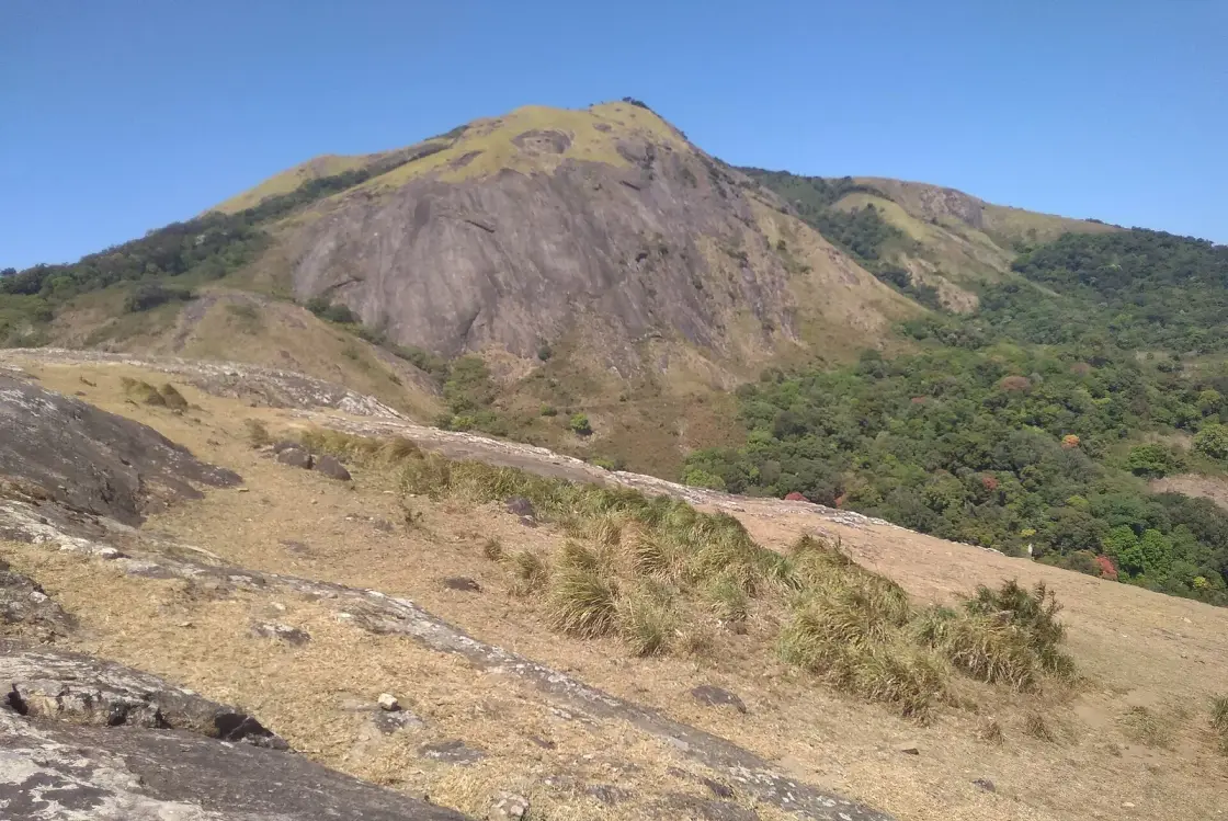
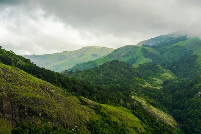
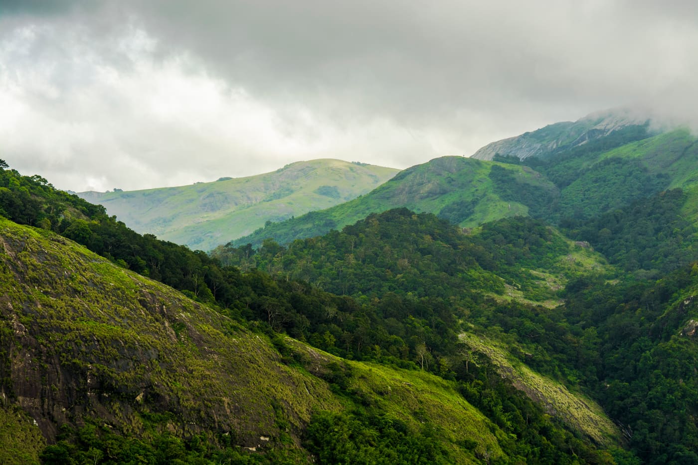
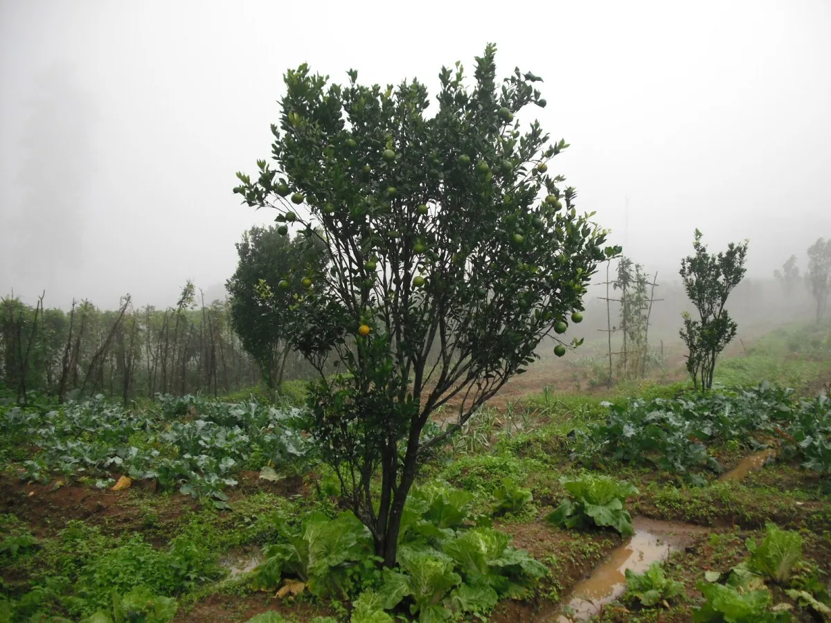
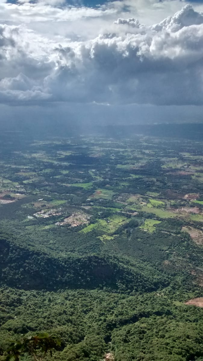
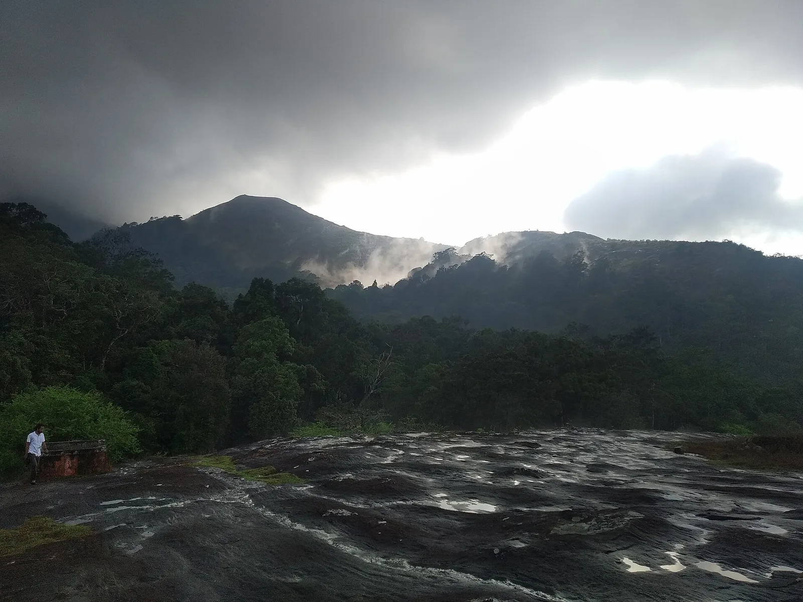
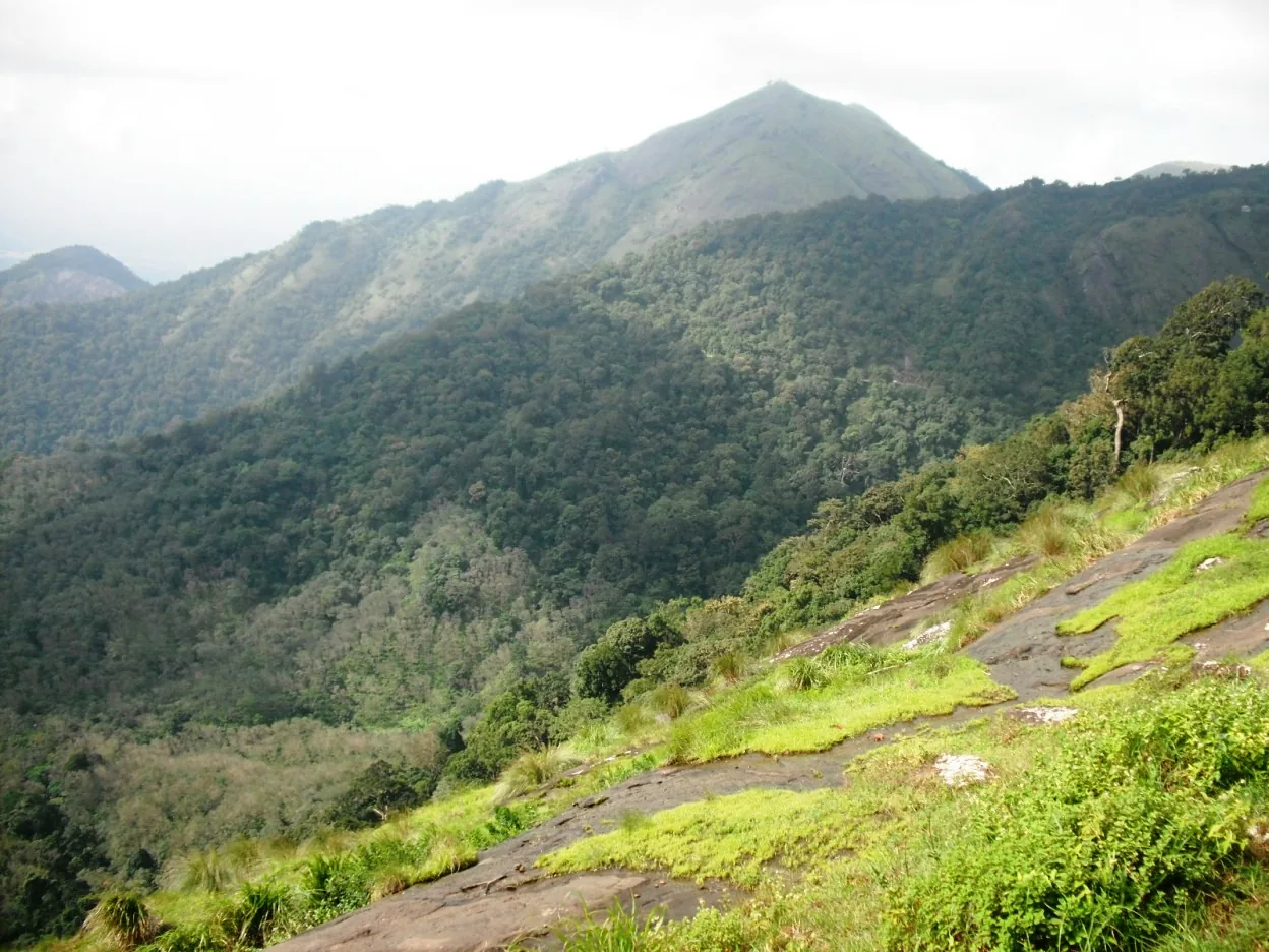
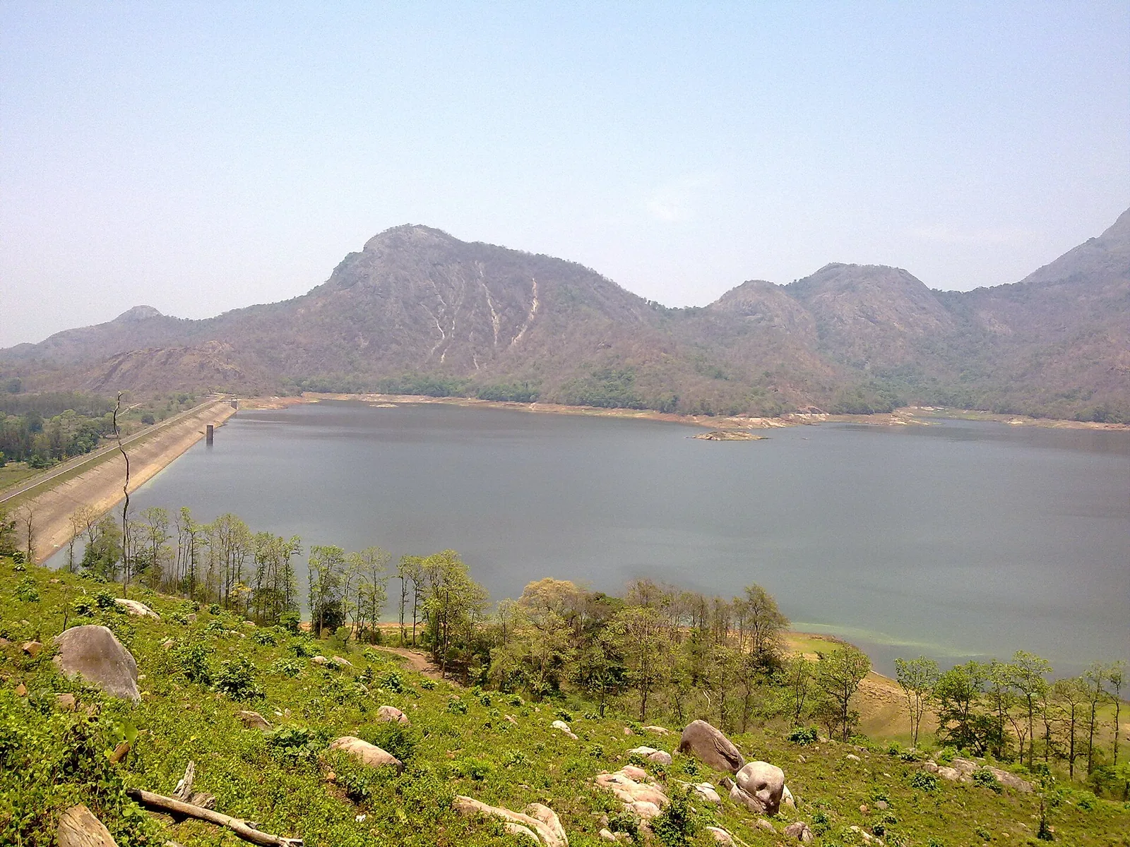
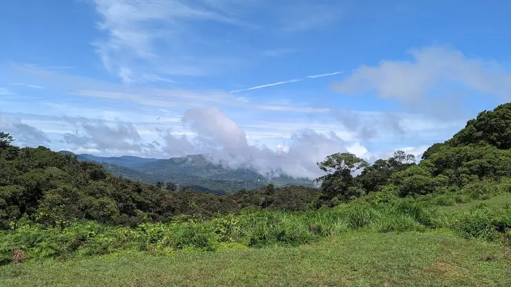
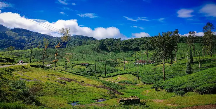
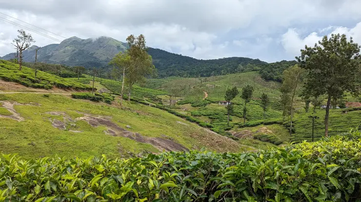
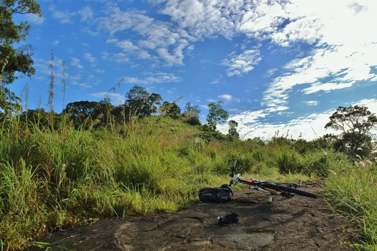
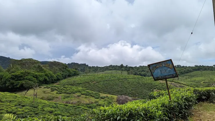
The ground here is not one thing. Above about a thousand metres the Nelliyampathy range breaks up into bald granite domes with dry grass on their shoulders and shola packed tight into the folds between them — the shola-grassland mosaic of the high Western Ghats — and the plantations run right to the edge of it. Tea on the cool shoulders, coffee under shade trees, cardamom in the damp, pepper on its supports, orange groves in pockets. A walk of an hour here can cross private estate, protected woodland and open rock, which is why permission and a guide are not a formality.
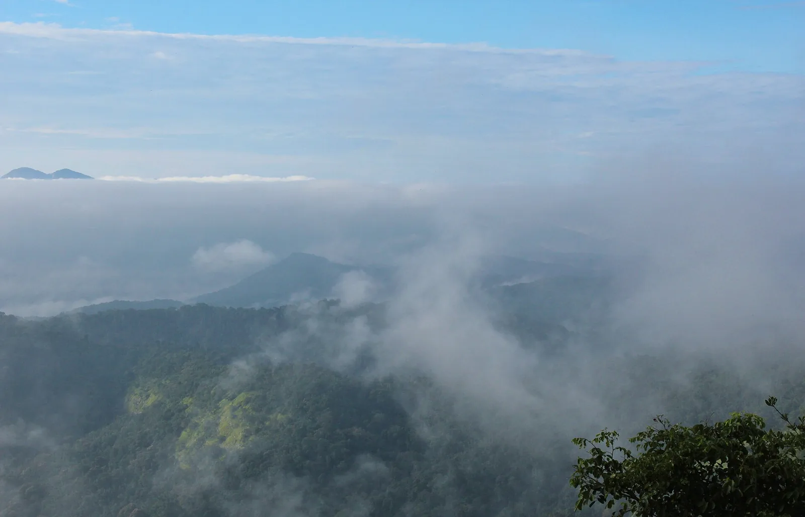
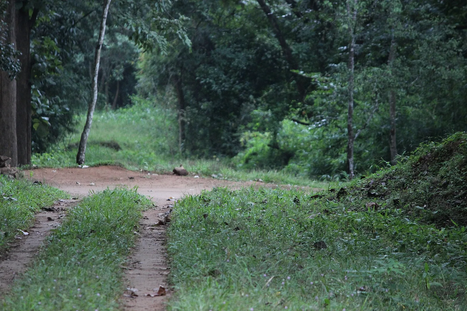
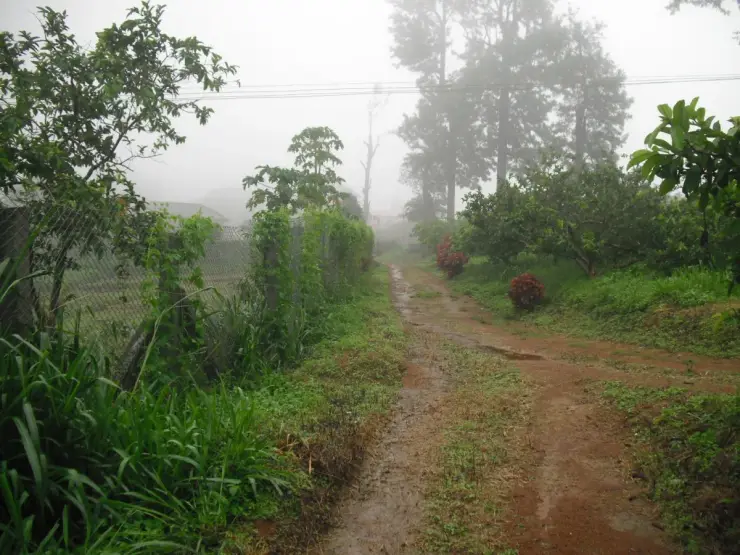
The easiest of the walks is Kesavan Para. From the settlement it is about four and a half kilometres by road, and the path in is a red-earth track that climbs under a closed wet-evergreen canopy with the light coming down green through it. It opens without warning onto a vast sheet of bare rock tilted out over the valley, and in the mornings the cloud comes up the slope and over the lip of it. On a clear day the ridges stand out in layers. In cloud you can see about twenty metres, which is worth knowing before you drive up.
The longer routes are the Forest Division's. Palakkad district lists three of them by name: Hill Top by way of Lilli, six kilometres; Karassuri, near Anamada, thirteen; and a crossing to Parambikulam of twenty. All three are marked as subject to permission from the Forest Division, and that is not a formality either — Nelliyampathy sits under the Nemmara division and adjoins the Parambikulam Tiger Reserve, so the far end of the longest route is a different protected area with its own entry rules.
Seetharkundu, Palagapandy, Kesavan Para and Karappara are joined to one another by small paths through the trees and over the hills, and this is the part of Nelliyampathy that most visitors never see because it does not appear on any signboard. The paths are working estate and division tracks rather than laid trails, they are not waymarked, and they cross ground that belongs to somebody. They are also the reason people who know the place come back to it.
Manpara is the one that people talk about and few people walk. It is one of the high points of the range and the usual way up is not on foot at all but two hours in a semi-open four-wheel-drive over broken track, generally from Palagapandy. There is a steep path through the trees as an alternative for people who want it. From the top the whole Palakkad range is laid out, and the drop is the same one you see from the plateau, only from higher up and with nothing in the way.
Standing on a rock near Manpara, alone, is Victoria Church — a small ruined chapel from the planting era, roofless and abandoned, with the hills around it and nothing else. It is the only building on any of these routes, and it is the clearest thing on the range to say what happened here: the walking country and the plantation country are the same country, and one was laid over the other.
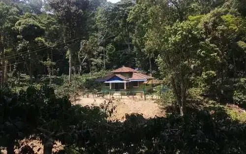
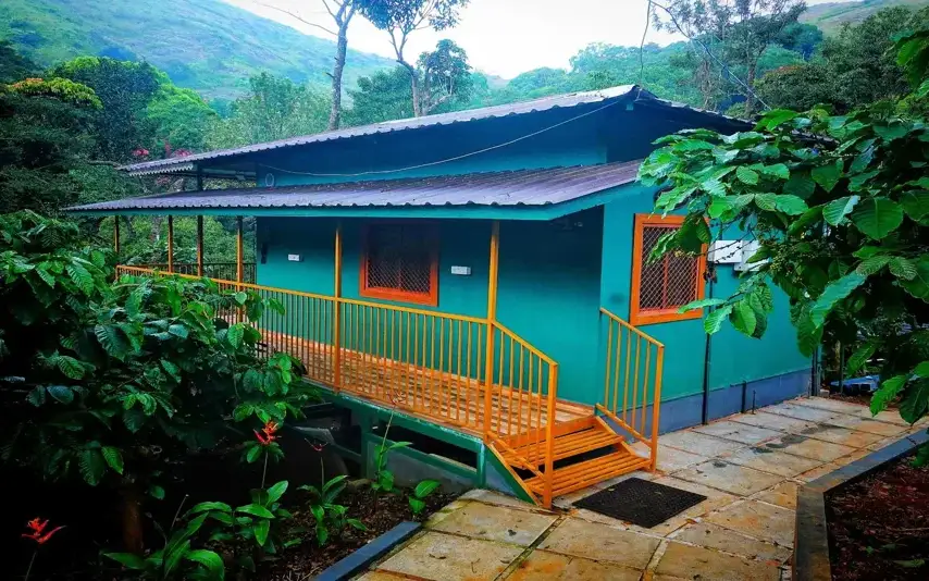
The Kerala Forest Development Corporation runs the only packaged version of any of this. Its Nelliyampathy programme costs two thousand rupees a person, runs November to the end of May, and puts a trek to Pothumala and Seetharkundu together with a jeep safari to Pakuthipalam, a night in one of its lodges and food. It is booked through the corporation's divisional office at Thrissur rather than on the hill, and it is sold as a package rather than as a ticket at a gate.
There is a fourth way to arrive that almost nobody uses, and it is the hardest: the climb up from Kollengode on the plain to the top of Seetharkundu. Instead of driving round by Nenmara and up the ghat you go straight at the escarpment from below. Kerala Tourism describes it as a steep climb and an exhilarating one, and the hilltops on that side stretch between eight and fifteen kilometres.
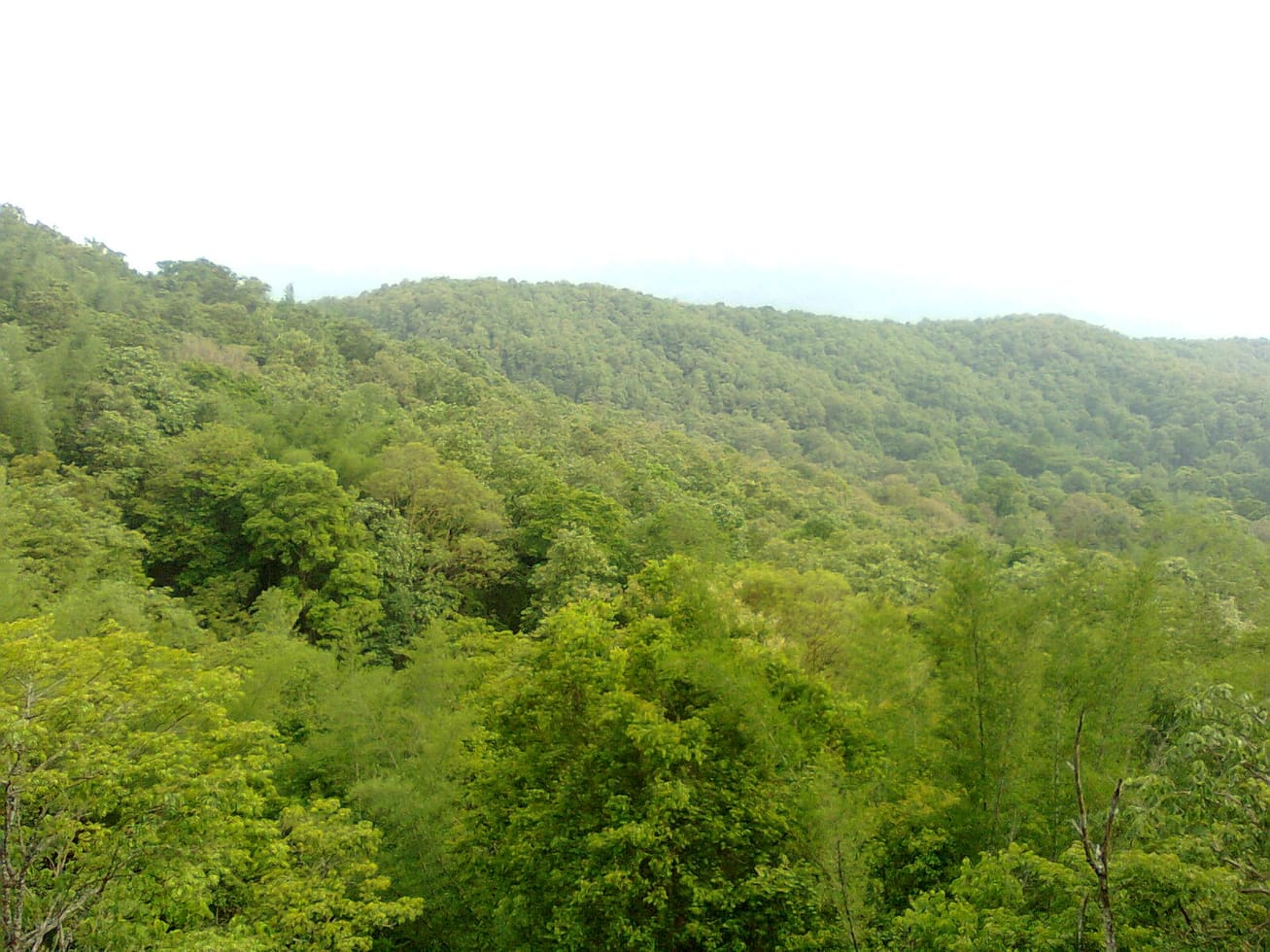
What you are likely to meet is the argument for going. The range holds gaur, Indian giant squirrel, and the endangered Nilgiri tahr and lion-tailed macaque; the Nilgiri marten, one of the least-photographed carnivores in India, has been recorded in the Nelliyampathy range. Great hornbills work the canopy. Elephants move through, and the division shuts routes when they are moving, which is the single most common reason a planned walk here does not happen.
Legend & myth
The name Seetharkundu carries a claim, and the walk up to it is the reason the claim gets repeated. It is traditionally held to be where Rama, Lakshmana and Sita rested during the years of exile, and the name is read as Sita's rock or Sita's pool. It is told as devotional legend and not as history, and it is worth hearing before the climb from Kollengode rather than after, because the climb is what the story is about: people came up the escarpment on foot long before there was a road round the side.
Manpara is also called Raja's Cliff, and one account gives its height as 5,249 feet. The figure is exactly sixteen hundred metres when converted, which is the shape of a number that has been rounded somewhere along the way rather than measured. The range's own published heights do not agree with each other either.
Read the full history of Nelliyampathy trek 538 more words
History
Everything you walk across up here was leased out within living memory of the first road. The Nelliyampathy hills belonged to the Vengunad Kovilakam of Kollengode, the family whose seat is down on the plain at the foot of the Seetharkundu escarpment, and in 1889 tracts of that forest were leased to two Britons, Arthur Hall and W. R. M. McKenzie, who opened the land for cultivation. In 1896 they sold the leasehold on to a Finlays enterprise, the Amalgamated Tea Estates Company Ltd, formed by John Muir.
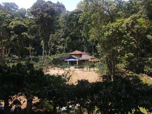
The estate first planted with arabica coffee, with cardamom between the rows, came to be called Seethargundu, after the viewpoint above it. It passed through Karuna Plantations and then to the Poabs group in 1988, who found it derelict and replanted it from 2000 onward on biodynamic lines. So the tea and coffee a walker passes on the way to the rock is not old growth in any sense: it is a nineteenth-century lease, replanted in the twenty-first.
Victoria Church belongs to the same forty years. It was built for the planters and their people while the estates were being cut out of the trees, and it was left when they went. Nothing about it is maintained and nothing about it is interpreted; it is a roof gone and walls standing on a rock, and it is the last physical thing on the range from the period that made the range what it is.
The other half of the ground went the other way. The high woodland was never cleared, and it is now reserve forest under the Nemmara division, with the Kerala Forest Development Corporation holding plantations and running ecotourism on part of it. That is why a single walk crosses two regimes with two sets of rules, and why the answer to whether you may go up a particular track depends entirely on which of them owns it.
One consequence of that split ownership is worth knowing before you plan anything. The estate roads look like the obvious way to walk between the viewpoints, and several of them genuinely do connect — but they belong to the companies, not to the public, and permission for them comes from the estate office rather than from the Forest Division. The two authorities do not speak for each other, and a yes from one is not a yes from the other.
Why visit
The walking here is genuinely off the tourist map: Nelliyampathy is visited as a drive, and the paths are empty even in season.
Kesavan Para gives you a forest footpath and a bare granite sheet with the ridges falling away below it, in about half a day from the settlement.
Three named routes — Hill Top, Karassuri and the crossing to Parambikulam — run into country that has never been cleared.
Victoria Church, a roofless planters' chapel standing by itself on a rock near Manpara, is the only building out there.
The shola-and-grassland mosaic on the high ground holds Nilgiri tahr, lion-tailed macaque, gaur, great hornbill and the rarely seen Nilgiri marten.
The KFDC programme is the one packaged way in, with a forest lodge at the end of it, and it runs through the dry half of the year.