Karadipara

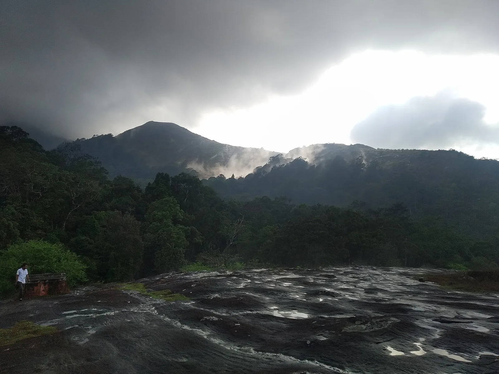
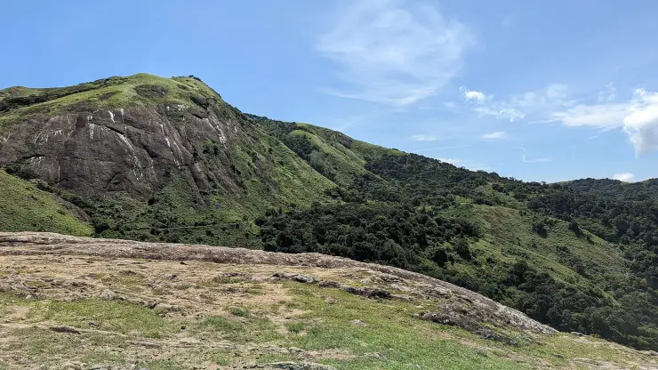
Ten minutes is all this takes, and it is one of the better ten minutes on the plateau. The rock sits at the roadside a kilometre and a bit out from the Kaikatty junction, tilted granite with grass in its seams, and you are standing on it as soon as you leave the vehicle. Nothing marks it and nothing is built on it, which is why it stays empty while cars queue at the better-known viewpoints a few kilometres away.

Karadipara, Nelliyampathy
Practical guide

Plan Karadipara

Who's going?Tailor Karadipara to your trip
Typeviewpoint
AreaNelliyampathy
DistrictPalakkad
Best timeNovember to May, in the morning
Time neededTen to twenty minutes on its own
EntryFree
Places to visit3Listed businesses10

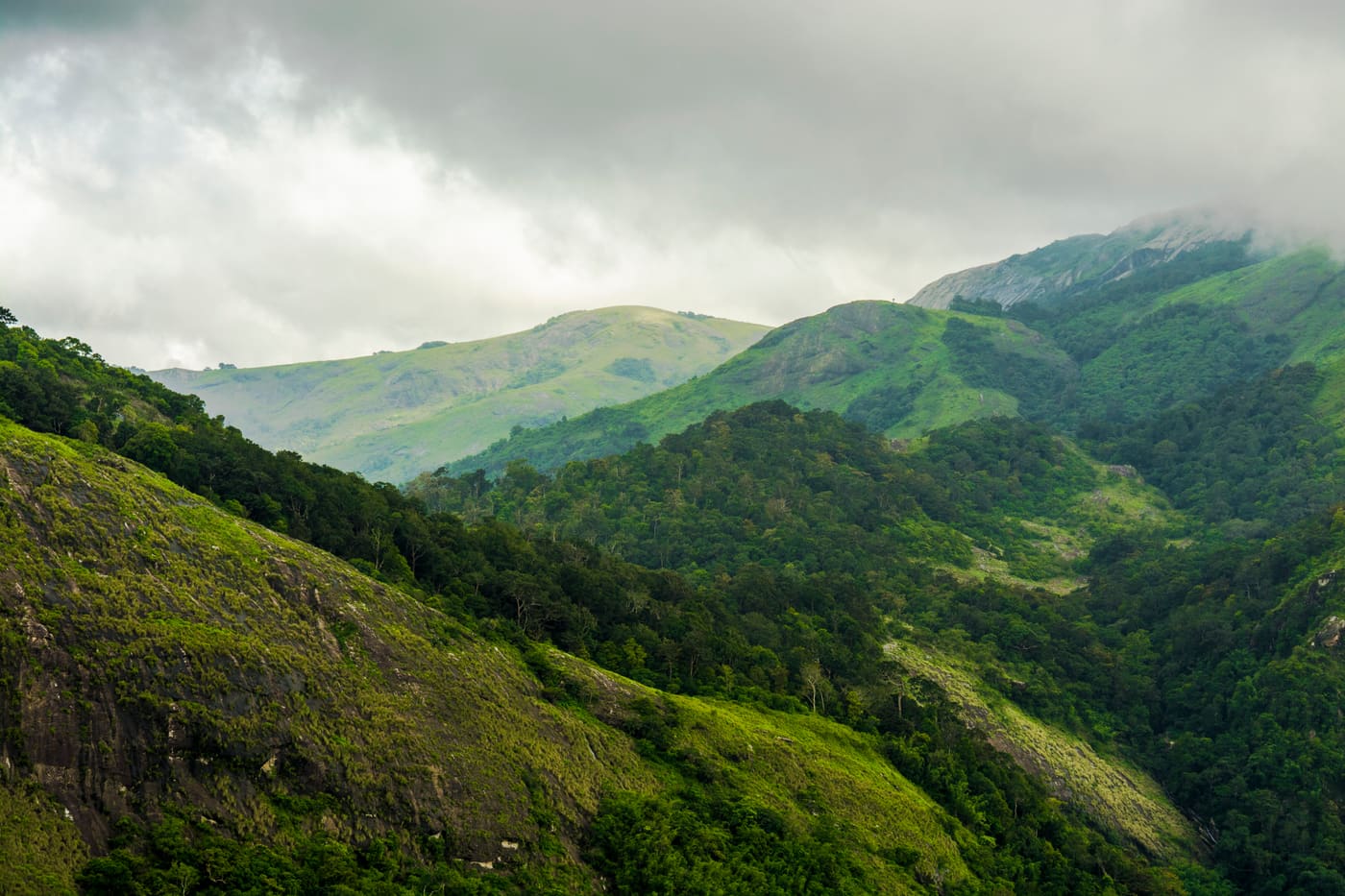
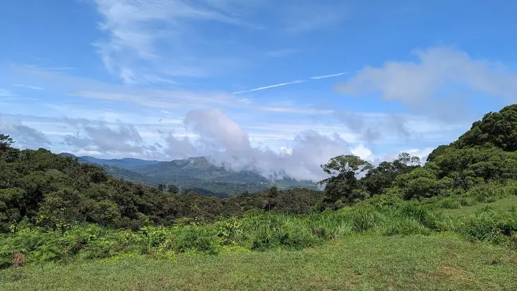
What makes the view unusual here is what is not in it. From the plateau's better-known viewpoints you are looking down on tea, coffee or cardamom, and the landscape reads as worked ground. This one looks into forest with no planting in it anywhere, on land that was never leased, inside the eco-sensitive zone proposed around the Parambikulam Tiger Reserve over the ridge to the south. It takes ten minutes and it pairs naturally with Kesavan Para, a few hundred metres away across the hillside.

The story

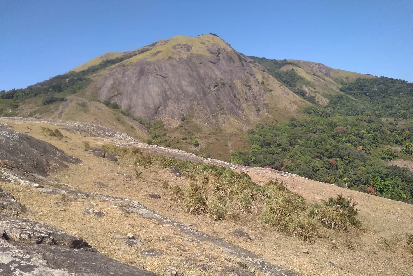
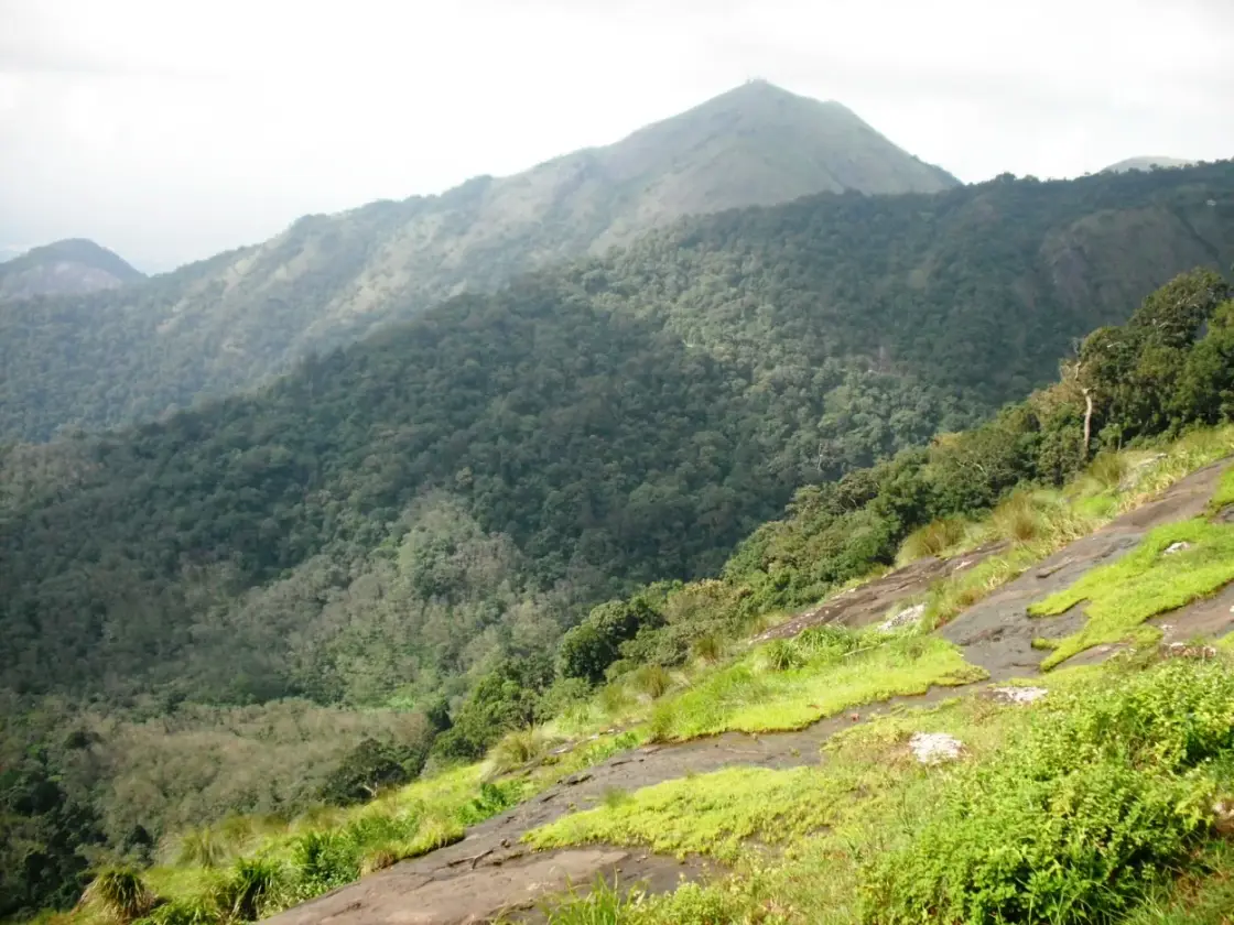
Karadipara is a shoulder of bare rock beside the Kaikatty–Nooradi road, a kilometre and a bit from the Kaikatty junction, and it is the viewpoint on this plateau that nobody stops at. What it looks out on is worth the stop: an entire fold of unbroken evergreen forest dropping away below the rock, and across it a steep conical peak standing above everything else on the ridge. There is no sign, no railing and no car park, which is precisely why it is usually empty.

The story of Karadipara

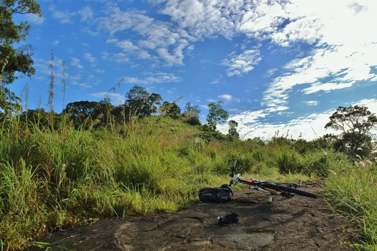
The rock itself is a tilted sheet of granite with grass and small tufted plants growing in its seams — the same bald-dome geology as Kesavan Para, which is only a few hundred metres away across the hillside, but smaller and right at the roadside. You step off the tarmac onto it. That is the whole approach.

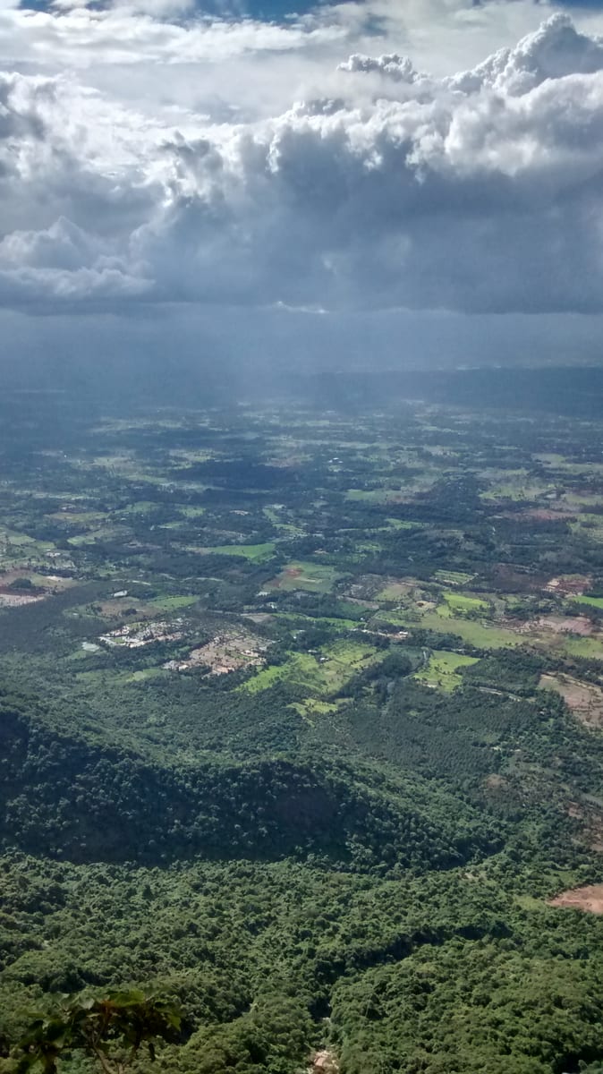
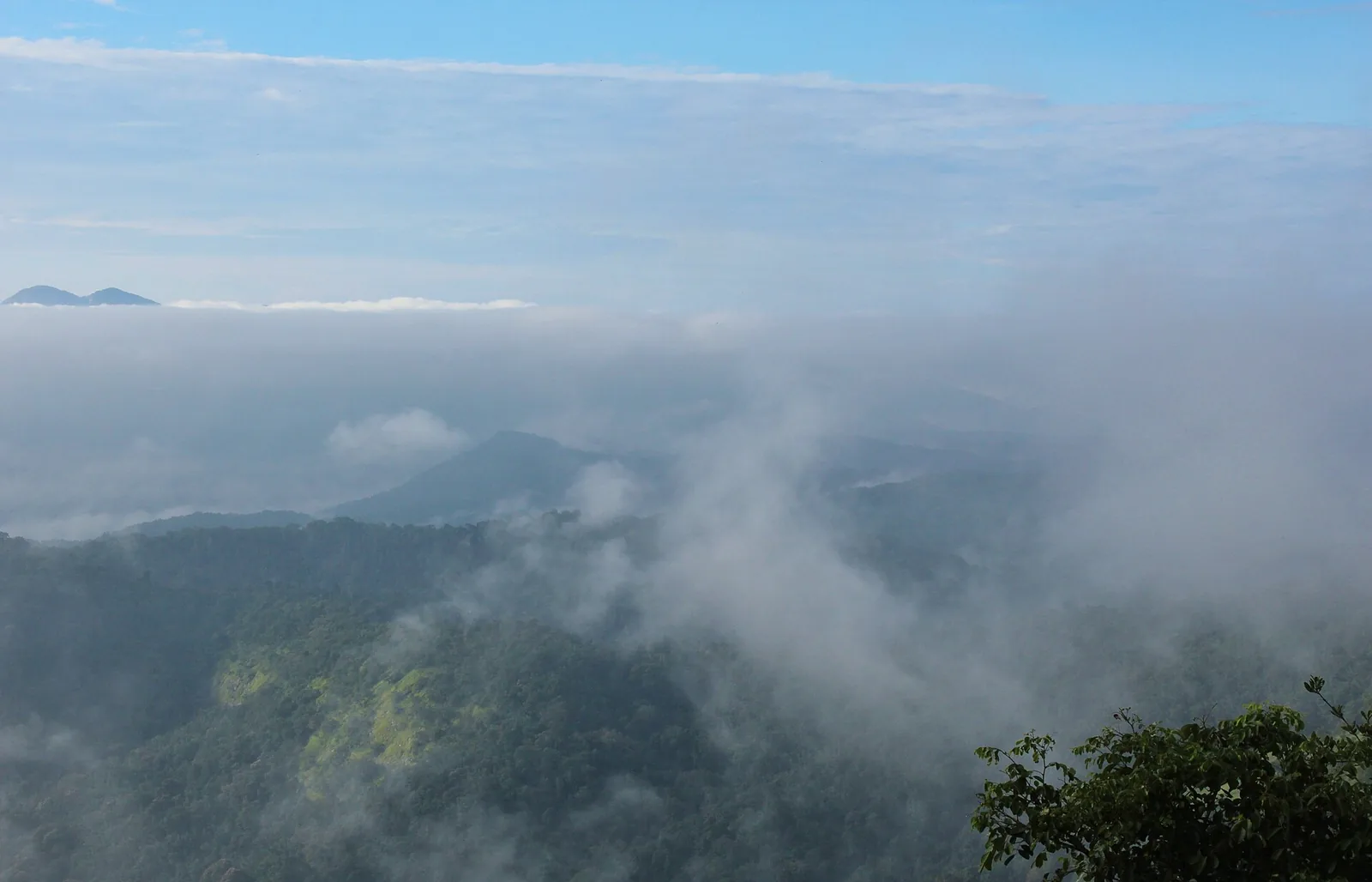
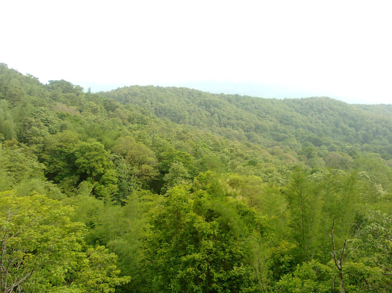
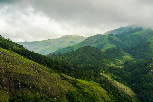
What makes the view unusual on this range is that there is no plantation in it. From most of the plateau's viewpoints you are looking down on tea, coffee or cardamom, and the landscape reads as worked. Here the fold below the rock is filled edge to edge with wet evergreen forest, unbroken, running down into a shaded valley and up the far side to the peak, with the Palakkad plain showing pale away to the west.

The forest below is part of why the ground here is protected: this shoulder falls inside the eco-sensitive zone proposed around the Parambikulam Tiger Reserve, which lies south over the ridge. What you are looking at is habitat rather than scenery, which is also why it is quiet.

Karadipara is one of the string of bare tops on the Manalaroo side of the plateau — Kesavan Para is in the same ward and reachable on the same road, and the footpaths that link the high points run through here. Doing the two together is the sensible way to spend a morning: Karadipara for the drive-up view over unbroken forest, Kesavan Para for the walk in and the bigger rock.

An eco-sensitive zone is not a park, and the distinction matters for what you are looking at. People live and farm inside one; what it restricts is the kind of development that breaks a continuous forest into fragments. The fold below this rock — canopy unbroken from the valley floor to the ridge — is precisely the sort of thing that designation exists to keep unbroken, and it is why the view has no planting in it while almost every other view on this plateau does.

It is worth knowing what a bear-rock name implies about the country. Sloth bears live in forest and scrub of this type across the Western Ghats, feeding largely on termites and ants and on fruit in season, and they are most active at night and around dawn and dusk. They are not commonly seen and they are not looking for people, but they are the animal in these hills that reacts worst to being surprised at close quarters, which is another argument for not wandering off the rock into the scrub at either end of the day.

The rock itself is the same granite as its neighbours, tilted rather than domed, with grass and small tufted plants holding on in the seams where a little soil has gathered. It is smaller than Kesavan Para and much easier to reach, and the trade is exactly what you would expect: less of an occasion, and no walk to earn it, but a view you can stop at on the way past and quite often have to yourself.

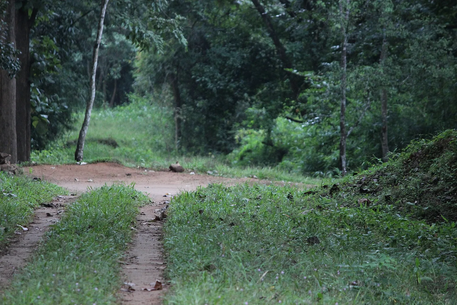
The road that gets you here is worth a sentence of its own. The Kaikatty–Nooradi road runs south-west off the main plateau road at the Kaikatty junction and works its way along the hillside through estate and forest towards Nooradi, and it is the artery for this whole side of the plateau: Karadipara, Kesavan Para and the paths up to the higher tops all hang off it. It is metalled but narrow, with rock on one side and a drop on the other in places, and there is no verge to speak of. Estate lorries use it, and they use the middle.

What you hear from the rock is as much of the attraction as what you see. With no shop, no railing and usually no other vehicle, the sound is cicadas, a great deal of wind moving through the canopy below, and — if you are there early — birds working the tops of the trees at eye level and below you, which is an angle you almost never get on a bird. Malabar giant squirrels are the animal most likely to give themselves away, by crashing about in a crown somewhere under your feet.

The season changes this view more than it changes most. Between November and February the air is dry and the far ridges come out sharp with the plain visible past them; in March and April the light goes hazy and flat; through the southwest monsoon the fold below fills with cloud and the rock is genuinely dangerous. Immediately after the rains, in October, everything below is at its greenest and there is water running in the valley — the best single fortnight of the year to stand here, and the one nobody plans for.
Read the full history of Karadipara 204 more words

History

The name is built the same way as its neighbour's: para is rock. Karadi is the bear, and a bear-rock name on a Western Ghats ridge is common enough that it tells you what the ground was rather than what happened on it. Sloth bears live in this kind of country.

This is one of the pieces of the range that was never leased and never planted. The 1889 lease of the Nelliyampathy hills opened the slopes below to coffee and then to tea and cardamom, and the high rock and the shola in the folds were left out of it. The unbroken canopy in the view is the visible result.

Why visit

A fold of unbroken evergreen forest with no plantation anywhere in the view, which is rare on this plateau.

A steep conical peak standing across the valley above the surrounding ridge line.

A roadside rock you can step onto straight from the car, 1.3 km from the Kaikatty junction.

Almost always empty, with no sign, no railing and nothing built.

Ten minutes from Kesavan Para on the same road, so the two make one short morning.

Ground inside the eco-sensitive zone proposed around the Parambikulam Tiger Reserve, over the ridge to the south.

What to expect

Highlights

  • An unbroken fold of wet evergreen forest with no plantation anywhere in the view.
  • A steep conical peak standing above the ridge line on the far side of the valley.
  • A roadside rock you step onto straight from the vehicle, 1.3 km from Kaikatty and about three and a half kilometres from the settlement.
  • Emptiness — no signboard, no railing, nothing built, and usually nobody there.
  • Kesavan Para on the same road, which is the walk to pair with this drive-up view.
  • The Palakkad plain showing pale in the distance to the west on a clear morning.
Getting there

How to visit

  • Drive the Kaikatty–Nooradi road out of the Kaikatty junction; it is a couple of minutes and the rock is on the roadside.
  • Park well off the tarmac. The road is narrow, has no verge and carries estate traffic round blind bends.
  • Walk onto the rock and stay back from the edge, which is smooth granite on a slope with nothing at the bottom.
  • Carry on to Kesavan Para afterwards and do the walk in — the two together make a short morning that is worth more than either alone.
  • Come early. This view is taken away by cloud from the middle of the morning for much of the year.

Distance by road

  • Coimbatore54 km
  • Kozhikode127 km
  • Kochi143 km
  • Madurai224 km
  • Mysuru251 km

Road km to Palakkad; ghat roads and traffic vary — allow extra.

Timing

Best time

November to May, in the morning. December to February gives the clearest air and the best chance of seeing the plain in the distance. In the monsoon the rock is treacherous and the fold below is usually invisible.

Weather in KaradiparaSeasonal guide

Live forecast loads in your browser.

Today at Karadipara
Sunrise6:12 am
Sunset6:05 pm
Golden hour best light5:05 pm–6:05 pm
Blue hour after sunset6:05 pm–6:30 pm
Sun sets toward compass bearingW · 261°
Moon tonight🌒 Waxing crescent · 33%
Retreating monsoon. October and November still see spells of rain from the retreating monsoon, though it is usually lighter than mid-year. Conditions are generally good but worth checking.

Sun and moon are calculated for this location and shown in IST. Photography windows are the hour around sunrise and sunset; the sunset bearing is degrees clockwise from true north. Moon phase is accurate to about half a day.

Visitor notes

  • There is no infrastructure of any kind here and nothing is charged.
  • The rock is an open sheet with unfenced drops and it is slick when wet.
  • Para is rock and karadi is bear; the name describes the country rather than an event, and sloth bears live in forest of this type.
  • It is in the Manalaroo ward of the Nelliyampathy grama panchayat, the same ward as Kesavan Para.
  • No shop, no toilet, no reliable signal. Bring what you need.
Safety

Good to know

  • Keep off the lower edge of the rock, particularly in the wet.
  • Park carefully: the road is narrow and vehicles come round the bends quickly.
  • Elephants use this road at dawn and dusk. Do not get out if you see fresh sign.
Official eco & forest programmes

Experiences around Karadipara

These are official or public-sector eco offerings that match this place, town or forest destination. Confirm availability, permits, tariffs and reporting times with the official operator before travel.

Nelliyampathy, Karadipara
trekviewpointwildlife

Nelliyampathy hills eco visit

Hill, plantation and forest viewpoint landscape above Palakkad, included in Kerala Tourism’s ecotourism inventory.

Kerala Forest Department / local tourism authorities
Official source →
Stay · eat · do · rent · see · shop

Stays, food & things to do near Karadipara

Browse listed stays, food, activities, sights, shops and rentals around Karadipara. Check each listing’s locality and contact the business directly for current arrangements.

Hotel · Nelliyampathy
Nelliyampathy Resorts

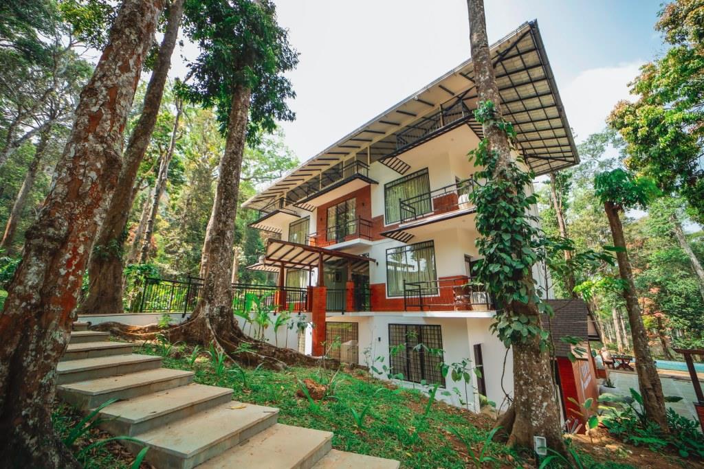
Forest-cottage resort in the Nelliyampathy hills off Kaikatti Road. Its cottages lie inside the forest, reached by four-wheel-drive vehicles.

Directions Commission-freeView details
Hotel · Nelliyampathy
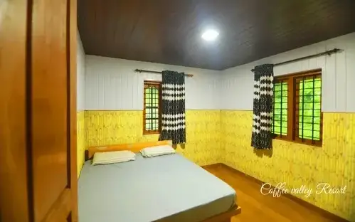
Coffee Valley Resort
2.6 km · straight-line distance

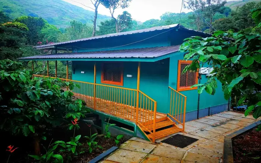
Cottages nestled amid hills and a coffee estate in Nelliyampathy. It sits about 100 m from Seetharkundu viewpoint, famed for sweeping valley views.

Directions Commission-freeView details
Hotel · Nelliyampathy
Hill Valley Farm House
2.9 km · straight-line distance

A family-run farmhouse stay in the Sahyadri range at Nelliyampathy. Family cottages and a budget dormitory sit amid coffee-valley plantations with mountain views.

Directions Commission-freeView details
Hotel · Nelliyampathy
Kailas Estate Trails
4.5 km · straight-line distance

A boutique estate stay with ten rooms across bungalows, 4 km from Nelliyampathy town. Guests join coffee-plantation walks and birdwatching in the Western Ghats.

Directions Commission-freeView details
Resort restaurant · Nelliyampathy
Nelliyampathy Resorts Restaurant Kaikatti

The restaurant at Nelliyampathy Resorts on Kaikatti Road, and one of very few places to eat on the plateau. It serves the resort's own cottages first, so telephone before making the drive up for a meal.

Directions Commission-freeView details
Resort · Nelliyampathy
VANYA by Citrine Nelliyampathy
4.7 km · straight-line distance

VANYA by Citrine resort at Ranimedu Estate, Pulayanpara, Nelliyampathy. Nelliyampathy resort support.

Directions Commission-freeView details
Farm stay · Nelliyampathy
Hill Valley Farm House Nelliyampathy
2.9 km · straight-line distance

Hill Valley Farm House is a Nelliyampathy farm-house stay in Ravivarma Estate, useful for quieter hill stays and nature-led Palakkad itineraries. Farm stay, Ravivarma Estate, Hill stay.

Directions Commission-freeView details
Resort · Nelliyampathy
Nelliyampathy Resorts Kaikatti

Resort in Nelliyampathy. Nelliyampathy Resorts, Ravivarma Estate, Kaikatti Road, Nelliampathi, Palakkad, Kerala 678508 · Rs 4000-8000 listed on source · Nelliyampathy stay, Kaikatti Road, Ravivarma Estate.

Directions Commission-freeView details
Hotel · Nelliyampathy
KFDC Ecotourism Nelliyampathy

The Kerala Forest Development Corporation's own forest lodge and tent stay in the Nelliyampathy hills, and the only packaged trekking here. Day and stay programmes; booked through the corporation, not at a counter on the hill.

Commission-freeView details
Direct resort contact · Nelliyampathy
Merryland Resort Nelliyampathy
2.9 km · straight-line distance

Merryland Resort Nelliyampathy local contact record for hill-station overnight stays. Direct resort contact.

Directions Commission-freeView details

Book with the place itself. India’s cyber-crime coordination centre warned in April 2025 that convincing copies of hotel and pilgrimage booking sites are being pushed through sponsored search and social ads, taking payment for rooms the property never hears about. Use the contact and source details on each profile to confirm the exact business and booking channel. A directory entry or map pin alone does not establish an operator’s identity or current availability. Roampedia takes no commission and does not collect booking payments. If a booking page reached you through an ad, check the address bar against the property’s own site before you pay. Fraud can be reported on cybercrime.gov.in or on 1930.

Options

More ways to explore Nelliyampathy

Find food, accommodation and activities across Nelliyampathy. Browse the guides for places to eat, stay and explore along your route.

Across the whole of Nelliyampathy

Nearby guides

Top experiences around Nelliyampathy

6 more places around Nelliyampathy. Open a guide to plan the visit and onward journey.

hill stationNelliyampathy

1.4 km · straight line

Tea and orange-garden hill station reached through forested ghat roads.

trekNelliyampathy trek

2.6 km · straight line

Walking routes off the Nelliyampathy plantation plateau: an evergreen-forest footpath to the bare granite of Kesavan Para, longer forest-division routes to Hill Top, Karassuri and over the ridge to Parambikulam, and a four-wheel-drive climb to Manpara and the ruined Victoria Church.

activityGovernment Orange and Vegetable Farm

2.5 km · straight line

A state farm at Kaikatty growing mandarin oranges, winter vegetables and a fruit forest of fifty varieties on the Nelliyampathy plateau — the Kingdom of Cochin's Poliya estate, a farm since 1943 and an orange and vegetable farm since 1956, with a passion-fruit processing unit and a published ticket.

viewpointSeetharkundu viewpoint

5.8 km · straight line

The name makes the claim: Seetharkundu is traditionally held to be where Rama, Lakshmana and Sita rested during the exile. It sits five kilometres by road from the Nelliyampathy settlement and about seven from Kaikatty, and looks out over the Palakkad plain a thousand metres below — which means it is worth almost nothing in cloud and a great deal on a clear morning. Check the weather before committing the drive.

viewpointKesavan Para

510 m · straight line

A bare rock shoulder with a long view, about four and a half kilometres by road from the Nelliyampathy settlement and two from Kaikatty, reached by a short path through wet evergreen forest. It is said locally to be where Mrigaya was shot in 1989 with Mammootty, though the claim is repeated more often than it is evidenced. Para means rock, and the walk in is half the pleasure of it.

viewpointRanimedu

4.6 km · straight line

A working plantation on the southern shoulder of the Nelliyampathy plateau with a grass-and-rock top point above it, named by Kerala Tourism as a trekking destination and reached by estate track rather than by road.

Roampedia is commission-free — own or know a stay, eatery, guide or shop near Karadipara? Submit public business details for review.

Add a nearby business
Before you go

Karadipara — at a glance

TimingsThere is no gate and no published hours. The morning is the useful half of the day, because cloud comes up this face and closes the view from late morning onward for much of the year.

Entry: Nothing is charged.

Photography: Shoot with the rock in the bottom of the frame — the grass in the seams and the tilt of the granite are what give the drop its depth, and without them the forest below photographs as a flat green mass. The conical peak across the valley is the anchor of the composition. Late morning cloud coming up through the fold is the shot worth waiting for, and it is also the one that ends the visit.

Parking: There is no parking area. Vehicles are left on the roadside, and the road is narrow enough that where you leave it matters.

Getting here

How to reach Karadipara

  • ✈︎ By air Cochin International Airport is about 120 km by road; Coimbatore is the other option.
  • 🚆︎ By train Palakkad Junction is the practical railhead, with Thrissur at 77 km and Shoranur Junction at 80 km from Nelliyampathy per Kerala Tourism.
  • 🚗︎ By road 1.3 km from the Kaikatty junction on the Kaikatty–Nooradi road, and about three and a half kilometres from the Nelliyampathy settlement — four or five minutes from either. Getting on to the plateau is the long part: 19.6 km and about twenty-five minutes up the ghat from Pothundy dam.
  • 🚌︎ By bus Nothing serves the Kaikatty–Nooradi road. Buses come up to Nelliyampathy from Nenmara and Kollengode and stop there; the last few kilometres need a taxi or a walk.
Getting back

If you are travelling by bus or ferry, check the return service with the operator before setting out. Leave time to reach the stop or jetty after your visit.

Ask at the bus stand for the time of the last service back, not the next one. If you miss it, an auto or app cab is the fallback — agree the fare before you get in.

Do

Things to do

  • Step off the road onto the rock and look straight down into a fold of forest with nothing planted in it.
  • Pick out the conical peak across the valley and follow the ridge line either side of it.
  • Carry on 700 metres or so to Kesavan Para and do the walk in, which is the natural pair to this stop.
  • Look for the plain showing away to the west on a clear morning.
  • Sit still for ten minutes — this is one of the few viewpoints here where you are likely to have the place to yourself.
Plan

Good to know

  • Park well off the tarmac. The road is narrow, there is no verge and vehicles come round the bends fast.
  • Keep off the edge of the rock, especially in the wet. It is smooth granite on a slope with nothing at the bottom of it.
  • Come early. This is a view that cloud takes away by the middle of the morning for much of the year.
  • Bring everything with you. There is nothing here and no signal to speak of.
  • Watch for elephants on this road at dawn and dusk, and do not get out if you see fresh sign.
Getting around Karadipara

If you need step-free access, contact the site before travelling. Ask about a level entrance, steps along the route, the nearest drop-off point, seating and accessible toilets.

Nearby

What’s near Karadipara

viewpointKesavan Para

A great sheet of bare granite tilted out over the valley at the end of a red-earth path through wet evergreen forest — the one walk on the Nelliyampathy plateau that anyone reasonably fit can do without the Forest Division's permission.

510 m · straight line
hill stationNelliyampathy

Tea and orange-garden hill station reached through forested ghat roads.

1.4 km · straight line
activityGovernment Orange and Vegetable Farm

A state farm at Kaikatty growing mandarin oranges, winter vegetables and a fruit forest of fifty varieties on the Nelliyampathy plateau — the Kingdom of Cochin's Poliya estate, a farm since 1943 and an orange and vegetable farm since 1956, with a passion-fruit processing unit and a published ticket.

2.5 km · straight line
trekNelliyampathy trek

Walking routes off the Nelliyampathy plantation plateau: an evergreen-forest footpath to the bare granite of Kesavan Para, longer forest-division routes to Hill Top, Karassuri and over the ridge to Parambikulam, and a four-wheel-drive climb to Manpara and the ruined Victoria Church.

2.6 km · straight line
damPothundi Dam

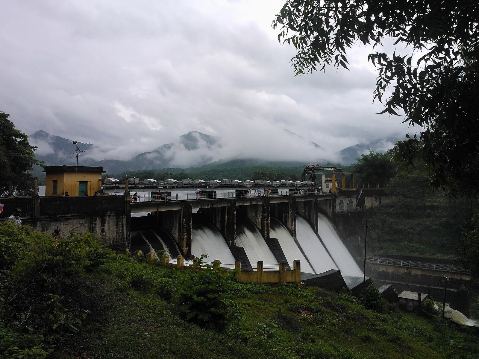
A 19th-century irrigation dam near Nemmara — one of the oldest in India, its core wall built with a jaggery-and-lime mix — with a scenic reservoir, gardens and boating.

4.3 km · straight line
viewpointRanimedu

A working plantation on the southern shoulder of the Nelliyampathy plateau with a grass-and-rock top point above it, named by Kerala Tourism as a trekking destination and reached by estate track rather than by road.

4.6 km · straight line
viewpointSeetharkundu viewpoint

The edge of the Nelliyampathy escarpment, where the plateau stops and the Palakkad plain opens out a thousand metres below — a place you drive to and stand at, with a seasonal waterfall below the lip and a car park full of bold macaques.

5.8 km · straight line
heritageKollengode

A rural village ~19 km south of Palakkad below the Nelliampathy hills, known for its palace, the Vishnu temple, paddy landscapes and old Tamil-Brahmin heritage.

9.9 km · straight line
trekParambikulam trek

Four separate Forest Department trails from the Anappady information centre and other named starts: the 4 km Bear Path and Elephant Song walks, the 6 km Kariyanshola route with bamboo rafting, and the longer 10 km Pugmark trail from Peruvaripallam.

14.4 km · straight line
damMangalam Dam

A quiet reservoir among wooded hills near Alathur, south-west of Palakkad town — good for a peaceful drive and picnic.

15.4 km · straight line
wildlifeParambikulam Tiger Reserve

Major protected area accessed via the Anamalai side; permits and entry rules apply.

16.5 km · straight line
heritagePalakkad Fort

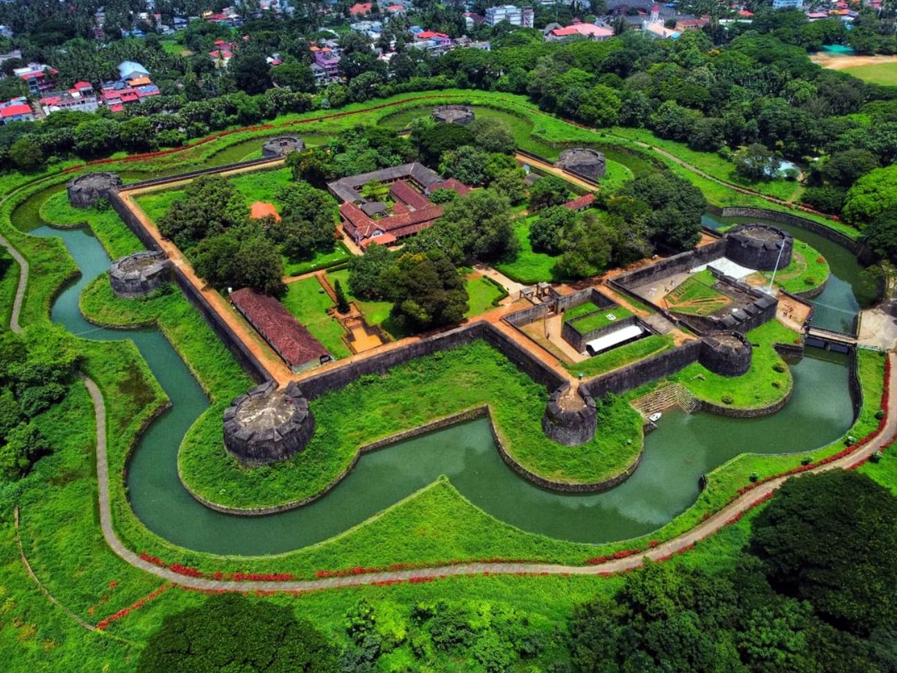
Well-preserved fort in Palakkad town, associated with Hyder Ali and Tipu Sultan.

26.8 km · straight line

3 detailed place guides in Nelliyampathy →

On the map

Where Karadipara is

Good to know

Karadipara — frequently asked

Where exactly is Karadipara?

On the Kaikatty–Nooradi road, 1.3 km from the Kaikatty junction and about three and a half kilometres from the Nelliyampathy settlement — under five minutes' drive either way. It is in the Manalaroo ward of the Nelliyampathy grama panchayat, the same ward as Kesavan Para.

Is there anything built there?

No. There is no signboard, no railing, no car park, no shop and no toilet. You pull up on the road and walk onto the rock, and that is the entire infrastructure.

What can you see from it?

A fold of unbroken wet evergreen forest dropping into a valley, a conical peak standing above the ridge on the far side, and the Palakkad plain showing pale in the distance to the west. There is no plantation in the view, which is what makes it different from the other viewpoints here.

Is it worth stopping at if I am going to Kesavan Para?

Yes, and the two belong together. They are on the same road within a few hundred metres of each other across the hillside; Karadipara is the one you drive to and Kesavan Para is the one you walk in to, and they show you different things.

Is it safe?

The rock is an open sheet with unfenced drops and it is slippery when it is wet, so keep back from the edges and keep children within reach. It is also forest country where elephants and gaur move, and the road itself is narrow with no verge to speak of.

When should I come?

November to May, and early. The view depends entirely on cloud, which builds against this side of the range through the day, and in the monsoon the rock is treacherous and the fold below is usually invisible.

Is there a fee?

No. Nothing is charged and there is nobody to charge it.

What does the name mean?

Para is rock and karadi is bear. Names of that shape are common along these ridges and describe the country rather than any particular event; sloth bears live in this kind of forest.

What is an eco-sensitive zone?

A buffer declared around a protected area — here the one proposed around the Parambikulam Tiger Reserve, which lies south over the ridge. People live and farm inside one; what it restricts is the kind of development that breaks a forest into fragments. The unbroken canopy below this rock is the sort of thing it exists to keep unbroken.

Are there really bears?

Sloth bears live in forest and scrub of this type through the Western Ghats. They are seldom seen, they are mostly active at night and around dawn and dusk, and they react badly to being surprised at close quarters — which is the practical reason not to wander into the scrub at either end of the day.

How is it different from Kesavan Para?

Kesavan Para is bigger, is reached by a walk through forest, and looks out over ridges. Karadipara is a smaller tilted rock at the roadside with no walk at all, and it looks into a single fold of unbroken forest with a peak above it. Do both; they are minutes apart.

Is there a signboard?

No. Nothing marks it, which is part of why it stays empty. Watch for the open rock on the left going out from Kaikatty.

Where exactly should I stop?

On the open rock, which is on the left going out from Kaikatty and is visible from the road. There is no sign and no lay-by, so pull as far off the tarmac as the verge allows and be aware that estate lorries use the middle of this road.

What will I hear up there?

Cicadas, wind in the canopy below, and birds working the tops of trees that are beneath you rather than above — an angle you rarely get. Malabar giant squirrels usually announce themselves by crashing about in a crown somewhere under your feet.

What is the best time of year, really?

The fortnight just after the monsoon ends, around October, when the fold below is at its greenest and there is water running in the valley. November to February gives the sharpest air and the best chance of the plain. March and April go hazy, and the monsoon fills the whole view with cloud.

Where does this road go?

The Kaikatty–Nooradi road leaves the main plateau road at the Kaikatty junction and works along the hillside towards Nooradi. It is the artery for this side of the plateau — Karadipara, Kesavan Para and the paths to the higher tops all hang off it.

When is the best time to visit Karadipara?

November to May, in the morning. December to February gives the clearest air and the best chance of seeing the plain in the distance. In the monsoon the rock is treacherous and the fold below is usually invisible.

What are the entry fee and timings at Karadipara?

Entry: Nothing is charged. Timings: There is no gate and no published hours. The morning is the useful half of the day, because cloud comes up this face and closes the view from late morning onward for much of the year.

How do I reach Karadipara?

Drive the Kaikatty–Nooradi road out of the Kaikatty junction; it is a couple of minutes and the rock is on the roadside. Park well off the tarmac. The road is narrow, has no verge and carries estate traffic round blind bends. Walk onto the rock and stay back from the edge, which is smooth granite on a slope with nothing at the bottom. Carry on to Kesavan Para afterwards and do the walk in — the two together make a short morning that is worth more than either alone. Come early. This view is taken away by cloud from the middle of the morning for much of the year.

How much time do I need for Karadipara?

Ten to twenty minutes on its own. Half a morning if you do it properly, with Kesavan Para on the same run.

What else is near Karadipara?

Nearby you can pair Kesavan Para (510 m, approximate straight-line separation), Nelliyampathy (1.4 km, approximate straight-line separation), Government Orange and Vegetable Farm (2.5 km, approximate straight-line separation), Nelliyampathy trek (2.6 km, approximate straight-line separation).

What should I know before visiting Karadipara?

Keep off the lower edge of the rock, particularly in the wet. Park carefully: the road is narrow and vehicles come round the bends quickly. Elephants use this road at dawn and dusk. Do not get out if you see fresh sign.

Image credits

Photographs: Jaseem Hamza (CC BY 3.0), Shino jacob koottanad (CC BY-SA 4.0), Noon Plastic (CC BY 4.0), Shagil Kannur (CC BY-SA 4.0). Wikimedia Commons.