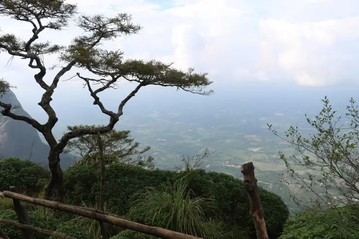
Seetharkundu viewpoint

The point where the Nelliyampathy plateau ends and the Palakkad plain begins, about a thousand metres straight down. It is reached by estate road 5.0 km from the Nelliyampathy settlement and the walk from the car park to the edge takes a couple of minutes, which is worth knowing because a great deal of what is written about Seetharkundu calls it a trek. From the top it is not one. The genuine trek to this spot climbs the escarpment from Kollengode on the plain below, and it is a different undertaking altogether.

Seetharkundu viewpoint, Nelliyampathy
Practical guide

Plan Seetharkundu viewpoint

Who's going?Tailor Seetharkundu viewpoint to your trip
Typeviewpoint
AreaNelliyampathy
DistrictPalakkad
Best timeNovember to May, and the earlier in the…
Time neededTwenty minutes for the viewpoint itself
EntryFree
Places to visit3Listed businesses10

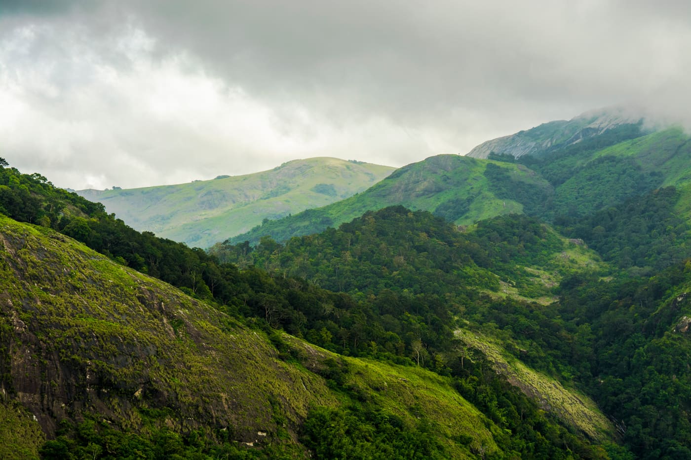
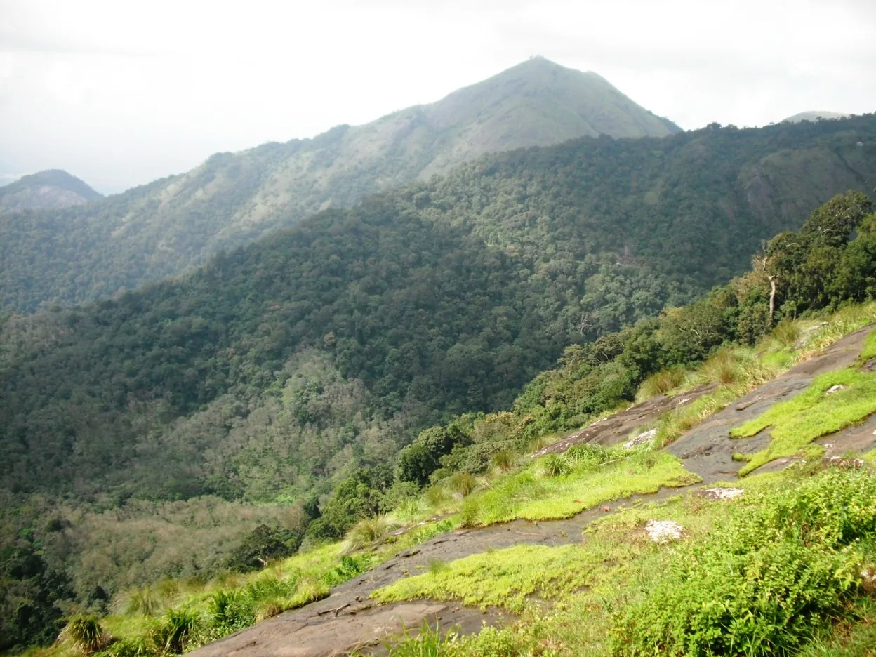
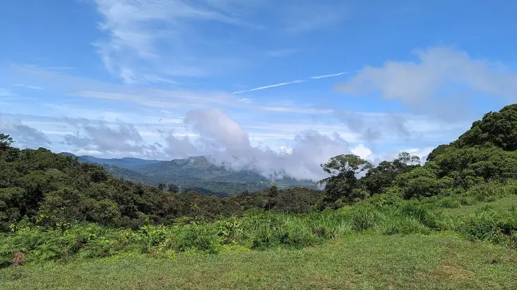
What you get for the short walk is the biggest view on the range: the plain running flat to the horizon, the Kollengode paddy country at the bottom of the drop, and a seasonal waterfall below the lip. What you also get is a car park full of extremely confident macaques and, for much of the year, cloud coming up the face at you from mid-morning. Both of those shape the visit more than anything else does.

The story

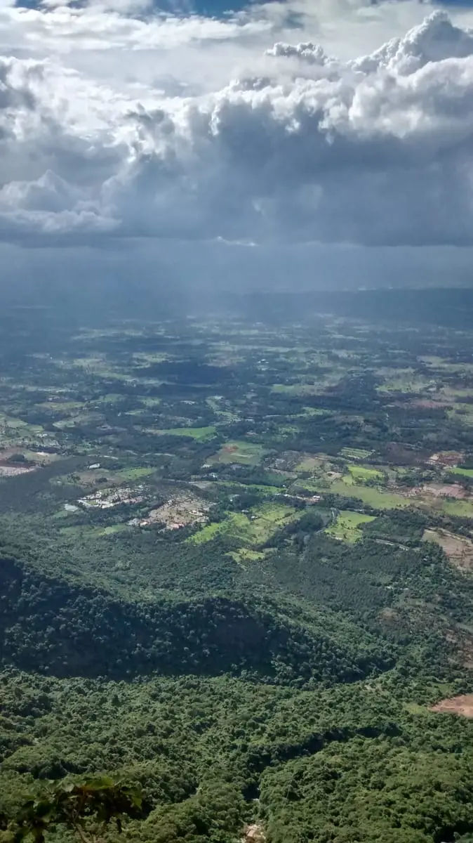
This is where the Nelliyampathy plateau stops. You drive out along a tea estate road, park, walk a few dozen metres, and the ground simply ends: a thousand metres of air, and then the Palakkad plain running flat and hazy to the horizon with the Kollengode paddy country laid out at the bottom of it. Almost everything written about Seetharkundu describes it as a trek, and from up here it is nothing of the kind — it is a place you drive to and stand at, and the honest walk to it starts on the plain below and climbs the whole escarpment.

The story of Seetharkundu viewpoint

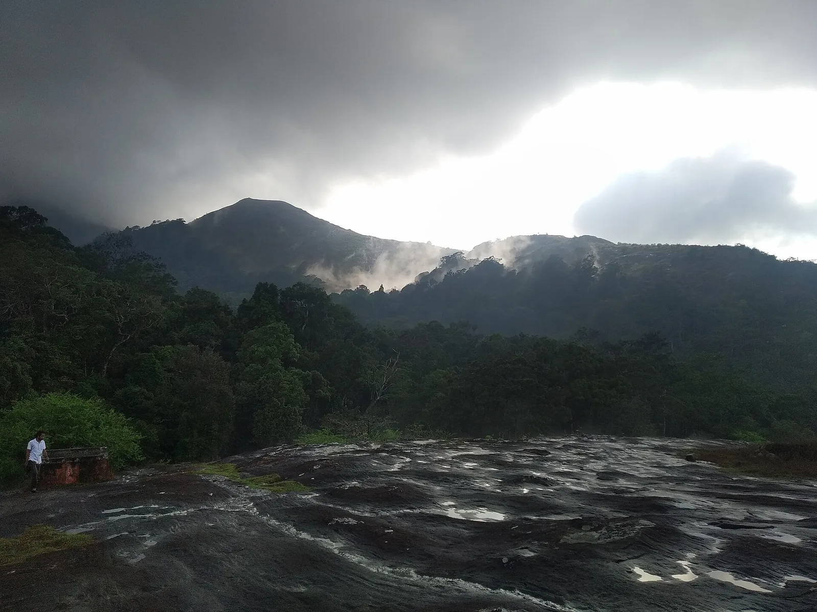
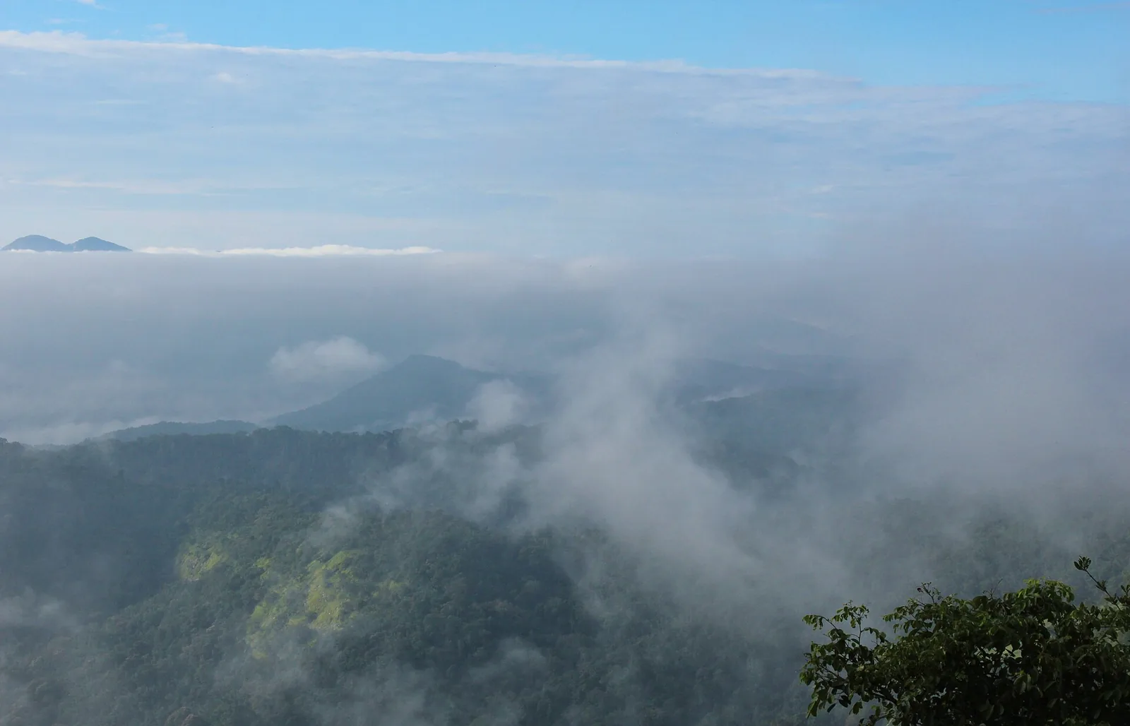
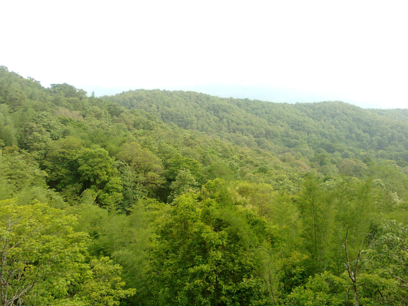
The edge itself is the attraction and it is worth understanding what you are looking at. The Nelliyampathy range is the wall between the highland plantations and the Palakkad Gap, and Seetharkundu is one of the points where that wall is sheer enough to see the entire drop at once. On a clear winter morning the plain is legible: fields, tanks, the roofs of Kollengode, the Palakkad hills across the gap. By eleven the cloud is usually coming up the face at you, and by mid-afternoon a great many visitors have stood here and seen nothing but white.

Below the lip and to one side there is a waterfall that runs hard in and after the rains and shrinks to a stain on the rock by February. It is seen from above rather than approached, which is the pattern for most water on this range.

The car park is part of the experience whether you want it to be or not. Bonnet macaques work it with complete confidence — sitting on car roofs, taking biscuits out of hands, going through an open window if you leave one. They are habituated, they are quick, and the sensible thing is to shut the vehicle and carry nothing edible in an open hand.

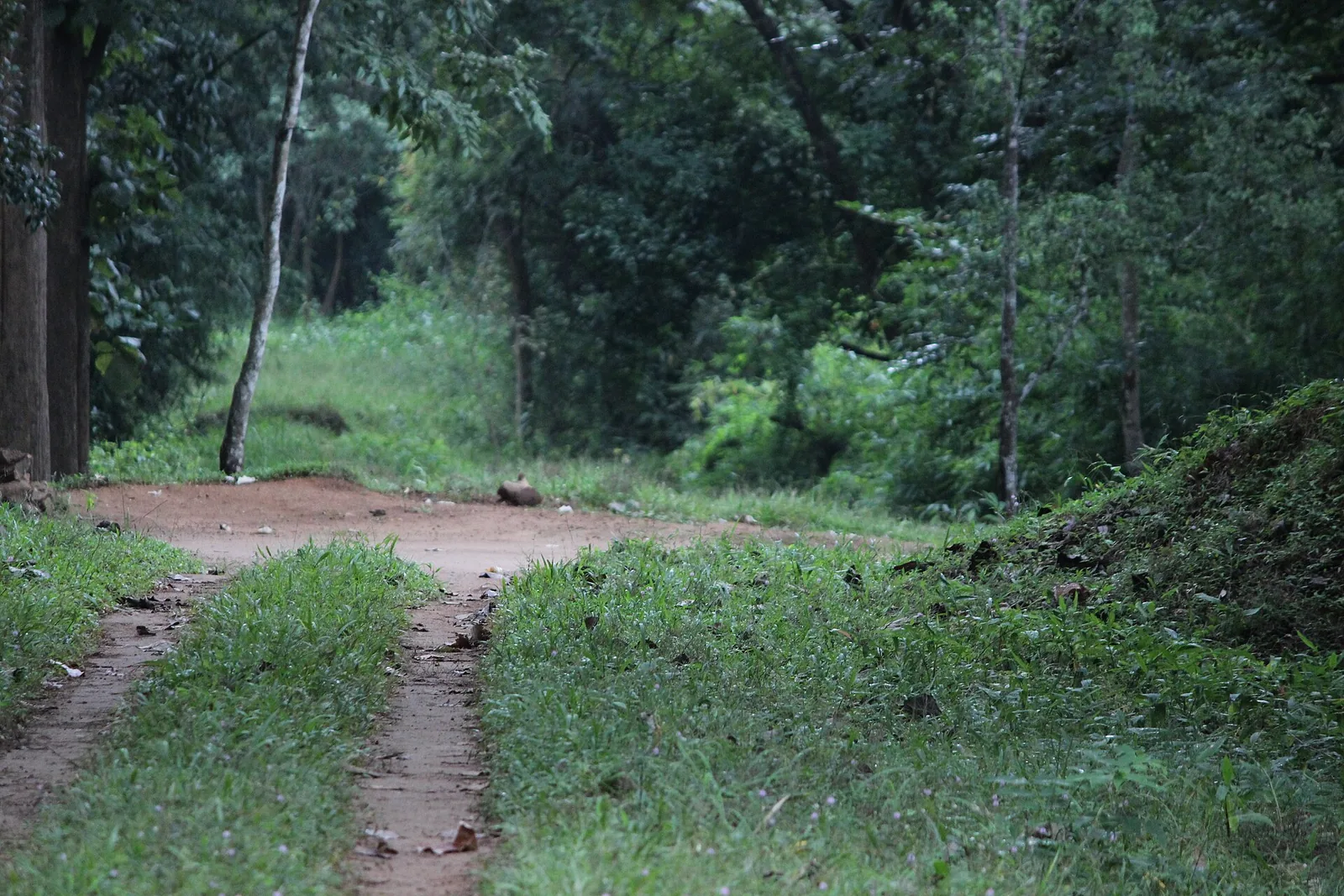
The mapped picture here is odder than the view suggests. Two viewpoints are recorded within a few hundred metres of each other, numbered one and two, and the one everybody means is the one with the car park beside it. The second is further along the escarpment and reached on foot by a narrow path through the scrub; it gives a slightly different angle down the same face and it is almost always empty.

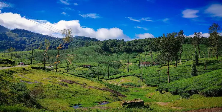
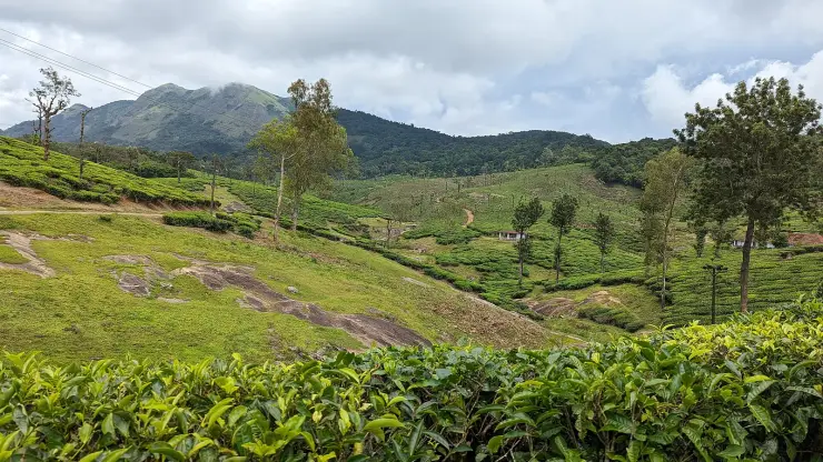
The estate immediately below takes its name from the viewpoint above it rather than the other way round. It was planted with arabica coffee, with cardamom between the rows, after the hills were leased at the end of the 1880s, went through Karuna Plantations, and passed to the Poabs group in 1988, who found it derelict, replanted it and have farmed it biodynamically since 2000. What you are looking down on from the railing is not wilderness; it is a century and a half of somebody's work.

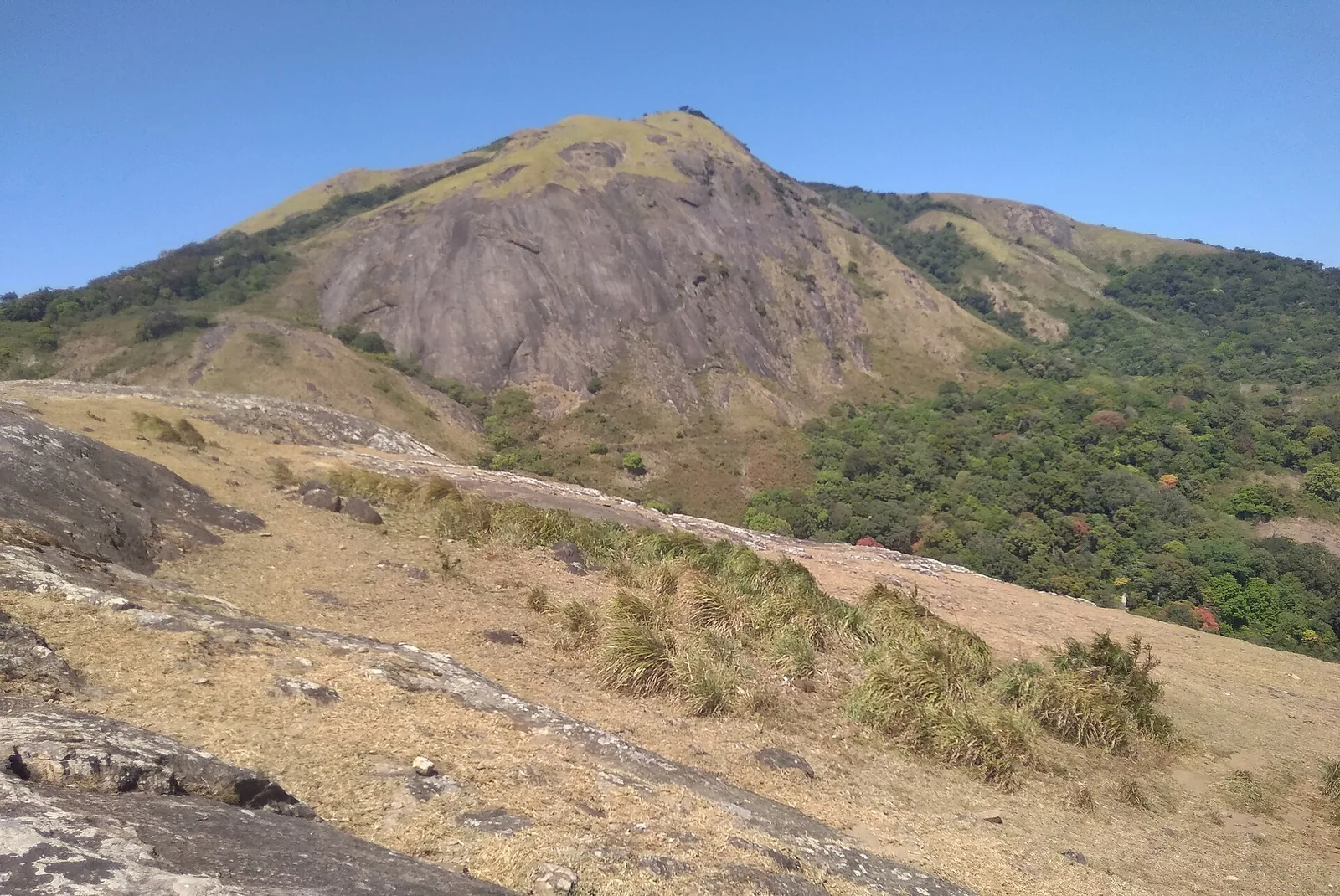
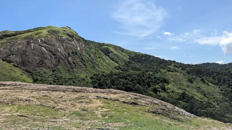
The escarpment is the reason the view exists and it is worth a moment's geology. The Palakkad Gap is the great break in the Western Ghats, some thirty kilometres of low ground where the wall of the range simply stops, and Nelliyampathy is the block of highland on its southern side. Seetharkundu stands on the northern edge of that block, looking straight out across the gap. That is why the drop is abrupt rather than gradual, why the plain below is so wide, and why the cloud behaves the way it does: warm air comes off the plain, hits the face, and rises up it, which is a view-maker in the early morning and a view-killer by eleven.

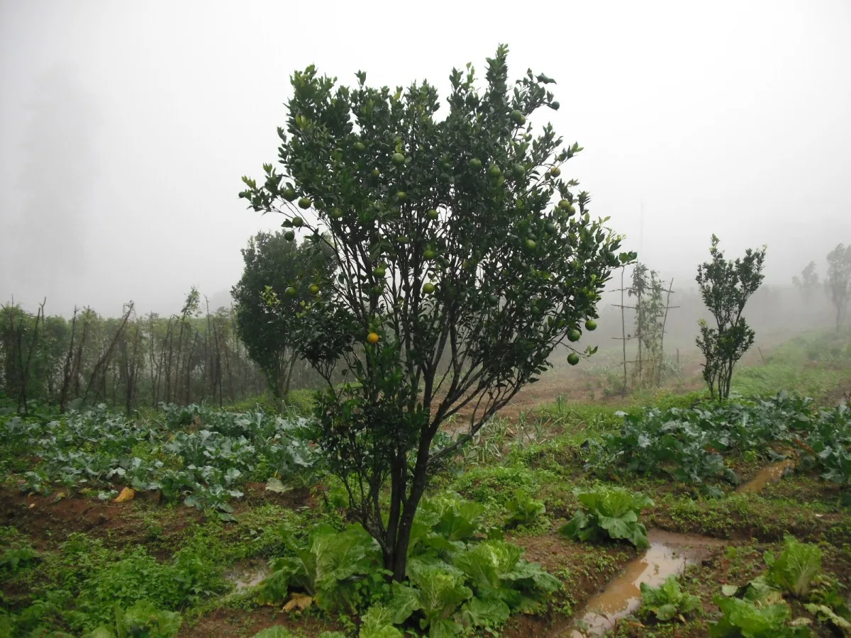
The estate directly below has a longer story than the viewpoint. Tracts of these hills were leased in 1889 to two Britons, Arthur Hall and W. R. M. McKenzie, who opened the ground for planting; the estate that took its name from the viewpoint above it was put down to arabica coffee with cardamom between the rows. It passed through several hands before the Poabs group acquired it in 1988 as their first plantation, replanting the old coffee with new varietals, adding tea, and nurturing the pepper and cardamom that were already there. It sits at around 3,500 feet and now carries arabica and robusta with pepper, orange, vanilla, cardamom and fruit grown between them.

What the estate is known for beyond Kerala is how it is farmed. Organic cultivation was brought in at the end of the 1980s and the estate is described as one of a very small number of Demeter-certified biodynamic plantations anywhere, and as the largest multi-crop organic plantation in India. Those are the estate's own claims and they are worth taking as such, but the coffee is sold under the Seethargundu name by roasters well outside India, which is unusual for a single Kerala estate and is the practical evidence behind them.

A word about the macaques, because it is not only an inconvenience. Bonnet macaques at roadside viewpoints across the Western Ghats have been fed by visitors for so long that they have stopped foraging properly; they raid vehicles, they take food aggressively, and they lose the fear that keeps wild animals alive. The traffic that makes the feeding possible also kills them. Not feeding them is the single most useful thing a visitor does here, and it is worth being firm about with anybody in your vehicle who thinks a biscuit is a kindness.

Legend & myth

The name carries a claim. Seetharkundu is traditionally held to be a place where Rama, Lakshmana and Sita rested during the years of exile, and the name is read as Sita's rock or Sita's pool. It is a legend rather than a piece of history, and it is repeated at a good many places along the Western Ghats; what makes it stick here is the shape of the ground, because a hard climb up an escarpment to a level place with water on it is exactly the sort of site a resting-place story attaches itself to.
Read the full history of Seetharkundu viewpoint 241 more words

History

Administratively this is not Nelliyampathy at all. Both mapped viewpoints fall inside the Kollengode grama panchayat, in the Nenmeny ward, rather than inside the Nelliyampathy panchayat that begins a few kilometres west. The hills belonged to the Vengunad Kovilakam of Kollengode, whose seat is down on the plain directly below the escarpment, and the modern boundary still follows that older ownership up the hill.

The climb from Kollengode to the top of this escarpment was how people reached the viewpoint before the ghat road existed, and it is still the only version of Seetharkundu that deserves to be called a trek. Kerala Tourism describes it as exhilarating; the hilltops on that side of the range run eight to fifteen kilometres from the plain, and the ascent is continuous.

Why visit

A thousand-metre drop straight off the plateau edge to the Palakkad plain, seen from a railing you can reach in a two-minute walk from a car.

The clearest and cheapest view on the whole Nelliyampathy plateau, with no ticket and no permission needed.

A seasonal waterfall below the lip, at its best in and just after the rains.

A second, quieter viewpoint a few hundred metres along the escarpment, reached on foot and usually empty.

The Seethargundu estate below, planted with arabica and cardamom after the 1889 lease and farmed biodynamically since 2000.

The climb up from Kollengode on the plain — the original approach, and the only genuine trek to this spot.

What to expect

Highlights

  • A thousand-metre drop off the plateau edge with the Palakkad plain laid out below it.
  • A seasonal waterfall under the lip, running hardest during and just after the monsoon.
  • A second mapped viewpoint a few hundred metres along the escarpment, reached on foot and nearly always empty.
  • The Seethargundu estate directly below — arabica coffee and cardamom planted after the 1889 lease, biodynamic since 2000.
  • Bonnet macaques working the car park, which is either part of the fun or the reason to keep the windows shut.
  • The climb up from Kollengode, the original approach and the only version of this that is a trek.
Getting there

How to visit

  • Go early. Cloud builds against this face through the morning and the difference between eight and noon is often the difference between the whole plain and a white wall.
  • Drive out from the Nelliyampathy settlement — 5.0 km, about seven minutes, by estate road. Nothing runs out here, so it is a vehicle or a taxi from the settlement.
  • Park in the surface car park, close the vehicle properly and put food out of sight before you walk to the edge.
  • Walk the escarpment path to the second viewpoint if you want the same drop without anybody else in it.
  • Allow an hour, or two if you are waiting for cloud to clear, and bring water — there is nothing here to buy.

Distance by road

  • Coimbatore54 km
  • Kozhikode127 km
  • Kochi143 km
  • Madurai224 km
  • Mysuru251 km

Road km to Palakkad; ghat roads and traffic vary — allow extra.

Timing

Best time

November to May, and the earlier in the day the better. December to February gives the clearest air and the most reliable long views. During the southwest monsoon the waterfall is at its best and the view is usually inside a cloud, which is a fair trade only if you know that is what you are getting.

Weather in Seetharkundu viewpointSeasonal guide

Live forecast loads in your browser.

Today at Seetharkundu viewpoint
Sunrise6:13 am
Sunset6:22 pm
Golden hour best light5:22 pm–6:22 pm
Blue hour after sunset6:22 pm–6:47 pm
Sun sets toward compass bearingW · 272°
Moon tonight🌓 First quarter · 52%
South-west monsoon. June to September brings heavy rain to Kerala. Trails, falls and ghat roads can be slippery, swollen or closed at short notice, and forest departments sometimes suspend access. Check locally on the day before you travel.

Check the official alert before you travel. Kerala’s beaches, waterfalls and trekking routes close at short notice during heavy rain, and district alert levels change day to day. We do not publish an alert level of our own — read it from the state authority: Kerala State Disaster Management Authority, or the district control room on 1077.

Sun and moon are calculated for this location and shown in IST. Photography windows are the hour around sunrise and sunset; the sunset bearing is degrees clockwise from true north. Moon phase is accurate to about half a day.

Visitor notes

  • It is not a trek from the plateau. Two minutes on foot from the car separates you from the edge.
  • Two viewpoints are mapped here a few hundred metres apart. The one the road and the car park serve is the one people mean; the other is reached by a narrow footpath.
  • It sits inside the Kollengode grama panchayat rather than the Nelliyampathy one, which is a piece of older ownership showing through a modern boundary.
  • Published distances of eight kilometres are measured from Kaikatty, where it really is 7.1 km. From the settlement it is 5.0.
  • There is no shop, no toilet and no dependable phone signal.
Safety

Good to know

  • The edge is unfenced in places and the rock is slippery when wet. Keep children within reach.
  • Do not feed the macaques and do not hold food in an open hand. They are habituated, fast, and will go through an open car window.
  • The estate road out here is narrow and blind in places, and it is used by estate vehicles.
Official eco & forest programmes

Experiences around Seetharkundu viewpoint

These are official or public-sector eco offerings that match this place, town or forest destination. Confirm availability, permits, tariffs and reporting times with the official operator before travel.

Nelliyampathy, Seetharkundu viewpoint
trekviewpointwildlife

Nelliyampathy hills eco visit

Hill, plantation and forest viewpoint landscape above Palakkad, included in Kerala Tourism’s ecotourism inventory.

Kerala Forest Department / local tourism authorities
Official source →
Stay · eat · do · rent · see · shop

Stays, food & things to do near Seetharkundu viewpoint

Verified hotels, homestays, restaurants, experiences, sights, shops and rentals around Seetharkundu viewpoint — commission-free, with direct contact. Filter by what you need.

Nelliyampathy Resorts Restaurant Kaikatti — Resort restaurant in Nelliyampathy
Verified
Resort restaurant · Nelliyampathy
Nelliyampathy Resorts Restaurant Kaikatti

The restaurant at Nelliyampathy Resorts on Kaikatti Road, and one of very few places to eat on the plateau. It serves the resort's own cottages first, so telephone before making the drive up for a meal.

Directions Commission-freeView details
VANYA by Citrine Nelliyampathy — Resort in Nelliyampathy
Verified
Resort · Nelliyampathy
VANYA by Citrine Nelliyampathy
4.4 km · ~11 min by auto

VANYA by Citrine resort at Ranimedu Estate, Pulayanpara, Nelliyampathy. Nelliyampathy, Nelliyampathy resort support, stay.

Directions Commission-freeView details
Hill Valley Farm House Nelliyampathy — Farm stay in Nelliyampathy
Verified
Farm stay · Nelliyampathy
Hill Valley Farm House Nelliyampathy
3.3 km · ~8 min by auto

Hill Valley Farm House is a Nelliyampathy farm-house stay in Ravivarma Estate, useful for quieter hill stays and nature-led Palakkad itineraries. Farm stay, Nelliyampathy, Ravivarma Estate.

Directions Commission-freeView details
Nelliyampathy Resorts Kaikatti — Resort in Nelliyampathy
Verified
Resort · Nelliyampathy
Nelliyampathy Resorts Kaikatti

Resort in Nelliyampathy. Nelliyampathy Resorts, Ravivarma Estate, Kaikatti Road, Nelliampathi, Palakkad, Kerala 678508 · Rs 4000-8000 listed on source · Nelliyampathy stay, Kaikatti Road, Ravivarma Estate.

Directions Commission-freeView details
N
Nelliyampathy Resorts
Place to stay
Top pick
Hotel · Nelliyampathy
Nelliyampathy Resorts

Forest-cottage resort in the Nelliyampathy hills off Kaikatti Road. Its cottages lie inside the forest, reached by four-wheel-drive vehicles.

Directions Commission-freeView details
C
Coffee Valley Resort
Place to stay
Top pick
Hotel · Nelliyampathy
Coffee Valley Resort
3.4 km · ~9 min by auto

Cottages nestled amid hills and a coffee estate in Nelliyampathy. It sits about 100 m from Seetharkundu viewpoint, famed for sweeping valley views.

Directions Commission-freeView details
H
Hill Valley Farm House
Place to stay
Top pick
Hotel · Nelliyampathy
Hill Valley Farm House
3.3 km · ~8 min by auto

A family-run farmhouse stay in the Sahyadri range at Nelliyampathy. Family cottages and a budget dormitory sit amid coffee-valley plantations with mountain views.

Directions Commission-freeView details
K
Kailas Estate Trails
Place to stay
Top pick
Hotel · Nelliyampathy
Kailas Estate Trails
4.3 km · ~11 min by auto

A boutique estate stay with ten rooms across bungalows, 4 km from Nelliyampathy town. Guests join coffee-plantation walks and birdwatching in the Western Ghats.

Directions Commission-freeView details
K
KFDC Ecotourism Nelliyampathy
Place to stay
Top pick
Hotel · Nelliyampathy
KFDC Ecotourism Nelliyampathy

The Kerala Forest Development Corporation's own forest lodge and tent stay in the Nelliyampathy hills, and the only packaged trekking here. Day and stay programmes; booked through the corporation, not at a counter on the hill.

Commission-freeView details
M
Merryland Resort Nelliyampathy
Place to stay
Verified
Direct resort contact · Nelliyampathy
Merryland Resort Nelliyampathy
7.4 km · ~19 min by auto

Merryland Resort Nelliyampathy local contact record for hill-station overnight stays. Nelliyampathy, Direct resort contact, stay.

Directions Commission-freeView details

Book with the place itself. India’s cyber-crime coordination centre warned in April 2025 that convincing copies of hotel and pilgrimage booking sites are being pushed through sponsored search and social ads, taking payment for rooms the property never hears about. Every listing here links to the business’s own contact details and its own Google or Bing profile — we take no commission and sit in nobody’s payment path. If a booking page reached you through an ad, check the address bar against the property’s own site before you pay. Fraud can be reported on cybercrime.gov.in or on 1930.

Ranked

More ways to explore Nelliyampathy

Find food, accommodation and activities across Nelliyampathy. Browse the guides for places to eat, stay and explore along your route.

Across the whole of Nelliyampathy

Ranked guides

Top experiences around Nelliyampathy

6 more places around Nelliyampathy. Open a guide to plan the visit and onward journey.

hill stationNelliyampathy

4.5 km · ~11 min by auto

Tea and orange-garden hill station reached through forested ghat roads.

trekNelliyampathy trek

3.3 km · ~8 min by auto

Walking routes off the Nelliyampathy plantation plateau: an evergreen-forest footpath to the bare granite of Kesavan Para, longer forest-division routes to Hill Top, Karassuri and over the ridge to Parambikulam, and a four-wheel-drive climb to Manpara and the ruined Victoria Church.

activityGovernment Orange and Vegetable Farm

3.3 km · ~8 min by auto

A state farm at Kaikatty growing mandarin oranges, winter vegetables and a fruit forest of fifty varieties on the Nelliyampathy plateau — the Kingdom of Cochin's Poliya estate, a farm since 1943 and an orange and vegetable farm since 1956, with a passion-fruit processing unit and a published ticket.

viewpointKesavan Para

6.3 km · ~16 min by auto

A bare rock shoulder with a long view, about four and a half kilometres by road from the Nelliyampathy settlement and two from Kaikatty, reached by a short path through wet evergreen forest. It is said locally to be where Mrigaya was shot in 1989 with Mammootty, though the claim is repeated more often than it is evidenced. Para means rock, and the walk in is half the pleasure of it.

viewpointKaradipara

5.8 km · ~14 min by auto

A rock shoulder on the Kaikatty-Nooradi road looking across an unbroken fold of evergreen forest to a conical peak — the nearest thing on the plateau to a viewpoint you can have to yourself.

viewpointRanimedu

4.3 km · ~11 min by auto

A working plantation on the southern shoulder of the Nelliyampathy plateau with a grass-and-rock top point above it, named by Kerala Tourism as a trekking destination and reached by estate track rather than by road.

Roampedia is commission-free — own or know a stay, eatery, guide or shop near Seetharkundu viewpoint? List it and it appears here once verified.

Add a nearby business
Before you go

Seetharkundu viewpoint — at a glance

TimingsThere is no gate and no published opening time, but the useful hours are the early ones. Cloud builds against the escarpment through the day for most of the year, and the difference between eight in the morning and two in the afternoon is often the difference between the whole Palakkad plain and a white wall.

Entry: No charge is published for the viewpoint itself.

Photography: The picture is the drop itself, and it needs the foreground rock or the railing in it to give the scale — without something near the lens a thousand metres of air photographs as haze. Early light and the cloud actually rising up the face are the two conditions worth waiting for. The macaques on the car roofs are the other frame everybody comes back with.

Parking: There is a surface car park close to the viewpoint with room for about thirty vehicles, which is what makes this the one the road serves. It fills on winter weekends and at holidays.

Getting here

How to reach Seetharkundu viewpoint

  • ✈︎ By air Cochin International Airport is about 120 km by road, with Coimbatore the other realistic option.
  • 🚆︎ By train Palakkad Junction is the practical railhead; Kerala Tourism gives Thrissur at 77 km and Shoranur Junction at 80 km from Nelliyampathy.
  • 🚗︎ By road 5.0 km from the Nelliyampathy settlement, about seven minutes, and 7.1 km from the Kaikatty junction. The approach is by estate road off the main plateau road. Reaching the plateau at all means the ghat from Nenmara past Pothundy dam — 25.4 km and a little over half an hour from the dam to the viewpoint, on a road that turns back on itself the whole way.
  • 🚌︎ By bus Buses reach Nelliyampathy from Nenmara and Kollengode, but nothing runs out to the viewpoint. The last five kilometres need a vehicle, a taxi from the settlement or a long walk on an estate road.
Getting back

If you are travelling by bus or ferry, check the return service with the operator before setting out. Leave time to reach the stop or jetty after your visit.

Ask at the bus stand for the time of the last service back, not the next one. If you miss it, an auto or app cab is the fallback — agree the fare before you get in.

Do

Things to do

  • Stand at the edge on a clear winter morning and pick out Kollengode and the paddy country a thousand metres below.
  • Walk the path along the escarpment to the second viewpoint, which almost nobody does.
  • Look for the seasonal waterfall below the lip during and after the rains.
  • Look down on the Seethargundu estate and its coffee and cardamom, and understand that the view is a worked landscape.
  • Come up the hard way once, from Kollengode on the plain, if you want the version of this place that is actually a trek.
Plan

Good to know

  • Go early. This is the single piece of advice that decides whether the trip was worth making.
  • Shut your vehicle and keep food out of sight. The macaques here are quick and entirely unafraid.
  • There are no facilities — no shop, no toilet, no reliable phone signal. Carry water up from the settlement.
  • The rock at the edge is unfenced in places and slippery when wet. Keep children within reach.
  • In the monsoon, treat any view as a bonus and plan the day around something else.
Getting around Seetharkundu viewpoint

If you need step-free access, contact the site before travelling. Ask about a level entrance, steps along the route, the nearest drop-off point, seating and accessible toilets.

If you need help at Seetharkundu viewpoint
112All emergencies (police · fire · medical)The single number to call in any emergency (ERSS).

Emergency numbers are verified against official government and state tourism sources. 112 works anywhere in India.

Nearby

What’s near Seetharkundu viewpoint

trekNelliyampathy trek

Walking routes off the Nelliyampathy plantation plateau: an evergreen-forest footpath to the bare granite of Kesavan Para, longer forest-division routes to Hill Top, Karassuri and over the ridge to Parambikulam, and a four-wheel-drive climb to Manpara and the ruined Victoria Church.

3.3 km · ~8 min by auto · straight line
activityGovernment Orange and Vegetable Farm

A state farm at Kaikatty growing mandarin oranges, winter vegetables and a fruit forest of fifty varieties on the Nelliyampathy plateau — the Kingdom of Cochin's Poliya estate, a farm since 1943 and an orange and vegetable farm since 1956, with a passion-fruit processing unit and a published ticket.

3.3 km · ~8 min by auto · straight line
viewpointRanimedu

A working plantation on the southern shoulder of the Nelliyampathy plateau with a grass-and-rock top point above it, named by Kerala Tourism as a trekking destination and reached by estate track rather than by road.

4.3 km · ~11 min by auto · straight line
hill stationNelliyampathy

Tea and orange-garden hill station reached through forested ghat roads.

4.5 km · ~11 min by auto · straight line
viewpointKaradipara

A rock shoulder on the Kaikatty-Nooradi road looking across an unbroken fold of evergreen forest to a conical peak — the nearest thing on the plateau to a viewpoint you can have to yourself.

5.8 km · ~14 min by auto · straight line
viewpointKesavan Para

A great sheet of bare granite tilted out over the valley at the end of a red-earth path through wet evergreen forest — the one walk on the Nelliyampathy plateau that anyone reasonably fit can do without the Forest Division's permission.

6.3 km · ~16 min by auto · straight line
heritageKollengode

A rural village ~19 km south of Palakkad below the Nelliampathy hills, known for its palace, the Vishnu temple, paddy landscapes and old Tamil-Brahmin heritage.

6.6 km · ~16 min by auto · straight line
damPothundi Dam

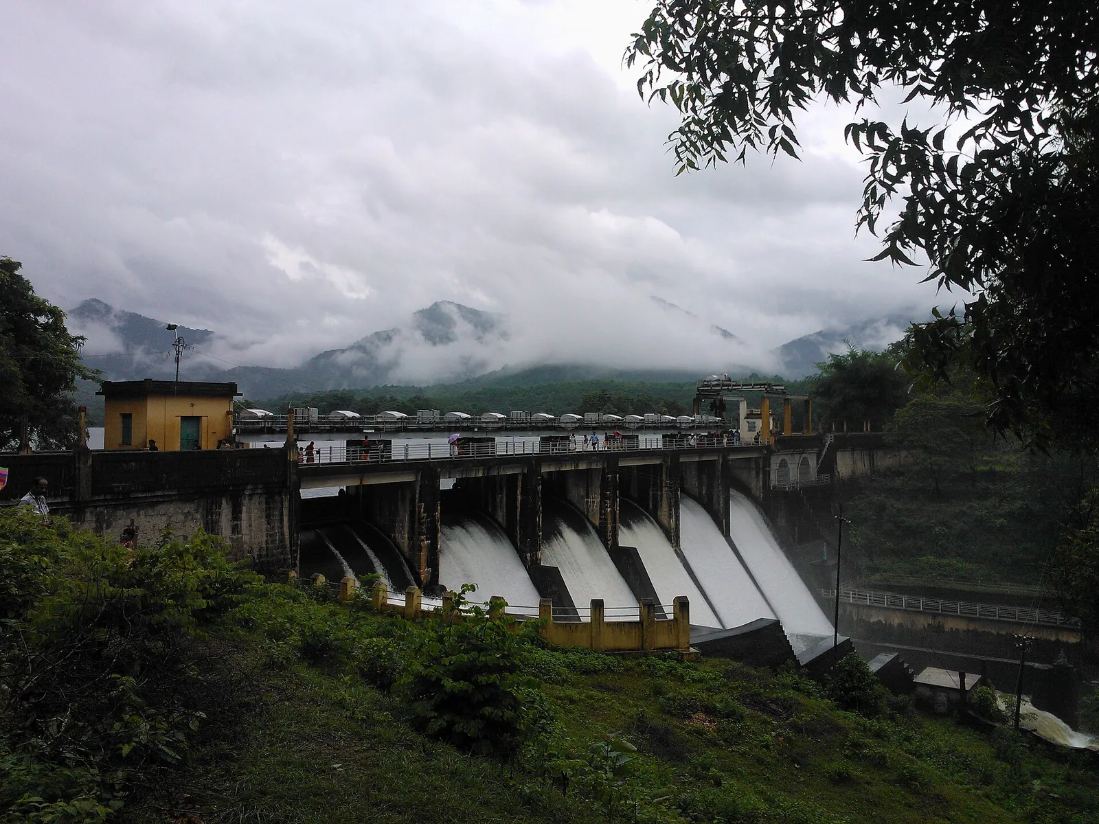
A 19th-century irrigation dam near Nemmara — one of the oldest in India, its core wall built with a jaggery-and-lime mix — with a scenic reservoir, gardens and boating.

8.8 km · ~15 min by cab · straight line
trekParambikulam trek

Four separate Forest Department trails from the Anappady information centre and other named starts: the 4 km Bear Path and Elephant Song walks, the 6 km Kariyanshola route with bamboo rafting, and the longer 10 km Pugmark trail from Peruvaripallam.

12.0 km · ~20 min by cab · straight line
wildlifeParambikulam Tiger Reserve

Major protected area accessed via the Anamalai side; permits and entry rules apply.

19.2 km · ~32 min by cab · straight line
damMangalam Dam

A quiet reservoir among wooded hills near Alathur, south-west of Palakkad town — good for a peaceful drive and picnic.

20.7 km · ~35 min by cab · straight line
heritagePalakkad Fort

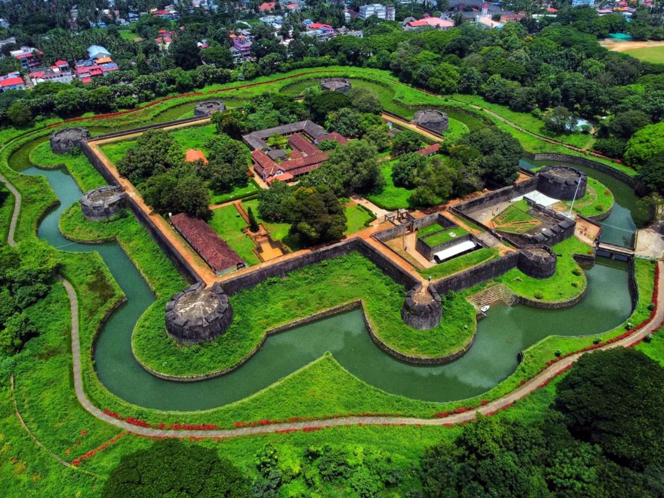
Well-preserved fort in Palakkad town, associated with Hyder Ali and Tipu Sultan.

24.3 km · ~40 min by cab · straight line

All 3 places to visit in Nelliyampathy →

On the map

Where Seetharkundu viewpoint is

Good to know

Seetharkundu viewpoint — frequently asked

Is Seetharkundu a trek?

Not from the plateau. It is 5.0 km by road from the Nelliyampathy settlement and 7.1 km from Kaikatty, and the walk from the car park to the railing takes a couple of minutes. The trek is the other approach — the steep climb from Kollengode on the plain, which is how the viewpoint was reached before the ghat road.

How far is it from Nelliyampathy?

5.0 km from the settlement, which is about seven minutes by road. Published figures of eight kilometres are measured from Kaikatty, where the real distance is 7.1 km, so both numbers are describing a real journey from a different starting point.

When should I go?

Early, and between November and May. The view is open on winter mornings and cloud comes up the face through the middle of the day for much of the year. An afternoon visit in the monsoon is very likely to show you nothing at all.

Is there a waterfall?

There is, below the lip and to one side, and it is seasonal. It runs during and after the southwest monsoon and thins out through the dry months. It is looked at from above rather than walked to.

What about the monkeys?

Bonnet macaques work the car park and they are thoroughly habituated. They will sit on a car roof, take food from a hand and go through an open window. Close the vehicle, keep food out of sight and do not feed them — the last of those is what created the problem.

Why are there two viewpoints?

Two are recorded on the escarpment a few hundred metres apart. The one everybody means is the one the road and the car park serve; the second is further along, reached by a narrow path on foot, and gives a slightly different angle over the same drop with almost nobody on it.

Is Seetharkundu in Nelliyampathy?

It is normally visited from Nelliyampathy and reached by the Nelliyampathy road, but it sits inside the Kollengode grama panchayat rather than the Nelliyampathy one. The hills belonged to the Kollengode royal house, and the boundary still follows that.

Is there an entry fee?

No charge is published for standing at the viewpoint. There is nothing in the way of facilities either, so carry water and expect no shop.

What does the name mean?

It is read as Sita's rock or Sita's pool, from the tradition that Rama, Lakshmana and Sita rested here during the exile. It is a legend, not a documented event.

What is the Palakkad Gap and can I see it from here?

It is the thirty-kilometre break in the Western Ghats where the wall of the range stops, and yes — this viewpoint looks straight out across it. It is the reason the drop is so abrupt and the plain below so wide, and it is also why the wind and the cloud behave as they do on this face.

Whose estate is below the viewpoint?

The Seethargundu estate, which takes its name from the viewpoint rather than the other way round. It was first planted after the 1889 lease and has been in the Poabs group's hands since 1988, growing arabica and robusta with pepper, cardamom, vanilla, orange and fruit between the rows at around 3,500 feet.

Can I visit the estate?

It is private working property, and estate roads are not public paths. Anything beyond looking at it from the viewpoint is a matter for the estate office rather than for the Forest Division.

Why do people say the coffee here is unusual?

The estate has been farmed organically since the end of the 1980s and is described as biodynamic and Demeter-certified. Its coffee is sold under the Seethargundu name by roasters outside India, which is rare for a single Kerala estate.

Is there anywhere to eat at the viewpoint?

No. There is nothing at all — no shop, no stall, no toilet. Carry water and food up from the settlement, and take your rubbish back down with you rather than leaving it for the macaques.

When is the best time to visit Seetharkundu viewpoint?

November to May, and the earlier in the day the better. December to February gives the clearest air and the most reliable long views. During the southwest monsoon the waterfall is at its best and the view is usually inside a cloud, which is a fair trade only if you know that is what you are getting.

What are the entry fee and timings at Seetharkundu viewpoint?

Entry: No charge is published for the viewpoint itself. Timings: There is no gate and no published opening time, but the useful hours are the early ones. Cloud builds against the escarpment through the day for most of the year, and the difference between eight in the morning and two in the afternoon is often the difference between the whole Palakkad plain and a white wall.

How do I reach Seetharkundu viewpoint?

Go early. Cloud builds against this face through the morning and the difference between eight and noon is often the difference between the whole plain and a white wall. Drive out from the Nelliyampathy settlement — 5.0 km, about seven minutes, by estate road. Nothing runs out here, so it is a vehicle or a taxi from the settlement. Park in the surface car park, close the vehicle properly and put food out of sight before you walk to the edge. Walk the escarpment path to the second viewpoint if you want the same drop without anybody else in it. Allow an hour, or two if you are waiting for cloud to clear, and bring water — there is nothing here to buy.

How much time do I need for Seetharkundu viewpoint?

Twenty minutes for the viewpoint itself. An hour if you walk out to the second point, and longer if you are prepared to sit and wait for the cloud to lift.

What else is near Seetharkundu viewpoint?

Nearby you can pair Nelliyampathy trek (3.3 km), Government Orange and Vegetable Farm (3.3 km), Ranimedu (4.3 km), Nelliyampathy (4.5 km).

What should I know before visiting Seetharkundu viewpoint?

The edge is unfenced in places and the rock is slippery when wet. Keep children within reach. Do not feed the macaques and do not hold food in an open hand. They are habituated, fast, and will go through an open car window. The estate road out here is narrow and blind in places, and it is used by estate vehicles.

Read before you go

Seetharkundu viewpoint guides, stories & itineraries

Stories & history of Seetharkundu viewpoint

Written about Seetharkundu viewpoint itself — its history, its legends and the arguments about them.

Around Nelliyampathy

These guides explore Nelliyampathy and the surrounding area. Choose a visit that fits your interests, allowing separately for travel between stops.

Kerala-wide guides & itineraries

Route-level itineraries and practical guides for the rest of Kerala.

See all 33 Palakkad guides & stories →

Image credits

Photographs: Muzirian (CC BY-SA 4.0), Jaseem Hamza (CC BY 3.0), Noon Plastic (CC BY 4.0), ebin aliyas (CC BY 3.0), Shagil Kannur (CC BY-SA 4.0). Wikimedia Commons.