Ranimedu

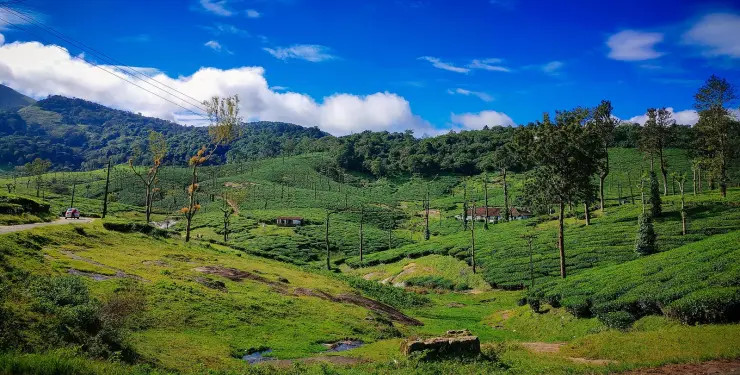
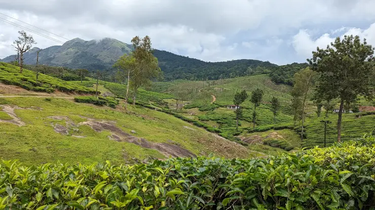
A working plantation on the southern shoulder of the Nelliyampathy plateau with an open grass-and-rock top above it, named by Kerala Tourism among the trekking places on these hills. It is about three and a half kilometres from the Nelliyampathy settlement but the last of that is estate track rather than public road, so it takes longer than the distance suggests and most people finish on foot or on a bicycle.

Ranimedu, Nelliyampathy
Practical guide

Plan Ranimedu

Who's going?Tailor Ranimedu to your trip
Typeviewpoint
Nearest baseNelliyampathy
DistrictPalakkad
Best timeNovember to May, at dawn
Time neededA morning
Places to visit3Listed businesses10

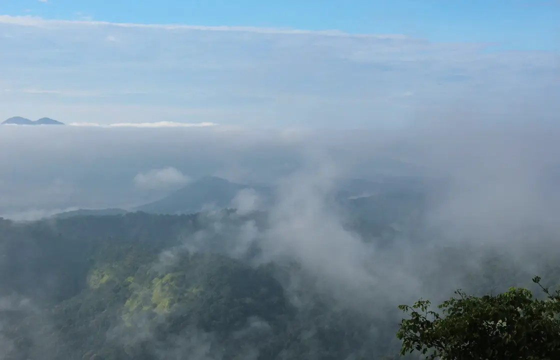
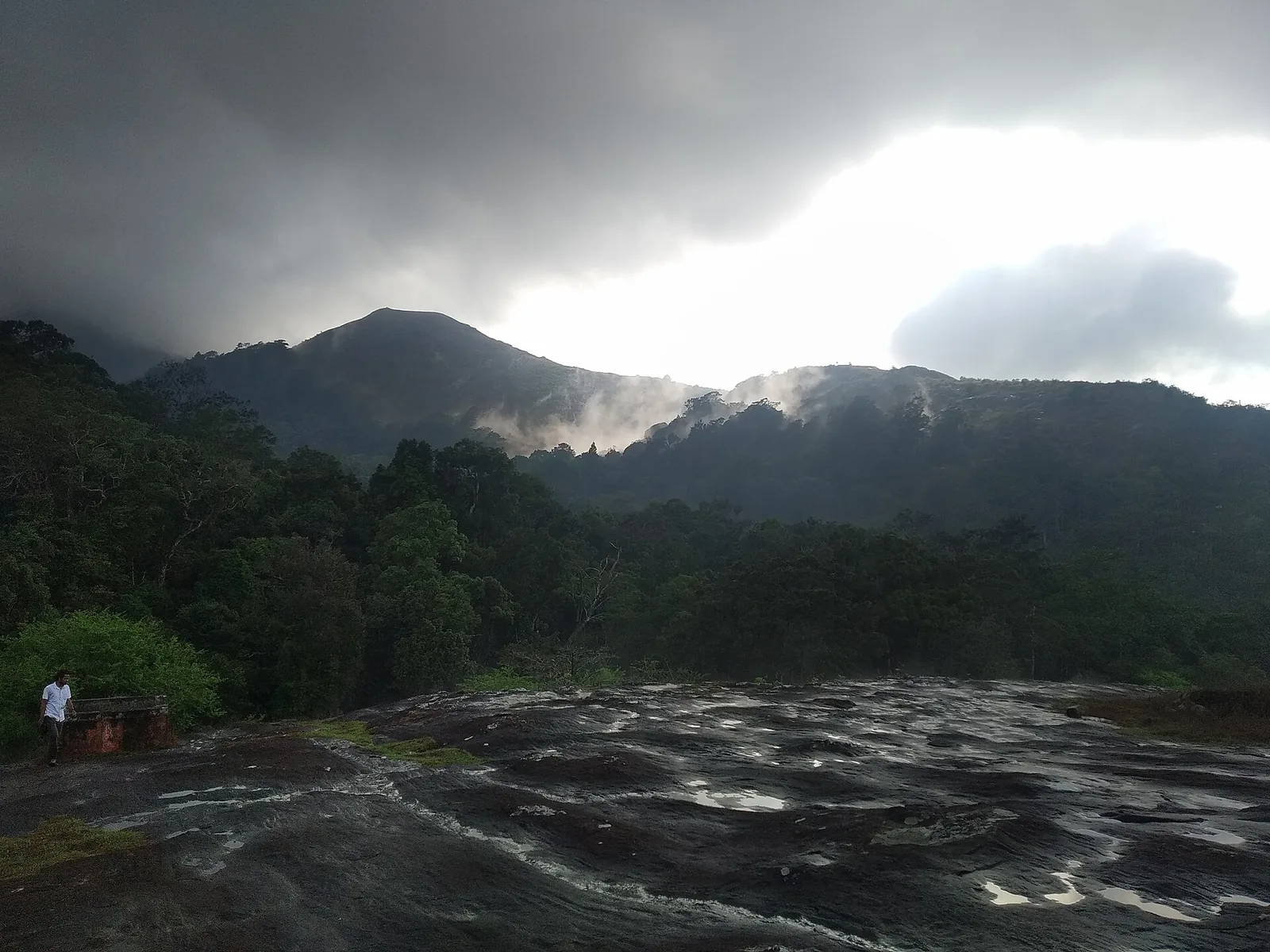
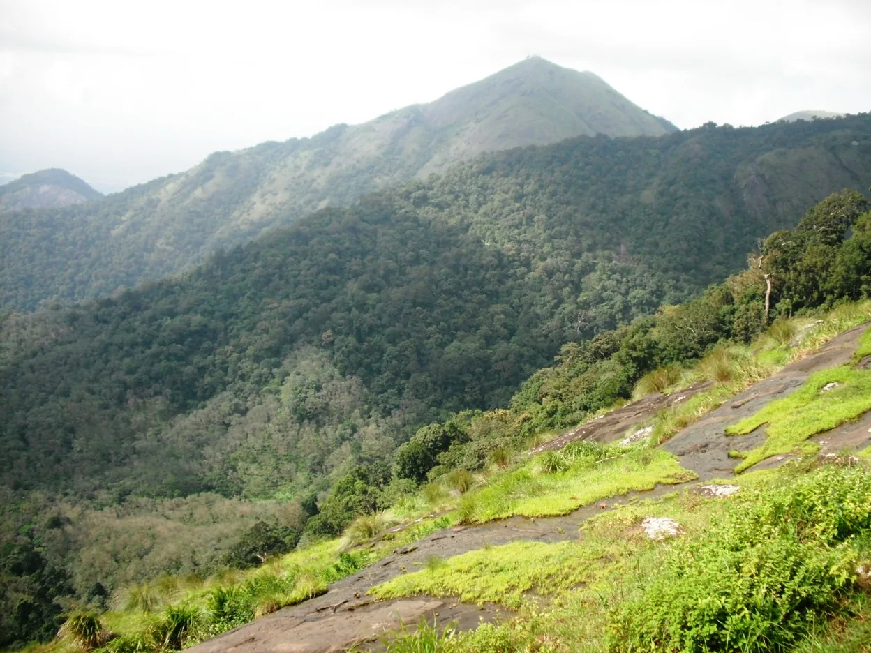
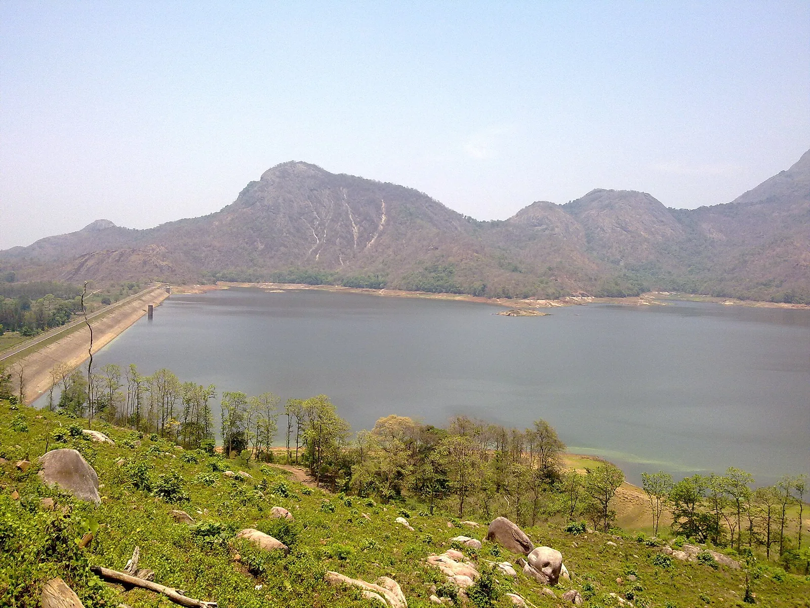
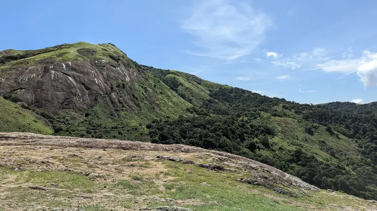
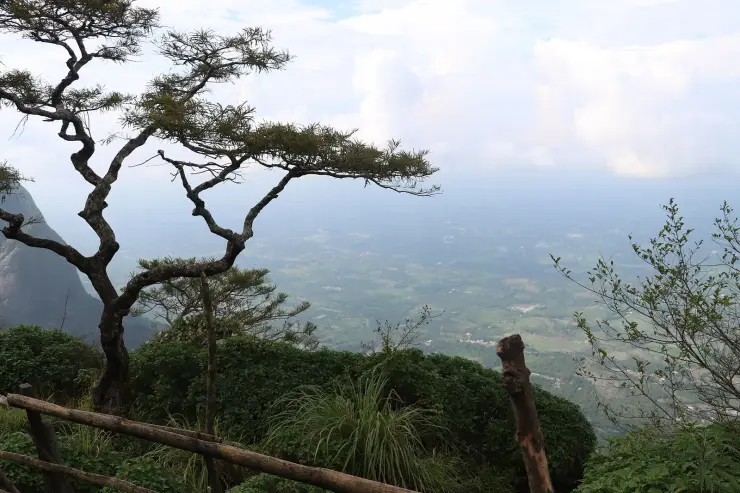
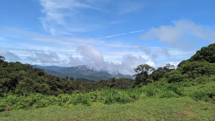
The top is not a viewpoint in the built sense — there is no railing, no car park and no sign. It is a rock shelf in grass that comes up past the waist, with shola trees holding the ridge line behind it. What it looks out on is the opposite of Seetharkundu: not the plain, but ridge after forested ridge with cloud lying in the folds between them, and on a clear early morning a far peak standing above a flat layer of cloud. It is an early-morning place and it is worth staying on the estate to make that possible.

The story

Ranimedu is a working plantation on the southern shoulder of the Nelliyampathy plateau with a bare grass-and-rock top above it, and it is named by Kerala Tourism as a place to trek. What is up there is not a viewpoint in the built sense — no railing, no car park, no sign — but a rock shelf in tall grass with shola trees along the ridge behind and, on a good morning, a valley full of cloud below with the far peaks standing out of it like islands.

The story of Ranimedu

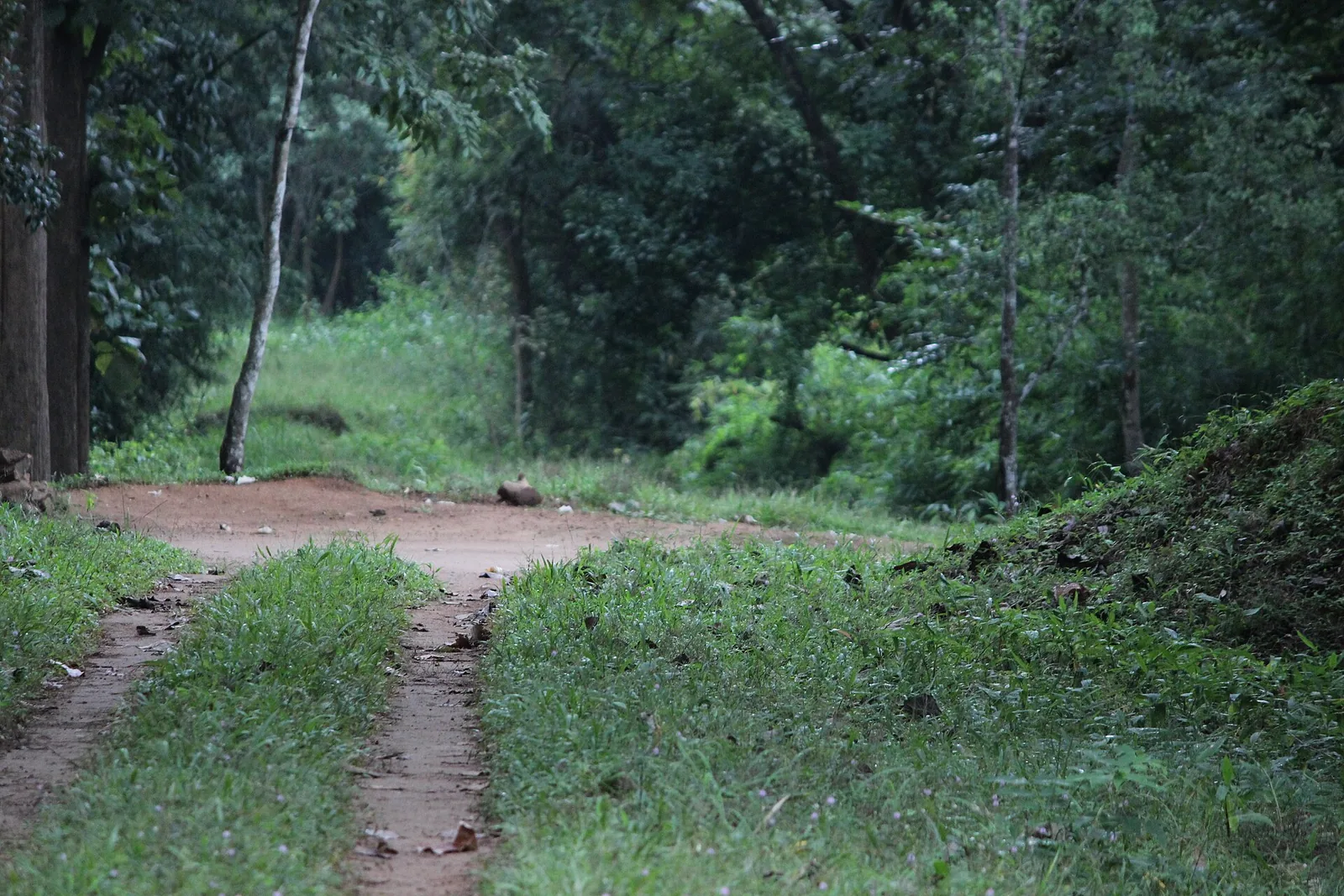
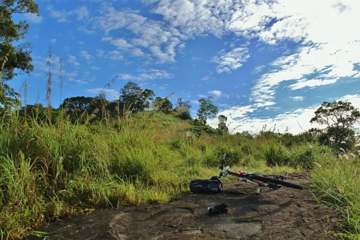
The top is reached by estate track rather than by road, and the way people generally get up is on foot or on a bicycle: one of the few photographs taken there shows a mountain bike laid down on the rock with a helmet and gloves beside it, which is a fair description of the effort involved. It is about three and a half kilometres from the Nelliyampathy settlement but eight or nine minutes of it rather than four, because of what the surface is.

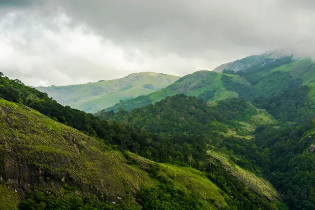
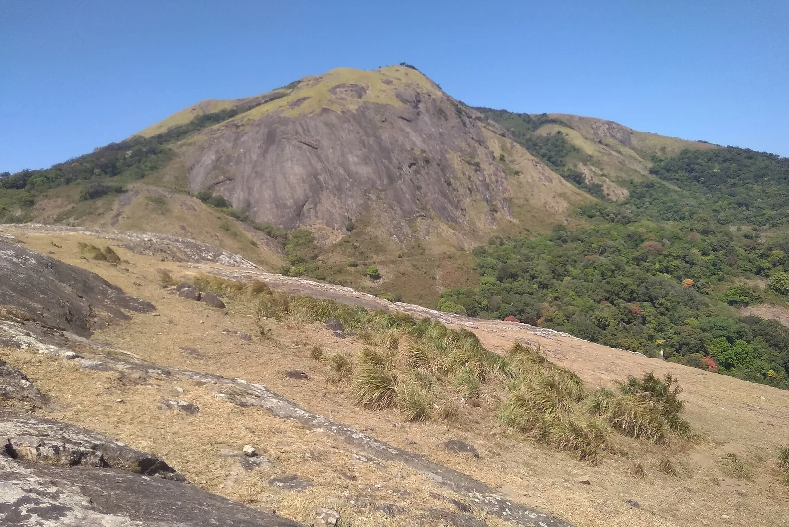
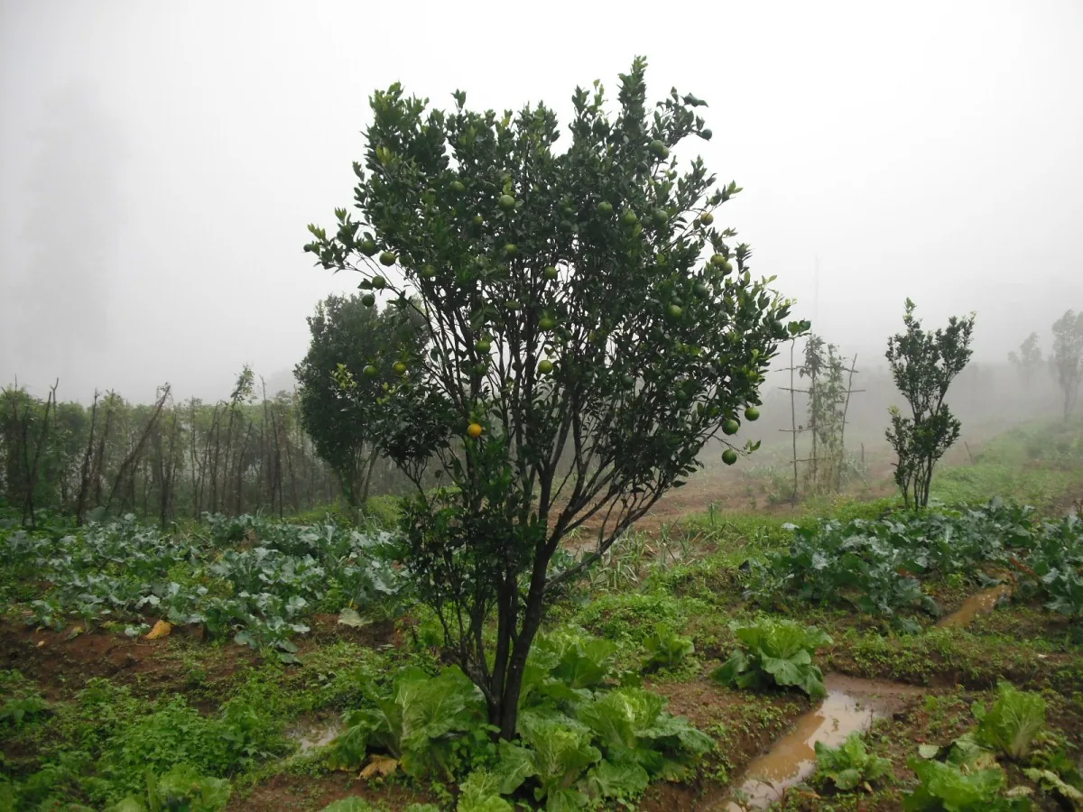
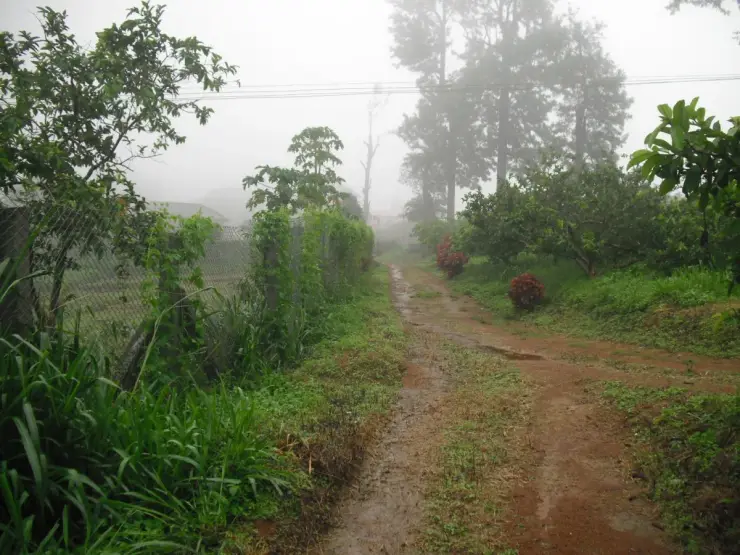
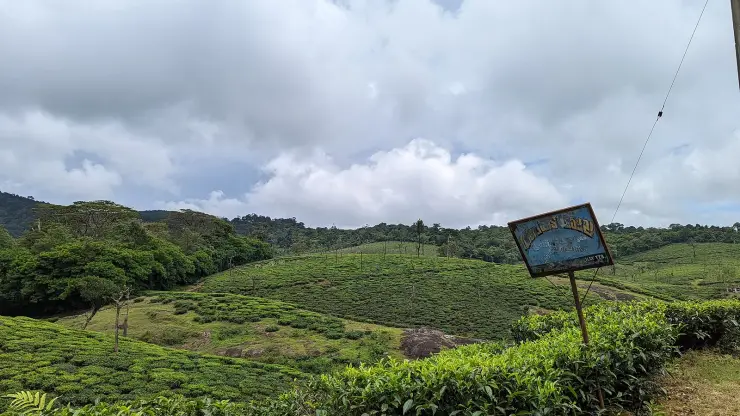
The character of the ground changes as you climb out of the estate. Below, it is planted and tended; above, the grass comes up past waist height, seed heads and all, and the rock breaks through it in shelves. The shola trees hold the ridge line in a dark band. It is the shola-grassland mosaic of the high Western Ghats, which on this range is what the land does above about a thousand metres wherever it was never cleared.

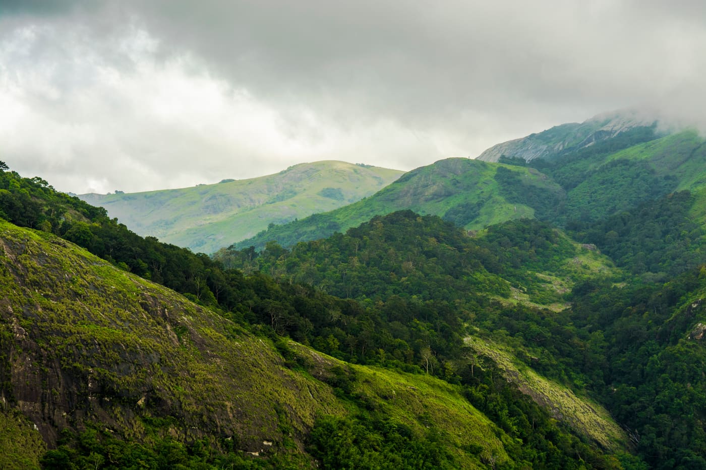
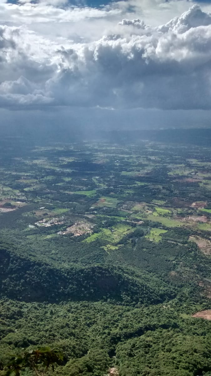
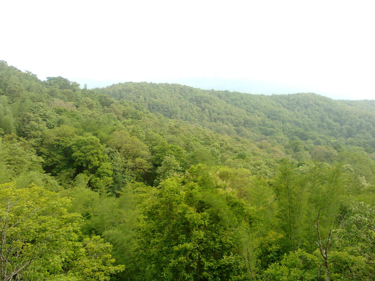
The view is the reason to go and it is a different one from the plateau's western viewpoints. Instead of the plain, you are looking over ridge after forested ridge with cloud lying in the folds between them, and on a clear early morning a distant peak standing above a flat sea of cloud on the horizon. Late morning fills it all in.

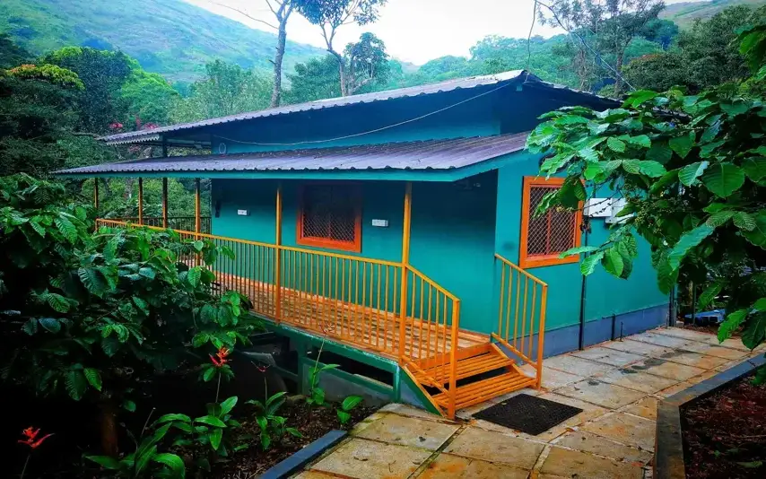
There are places to stay on the estate itself, which is unusual up here — two of the plateau's businesses give a Ranimedu Estate address at Pulayanpara, and they are the practical way to be on this side of the hill at first light rather than driving out to it.

Read the full history of Ranimedu 211 more words

History

The estate is part of the belt of plantations opened on these hills after the 1889 lease, when the slopes were cut out of the forest for coffee and later for tea and cardamom, and the high rock and grass above the planting line were left alone. That division — planted below, open above — is still exactly what you walk through on the way up.

Medu means a raised place or a mound, and rani is queen. The hills belonged to the Vengunad Kovilakam of Kollengode before the leases, and estate names on this range carry that older ownership in them more often than they carry anything about the planters.

Why visit

A grass-and-rock top with shola along the ridge, reached by estate track rather than by road.

Cloud lying in the valleys with the far peaks standing above it on a clear early morning.

A view over forested ridges rather than over the plain, which is the opposite of what the plateau's better-known viewpoints show you.

Named by Kerala Tourism as a trekking destination on the Nelliyampathy hills.

Estate stays on the ground itself, so you can be up there at first light instead of driving to it.

Waist-high grassland and bare rock shelves — the shola-grassland mosaic at close quarters.

What to expect

Highlights

  • Cloud lying in the valleys at first light with the far ridges and a distant peak standing above it.
  • An open top of rock shelves and waist-high grass with shola along the ridge behind.
  • A view over forested ridges rather than over the plain — the reverse of the plateau's western viewpoints.
  • The abrupt line where the planting stops and the grassland begins, which is the history of the hill made visible.
  • Estate stays on the ground itself at Pulayanpara, so you can be on the top at dawn.
  • A climb by estate track that is walked and cycled rather than driven.
Getting there

How to visit

  • Ask permission first. This is a working plantation and the tracks are private property with people employed on them.
  • Stay on the estate if you can. The whole value of this place is being on the top at first light, and that is hard to do from across the plateau.
  • Go up on foot or by bicycle and do not count on a vehicle for the last stretch — it defeats most cars.
  • Take a torch. First light means starting in the dark.
  • Give it two mornings if you have them, because the cloud that makes the view is not there every day.

Distance by road

  • Coimbatore54 km
  • Kozhikode127 km
  • Kochi143 km
  • Madurai224 km
  • Mysuru251 km

Road km to Palakkad; ghat roads and traffic vary — allow extra.

Timing

Best time

November to May, at dawn. The cloud in the valleys that makes this view is a first-light phenomenon and it is gone or closed in by the middle of the morning. The monsoon makes the track heavy and the grass sodden, and the view is generally inside the weather rather than above it.

Weather in RanimeduSeasonal guide

Live forecast loads in your browser.

Today at Ranimedu
Sunrise6:14 am
Sunset6:33 pm
Golden hour best light5:33 pm–6:33 pm
Blue hour after sunset6:33 pm–6:58 pm
Sun sets toward compass bearingW · 279°
Moon tonight🌖 Waning gibbous · 76%
South-west monsoon. June to September brings heavy rain to Kerala. Trails, falls and ghat roads can be slippery, swollen or closed at short notice, and forest departments sometimes suspend access. Check locally on the day before you travel.

Check the official alert before you travel. Kerala’s beaches, waterfalls and trekking routes close at short notice during heavy rain, and district alert levels change day to day. We do not publish an alert level of our own — read it from the state authority: Kerala State Disaster Management Authority, or the district control room on 1077.

Sun and moon are calculated for this location and shown in IST. Photography windows are the hour around sunrise and sunset; the sunset bearing is degrees clockwise from true north. Moon phase is accurate to about half a day.

Visitor notes

  • Access is by the estate's permission rather than by right, and that permission comes from the estate rather than from the Forest Division.
  • Nothing is built at the top: no railing, no shelter, no signboard.
  • Medu is a raised place and rani is queen; these hills belonged to the Kollengode royal house before the plantation leases.
  • The grass is high and the rock under it uneven. This is not a stroll in ordinary shoes.
  • There is no signal worth relying on and nothing to buy.
Safety

Good to know

  • Long grass hides broken ground and rock edges. Walk it, do not stride it.
  • Leeches are a real nuisance in and after the rain; boots and long trousers.
  • Elephants and gaur move through the estate and the shola above it. Go with someone who knows the ground, especially in the dark.
Official eco & forest programmes

Forest stays, camping and guided activities linked to Ranimedu

These are official or public-sector eco offerings that match this place, town or forest destination. Confirm availability, permits, tariffs and reporting times with the official operator before travel.

Nelliyampathy, Ranimedu
trekviewpointwildlife

Nelliyampathy hills eco visit

Hill, plantation and forest viewpoint landscape above Palakkad, included in Kerala Tourism’s ecotourism inventory.

Kerala Forest Department / local tourism authorities
Official source →
Stay · eat · do · rent · see · shop

Stays, food & things to do near Ranimedu

Verified hotels, homestays, restaurants, experiences, sights, shops and rentals around Ranimedu — commission-free, with direct contact. Filter by what you need.

Nelliyampathy Resorts Restaurant Kaikatti — Resort restaurant in Nelliyampathy
Verified
Resort restaurant · Nelliyampathy
Nelliyampathy Resorts Restaurant Kaikatti

The restaurant at Nelliyampathy Resorts on Kaikatti Road, and one of very few places to eat on the plateau. It serves the resort's own cottages first, so telephone before making the drive up for a meal.

Commission-freeView details
VANYA by Citrine Nelliyampathy — Nelliyampathy resort support in Nelliyampathy
Verified
Nelliyampathy resort support · Nelliyampathy
VANYA by Citrine Nelliyampathy
100 m · 1 min walk

VANYA by Citrine resort at Ranimedu Estate, Pulayanpara, Nelliyampathy. Contact direct / check current rules · nelliyampathy, Nelliyampathy resort support, stay.

Directions Commission-freeView details
Hill Valley Farm House Nelliyampathy — Farm stay in Nelliyampathy
Verified
Farm stay · Nelliyampathy
Hill Valley Farm House Nelliyampathy
4.6 km · ~11 min by auto

Farm stay in Nelliyampathy. Contact direct · Farm stay, Nelliyampathy, Ravivarma Estate.

Directions Commission-freeView details
Nelliyampathy Resorts Kaikatti — Resort in Nelliyampathy
Verified
Resort · Nelliyampathy
Nelliyampathy Resorts Kaikatti

Nelliyampathy Resorts at Kaikatti with direct contact evidence for hill-station stays. Rs 4000-8000 listed on source · Nelliyampathy stay, Kaikatti Road, Ravivarma Estate.

Commission-freeView details
N
Nelliyampathy Resorts
Place to stay
Top pick
Hotel · Nelliyampathy
Nelliyampathy Resorts

Forest-cottage resort in the Nelliyampathy hills off Kaikatti Road. Its cottages lie inside the forest, reached by four-wheel-drive vehicles.

Commission-freeView details
C
Coffee Valley Resort
Place to stay
Top pick
Hotel · Nelliyampathy
Coffee Valley Resort
4.4 km · ~11 min by auto

Cottages nestled amid hills and a coffee estate in Nelliyampathy. It sits about 100 m from Seetharkundu viewpoint, famed for sweeping valley views.

Directions Commission-freeView details
H
Hill Valley Farm House
Place to stay
Top pick
Hotel · Nelliyampathy
Hill Valley Farm House
4.6 km · ~11 min by auto

A family-run farmhouse stay in the Sahyadri range at Nelliyampathy. Family cottages and a budget dormitory sit amid coffee-valley plantations with mountain views.

Directions Commission-freeView details
K
Kailas Estate Trails
Place to stay
Top pick
Hotel · Nelliyampathy
Kailas Estate Trails
100 m · 1 min walk

A boutique estate stay with ten rooms across bungalows, 4 km from Nelliyampathy town. Guests join coffee-plantation walks and birdwatching in the Western Ghats.

Directions Commission-freeView details
K
KFDC Ecotourism Nelliyampathy
Place to stay
Top pick
Hotel · Nelliyampathy
KFDC Ecotourism Nelliyampathy

The Kerala Forest Development Corporation's own forest lodge and tent stay in the Nelliyampathy hills, and the only packaged trekking here. Day and stay programmes; booked through the corporation, not at a counter on the hill.

Commission-freeView details
M
Merryland Resort Nelliyampathy
Place to stay
Verified
Direct resort contact · Nelliyampathy
Merryland Resort Nelliyampathy
4.4 km · ~11 min by auto

Merryland Resort Nelliyampathy local contact record for hill-station overnight stays. Contact direct / check current rules · nelliyampathy, Direct resort contact, stay.

Directions Commission-freeView details

Book with the place itself. India’s cyber-crime coordination centre warned in April 2025 that convincing copies of hotel and pilgrimage booking sites are being pushed through sponsored search and social ads, taking payment for rooms the property never hears about. Every listing here links to the business’s own contact details and its own Google or Bing profile — we take no commission and sit in nobody’s payment path. If a booking page reached you through an ad, check the address bar against the property’s own site before you pay. Fraud can be reported on cybercrime.gov.in or on 1930.

Ranked

The best of Nelliyampathy, ranked

Ranimedu sits in Nelliyampathy, and these rank everything verified across the town rather than this one spot — built from the same listings shown above, ordered by the strength of the source evidence behind each entry rather than by anyone's star score. Every card shows how many places are really on it. Nobody pays to appear.

Across the whole of Nelliyampathy

Ranked guides

Top experiences around Nelliyampathy

6 more places around Nelliyampathy, each worth a day of its own.

hill stationNelliyampathy

3.5 km · ~9 min by auto

Tea and orange-garden hill station reached through forested ghat roads.

trekNelliyampathy trek

3.0 km · ~7 min by auto

Walking routes off the Nelliyampathy plantation plateau: an evergreen-forest footpath to the bare granite of Kesavan Para, longer forest-division routes to Hill Top, Karassuri and over the ridge to Parambikulam, and a four-wheel-drive climb to Manpara and the ruined Victoria Church.

activityGovernment Orange and Vegetable Farm

3.1 km · ~8 min by auto

A state farm at Kaikatty growing mandarin oranges, winter vegetables and a fruit forest of fifty varieties on the Nelliyampathy plateau — the Kingdom of Cochin's Poliya estate, a farm since 1943 and an orange and vegetable farm since 1956, with a passion-fruit processing unit and a published ticket.

viewpointSeetharkundu viewpoint

4.3 km · ~11 min by auto

The name makes the claim: Seetharkundu is traditionally held to be where Rama, Lakshmana and Sita rested during the exile. It sits five kilometres by road from the Nelliyampathy settlement — about eight from Kaikatty, which is why the published figure moves around — and looks out over the Palakkad plain, which means it is worth almost nothing in cloud and a great deal on a clear morning. Check the weather before committing the drive.

viewpointKesavan Para

5.0 km · ~13 min by auto

A bare rock shoulder with a long view, about four kilometres by road from the Nelliyampathy settlement and two from Kaikatty, and the location where Mrigaya was shot in 1989 with Mammootty. The rock carries a common Kerala elephant name, and whether that is where the name comes from is not something the English-language record establishes — so we leave the elephant story alone until somebody can source it.

viewpointKaradipara

4.6 km · ~12 min by auto

A rock shoulder on the Kaikatty-Nooradi road looking across an unbroken fold of evergreen forest to a conical peak — the nearest thing on the plateau to a viewpoint you can have to yourself.

Roampedia is commission-free — own or know a stay, eatery, guide or shop near Ranimedu? List it and it appears here once verified.

Add a nearby business
Before you go

Ranimedu — at a glance

TimingsNo hours are published. The morning is the whole point: the cloud in the valleys that makes this view is an early phenomenon, and estate work goes on around you through the day.

Entry: Nothing is charged, but the ground is a working estate and access is by its permission rather than by right.

Photography: The frame is the cloud in the valleys with the ridges coming out of it, shot early and shot wide. Put the rock shelf and the grass in the bottom of the picture — the view has no scale otherwise, and the seed heads catch the low light. Something on the rock, a pack or a bicycle, does the same job for the top point itself.

Parking: There is no parking at the top. Vehicles are left wherever the estate track becomes impassable, or at the stay you are using, and the rest is on foot.

Getting here

How to reach Ranimedu

  • ✈︎ By air Cochin International Airport is about 120 km by road, with Coimbatore the alternative.
  • 🚆︎ By train Palakkad Junction is the practical railhead; Kerala Tourism gives Thrissur at 77 km and Shoranur Junction at 80 km from Nelliyampathy.
  • 🚗︎ By road About three and a half kilometres from the Nelliyampathy settlement and 5.5 km from the Kaikatty junction, but on estate track for the last part rather than a public road — allow eight to ten minutes and expect to walk. From Pothundy dam at the foot of the ghat it is 23.8 km and a little over half an hour.
  • 🚌︎ By bus There is no bus. Services from Nenmara and Kollengode reach the Nelliyampathy settlement and stop, and the estate track is not served by anything.
Getting back

Work out your return before you settle in for the sunset. Public transport here thins out sharply in the evening, and Ranimedu is easier to reach than to leave. We do not publish departure times: there is no official live feed we are permitted to republish, and a wrong time here would strand you. Check the operator directly on the day.

Ask at the bus stand for the time of the last service back, not the next one. If you miss it, an auto or app cab is the fallback — agree the fare before you get in.

Do

Things to do

  • Walk or ride up the estate track from the planted ground into the open grass above it.
  • Be on the top at first light for the cloud lying in the valleys and the far peaks above it.
  • Look at where the planting stops and the grassland and rock begin — the line is abrupt and it is the history of the hill.
  • Follow the shola along the ridge behind the top point, which is where the birds are.
  • Stay on the estate if you can, and give yourself two mornings rather than one.
Plan

Good to know

  • Ask permission. This is somebody's working plantation, not a public path.
  • Go up early and take a torch: first light means starting in the dark.
  • Wear boots and long trousers. The grass is high, the ground under it is uneven rock, and there are leeches in and after the rain.
  • Do not count on a vehicle getting you to the top. The last stretch defeats most cars.
  • Carry water. There is nothing up there and no reliable signal.
Getting around Ranimedu

We have not assessed physical access at this place yet. Across India, step-free routes, handrails and accessible toilets are the exception rather than the rule, and pavements are often interrupted — if step-free access matters to you, contact the site or a local operator before committing to the trip.

Nearby

What’s near Ranimedu

trekNelliyampathy trek 3.0 km · ~7 min by auto · straight line
activityGovernment Orange and Vegetable Farm 3.1 km · ~8 min by auto · straight line
hill stationNelliyampathy 3.5 km · ~9 min by auto · straight line
viewpointSeetharkundu viewpoint 4.3 km · ~11 min by auto · straight line
viewpointKaradipara 4.6 km · ~12 min by auto · straight line
viewpointKesavan Para 5.0 km · ~13 min by auto · straight line
damPothundi Dam 8.9 km · ~15 min by cab · straight line
heritageKollengode 10.7 km · ~18 min by cab · straight line
wildlifeParambikulam Tiger Reserve 14.9 km · ~25 min by cab · straight line
damMangalam Dam 19.7 km · ~33 min by cab · straight line
heritagePalakkad Fort 28.4 km · ~47 min by cab · straight line
jainJainimedu Jain Temple 30.8 km · ~51 min by cab · straight line

All 3 places to visit in Nelliyampathy →

On the map

Where Ranimedu is

Good to know

Ranimedu — frequently asked

How do I get to Ranimedu?

It is about three and a half kilometres from the Nelliyampathy settlement and 5.5 km from the Kaikatty junction, but the last part is estate track rather than public road, so allow about eight to ten minutes of driving and expect to finish on foot. People walk and cycle it.

Is it a trek?

More than the roadside viewpoints are, and less than the Forest Division routes. Kerala Tourism lists it among the trekking places on these hills. The climb is on estate track through planted ground and then out into open grass and rock.

Do I need permission?

It is a working plantation, and estate tracks are private property with people employed on them. Ask at the estate, or arrange it through whoever you are staying with. Permission for estate ground comes from the estate rather than from the Forest Division.

What is the view like?

Forested ridges one behind another with cloud lying in the folds, and on a clear morning a far peak standing above a flat layer of cloud. It faces away from the plain, which is what makes it different from Seetharkundu.

When should I go?

November to May, and at first light. The cloud that makes the view is a morning thing; by the middle of the day it has either burned off or closed in. The monsoon makes the track difficult and the grass sodden.

Can I stay on the estate?

There are stays with a Ranimedu Estate address at Pulayanpara, which is the practical way to be on the top early rather than driving across the plateau in the dark.

Is there anything up there?

No. No railing, no shelter, no shop, no signboard. Tall grass, rock shelves, shola trees on the ridge, and whatever the weather is doing.

What does the name mean?

Medu is a raised place or mound and rani is queen. These hills belonged to the Kollengode royal house before the plantation leases, and a good many estate names here carry that.

When is the best time to visit Ranimedu?

November to May, at dawn. The cloud in the valleys that makes this view is a first-light phenomenon and it is gone or closed in by the middle of the morning. The monsoon makes the track heavy and the grass sodden, and the view is generally inside the weather rather than above it.

What are the entry fee and timings at Ranimedu?

Entry: Nothing is charged, but the ground is a working estate and access is by its permission rather than by right.. Timings: No hours are published. The morning is the whole point: the cloud in the valleys that makes this view is an early phenomenon, and estate work goes on around you through the day.

How do I reach Ranimedu?

Ask permission first. This is a working plantation and the tracks are private property with people employed on them. Stay on the estate if you can. The whole value of this place is being on the top at first light, and that is hard to do from across the plateau. Go up on foot or by bicycle and do not count on a vehicle for the last stretch — it defeats most cars. Take a torch. First light means starting in the dark. Give it two mornings if you have them, because the cloud that makes the view is not there every day.

How much time do I need for Ranimedu?

A morning. The climb from the estate is the bulk of it, and the top itself deserves an unhurried hour at the right time of day.

What else is near Ranimedu?

Nearby you can pair Nelliyampathy trek (3.0 km), Government Orange and Vegetable Farm (3.1 km), Nelliyampathy (3.5 km), Seetharkundu viewpoint (4.3 km).

What should I know before visiting Ranimedu?

Long grass hides broken ground and rock edges. Walk it, do not stride it. Leeches are a real nuisance in and after the rain; boots and long trousers. Elephants and gaur move through the estate and the shola above it. Go with someone who knows the ground, especially in the dark.

Read before you go

Ranimedu guides, stories & itineraries

Stories & history of Ranimedu

Written about Ranimedu itself — its history, its legends and the arguments about them.

Around Nelliyampathy

Ranimedu sits in Nelliyampathy, so these cover the streets, buildings and surroundings around it.

Kerala-wide guides & itineraries

Route-level itineraries and practical guides for the rest of Kerala.

See all 26 Palakkad guides & stories →

Photographs: Nuveen60 (CC BY-SA 4.0). Wikimedia Commons.

Image credits