Nadukani trek

Nadukani is the Forest Department’s hard 9 km guided day trek from the Athirappilly Waterfalls entrance, not the roadside viewpoint of the same name in Idukki or Kottayam.

Nadukani trek, Athirappilly and Vazhachal
Practical guide

Plan Nadukani trek

Who's going?Tailor Nadukani trek to your trip
Typetrek
AreaAthirappilly and Vazhachal
DistrictThrissur
Best timeOctober to February is generally easier…
Time neededMost of a day
Entry₹1,500
Places to visit4Listed businesses10

The route crosses buffer-zone semi-evergreen forest and a teak plantation established in 1976, then reaches the hill and a safe opposite-side view of Athirappilly Falls. Food, drinking water, trained staff and an experienced local tribal watcher are included.

The story

Nadukani is the long walk hidden behind the famous Athirappilly waterfall stop: a guided 9 km route from the visitor entrance through buffer-zone forest and an old teak plantation to a hill that looks back across the valley.

The story of Nadukani trek

The name needs fixing before the boots go on. Kerala has several places called Nadukani, including a hill viewpoint in the Idukki–Kottayam highlands and a pass on the Nilambur road. This programme belongs to Athirappilly in Thrissur. Its official reporting point is the waterfall entrance, and its subject is the forest hill reached from there. A photograph or map result from another Nadukani can send a traveller to the wrong district.

The official Vazhachal Forest Division page calls this a hard trek and gives the distance as 9 km. That immediately separates it from the ordinary visitor route at Athirappilly, where the top and base viewpoints are reached by short public paths. Nadukani is not a longer ticketed stroll around the waterfall. It is a booked, guided forest day with one published morning departure.

The route begins at a place designed for crowds and quickly changes scale. At the entrance there are ticket checks, parking, railings and the constant sound of visitors arriving for the falls. Beyond the reporting process, the trekking party becomes a small managed group. The waterfall ceases to be the whole destination and becomes a landmark seen from another side of its forest.

Kerala Forest Department describes the walk as crossing the Athirappilly Forest Station area from the camp shed towards Nadukani hill. It explicitly says the trail lies in the buffer zone and does not enter the core area. Those words are not a downgrade. They define the authorised space in which a tourism walk can happen without turning the deeper protected forest into an open recreation ground.

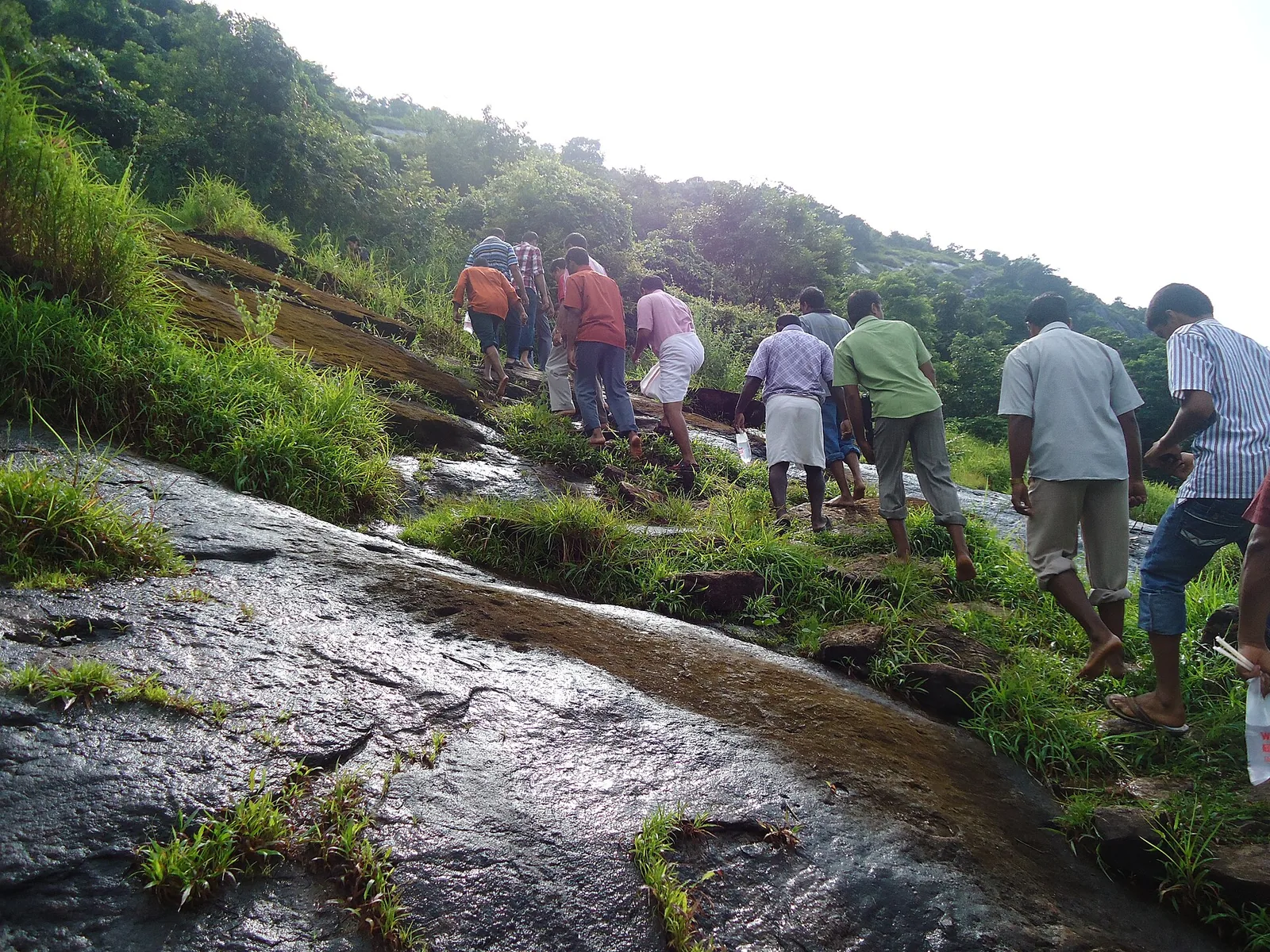
Semi-evergreen forest forms the living background: trunks, climbers, leaf layers, damp ground and brief openings alternate as the trail gains and loses sightlines. The official programme mentions opportunities to see birds, butterflies and odonates, but wildlife moves freely. Come for the forest itself and treat sightings as a bonus.

One of the route’s most specific markers is a teak plantation established in 1976. A plantation can resemble forest in a wide photograph, yet walking makes its structure easier to read. Repeated trunk spacing and a more ordered stand contrast with the irregular layers of semi-evergreen growth. The trek therefore crosses not one timeless wilderness but a landscape with both managed and less regular forest histories.

That contrast is more useful than treating every large tree as interchangeable scenery. Teak was planted for timber under a particular management logic; the surrounding mixed forest follows many more forms and ages. The official itinerary turns the plantation date into a waypoint, allowing walkers to notice how land use produces a visible pattern. It is a history lesson written in spacing rather than a plaque.

The trained staff and experienced local tribal watcher listed in the programme are part of the route, not an optional service attached to it. They decide pace, interpret conditions and keep the group within the authorised line. Their knowledge matters most when the trail looks least dramatic: a change in animal sign, a wet crossing or a silent section can mean more than a visitor’s desire to reach the next photograph.

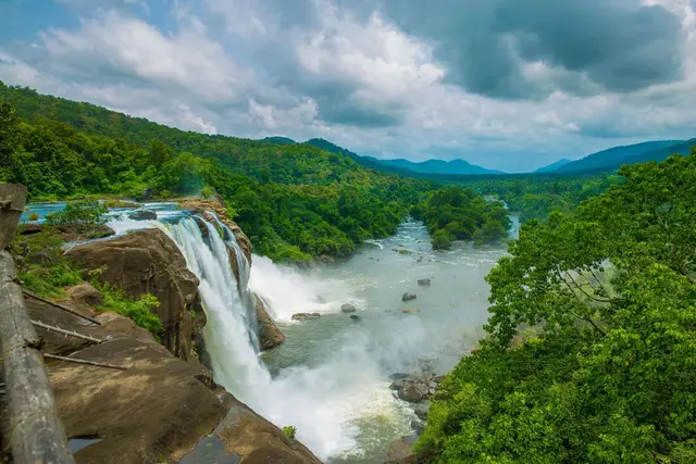
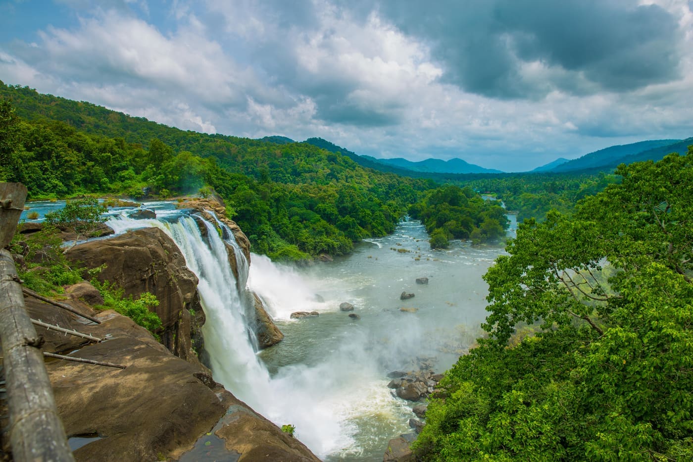
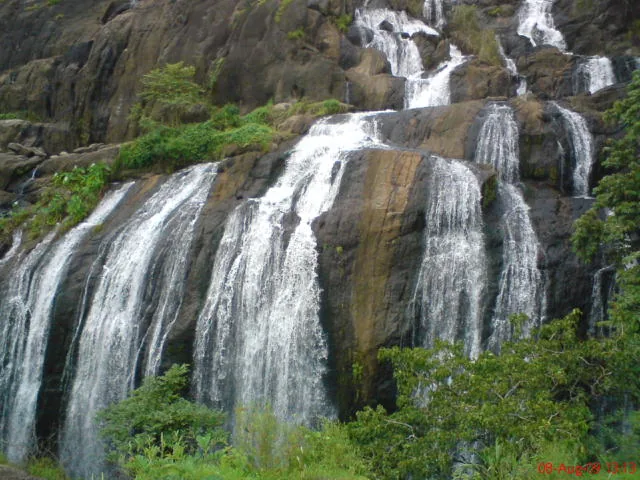
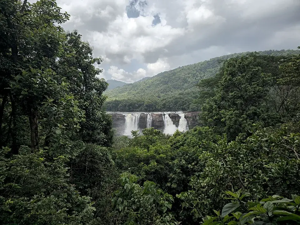
Nadukani culminates in distance rather than proximity. The advertised attraction is a safe view of Athirappilly Falls from the opposite side, after the waterfall has been reframed by the forest crossed to reach it. From afar, the broad white drop sits within a much larger green basin. This is the scale the roadside and base viewpoints cannot provide, even though they bring visitors closer to the water.

The strongest available hero photograph shows exactly that relationship: Athirappilly’s curtain is small enough to be held by forested slopes and large enough to remain unmistakable. It is a remote view of the falls, not proof of the precise Nadukani summit position. The caption and credit must keep that distinction clear because a view can explain a route without pretending to locate the camera on it.

Waterfall conditions transform the reward. In wet months the Chalakudy River can spread into a powerful white wall and lift spray above the trees. In drier weather individual channels and the dark rock face become easier to separate. Neither state changes the length or difficulty of the forest walk, and dramatic monsoon volume can arrive with slippery ground or a suspended departure.

This is why “best time” cannot be reduced to the fullest waterfall. October through February usually offers an easier hard walk, with less saturated ground and more predictable road travel. The southwest monsoon produces the most forceful water and deepest greens, but it also makes roots, leaf litter and slopes harder. The Forest Department’s decision on the day overrides every seasonal recommendation.

The single 07:30 slot shapes the entire visit. It means the trek is not something to add after seeing the waterfall or to begin when a private car happens to arrive. A group must report with enough time for identity and booking checks, meet its staff and leave as scheduled. Starting together is part of how one guided party remains one party across nine kilometres.

The official portal says a minimum of four travellers must book and lists ₹1,500 per Indian visitor, producing a ₹6,000 minimum. Foreign visitors are listed at ₹3,000 each. These figures belong to the trekking programme, not the ordinary Athirappilly sightseeing ticket. Parking and any separate waterfall visit should not be silently folded into the same price.

There is a contradiction worth preserving rather than smoothing away. The booking information displays a maximum of 20 travellers, while the programme description says a maximum of 15 is included in one trip. A travel page cannot decide which number the operator currently enforces. A large party should ask the published contact before paying, and the answer for that date should govern the booking.

Food and drinking water are listed as inclusions. That is useful on a route where leaving the group to buy something is not an option, but it does not remove personal preparation. Essential medicine, rain protection and any dietary requirement still need to be addressed before departure. The inclusion is logistical support, not permission to arrive without knowing what a hard forest day asks of the body.

Valid original identification and the booking confirmation are required by the official portal. This may feel administrative beside photographs of rainforest, yet controlled entry is what distinguishes an authorised trek from casual forest access. The booking can be made up to 60 days ahead, but completion requires the issued confirmation; a payment attempt or enquiry message alone is not the same thing.

The published rules prohibit pets, smoking and alcohol. They also tell walkers to keep a safe distance from animals, never feed or chase them, avoid flash and remain with the guide. These are not decorative conservation slogans. An encounter on a narrow trail has no safe version in which a visitor moves closer for a photograph or separates from the staff to follow an animal.

Photography works best when the route supplies the composition. Ordered teak trunks, irregular canopy, wet leaf surfaces, a staff-led line of walkers and the distant waterfall each explain a different part of Nadukani. A telephoto view can make the falls appear near, so a truthful caption should say it is seen across the valley. Scale is part of the story and should not be edited away.

The public waterfall paths deserve their own careful distinction. Images of visitors behind bamboo rails or standing near the top lip show the ordinary Athirappilly experience, not the natural-surface Nadukani trail. They remain useful in the gallery because they explain the crowded landscape from which the trek departs. Captions own the distinction so the pictures do not promise railings throughout the forest.

Likewise, a close photograph from the rocky base can show the force that becomes a distant white band from Nadukani. It does not illustrate the trek’s footing or endpoint. Pairing the two scales is honest when each image is named: one is the waterfall visited by the public, the other is the larger valley the guided walk teaches a traveller to see.

The word “adventure” on the official product should be read through measurable facts rather than promotional mood. Nine kilometres, a hard rating, one early departure, natural ground and a guided buffer-zone line are the substance. There is no need to invent a summit altitude, technical scramble or overnight camp. The day is demanding because it is long and controlled, not because it has been exaggerated.

A sensible pace leaves attention for the return. The waterfall view may feel like the climax, but the same plantation and forest have different light and orientation on the way back. Fatigue also changes footing. Saving energy for the second half is more important than racing the outward leg, especially when the party must remain together and there is no private shortcut to the entrance.

The route can also be read as a sequence of thresholds. The first is administrative: the ticket booth, identification check and meeting with staff. The second is physical, where the infrastructure of the waterfall entrance gives way to a forest surface. The plantation introduces a third threshold because its regular geometry interrupts the mixed growth. The last is visual, when the trees release a view back towards the falls. Remembering those changes gives the walk a structure more precise than a list of kilometres.

Sound records the same transition even when cloud closes the longer views. Voices, vehicles and the waterfall dominate the visitor entrance. Farther along, footsteps and nearby forest sounds replace them; the river may be heard without being visible. At the distant viewpoint the falls return first as a broad noise across the basin and then as a white shape in the trees. The trek therefore approaches its best-known landmark by losing it and finding it again, rather than keeping it continuously in sight.

That pattern explains why an ordinary waterfall ticket and a Nadukani booking serve different travellers. The public paths are built to deliver close viewpoints efficiently, with barriers and a steady turnover of visitors. The trek spends most of its value on the intervening forest and on the time required to cross it. Someone interested only in a close waterfall photograph will find the shorter route more direct; someone choosing Nadukani is choosing the long change of perspective.

The return to the entrance is not an afterthought in that perspective. Familiar trunks now face the walker from the other direction, openings reveal different slices of the valley and the ordered plantation can be compared again with the mixed canopy. A guide may also adjust the pace or line in response to rain and animal movement. Treating the outward viewpoint as the halfway purpose, rather than the finish, keeps the nine-kilometre claim honest in both planning and experience.

Back among the railings and parked vehicles, the forest scale is easy to compress into the final waterfall image. The better memory is relational: an entrance beside the Chalakudy River, a managed buffer-zone route, a dated plantation, a staff-led party and a fall seen across wooded distance. Each element belongs to the same day but none substitutes for another. That is what makes this Nadukani specific, and why borrowing a viewpoint photograph or directions from another district would erase the very journey being described.

Nadukani finally changes the mental map of Athirappilly. The famous falls are no longer an isolated attraction at the end of a road; they are one break in a forested river valley, visible from another hill only after hours on foot. That enlarged geography is the trek’s real reward. It makes the waterfall smaller in the frame and more intelligible in the landscape.
Legend & myth

Nadukani is not one universally identifiable Kerala viewpoint. The name is shared by places in other districts. On this page it means the official Athirappilly Forest Division trek from the waterfall entrance, and no photograph or coordinate from the Idukki or Nilambur Nadukani belongs here.

Read the full history of Nadukani trek 193 more words

History

The route’s 1976 teak plantation is the clearest dated human layer published for the trek. It records a period when forest management included establishing regular timber stands, whose ordered spacing remains visible beside more complex semi-evergreen growth.

The contemporary programme is run through the Vazhachal Forest Division as controlled ecotourism. It uses trained staff and a local tribal watcher, limits departures and keeps the walk in the buffer zone rather than presenting the forest as unrestricted public land.

Athirappilly and Vazhachal were established as Forest Department tourism destinations in 2000. Nadukani now sits within that visitor system but asks for a separate booking and tariff from ordinary waterfall sightseeing.

The Chalakudy River and the Western Ghats give the route its physical frame. The distant waterfall view joins river, escarpment and forest in one scene, while the walk reveals plantation history and protected-area rules at human pace.

Why visit

Walk the full forest day hidden behind a famous roadside attraction.

Read the difference between a dated teak plantation and semi-evergreen forest.

See Athirappilly Falls at the scale of its whole wooded valley.

Travel with Forest Department staff and a local watcher on an authorised buffer-zone route.

What to expect

Highlights

  • A full 9 km forest walk rather than the ordinary short descent at Athirappilly Falls.
  • The 1976 teak plantation, where ordered trunks contrast with semi-evergreen forest.
  • A remote view of Athirappilly Falls from across its forested valley.
  • A small guided group with only one published departure per day.
Getting there

How to visit

  • Book the Nadukani Adventure Trek through the official Vazhachal Forest Division portal, using the programme name rather than asking for a generic viewpoint.
  • Report at the Athirappilly Waterfalls entrance with the booking confirmation and original valid ID.
  • Join the single 07:30 departure and remain with the Forest Department staff and local watcher throughout.
  • Treat wildlife, weather and forest instructions as decisive; sightings and the exact day’s route are never guarantees.

Distance by road

  • Kochi85 km
  • Coimbatore115 km
  • Kozhikode130 km
  • Mysuru265 km
  • Madurai274 km

Road km to Thrissur; ghat roads and traffic vary — allow extra.

Timing

Best time

October to February is generally easier for a hard forest walk. Monsoon makes the forest and falls dramatic but also brings heavy rain, slippery ground and a greater chance of suspension.

Weather in Nadukani trekSeasonal guide

Live forecast loads in your browser.

Today at Nadukani trek
Sunrise6:12 am
Sunset6:09 pm
Golden hour best light5:09 pm–6:09 pm
Blue hour after sunset6:09 pm–6:34 pm
Sun sets toward compass bearingW · 263°
Moon tonight🌑 New moon · 0%
Retreating monsoon. October and November still see spells of rain from the retreating monsoon, though it is usually lighter than mid-year. Conditions are generally good but worth checking.

Sun and moon are calculated for this location and shown in IST. Photography windows are the hour around sunrise and sunset; the sunset bearing is degrees clockwise from true north. Moon phase is accurate to about half a day.

Visitor notes

  • The published minimum booking is four travellers and ₹6,000 total for Indians.
  • The booking page lists a maximum of 20 in one place but says 15 in its inclusion text; confirm the actual cap before paying.
  • This is buffer-zone trekking and does not enter the core area.
  • The route is distinct from the public waterfall path and from other places named Nadukani elsewhere in Kerala.
Safety

Good to know

  • Follow the guide, keep a safe distance from animals and never feed or chase them.
  • Carry valid ID and the booking confirmation; pets, smoking and alcohol are prohibited.
  • Avoid flash photography and do not leave the group for an angle.
  • Wear footwear for a hard 9 km forest walk and expect wet, uneven ground after rain.
Official eco & forest programmes

Experiences around Nadukani trek

These are official or public-sector eco offerings that match this place, town or forest destination. Confirm availability, permits, tariffs and reporting times with the official operator before travel.

Chimmony Wildlife Sanctuary, Nadukani trek
trekbirdingwildlife

Chimmony Virakuthodu to Choorathala trek

Guided 5 km forest trek from Virakuthodu to Choorathala through butterfly and bird-rich Chimmony sanctuary terrain.

Chimmony Wildlife SanctuaryAbout 3 hours
Official source →
Chimmony Wildlife Sanctuary, Nadukani trek
forest staycampingboating

Chimmony Anaporu overnight stay

Interior forest overnight package at Chimmony with reservoir boating, forest trekking and meals.

Chimmony Wildlife Sanctuaryforest cottageOvernight
Official source →
Athirappilly and Vazhachal, Nadukani trek
waterfallwildlifeviewpoint

Athirappilly and Vazhachal forest waterfall circuit

Kerala’s best-known forest waterfall belt on the Chalakudy river, listed as an ecotourism destination.

Kerala Forest Department / local tourism authorities
Official source →
Stay · eat · do · rent · see · shop

Stays, food & things to do near Nadukani trek

Browse listed stays, food, activities, sights, shops and rentals around Nadukani trek. Check each listing’s locality and contact the business directly for current arrangements.

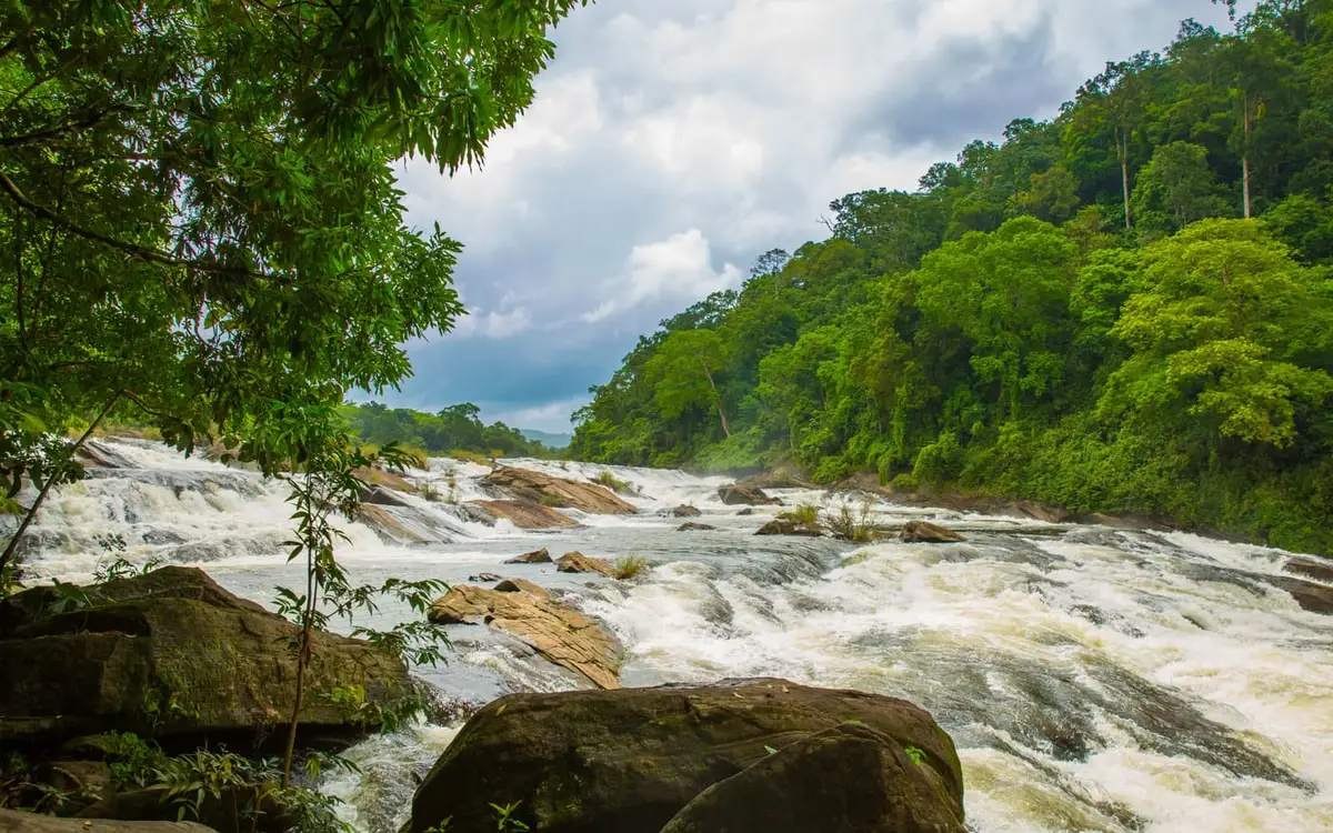
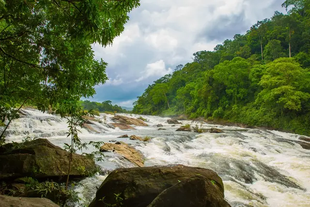
Vazhachal Falls — Attraction in Athirappilly and VazhachalPhoto: Jan Joseph George
Historic
Attraction · Athirappilly and Vazhachal
Vazhachal Falls
3.2 km · straight-line distance

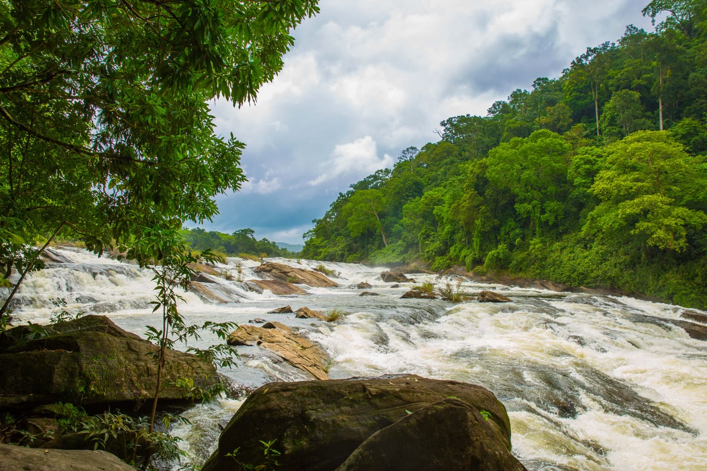
Broad rapids on the Chalakudy river just upstream of Athirappilly, in hornbill-rich Sholayar forest.

DirectionsView guide
Historic
Attraction · Athirappilly and Vazhachal
Athirappilly and Vazhachal Waterfalls
590 m · straight-line distance

Kerala’s largest waterfall — the “Niagara of South India” — a full-day trip west of Kochi.

DirectionsView guide
Historic
Attraction · Athirappilly and Vazhachal
Charpa Waterfall
2.3 km · straight-line distance

A seasonal roadside cascade between Athirappilly and Vazhachal.

DirectionsView guide
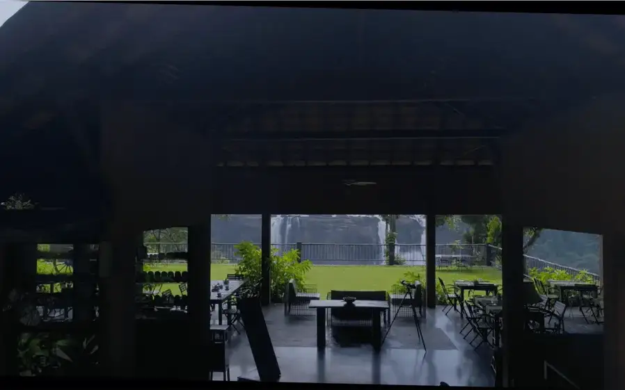
Waterfall-view restaurant · Athirappilly and Vazhachal
Rainforest Athirappilly Restaurant

Waterfall-view restaurant at Rainforest Athirappilly for visitors on the falls route.

Directions Commission-freeView details
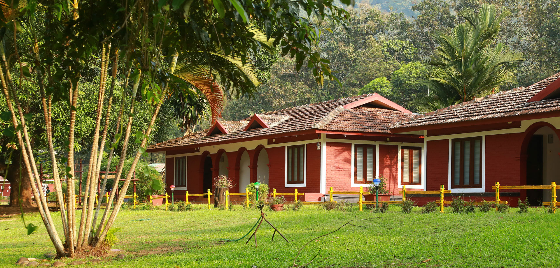
Resort · Athirappilly and Vazhachal
Bluemist Resort Athirappilly

Resort in Athirappilly and Vazhachal. Bluemist Resort, near Athirappilly waterfalls, Thrissur, Kerala · Athirappilly, Waterfall stay, Resort.

Directions Commission-freeView details
Resort · Athirappilly and Vazhachal
Casa Rio Resorts Athirappilly

Casa Rio Resorts is a hillside Athirappilly resort at Kannamkuzhi, Vettilappara P.O., useful for waterfall-area stays with pool, dining, banquet and board-room facilities. Athirappilly, Kannamkuzhi, Resort.

Directions Commission-freeView details
Farm resort · Athirappilly and Vazhachal
Plantation Valley Farm Resorts Athirappilly

Government-undertaking farm resort at Vettilappara, Athirappilly. Athirappilly, Vettilappara, Farm resort.

Directions Commission-freeView details
Resort · Athirappilly and Vazhachal
Athirappilly Green Trees Resort

Athirappilly Green Trees Resort is a boutique resort at Pillappara on Athirappilly Road, useful for waterfall overnights, spa, dining and nature-base planning. Athirappilly, Pillappara, Resort.

Directions Commission-freeView details
Resort · Athirappilly and Vazhachal
Niraamaya Retreats Samroha Athirappilly

Niraamaya retreat at Kannamkuzhi, Vettilappara with official address and reservation contacts. Athirappilly, Wellness resort, Niraamaya.

Directions Commission-freeView details
Resort · Athirappilly and Vazhachal
Rainforest Athirappilly

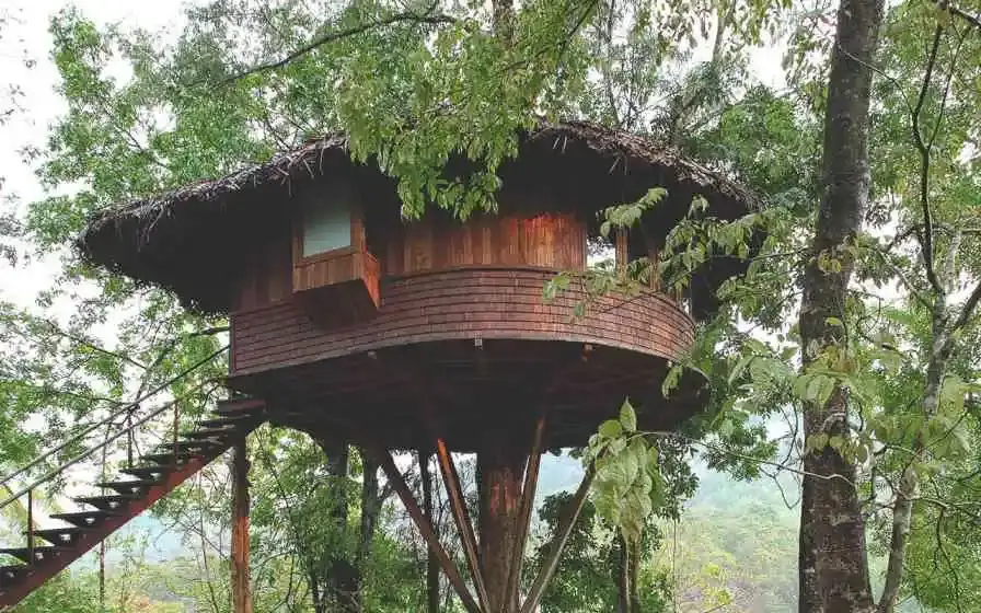
Athirappilly resort with a separately named treehouse for two adults and meals, alongside other room categories. Confirm stairs, child policy and arrival arrangements directly.

Directions Commission-freeView details
Resort · Athirappilly and Vazhachal
Fernvalley Athirappilly

Named villas, pool suites and riverside huts near Athirappilly. Compare room or whole-villa bookings, the specific pool arrangement and meal inclusions.

Directions Commission-freeView details
Forest trekking and jungle safari (Vazhachal Division) · Athirappilly and Vazhachal
Vazhachal Forest Division Trekking and Safari

Official Kerala Forest Department ecotourism contact for the Athirappilly and Vazhachal forests, offering guided forest trekking and jungle safari access. The Office of the Divisional Forest Officer, Vazhachal Division sits at Chalakudy and lists an official government phone and email for the falls and Sholayar-belt programmes.

Directions Commission-freeView details
Forest walk · Athirappilly and Vazhachal
Vazhachal Forest Garden Walk

Vazhachal forest-garden and waterfall-side walk context for Athirappilly route visitors. Forest walk.

Directions Commission-freeView details

Book with the place itself. India’s cyber-crime coordination centre warned in April 2025 that convincing copies of hotel and pilgrimage booking sites are being pushed through sponsored search and social ads, taking payment for rooms the property never hears about. Use the contact and source details on each profile to confirm the exact business and booking channel. A directory entry or map pin alone does not establish an operator’s identity or current availability. Roampedia takes no commission and does not collect booking payments. If a booking page reached you through an ad, check the address bar against the property’s own site before you pay. Fraud can be reported on cybercrime.gov.in or on 1930.

Options

More ways to explore Athirappilly and Vazhachal

Find food, accommodation and activities across Athirappilly and Vazhachal. Browse the guides for places to eat, stay and explore along your route.

Across the whole of Athirappilly and Vazhachal

Nearby guides

Top experiences around Athirappilly and Vazhachal

2 more places around Athirappilly and Vazhachal. Open a guide to plan the visit and onward journey.

waterfallAthirappilly Falls

590 m · straight line

Large waterfall on the Chalakudy river, also reached as a Kochi day trip.

waterfallVazhachal Falls

3.2 km · straight line

Forest waterfall area near Athirappilly.

Roampedia is commission-free — own or know a stay, eatery, guide or shop near Nadukani trek? Submit public business details for review.

Add a nearby business
Trek facts

Nadukani trek — at a glance

TimingsOne published departure at 07:30. The official route is 9 km and occupies most of the day; arrive before the reporting time with ID and confirmation.
Best timeOctober to February is the easier season for a hard forest walk. June to September gives high waterfall volume and saturated green but also heavy rain, slippery ground and possible closure.
Entry price
Indian adult
₹1,500

Fees change without notice. Check the current rate at the counter.

Entry: Official Nadukani Adventure Trek tariff: ₹1,500 per Indian visitor and ₹3,000 per foreign visitor. The Indian minimum is four travellers, so the published minimum booking is ₹6,000. Confirm before payment because the portal contains conflicting group caps.

Parking: Use the official Athirappilly parking and report on foot to the entrance; parking is charged separately.

Getting here

How to reach Nadukani trek

  • ✈︎ By air The Forest Department lists Cochin International Airport at about 55 km. Airport traffic and the final forest-side road make this a prior-day or generously timed transfer, not a quick same-hour connection.
  • 🚆︎ By train The Forest Department lists Chalakudy railway station at about 30 km. A train arriving near 07:30 is already too late; plan the road transfer backwards from the reporting deadline.
  • 🚗︎ By road Use the Chalakudy–Athirappilly road and report at the Athirappilly Waterfalls Entrance ticket-booth area before the 07:30 departure. The page pin is the reporting gate; it is not permission to drive or navigate independently towards Nadukani hill.
  • 🚌︎ By bus Buses serve Athirappilly from Chalakudy, but an early single departure makes a same-morning connection fragile. Confirm the current first service or arrange a pre-booked transfer that reaches the entrance before check-in.
Getting back

If you are travelling by bus or ferry, check the return service with the operator before setting out. Leave time to reach the stop or jetty after your visit.

Ask at the bus stand for the time of the last service back, not the next one. If you miss it, an auto or app cab is the fallback — agree the fare before you get in.

Prepare

What to carry

  • Book through the official Vazhachal Forest Division portal up to 60 days ahead.
  • Carry the booking confirmation and original valid ID.
  • Ask the office to resolve the portal’s 15-versus-20 maximum before organising a large group.
  • Food and drinking water are listed as inclusions, but carry personal medication and rain protection.
Getting around Nadukani trekNot wheelchair accessible
Terrain
Steep
From the entrance
A hard 9 km guided forest route from the Athirappilly entrance through semi-evergreen buffer forest and a 1976 teak plantation to Nadukani hill.
Step-free access
This is a long natural-surface forest trek with uneven ground and climbs. There is no step-free route to the Nadukani viewpoint.

Food and drinking water are listed as programme inclusions.Toilets and parking are at the Athirappilly visitor entrance, not along the forest trail.Trained Forest Department staff and an experienced local tribal watcher accompany the trek.

  • Only one 07:30 departure is published; a late arrival cannot safely shorten the route.
  • Wet-season ground is slippery and wildlife may be encountered. Stay with the guide and keep distance.
  • Phone signal and quick vehicle access should not be assumed once inside the forest.
  • The public waterfall railings and paths are not representative of the 9 km forest terrain.

Checked 3 September 2026 against source 1source 2source 3. Conditions change and surfaces vary with weather — if step-free access is essential, confirm with the site before you travel.

Nearby

What’s near Nadukani trek

waterfallAthirappilly Falls

Large waterfall on the Chalakudy river, also reached as a Kochi day trip.

590 m · straight line
waterfallVazhachal Falls

Forest waterfall area near Athirappilly.

3.2 km · straight line
damThumboormuzhi Dam

A check dam, hanging garden and butterfly garden on the Chalakudy river near Athirappilly, a popular picnic and day-trip stop.

12.4 km · straight line
trekChimmony trek

The official guided 5 km, roughly 3-hour forest route from Virakuthodu, one kilometre beyond the check post, to Choorathala inside Chimmony Wildlife Sanctuary.

19.2 km · straight line
damChimmony Dam

A reservoir and eco-tourism spot at the edge of the Chimmony Wildlife Sanctuary east of Thrissur, with boating and forest views.

20.3 km · straight line
churchChalakkudy Forane Church

St Mary’s Forane Church on Church Road, the Syro-Malabar forane that governs seventeen daughter parishes across the Chalakkudy countryside and keeps the ambu perunnal, the arrow feast the town observes across community lines. The present building was rebuilt in 1987; the belfry is 1913 and the bell 1887.

24.7 km · straight line
heritageChalakudy Market

The town’s wholesale produce yard on Market Road, the oldest continuously working institution in Chalakkudy — a Sakthan Thampuran-era pandikasala that still holds its traditional Tuesday and Friday markets and takes hill produce down State Highway 21.

24.8 km · straight line
churchMuringoor Divine Retreat Centre

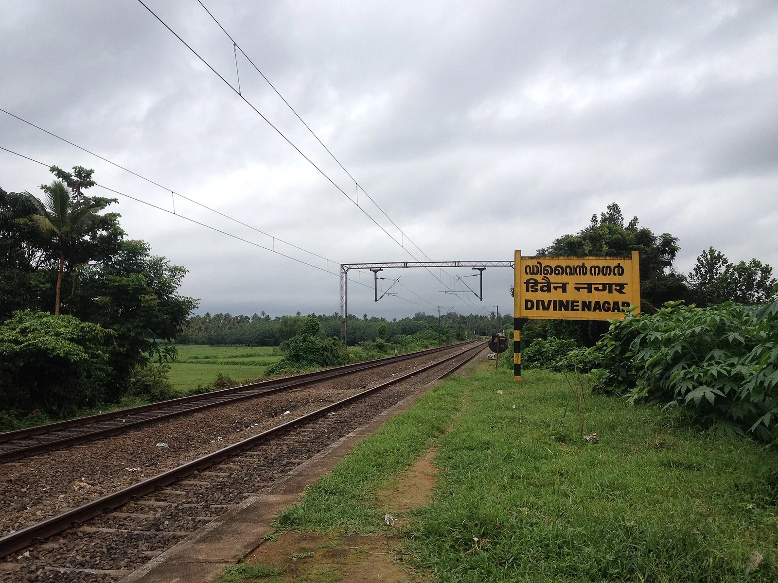
The Vincentian Congregation’s residential retreat centre on NH 544 at Muringoor, which by its own account takes about five thousand people a week for a six-day retreat in seven languages and houses two thousand more in five charitable homes — on volume, the largest organised draw in Chalakkudy taluk after the falls. Indian Railways opened a halt called Divine Nagar for it in 1996.

24.9 km · straight line
churchKanakamala Kurishumudi

A hill of crosses about 5 km north of Chalakkudy that local devotion ranks with Malayattoor — fourteen crosses up a kilometre of bare sheet rock to a hilltop shrine at about 310 m. The pilgrimage was begun in 1940 by the vicar of Perambra after a dream; April is its busiest month.

25.7 km · straight line
heritageChalakkudy railway station

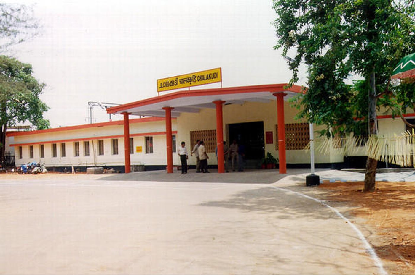
Chalakudi station, code CKI, on the Shoranur–Cochin Harbour section — the railhead the Cochin State Forest Tramway was extended to reach, and the transfer point for Athirappilly. About 1.4 km west of the highway, which catches most visitors out.

26.7 km · straight line
waterfallMarottichal Falls

A forest waterfall and fish sanctuary near Marottichal in the hills east of Thrissur, reached by a short walk.

32.0 km · straight line
damPeechi Dam

Reservoir and garden at the edge of the Peechi-Vazhani sanctuary, with boating, about 20 km east of Thrissur.

34.3 km · straight line

4 detailed place guides in Athirappilly and Vazhachal →

On the map

Where Nadukani trek is

Good to know

Nadukani trek — frequently asked

Is this the Nadukani viewpoint near Idukki?

No. This is the official 9 km Nadukani Adventure Trek from Athirappilly Waterfalls Entrance in Thrissur district.

How difficult is the Nadukani trek?

The operator rates it hard. It is a 9 km guided forest route, not the short public waterfall path.

What time does it start?

The official portal publishes one daily departure at 07:30. Arrive earlier with original ID and booking confirmation.

What does the price include?

The programme lists food, drinking water, trained staff and an experienced local tribal watcher. Confirm current inclusions before payment.

How many people can go?

At least four are required. The portal conflicts on the maximum—20 in booking information and 15 in the description—so large groups must confirm directly.

Are wildlife sightings guaranteed?

No. Stay with the guide, keep distance, avoid flash and never chase or feed an animal.

When is the best time to visit Nadukani trek?

October to February is generally easier for a hard forest walk. Monsoon makes the forest and falls dramatic but also brings heavy rain, slippery ground and a greater chance of suspension.

What are the entry fee and timings at Nadukani trek?

Entry: Official Nadukani Adventure Trek tariff: ₹1,500 per Indian visitor and ₹3,000 per foreign visitor. The Indian minimum is four travellers, so the published minimum booking is ₹6,000. Confirm before payment because the portal contains conflicting group caps. Timings: One published departure at 07:30. The official route is 9 km and occupies most of the day; arrive before the reporting time with ID and confirmation.

How do I reach Nadukani trek?

Book the Nadukani Adventure Trek through the official Vazhachal Forest Division portal, using the programme name rather than asking for a generic viewpoint. Report at the Athirappilly Waterfalls entrance with the booking confirmation and original valid ID. Join the single 07:30 departure and remain with the Forest Department staff and local watcher throughout. Treat wildlife, weather and forest instructions as decisive; sightings and the exact day’s route are never guarantees.

How much time do I need for Nadukani trek?

Most of a day. The official portal publishes one 07:30 departure for the 9 km route; do not combine it with a rushed waterfall circuit.

What else is near Nadukani trek?

Nearby you can pair Athirappilly Falls (590 m, approximate straight-line separation), Vazhachal Falls (3.2 km, approximate straight-line separation), Thumboormuzhi Dam (12.4 km, approximate straight-line separation), Chimmony trek (19.2 km, approximate straight-line separation).

What should I know before visiting Nadukani trek?

Follow the guide, keep a safe distance from animals and never feed or chase them. Carry valid ID and the booking confirmation; pets, smoking and alcohol are prohibited. Avoid flash photography and do not leave the group for an angle. Wear footwear for a hard 9 km forest walk and expect wet, uneven ground after rain.

Image credits

Photographs: Vis M (CC BY-SA 4.0), Jan Joseph George (CC BY-SA 4.0). Wikimedia Commons.