What to expect
Highlights
- Church visit at Kanakamala Kurishumudi
- Pilgrimage, architecture or local Christian heritage
- Nearby town food and stays
A hill of crosses about 5 km north of Chalakkudy that local devotion ranks with Malayattoor — fourteen crosses up a kilometre of bare sheet rock to a hilltop shrine at about 310 m. The pilgrimage was begun in 1940 by the vicar of Perambra after a dream; April is its busiest month.
Check entry arrangements. Ask the church about visiting times around services and any dress or photography rules. During worship, keep voices low and follow staff directions.
Dress respectfully and follow the institution’s admission and photography rules.
Kanakamala is a wooded hill of about 310 metres standing out of the coconut plain 5.3 km north-north-east of Chalakudy town, and its summit carries a small Catholic shrine reached by fourteen crosses. Local usage calls the place a kurishumudi — a hill of the cross — and ranks it with Malayattoor, the far larger St Thomas hill 25.7 km to the south-east. The pilgrim path is 1,039 metres long and climbs roughly 280 metres, much of it over bare sheet rock that turns slick in the rain, and a great many people walk it barefoot. What makes Kanakamala unusual among Kerala’s pilgrim hills is that its devotion is not ancient and does not pretend to be: it was begun in 1940 by a named parish priest after a dream, and the church at the foot followed three years later.
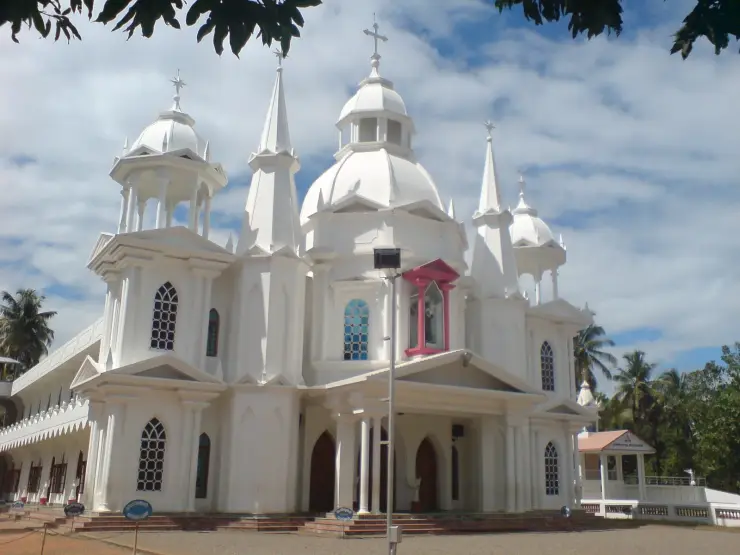
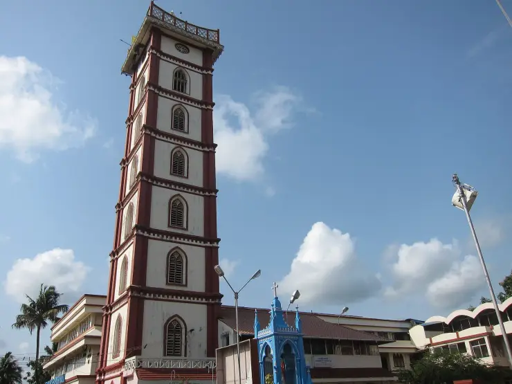
Get the geography right first, because almost every account of Kanakamala collapses two places into one. At the bottom, at roughly 30 metres above sea level and reached by a tarred road, sits the parish church, with its cemetery, parish hall and a marked-out parking area beside it. The post office and the government homoeopathy hospital are on the same short stretch of road, a few dozen metres from the church door. The shrine that gives the hill its name is not there. It is 771 metres away in a straight line, on a bearing of 077°, at the top of the hill at about 310 metres. Between the two runs the pilgrim path, and everything that matters about a visit happens on it.
That path is mapped, and the numbers are worth having before you set out. It is 1,039 metres long. It leaves the churchyard at about 37 metres, is at 74 metres by the 220-metre mark, 155 metres by 430, 237 metres by 684 and 314 metres by the time the summit shrine is in front of you. There is no flat section and no false summit; it simply climbs, and the steepest run is the middle third, where it gains close to 40 metres of height for every hundred metres you walk. OpenStreetMap grades it mountain_hiking with good visibility, which is mapper’s shorthand for a real hill path rather than a stepped and railed pilgrim stair. No motor road reaches the top.
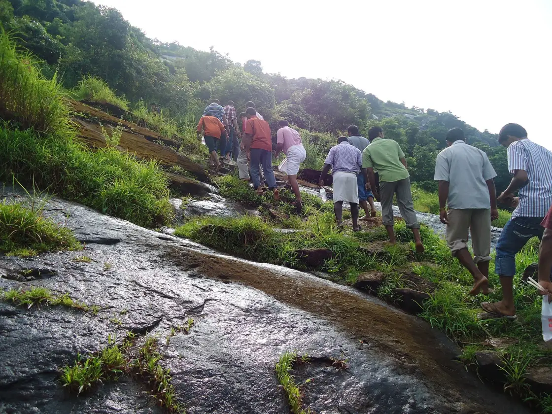
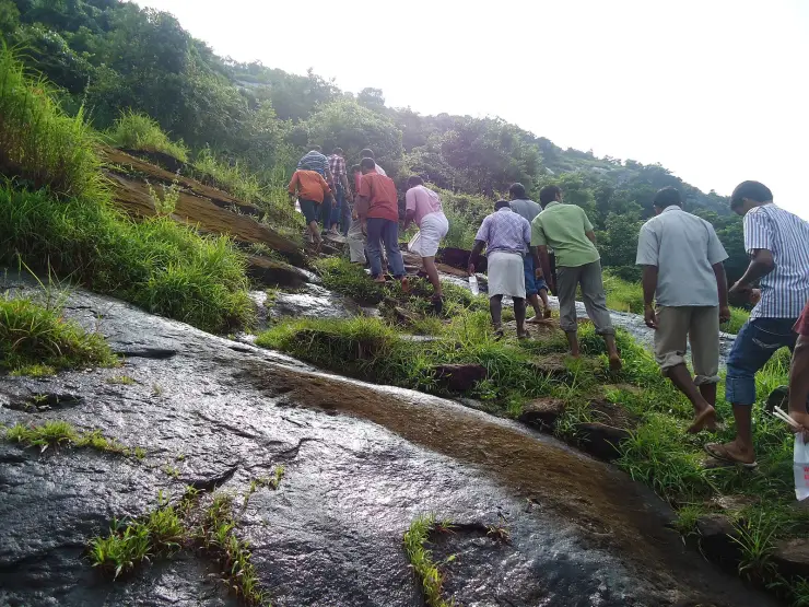
The surface is the thing nobody warns you about. Much of the upper climb is bare gneissic sheet rock, tilted and scoured smooth, with tussocks of grass rooted in the cracks and low scrub and small trees along the crest. In the dry months it grips well and the exposed stone throws heat back at you. After rain the same rock is slick, and the photograph on Commons of pilgrims going up in September shows the sheet glistening and the group picking a line along the grassy seams rather than straight up the slab. Barefoot ascent is a common act of penance here, and it is worth knowing that the barefoot pilgrims ahead of you are walking on hot or wet rock, not on paving.
Fourteen crosses mark the way. They are the Stations of the Cross, the standard Catholic devotion of fourteen moments in Christ’s Passion, laid out along the ascent so that the climb becomes the meditation — the same device used on pilgrim hills across the Catholic world and on at least two others in Kerala. The first station is at the foot, on the flat ground under the trees before the slope begins: a plain white-painted concrete cross on a black plinth, with room around it for a group to stand. Pilgrims gather there, pray, and quite often leave their sandals at its base before starting up.
The belief attached to the top is specific and it is worth stating exactly as Malayalam sources state it: that whoever climbs past all fourteen crosses and prays at the chapel on the summit will have the sins they have committed wiped away. It is not a claim about ancient miracles and it is not tied to a relic. It is about the completed act — the fourteen, then the prayer, in that order — which is why local usage treats the ascent itself, rather than the building at the top, as the pilgrimage.
April is when the hill is busiest, and the reason is Holy Week. English sources describe Kanakamala as a place of pilgrimage during Holy Week and particularly on Good Friday, and Easter falls in late March or April, which puts Good Friday and the days around it squarely in the month Malayalam sources name as the crowded one. There is an annual Kanakamala Perunnal that draws thousands. I could not establish its calendar date from any source I could reach, and I have not guessed one — see the FAQ, which says so.
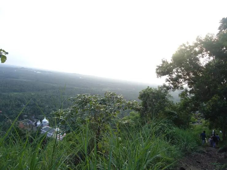
Outside the Perunnal it is a quiet hill, and quiet is most of its appeal. The view from partway up is the flat green Chalakudy plain running west to a hazy horizon — coconut, rubber and the scattered white of village houses — with the parish church directly below you, small enough to hold in a hand. Transmission towers cross the lower ground. The upper slopes are scrub and grass; the Mupliyam Model Forest Station at Chungal is two kilometres north, and forest cover picks up again in that direction.
Administratively the place sits in a slightly confusing spot, and it is better to explain that than to tidy it away. Kanakamala is ward 7 of Kodakara grama panchayat, in Chalakudy taluk, Thrissur district. Its postcode is 680689. A reverse geocode of the church will return Kodakara, because Kodakara is the panchayat town and is only 5.6 km away by road; Chalakudy is the taluk headquarters, the nearest railway station and the town most visitors will actually be coming from, 8.0 km by road. Both are correct answers to different questions.
The settlement around the church is small and largely institutional. Besides the church, the post office and the homoeopathy hospital, there is a primary aided school that dates from 1940, an adoration convent, and an ashram called Akasaparavakal — literally the birds of the sky — which is a charitable institution for orphans. The diocesan website recorded the parish population as 2,250 in October 2013. This is a village of a couple of thousand people that happens to have a pilgrim hill behind it, and on most days of the year it behaves like one.
Finally, be careful with the name in a search engine. There are at least three places in Kerala called Kanakamala — this one in Thrissur, a laterite hill at Peringathur in Kannur, and a locality in Chithara panchayat in Kollam. They get mixed up constantly, including on Wikimedia Commons, where two bird photographs taken at the Kannur hill sit in the same category as the photographs of this one, and one of them is additionally filed under Birds of Thrissur district. If a source about Kanakamala does not tell you which district it means, it is not telling you anything.
The origin story of this pilgrimage is a dream, and unusually for a Kerala hill it comes with a name and a year. In 1940 Fr Anthappan Valiyaveettil, then vicar of St Antony’s Church at Perambra — a large white church with a central dome and flanking towers, 2.85 km west of the hill and in the neighbouring ward of the same panchayat — is said to have seen a place in a dream. He went looking for it, decided that Kanakamala was the hill he had been shown, and began leading people up it. That is the founding act. The parish church at the foot came three years later, in 1943, and it was dedicated not to St Thomas but to St Anthony of Padua, the patron of the priest’s own parish. The pilgrimage is older than the church it now starts from.
The reasoning he is credited with is as interesting as the dream, because it is an argument rather than a vision. St Thomas, in the tradition of the Kerala Christians, came ashore in AD 52 at Azhikode near Kodungallur. Kanakamala, the account runs, is the nearest hill to that landfall — and praying on hills was characteristic of Jesus and his disciples. Therefore the apostle would have come this way, and therefore this height was already holy before anyone thought to say so. It is a deduction built out of a map and a habit of scripture, and it is the reason a hill whose church honours St Anthony has a summit shrine that OpenStreetMap and the Malayalam Wikipedia both record under the name of St Thomas.
It is worth sitting with how recent all this is. Kerala is full of shrines whose beginnings dissolve into the fifth century or the ninth, and where the honest thing to write is that nobody knows. Kanakamala is the opposite case. We can name the man, name his parish, name the year, and name the reasoning — and the tradition is no less real for it. Within a single lifetime a farming hill above a small village became a place where thousands come to walk barefoot up bare rock in April. Watching a devotion acquire its shape inside living memory is rarer, and in some ways more instructive, than another undatable legend.
There is a legend I am refusing outright, and naming the refusal is the point. Malayattoor, 25.7 km south-east across the Periyar, has the great St Thomas story of this coast: the apostle fleeing hostile locals up the hill, drawing a cross on the summit rock and praying, and the villagers afterwards seeing a golden cross at the spot — which is how Kurisumudi got its name — together with the venerated rock said to carry his footprint. Those belong to Malayattoor. Our own Malayattoor page tells them. They do not belong to Kanakamala, and the pull to lend them across is strong precisely because both hills are called kurishumudi and both are St Thomas hills. Nothing I found attaches a footprint, an appearing cross or an apostolic visit as event to Kanakamala. What attaches to Kanakamala is a priest’s inference that the apostle would plausibly have passed nearby, which is a different kind of claim and a weaker one, and saying so is not a criticism of the devotion.
The name itself is the second temptation, and I am leaving it alone. Kanakamala means golden hill — kanakam is gold. On a hill whose great neighbour is famous for a golden cross that appeared out of nowhere, that is an almost irresistible invitation to write a sentence connecting the two. No source I could reach explains why this hill is called golden: not the Malayalam Wikipedia article on the church, not the Kodakara panchayat article, not the Chalakudy article, not the English article on the village. It may be laterite colour, it may be a personal or family name, it may be something recorded only in a parish register. Until somebody produces the reason, the honest position is that the name is unexplained and that its resemblance to the Malayattoor legend is a coincidence we should not tidy into a story.
The third temptation is the wrong district. Search for Kanakamala legends in Malayalam and you will meet a genuinely old story — a Sufi traveller who came from Kufa in about AD 824 and based himself at Kanakamala, remembered in the accounts around Peringathur. That is the Kannur Kanakamala, a laterite hill some two hundred and fifty kilometres up the coast, and it has nothing to do with this one. It is a good story and it belongs to Thalassery’s country, not to Chalakudy’s. Anything you read about Kanakamala that does not name its district should be assumed to be about a different hill until it proves otherwise.
And now the blank, stated plainly, because a hill with a pilgrimage on it almost always carries an older layer and its absence here needs evidence rather than silence. I searched the Malayalam for കനകമല on its own and paired with ഐതിഹ്യം, ക്ഷേത്രം, ചരിത്രം, കുരിശുമുടി, പെരുന്നാൾ and തീർത്ഥാടനം; I read the Malayalam articles on the Kanakamala church, on Kodakara grama panchayat — which is the administrative level up, where the local lore usually sits — on the Kodakara forane church and on Chalakudy itself; I read the English article on the village and the one on Kodakara; and I checked what OpenStreetMap holds within two and a half kilometres of the summit. The panchayat article lists fourteen Hindu temples in Kodakara by name and puts Kanakamala Kurishumudi among the four principal non-Hindu places of worship. Not one of those sources records a temple, a kavu, a deity, a rock, a spring or a story on this hill before 1940.
I do not think that blank is a search failure, and I will say why rather than leave it hanging. Two things stand behind it. The nearest hilltop with a pre-Christian tradition is Aareshwaram, 1.7 km north, whose ritual is well attested and well recorded — so the sources plainly do cover hill traditions in this exact patch of country when there is one to cover, and they simply say nothing about Kanakamala. And the founding account itself, which comes from within the devotion and therefore has every incentive to claim ancient standing, does not claim any: it rests on a dream and a map argument, not on a takeover of an older sacred site. Set against that, a hill that was forest, grazing and rock until a parish priest in the next village had a dream is entirely credible. If a reader knows differently — a Malayalam parish history, an older name for the rock, a family tradition — that correction is welcome and we will print it.
The recorded history of Kanakamala as a place of pilgrimage begins in 1940, when Fr Anthappan Valiyaveettil, vicar of St Antony’s Church at Perambra, started leading people up the hill. The same year is given for the founding of the primary aided school in the village, which makes 1940 the year the settlement acquired both its school and its reason to be visited. The single published source for the pilgrimage’s beginning is the parish entry on the Diocese of Irinjalakuda website, cited through the English Wikipedia article; that page is now dead and survives only as an archived copy made in March 2016, which I was unable to open directly.
The church at the foot was established in 1943 and dedicated to St Anthony of Padua. It is a Syro-Malabar parish, one of seventeen under St Joseph’s Forane Church at Kodakara, in the Diocese of Irinjalakuda, which sits within the Thrissur metropolitan province. The summit shrine is recorded separately and under a different patron — St Thomas — which is why the place answers to two saints depending on which building you mean, and why the Malayalam Wikipedia article carries St Antony’s name in its title and St Thomas’s in its first sentence.
The village grew the ordinary institutions around the church over the following decades. A government homoeopathy hospital was established in the 1980s and inaugurated by the then Chief Minister of Kerala — the source does not name which, and I have not guessed. There is an adoration convent and the Akasaparavakal ashram, a charitable institution for orphans. In October 2013 the diocesan website put the parish population at 2,250. In 2014 the pilgrimage was marked as reaching seventy-five years, its platinum jubilee, though that sits a year out from a 1940 start and one of the two figures must be loose.
Two elevation figures for the hill are in circulation and they do not agree. The English Wikipedia article says 1,000 feet above sea level. The Malayalam article on the church says 1,269 feet, sourced to the parish’s own website, which has since gone offline. Sampling public digital elevation models at the summit gives 316 m from SRTM and 285 m from ASTER — that is 935 to 1,037 feet, which brackets the 1,000-foot figure and leaves the 1,269-foot figure about 70 metres too high. This page uses about 310 metres for the shrine and prints both published figures rather than picking a winner.
One further claim needs to be handled and not repeated. The Malayalam Wikipedia article on the church ends with a sentence saying the Catholic Church has declared Kanakamala an international pilgrimage centre. That sentence carries no citation; the article’s only reference supports the elevation figure and points at the now-dead parish site; and the same article is filed in the category for churches of Ernakulam district and carries the Ernakulam navigation box, although its own infobox says Thrissur. The shrine on this coast that does hold a Vatican designation is Malayattoor, declared by the Congregation for the Clergy and announced in Kochi on 11 February 2004, the first in India — as our Malayattoor pages record in detail. Roampedia does not repeat the Kanakamala claim. If the parish holds a decree, we will print it the day we can read it.
The last piece of history here is administrative and quietly consequential for anyone navigating. Chalakudy taluk was created in 2013, and Kanakamala falls inside it as ward 7 of Kodakara grama panchayat. That is why the hill is a Chalakudy place with a Kodakara address, and why its access roads are signposted from both — the Mechira–Kanakamala Road from the east and north, the Chalakudy–Kanakamala Road from the south.
A measured, honest climb: 1,039 metres of path and about 280 metres of ascent, steep in the middle and on bare rock near the top.
Fourteen Stations of the Cross laid out along the ascent, with the first station on the flat ground below the slope.
A pilgrimage whose founder, year and reasoning are all known — a devotion you can watch take shape inside living memory.
A wide westward view over the Chalakudy coconut plain, with the parish church directly below you.
A far quieter alternative to Malayattoor, 25.7 km away, on any day that is not in Holy Week.
Easy to reach and easy to combine: 8.0 km by road from Chalakudy railway station, 5.6 km from Kodakara.
Road km to Thrissur; ghat roads and traffic vary — allow extra.
Morning or late afternoon for quieter visits and better light.
Live forecast loads in your browser.
Sun and moon are calculated for this location and shown in IST. Photography windows are the hour around sunrise and sunset; the sunset bearing is degrees clockwise from true north. Moon phase is accurate to about half a day.
Verified hotels, homestays, restaurants, experiences, sights, shops and rentals around Kanakamala Kurishumudi — commission-free, with direct contact. Filter by what you need.
Kerala Tourism approved tour operator in the heart of Chalakudy town, near the KSRTC bus stand and the gateway to the Athirappilly and Vazhachal waterfalls. It is a Government of India recognised operator handling domestic and international holiday packages, ticketing and visa support with a direct office phone and email.
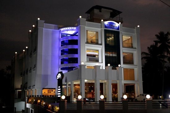
Hotel restaurant in Chalakkudy. Athirappilly Residency, Chalakkudy, Thrissur district, Kerala · Hotel restaurant.
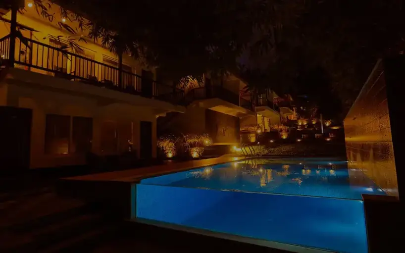
Athirapilly Green Trees Chalakudy is an Athirappilly-route resort at Pillappara/Vettilappara on Athirapally Road. Direct and Kerala Tourism sources list phone and email contacts, making it a stronger record than an OTA-only stay entry. Athirapilly, Athirappilly route resort.
Athirappilly Residency stay record at Chalakkudy for waterfall-route overnights. Chalakudy, Thrissur district, Kerala · Athirappilly, Chalakudy route hotel.
Chalakudy/Angamaly taxi operator with direct contact, address and Athirappilly transfer page. Chalakudy, Athirappilly taxi, Transfer.
Hydel Palace Hotel and Resorts at Vettilappara near the Chalakudy/Athirappilly route. Hydel, Chalakudy hotel.
Chalakkudy-to-Athirappilly transfer context for waterfall-route planning. Chalakudy / Athirappilly route, Kerala · Kerala, Taxi and tour transfer support.
Book with the place itself. India’s cyber-crime coordination centre warned in April 2025 that convincing copies of hotel and pilgrimage booking sites are being pushed through sponsored search and social ads, taking payment for rooms the property never hears about. Every listing here links to the business’s own contact details and its own Google or Bing profile — we take no commission and sit in nobody’s payment path. If a booking page reached you through an ad, check the address bar against the property’s own site before you pay. Fraud can be reported on cybercrime.gov.in or on 1930.
Find food, accommodation and activities across Chalakkudy. Browse the guides for places to eat, stay and explore along your route.
5 more places around Chalakkudy. Open a guide to plan the visit and onward journey.
A major Marian pilgrimage church at Koratty, widely known as Koratty Muthy, with ordinary visits requiring different planning from the October feast.
5.9 km · ~15 min by auto
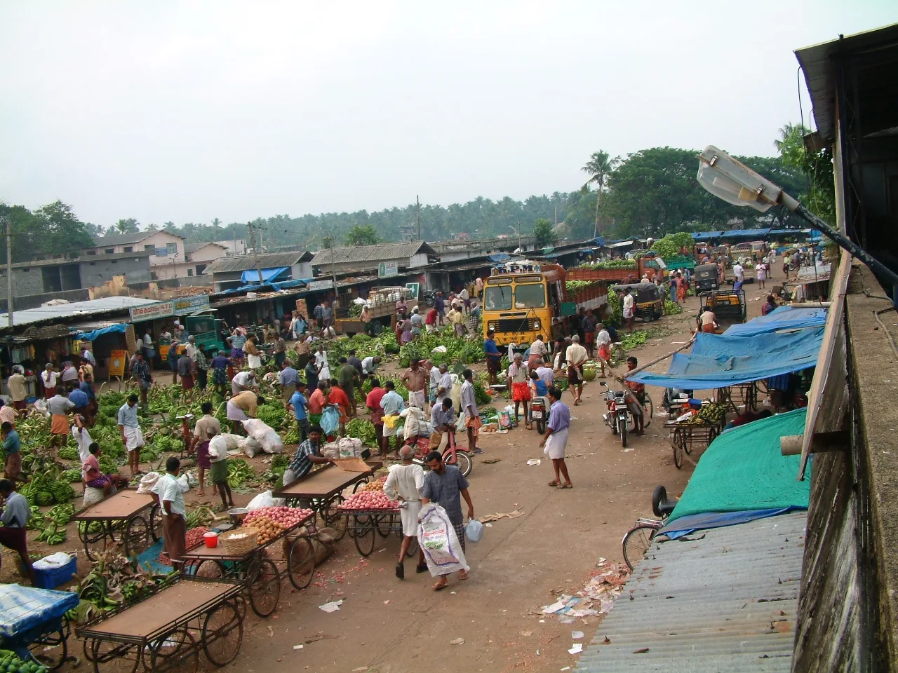
The town’s wholesale produce yard on Market Road, the oldest continuously working institution in Chalakkudy — a Sakthan Thampuran-era pandikasala that still holds its traditional Tuesday and Friday markets and takes hill produce down State Highway 21.
6.7 km · ~17 min by auto
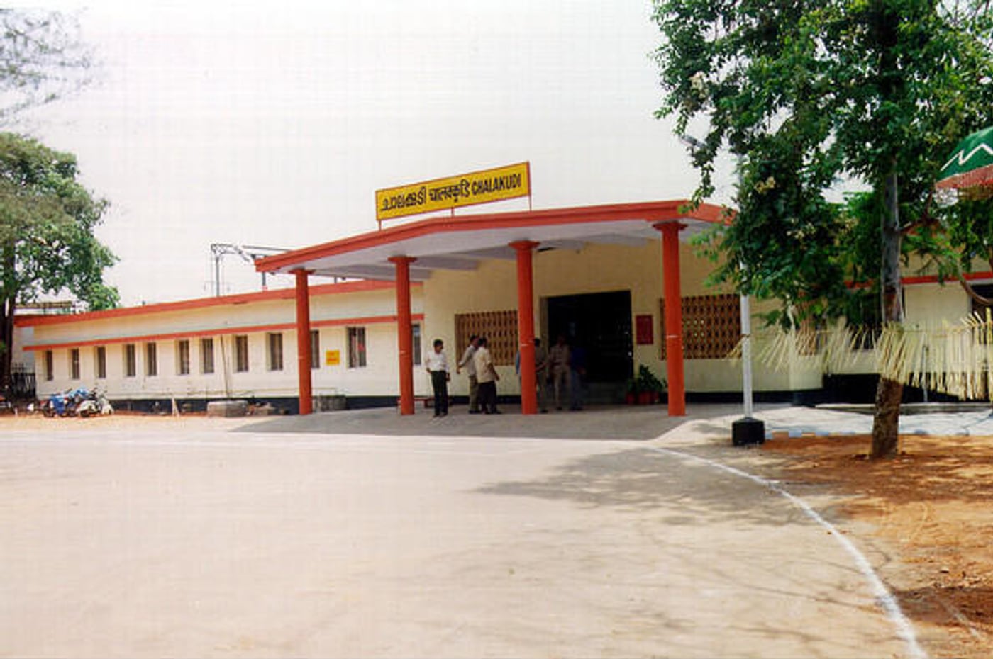
Chalakudi station, code CKI, on the Shoranur–Cochin Harbour section — the railhead the Cochin State Forest Tramway was extended to reach, and the transfer point for Athirappilly. About 1.4 km west of the highway, which catches most visitors out.
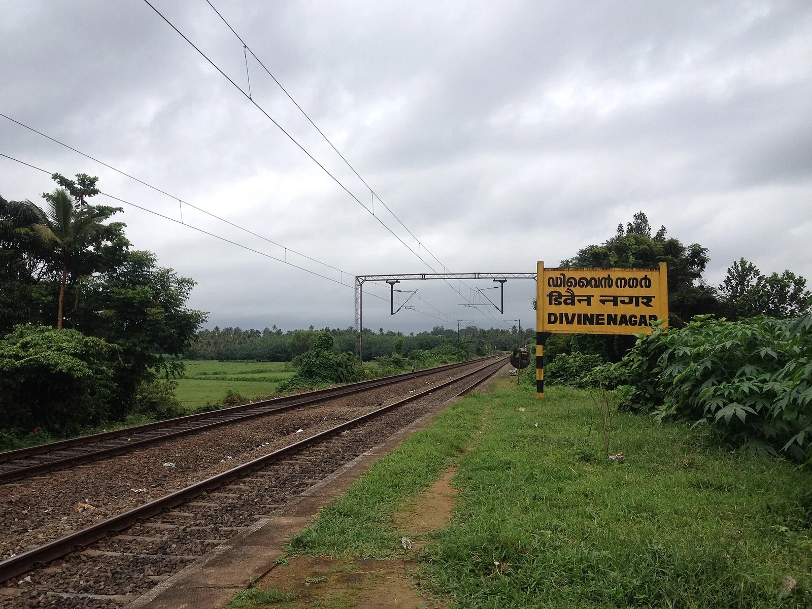
7.6 km · ~19 min by auto
The Vincentian Congregation’s residential retreat centre on NH 544 at Muringoor, which by its own account takes about five thousand people a week for a six-day retreat in seven languages and houses two thousand more in five charitable homes — on volume, the largest organised draw in Chalakkudy taluk after the falls. Indian Railways opened a halt called Divine Nagar for it in 1996.
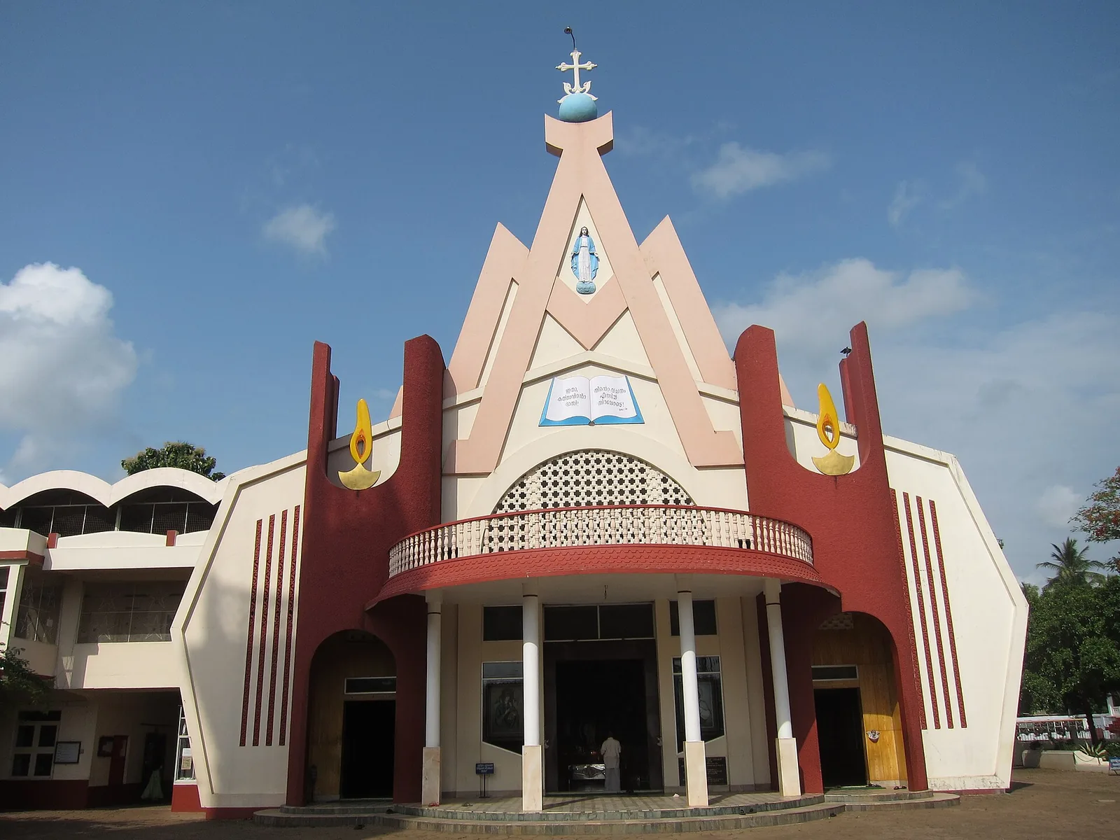
6.3 km · ~16 min by auto
St Mary’s Forane Church on Church Road, the Syro-Malabar forane that governs seventeen daughter parishes across the Chalakkudy countryside and keeps the ambu perunnal, the arrow feast the town observes across community lines. The present building was rebuilt in 1987; the belfry is 1913 and the bell 1887.
Roampedia is commission-free — own or know a stay, eatery, guide or shop near Kanakamala Kurishumudi? List it and it appears here once verified.
Add a nearby businessEntry: No entry fee. It is a working parish church and an open hillside; nothing is ticketed.
Chalakudy is the nearest railway station and the usual approach: 8.0 km by road, about 10 minutes by car. Kodakara is closer at 5.6 km and the reverse geocode of the church returns a Kodakara address, so a driver may well route you that way — the roads in are the Mechira–Kanakamala Road from the east and north and the Chalakudy–Kanakamala Road from the south, both signposted. Cochin International Airport at Nedumbassery is 33.1 km, about 36 minutes. Buses run to the village from both Chalakudy and Kodakara. Park at the church; the road goes no further.
If you are travelling by bus or ferry, check the return service with the operator before setting out. Leave time to reach the stop or jetty after your visit.
Ask at the bus stand for the time of the last service back, not the next one. If you miss it, an auto or app cab is the fallback — agree the fare before you get in.
If you need step-free access, contact the site before travelling. Ask about a level entrance, steps along the route, the nearest drop-off point, seating and accessible toilets.
These services are listed within about 1.2 km of Kanakamala Kurishumudi. Walking distances follow mapped routes; access and opening hours can change. Other services may be closer but are not included here.
Emergency numbers are verified against official government and state tourism sources. 112 works anywhere in India.
The town’s wholesale produce yard on Market Road, the oldest continuously working institution in Chalakkudy — a Sakthan Thampuran-era pandikasala that still holds its traditional Tuesday and Friday markets and takes hill produce down State Highway 21.
5.9 km · ~15 min by auto · straight lineSt Mary’s Forane Church on Church Road, the Syro-Malabar forane that governs seventeen daughter parishes across the Chalakkudy countryside and keeps the ambu perunnal, the arrow feast the town observes across community lines. The present building was rebuilt in 1987; the belfry is 1913 and the bell 1887.
6.3 km · ~16 min by auto · straight lineChalakudi station, code CKI, on the Shoranur–Cochin Harbour section — the railhead the Cochin State Forest Tramway was extended to reach, and the transfer point for Athirappilly. About 1.4 km west of the highway, which catches most visitors out.
6.7 km · ~17 min by auto · straight lineThe Vincentian Congregation’s residential retreat centre on NH 544 at Muringoor, which by its own account takes about five thousand people a week for a six-day retreat in seven languages and houses two thousand more in five charitable homes — on volume, the largest organised draw in Chalakkudy taluk after the falls. Indian Railways opened a halt called Divine Nagar for it in 1996.
7.6 km · ~19 min by auto · straight lineA longstanding Catholic pilgrimage church at Mapranam associated with the Holy Cross and annual feast observances.
12.8 km · ~21 min by cab · straight line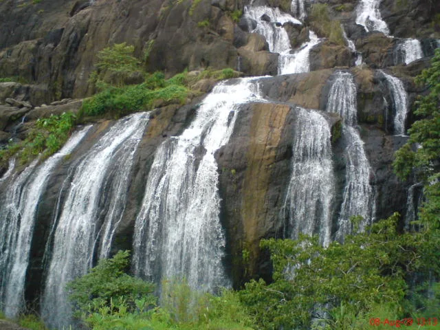
A forest waterfall and fish sanctuary near Marottichal in the hills east of Thrissur, reached by a short walk.
13.5 km · ~23 min by cab · straight line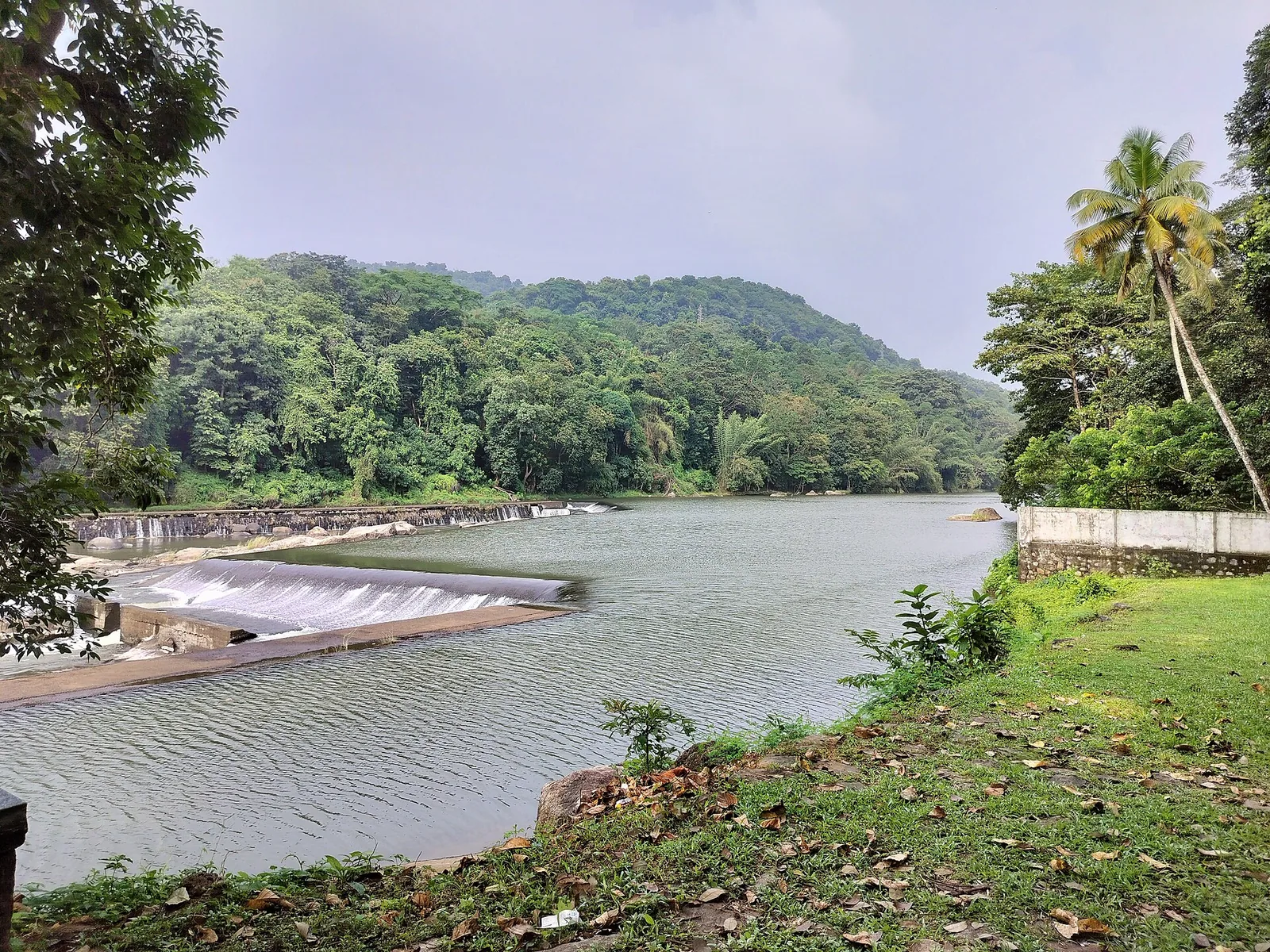
A check dam, hanging garden and butterfly garden on the Chalakudy river near Athirappilly, a popular picnic and day-trip stop.
13.9 km · ~23 min by cab · straight line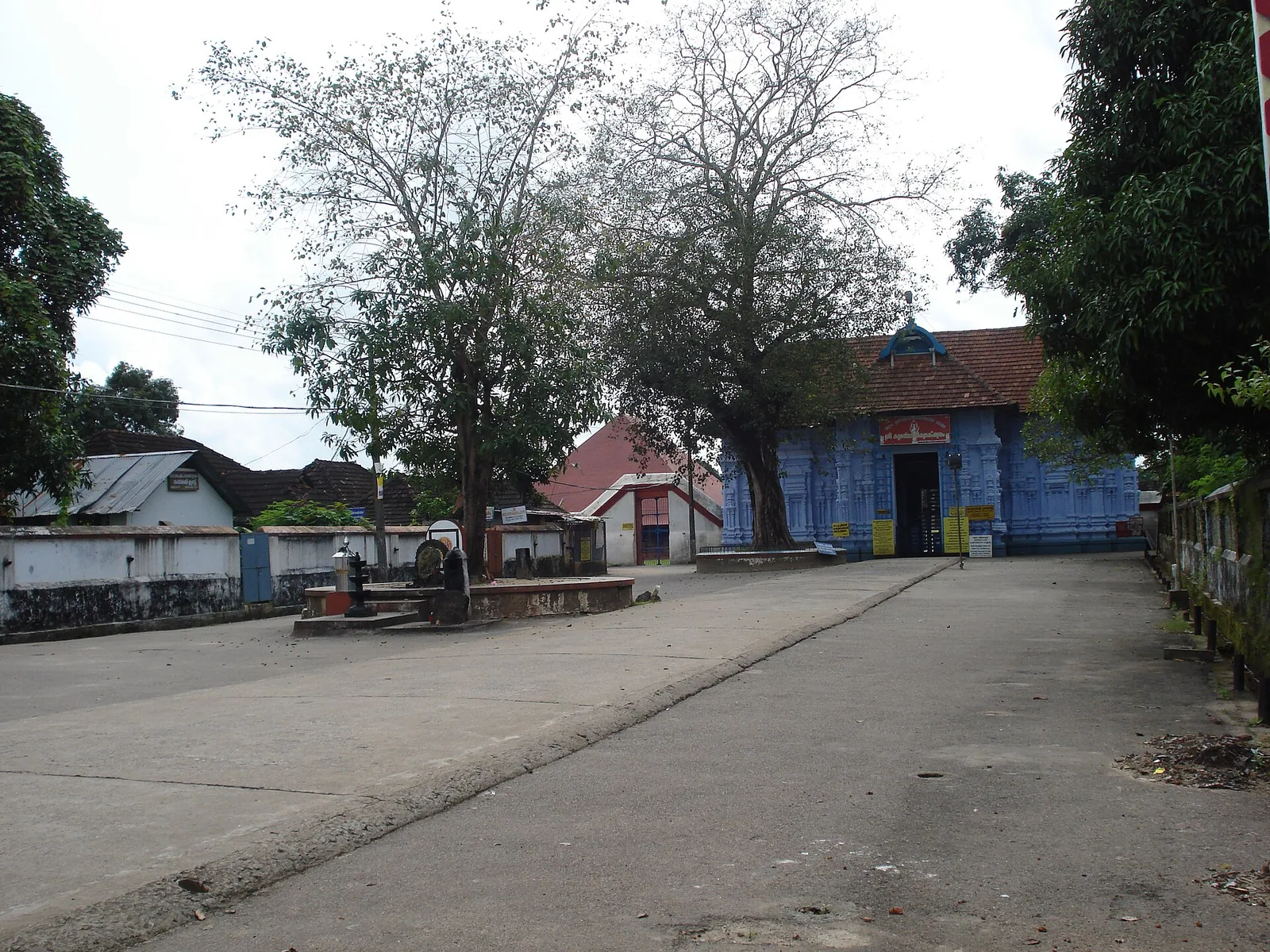
Rare temple at Irinjalakuda dedicated to Bharata, one of the Nalambalam (four-temple) Rama circuit shrines.
15.2 km · ~25 min by cab · straight line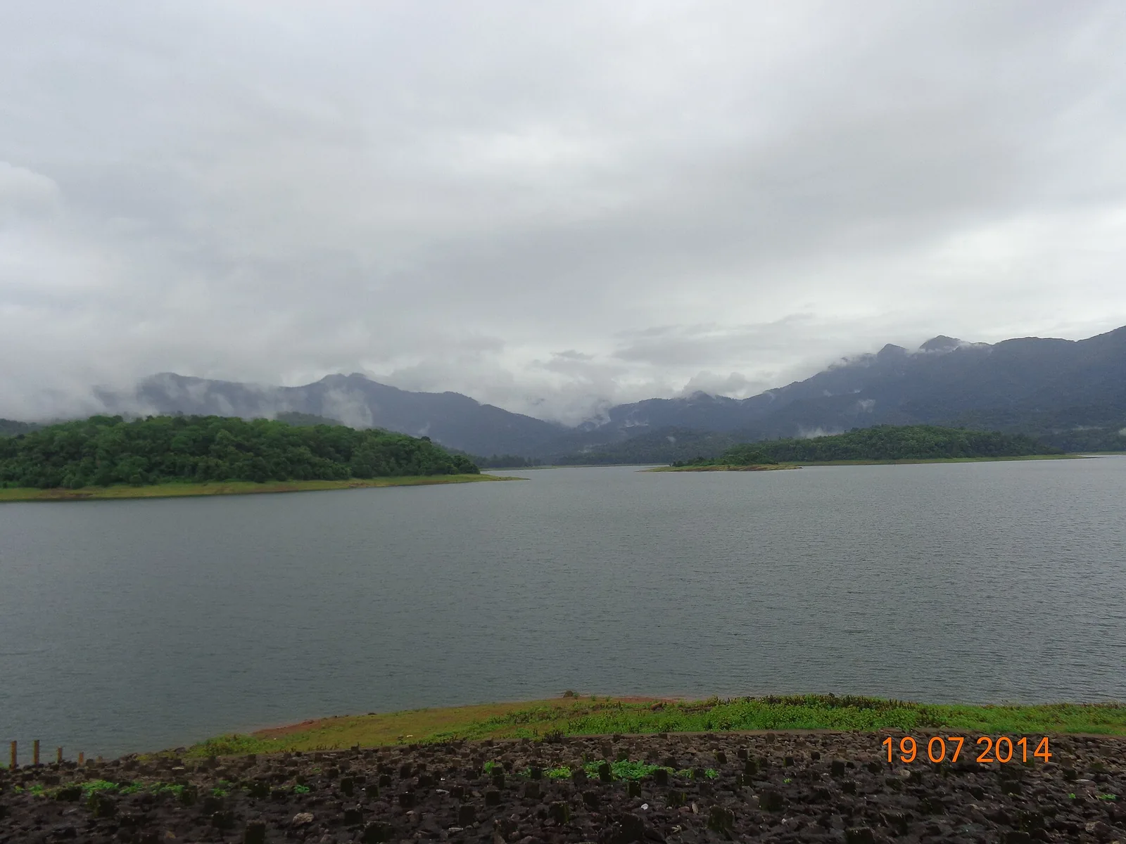
A reservoir and eco-tourism spot at the edge of the Chimmony Wildlife Sanctuary east of Thrissur, with boating and forest views.
15.7 km · ~26 min by cab · straight line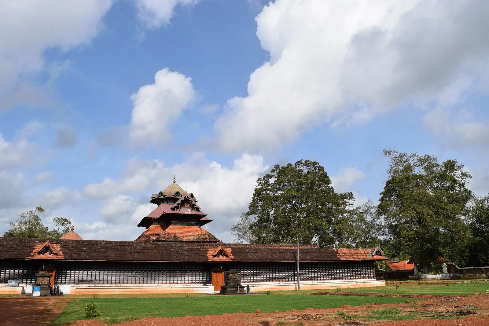
An ancient Shiva temple at Cherpu south of Thrissur, the ritual centre of the historic Peruvanam Pooram.
16.6 km · ~28 min by cab · straight line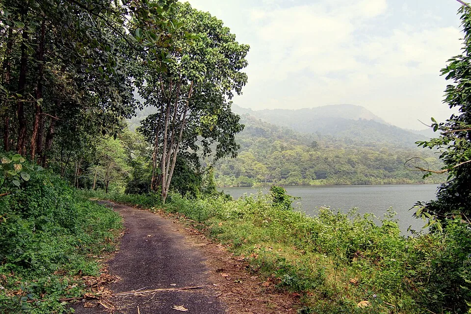
The official guided 5 km, roughly 3-hour forest route from Virakuthodu, one kilometre beyond the check post, to Choorathala inside Chimmony Wildlife Sanctuary.
17.4 km · ~29 min by cab · straight line
Reservoir and garden at the edge of the Peechi-Vazhani sanctuary, with boating, about 20 km east of Thrissur.
19.3 km · ~32 min by cab · straight lineNearby toilets, pharmacies, ATMs, seating and vets are community-mapped and may be incomplete or out of date. Map data © OpenStreetMap contributors | Walking times © openrouteservice.org by HeiGIT
The mapped pilgrim path is 1,039 m long and climbs from about 37 m at the church to about 314 m at the summit shrine — roughly 280 m of gain in a kilometre. There is no flat section. The middle third is the steepest, gaining close to 40 m of height per 100 m walked, and the upper part crosses bare sheet rock that is slick after rain and hot in the dry months. OpenStreetMap grades the path mountain_hiking, which means a genuine hill path rather than a stepped pilgrim stair. Most reasonably fit people will manage it; carry water and allow time.
No. The tarred road ends at the parish church at the foot, where there is a marked parking area, and the summit is reached on foot. No motor road to the top is mapped, and the only route recorded up the hill is the pilgrim path.
Holy Week. Kanakamala is described as a place of pilgrimage during Holy Week and particularly on Good Friday, and Easter falls in late March or April, which puts Good Friday in the month Malayalam sources name as the crowded one. There is also an annual Kanakamala Perunnal that draws thousands; we could not establish its calendar date from any source we could reach and have not guessed one. Check locally or with the parish.
Malayattoor is the bigger and far better known hill: a summit of around 609 m, a longer climb, an eight-day Perunnal around the Sunday after Easter, and an International Shrine designation announced on 11 February 2004, the first in India. Kanakamala’s summit is about 310 m and its path is a kilometre; it has no comparable designation and no comparable crowd. Local usage genuinely ranks the two together as kurishumudis. If you want the great pilgrimage, go to Malayattoor. If you want the same devotion without the numbers, come here.
Both names are in use, for two different buildings. The parish church at the foot was established in 1943 and is dedicated to St Anthony of Padua. The shrine on the summit is recorded under the name of St Thomas the Apostle, in line with the founding belief that the apostle passed this way. The parish belongs to the Kodakara Forane in the Syro-Malabar Diocese of Irinjalakuda.
None that we could find, and we looked properly — in Malayalam as well as English, and at the panchayat article as well as the village one, because local lore usually sits one administrative level up. No temple, kavu, deity, rock or story on this hill is recorded before 1940. The devotion here begins with Fr Anthappan Valiyaveettil’s dream in that year, and the founding account itself makes no claim to an older site. If you know a Malayalam parish history or a family tradition that says otherwise, we would like to hear it.
No. There are at least three Kanakamalas in Kerala: this hill in Thrissur district, a laterite hill at Peringathur in Kannur district, and a locality in Chithara panchayat in Kollam district. The Kannur one carries an unrelated tradition about a Sufi traveller from Kufa around AD 824. They are confused constantly online — including in the photograph categories on Wikimedia Commons — so check the district before trusting anything you read.
Morning or late afternoon for quieter visits and better light.
Entry: No entry fee. It is a working parish church and an open hillside; nothing is ticketed. Timings: The hillside and the path are open ground with no gate and no posted hours; most people climb early morning or late afternoon to avoid the heat on the exposed rock. Mass and opening times at the parish church at the foot are not published anywhere we could verify — confirm locally.
Base yourself in Chalakkudy or a nearby town in Thrissur, then confirm the last-mile route locally before leaving. Check mass/prayer timings if visiting for worship; otherwise visit outside service rush. If the visit depends on forest, temple, boat, ferry, weather or seasonal access, check the official/local rule on the day before travel.
30 minutes to 1.5 hours.
Nearby you can pair Chalakudy Market (5.9 km), Chalakkudy Forane Church (6.3 km), Chalakkudy railway station (6.7 km), Muringoor Divine Retreat Centre (7.6 km).
Expect crowds on feast days and Sundays. Use marked parking and official entry points.
Written about Kanakamala Kurishumudi itself — its history, its legends and the arguments about them.
These guides explore Chalakkudy and the surrounding area. Choose a visit that fits your interests, allowing separately for travel between stops.


Route-level itineraries and practical guides for the rest of Kerala.
Photographs: Anoopdesigns (CC BY-SA 3.0), ajithjohny333, Wikimedia Commons (CC BY 3.0) (CC BY 3.0). Wikimedia Commons.