What to expect
Highlights
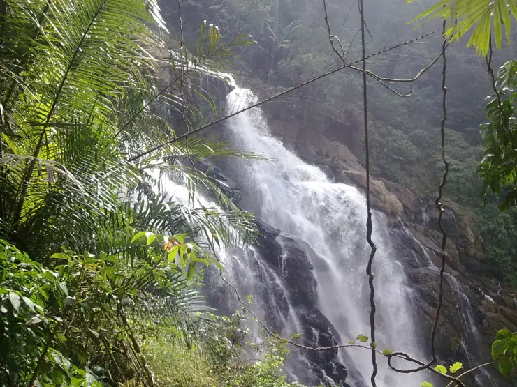
- Waterfall viewpoint at Chethalayam Falls
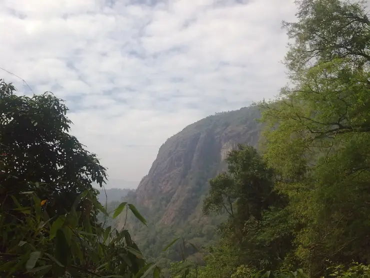
- Forest-edge scenery
- Short walks, food stops or nearby viewpoints where available
Seasonal waterfall near Sulthan Bathery, best treated as a quiet nature stop with access checked before travel.
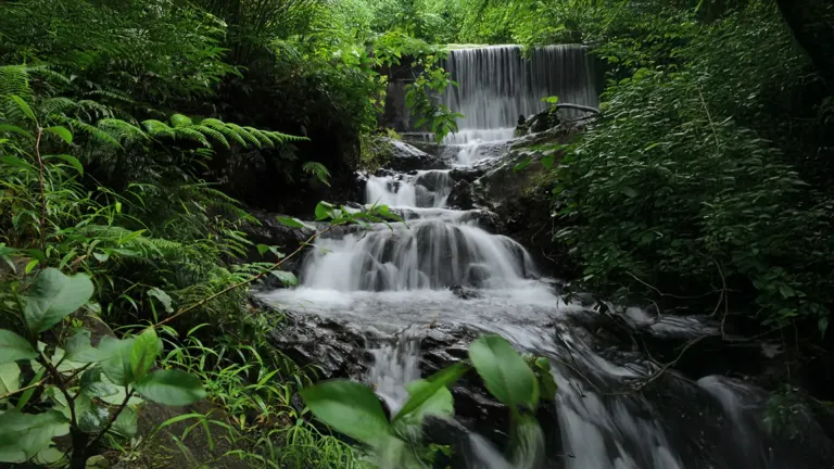
Chethalayam is a seasonal waterfall whose appeal depends on both recent rain and an authorised approach.
Kerala Tourism identifies Chethalayam as a waterfall near Sulthan Bathery. Its seasonal character matters: the water in a monsoon photograph cannot be promised during a dry spell. Forest scenery around the cascade is part of the attraction, but an old description of a trek does not establish that the route is currently open.
Before leaving Bathery, establish the current permitted access and the reporting point with the Forest Department or local tourism office. If access is unavailable, keep the day for another managed visitor site. Plan the return journey before entering an area with limited onward transport.
Road km to Wayanad; ghat roads and traffic vary — allow extra.
Post-monsoon is usually strongest; dry months are easier for access but water volume may be lower.
Live forecast loads in your browser.
Check the official alert before you travel. Kerala’s beaches, waterfalls and trekking routes close at short notice during heavy rain, and district alert levels change day to day. We do not publish an alert level of our own — read it from the state authority: Kerala State Disaster Management Authority, or the district control room on 1077.
Sun and moon are calculated for this location and shown in IST. Photography windows are the hour around sunrise and sunset; the sunset bearing is degrees clockwise from true north. Moon phase is accurate to about half a day.
These are official or public-sector eco offerings that match this place, town or forest destination. Confirm availability, permits, tariffs and reporting times with the official operator before travel.
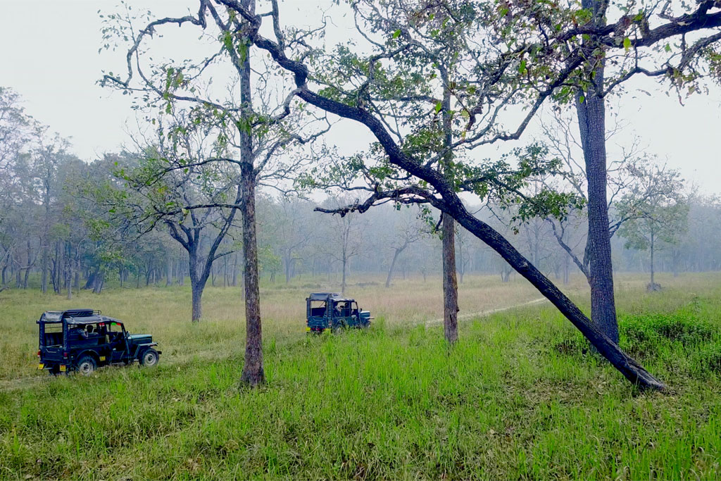
Two-hour forest-department jeep safari in the Muthanga tourist zone, with morning and evening slots and separate jeep hire.
Official source →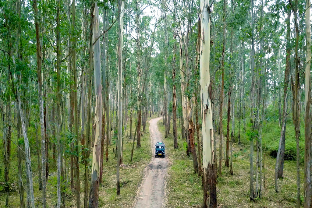
Forest Wood House / Serambi accommodation at Muthanga for small groups, listed on the official ecotourism programme page.
Official source →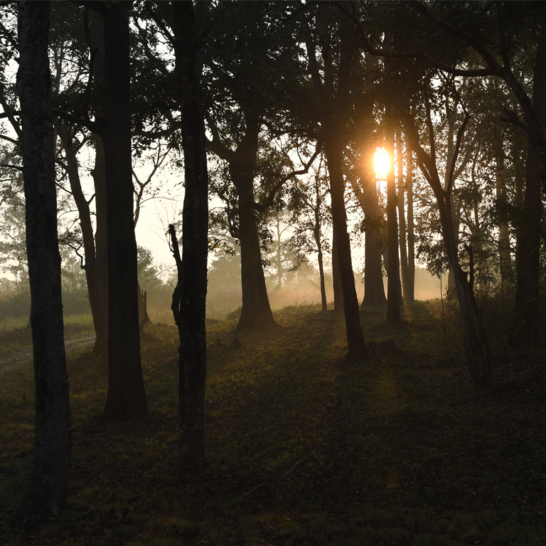
Large forest-department dormitory accommodation at Muthanga, useful for budget wildlife travellers and groups.
Official source →Verified hotels, homestays, restaurants, experiences, sights, shops and rentals around Chethalayam Falls — commission-free, with direct contact. Filter by what you need.
The multi-cuisine restaurant of the Le Sapphire hotel — a sourced town-centre meal stop between the bus stands and the Mysuru road.
Main-road restaurant and cafe stop in the middle of Sulthan Bathery — a practical meal between the Edakkal, Jain temple and Muthanga legs.
Sulthan Bathery restaurant with direct take-away and reservation contact — a dependable town food stop on the Edakkal and Muthanga circuit.
Long-running Main Road eatery serving Malabar biryanis and curries since 1996. It is billed as Kerala's first Halal-certified restaurant.
Multi-cuisine family restaurant at Chungam in Sulthan Bathery town. Part of a three-star hotel, it plates local specialities alongside international dishes.
Longstanding bakery at Chungam known for cakes, pastries and Malabar snacks. It has served Sulthan Bathery town since 2008.
Book with the place itself. India’s cyber-crime coordination centre warned in April 2025 that convincing copies of hotel and pilgrimage booking sites are being pushed through sponsored search and social ads, taking payment for rooms the property never hears about. Every listing here links to the business’s own contact details and its own Google or Bing profile — we take no commission and sit in nobody’s payment path. If a booking page reached you through an ad, check the address bar against the property’s own site before you pay. Fraud can be reported on cybercrime.gov.in or on 1930.
Find food, accommodation and activities across Sulthan Bathery. Browse the guides for places to eat, stay and explore along your route.
8 more places around Sulthan Bathery. Open a guide to plan the visit and onward journey.
13.1 km · ~22 min by cab
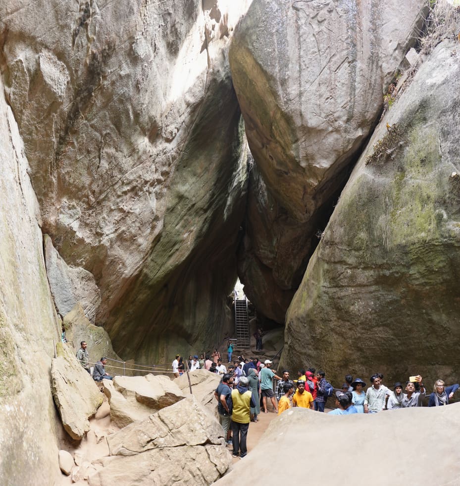
Not a cave but a cleft — a boulder wedged over a rift high on Ambukuthi, its walls scratched with petroglyphs that scholars have argued over since the 1890s. Park at the road head 12 km from town, buy the ticket and climb early: the site caps its crowds and the queue builds by mid-morning.
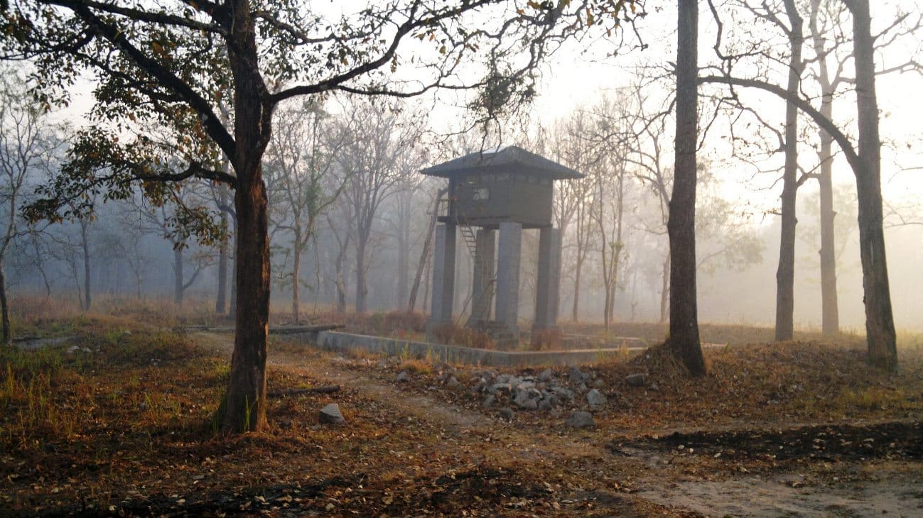
16.6 km · ~28 min by cab
Kerala’s second-largest sanctuary, 344 square kilometres of teak and bamboo joining Bandipur, Nagarhole and Mudumalai — from the Bathery side you enter at the Muthanga gate, 14 km east. Notified in 1973, elephant country to the road’s edge, and the reason the highway closes at night.
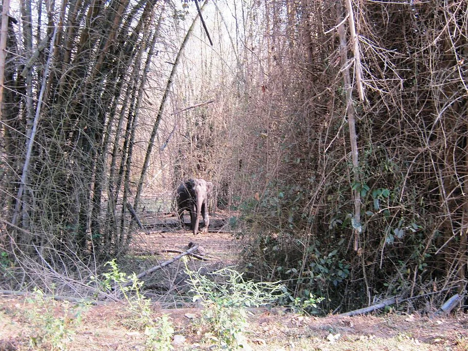
16.6 km · ~28 min by cab
The southern gate of Wayanad Wildlife Sanctuary, 14 km east on the Mysuru highway — the eco-tourism counter at the entrance runs a morning and an afternoon safari session, and the counter opens well before the drive. Elephants, gaur and deer are the honest expectation; the tiger is luck.
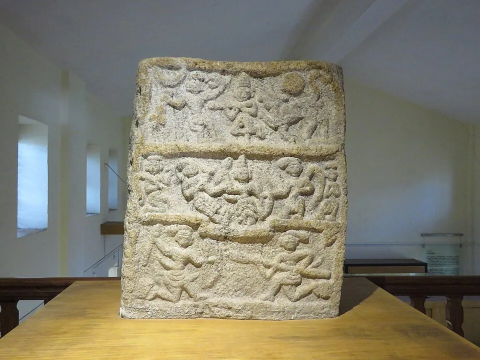
14.7 km · ~24 min by cab
Four small galleries at Ambalavayal, 11 km south, holding what east Wayanad’s fields keep turning up — hero stones carved for men who died fighting battles and beasts, megalithic burial finds, Adivasi working kit. The natural second stop on an Edakkal day.
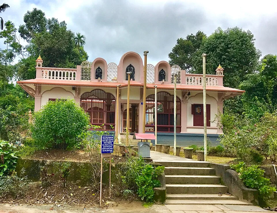
20.4 km · ~34 min by cab
The Anantnath Swami temple at Puliyarmala near Kalpetta — the quieter, living Jain shrine of Wayanad, often paired with the conserved basti at Sulthan Bathery.
9.9 km · ~17 min by cab
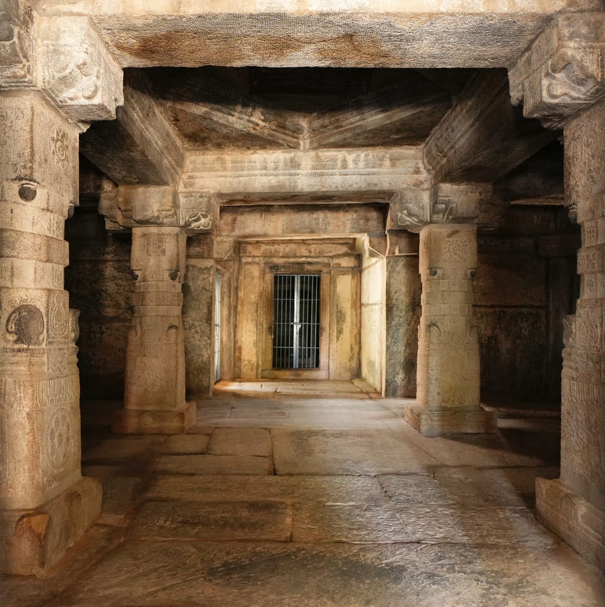
The thirteenth-century granite basti at Kidanganad that gave the town its name — a shrine, then a trade depot, then Tipu Sultan’s ammunition store, the Sultan’s battery. ASI-protected, deliberately empty of image and festival, and the one sight in Bathery you can walk to, 1.4 km from the centre.
9.0 km · ~15 min by cab
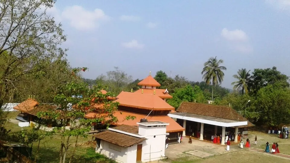
The anchor of Wayanad’s Ramayana country at Pulpally, 26 km north-east — local tradition places Sita’s forest exile and her twin sons Lava and Kusha here, and the temple carries the story. A half-day extension into the quiet north-east rather than a quick stop.
12.9 km · ~22 min by cab
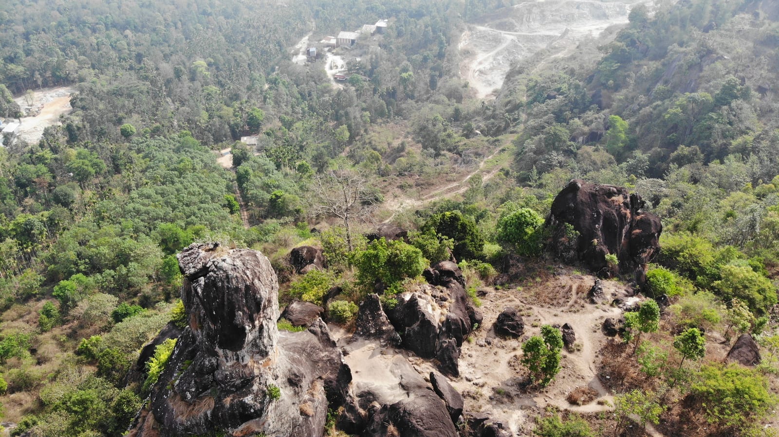
The skull-shaped tor the locals call Cheengeri Mala, nine kilometres out toward Ambalavayal — a short walk from the road, a quiet half-hour, and the natural filler between the town, the museum and Edakkal on a caves day.
Roampedia is commission-free — own or know a stay, eatery, guide or shop near Chethalayam Falls? List it and it appears here once verified.
Add a nearby businessPermit: Current forest access is not confirmed here. Check with the Forest Department or DTPC before attempting the approach.
Arrange a return ride before starting any permitted walk. Do not rely on finding transport at the waterfall.
If you need step-free access, contact the site before travelling. Ask about a level entrance, steps along the route, the nearest drop-off point, seating and accessible toilets.
Emergency numbers are verified against official government and state tourism sources. 112 works anywhere in India.
Pulpally-side temple with Ramayana-linked local tradition, usually planned as a north/east-Wayanad extension.
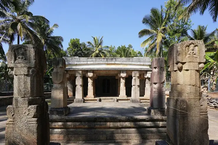
9.0 km · ~15 min by cab · straight lineSulthan Bathery Jain temple with old stone architecture and east-Wayanad heritage context.
9.9 km · ~17 min by cab · straight lineA natural rock formation near Ambalavayal that resembles a human skull, locally called Cheengeri Mala, reached by a short walk and popular as an eastern-Wayanad viewpoint stop.
12.9 km · ~22 min by cab · straight lineRock shelter with ancient petroglyphs and a steep Ambukuthi hill walk, best planned from Sulthan Bathery or Ambalavayal.
13.1 km · ~22 min by cab · straight lineAmbalavayal museum focused on Wayanad archaeology, tribal history and heritage artefacts.
14.7 km · ~24 min by cab · straight line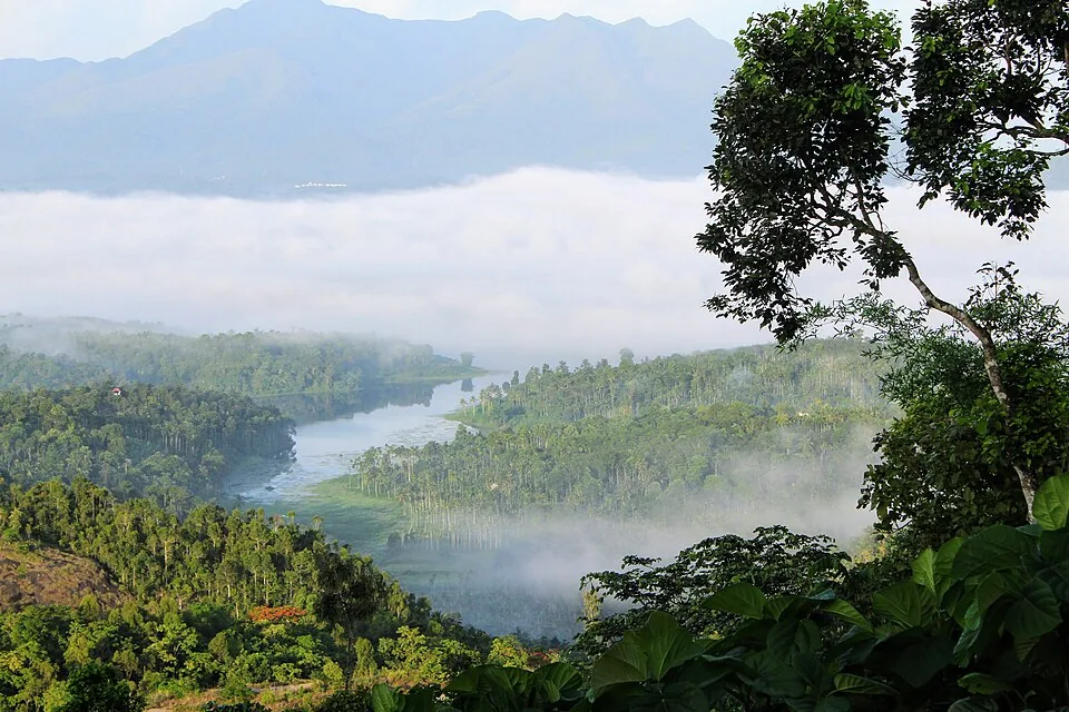
Reservoir and garden-side attraction near the Ambalavayal/Kalpetta side of Wayanad.
16.4 km · ~27 min by cab · straight lineForest reserve around Muthanga and Tholpetty, part of the Nilgiri Biosphere landscape.
16.6 km · ~28 min by cab · straight lineEastern Wayanad wildlife zone usually planned from Sulthan Bathery with official safari and access checks.
16.6 km · ~28 min by cab · straight line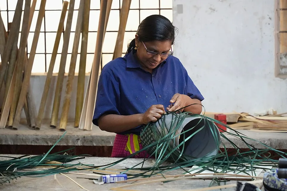
Thrikkaipatta bamboo craft and responsible-tourism village experience, useful from the Vythiri/Lakkidi side.
19.3 km · ~32 min by cab · straight lineThe Anantnath Swami temple at Puliyarmala near Kalpetta — the quieter, living Jain shrine of Wayanad, often paired with the conserved basti at Sulthan Bathery.
20.4 km · ~34 min by cab · straight line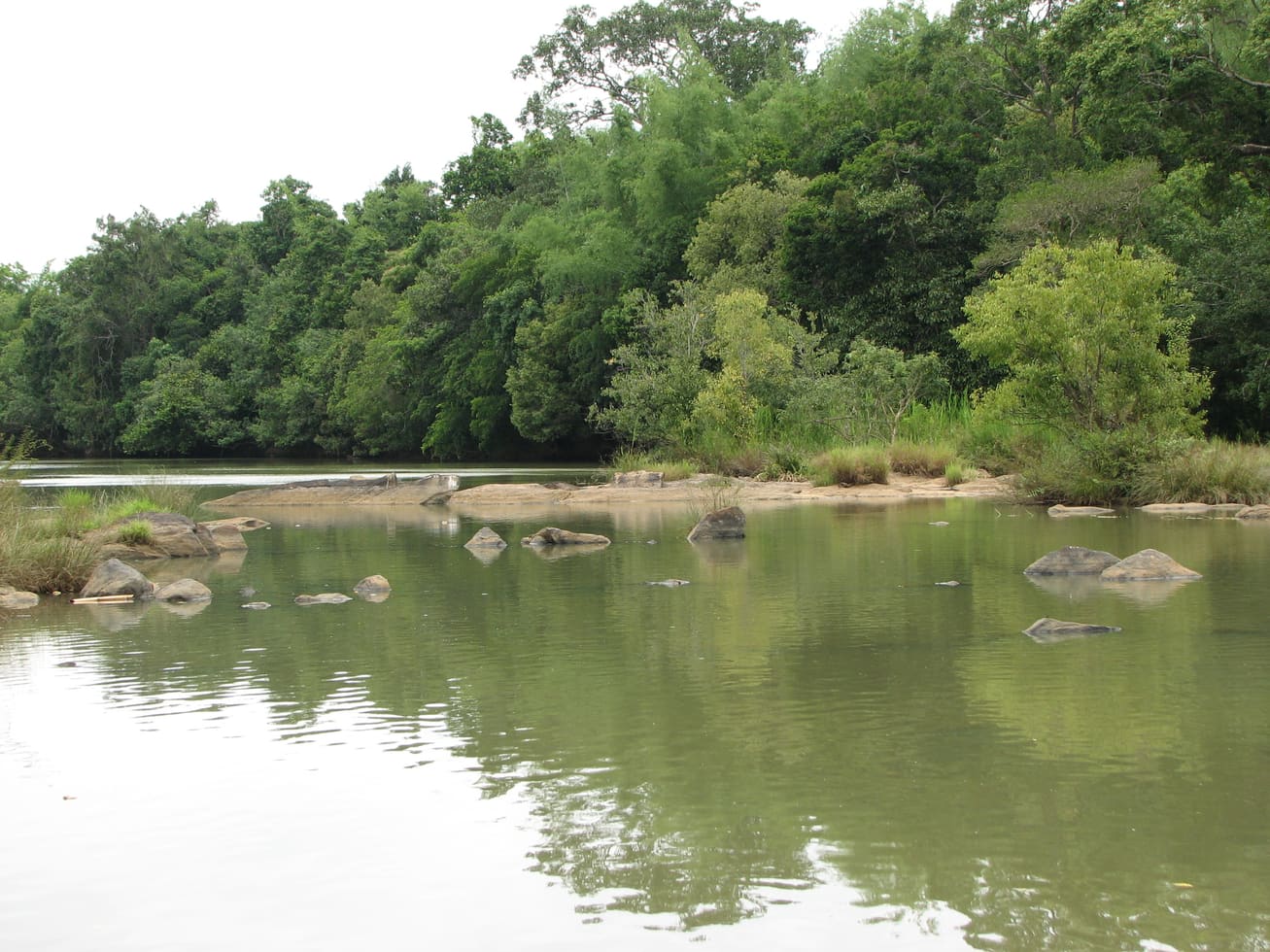
Protected river-island eco-tourism area on the Mananthavady/Pulpally side, with seasonal and capacity-based access restrictions.
21.0 km · ~35 min by cab · straight line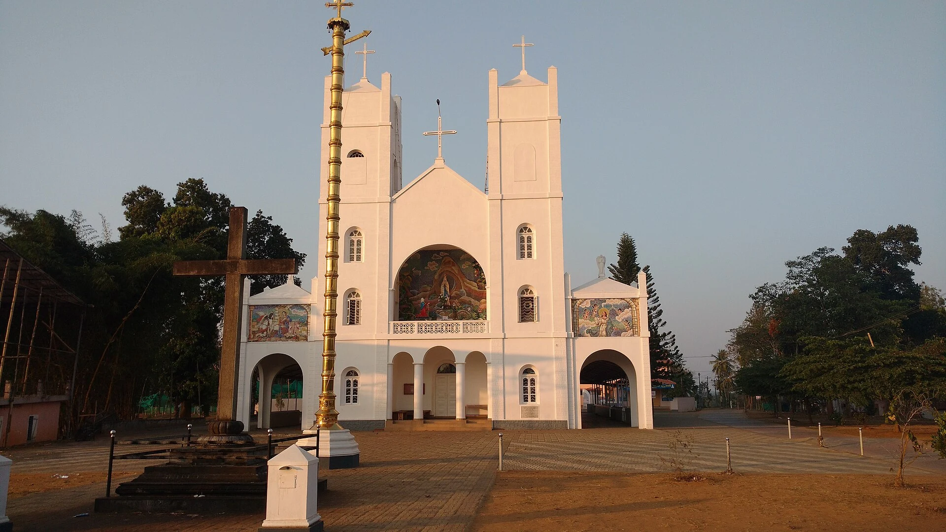
Our Lady of Lourdes shrine at Pallikkunnu in Wayanad, a Latin Catholic church of the Archdiocese of Calicut known for its twin-tower facade, February feast and local devotional customs.
21.1 km · ~35 min by cab · straight lineNo. Current forest access must be confirmed locally before travel; the waterfall description is not a permit or an assurance that the route is operating.
Post-monsoon is usually strongest; dry months are easier for access but water volume may be lower.
Base yourself in Sulthan Bathery or a nearby town in Wayanad, then confirm the last-mile route locally before leaving. Visit early and check whether the falls are open; waterfall access can close quickly in heavy rain. If the visit depends on forest, temple, boat, ferry, weather or seasonal access, check the official/local rule on the day before travel.
1 to 3 hours.
Nearby you can pair Seetha Lava Kusha Temple (9.0 km), Jain Temple (9.9 km), Phantom Rock (12.9 km), Edakkal Caves (13.1 km).
Do not enter restricted pools or climb wet rocks. Flash-flood risk rises during heavy rain.
We have not published a story about Chethalayam Falls itself yet. These cover Sulthan Bathery and the wider district, with separate journeys between stops.
These guides explore Sulthan Bathery and the surrounding area. Choose a visit that fits your interests, allowing separately for travel between stops.
Route-level itineraries and practical guides for the rest of Kerala.
Photographs: Kerala Tourism (Official tourism image), Kerala Tourism Ecotourism (Official tourism image). Wikimedia Commons.