What to expect
Highlights
- Gateway viewpoint on the Kozhikode-Wayanad ghat route.
- Pairs with Vythiri stays, Pookode Lake, Chain Tree and Kalpetta-side trips.
- The businesses around this place are drivers, hill stays and cafes.
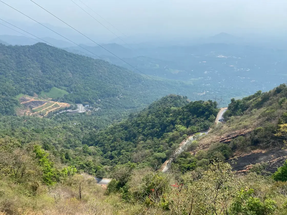
Lakkidi View Point is the classic gateway view into Wayanad from the Thamarassery ghat road, near Vythiri and Pookode Lake. It is a short but high-search viewpoint stop, especially for travellers driving up from Kozhikode.
The key is road safety. It is not a place to stop carelessly on ghat bends or during dense mist; verified drivers and exact parking guidance matter.
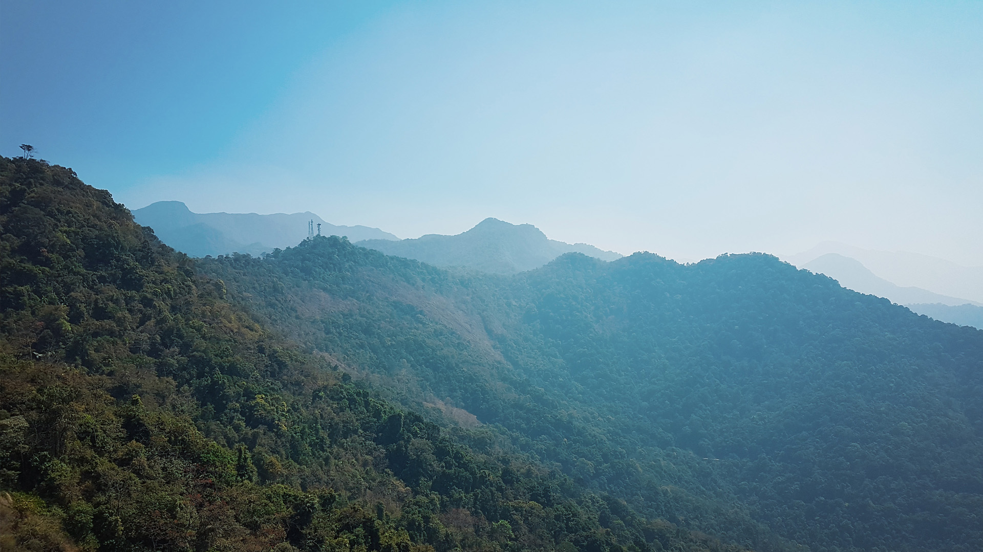
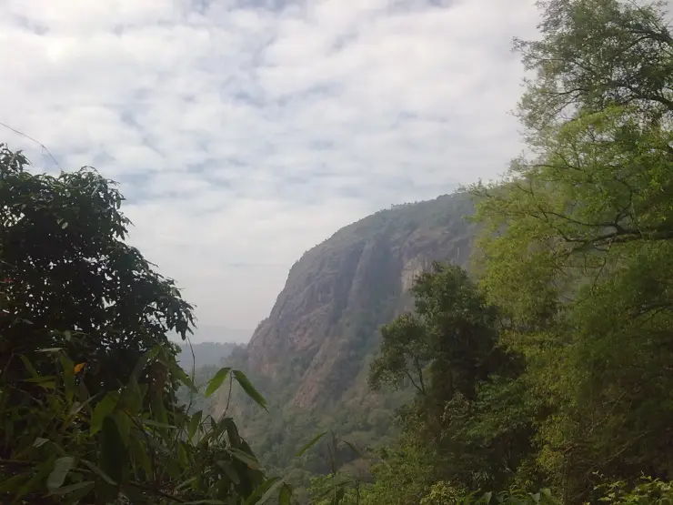
Perched at roughly 700 metres above sea level at the very crest of the Thamarassery ghat, Lakkidi View Point is the dramatic threshold where the plains of Kozhikode give way to the cool, misted highlands of Wayanad. Travellers who have just climbed the nine tight hairpin bends of NH766 pull over here to catch their breath and their first proper look at the Western Ghats falling away in ridge after ridge of forested blue. Cloud drifts through at eye level, the air turns suddenly damp and green, and the road that brought you up snakes visibly below — which is exactly why Lakkidi is called the gateway of Wayanad.
The approach is half the experience. From Adivaram at the foot of the ghat, the highway coils upward through nine sharp hairpin bends, each one opening a wider window onto the valley until, near the top, the forest parts and Lakkidi appears. On a clear morning you can trace the entire climb below you — the switchbacks stacked like a ribbon, vehicles crawling up in miniature, and beyond them the Malabar lowlands stretching hazily towards the coast.
Lakkidi sits at the highest inhabited stretch of the pass, and the microclimate makes itself felt the moment you arrive. Where the plains were hot and bright, the ghat top is often wrapped in moving cloud; mist pours over the road, thins, and gathers again within minutes. This is one of the wettest inhabited corners of Kerala, and the constant moisture keeps the surrounding slopes a saturated, dripping green. How wet, exactly, is a question our own Vythiri and Lakkidi record goes into and the short answer is that the famous number is doubtful. Travel sites and the English Wikipedia article give 600 to 650 centimetres a year — 6,000 to 6,500 mm — while district and agricultural sources describe the Lakkidi, Vythiri and Meppadi belt as taking 3,000 to 4,000 mm against a Wayanad mean of 3,381 mm in IMD data for 1901–2000. The two families of figures differ by nearly a factor of two, no gauge record we can find supports the higher one, and the related claim that Lakkidi has the world’s second-highest rainfall is simply false — Mawsynram and Cherrapunji both average well over 10,000 mm.
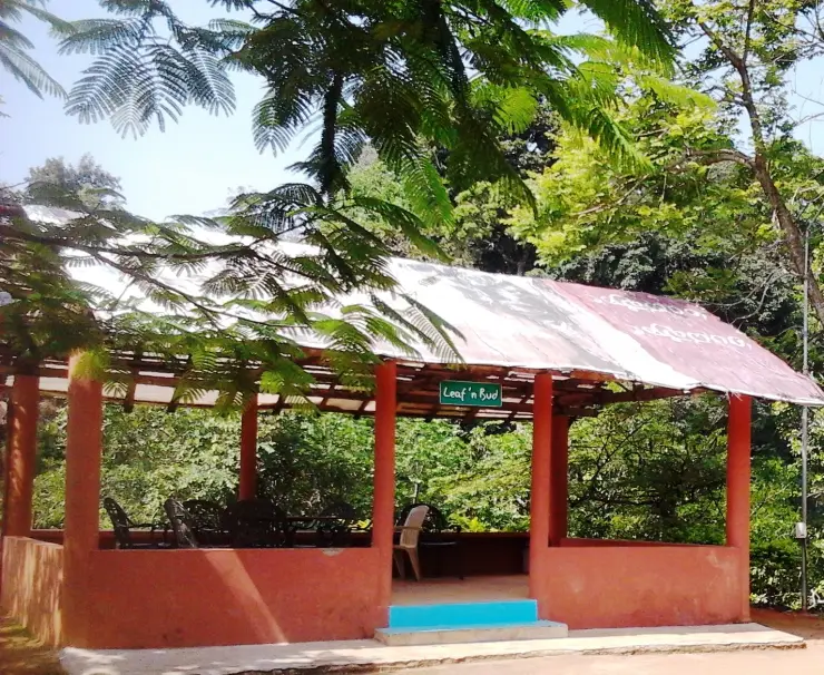
The viewpoint itself is informal rather than manicured. There is a roadside stretch with railings and a few vendors selling tea, spices, honey, dried fruit and cut pineapple, and this is where most people stop to photograph the valley and the hairpins. Monkeys are a near-permanent fixture along the parapet, bold enough to snatch an unguarded snack, so bags and food are best kept closed.
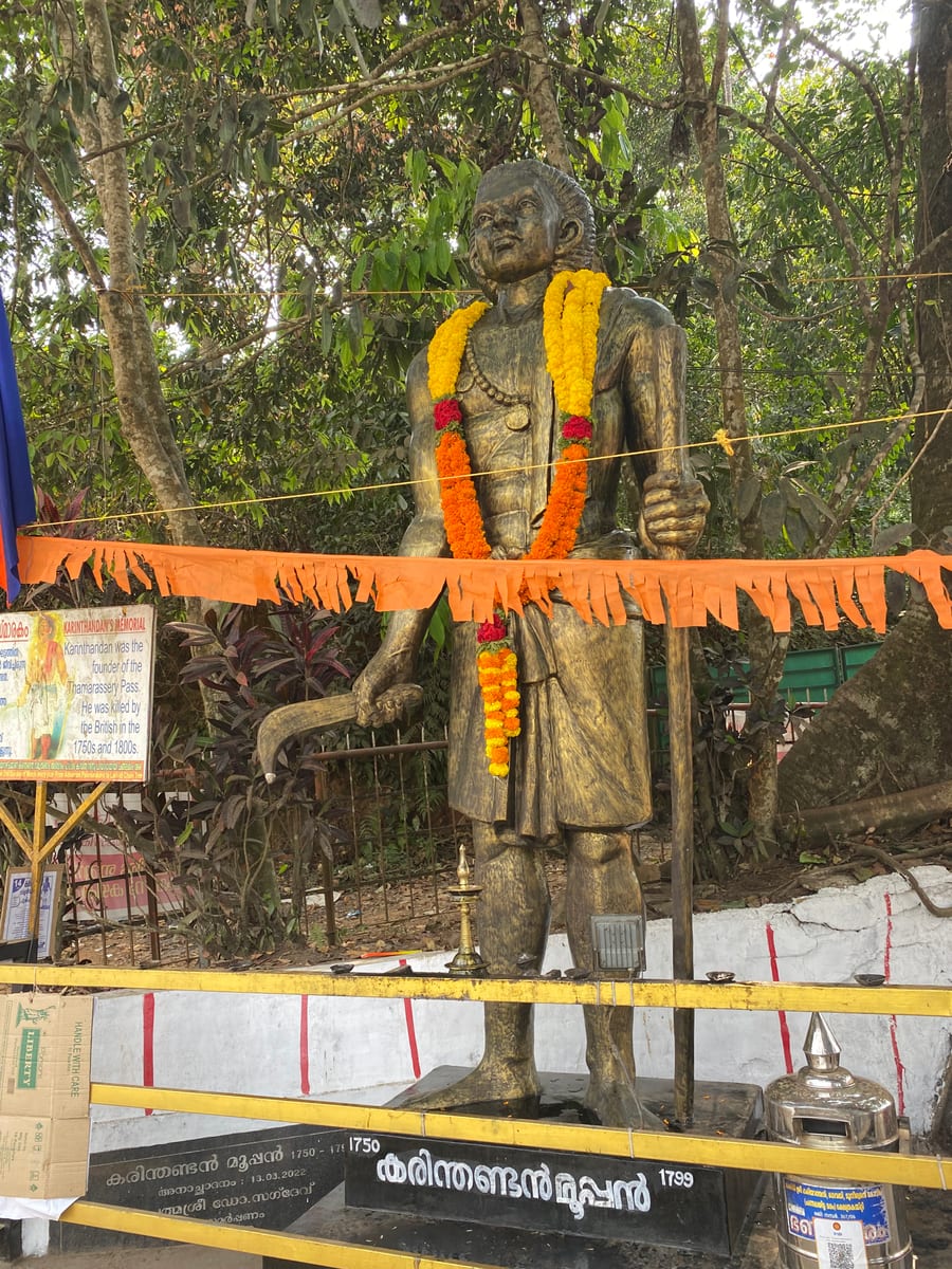
Just below the main pull-in, on the older road towards Vythiri, stands the tree that gives Lakkidi much of its fame: a large ficus draped with a heavy, rusted iron chain. The Chain Tree, and the tragic legend of the tribal guide Karinthandan attached to it, has turned an ordinary bend in the road into one of the most talked-about stops on the ghat.
Because Lakkidi is a pass rather than a destination in its own right, it rewards an unhurried halt rather than a long stay. Many visitors combine it with the loop of nearby attractions — Pookode Lake and Vythiri are only a few kilometres on — treating the viewpoint as the scenic overture to a Wayanad trip. Early morning and the hours after rain are when the light and the clouds are at their most theatrical.
What lingers, beyond the panorama, is the sense of transition. Lakkidi is a genuine frontier between two worlds — the humid coastal plain behind you and the plantation-quilted plateau ahead — and standing at the railing with cloud sliding past, you feel exactly why generations of travellers, traders and armies fought over this single narrow gateway into the hills.
The most famous story at Lakkidi is a legend, told and retold locally rather than settled history, and it belongs to the Chain Tree that stands on the old road below the viewpoint. As the tale goes, Karinthandan was a tribal guide of the Wayanad forests who knew the hidden paths across the ghat long before any road existed.
According to the legend, when British engineers struggled for years to find a way to cut a route up the treacherous Thamarassery pass, it was Karinthandan who led them through, revealing the alignment that would become the ghat road. The story then turns dark: it is said the British engineer, wanting the glory of the discovery for himself, murdered Karinthandan so that no one would know a tribal man had shown him the way.
In the telling, Karinthandan’s restless spirit is said to have haunted the pass afterwards, troubling travellers along the newly opened road. To lay the spirit to rest, so the legend continues, a priest was summoned who bound the soul to a ficus tree with a heavy iron chain — the very chain that still hangs from the branches today, giving the Chain Tree its name.
It should be stressed that this is folklore, not documented fact. There is no complete historical record confirming the details of the murder or the haunting, and the story exists in several versions. What is undisputed is the real and important role tribal communities played in opening up and living in these hills, and it is that memory the legend keeps alive. Visitors will still see the chained ficus and hear the story recounted at the roadside, a piece of living local mythology rather than a proven event.
The Thamarassery ghat — Thamarassery Churam in Malayalam — is the historic mountain pass that links the Kozhikode lowlands with the Wayanad plateau, and Lakkidi crowns it. Long before the modern highway, this was a steep, narrow and dangerous track, yet a strategically vital one, because it was the natural doorway between coastal Malabar and the interior highlands.
That strategic value made the pass a contested prize. During the resistance against colonial expansion, the forces of Pazhassi Raja are remembered for exploiting the difficult ghat terrain against the British, who repeatedly struggled to secure the route through these forests and defiles. Control of the pass meant control of access to Wayanad, and the hills around Lakkidi saw more than their share of that struggle.
The engineered ghat road that eventually tamed the climb is the ancestor of today’s carriageway, and its defining feature — the sequence of nine hairpin bends rising from Adivaram to Lakkidi — remains essentially the line first cut through the mountainside. The story of how that alignment was found is exactly what the Chain Tree legend commemorates, whatever the historical truth of its darker details.
In the modern era the route carries the national highway designation NH766 (formerly numbered NH212), the main artery connecting Kozhikode in Kerala with Wayanad and on towards Mysuru and Kollegal in Karnataka. As traffic and tourism to Wayanad grew, Lakkidi at the top of the climb naturally became the recognised first stop and photo halt for everyone entering the district.
Around this gateway a small hill settlement developed, and with Wayanad’s rise as a plantation and holiday destination the area filled out with resorts, homestays and plantation stays. Yet the essential character of Lakkidi is unchanged: it is still, first and foremost, the high, wet, cloud-washed threshold through which Wayanad greets its visitors.
It is the classic first view of Wayanad — the panoramic sweep from the top of the ghat, taking in ridge upon ridge of the Western Ghats and the valley falling away below, is the image most people carry home from the district.
The nine hairpin bends of the Thamarassery ghat are a genuine spectacle in themselves, and Lakkidi is the best vantage from which to look back down the entire coiling climb you have just made.
The mist and cloud are a large part of the appeal — sitting at one of the wettest, highest points in the region, Lakkidi is regularly wrapped in drifting cloud that pours over the road and makes for atmospheric, almost surreal scenery.
The Chain Tree and the Karinthandan legend give the stop a story, turning a scenic halt into a place with folklore, mystery and a link to Wayanad’s tribal heritage.
Its position makes it effortless to combine with the rest of a Wayanad itinerary — Pookode Lake, Vythiri and the wider Kalpetta cluster are all close by, so the viewpoint slots neatly into a day of sightseeing.
It is free, open and roadside-accessible, so even travellers just passing through on the way into the district can pause, take in the view, grab a tea and local produce, and move on.
Road km to Wayanad; ghat roads and traffic vary — allow extra.
Post-monsoon to winter gives the best chance of clear views; monsoon can be misty and dramatic but less predictable.
Live forecast loads in your browser.
Check the official alert before you travel. Kerala’s beaches, waterfalls and trekking routes close at short notice during heavy rain, and district alert levels change day to day. We do not publish an alert level of our own — read it from the state authority: Kerala State Disaster Management Authority, or the district control room on 1077.
Sun and moon are calculated for this location and shown in IST. Photography windows are the hour around sunrise and sunset; the sunset bearing is degrees clockwise from true north. Moon phase is accurate to about half a day.
Verified hotels, homestays, restaurants, experiences, sights, shops and rentals around Lakkidi View Point — commission-free, with direct contact. Filter by what you need.
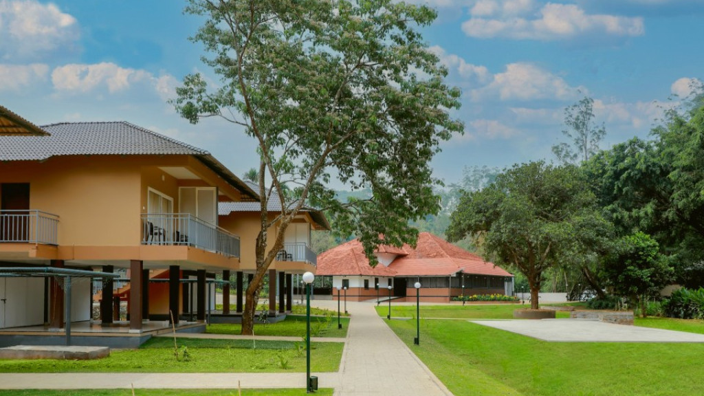
CGH Earth Wayanad Wild dining record using fresh local produce and direct dining-page evidence. Restaurant, Dining, Lakkidi.
Kerala Tourism-listed restaurant record in Vythiri — a source-backed local meal stop for the ghat-road side, between the village street and the resort belt.

The restaurant at Vythiri Village Resort on NH 766 near Vythiri town — a sourced resort dining option that non-residents can use for the ghat-road side.
Family multi-cuisine restaurant on NH-766 in Vythiri town. Open since 2017, it is known for North Indian, Arabic and tandoori dishes.
Vythiri Resort buffet restaurant with direct dining-page evidence. Restaurant, Vythiri, Dining.
Book with the place itself. India’s cyber-crime coordination centre warned in April 2025 that convincing copies of hotel and pilgrimage booking sites are being pushed through sponsored search and social ads, taking payment for rooms the property never hears about. Every listing here links to the business’s own contact details and its own Google or Bing profile — we take no commission and sit in nobody’s payment path. If a booking page reached you through an ad, check the address bar against the property’s own site before you pay. Fraud can be reported on cybercrime.gov.in or on 1930.
Find food, accommodation and activities across Vythiri and Lakkidi. Browse the guides for places to eat, stay and explore along your route.
4 more places around Vythiri and Lakkidi. Open a guide to plan the visit and onward journey.
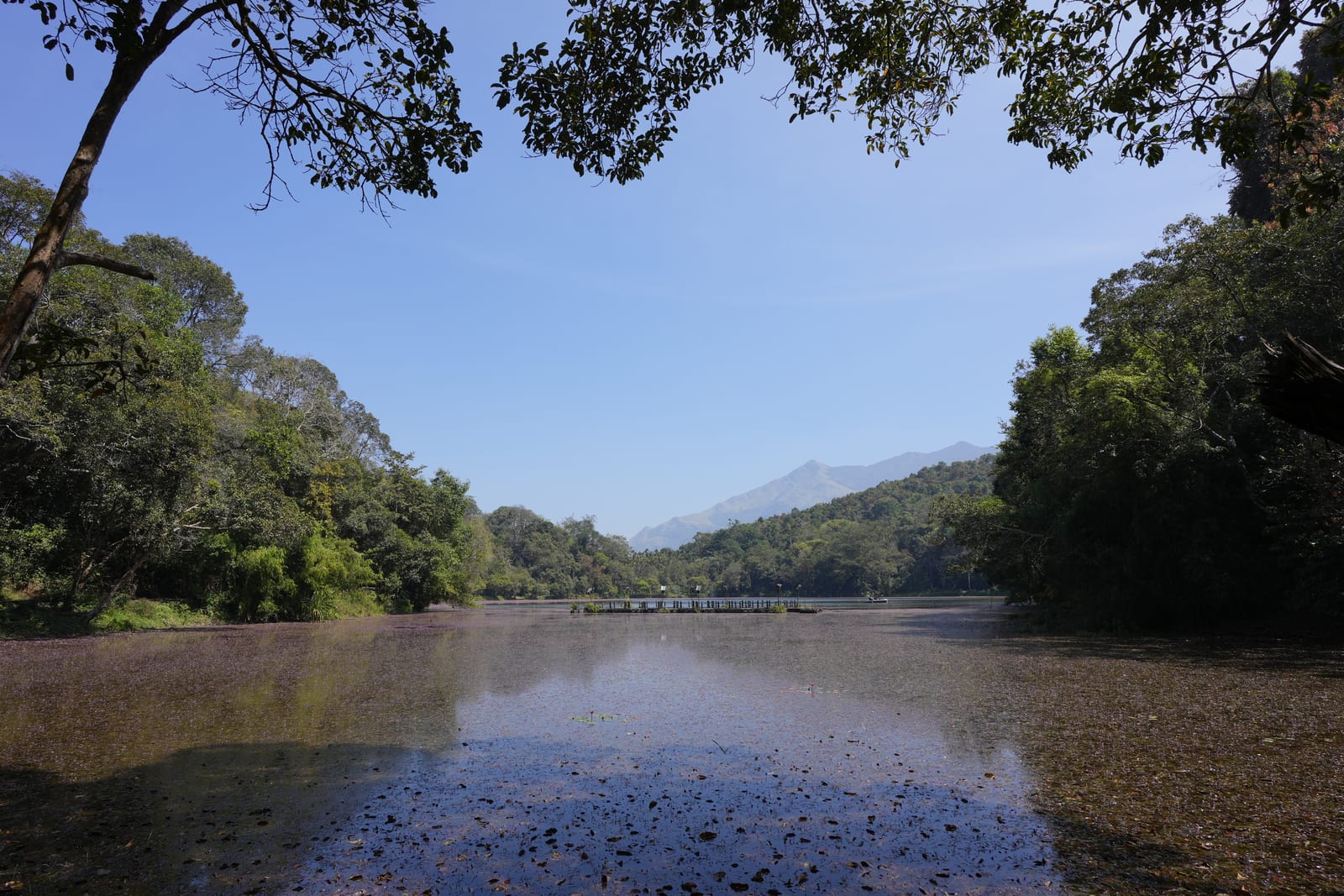
3.5 km · ~9 min by auto
A perennial forest lake at about 770 metres, 2.4 km from Vythiri, said to mirror the map of India in outline and home to a small cyprinid fish recorded in no other water. Boating, a freshwater aquarium and a shore path make it the easiest family half-day on this side of the district.
840 m · 10 min walk
A ficus by the roadside at Lakkidi with a heavy chain run into its branches — the tree of the Karinthandan legend, the tribal guide the ghat road never credited, whose statue now stands beside it. A ten-minute stop that carries more of Wayanad’s history than most full attractions.
2.4 km · 30 min walk
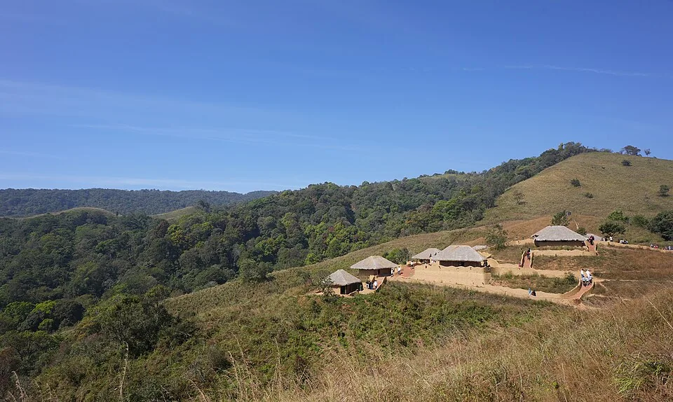
The tribal heritage village on a hillock at Pookode, opened in 2022 after a decade’s building — ten huts in the styles of Wayanad’s communities, a craft workshop and a market, run by residents who live there. Private cars stop at the veterinary-college gate; the site’s shared jeep does the last climb.
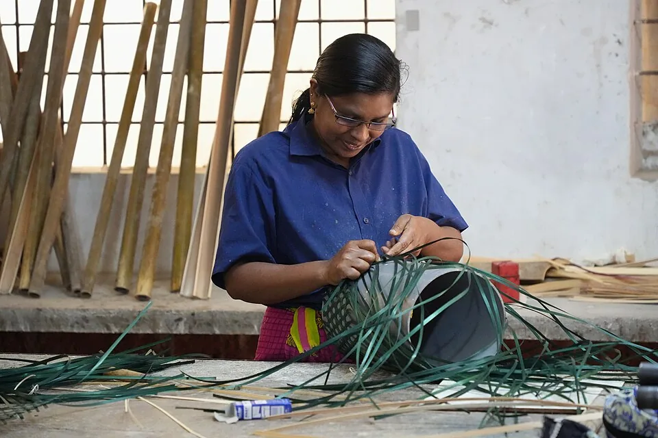
Thrikkaipetta, 21 km out via Kalpetta, where the URAVU study centre has built livelihoods on bamboo since 1996 — a working craft campus of nurseries, training and a workshop floor, not a show village. Go on a working morning and buy at the outlet; the sales are the model.
Roampedia is commission-free — own or know a stay, eatery, guide or shop near Lakkidi View Point? List it and it appears here once verified.
Add a nearby businessEntry: No entry fee for the viewpoint itself; small charges may apply for parking or if you buy tea and local produce at the roadside stalls.
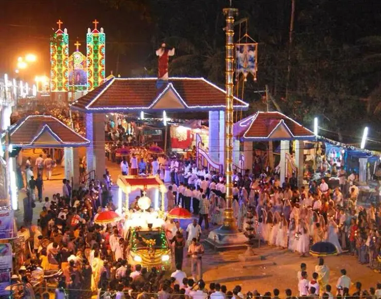
Festivals: There is no formal festival at the viewpoint itself; the local point of interest is the Chain Tree and the Karinthandan legend associated with it, which some visitors come specifically to see.
Photography: Free to photograph; the standout shots are the nine hairpin bends coiling down the ghat, the cloud pouring over the road, and the chained ficus of the Chain Tree. A wide lens helps capture the valley, and mornings after rain are especially atmospheric.
If you are travelling by bus or ferry, check the return service with the operator before setting out. Leave time to reach the stop or jetty after your visit.
Ask at the bus stand for the time of the last service back, not the next one. If you miss it, an auto or app cab is the fallback — agree the fare before you get in.
If you need step-free access, contact the site before travelling. Ask about a level entrance, steps along the route, the nearest drop-off point, seating and accessible toilets.
Emergency numbers are verified against official government and state tourism sources. 112 works anywhere in India.
Lakkidi landmark tied to the Karinthandan legend, usually visited with Lakkidi View Point and Pookode Lake.
840 m · 10 min walk · straight lineTribal heritage village near Pookode/Vythiri with culture, craft and Wayanad community context.
2.4 km · 30 min walk · straight lineFreshwater lake near Vythiri/Lakkidi, commonly paired with the ghat entrance and En Ooru side.
3.5 km · ~9 min by auto · straight line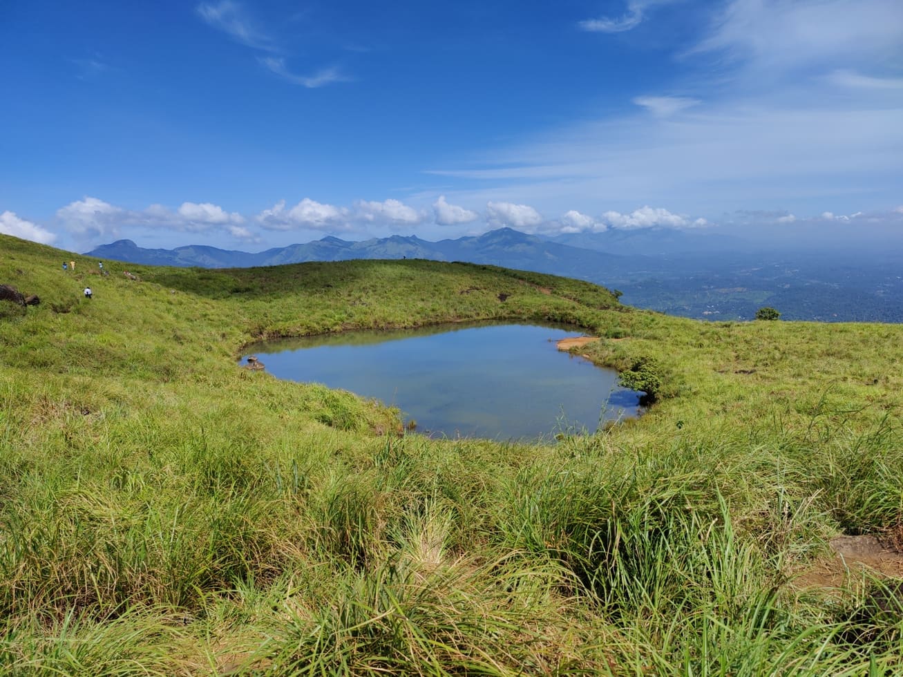
Famous highland trek area, known for the heart-shaped lake viewpoint; permits and access vary.
7.7 km · ~19 min by auto · straight line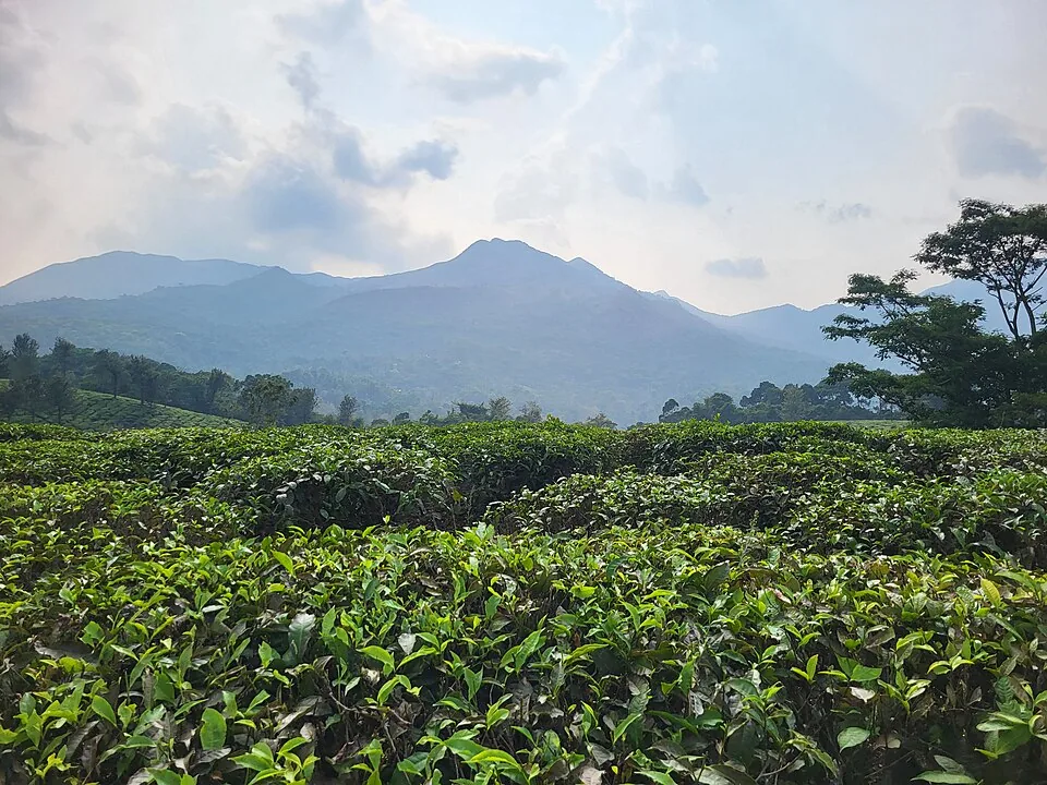
Harrisons Malayalam’s three-storey tea museum in its 1911 former factory at Achoor, with separately scheduled museum, tasting, working-factory and garden visits.
9.4 km · ~16 min by cab · straight line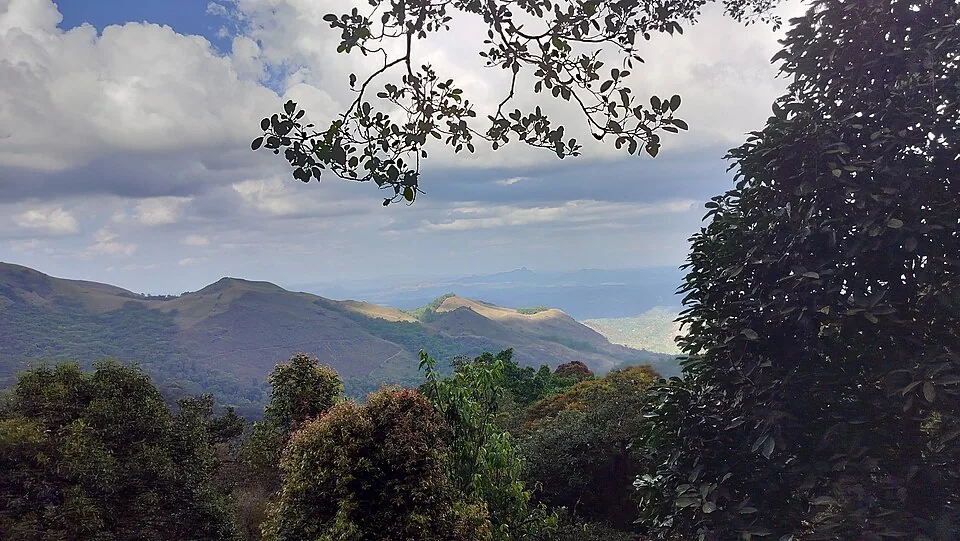
The distinct Skypark adventure operator at 900 Kandi, with a glass walk, zip activities and a DTPC-published visitor marker separate from the neighbouring Eco Park.
10.0 km · ~17 min by cab · straight line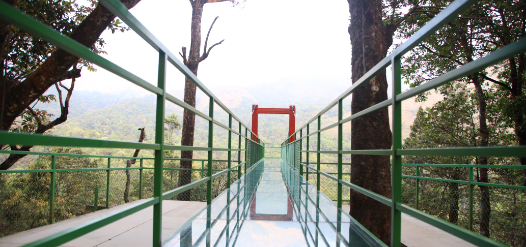
A comparison guide to the distinct glass-bridge offers at 900 Kandi Eco Park and Skypark; choose the operator before navigating or buying a ticket.
10.3 km · ~17 min by cab · straight line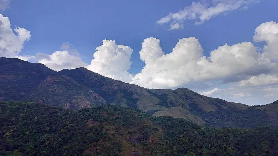
The named private Eco Park at 900 Kandi, with its own glass bridge, skywalk and activity ticketing; it is separate from nearby Skypark.
10.3 km · ~17 min by cab · straight line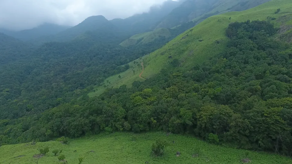
Meppadi-side hill and trek landscape around Aranamala, best planned with local route, weather and access checks.
11.6 km · ~19 min by cab · straight line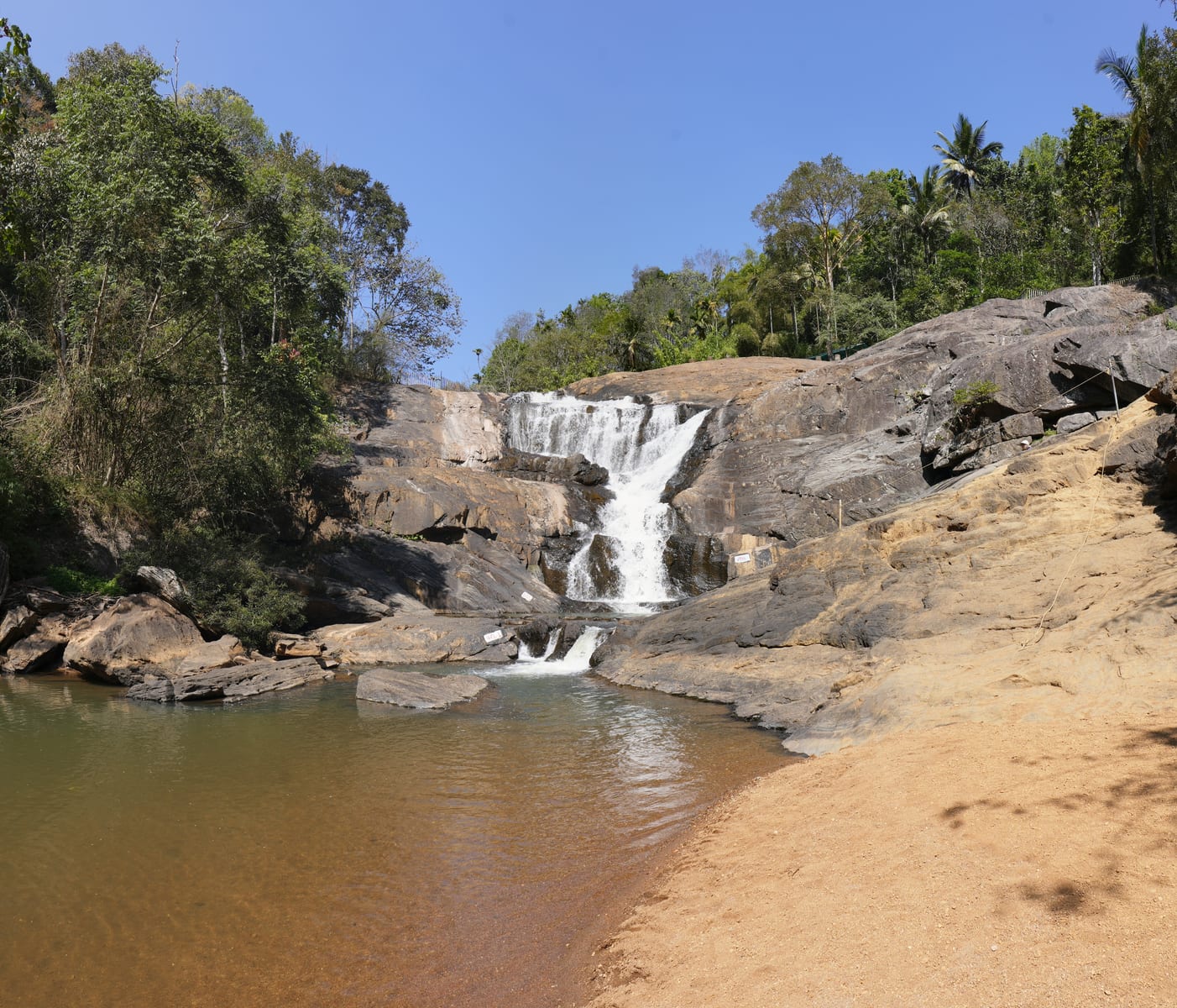
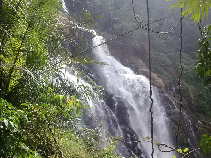
Meppadi-side waterfall with easier access than some larger Wayanad falls, still weather-sensitive in monsoon.
12.2 km · ~20 min by cab · straight line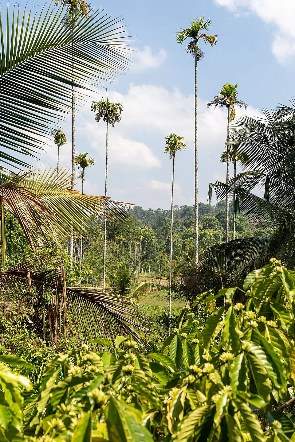
A distributed, working coffee landscape rather than one ticketed attraction: arrange an estate walk with a host, farm or accredited operator, and use Kalpetta town as the honest visitor base.
13.0 km · ~22 min by cab · straight line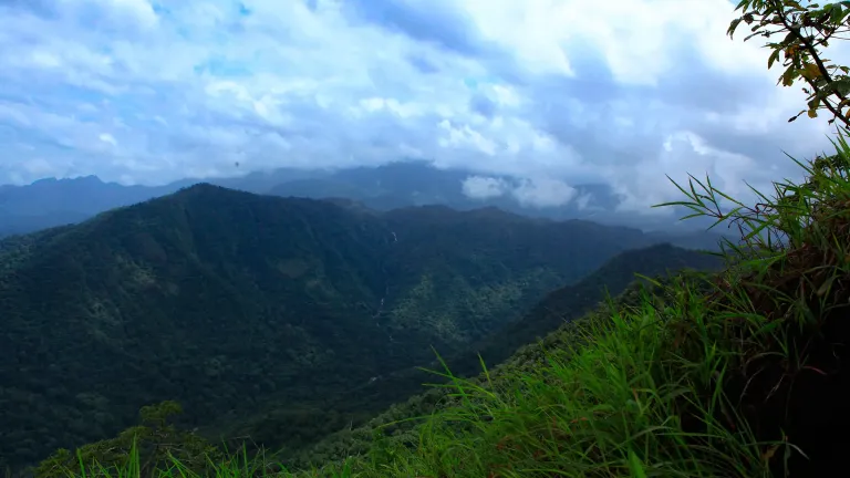
Vaduvanchal/Meppadi-side viewpoint and trek route known for views toward Meenmutty Waterfalls and the Western Ghats.
14.5 km · ~24 min by cab · straight lineIt is a roadside viewpoint at the top of the Thamarassery ghat pass, at around 700 metres elevation, marking the entrance to Wayanad district. It offers sweeping views over the Western Ghats and back down the nine hairpin bends of the climb, and it is often called the gateway of Wayanad.
The Chain Tree is a large ficus near the viewpoint with a heavy iron chain hanging from its branches. The story attached to it — of the tribal guide Karinthandan, a British engineer, a murder and a spirit chained to the tree — is a local legend rather than documented history, and it is best enjoyed as folklore, not fact.
Lakkidi sits at a high, exposed point of the Western Ghats where moisture-laden winds are forced upward, so it takes some of the heaviest rain in Kerala and sits under near-constant cloud. Be careful with the figure, though. The number repeated everywhere — 600 to 650 centimetres, meaning 6,000 to 6,500 mm — comes from an unsourced line and is roughly double what district and agricultural sources give for the Lakkidi, Vythiri and Meppadi belt, which is 3,000 to 4,000 mm against a Wayanad district mean of 3,381 mm in IMD data for 1901–2000. The frequently attached claim that Lakkidi has the world’s second-highest rainfall is false outright.
Most visitors stop for around fifteen to thirty minutes to take in the view, photograph the hairpins and see the Chain Tree. It is a halt on the way into Wayanad rather than a place you spend hours.
The viewpoint is a public roadside stop and is generally free to visit; you only pay for parking, tea or produce if you choose to.
The cooler, clearer months from roughly October to May are the most comfortable and give the best long views, while the monsoon brings dramatic cloud and lush green but heavy rain, leeches and slippery, low-visibility roads.
Post-monsoon to winter gives the best chance of clear views; monsoon can be misty and dramatic but less predictable.
Entry: No entry fee for the viewpoint itself; small charges may apply for parking or if you buy tea and local produce at the roadside stalls. Timings: Open through daylight hours as a public roadside viewpoint; there are no fixed gates, but early morning to late afternoon is best for clear views and safe driving on the ghat.
Visit while travelling between Kozhikode and Wayanad, or from Vythiri/Kalpetta as a short stop. Stop only where parking and local rules allow. Use clear-weather mornings or late afternoons for better visibility.
20 to 45 minutes; half day with Vythiri and Pookode add-ons.
Nearby you can pair Chain Tree (840 m), En Ooru Tribal Heritage Village (2.4 km), Pookode Lake (3.5 km), Chembra Peak trek (7.7 km).
Do not stand on road edges or blind curves for photos. Avoid stops during lightning, heavy rain or very low visibility. Use experienced drivers on the ghat road.
We have not published a story about Lakkidi View Point itself yet. These cover Vythiri and Lakkidi and the wider district, with separate journeys between stops.
Route-level itineraries and practical guides for the rest of Kerala.

Photographs: Vinayaraj (CC BY-SA 4.0). Wikimedia Commons.