Kundah is the part of the Nilgiris where a map is more useful than a street plan. The name belongs to a taluk, a range, a river, a chain of hydro-electric works and a small mapped town beside Manjoor. West of that town the public road runs out among reservoirs and protected shola-grassland. This is not a conventional hill station: it is a working electricity landscape beside a national park, and permission is part of the geography.
Begin with the scale. Kundah taluk contains ten revenue villages — Bikkatty, two Ithalar divisions, Mulligoor, two Balacola divisions, two Kil-Kundah divisions, Kinnakorai and Mel-Kundah — scattered across the south-western Nilgiri plateau. There is no single promenade, market square or compact sightseeing circuit. The named Kundah town node on the map, beside Manjoor, is the useful planning centre because three public roads meet there and Kundah I power house stands just beyond it. The administrative boundary itself stretches far west into country without public roads.
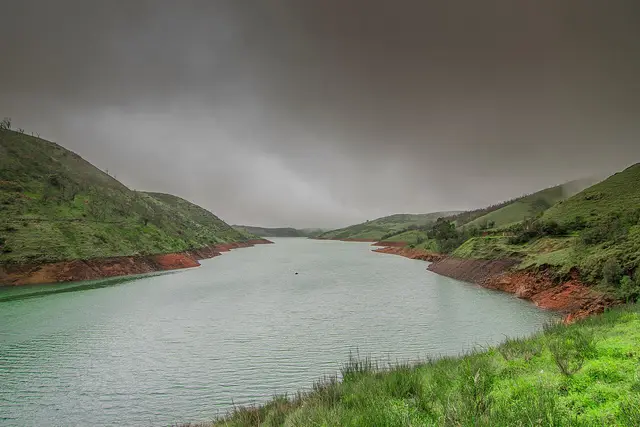
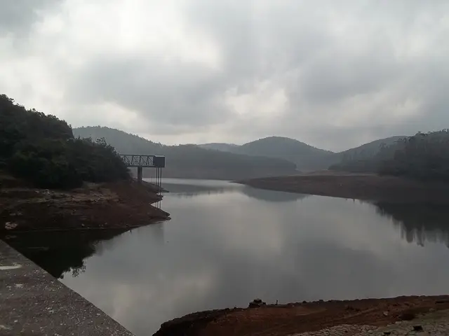
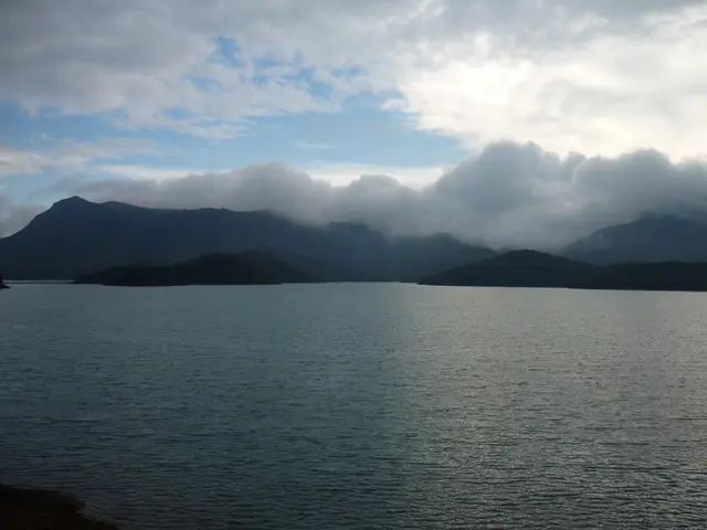
Water explains almost everything visible from those roads. Rain falling on the high western plateau is held in a sequence of reservoirs, carried through tunnels and pressure shafts, dropped through power houses and used again lower down. Tamil Nadu’s statistical handbook lists six Kundah power houses. Their installed capacities are 60, 175, 180, 100, 40 and 30 megawatts — 585 MW together — commissioned in stages from 1960 to 2000. A reservoir here is therefore not a leisure lake. It is drinking water, stored energy, regulated flow and industrial infrastructure at once.
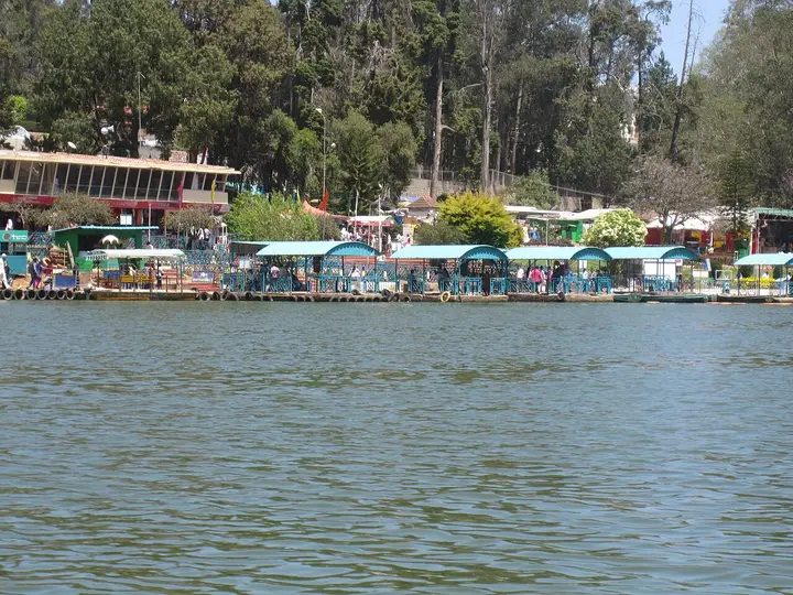
The scheme changed the meaning of remoteness. Upper Bhavani, Avalanche, Emerald, Parsons Valley and Porthimund are sometimes written up as a necklace of scenic lakes. On the ground they are catchments, dam walls, inspection roads, intake structures and guarded forest. Roads were made to build and maintain the system, not to promise public access. A line on a navigation app may end at a locked barrier, a departmental gate or a road on which private vehicles have no authority to continue.
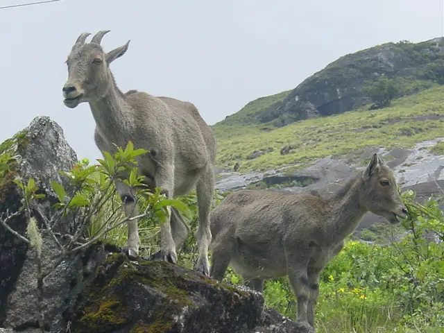
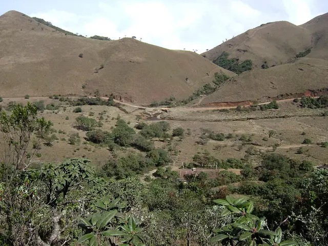
The other half of Kundah is protected because it is one of the last large pieces of the Nilgiris’ natural high country. Mukurthi National Park covers 7,846 hectares. Its characteristic pattern is montane grassland folded around pockets of evergreen shola forest: exposed slopes collect rain and feed streams; the compact sholas shelter water, soil and endemic life. The park is a stronghold of the endangered Nilgiri tahr and forms part of the Western Ghats World Heritage property and the Nilgiri Biosphere Reserve.
The apparent emptiness is misleading. These downs are part of the Toda homeland and sacred landscape. Toda pastoral life is organised around buffalo, dairy temples, waters and hills with ritual identities. Researcher Tarun Chhabra records dozens of deity hills and notes that more than a dozen lie in or around Mukurthi National Park. Some waters may be touched only by a priest and some sacred peaks should not even be pointed at. A visitor entering with the idea that unbuilt land is unused land has already misunderstood it.
Sispara Pass is where this high world breaks open. It lies on the western escarpment above Kerala, at the end of a route once used between the plateau and the Malabar side. Bangitappal is the grassland basin behind it, where streams meet and an old trekking shed stands. Neither is an informal walk from a roadside pin. They are deep inside protected country, reached only through whatever guided and permitted programme the Wildlife Warden authorises at the time.
Manjoor is the practical settlement. It has the bus connections, post office, government hospital, shops and the accommodation addresses that the Ministry of Tourism register places in this taluk. Kundah Bridge post office serves PIN 643219. Ithalar has 643004, while Balacola’s 643203 must be read with the village name because the same PIN also serves Athigaratti in another block. This mundane postal geography matters: it separates an actual Kundah bed from an Ooty or Coonoor property borrowing a hill-country label.
What can an independent visitor honestly do? Drive the public Kundah roads in daylight, stop only where stopping is safe and permitted, see working reservoirs and grassland from public viewpoints, spend time in Manjoor, and ask the Forest Department before planning anything beyond a barrier. If permission is not granted, that is not a failed holiday. It is the protected landscape doing what a protected landscape is supposed to do.
Legend & myth
Toda tradition does not treat the western Nilgiris as anonymous scenery. Hills are the abodes or very forms of deities, streams have ritual lives, and the country around Mukurthi is among the densest parts of that sacred map. Tarun Chhabra’s account records that more than a dozen of the thirty-four recognised deity hills stand in or around the national park.
One tradition follows the sacred river now usually called Pykara or Mukurthi. Its source belongs to a divine landscape: the water begins among deity hills, follows a ritually significant course and is approached with rules that are not recreational etiquette but religious obligation. In Toda practice some sacred waters may be handled only by an ordained dairy priest. The river that engineers later divided between reservoirs and turbines was already a living sacred presence.
Sispara carries the same kind of meaning. The peak above the pass is associated in Toda belief with ancestral spirits, while the far south-western Nilgiris are connected with Amunawdr, the afterworld. This is oral and religious tradition, not a claim that can be tested like a dam’s capacity. It does explain why a traveller should not describe these hills as vacant, conquer a summit for a photograph, or point at a peak that local practice holds sacred.
More about Kundah
History
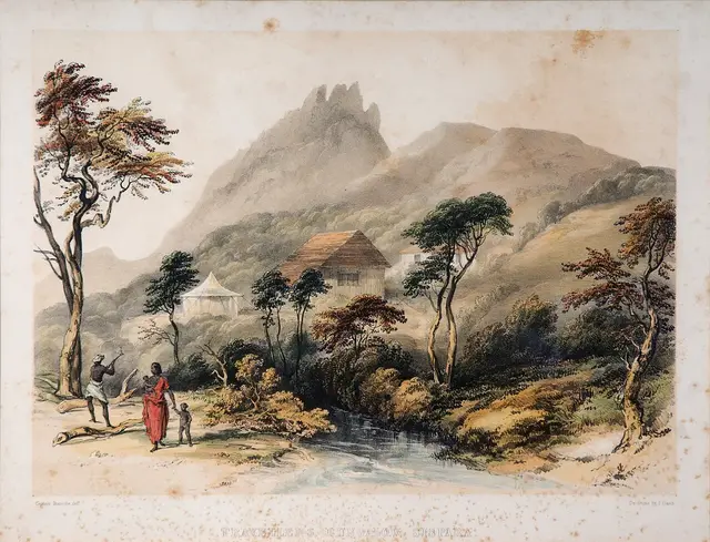
Long before the power scheme, the western plateau was crossed and named through Toda pastoral use. Sacred dairies, buffalo paths, streams and deity hills formed a cultural map that did not need roads or masonry to be exact. The surviving oral geography is important evidence that Mukurthi was never empty wilderness waiting to be discovered.
The colonial hill station at Ootacamund changed the plateau’s demands. Forest was planted with exotic timber, grassland was altered, and water was impounded for towns, estates and power. The older Pykara hydro-electric station began generation in 1932. Kundah was the much larger post-independence development: the state statistical handbook dates power houses I and II to 1960–64, III to 1965–78, IV to 1966–78, V to 1964–88 and VI to 2000.
Those dates show that “the Kundah scheme” was not one dam-opening ceremony. It was several decades of tunnels, dams, penstocks, power houses and transmission works assembled across a whole range. The first five stations alone total 555 MW; the sixth takes the complex to 585 MW. Water is passed through successive drops, so the geography reads as a system rather than six isolated buildings.
Protection developed alongside engineering. The Nilgiri Biosphere Reserve was designated in 1986, the first biosphere reserve in India. Mukurthi National Park was established in 2001 and the Tamil Nadu Forest Department records its area as 7,846 hectares. In 2012 it became one component of the serial Western Ghats World Heritage property. The protected boundary now covers much of the land through which older trekking routes and engineering tracks run.
That history produces the central tension of visiting Kundah today. Infrastructure makes the interior appear reachable: there are dams, sheds and roads on maps. Conservation law and operational safety make much of it unavailable without authority. The correct question is not “Can a car get there?” but “Is the public allowed to use that road today, and under whose supervision?”
Why visit
To understand how Tamil Nadu turns monsoon water stored above two thousand metres into electricity through a six-station, 585 MW hydro-electric complex.
To see the shola-grassland mosaic on the scale at which it still functions: slopes gathering cloud, small evergreen forests holding water, and streams feeding both wildlife and reservoirs.
For Mukurthi, a 7,846-hectare national park and Western Ghats World Heritage component created around one of the Nilgiri tahr’s principal surviving landscapes.
For the history of Sispara Pass and Bangitappal, which reveal how the plateau once connected on foot to Malabar — provided the Wildlife Warden actually authorises the route.
For the Toda sacred landscape, which makes clear that protection here concerns cultural meaning as well as wildlife and water.
Because Kundah is the corrective to attraction-list tourism: a beautiful place whose most important lesson is where the public road ends and why.