Six acres, say the travel sites, near-unanimously. We measured the mapped boundary ourselves and got a hundred and fifty-eight — and the state, quite independently, publishes a figure within four per cent of ours. That is the smaller of the two things almost everyone gets wrong about this hillside.
The story of Pine forest
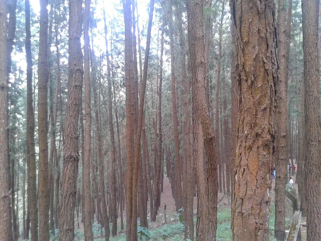
Walk in and the giveaway is underfoot, not overhead. The stems stand in lines. The floor is a bare rust-coloured mat of fallen needles with almost nothing growing through it, and where the block ends it ends abruptly, against open grass. That is not how a forest behaves. It is how a plantation behaves, and this one has a name the signboards do not use: the Kolahalamedu Pine Plantation.
The description comes from the Kerala Forest Department's own ecotourism booking system, and it is worth quoting because it is the only official account of this place anywhere. "An extent of 61.40 Ha of revenue land in Wagamon Hills was handed over to Kerala Forest Department for the purpose of afforestation. This area was later notified to be constituted as reserve vide forest notification No. 12/2021/Forest dated 24.03.2021. This particular bit viz., Kolahalamedu Pine Plantation supports excellent tropical pine trees (Pinus caribeae) planted by research wing." Four facts in three sentences, and not one of them appears on a travel page.
Take them in turn. The land was revenue land — ordinary state land, not forest — until it was given to the Forest Department to plant up. The trees are Pinus caribaea, Caribbean pine, native to Cuba, the Bahamas and Central America; the department misspells it "caribeae" in its own text. They were put in by the research wing, which is what you do when you are testing whether a species will grow, not when you are harvesting a forest. And the ground only became a reserved forest in law on 24 March 2021. A British plantation raised for timber would have been on reserved forest from the start. This one was not forest at all for most of its life.
The size is the next thing that falls over. Travel sites, near-unanimously, say six acres. We measured the mapped boundary — eighteen vertices, closed polygon — and got 63.97 hectares, about 158 acres, running 838 metres north to south and 1,270 metres east to west. That is within 4.2% of the state's own 61.40 hectares, arrived at completely independently. Six acres is not a small error; it is out by a factor of twenty-five. The likeliest source of it is the state's own sentence that Pine Valley is "just 6 kilometres from Vagamon" — a distance that quietly became an area.
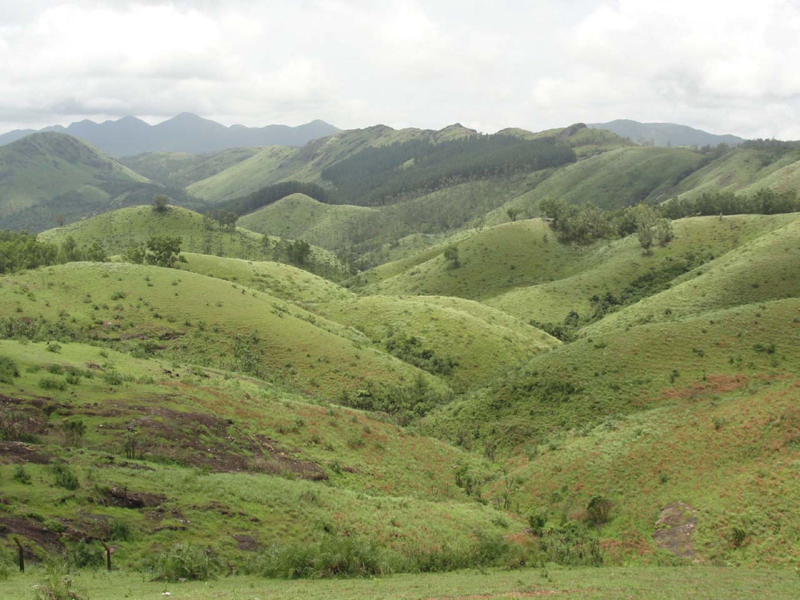
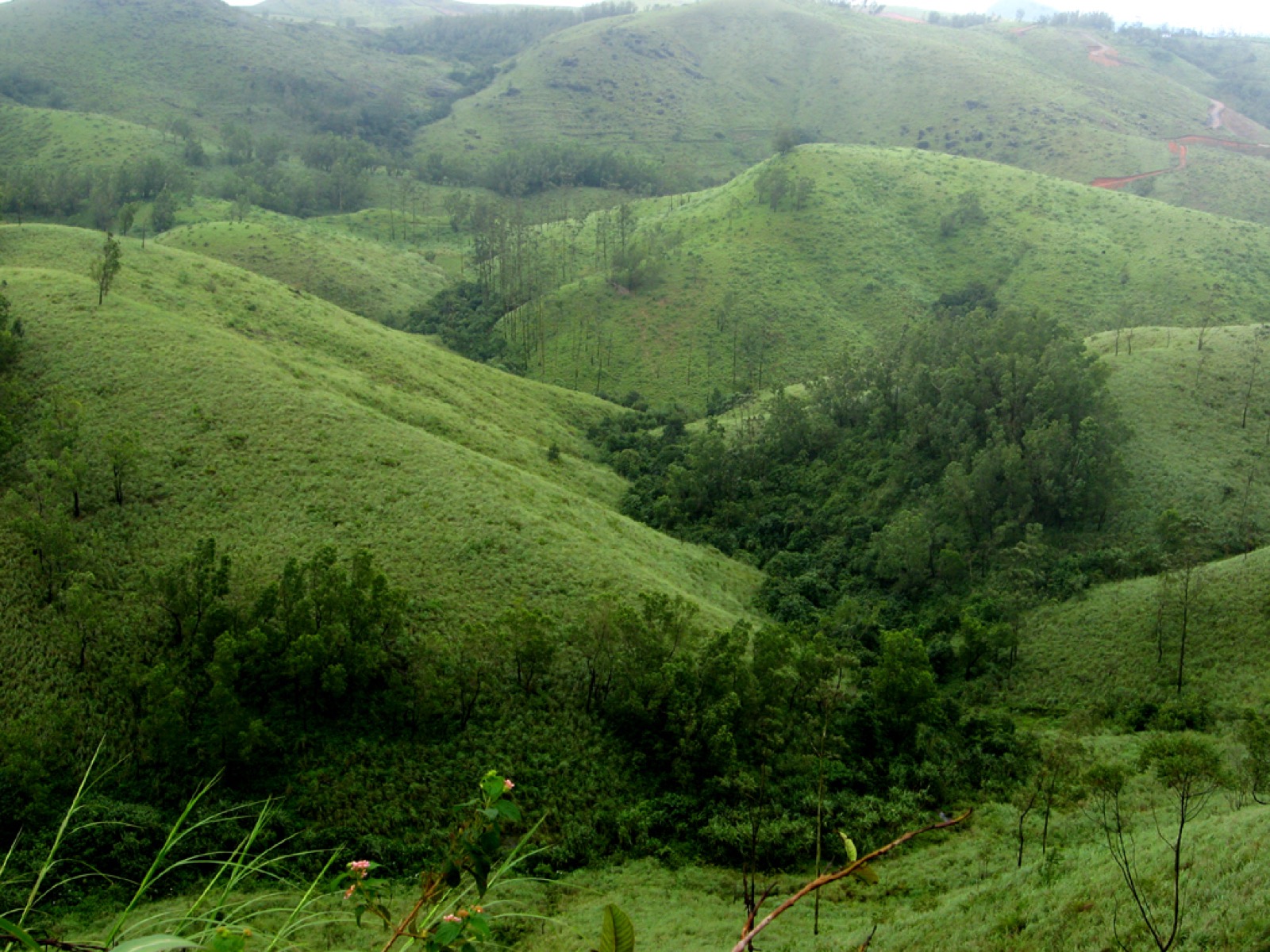
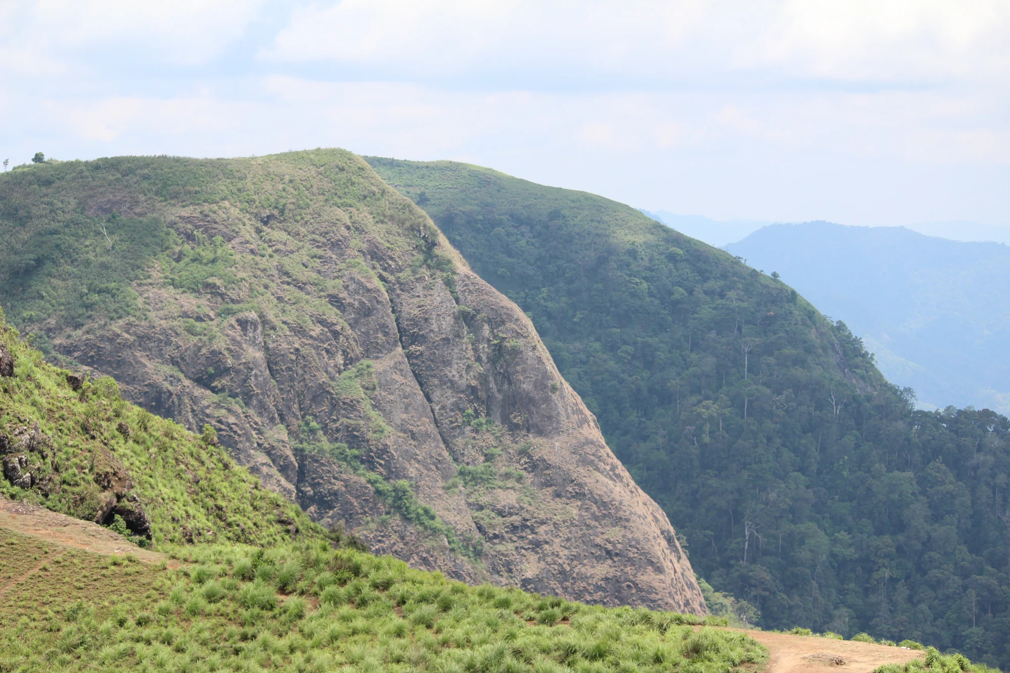
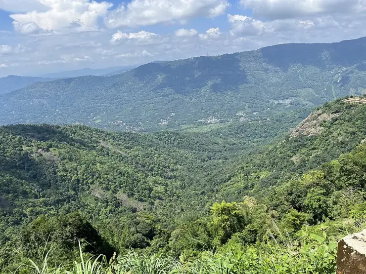
And it is not flat. Three elevation models — SRTM, Mapzen and ASTER — agree that the plantation boundary runs from about 912 metres at its lowest to about 1,120 at its highest, a fall of roughly 200 metres across those 64 hectares. The ticket counter sits near the top, at 1,079 to 1,084 metres. So the shape of a visit here is the reverse of what people expect: you walk down into it, easily, and then you climb back out. Nothing published anywhere mentions this, and it is the single most useful thing to know before you set off with children or a parent in tow.
The plantation also has a neighbour that explains why anything is up here at all. Sharing the same shoulder, and owning the canteen building beside the pine forest car park, is Base Farm, Kolahalamedu: a hundred acres established in 1963 as an extension unit of the Indo-Swiss Project at Mattupetty, a supporting bull farm for a joint Indian and Swiss effort to breed cattle suited to these hills. It passed to the Kerala Livestock Development Board, then in 2000 to Kerala Agricultural University to start a college of dairy science, and in 2011 to the Kerala Veterinary and Animal Sciences University, which publishes its position as 9° 39' 10" N, 76° 55' 41" E — about 270 metres from the pine forest gate. Malayalam Wikipedia remembers the period plainly: once, it says, Vagamon and Kolahalamedu lay unnoticed, and the only thing here was the Indo-Swiss Project's cattle-breeding centre. The pines went in on the shoulder of a state farm, in the decade of state farms.
One story should be set down and then set aside, because it is repeated locally and in Malayalam Wikipedia: that these pines are cut every twenty years and their pulp makes the paper Indian currency is printed on. It is a good story and it is not true. Indian banknote paper is made of cotton fibre — cotton and cotton rags, not wood — at the Security Paper Mill at Hoshangabad and the Bank Note Paper Mill at Mysuru, and it contains no wood pulp at all. Kerala's pines were indeed raised as pulpwood, and pine pulpwood quality in these very high ranges has been studied; but the newsprint mill down in Kottayam runs on eucalyptus and bamboo, and banknotes run on cotton. Whatever these trees were planted for, it was not money.
Read the full history of Pine forest 426 more words
History
1963 — Base Farm, Kolahalamedu is established on the same shoulder as an extension unit of the Indo-Swiss Project, Mattupetty, as a supporting bull farm. The Kerala Veterinary and Animal Sciences University, its present custodian, gives the year and the purpose on its own page, along with the farm's size — 100 acres — and its altitude of about 1,100 m.
Some time after that, and on a date no public source gives, 61.40 hectares of adjoining revenue land is handed to the Kerala Forest Department for afforestation, and its research wing plants the ground with Pinus caribaea. We have not been able to source the planting year from any published record and do not invent one.
2000 — the cattle farm is handed to Kerala Agricultural University to start a college of dairy science and technology.
2011 — the farm passes again, to the newly created Kerala Veterinary and Animal Sciences University, formed by bifurcating Kerala Agricultural University.
24 March 2021 — notification No. 12/2021/Forest constitutes the 61.40 hectares a reserve. This is the date on which the plantation becomes forest in law, and it is cited by the Forest Department in its own ecotourism project note. Kerala Tourism's Kerala 365 page alludes to it only as Kolahalamedu having "been declared a protected area", without naming the order, the date or the extent.
Today the block is run as a ticketed ecotourism centre listed by the state as "Vagamon (Pine Valley)" under the High Range Circle, with a counter, a car park, a made path and a published capacity of 1,500 tickets a day.
Why visit
It is one of the few places in Kerala where you can see a forestry experiment at full size and read it off the ground — planted rows, a bare needle floor, and a hard edge against native grass.
The light between the rows in the early morning and the late afternoon is the reason most people come, and it is genuinely worth the trip; the trees are limbed high and the shafts come in sideways.
It is a 200-metre hillside, so it is a real walk rather than a photo stop — and a short one, downhill first, on a made path.
It sits 1.32 km by road from the Kolahalamedu paragliding ridge and 6.85 km from Kurisumala, so it slots into a half-day round of the Vagamon shoulder without doubling back.
Because almost everything written about it is wrong, and standing in it with the right facts is a different experience from standing in it with the wrong ones.