What to expect
Highlights
- Pazhassi Dam — An earthen dam on the Valapattanam river near Mattannur, with a garden, boating and a hanging bridge — named after the freedom-fighter king Pazhassi Raja.
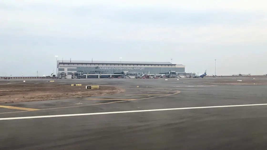
Kannur International Airport, Mattannur hotels and arrival/departure transport planning.
October to March for dry, comfortable weather. Mid-February to mid-March (Kumbham) for the Mahadeva temple festival; October to May for theyyam at the village kavus. June to September is very wet — Wikipedia gives the local average as 3,438 mm a year.
Live forecast loads in your browser.
Sun and moon are calculated for this location and shown in IST. Photography windows are the hour around sunrise and sunset; the sunset bearing is degrees clockwise from true north. Moon phase is accurate to about half a day.
Mattannur sits in the midland belt of Kannur district, about 26 kilometres inland from both Kannur town and Thalassery, on the old Thalassery–Coorg road where the coastal plain starts folding into laterite ridges. It is a municipality of roughly 54 square kilometres and just under 47,000 people, and until recently it was known for three things: a Shiva temple that the town grew around, a ward called Pazhassi that gave a king his name, and a percussionist whose stage-prefix carried the town’s name across India. Then, on 9 December 2018, an Air India Express aircraft lifted off for Abu Dhabi from a 3,050-metre runway five kilometres away, and Mattannur became the postal address of Kerala’s fourth international airport. Both Mattannurs are still here, and the gap between them is the interesting part.
The approach to Mattannur tells you what kind of country this is. Coming up from Thalassery on State Highway 30 — the road that eventually climbs to Coorg — the coconut-and-backwater flatness of the coast gives way within twenty kilometres to red laterite cuttings, rubber, areca and small, stubborn rectangles of paddy wedged into every level patch. The municipality is bounded by the Irikkur river to the north and the Anjarakandy river to the south, which makes Mattannur a watershed town rather than a riverfront one: the water is always nearby and never quite in the middle of things. Wikipedia’s figure for the town’s average annual rainfall is 3,438 mm, which is high even by Kerala’s standards, and it shows in how green the place is in September and how dust-red it goes by April.
The town itself grew where the Mahadeva temple stands, and the Malayalam Wikipedia article on Mattannur says so plainly — the settlement took shape with the temple as its centre. What is remarkable is how little that has been eroded. A photograph taken from the road in front of the temple still shows an unbroken green paddy field running right up to the compound wall, with the tiled roof of the shrine and the parked cars of worshippers on the far side of it. For a town with an international airport at the end of a five-kilometre road, keeping a working rice field at the front door of your principal temple is not nothing.
The airport was a long time coming. The foundation stone was laid on 17 December 2010 by the then Chief Minister, V. S. Achuthanandan. An Indian Air Force aircraft made a trial landing on 29 February 2016 — an event the airport’s own Wikipedia article records was criticised at the time as an election stunt, since the air traffic control tower was incomplete and technical assistance had to be borrowed from Calicut. Commercial operations finally began on 9 December 2018, when Air India Express flight IX 715 left for Abu Dhabi at 10:13 IST. The airport is a public–private company, Kannur International Airport Limited (KIAL), in which the Government of Kerala holds about 32.9 per cent, state and central public-sector undertakings about 22.5 per cent and the Airports Authority of India about 9.4 per cent, with the Chief Minister of Kerala as board chairman.
What the airport is *for* is written into KIAL’s own description of itself: it was developed “primarily to cater to the travelling needs of the large NRI population in the region who travel frequently to various international destinations”. North Malabar has been sending workers to the Gulf for two generations, and before 2018 a family from Mattannur flew from Kozhikode or Mangaluru. The route map reflects that history exactly. Air India Express, which uses Kannur as a hub, flies to Abu Dhabi, Bahrain, Dammam, Doha, Dubai, Jeddah, Kuwait City, Muscat, Ras Al Khaimah, Riyadh and Sharjah, alongside Bengaluru and Thiruvananthapuram; IndiGo, which treats it as a focus city, adds Fujairah plus Chennai, Delhi, Hyderabad, Kochi, Mumbai and more. It is an airport built for people going to work, and it feels like one.
It is also an airport with a real, unresolved constraint, and any honest account of Mattannur has to say so. Kannur has never been granted “point of call” status in India’s air services agreements, which means foreign carriers cannot run regularly scheduled services here. The Kerala government has asked repeatedly — the Chief Minister has raised it with the Prime Minister and with the civil aviation minister, and a parliamentary standing committee has recommended it — and the Union government’s position has been that non-metro points are not being granted as new points of call, and that Indian carriers should serve them instead. Several international airlines have been reported as interested. None can come until that changes.
The land the runway sits on has a cost attached to it that is easy to miss from the departure hall. Roughly 1,200 acres were acquired in the first phase by August 2010; a third phase at Velliyamparamba was still incomplete years later; and the Phase I runway extension has required a further tranche — reported in March 2025 as around 245 acres of private land, a process then some eight years old and affecting in the region of 200 families, with a special compensation package under discussion. The published runway is 3,050 metres by 45 metres, designated 07/25, with Category I approach lighting at the 25 end and simple approach lighting at the 07 end. Extension proposals have been floated at 3,400 metres and at 4,000 metres, and the difference between those numbers is what the argument has been about.
Away from all this, Mattannur is a working small town with a decent civic spine. The panchayat was constituted in 1962 out of the villages of Pazhassi, Kolari and Porora, and became a municipality on 1 April 1990; it now runs to 36 wards. Literacy at the 2011 census was 94.8 per cent, and the sex ratio was 1,078 women per 1,000 men. The population was 63.2 per cent Hindu and 35.9 per cent Muslim, which is roughly the Malabar average and is legible in the skyline. There is a KINFRA industrial park at Velliyampara, and the education list is longer than the town’s size suggests: Pazhassi Raja NSS College, a Government Polytechnic, a college of teacher education, and St Thomas College of Engineering and Technology at Sivapuram, some eight kilometres out.
For a traveller, the honest framing is this: almost nobody sets out for Mattannur. People land here. But the five kilometres between the terminal and the town are worth spending an hour on if you have a long layover or an early departure, because within them you can stand in front of a temple that has kept its rice field, walk around a memorial building the municipality opened on the anniversary of a king’s death, and look east at Puralimala, the ridge that gave the Kottayam rajas their other title. That is a better use of a spare morning than the airport lounge, and it is entirely doable on the KSRTC bus that runs between the town and the terminal in about fifteen minutes.
Start with the name, because Mattannur’s deepest piece of lore is the word itself and it comes in three competing versions. The one the Malayalam Wikipedia gives first is theological: മൃഡൻ (*Mridan*) is an epithet of Shiva, and Mridannur — Shiva’s place — is said to have worn down over centuries into Mattannur. A second reading is purely topographic, deriving the name from *Mottakunnu*, the bald knoll, which is a very plausible description of the laterite domes this town is built over. A third points at old revenue survey records and a form written *Pattinikad*. None of the three can be proved, and it is worth noticing that they belong to three different worlds — a god, a hill, and a colonial land register. A north Kerala town will often carry all three at once.
The Shiva reading has the temple to back it. Mattannur Mahadeva Temple stands at the town’s centre, and its presiding deity is not Shiva in any of the usual martial or ascetic forms but Shiva in the *Dakshinamurti sankalpam* — the god facing south as the silent teacher, expounding by stillness rather than speech. That is a comparatively uncommon choice for a principal prathishta in Kerala, where Dakshinamurti more often occupies a subsidiary niche. The subsidiary deities here are Mahavishnu, Ganapathi, Ayyappan, Bhoothathan and the naga daivangal, the serpent gods, with a separate Vishnu shrine and an Ayyappan kavu attached. Devotional sources further claim that the installation was performed by Parashurama and that the temple belongs to Kerala’s 108 Shiva temples; both are traditional attributions carried by temple listings rather than anything documented, and this record repeats them as claims, not as history.
The town’s festival calendar turns on that temple. The annual utsavam falls in the Malayalam month of Kumbham, running Kumbham 15 to Kumbham 22 — seven days that in 2026 correspond to 27 February to 6 March — and closes with the arattu. The two events that define it are *thidambu nritham* and the pulling of the theru. Thidambu nritham is a ritual dance of the North Malabar and Kasaragod temples, reckoned to be over six hundred years old, in which a single performer balances the thidambu — the decorated processional image of the deity — on his head and dances to the drums in a pleated skirt, silk vest and the turban called an ushnipeetam. It is a form you will not see in south Kerala at all, and Mattannur is squarely inside its country.
A devotional listing says elephants do not take part in the Mattannur festival and that processions use the ratha or theru instead. Official Devaswom and Kerala Tourism pages do not state that rule, while at least one commercial district listing describes caparisoned elephants. Because the sources conflict, ask the temple about the current procession format and value the chariot tradition on its own terms.
Mattannur is also, unmistakably, theyyam country, and it has its own kolams rather than a borrowed share of somebody else’s. On the night of 1–2 November 2025 a photographer working for a Wikimedia folklore project recorded Marana Gulikan and Karingulikan at a shrine barely a kilometre north-west of the town centre — the black-dotted face, the crescent on the brow, the vast palm-leaf headdress, the ring of villagers holding up phones. Gulikan is the kolam of death, understood as a form of Yama, and he is one of the more feared and more consoling figures in the North Malabar pantheon precisely because he is the one you can argue with. That is Mattannur’s own theyyam, in Mattannur, and it is what this record points at.
It is worth refusing something here explicitly. The single most famous piece of North Malabar folk religion is the Muthappan cycle — the child found on a bed of flowers at Ayyankara Illam, the toddy pots, the arrow that fell at a bend of the Valapattanam — and Muthappan is worshipped near Mattannur too, including at the Puralimala madappura. That story is not Mattannur’s, and it is told in full on our Parassinikadavu page, where it belongs. Note also, if you go looking, that the Puralimala Muthappan madappura’s own signboard gives its postal address as Mel Muringodi, P.O. Peravoor — the shrine sits on the ridge, not inside the municipality.
The ridge itself is the last of Mattannur’s myths and the biggest. Puralimala rises on the eastern horizon across about 15 square kilometres of the Maloor, Thillenkeri, Peravoor and Muzhakkunnu panchayats, standing somewhere between 1,800 and 3,000 feet. Local tradition holds that when Hanuman was carrying the Sanjeevani mountain of healing herbs north, a handful of its soil fell here — which is offered as the explanation for the unusual density of medicinal plants on the slopes, and is exactly the kind of legend that encodes a real botanical observation. The hill also carries Harishchandrakotta, a fort site associated in local memory with the campaigns of Tipu Sultan’s period and with guerrilla use afterwards, and a Shiva lingam on the summit ground.
One absence should be recorded honestly, because absences are claims too. We searched in Malayalam — മട്ടന്നൂർ ക്ഷേത്രം, ഐതിഹ്യം, ഉത്സവം, കാവ്, തെയ്യം, കളിയാട്ടം — as well as in English, and read the Malayalam Wikipedia articles on the town, on the Mahadeva temple and on Puralimala. The temple’s Malayalam article has carried an incompleteness tag since September 2015 and its ഐതിഹ്യം section is simply empty: there is no published origin legend for the Mattannur shrine that we could find in either language. That is a gap in the record, not evidence that the town has no story. And there is, unsurprisingly, no folklore attached to the airport land — a laterite plateau levelled in the 2010s does not have any yet.
Mattannur belonged historically to the Kottayam kingdom — Cotiote in the East India Company’s spelling — a principality of the Malabar highlands that stood under the wider authority of Kolathunadu and reached east across Wayanad. Its rulers carried the title Purali or Puralisan, taken from the Puralimala ridge that closes Mattannur’s eastern skyline, which makes the hill a piece of constitutional history as much as of geography. One branch of that house held Pazhassi, a village on Mattannur’s edge, and it is from this village that Kerala Varma Pazhassi Raja takes the name by which India remembers him. His war with the Company, and the dam and reservoir that later borrowed his name, are told in full on our Pazhassi Dam page and are deliberately not repeated here.
The colonial administration reached the town early enough to leave a date behind: the Mattannur police station was established in 1871, which places a British-era police presence in this inland market town within a generation of the Pazhassi campaigns ending. Mattannur today also holds a First Class Magistrate Court and a Fast Track Special Court — a court-and-station cluster of the kind that marks a taluk-level administrative node rather than a village. The town sits in Iritty taluk.
Modern local government arrived in stages. A panchayat was constituted in 1962 by merging the three villages of Pazhassi, Kolari and Porora, and K. T. Madhavan Nambiar became its first president after the elections of 1963. Municipal status followed on 1 April 1990. The council today has 36 wards. Two published figures for the municipality’s area disagree slightly and we print both: the Kannur district administration’s own page gives 54.05 square kilometres, while Wikipedia in both English and Malayalam gives 54.32. The 2011 census counted 47,078 residents in 9,788 families, with a decadal growth of only 6.23 per cent over 2001–2011 — a modest number that the airport decade has almost certainly overturned.
The most poignant piece of built history here is the Pazhassi Kovilakam at Mattannur, also called the Kottayam Padinjare Kovilakam. Kerala Tourism’s Thalassery Heritage Project records that it was built in 1903 with funds from the British government and from the Pazhassi royal family, originally as an ettukettu — a house of two courtyards — later reduced to a nalukettu when parts were pulled down, with the Kerala architectural idiom otherwise intact. It has been in a dilapidated state for years. In July 2016 the Deccan Chronicle reported that the 113-year-old building faced demolition: a meeting involving state ministers, the municipality and the Pazhassi Raja Trust had agreed the government would take the property over, but the arrangement collapsed when the state said it would preserve the building only if the land were handed over free. We have found no report of a resolution since.
The memorial that did get built stands nearby. The Pazhassi Raja Smrithi Mandiram at Pazhassi was dedicated by Mattannur Municipality on 30 November 2014 — the anniversary of the Raja’s death — and is built in the manner of a koothambalam, the temple theatre hall, over a pond that formed part of the old palace grounds. Its outer walls carry murals of the Raja’s life, there is a stone statue, and an archive of correspondence with the British is held there. Kerala Tourism lists both the kovilakam and the Smrithi Mandiram on its Pazhassi circuit.
The airport decade is the newest layer. Foundation stone, 17 December 2010. Trial landing, 29 February 2016. First commercial flight, 9 December 2018. One million passengers within nine months of opening; two million cumulative by November 2020; and 14,34,168 passengers in the financial year April 2025 to March 2026, up 6.7 per cent. The terminal covers 97,000 square metres with six aerobridges, 48 check-in counters and a peak-hour design capacity of 2,000 passengers, and the apron was laid out for 20 wide-bodied aircraft at once. Whether Mattannur becomes a city because of this, or remains a town with an airport next to it, is currently being decided.
It is the closest real town to Kannur International Airport — five kilometres, about fifteen minutes by bus — and a far better place to spend a layover than the terminal.
Mattannur Mahadeva Temple keeps a working paddy field at its front steps and enshrines Shiva as Dakshinamurti, the southward-facing teacher, an unusual choice for a principal deity in Kerala.
The Kumbham festival brings thidambu nritham and a chariot procession through the town, a North Malabar ritual form you will not see anywhere in south Kerala.
Pazhassi village, the place that gave Kerala Varma Pazhassi Raja his name, is inside the municipality, with a 1903 kovilakam and a memorial hall the town opened on the anniversary of his death.
Puralimala rises on the eastern skyline — the ridge that gave the Kottayam rajas their title of Purali, with a hilltop fort site, a Shiva lingam and slopes locally famed for medicinal plants.
Theyyam here is the village article, not the tourist one: Gulikan and other kolams are performed at Mattannur’s own shrines in the October-to-May season.
Entry: No entry fee — Mattannur is a working municipal town. The Mahadeva temple, the Pazhassi Raja Smrithi Mandiram and the town streets are free to enter; only your transport costs money.
Kannur International Airport (CNN) is 5 km away, about 15 minutes by bus from Mattannur bus station. KSRTC connects the airport with Mattannur, Iritty and Kannur. Kannur and Thalassery railway stations are each about 26 km, 45 minutes to an hour by road. State Highway 30, the Thalassery–Coorg road, runs through the town.
Check your return bus or ferry with the operator before setting out. Leave time to reach the stop or jetty after your visit, and arrange a return vehicle in advance for a remote outing.
Ask at the jetty or the stand for the time of the last service back, not the next one. If you miss it, an auto or a taxi is the fallback — agree the fare before you get in.
If you need step-free access, contact the site before travelling. Ask about a level entrance, steps along the route, the nearest drop-off point, seating and accessible toilets.
Emergency numbers are verified against official government and state tourism sources. 112 works anywhere in India.
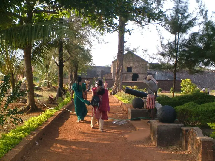 Fort and beach base
Sea fort, beaches and Theyyam-season access.
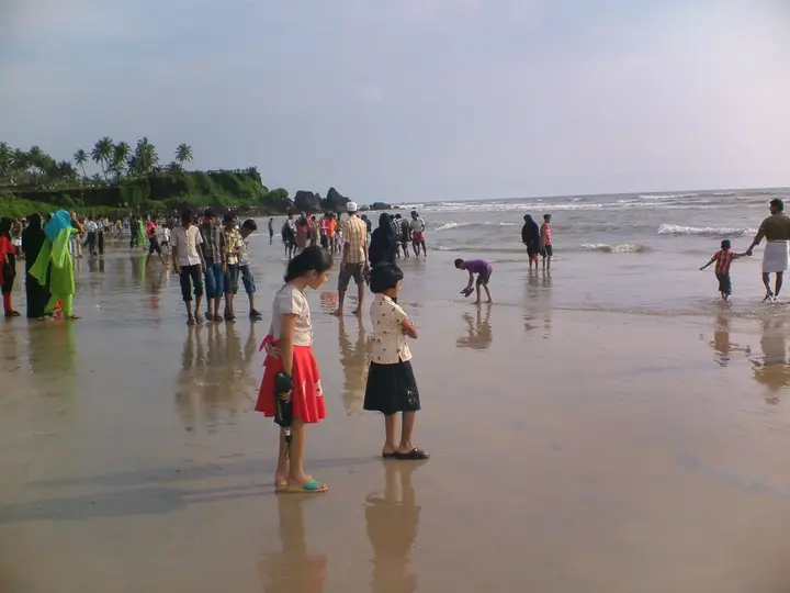
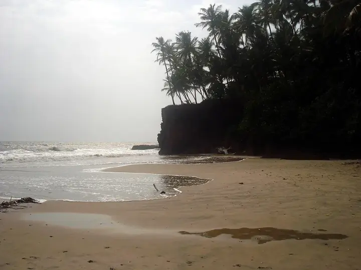 Beach homestay base
Quiet homestay-and-Ayurveda belt about 8 km south of Kannur city, where three laterite-walled coves — Thottada, Kizhunna and Ezhara — run in a row and almost every business is somewhere to sleep.
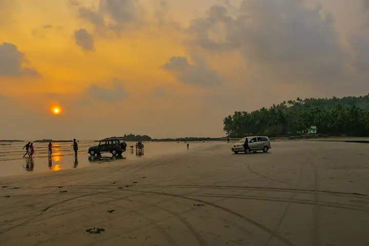 Beach and food base
Drive-in beach, colonial fort and biryani town.
 City beach base
Easy beach area close to Kannur town.
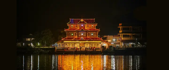 Temple and family base
Muthappan temple, Vismaya and Kannur University side stays north of Kannur city.
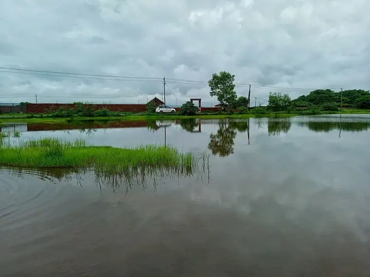 Laterite plateau base
Biodiversity plateau and heritage landscape near Pazhayangadi.
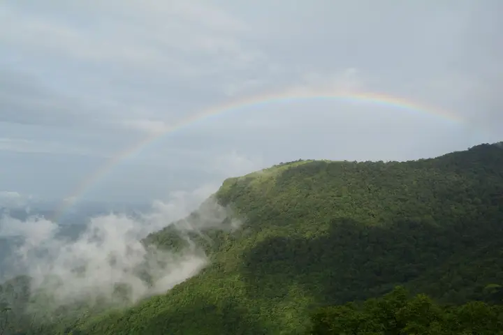 Hill trek base
Highland trek and viewpoint near the Karnataka border.
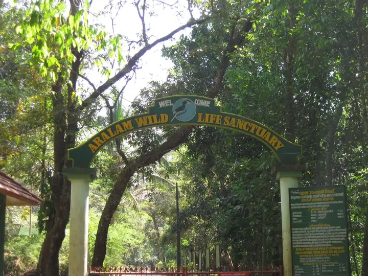 Wildlife base
Eastern forest sanctuary and highland village belt.
Kannur district is known for: Theyyam ritual arts, St. Angelo Fort, Muzhappilangad drive-in beach and Aralam forests.
Every verified place in Mattannur and Airport — filter by what you’re after.
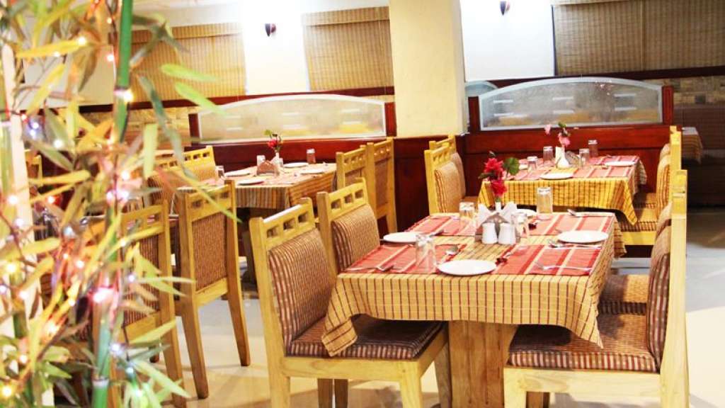
Restaurant at Kerala Tourism-listed Hotel Sky Park near Ashraya Hospital and Kannur airport access. Mattannur-and-airport, eat, Airport hotel restaurant.

Kerala Tourism-listed Mattannur hotel for Kannur airport overnight stays and road transfers. Mattannur-and-airport, Airport-side hotel support, stay.
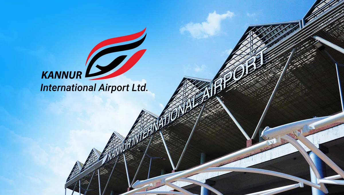
Official airport passenger support in Mattannur and Airport. Kannur International Airport P.O., Mattannur, Kannur 670708 · Kannur, Official airport passenger support, mattannur-and-airport.
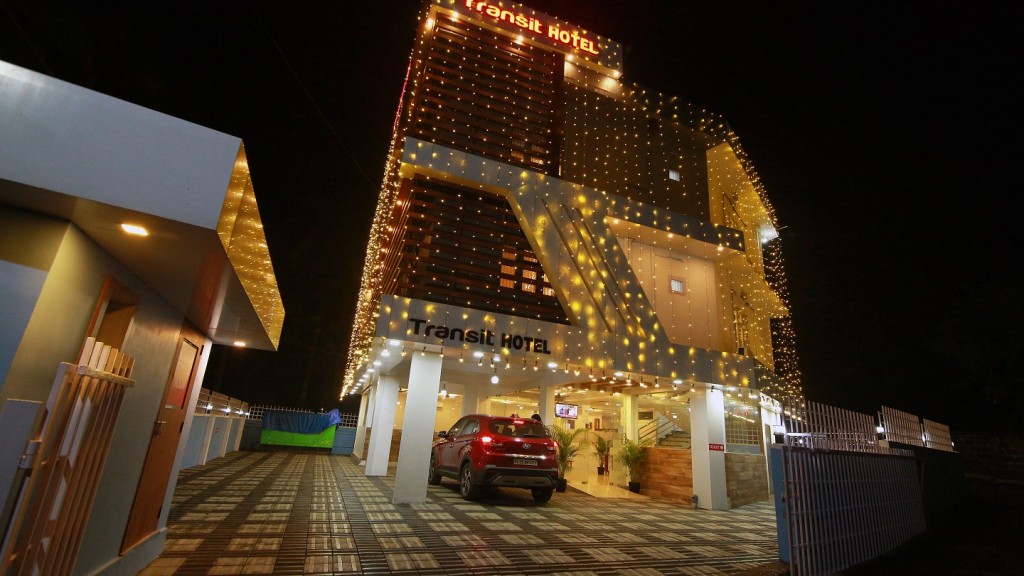
Kerala Tourism-listed Mattannur hotel for airport-side stays. Mattannur, Airport stay, Transit hotel.

Airport taxi in Mattannur and Airport. Kannur International Airport, Kannur International Airport P.O., Mattannur, Kannur, Kerala 670708 · Prepaid counter; check current tariff · Kannur airport, Prepaid taxi, Ebix Cabs.
Airport cab support in Mattannur and Airport. Mattannur / Kannur Airport, Kerala · WTicabs, Airport cab support, mattannur-and-airport.
Book with the place itself. India’s cyber-crime coordination centre warned in April 2025 that convincing copies of hotel and pilgrimage booking sites are being pushed through sponsored search and social ads, taking payment for rooms the property never hears about. Every listing here links to the business’s own contact details and its own Google or Bing profile — we take no commission and sit in nobody’s payment path. If a booking page reached you through an ad, check the address bar against the property’s own site before you pay. Fraud can be reported on cybercrime.gov.in or on 1930.
The best tourist places to visit in Mattannur and Airport — temples, viewpoints, lakes, heritage and nature, each with a full guide, how to reach it and what to see nearby.
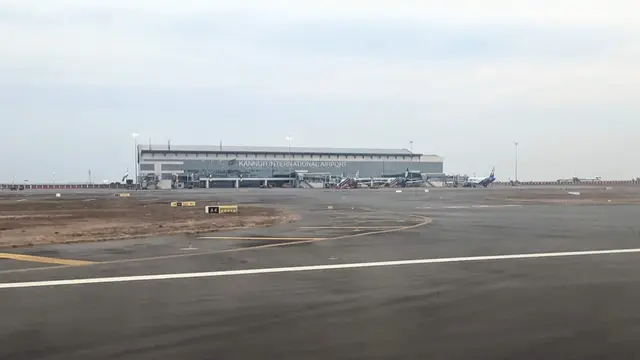
Kannur International Airport is a tourist place in Mattannur and Airport used for route planning, visit timing, and nearby stays, food, transport and local services across Mattannur and Airport, Kannur, Kerala, India. Use this guide to plan the route, check access context and find relevant local options as verified listings are added.
Open guide →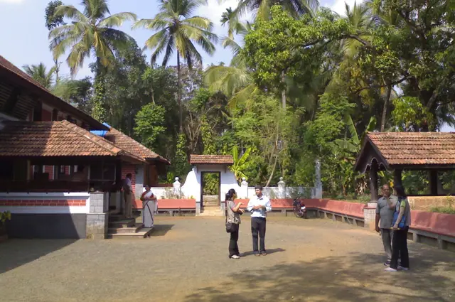
Mattannur hotels is a tourist place in Mattannur and Airport used for route planning, visit timing, and nearby stays, food, transport and local services across Mattannur and Airport, Kannur, Kerala, India. Use this guide to plan the route, check access context and find relevant local options as verified listings are added.
Open guide →Airport prepaid taxi is a tourist place in Mattannur and Airport used for route planning, visit timing, and nearby stays, food, transport and local services across Mattannur and Airport, Kannur, Kerala, India. Use this guide to plan the route, check access context and find relevant local options as verified listings are added.
Open guide →Roampedia is commission-free. Travellers discover your business, book directly and contact you through official details. Basic listings are free, while Gold and Platinum package upgrades can be requested from the owner dashboard after approval.
We have not published a story about Mattannur and Airport itself yet. These cover Kannur, the district it sits in, and travel in Kerala generally.
We have not published a story about a place in Mattannur and Airport itself yet. These are the nearest things we have written.
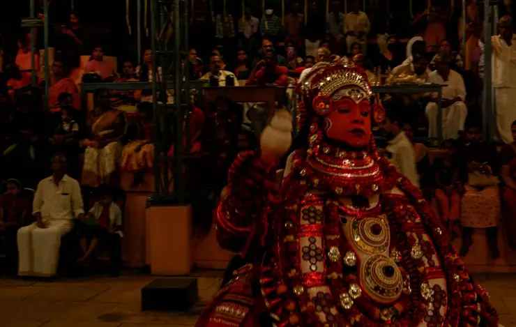
For a few hours, at a village shrine in north Kerala, an ordinary man in towering costume and fire becomes a god — and the whole community comes to be blessed. This is Theyyam, and nothing else in India is quite like it.
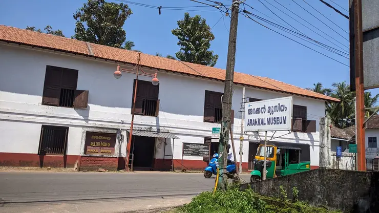
A laterite fort on the Kannur shore carries four centuries of Malabar history — Portuguese, Dutch, Arakkal and British — and a rare story: Kerala’s only Muslim royal house, which could be ruled by a queen.
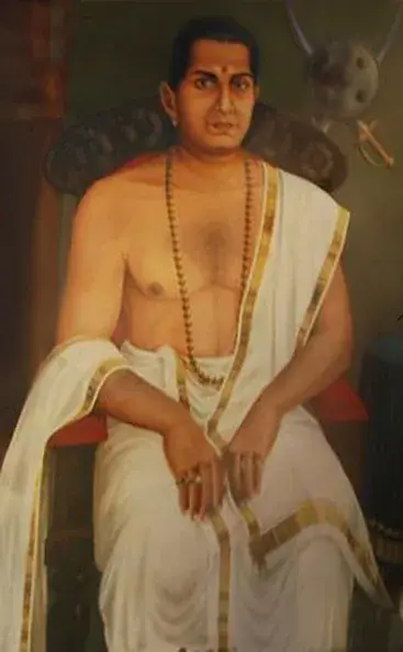
One of India’s earliest freedom fighters waged the longest war the East India Company ever fought on Indian soil — from the forests of Malabar. This is the story of Pazhassi Raja.
Route-level itineraries and practical guides for the rest of the state.
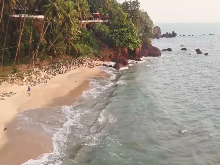
Look at the relationship between Adikadalayi’s red coastal edge, narrow sand and homes above the Arabian Sea.
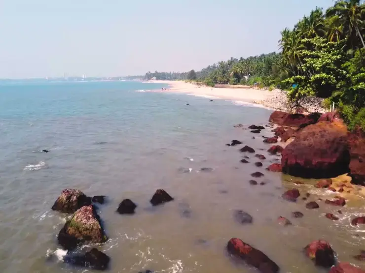
Understand the ground-level shore before planning a walk between Adikadalayi’s sandy sections and rocky edges.
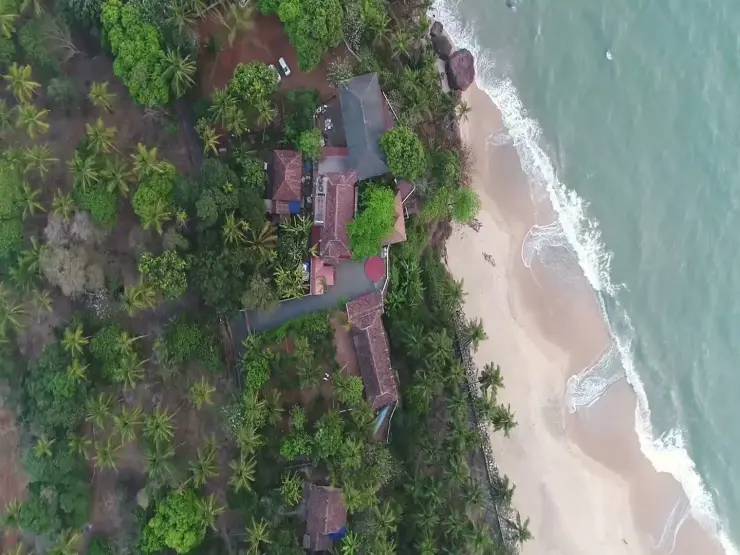
Understand how an Adikadalayi homestay relates to the beach below, with property history, meals and shore access kept specific.
The airport’s own “how to reach” page gives Mattannur as 5 kilometres away, and a bus from Mattannur bus station to the terminal takes about fifteen minutes. KSRTC runs services connecting the airport with Mattannur, Iritty and Kannur, and there are two prepaid taxi counters just outside the arrivals hall, operated by Ebix Cabs. The same official page gives Kannur town at 26 kilometres and Thalassery at about 26 kilometres, both around 45 minutes to an hour depending on traffic. Confirm current bus timings locally — they change.
Because Kannur has not been granted “point of call” status in India’s bilateral air services agreements, which is what allows a foreign carrier to run regularly scheduled services to a given airport. The Kerala government has pressed the case repeatedly and a parliamentary standing committee has recommended it, but the Union government’s stated position has been that new non-metro points of call are not being granted, and that Indian carriers should serve such airports instead. In practice that means Air India Express and IndiGo.
It falls in the Malayalam month of Kumbham, running from Kumbham 15 to 22 and ending with the arattu. Main events include thidambu nritham and the pulling of the theru through town. Devotional sources say elephants do not take part, but official pages do not state the rule; ask the temple about the current procession format.
There are three explanations and no settled answer. The best-known, given first by the Malayalam Wikipedia, derives it from മൃഡൻ (Mridan), an epithet of Shiva — Mridannur, Shiva’s place, worn down to Mattannur, which fits the town having grown up around its Mahadeva temple. A second traces it to Mottakunnu, the bald knoll, which describes the laterite domes the town is built on. A third points to a form written Pattinikad in old survey records. All three are in circulation locally.
Yes, directly. Pazhassi is a village on Mattannur’s edge that was merged into the panchayat in 1962 and is now part of the municipality, and it is the place from which Kerala Varma Pazhassi Raja takes his name. The Pazhassi Kovilakam of 1903 stands here in poor condition, and the Pazhassi Raja Smrithi Mandiram — built in koothambalam style over an old palace pond, with murals and an archive — was dedicated by the municipality on 30 November 2014, the anniversary of his death. His war with the East India Company is covered on our Pazhassi Dam page.
Both, honestly. It is a municipality of about 47,000 people with a temple at its centre, a courts-and-college cluster, a KINFRA industrial park at Velliyampara and paddy still growing inside the town limits — not a purpose-built airport settlement. But it is small, and most visitors are here for a flight. A realistic plan is a couple of hours: the Mahadeva temple, the Pazhassi memorial, and a look east at Puralimala, then back to the terminal.
Yes, in season — roughly October to May, at village shrines rather than on any stage. Kolams including Gulikan, the form of Yama, have been documented at shrines within a kilometre or two of Mattannur town centre. These are religious rites held to a ritual calendar, not scheduled performances, so dates must be asked locally at the specific kavu; do not assume a fixed programme. If you want a certainty rather than a chance, the daily theyyam at Parassinikadavu is the reliable option in this district.
Top places to visit in Mattannur and Airport include Kannur International Airport, Mattannur hotels, Airport prepaid taxi — each has a full guide with how to reach it and what to see nearby on this page.
The nearest airport to Mattannur and Airport is Kannur (CNN), in-district. The rail gateway is Kannur (CAN) or Thalassery (TLY).
October to March is the driest and most comfortable season to visit Mattannur and Airport and the rest of Kerala. The June–September monsoon is lush and green but wet, and often brings lower low-season prices.
Photographs: Vinayaraj (CC BY-SA 3.0), George Muttathil Pulikurumba (CC BY-SA 4.0), Arunmohanpavi (CC BY-SA 3.0), Medhzz (CC BY-SA 4.0). Wikimedia Commons.