What to expect
Highlights
- Paithalmala trek — Hill trek and viewpoint near the Karnataka border.
Highland trek and viewpoint near the Karnataka border.
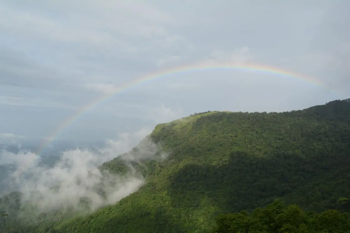
October to February is the settled local recommendation — less rain, firmer hill roads, and the long views open. June to September brings the streams and the two named falls, Vaithalkund and Ezharakund, to full flow but makes the tracks slippery and the last-mile roads unreliable.
Live forecast loads in your browser.
Sun and moon are calculated for this location and shown in IST. Photography windows are the hour around sunrise and sunset; the sunset bearing is degrees clockwise from true north. Moon phase is accurate to about half a day.
Paithalmala is a mountain first and a place-name second. At about 4,500 ft (1,372 m) it is the highest ground in Kannur district, standing on the Kerala–Karnataka border where the Kodagu forests begin roughly two kilometres to the north — but there is no town called Paithalmala. What the name covers on the ground is a scatter of highland hamlets in Taliparamba taluk that share the mountain between them: Kappimala and Manjappullu on the Alakode side, Kudiyanmala and Pottenplavu on the Eruvessi side, with Alakode town itself as the market, the bus stand and the bank. Two grama panchayats, two approaches, two very different sets of last-mile logistics. This record is about that settlement — the parish beneath the peak, and the two vanished sovereignties whose names the hill still carries.
The single most useful thing to understand before travelling here is that “Paithalmala” names a summit, not a settlement. Nobody lives at 1,372 m. The addresses that matter sit between roughly 150 m and 700 m on either flank of the ridge, and they are not even in the same local government. Kappimala and Manjappullu fall under Alakode grama panchayat; Kudiyanmala and Pottenplavu fall under Eruvessi, whose panchayat office and police station serve the eastern approach. Both are in Taliparamba taluk, both sit within Irikkur block, and both send their MLA to the Irikkur assembly seat. A visitor who books a room “at Paithalmala” without checking which side of the hill it is on can easily end up an hour and a half of hill road away from the gate they meant to use.
Alakode is the town. It is a market and service centre of around 33,173 people at the 2011 Census, spread across the three revenue villages of Alakode, Thimiri and Vellad, with a literacy rate of 95.38 per cent — above the Kerala average — and a sex ratio of 1,023 women to 1,000 men. It sits roughly 46 km north-east of Kannur city on the Taliparamba–Manakkadavu road, and the Kerala Hill Highway (SH 59) now runs through it, which has quietly changed its position from a dead end at the forest boundary into a link on a through route. Everything a traveller needs that the hill does not supply — fuel, an ATM, a chemist, a hot meal after a wet descent — is here.
Eruvessi, on the other side, is the older name and the quieter place: 19,216 people over 49.08 sq km at the 2011 Census, hilly and undulating, with reserve forest along its eastern edge against Karnataka. Kudiyanmala within it is small enough to be described in official listings as a hamlet, yet it carries a police station whose limits take in both Eruvessi and Naduvil villages, which tells you something about how thinly the state is spread up here. The altitude range in this one panchayat cluster is startling: Naduvil town sits at 159 m, and the ridge above Kudiyanmala tops 1,370 m.
The two front doors work differently, and this is where most published guidance goes wrong. The Kerala Tourism ecotourism listing describes two routes and grades them plainly: the Kappimala route beginning near Alakode is the hard one, “avoided by the faint-hearted”, while the Pottenplavu approach from Kudiyanmala is easier and “studded along with civilization”. A first-hand Malayalam trip account published in August 2025 records that the entry ticket for the hill is bought at Kappimala, in Alakode panchayat, and that the walk from the ticket point to the view point is about 4 km, with concrete steps laid on the steepest pitches and stream crossings concreted over. Which gate is issuing tickets on any given day is a question worth asking before you set out.
Look down from the ridge and you are not looking at wilderness. The valleys below are a worked cash-crop landscape: rubber, dried copra, pepper and arecanut are the produce Alakode is known for exporting, grown on gravelly clay loam over charnockite bedrock, and from the top the plantation rows, the scattered white houses and the coconut stands read as clearly as a map. Recognising that the middle distance of the famous view is somebody’s smallholding is a large part of understanding what this town is. The forest begins abruptly, higher up, and the boundary between the two is the whole economic story of the last eighty years.
Access to the hill above that boundary is a permission regime, not an open gate. Paithalmala is run as a forest-department eco-tourism site, ticketed and managed rather than free-access. The Kerala Tourism ecotourism listing gives working hours of 9.00 am to 5.30 pm and a charge of ₹30 for an Indian adult and ₹100 for a foreign national, and states in terms that availability is “subject to change based on climate and other conditions” — which in practice means the hill closes in bad weather without notice. The summit is also run as a plastic-free zone. Ring ahead; do not assume the trail is open because the road is.
Water is the other thing this settlement has in quantity. Two named falls on the massif, Vaithalkund and Ezharakund, appear in the Malayalam sources as the local landmarks, and there is a further waterfall at Kappimala itself, close to the roadhead. The 2025 trip account describes repeated small clear streams crossing the path on the way up and the party drinking from them — a fair record of how the hill behaves in the rains, though not advice we would repeat, since these are open catchments in a grazed and visited landscape. In the dry months the same streams shrink to nothing and you must carry every litre.
The pressure of visitors is the live local issue. A forest-department clean-up on the hill removed two lorry-loads of rubbish and liquor bottles, and reporting on the summit describes the observatory tower as structurally deteriorated with litter around it. A state project costed at ₹2.7 crore has been announced to widen and improve the climbing path, restore the hilltop watch-hut, add accommodation at the base and build a suspension bridge for viewing the waterfall — announced, on the record, but a traveller should treat the summit as unimproved until they see otherwise. Carrying your own rubbish back down to Alakode or Kudiyanmala is not a gesture here; it is the difference the site actually needs.
The hill answers to two names, and the argument between them is the most interesting thing in its folklore. Paithalmala and Vaithalmala are both current: the district administration writes “Paithalmala (also called Vaithalmala)”, tourism copy prefers Paithalmala, and village signboards and commercial addresses around Alakode still carry Vaithalmala. Malayalam Wikipedia hosts the page under Paithal Mala with Vaithal Mala given equal billing in the title. This is not a spelling nicety. Each form pulls the name towards a different story, and only one of those stories has a source behind it.
The sourced account runs through a person. During the period when the Mushika kings of Ezhimala held this country, the tract that is now Vaithalmala is held to have been the seat of naduvazhis known as the Vaithal Kons. William Logan, Collector of Malabar and author of the Malabar Manual, records the name of this northern Malabar hill as Vaithalmala, and revenue records made in the early twentieth century use the same form. On that reading the hill is named for its chieftains, and Paithal is a later drift of local pronunciation and spelling away from Vaithal.
Which brings us to the story this record refuses to tell. In Malayalam paithal means an infant or a small child, and mala means hill, so “Paithalmala” reads, to anyone who speaks the language, as the hill of the child. That is an invitation to a legend, and travel writing has occasionally taken it. We searched for one — in English and in Malayalam, across the ml.wikipedia article and its cited references, the panchayat and district pages, and Malayalam travel and folklore writing — and found no account of a child on this mountain. Naming the temptation is the honest thing to do here; inventing the child would be the dishonest one, and folk etymology dressed as legend is exactly the error that puts a story on a page that the place never told about itself.
The documentary chain is not perfectly clean either, and it is worth saying so. A page from an 1880s Basel Mission publication, reproduced on Wikimedia Commons and cited by the Malayalam Wikipedia article itself, lists the heights of the northern Malabar hills — Pushpagiri, Thadiyandamol, Brahmagiri at 4,500 ft — and among them prints the name in the form പൈതൽ, Paithal, reckoning the hill at only 2,000 to 3,000 feet. So a printed source from the 1880s already uses the Paithal form, which sits awkwardly with the tidy claim that Paithal is a modern corruption of a documented Vaithal. Both names are old. The record should say that rather than smooth it.
The man himself is called several things: Vaithal Kon, Vedian Kon, Vaithal Koovan, Vaithalakan. He is remembered as an adivasi king, a powerful ruler whose territory took in what became part of Kannur district, and whose moolakudumbam — the ancestral house of the lineage — stands at Chemprakanam in Kasaragod district. The ruins on the heights are described inconsistently even within a single Malayalam source: in one paragraph as the remains of Vaithalakan’s ancient palace, in the next as Vedian Kon Kotta, a fort put to military use. Both descriptions circulate; neither rests on an excavation report. Treat the stones as remembered rather than surveyed.
What makes this more than an etymology is that it is still observed. The mountain is a sacred place to the Vaithal Kon family, and the legend held locally is that Vaithal Kon ended his own life on Paithalmala. His descendants have, for generations, climbed the hill to perform pujas and vazhipadu there. Malayalam Wikipedia also records an ambalathara — a temple platform — on the hill, reckoned at more than five hundred years old, a figure the article itself flags as uncited. The 2025 trekker was told by a companion that a short walk on from the view point brings you to a temple bound up with the old story behind the hill’s name, and left it for another visit. Whatever the archaeology says, this is a shrine landscape and not merely a viewpoint, and visitors should behave on the summit as though it is.
One absence, stated with the method: we looked specifically for a theyyam of Vaithal Kon. In North Malabar a remembered hero who dies in a marked place very often becomes a theyyam deity, so the expectation is reasonable, and we searched in Malayalam for വൈതൽ കോൻ തെയ്യം and for worship at Chemprakanam. We found no sourced theyyam kolam for him. That is not proof that none exists — theyyam calendars are local and poorly documented online, and the family shrine tradition may simply never have been written up — but the observance we can actually source at Paithalmala is family puja on the hill, not a performed kolam, and we will not upgrade one into the other.
The mountain also carries lore that has nothing to do with kings. Growing in quantity on these slopes is a plant the local Malayalam calls അങ്കര, ankara: brush against it and you can expect itching, body pain and a hard fever, and elephants are said to give it a wide berth. It has passed into speech — “don’t make it ankara” is a turn of phrase in this belt, an entire warning compressed into an insult, which is a surer sign of long human familiarity with a hill than any brochure. And there is the shape: seen from a distance across the valleys, Vaithal is said to stand in the outline of an elephant.
The oldest layer here is frontier. This corner of the Ghats lay where the reach of the Mushika kings of Ezhimala thinned out into hill country, and the Vaithal Kons held it as naduvazhis rather than as any distant king’s garrison. It was a thinly peopled zone of shifting cultivation, hill produce and forest paths towards Kodagu, and it stayed that way long after the coastal ports of north Malabar had become names in European trading records.
The second layer belongs to Eruvessi, and it is genuinely unusual. The village was ruled by the Mannanar dynasty, a Thiyya ruling house — that is, a house from a community that in most of Kerala’s history held no such position — seated at Muthedath Aramana and Elayidath Aramana, with five aramanas in all: Moothedath, Elayidath, Puthan, Puthiyidath and Mundaya. The Mannanars held feudatory status, followed marumakkathayam succession through the female line, and were installed by the ariyittuvazhcha ceremony. Ethnographic accounts collected under British rule, which are the main documentation we have, record that they enjoyed privileges normally reserved to higher castes — travelling in palanquins, bearing sword and shield — and that they gave asylum to outcast Namboodiri women. Those accounts descend from Logan and Thurston and carry all the caveats that colonial caste ethnography carries.
The Mannanar line ends on a date. Kunji Kelappan, the last Mannanar sthani, was killed by unidentified assailants on 27 March 1902, and the properties passed into the trusteeship of the Chirakkal Kovilakam. Ruins of the aramanas are reported still visible on the banks of the Eruvessi river. It is a striking thing that a district best known for Theyyam — the ritual in which the low-caste performer becomes the god — also held, into the twentieth century, a low-caste house that was literally sovereign, and that both facts belong to the same few square miles of hill country.
British administration brought forest boundaries, revenue survey and the written record that fixed the name Vaithalmala on paper. The 1880s Basel Mission listing that gives the hill a height of 2,000–3,000 feet shows how loosely the interior was still measured at that date. Malayalam Wikipedia adds that the vayana or true cinnamon growing here — a tree whose trunk runs long and straight without a bend — was used for railway sleepers in the British period, a claim the article itself marks as needing a source, so we pass it on as tradition rather than fact.
The layer that made the present landscape is the Malabar migration. From 1943, organised settlement of Travancore Christian farming families in Malabar was set in motion by the Syro-Malabar Archeparchy of Kottayam under Bishop Mar Alexander Chulaparambil, and Alakode became one of its major centres; on the Eruvessi–Naduvil side the movement ran from the 1950s into the 1970s, with the first Mass said at Naduvil in 1953. The Christian population of Malabar rose from 31,191 in 1931 to 442,510 by 1971. Forest and hill land became rubber, pepper, arecanut and cashew, and the parish became the unit of settlement. St Mary’s Forane Church at Alakode, white and domed above the river, is the visible monument to it — and the reason this highland town looks, sounds and eats differently from the Kannur coast forty kilometres away.
Use Alakode as a base rather than a waypoint: it is the only place in this hill belt with buses, fuel, an ATM and a proper meal, and it puts both approaches to the peak within reach.
Understand the mountain’s two names before you climb it — Paithal and Vaithal are both in use on signboards, tourism copy and official pages, and the argument between them is the local history in miniature.
Stand where two panchayats share one summit: Kappimala and Manjappullu in Alakode, Kudiyanmala and Pottenplavu in Eruvessi, with a 1,200-metre altitude range between the valley towns and the ridge.
See a working Western Ghats cash-crop belt from above — rubber, pepper, arecanut and coconut on gravelly clay loam, with the forest boundary drawn hard across the slope.
Trace the Mannanar dynasty, a matrilineal Thiyya ruling house whose five aramanas stood at Eruvessi and whose last sthani was killed in 1902 — one of the most unusual sovereignties in Kerala’s history.
Visit St Mary’s Forane Church at Alakode, the plainest possible monument to the Malabar migration that turned this forest frontier into a parish within a single generation.
Entry: ₹30 per Indian adult and ₹100 per foreign national for the Paithalmala trek, per the official Kerala Tourism ecotourism listing. The ticket is issued at the base — a first-hand August 2025 account records buying it at Kappimala on the Alakode side. There is no charge for Alakode, Kudiyanmala or the roads themselves.
Alakode is the transport hub: buses run from Kannur and Taliparamba, and the Kerala Hill Highway (SH 59) now passes through the town. Kudiyanmala on the Eruvessi side is served on the Taliparamba–Naduvil axis. Nearest railheads are Kannapuram and Kannur; Kannur International Airport is about 46 km away. Last-mile transport thins out sharply above the towns — arrange the return leg before you go up.
Check your return bus or ferry with the operator before setting out. Leave time to reach the stop or jetty after your visit, and arrange a return vehicle in advance for a remote outing.
Ask at the jetty or the stand for the time of the last service back, not the next one. If you miss it, an auto or a taxi is the fallback — agree the fare before you get in.
If you need step-free access, contact the site before travelling. Ask about a level entrance, steps along the route, the nearest drop-off point, seating and accessible toilets.
Emergency numbers are verified against official government and state tourism sources. 112 works anywhere in India.
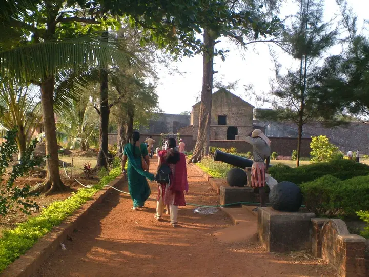 Fort and beach base
Sea fort, beaches and Theyyam-season access.
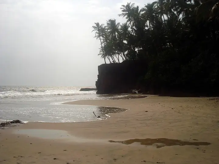 Beach homestay base
Quiet homestay-and-Ayurveda belt about 8 km south of Kannur city, where three laterite-walled coves — Thottada, Kizhunna and Ezhara — run in a row and almost every business is somewhere to sleep.
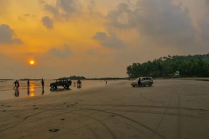 Beach and food base
Drive-in beach, colonial fort and biryani town.
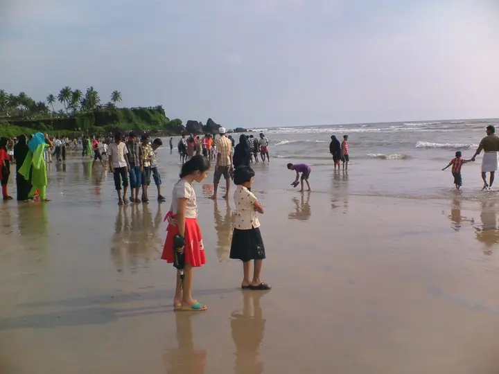 City beach base
Easy beach area close to Kannur town.
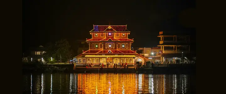 Temple and family base
Muthappan temple, Vismaya and Kannur University side stays north of Kannur city.
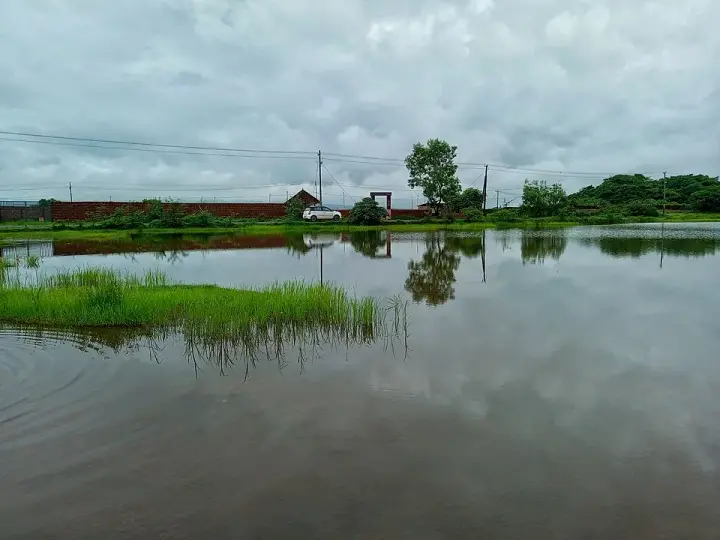 Laterite plateau base
Biodiversity plateau and heritage landscape near Pazhayangadi.
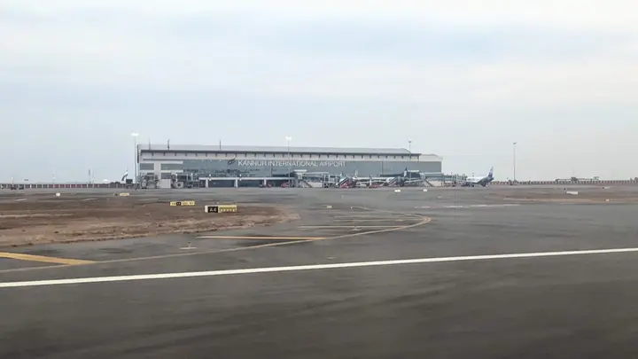 Airport transfer base
Kannur International Airport, Mattannur hotels and arrival/departure transport planning.
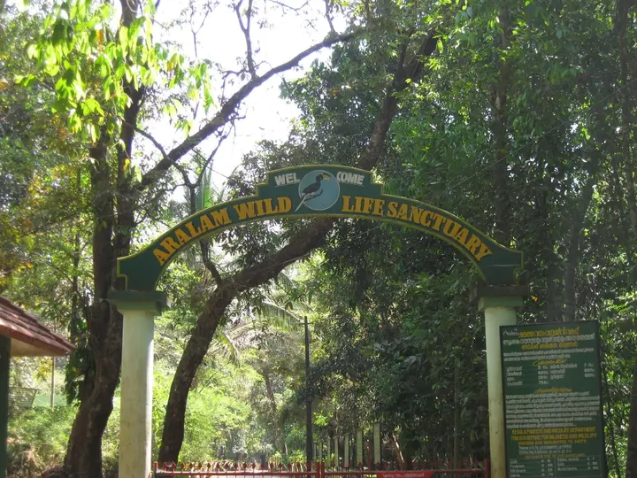 Wildlife base
Eastern forest sanctuary and highland village belt.
Kannur district is known for: Theyyam ritual arts, St. Angelo Fort, Muzhappilangad drive-in beach and Aralam forests.
Every verified place in Paithalmala — filter by what you’re after.
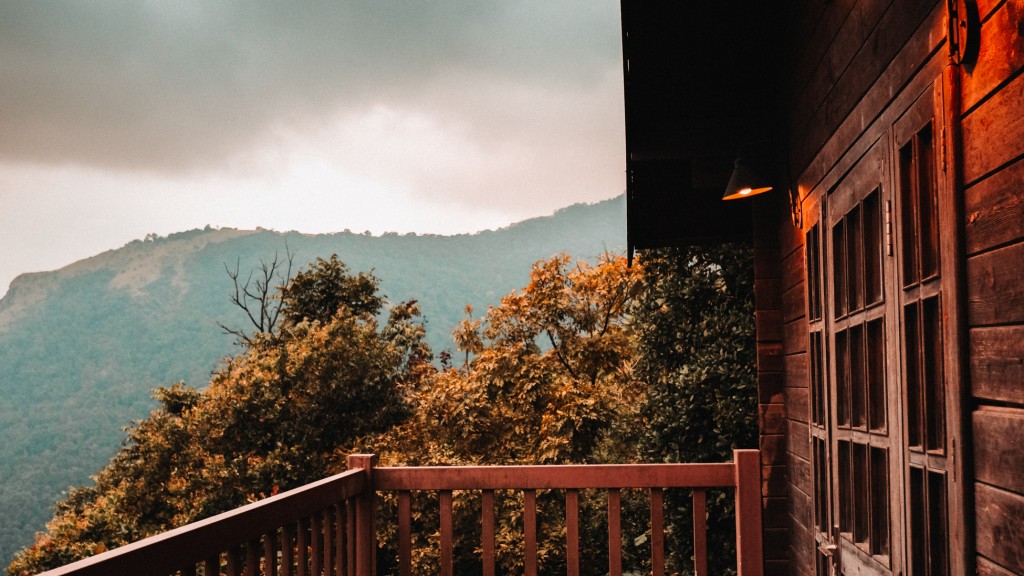
Hill resort restaurant in Paithalmala. Paithalmala, Kannur district, Kerala · paithalmala, eat, Hill resort restaurant.
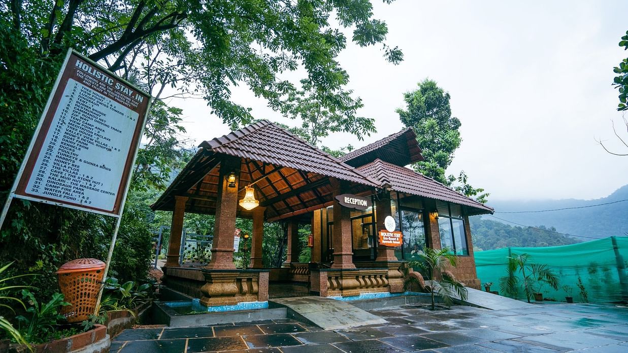
Eco resort in Paithalmala. No. 2/199, Paithalmala Road, Pottenplave, Chandanakampara, Vanchiyam, Kerala 670582 · stay, Eco resort, Holistic Eco-Resort Paithalmala.

Local Paithalmala guide, accommodation and trekking-support source for visitors needing practical hill-route help.

Paithalmala is Kannur highland trek and viewpoint, best planned with weather, route, leech/rain and return-transport checks. Paithalmala, Pythal Mala, Kannur trek.
Official forest ecotourism trekking in Paithalmala. Manjapullu and Paithalmala, Kannur district, Kerala · Paithalmala, Official forest ecotourism trekking, paithalmala.
Kerala Tourism-listed resort in Paithalmala with trekking and campfire context. Paithalmala stay, Hill resort, Trekking base.
Book with the place itself. India’s cyber-crime coordination centre warned in April 2025 that convincing copies of hotel and pilgrimage booking sites are being pushed through sponsored search and social ads, taking payment for rooms the property never hears about. Every listing here links to the business’s own contact details and its own Google or Bing profile — we take no commission and sit in nobody’s payment path. If a booking page reached you through an ad, check the address bar against the property’s own site before you pay. Fraud can be reported on cybercrime.gov.in or on 1930.
The best tourist places to visit in Paithalmala — temples, viewpoints, lakes, heritage and nature, each with a full guide, how to reach it and what to see nearby.
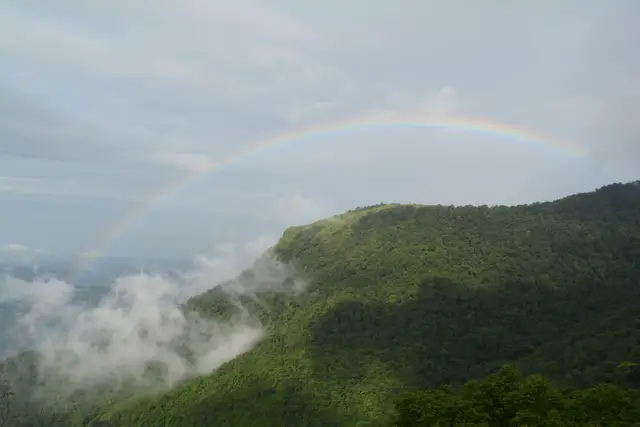
Hill trek and viewpoint near the Karnataka border.
Open guide →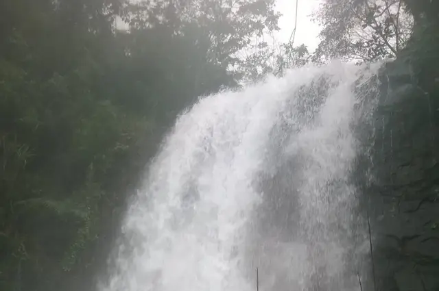
Kappimala is a tourist place in Paithalmala used for route planning, visit timing, and nearby stays, food, transport and local services across Paithalmala, Kannur, Kerala, India. Use this guide to plan the route, check access context and find relevant local options as verified listings are added.
Open guide →Kudiyanmala routes is a tourist place in Paithalmala used for route planning, visit timing, and nearby stays, food, transport and local services across Paithalmala, Kannur, Kerala, India. Use this guide to plan the route, check access context and find relevant local options as verified listings are added.
Open guide →Official/public-sector eco offerings mapped to this town base. Always confirm current availability, tariff, permits and reporting time before travelling.
About 5 km trek through semi-evergreen shola forest and grassland to a high viewpoint above Kannur and Coorg valleys.
Official source →Roampedia is commission-free. Travellers discover your business, book directly and contact you through official details. Basic listings are free, while Gold and Platinum package upgrades can be requested from the owner dashboard after approval.
We have not published a story about Paithalmala itself yet. These cover Kannur, the district it sits in, and travel in Kerala generally.
We have not published a story about a place in Paithalmala itself yet. These are the nearest things we have written.

For a few hours, at a village shrine in north Kerala, an ordinary man in towering costume and fire becomes a god — and the whole community comes to be blessed. This is Theyyam, and nothing else in India is quite like it.
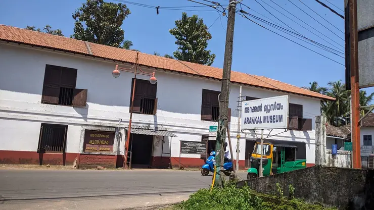
A laterite fort on the Kannur shore carries four centuries of Malabar history — Portuguese, Dutch, Arakkal and British — and a rare story: Kerala’s only Muslim royal house, which could be ruled by a queen.
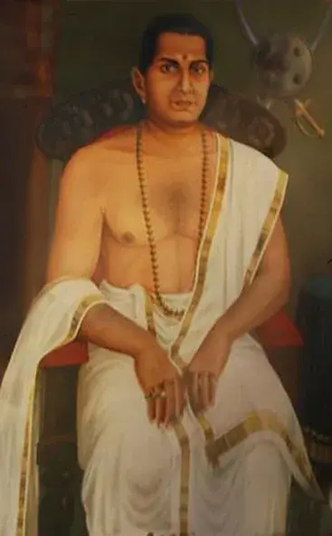
One of India’s earliest freedom fighters waged the longest war the East India Company ever fought on Indian soil — from the forests of Malabar. This is the story of Pazhassi Raja.
Route-level itineraries and practical guides for the rest of the state.

Look at the relationship between Adikadalayi’s red coastal edge, narrow sand and homes above the Arabian Sea.
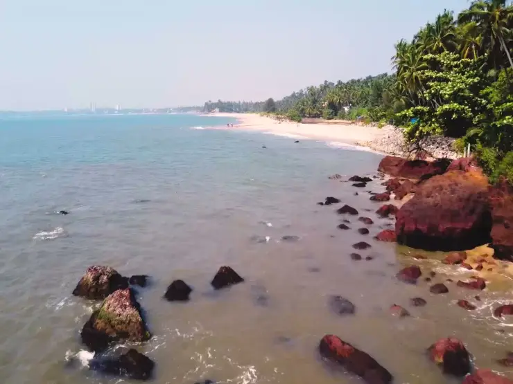
Understand the ground-level shore before planning a walk between Adikadalayi’s sandy sections and rocky edges.
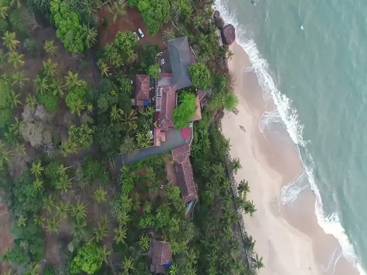
Understand how an Adikadalayi homestay relates to the beach below, with property history, meals and shore access kept specific.
No. Paithalmala is the name of the mountain — the highest point in Kannur district at about 4,500 ft (1,372 m) — and the settlements that use the name are hamlets around its base in Taliparamba taluk. Kappimala and Manjappullu lie in Alakode grama panchayat; Kudiyanmala and Pottenplavu lie in Eruvessi. Alakode, about 46 km from Kannur city, is the market town for the whole belt and the practical base for a visit.
The Kerala Tourism ecotourism listing grades the Kappimala route from near Alakode as the harder of the two and the Pottenplavu route from Kudiyanmala as the easier, more inhabited approach. A first-hand Malayalam account from August 2025 records the entry ticket being issued at Kappimala on the Alakode side. Because the two bases sit in different panchayats and are a long hill drive apart, confirm which gate is open and ticketing before you commit to a side.
The official Kerala Tourism ecotourism listing for the Paithalmala trek gives ₹30 for an Indian adult and ₹100 for a foreign national, with working hours of 9.00 am to 5.30 pm. The same listing states that availability is subject to change with climate and other conditions, so the hill can be closed in bad weather at short notice. The summit is run as a plastic-free zone by the forest department.
Both forms are in use. The documented explanation is that the tract was the seat of chieftains called the Vaithal Kons under the Mushika rulers of Ezhimala, and that William Logan’s Malabar Manual and early twentieth-century revenue records give the name as Vaithalmala, with Paithal as a later shift in local pronunciation. It is not quite that tidy, though: a Malayalam page from an 1880s Basel Mission publication already prints the name as പൈതൽ. Both names are old, and official sites now write them together.
Paithal does mean an infant or small child in Malayalam, which makes the reading tempting — but we found no legend of a child on this mountain in English or in Malayalam, in the ml.wikipedia article and its references, the panchayat and district pages, or Malayalam travel and folklore writing. The sourced explanation runs through the chieftain Vaithal Kon. We are not inventing a child story to fill the gap.
Alakode was one of the major destinations of the organised migration of Travancore Christian farming families into Malabar begun in 1943 under the Syro-Malabar Archeparchy of Kottayam. On the Eruvessi and Naduvil side the movement ran from the 1950s into the 1970s, with the first Mass said at Naduvil in 1953. That migration is why the valleys below Paithalmala are planted with rubber, pepper, arecanut and cashew, and why St Mary’s Forane Church stands where it does above the Alakode river.
In part, yes. The mountain is a sacred place to the Vaithal Kon family, whose ancestral house is at Chemprakanam in Kasaragod district; the legend held locally is that Vaithal Kon ended his life on the hill, and his descendants have climbed it for generations to perform pujas and offerings. Malayalam Wikipedia records a temple platform on the hill reckoned at over five hundred years old, a figure the article itself flags as uncited. Treat the summit accordingly.
Top places to visit in Paithalmala include Paithalmala trek, Kappimala, Kudiyanmala routes — each has a full guide with how to reach it and what to see nearby on this page.
The nearest airport to Paithalmala is Kannur (CNN), in-district. The rail gateway is Kannur (CAN) or Thalassery (TLY).
October to March is the driest and most comfortable season to visit Paithalmala and the rest of Kerala. The June–September monsoon is lush and green but wet, and often brings lower low-season prices.
Photographs: Prof tpms (CC BY-SA 4.0), Vijayanrajapuram (CC BY-SA 4.0), Sivahari (CC BY-SA 3.0), Rejinns (CC BY-SA 4.0). Wikimedia Commons.