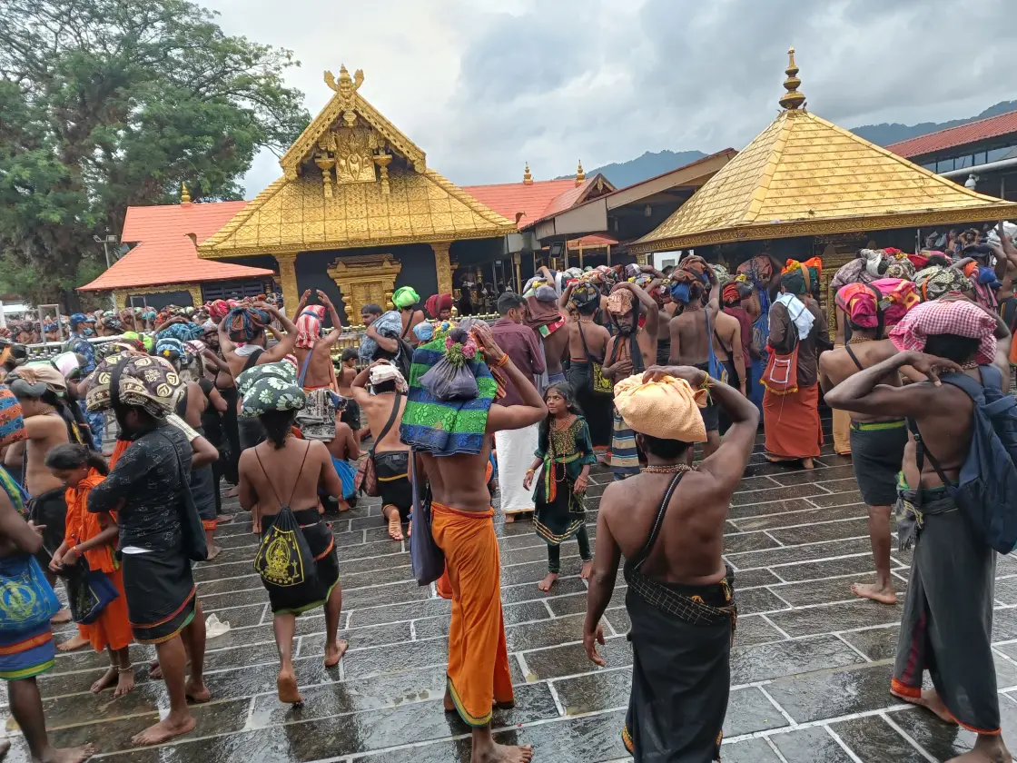
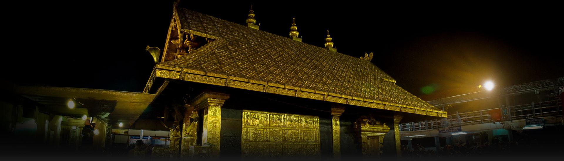
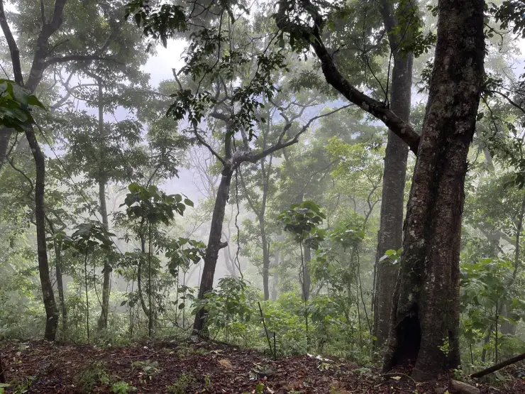
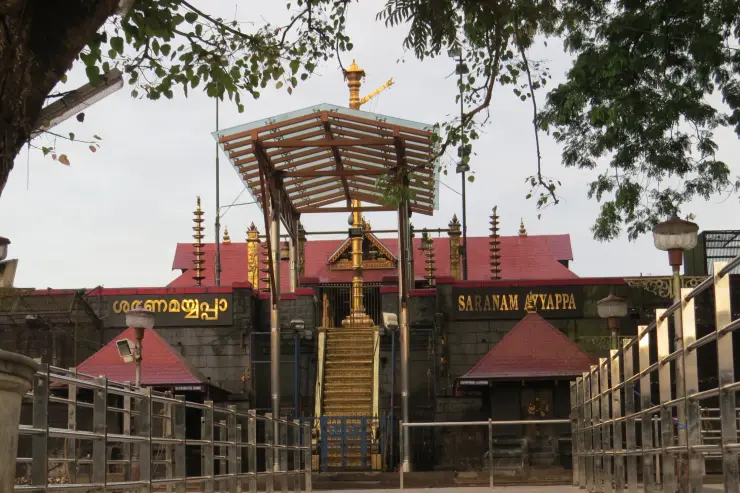
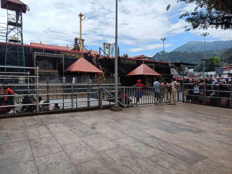
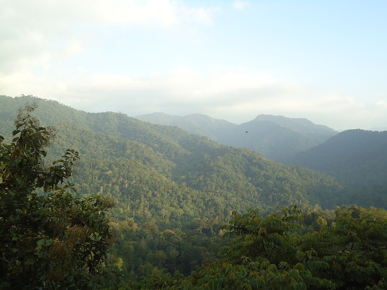
Sabarimala and Pamba is the strangest "town" in Kerala, because for most of the year it is not one. There is no permanent bazaar here, no municipality, no resident population to speak of — only forest, a river, and a road that ends. Then, for about two months of the Mandala–Makaravilakku season, this stretch of the Periyar Tiger Reserve becomes one of the largest temporary settlements on Earth: a base camp at Pamba, a vehicle city at Nilakkal, and a footpath through the hills carrying a continuous river of pilgrims. Understanding this place means understanding the approach rather than the shrine — how you get in, where the walking begins, and why every hill on the way has a name and a story of its own.
Start with the geography, because it explains everything else. The shrine stands deep inside a tiger reserve, and there is no motor road to it. That single fact has shaped the entire apparatus around it. Vehicles must stop somewhere, pilgrims must gather somewhere, and the last stretch must be walked. Nilakkal and Pamba are the two answers to that problem, and they do different jobs.
Nilakkal is the vehicle base. It sits on the higher ground where the approach roads converge, and it is where private cars and buses are increasingly held, with shuttle services running the last stretch down to Pamba. It exists because the Pamba valley is narrow and cannot absorb season-time traffic; parking tens of thousands of vehicles beside a river inside a tiger reserve is neither possible nor desirable. If you drive yourself, Nilakkal is where your journey by car quietly ends (vehicle rules and shuttle arrangements change season to season).
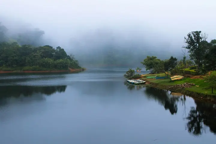
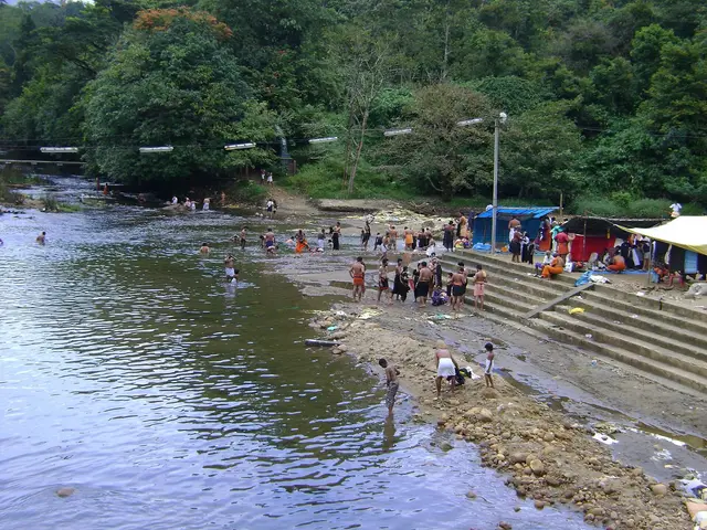
Pamba is the base camp proper, and it is the emotional threshold. It is the road-head: the last place a wheel turns. Pilgrims bathe in the river here before beginning the climb, and the bathing is not incidental — it is the point at which the journey changes character. Behind you is transport; ahead is walking. The Pamba is treated as a sacred river in its own right, often called the Dakshina Bhagirathi, the Ganga of the south, and the bath at its ghats is a purification before the ascent rather than a refreshment after the drive.
From Pamba the walk to the shrine is short by pilgrimage standards — commonly given as about five kilometres, taking most people two to three hours — but it is genuinely steep, and the first hill, Neelimala, is the hardest part of it (season-time queueing can add many hours to any estimate).
The other approach is far older and far longer. The traditional route begins at Erumely — which is in KOTTAYAM district, not Pathanamthitta, a distinction worth keeping straight — and runs roughly forty-six kilometres through forest, taking two days or more. Almost nobody walks it now compared with the numbers arriving at Pamba by bus, but it is the route that gave the pilgrimage its map of named places, and every one of those names carries a story. That is this town's real inheritance, and it is the subject of the section below.
What is worth grasping, if you are trying to picture the place rather than the crowd statistics, is the rhythm. For most of the year Pamba is a quiet river in a forest and Nilakkal is a bus stand with nothing to do. Then the season arrives, a temporary city assembles — sanitation, queue management, medical posts, food, transport — and for weeks the valley never fully sleeps. Then it empties, and the forest takes the space back. Very few places anywhere are built to be full and then deliberately unbuilt, year after year.
Legend & myth
The shrine has one great legend, and it is told on its own page. The path has an entirely different body of stories, and this is where they belong — because on the traditional route from Erumely almost every halt is a place where something is said to have happened, and pilgrims still perform small acts at each one. Walked end to end, the route is less a hike than a sequence of shrines strung along a mountainside.
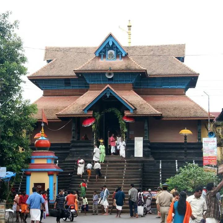
It begins, unusually for a Hindu pilgrimage, at a mosque. At Erumely pilgrims pay respects at the mosque and mausoleum associated with Vavar Swamy, remembered in tradition as a Muslim companion of Ayyappa. Devotees visit both the Dharmasastha temple and the Vavar shrine before setting out, and the pre-trek dance known as the Petta Thullal — pilgrims daubed in colour, moving through the town in a wild, joyous procession — belongs to Erumely rather than to the hill. That a Hindu forest pilgrimage formally begins with an act of respect at a Muslim shrine is the single most remarked-upon feature of the whole tradition, and it is not a modern gloss; it is embedded in the route itself.
Beyond Erumely the path crosses the Peroorthodu stream, about four kilometres on, and reaches Kalaketty some six kilometres further. Two kilometres past that is Azhutha, a tributary where pilgrims perform an act that is one of the most physically odd and most quietly moving in Indian pilgrimage: they pick a pebble from the riverbed and carry it uphill. The climb from Azhutha is stiff, and the stone is carried the whole way to the summit at Kallidamkunnu, where it is dropped. The explanation usually given is that the stones are offered at the spot where the demon Mahishi's body was cremated, each pilgrim adding one to the cairn. Whatever reading you prefer, the practical shape of it is unmistakable — you are made to carry something useless and heavy up a hard hill and then let it go, and the meaning of that needs no interpreter.
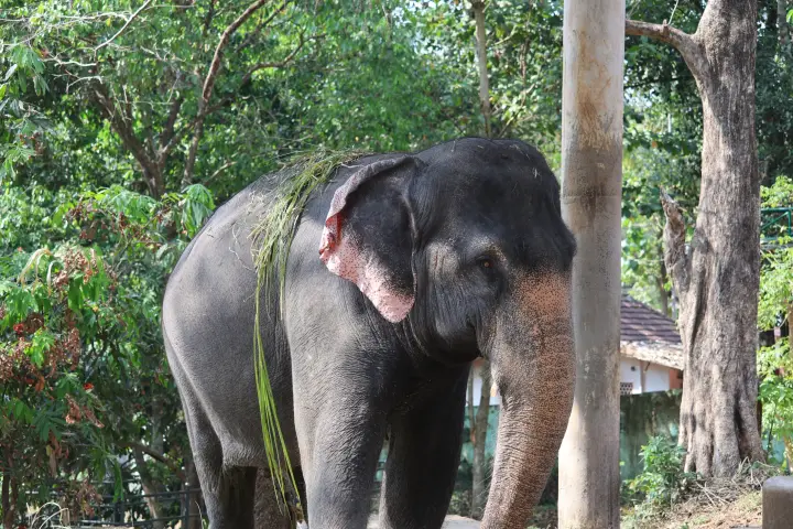
Further along stands Inchipparakotta, associated with a battle and with a Kottayil Sastha temple, and then Mukkuzhy, a valley resting point with its own small temples where the route levels enough to breathe. Then comes Karimala, which pilgrims speak of with genuine respect. It is the hardest section of the traditional route — described as a climb through eight distinct levels — and it runs through forest that is real elephant country. The old accounts are frank that this is the stretch where the pilgrimage stops being symbolic hardship and becomes actual risk. From Karimala the path descends through Valiyanavattom and Cheriyanavattom to the Pamba, where the traditional route rejoins the modern one and the two streams of pilgrims become a single crowd.
The last five kilometres carry the densest concentration of legend. Neelimala, the first and steepest hill above Pamba, is said to take its name from Neeli, described in tradition as a servant of the sage Mathanga. Above it lies Appachimedu, a shoulder of ground beside deep gorges, where pilgrims throw offerings of rice into the ravine. The usual explanation is that the offering is made to appease spirits said to inhabit the gorges, so that the party may pass unharmed — a propitiation of the landscape itself rather than of any deity in a shrine.
Then Sabaripeedam, which is the reason the hill is called Sabarimala at all. This is identified as the seat of Shabari, the ascetic devotee of the Ramayana, and the place where Rama is said to have granted her moksha. It is a striking piece of layering: a Vaishnava episode from the Ramayana anchored on the approach to a Sastha shrine, giving the mountain a name older than the pilgrimage that made it famous.
The last halt before the shrine precinct is Saramkuthi, and its ritual is the one first-timers remember for life. Tradition holds that it was here that Ayyappa and his forces laid down their weapons after defeating the bandit Udayanan. A pilgrim making the journey for the first time is a Kanni Ayyappan — a ‘first-year’ Ayyappan — and carries a ritual arrow, a saram, from the start. At Saramkuthi the arrow is planted in the ground and abandoned. The weapon is surrendered before the sanctuary is entered, and the pilgrim goes the rest of the way carrying nothing but the irumudi. It is a disarmament rite at the end of a forest road, and it closes the route's story as cleanly as it began it — which began, remember, at a mosque.
More about Sabarimala and Pamba
History
The documented history of this stretch is short, because until roads reached it there was very little here to document. What history it has is mostly the history of access — and one episode that had nothing to do with pilgrimage logistics at all, and a great deal to do with modern Kerala.
On 24 March 1983, news spread that a stone cross had been set up at Nilakkal. Christians who had found it held that it marked the site of an ancient church, associating it with the Saint Thomas tradition, and a thatched shelter was raised over it for daily prayers. A Nilakkal Action Council was formed to build a church at the spot, and the state government allotted land for it. Hindu organisations objected on the grounds that the site lay within the Sabarimala Poonkavanam — the sacred forest precinct of the shrine — and a confrontation followed that ran for roughly seven months and drew in political organisations from across the state.
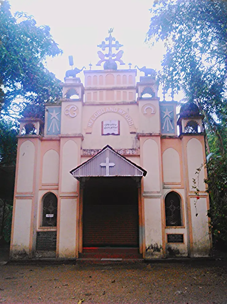
It was resolved on 15 November 1983, when the cross was removed from the Poonkavanam and the church was instead built on land allotted a few kilometres away, where the St Thomas Ecumenical Church stands today. The agitation is widely regarded by historians and journalists of Kerala politics as a turning point — the episode through which the Sangh Parivar gained a durable organisational foothold in a state where it had previously had little. That is a contested and politically live assessment, and it is offered here as the reading commonly found in accounts of the period rather than as settled fact. What is not contested is that a dispute over a cross on a forest hill became one of the defining communal flashpoints of late-twentieth-century Kerala.
The rest of the modern story is infrastructure. As numbers grew from thousands to millions, the valley had to be re-engineered around them: sanitation and bathing facilities at Pamba, Nilakkal and the shrine precinct, medical posts, queue systems and, latterly, online booking and virtual queues. Nilakkal's role as the vehicle base grew directly out of the impossibility of parking a season's traffic at Pamba.
The most severe recent disruption came with the floods of August 2018, when Kerala saw its worst flooding in close to a century. The Pamba valley was badly hit and the base-camp infrastructure had to be substantially rebuilt ahead of the following season. It was a reminder of something the pilgrimage has always known and the engineering can only partly answer: this is a river valley in a monsoon forest, and the river has the final say.
Why visit
To see how a pilgrimage actually works from the outside — not the sanctum, but the machinery and the walking that get people to it. Pamba during the season is one of the most extraordinary logistical spectacles in India.
For the route itself. Even walking a short section above Pamba, you pass Neelimala, Appachimedu, Sabaripeedam and Saramkuthi — four named places with four distinct stories — inside about five kilometres.
For the river. The Pamba at the ghats, treated as the Dakshina Bhagirathi, is the threshold of the whole journey, and the moment of the bath is the moment the pilgrimage begins in earnest.
For the forest. This is the Periyar Tiger Reserve, and outside the season the silence of the place is difficult to reconcile with the crowds that fill it in December.
For Nilakkal, if you have any interest in modern Kerala — a quiet forest clearing that was, for seven months of 1983, one of the most contested pieces of ground in the state.