What to expect
Highlights
- Trek route around Aranamala Peak
- Western Ghats landscapes and viewpoints
- Guided operator and permit planning
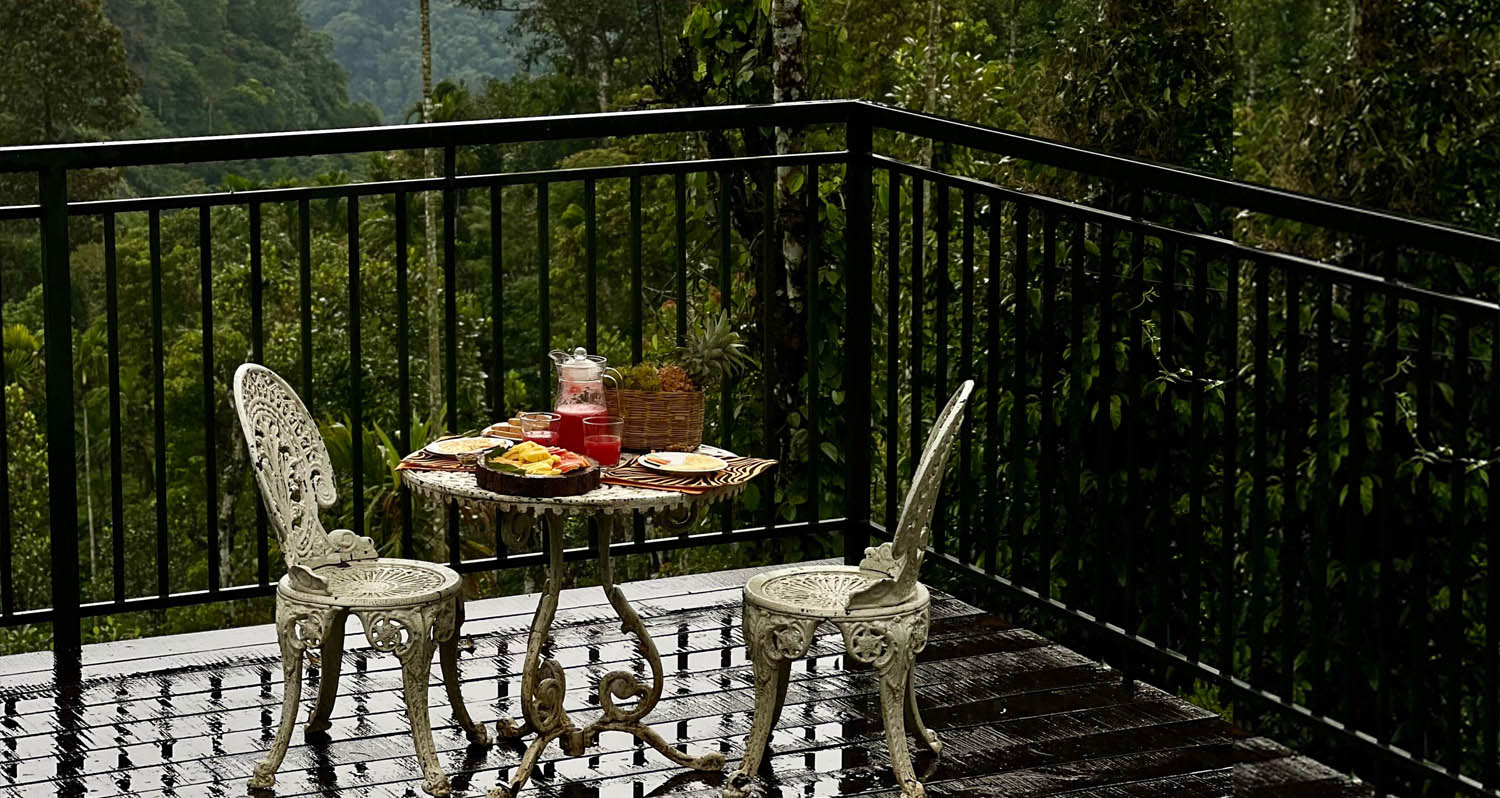
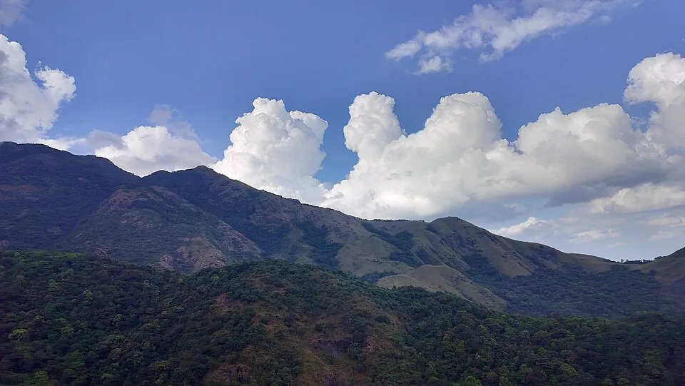
Meppadi-side hill and trek landscape around Aranamala, best planned with local route, weather and access checks.
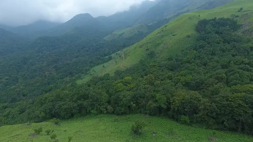
A grassland-crowned ridge hidden in the Vellarimala country beyond Meppadi, Aranamala is the Wayanad trek that most visitors never hear about — cardamom forest, a stream that becomes your only signpost, and a waterfall at the end of the map.
Aranamala sits in the folded highlands south of Meppadi on the Wayanad flank of the Vellarimala range. Unlike busier Chembra, it is a run of steep grassy hills, mist-pooled valleys and shola-fringed slopes reached on foot after a rough four-wheel-drive approach through estate country. Mobile signal and official signage are limited, so the trek needs an experienced local guide and a prearranged return.
Access needs care, and it is the first thing to settle rather than the last. Aranamala stands on the same Vellarimala massif whose slopes failed above Mundakkai and Chooralmala in the early hours of 30 July 2024, destroying both settlements and killing hundreds; a further landslide at Kalladi on 7 July 2026 killed three more and left five missing. Older route descriptions for this peak sent visitors along the Chooralmala road with a diversion near Kalladi. That is a bereaved community and a rehabilitation landscape, and the ground itself has failed twice in two years. Do not plan an approach from a webpage: ask the South Wayanad Forest Division and the district administration what is currently permitted, and accept the answer (confirm before travelling).
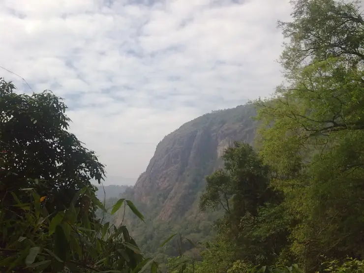
Higher up, the more the plantation belt gives way to something older and rawer: verdant hills wrapped in what visitors describe as an emerald carpet of grassland, with dark ribbons of shola forest tucked into the wetter creases and folds. Sunrise and sunset are the moments people remember most, when low golden light spills across the ridges and the valleys below fill with drifting mist.
Aranamala is also cardamom country. Some of the best cardamom plantations in the Meppadi highlands are said to lie in and around these hills, and the classic trek threads straight through them — the scent of cardamom, the shade of tall canopy trees, and then a meandering forest stream that becomes the trekker’s guide all the way to a hidden waterfall. It is a moderate but genuinely wild walk, often described as roughly a few kilometres of stream-tracing rather than a groomed staircase trail; expect to scramble over large rocks, wade shallow pools and occasionally slip and tumble where the granite is wet.
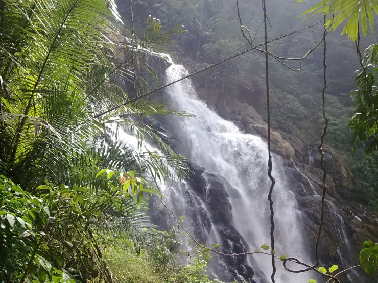
The waterfall itself is the payoff — a cold, clear cascade dropping into a pool that trekkers routinely call bracingly, almost painfully cold, ringed by dense forest. Along the way there are smaller cascades and natural pools tempting enough to soak tired legs in. In the drier months after the monsoon the stream is a companionable guide; when the rains swell it, the same route turns into a far more adventurous, water-heavy scramble that should only be attempted with an experienced local guide.
Ecologically this is Western Ghats high country, floristically and faunistically akin to the neighbouring Nilgiris, and much of the terrain falls under the Meppadi Forest Range and the wider Wayanad Wildlife Sanctuary landscape — which is precisely why access is regulated and a guide (and sometimes forest permission) matters. The grassland-and-shola mosaic here is the classic signature of the southern Western Ghats: open montane meadow on the exposed ridges, evergreen shola in the sheltered hollows, and streams running clear off the tops.
What makes Aranamala worth the effort is exactly what keeps it obscure. There is no ticket counter theatre, no built-up viewpoint, no crowd — just estate tracks, cardamom shade, a talking stream and a ridge where the grass runs to the horizon. It rewards travellers who want Wayanad the way it feels before the buses arrive, and it pairs naturally with the marquee sights nearby — Chembra Peak, Soochipara (Sentinel Rock) Waterfalls and the Meppadi tea belt — for anyone building a slower, wilder few days in the district.
Aranamala belongs to the Vellarimala massif, a mountain range that straddles Meppadi Panchayat in Wayanad district and Thiruvambadi Panchayat in Kozhikode district. Vellarimala forms part of the Camel’s Hump Mountains of the Western Ghats and is semi-contiguous with the Nilgiris across the Chaliyar valley, which is why its plants and animals so closely echo the Nilgiri Hills to the east.
This is some of the highest ground in the region. The tallest peak of the range, Vavul Mala, rises to about 2,339 m and is the highest point of the Western Ghats north of the Nilgiris, while Vellarimala itself reaches roughly 2,240 m at the trijunction of Wayanad, Kozhikode and Malappuram — the highest point in Wayanad. Aranamala is one of the lesser-known highland pockets within this larger sweep of ridges and valleys, and precise, published figures for its own summit height are not well documented.
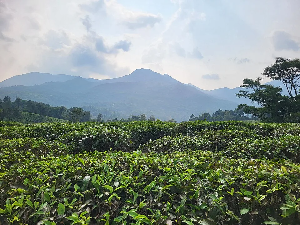
For generations the human story of these slopes has been a plantation story. Meppadi lies at the heart of Wayanad’s tea and cardamom belt, and the estate tracks that trekkers now bump along in jeeps were cut to serve cardamom and other plantation crops rather than tourism. Aranamala’s reputation for fine cardamom is part of that older working landscape, and much of the approach still runs through cultivated groves before the true forest begins.
Administratively the terrain sits largely within the Meppadi Forest Range of the South Wayanad Forest Division, with the broader region overlapping the Wayanad Wildlife Sanctuary — a protected landscape with regulated entry. That protected status is the main reason Aranamala has stayed offbeat: access is controlled, there is no mass-tourism infrastructure, and visits typically depend on local guides, homestays and estate contacts rather than a formal ticketing system.
Its emergence as a trekking destination is recent and still informal. Travel features from the late 2010s onward began describing Aranamala as a “virgin” or unexplored corner of Wayanad, and small operators and homestays around Meppadi now run guided treks and occasional tent stays here. It remains thinly documented compared with Chembra or Soochipara, so much of what circulates online is first-person trek reportage rather than official tourism data — one more reason to plan through a trusted local guide and confirm current conditions before setting out.
A genuinely offbeat Wayanad trek — grassland ridges and shola forest without the Chembra-style crowds.
A cardamom-scented forest walk that follows a clear stream to a hidden waterfall and cold natural pools.
Emerald grasslands and mist-filled valleys, at their most cinematic at sunrise and sunset.
Wild, off-network highlands inside the Vellarimala range — the highest country in Wayanad.
Easy to pair with marquee neighbours: Chembra Peak, Soochipara Falls and the Meppadi tea belt.
A rare chance to see Wayanad the way it felt before mass tourism — no ticket theatre, just estate tracks and open ridges.
Road km to Wayanad; ghat roads and traffic vary — allow extra.
Post-monsoon to late winter is usually best; avoid heavy-rain days and closed forest periods.
Live forecast loads in your browser.
Sun and moon are calculated for this location and shown in IST. Photography windows are the hour around sunrise and sunset; the sunset bearing is degrees clockwise from true north. Moon phase is accurate to about half a day.
These are official or public-sector eco offerings that match this place, town or forest destination. Confirm availability, permits, tariffs and reporting times with the official operator before travel.
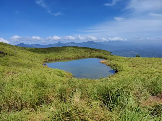
Full-day forest-department trek from Meppadi side to the heart-shaped lake viewpoint area on Chembra Peak.
Official source →Verified hotels, homestays, restaurants, experiences, sights, shops and rentals around Aranamala Peak — commission-free, with direct contact. Filter by what you need.
Resort dining and local food in Meppadi and Chembra. After The Rains, Valathoor, Rippon, Wayanad, Kerala · Restaurant, Dining, Meppadi.
Plantation restaurant in Meppadi and Chembra. Near Meppadi and Chembra route, Wayanad district, Kerala · Plantation restaurant.
Book with the place itself. India’s cyber-crime coordination centre warned in April 2025 that convincing copies of hotel and pilgrimage booking sites are being pushed through sponsored search and social ads, taking payment for rooms the property never hears about. Every listing here links to the business’s own contact details and its own Google or Bing profile — we take no commission and sit in nobody’s payment path. If a booking page reached you through an ad, check the address bar against the property’s own site before you pay. Fraud can be reported on cybercrime.gov.in or on 1930.
Find food, accommodation and activities across Meppadi and Chembra. Browse the guides for places to eat, stay and explore along your route.
13 more places around Meppadi and Chembra. Open a guide to plan the visit and onward journey.
4.9 km · ~12 min by auto
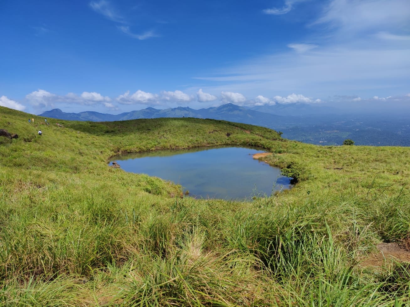
Chembra Peak is the Meppadi-side trek landmark of Wayanad. Plan it only with current official permit, weather and reporting-time checks, then keep the rest of the day light for food, transfers or a nearby waterfall.
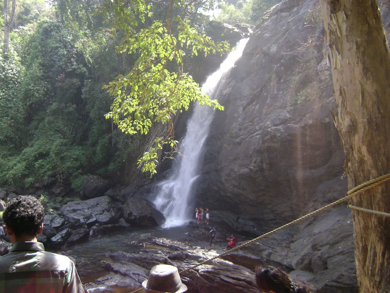
5.9 km · ~15 min by auto
Soochipara Waterfalls is a Meppadi-side waterfall reached through controlled access and a short forest walk. Check seasonal opening, crowding and rain conditions before adding it to a Chembra or 900 Kandi day.
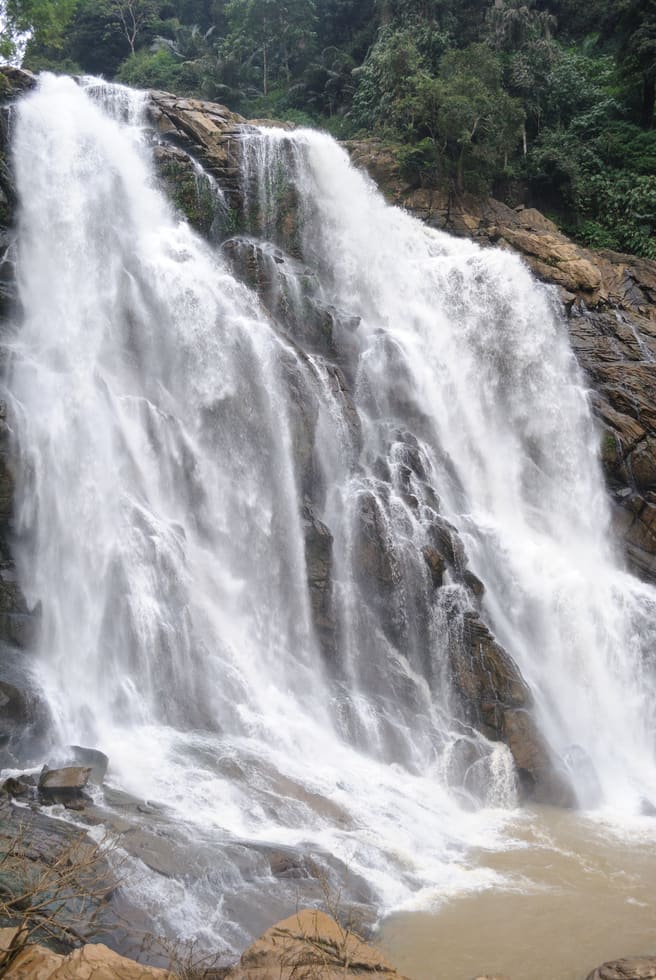
The closed Meppadi–Vaduvanchal waterfall, also listed as Meenmutty Falls trek. The map marks Vaduvanchal bus stand for town orientation, not an open waterfall entrance. Banasura Meenmutty is a different site.
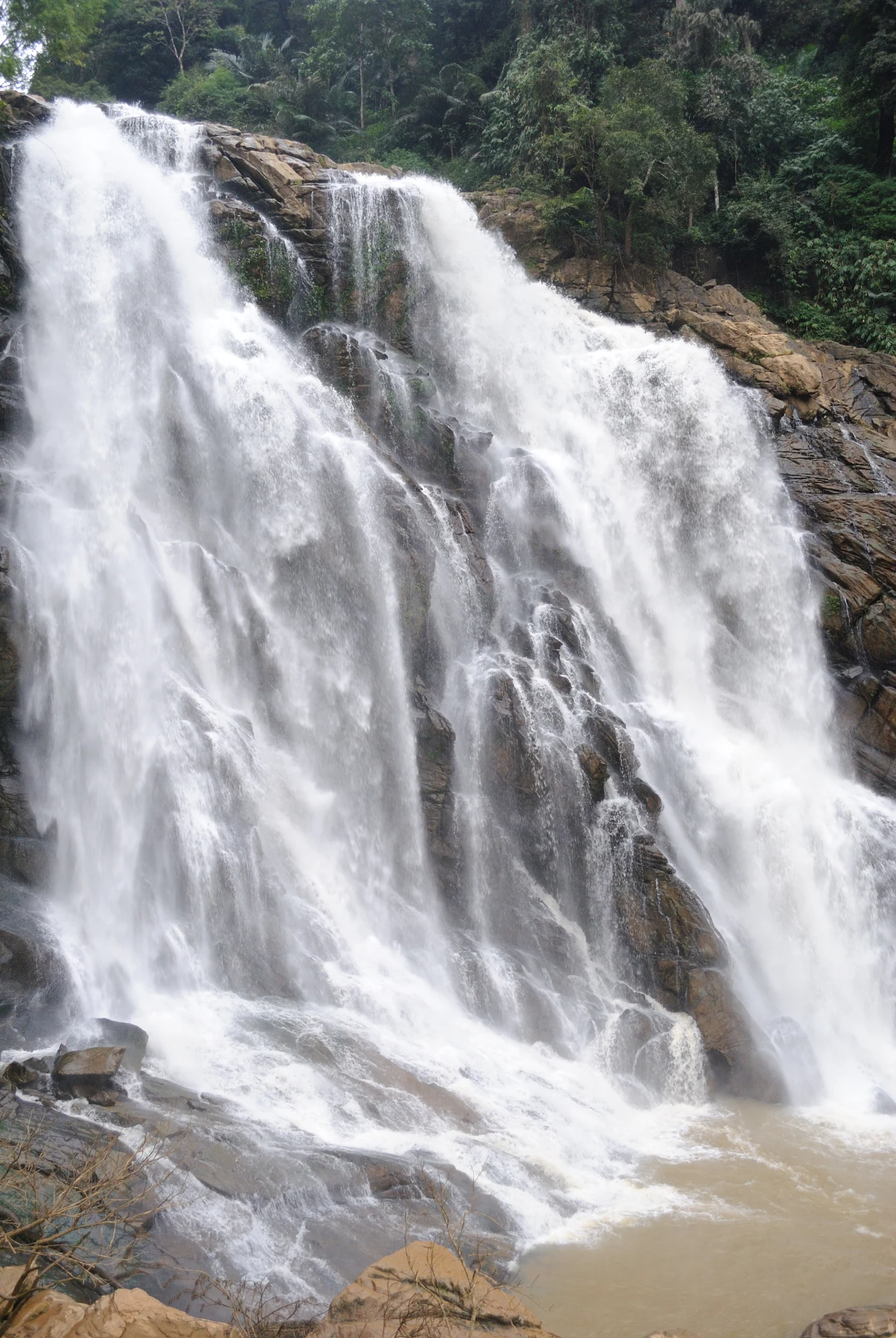
The closed forest approach to Meenmutty Falls near Vaduvanchal on the Meppadi–Gudalur side of Wayanad. This is not Banasura Meenmutty near Padinjarathara; use this guide for identity and access context, not a bookable trek.
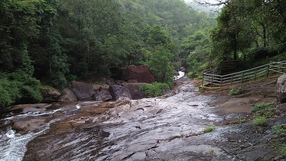
The Banasura-side Meenmutty at Kappikkalam, five kilometres from Banasura Sagar Dam—not the Meppadi or Makkiyad waterfalls with the same name.
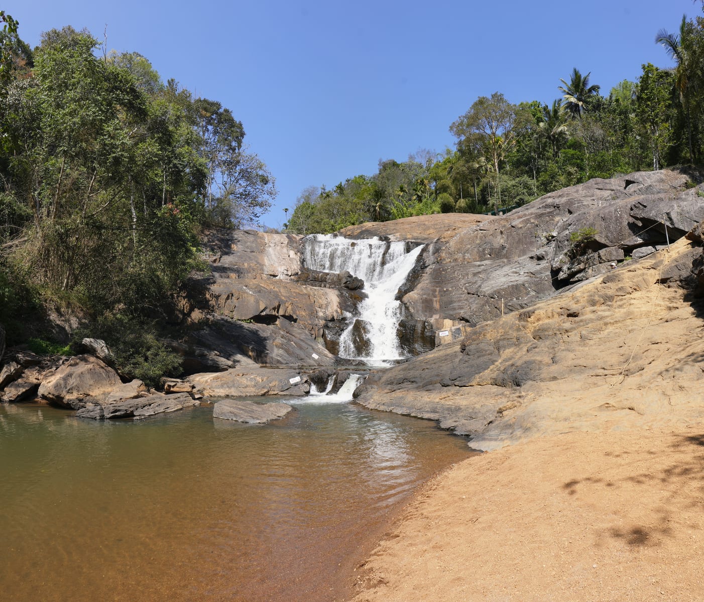
5.1 km · ~13 min by auto
Kanthanpara Waterfalls is a smaller Meppadi-side waterfall often used as a lighter alternative to busier falls. Confirm access, weather and local road conditions before pairing it with plantation stays or Chembra-side routes.
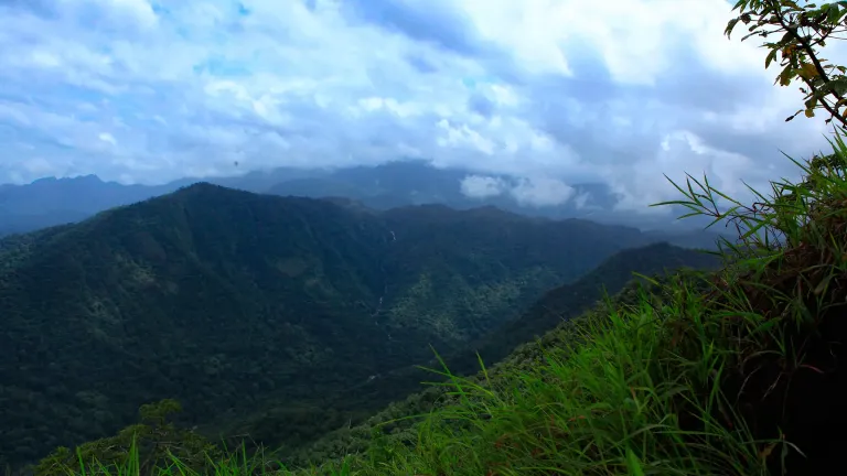
3.5 km · ~9 min by auto
Vaduvanchal/Meppadi-side viewpoint and trek route known for views toward Meenmutty Waterfalls and the Western Ghats.
A weather-dependent sunrise viewpoint name in the Vaduvanchal circuit. The map marks Vaduvanchal as the honest reporting base because no authoritative exact public gate is documented; it is not presented as an alias for Neelimala.
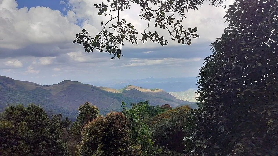
2.7 km · ~7 min by auto
The distinct Skypark adventure operator at 900 Kandi, with a glass walk, zip activities and a DTPC-published visitor marker separate from the neighbouring Eco Park.
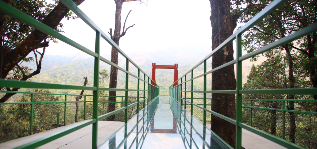
2.5 km · ~6 min by auto
A comparison guide to the distinct glass-bridge offers at 900 Kandi Eco Park and Skypark; choose the operator before navigating or buying a ticket.
2.5 km · ~6 min by auto
The named private Eco Park at 900 Kandi, with its own glass bridge, skywalk and activity ticketing; it is separate from nearby Skypark.
Harrisons Malayalam’s three-storey tea museum in its 1911 former factory at Achoor, with separately scheduled museum, tasting, working-factory and garden visits.
8.4 km · ~14 min by cab
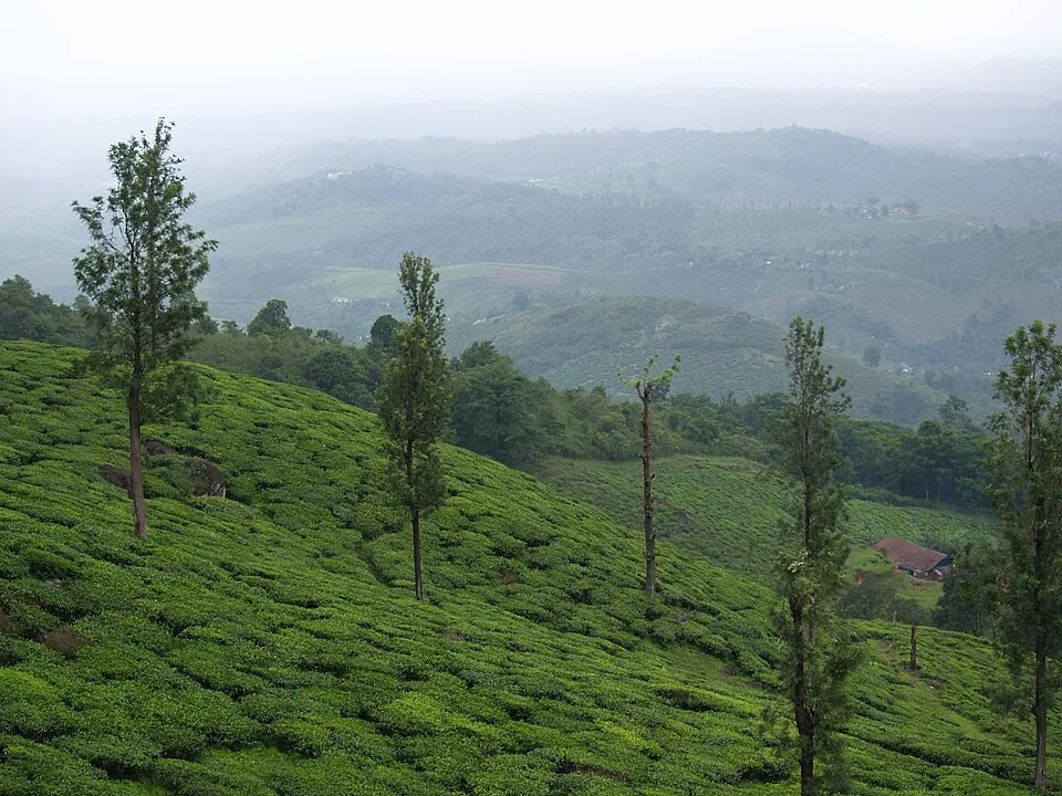
A working tea-estate landscape rather than a single ticketed attraction. The map marks Rippon 52 village as the honest visitor base; any private walk or factory visit needs its own confirmed property address.
Roampedia is commission-free — own or know a stay, eatery, guide or shop near Aranamala Peak? List it and it appears here once verified.
Add a nearby businessEntry: No standard published ticket. Costs are typically for a local guide, a shared four-wheel-drive jeep to the trailhead, and any forest permission or homestay package. As this is an offbeat, regulated area, always confirm current fees with a Meppadi-area guide or homestay.
Dress code: Sturdy closed trekking shoes with good grip, quick-dry clothing and warm layers for the ridge and early starts. Leech socks/guards are strongly advised, especially in the wet months. Carry rain protection, water, snacks and a small first-aid kit.
Photography: Superb for landscape photography — grassland ridges, mist-filled valleys and the stream-and-waterfall sequence, with sunrise and sunset the golden windows. Protect gear against water, spray and humidity, and keep a dry bag handy for stream crossings.
If you are travelling by bus or ferry, check the return service with the operator before setting out. Leave time to reach the stop or jetty after your visit.
Ask at the bus stand for the time of the last service back, not the next one. If you miss it, an auto or app cab is the fallback — agree the fare before you get in.
If you need step-free access, contact the site before travelling. Ask about a level entrance, steps along the route, the nearest drop-off point, seating and accessible toilets.
Emergency numbers are verified against official government and state tourism sources. 112 works anywhere in India.
A comparison guide to the distinct glass-bridge offers at 900 Kandi Eco Park and Skypark; choose the operator before navigating or buying a ticket.
2.5 km · ~6 min by auto · straight lineThe named private Eco Park at 900 Kandi, with its own glass bridge, skywalk and activity ticketing; it is separate from nearby Skypark.
2.5 km · ~6 min by auto · straight lineThe distinct Skypark adventure operator at 900 Kandi, with a glass walk, zip activities and a DTPC-published visitor marker separate from the neighbouring Eco Park.
2.7 km · ~7 min by auto · straight lineVaduvanchal/Meppadi-side viewpoint and trek route known for views toward Meenmutty Waterfalls and the Western Ghats.
3.5 km · ~9 min by auto · straight lineFamous highland trek area, known for the heart-shaped lake viewpoint; permits and access vary.
4.9 km · ~12 min by auto · straight lineMeppadi-side waterfall with easier access than some larger Wayanad falls, still weather-sensitive in monsoon.
5.1 km · ~13 min by auto · straight linePopular waterfall reached by a short forest walk, access varies by season.
5.9 km · ~15 min by auto · straight lineA working tea-estate landscape rather than a single ticketed attraction. The map marks Rippon 52 village as the honest visitor base; any private walk or factory visit needs its own confirmed property address.
8.4 km · ~14 min by cab · straight line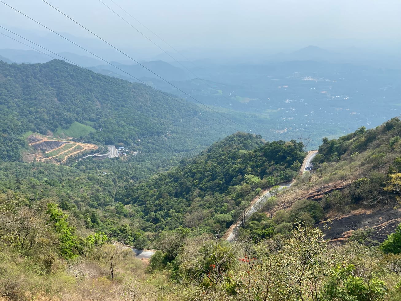
Ghat-road viewpoint at the entrance to Wayanad from the Kozhikode side.
11.6 km · ~19 min by cab · straight line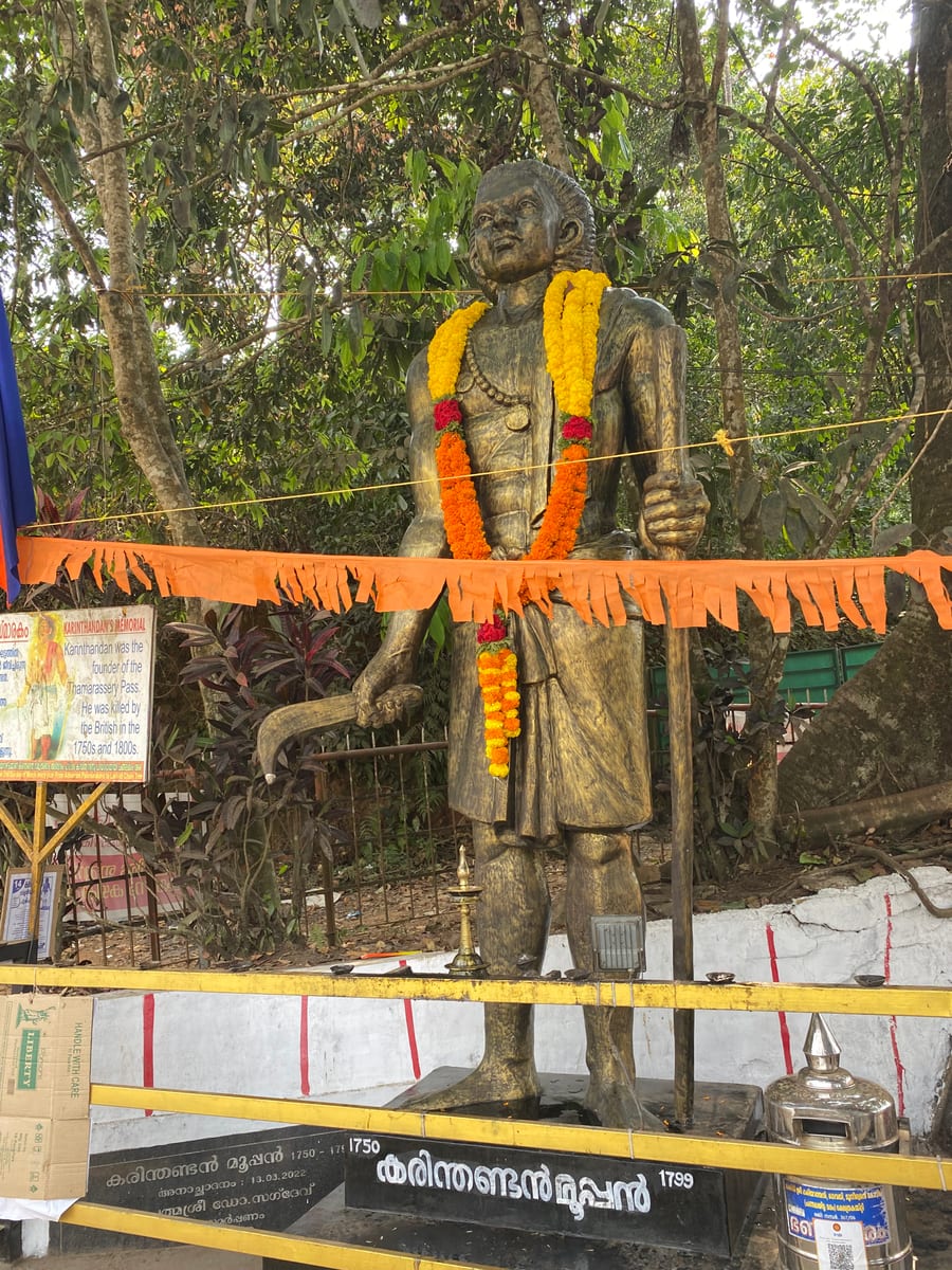
Lakkidi landmark tied to the Karinthandan legend, usually visited with Lakkidi View Point and Pookode Lake.
11.6 km · ~19 min by cab · straight line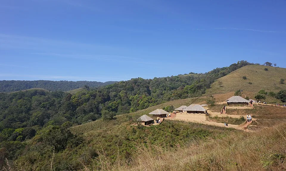
Tribal heritage village near Pookode/Vythiri with culture, craft and Wayanad community context.
11.9 km · ~20 min by cab · straight line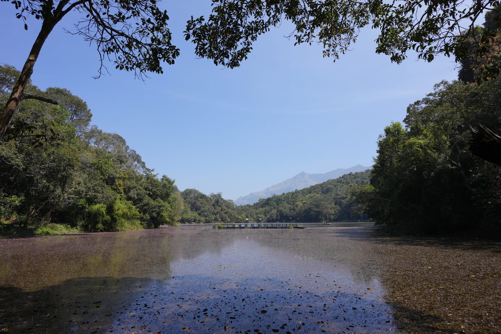
Freshwater lake near Vythiri/Lakkidi, commonly paired with the ghat entrance and En Ooru side.
12.3 km · ~20 min by cab · straight lineIt lies in the Vellarimala highlands south of Meppadi in Wayanad district, Kerala — roughly 12 km from Meppadi and about 33 km from the Kalpetta area. We no longer publish a turn-by-turn approach. The route formerly described in guidebooks runs via Chooralmala and Kalladi, both of which have been hit by fatal landslides since 2024, so current access should be confirmed with the South Wayanad Forest Division and the district administration before travelling.
In practice, yes. Much of the terrain sits within the Meppadi Forest Range and wider Wayanad Wildlife Sanctuary landscape, so entry is regulated. Arrange a Meppadi-area guide, obtain any forest permission and agree on the authorised route before setting out.
It is generally described as a moderately challenging walk of a few kilometres along a forest stream, with rock scrambling, wading and slippery sections rather than a groomed path. Many people do it as a day hike, sometimes with a rough four-wheel-drive stretch to reach the trailhead. Exact distances and timings vary by route and season.
The cooler, drier months from roughly October to March are the most comfortable and popular, when streams and waterfalls still flow but the trail is safer. During the southwest monsoon (about June to September) the stream swells and the route becomes a far more adventurous, water-heavy scramble with slippery rocks and heavy leech activity — attempt it only with an experienced guide.
Expect long stretches with no mobile signal — parts of the trek are effectively off the map and off-network. Leeches are common, especially in and after the monsoon, so leech socks or leech guards, closed trekking shoes and salt/tobacco deterrents are worth carrying. Tell someone your plan before you go.
Yes. Because it sits in the Meppadi belt beside the Vellarimala range, Aranamala pairs naturally with Chembra Peak, Soochipara (Sentinel Rock) Waterfalls and the Meppadi tea gardens, letting you build a slower, wilder itinerary across the same corner of Wayanad.
Post-monsoon to late winter is usually best; avoid heavy-rain days and closed forest periods.
Entry: No standard published ticket. Costs are typically for a local guide, a shared four-wheel-drive jeep to the trailhead, and any forest permission or homestay package. As this is an offbeat, regulated area, always confirm current fees with a Meppadi-area guide or homestay. Timings: Daylight-only trekking; most guided treks start early morning and aim to be off the ridge/stream well before dusk. There is no formal “opening time” — timing is set by your guide and by forest-access rules.
Base yourself in Meppadi and Chembra or a nearby town in Wayanad, then confirm the last-mile route locally before leaving. Confirm permits, guide requirement and reporting point before travel; many Kerala treks are controlled by forest authorities. If the visit depends on forest, temple, boat, ferry, weather or seasonal access, check the official/local rule on the day before travel.
Half day to full day unless officially listed as multi-day.
Nearby you can pair Glass Bridge 900 Kandi (2.5 km), 900 Kandi Eco Park (2.5 km), Skypark 900 Kandi (2.7 km), Neelimala View Point (3.5 km).
Use approved guides where required. Do not enter closed forest routes or trek in heavy rain.
We have not published a story about Aranamala Peak itself yet. These cover Meppadi and Chembra and the wider district, with separate journeys between stops.
These guides explore Meppadi and Chembra and the surrounding area. Choose a visit that fits your interests, allowing separately for travel between stops.
Route-level itineraries and practical guides for the rest of Kerala.

Photographs: Shagin sunny (CC BY-SA 4.0), Ravi Dwivedi (CC BY-SA 4.0). Wikimedia Commons.