Chembra Peak trek

Chembra Peak is Wayanad's signature trek landscape near Meppadi, known for the high grassland route and the heart-shaped Hridaya Saras lake viewpoint. It is one of the most searched adventure pages in Wayanad, but access is controlled and can change with forest, weather and conservation rules.

Chembra Peak trek, Meppadi and Chembra
Know before you go. This is in the Meppadi/Chooralmala belt, which has seen landslides and access restrictions. Confirm current road access, permits and safety with the Forest Department or DTPC Wayanad before you travel.
Practical guide

Plan Chembra Peak trek

Who's going?Tailor Chembra Peak trek to your trip
Typetrek
AreaMeppadi and Chembra
DistrictWayanad
Best timePost-monsoon to winter is best for views…
Time neededHalf day to full day depending on the…
Places to visit12Listed businesses23

The right way to present Chembra is as a permit-and-guide trek from the Meppadi side, not a free climb to the summit. Travellers should check the current allowed endpoint, reporting time, guide requirement and weather before planning around it.

The story

Climb through tea gardens and silver grassland to a lake shaped like a perfect heart, cupped in the flank of Wayanad’s highest mountain.

The story of Chembra Peak trek

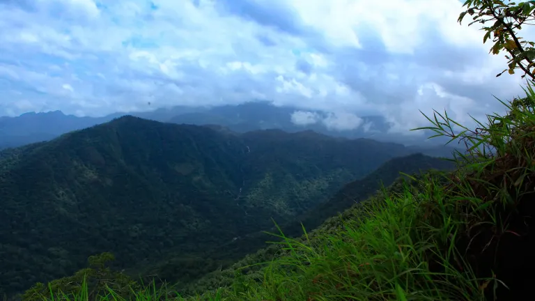
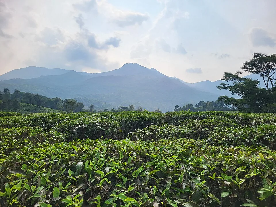
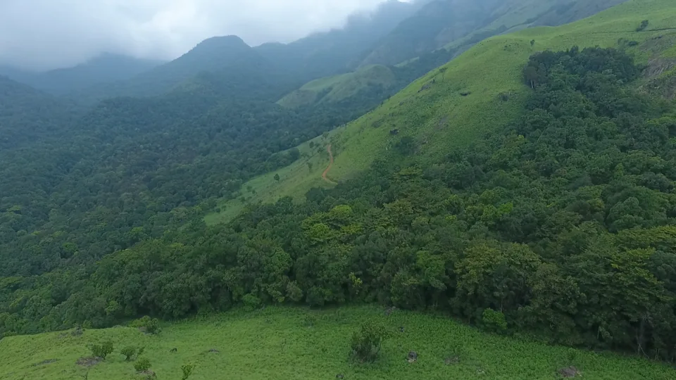
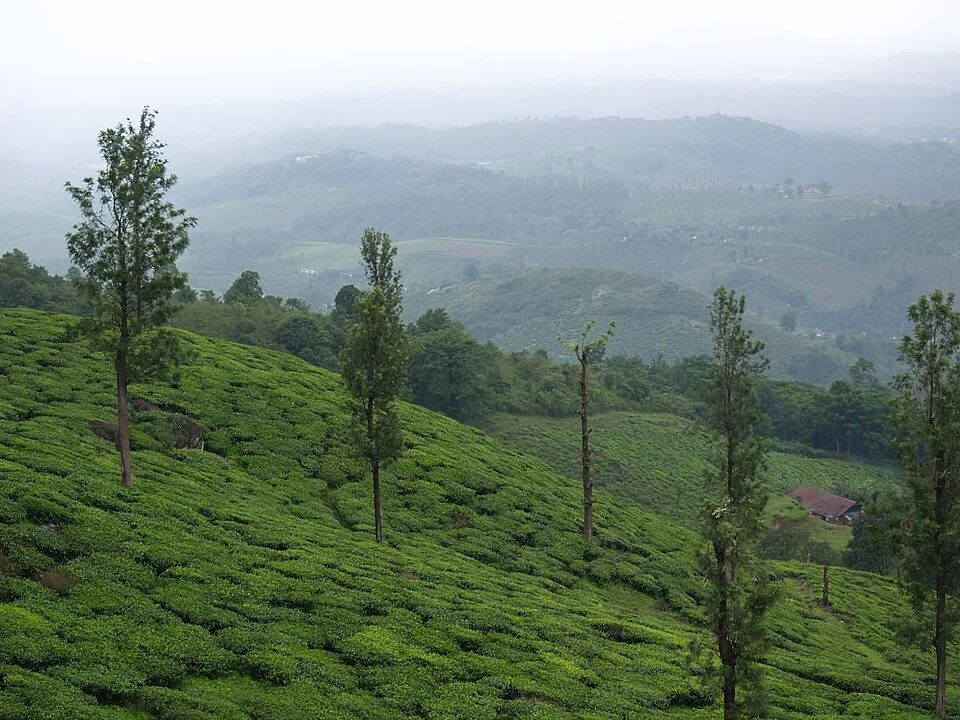
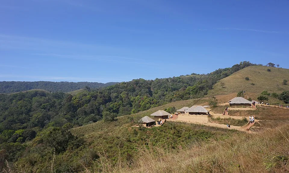
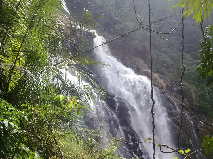
The Chembra Peak trek begins where the plantations end — at the Forest Department check-post above Meppadi, roughly 8 km south of Kalpetta, where a mandatory guide checks your permit before the climb. The first stretch is deceptively gentle, a red-earth path threading between emerald tea bushes and the odd silver-oak shade tree, with the whole Meppadi valley opening up behind you. Then the plantation gives way to open grassland and the gradient bites. This is the Western Ghats stripped bare — rolling ridges of montane grass broken by dark pockets of shola forest, the kind of high, wind-scoured country that feels a world away from the palm-fringed Kerala of the coast.

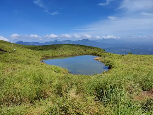
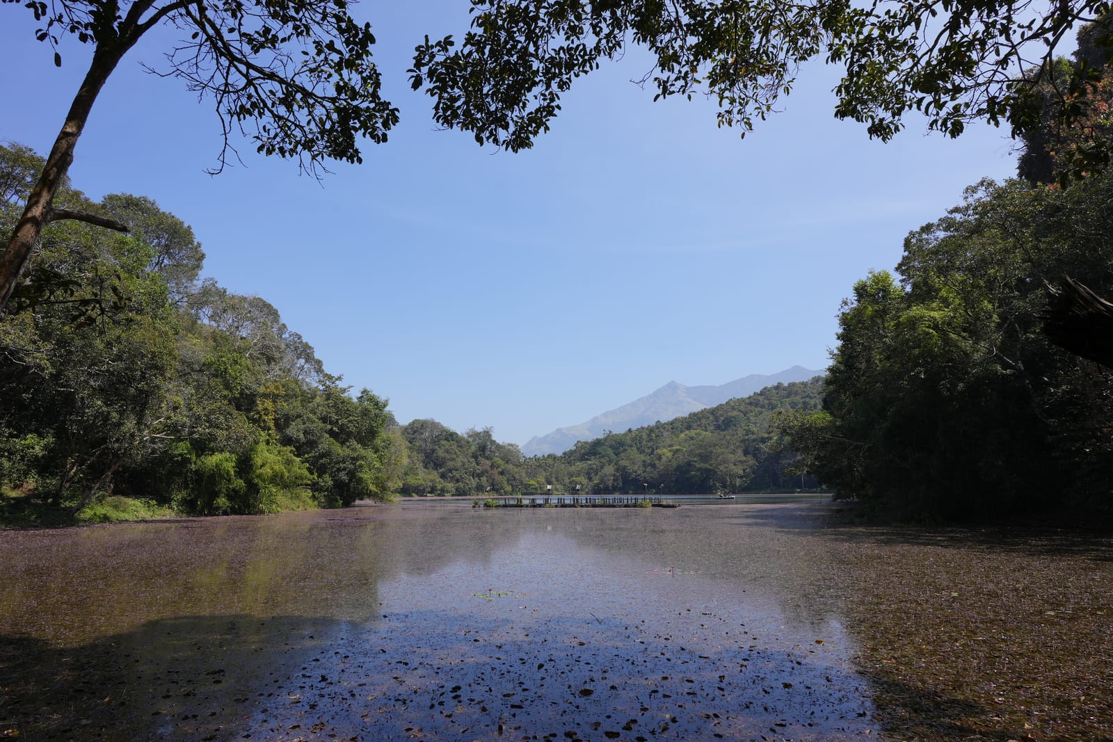
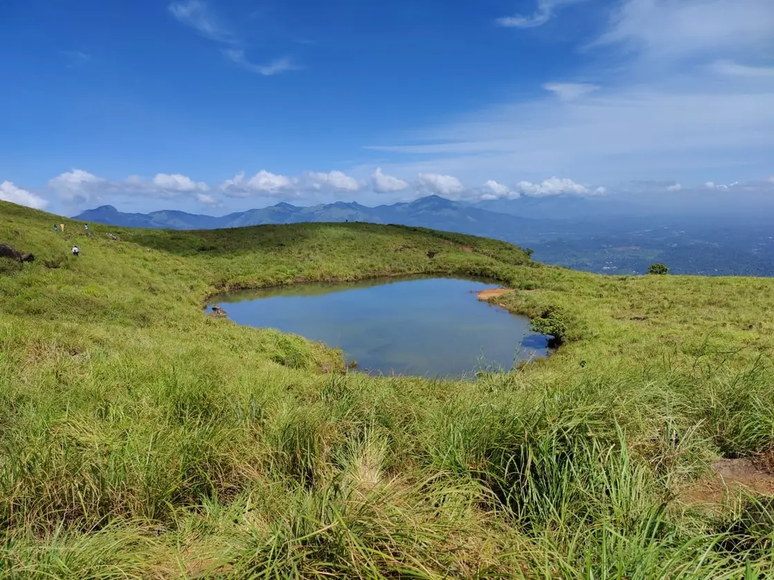
The reward that draws most trekkers is Hridaya Thadakam — the heart-shaped lake — a small natural tarn sitting in a fold of the mountain a little over halfway up, at around 1,650 m. Seen from the right angle on the slope above it, its outline is astonishingly, almost improbably, cardiac: two curved lobes tapering to a point, ringed by grass. Local tradition holds that it never runs dry, even at the height of the Wayanad summer, and it has become the emotional and photographic climax of the walk — a place couples come to, and where most permits now officially end.

For those able to continue, the trail beyond the lake rears up steeply toward the summit ridge, gaining height fast over grass and rock that can be slick with mist. The final section is a genuine leg-burner, part scramble in places, with rope handholds fixed on the sharpest pitches in some seasons. It is not technical mountaineering, but it is a real, sweaty, sustained climb — expect to be humbled if you arrive unfit.

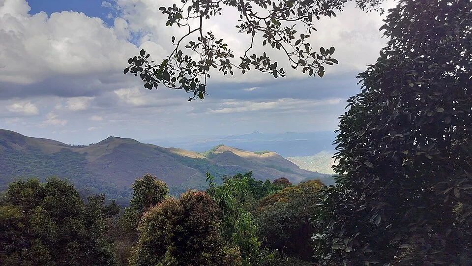
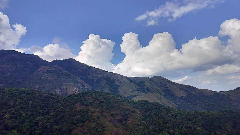
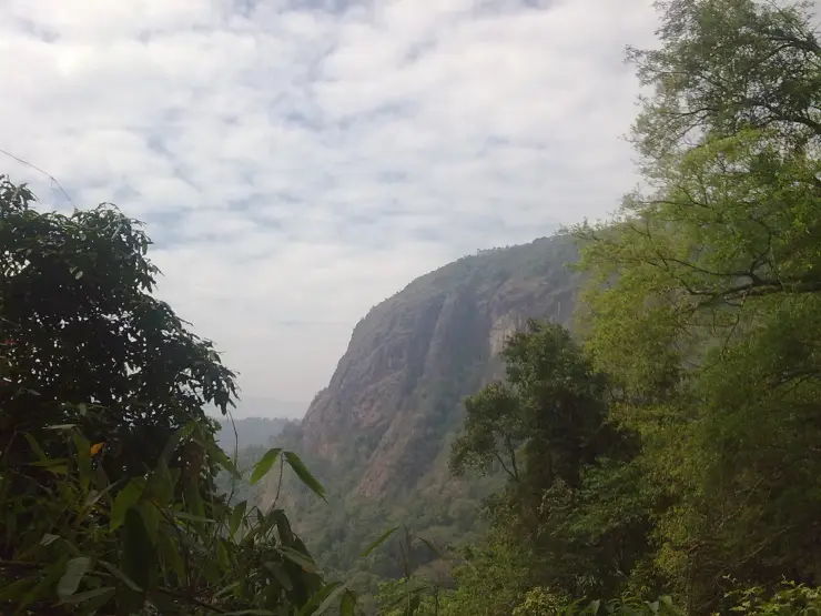
From the upper slopes, on a clear morning, the view is enormous. Chembra tops out near 2,100 m, the highest point in Wayanad and one of the loftier summits of the southern Western Ghats, and from up here the land falls away in every direction — the Nilgiri hills and Vellarimala to the east, tea estates quilting the valleys, and on the sharpest days a silver glint of distant plains. Cloud shadows race across the grassland; the wind is constant; the silence between gusts is total.

The mountain’s moods change by the hour. Mornings are usually the clearest, which is exactly why the Forest Department pushes trekkers to start early — by midday the summit can vanish into a fast-moving wall of mist, and the temperature drops sharply. The grassland that looks so soft and inviting is also tinder-dry in the hot months, which is the crux of why access here is so tightly managed.

Coming down is its own test — the grass slopes that were hard to climb are slippery to descend, and tired knees make the final tea-estate section feel longer than it was on the way up. Most trekkers are back at the check-post four to six hours after they set off, sunburnt, mud-flecked and grinning, having stood beside a heart-shaped lake on the roof of Wayanad.

Legend & myth

Local lore insists that Hridaya Thadakam, the heart-shaped lake, has never once been seen to dry up — that even through the fiercest Wayanad summers, when streams shrink and the grass turns to straw, the little heart-shaped tarn holds its water. Guides and villagers repeat the belief as a small everyday marvel, and it has helped turn the lake into a place of romance, with visiting couples treating the ‘heart that never empties’ as a quiet emblem of enduring love.

Read the full history of Chembra Peak trek 481 more words

History

Chembra Peak is the crowning summit of the Wayanad plateau, rising to roughly 2,100 m (about 6,890 ft) in Vythiri Taluk of Wayanad district — the highest peak in the Wayanad hills and among the higher summits of the southern Western Ghats, adjoining the Nilgiri hills and the Vellarimala massif. Its lower slopes were folded into the great tea and cardamom plantation belt that the colonial and post-colonial economy stitched across these highlands, and the walk to the summit still begins by crossing that plantation edge above Meppadi.

Trekking on Chembra is not a free-for-all: it is organised and regulated. Access is managed by the Chempra Peak Vana Samrakshana Samithi (VSS), an eco-development committee working under the South Wayanad forest administration, with the District Tourism Promotion Council (DTPC) also involved in permits and guiding. Every trekking party must take a Forest Department guide, numbers are capped (commonly cited at around 200 trekkers per day), and there is a strict plastic ban and no-smoking rule on the trail.

That tight control exists for a hard reason: fire. The high grassland is dangerously flammable in the dry season, and Chembra has burned. A major forest fire in late February 2017 tore across the peak, reducing large areas of grassland and shola to ash, and fire risk has repeatedly forced the Forest Department to close or curtail the trek during the hottest, driest months. Bans imposed for fire safety have subsequently been lifted when conditions improved — access here has genuinely opened and closed over the years rather than staying constant.

In recent years the pattern has shifted toward permitting the trek only as far as the heart-shaped lake, with the final push to the true summit restricted — variously attributed to fire risk and to wildlife movement on the upper slopes. The catastrophic Wayanad landslides of 2024 in the wider Meppadi–Mundakkai–Chooralmala area added further disruption and safety review across the region. Because of all this, the exact endpoint permitted (heart-lake versus full summit) and whether the trek is open at all can change season to season.

The practical upshot for any traveller: treat Chembra’s access status as fluid. It is entirely realistic that you will be allowed only up to Hridaya Thadakam, or that the trek is closed for fire season or post-disaster review when you arrive. Confirm the current rules directly with the Meppadi Forest Office / DTPC Wayanad before you travel, and build a flexible day around the answer.

Why visit

Stand beside Hridaya Thadakam, the famous heart-shaped lake said never to dry up.

Summit — or lake-top — views over Wayanad’s highest ground and the wider Western Ghats.

A genuine, sweat-earned grassland trek, not a viewpoint you drive to.

A photogenic start through working tea estates above Meppadi.

Regulated, guided trekking with a real wilderness feel and a daily cap on numbers.

Cool, misty highland air a world away from lowland Kerala.
What to expect

Highlights

  • Highland trek from Meppadi side with grassland views and the famous heart-shaped lake viewpoint.
  • Good fit with Meppadi plantations, Soochipara/Kanthanpara waterfalls and Kalpetta stays.
  • The businesses around this place are authorised guides, drivers, homestays and cafes.
Getting there

How to visit

  • Base in Meppadi, Kalpetta or Vythiri and confirm the current forest/DTPC access rule before the trek day.
  • Start early with ID, water, snacks, rain protection and proper shoes.
  • Do not rely on old route descriptions because permitted trek length and endpoint can change.

Distance by road

  • Kozhikode71 km
  • Mysuru138 km
  • Coimbatore210 km
  • Mangaluru254 km
  • Kochi256 km

Road km to Wayanad; ghat roads and traffic vary — allow extra.

Timing

Best time

Post-monsoon to winter is best for views and safer trail conditions. Avoid heavy rain and closure periods.

Weather in Chembra Peak trekSeasonal guide

Live forecast loads in your browser.

Today at Chembra Peak trek
Sunrise6:15 am
Sunset6:24 pm
Golden hour best light5:24 pm–6:24 pm
Blue hour after sunset6:24 pm–6:49 pm
Sun sets toward compass bearingW · 272°
Moon tonight🌔 Waxing gibbous · 57%
South-west monsoon. June to September brings heavy rain to Kerala. Trails, falls and ghat roads can be slippery, swollen or closed at short notice, and forest departments sometimes suspend access. Check locally on the day before you travel.

Check the official alert before you travel. Kerala’s beaches, waterfalls and trekking routes close at short notice during heavy rain, and district alert levels change day to day. We do not publish an alert level of our own — read it from the state authority: Kerala State Disaster Management Authority, or the district control room on 1077.

Sun and moon are calculated for this location and shown in IST. Photography windows are the hour around sunrise and sunset; the sunset bearing is degrees clockwise from true north. Moon phase is accurate to about half a day.

Visitor notes

  • Fitness matters: exposed grassland, sun and elevation make it harder than a viewpoint walk.
  • Carry back all waste and avoid plastic where restricted.
  • Book stays with realistic early-breakfast or packed-food support if trekking.
Safety

Good to know

  • Use approved guides where required and stay on the permitted trail.
  • Avoid trekking in lightning, heavy rain or low visibility.
  • Do not enter closed upper sections or private estate routes.
Official eco & forest programmes

Experiences around Chembra Peak trek

These are official or public-sector eco offerings that match this place, town or forest destination. Confirm availability, permits, tariffs and reporting times with the official operator before travel.

Chembra Peak, Chembra Peak trek
trekviewpoint

Chembra Peak trek

Full-day forest-department trek from Meppadi side to the heart-shaped lake viewpoint area on Chembra Peak.

DFO South WayanadFull day
Official source →
Stay · eat · do · rent · see · shop

Stays, food & things to do near Chembra Peak trek

Verified hotels, homestays, restaurants, experiences, sights, shops and rentals around Chembra Peak trek — commission-free, with direct contact. Filter by what you need.

9 things to do near Chembra Peak trek

900 Woods Trail and Food Experience — Trail and food experience in Meppadi and Chembra
Verified
Trail and food experience · Meppadi and Chembra
900 Woods Trail and Food Experience

900 Woods official trail, campfire and food experience evidence for 900 Kandi/Meppadi. Trekking, Food, 900 Kandi.

Directions Commission-freeView details
After The Rains Farm and Nature Experiences — Farm and nature experiences in Meppadi and Chembra
Verified
Farm and nature experiences · Meppadi and Chembra
After The Rains Farm and Nature Experiences

Rippon/Meppadi farm, plantation, fishing and nature experiences with direct official evidence. Farm experience, Nature walk, Meppadi.

Directions Commission-freeView details
LanternStay Camping and Birding Meppadi — Camping and birding experience in Meppadi and Chembra
Verified
Camping and birding experience · Meppadi and Chembra
LanternStay Camping and Birding Meppadi

LanternStay Camping and Birding is a Meppadi-side forest stay experience with direct evidence for camping enquiries, birding, resort facilities and the Meppadi address, useful for Chembra and waterfall-route experience searches. Camping, Birding, Meppadi.

Directions Commission-freeView details
Wayanad Taxi Meppadi Transfers — Taxi service in Meppadi and Chembra
Verified
Taxi service · Meppadi and Chembra
Wayanad Taxi Meppadi Transfers

District-wide Wayanad taxi service for Meppadi/Chembra transfers, sightseeing and airport pickups. Wayanad district, Kerala · Taxi, Meppadi, Chembra.

Directions Commission-freeView details
900 Kandi Eco Park Meppadi — Adventure park in Meppadi and Chembra
Verified
Adventure park · Meppadi and Chembra
900 Kandi Eco Park Meppadi

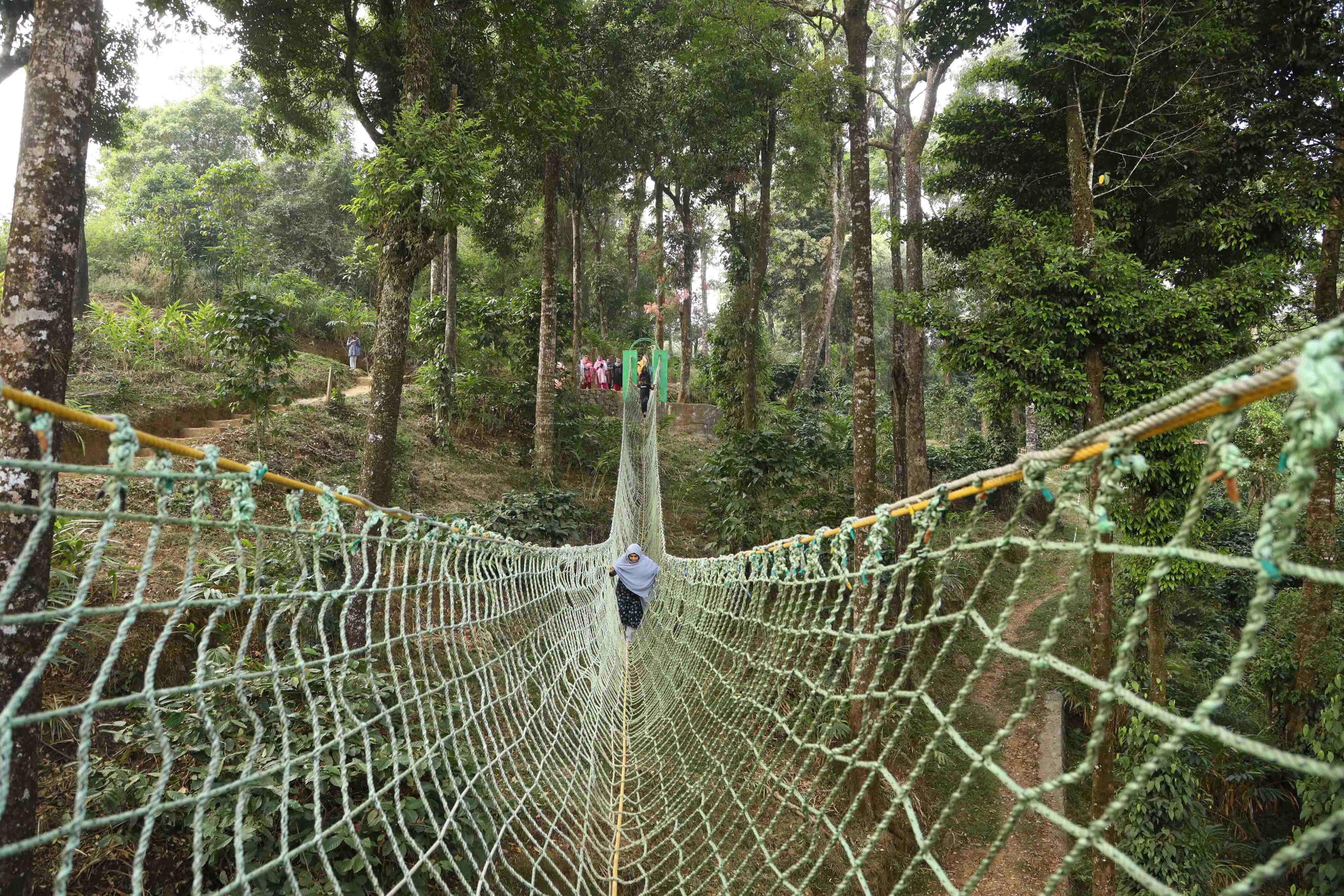
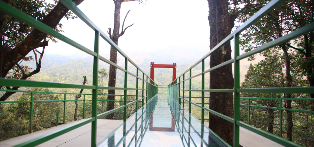
900 Kandi Eco Park, also listed as Thollayiram Kandi Eco Park, is a Meppadi-side adventure and ecotourism park with trekking, camping, zipline, glass bridge and outdoor recreation evidence. 900 Kandi, Meppadi, Eco park.

Directions Commission-freeView details
Skypark 900 Kandi DTPC Wayanad — Adventure park in Meppadi and Chembra
Verified
Adventure park · Meppadi and Chembra
Skypark 900 Kandi DTPC Wayanad

Skypark at 900 Kandi is a DTPC Wayanad-listed adventure and viewpoint park near Meppadi, with glass bridge, zipline, zip cycling, adventure swing, trails and off-road jeep ride context. 900 Kandi, Skypark, Meppadi.

Directions Commission-freeView details
Chembra Peak Trek Official — Trek in Meppadi and Chembra
Verified
Trek · Meppadi and Chembra
Chembra Peak Trek Official

Chembra Peak trek is Wayanad’s best-known Meppadi-side trek and should be planned around current Forest/DTPC access, group capacity, timing and guide rules. Chembra Peak, Meppadi, Trek.

Directions Commission-freeView details
S
Skyfall Adventures 900 Kandi
Things to do
Verified
Adventure stay and attraction · Meppadi and Chembra
Skyfall Adventures 900 Kandi

Skyfall Adventures is a 900 Kandi adventure stay and attraction near Eco Park, useful for travellers comparing Meppadi-side glass bridge, stay and nature-experience options. 900 Kandi, Skyfall, Meppadi.

Directions Commission-freeView details
S
Sky Swing 900 Kandi Meppadi
Things to do
Verified
Adventure operator · Meppadi and Chembra
Sky Swing 900 Kandi Meppadi

Kerala Tourism-accredited 900 Kandi operator for high ropes, jeep safari, nature walks and zipline. 900 Kandi, Meppadi, Jeep safari.

Directions Commission-freeView details

Book with the place itself. India’s cyber-crime coordination centre warned in April 2025 that convincing copies of hotel and pilgrimage booking sites are being pushed through sponsored search and social ads, taking payment for rooms the property never hears about. Every listing here links to the business’s own contact details and its own Google or Bing profile — we take no commission and sit in nobody’s payment path. If a booking page reached you through an ad, check the address bar against the property’s own site before you pay. Fraud can be reported on cybercrime.gov.in or on 1930.

Ranked guides

Top experiences around Meppadi and Chembra

13 more places around Meppadi and Chembra. Open a guide to plan the visit and onward journey.

waterfallSoochipara Waterfalls

8.0 km · ~13 min by cab

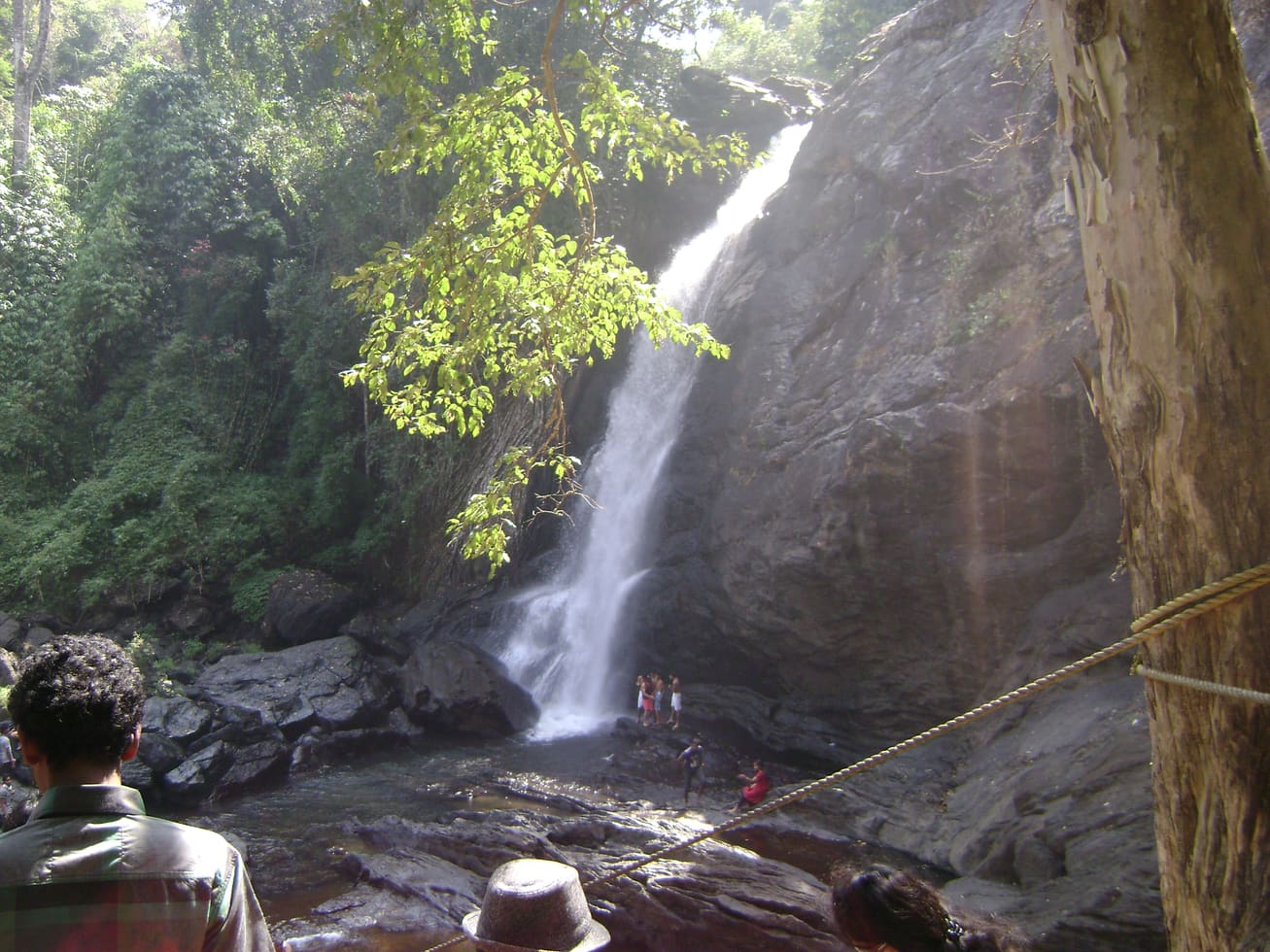
Soochipara Waterfalls is a Meppadi-side waterfall reached through controlled access and a short forest walk. Check seasonal opening, crowding and rain conditions before adding it to a Chembra or 900 Kandi day.

waterfallMeenmutty Waterfalls

The closed Meppadi–Vaduvanchal waterfall, also listed as Meenmutty Falls trek. The map marks Vaduvanchal bus stand for town orientation, not an open waterfall entrance. Banasura Meenmutty is a different site.

trekMeenmutty Falls trek

The closed forest approach to Meenmutty Falls near Vaduvanchal on the Meppadi–Gudalur side of Wayanad. This is not Banasura Meenmutty near Padinjarathara; use this guide for identity and access context, not a bookable trek.

waterfallBanasura Meenmutty Waterfalls

The Banasura-side Meenmutty at Kappikkalam, five kilometres from Banasura Sagar Dam—not the Meppadi or Makkiyad waterfalls with the same name.

waterfallKanthanpara Waterfalls

4.6 km · ~12 min by auto

Kanthanpara Waterfalls is a smaller Meppadi-side waterfall often used as a lighter alternative to busier falls. Confirm access, weather and local road conditions before pairing it with plantation stays or Chembra-side routes.

viewpointNeelimala View Point

7.0 km · ~18 min by auto

Vaduvanchal/Meppadi-side viewpoint and trek route known for views toward Meenmutty Waterfalls and the Western Ghats.

viewpointSunrise Valley View Point

A weather-dependent sunrise viewpoint name in the Vaduvanchal circuit. The map marks Vaduvanchal as the honest reporting base because no authoritative exact public gate is documented; it is not presented as an alias for Neelimala.

viewpointSkypark 900 Kandi

2.6 km · ~6 min by auto

The distinct Skypark adventure operator at 900 Kandi, with a glass walk, zip activities and a DTPC-published visitor marker separate from the neighbouring Eco Park.

viewpointGlass Bridge 900 Kandi

2.8 km · ~7 min by auto

A comparison guide to the distinct glass-bridge offers at 900 Kandi Eco Park and Skypark; choose the operator before navigating or buying a ticket.

viewpoint900 Kandi Eco Park

2.8 km · ~7 min by auto

The named private Eco Park at 900 Kandi, with its own glass bridge, skywalk and activity ticketing; it is separate from nearby Skypark.

museumAchoor Tea Museum

Harrisons Malayalam’s three-storey tea museum in its 1911 former factory at Achoor, with separately scheduled museum, tasting, working-factory and garden visits.

trekAranamala Peak

4.9 km · ~12 min by auto

Meppadi-side hill and trek landscape around Aranamala, best planned with local route, weather and access checks.

heritageRipon Tea Estate

9.1 km · ~15 min by cab

A working tea-estate landscape rather than a single ticketed attraction. The map marks Rippon 52 village as the honest visitor base; any private walk or factory visit needs its own confirmed property address.

Roampedia is commission-free — own or know a stay, eatery, guide or shop near Chembra Peak trek? List it and it appears here once verified.

Add a nearby business
Trek facts

Chembra Peak trek — at a glance

TimingsTrekking generally starts from around 7:00 AM, with last entry commonly around 2:00 PM and trekkers required off the mountain by late afternoon (about 5:00 PM); no permits are issued after the cut-off.
Best timeOctober to February (post-monsoon) is best — clear skies, green grassland and cool air. Avoid the monsoon (June–September) for slippery, leech-prone trails, and note the hot, dry pre-monsoon months carry a high forest-fire risk that can trigger closures.

Entry: A permit/entry fee plus a guided-trekking charge levied per group with a per-person add-on; figures widely quoted include around ₹4,000 for a group of about five plus roughly ₹800 per extra person, with small separate entry fees and higher rates for foreign nationals.

Dress code: Sturdy trekking shoes with good grip, breathable layers plus a warm/wind layer for the exposed top, sun hat and sunscreen; carry at least 2 litres of water as there are no shops on the trail.

Photography: Superb photography — tea estates, the heart-shaped lake and sweeping Western Ghats panoramas. Drones over this Forest-managed, ecologically sensitive area are very likely restricted; seek explicit Forest Department permission before flying (confirm locally).

Getting here

How to reach Chembra Peak trek

  • ✈︎ By air Calicut International Airport (Kozhikode) is the nearest airport, roughly 90–100 km away, about a 3-hour drive through the Ghats.
  • 🚆︎ By train Kozhikode (Calicut) is the nearest major railhead, roughly 80–95 km from the base depending on route; Wayanad itself has no railway station.
  • 🚗︎ By road From Kalpetta drive about 8 km south to Meppadi, then up to the Forest check-post at the base of the hill where permits are issued; the final approach is a narrow plantation road.
  • 🚌︎ By bus KSRTC and private buses serve Kalpetta and Meppadi from Kozhikode and other towns; from Meppadi take a taxi or auto the last stretch to the forest check-post.
Getting back

If you are travelling by bus or ferry, check the return service with the operator before setting out. Leave time to reach the stop or jetty after your visit.

Ask at the bus stand for the time of the last service back, not the next one. If you miss it, an auto or app cab is the fallback — agree the fare before you get in.

Do

Things to do

  • Photograph the heart-shaped lake (Hridaya Thadakam) from the slope above it.
  • Soak in the panoramic Western Ghats views over Wayanad’s highest ground.
  • Walk the opening stretch through working tea estates above Meppadi.
  • Spot montane grassland and shola-forest scenery and highland birds.
  • Attempt the steep summit push if — and only if — it is currently permitted.
  • Pair the trek with nearby Soochipara Falls, Pookode Lake or Meenmutty Falls.
  • Simply picnic (no plastic) and rest at the lake before the descent.
Getting around Chembra Peak trekNot wheelchair accessible
Terrain
Steep
From the entrance
The first stretch through tea plantations is easy; the climb steepens approaching the heart-shaped lake. Wayanad's highest point at about 2,100 m.
  • Difficulty is rated anywhere from moderate to hard depending on how far you go — full-peak routes are reported at 7–8 hours. Start early and carry water.
  • Permits and access are controlled by the Forest Department and are suspended at times — confirm before travelling.

Checked 4 August 2026 against source 1source 2. Conditions change and surfaces vary with weather — if step-free access is essential, confirm with the site before you travel.

Nearby

What’s near Chembra Peak trek

viewpointSkypark 900 Kandi

The distinct Skypark adventure operator at 900 Kandi, with a glass walk, zip activities and a DTPC-published visitor marker separate from the neighbouring Eco Park.

2.6 km · ~6 min by auto · straight line
viewpointGlass Bridge 900 Kandi

A comparison guide to the distinct glass-bridge offers at 900 Kandi Eco Park and Skypark; choose the operator before navigating or buying a ticket.

2.8 km · ~7 min by auto · straight line
viewpoint900 Kandi Eco Park

The named private Eco Park at 900 Kandi, with its own glass bridge, skywalk and activity ticketing; it is separate from nearby Skypark.

2.8 km · ~7 min by auto · straight line
waterfallKanthanpara Waterfalls

Meppadi-side waterfall with easier access than some larger Wayanad falls, still weather-sensitive in monsoon.

4.6 km · ~12 min by auto · straight line
trekAranamala Peak

Meppadi-side hill and trek landscape around Aranamala, best planned with local route, weather and access checks.

4.9 km · ~12 min by auto · straight line
viewpointNeelimala View Point

Vaduvanchal/Meppadi-side viewpoint and trek route known for views toward Meenmutty Waterfalls and the Western Ghats.

7.0 km · ~18 min by auto · straight line
heritageEn Ooru Tribal Heritage Village

Tribal heritage village near Pookode/Vythiri with culture, craft and Wayanad community context.

7.4 km · ~18 min by auto · straight line
heritageChain Tree

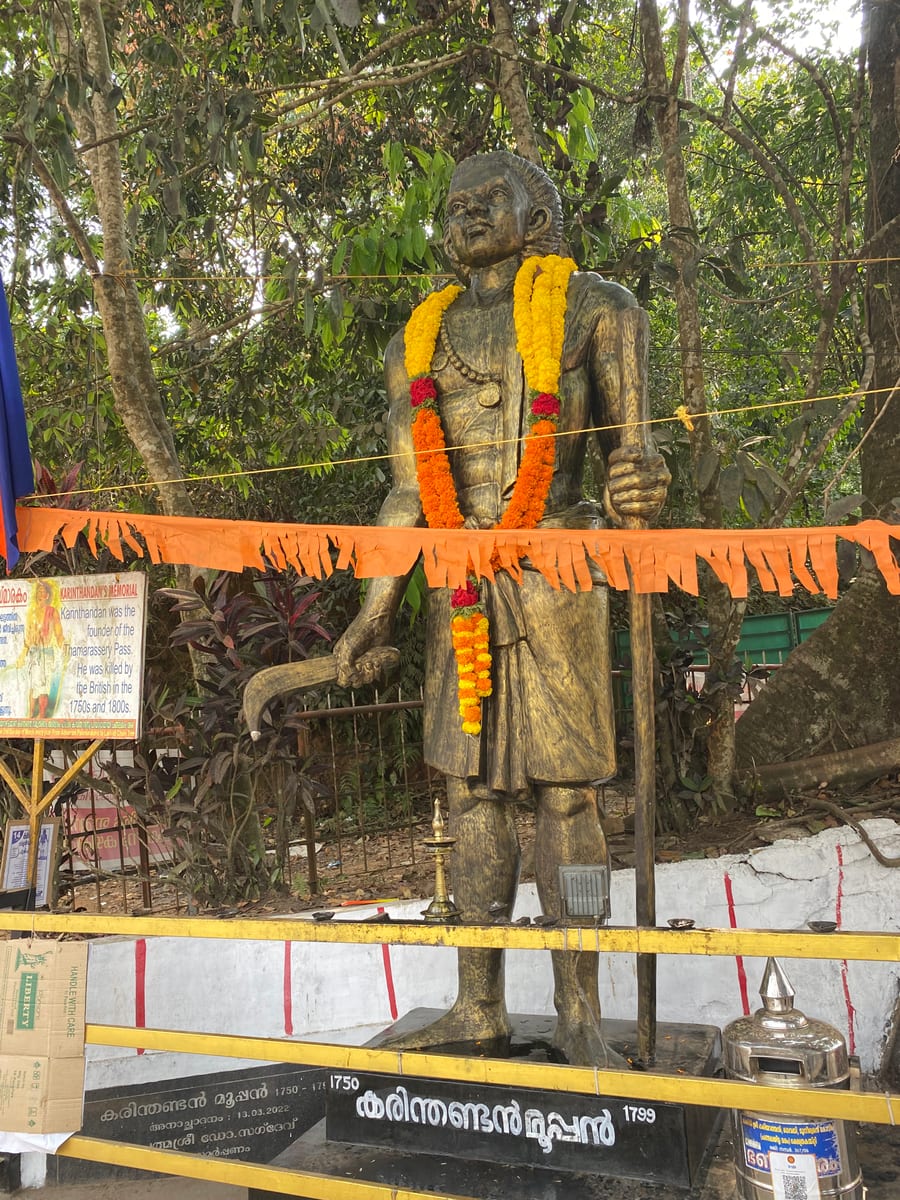
Lakkidi landmark tied to the Karinthandan legend, usually visited with Lakkidi View Point and Pookode Lake.

7.5 km · ~19 min by auto · straight line
backwaterPookode Lake

Freshwater lake near Vythiri/Lakkidi, commonly paired with the ghat entrance and En Ooru side.

7.6 km · ~19 min by auto · straight line
viewpointLakkidi View Point

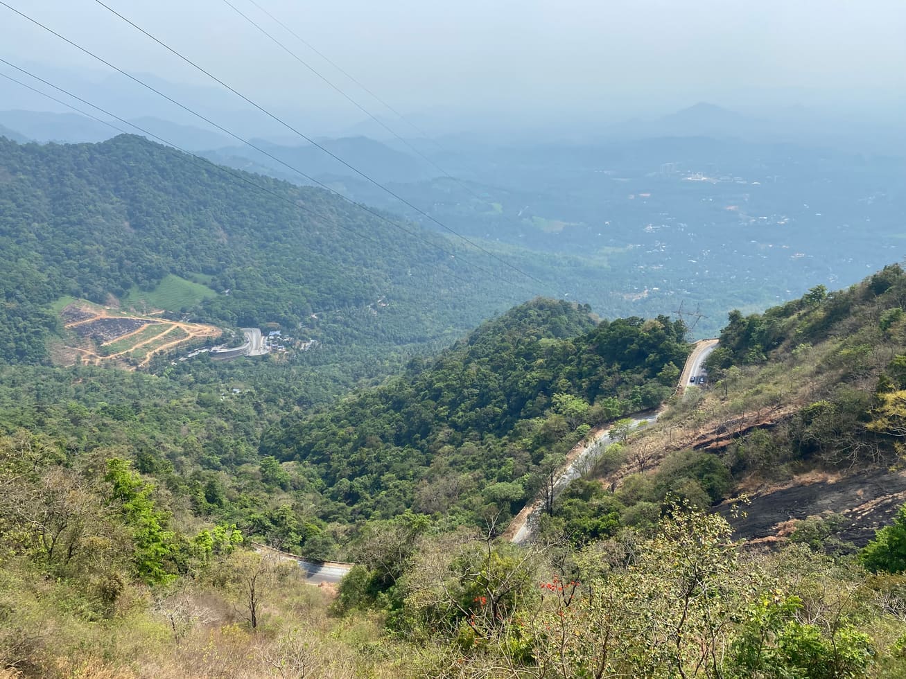
Ghat-road viewpoint at the entrance to Wayanad from the Kozhikode side.

7.7 km · ~19 min by auto · straight line
waterfallSoochipara Waterfalls

Popular waterfall reached by a short forest walk, access varies by season.

8.0 km · ~13 min by cab · straight line
heritageRipon Tea Estate

A working tea-estate landscape rather than a single ticketed attraction. The map marks Rippon 52 village as the honest visitor base; any private walk or factory visit needs its own confirmed property address.

9.1 km · ~15 min by cab · straight line

All 12 places to visit in Meppadi and Chembra →

On the map

Where Chembra Peak trek is

Good to know

Chembra Peak trek — frequently asked

Is the Chembra Peak summit trek open, or only the heart-shaped lake?

In recent seasons the trek has often been permitted only as far as the heart-shaped lake (Hridaya Thadakam), with the final climb to the true summit restricted for fire-safety and wildlife reasons, and the whole trek has at times been closed altogether. Access here genuinely changes — confirm the current status directly with the Meppadi Forest Office or DTPC Wayanad before you travel.

Do I need a permit and a guide?

Yes. Trekking is regulated by the Forest Department and the Chempra Peak VSS, so you must buy a permit and take an assigned guide — you cannot climb independently. Permits are issued at the Meppadi Forest Office and numbers are capped per day.

How much does the trek cost?

Fees are charged per group plus a per-person add-on, and rates change; figures widely quoted include around ₹4,000 for a group of about five with an extra charge per additional person, alongside smaller entry fees.

How long and how hard is the trek?

Reaching the heart-shaped lake and returning typically takes about four to six hours at a moderate pace, and the full route is a genuinely steep, tiring grassland climb rather than a stroll. A reasonable level of fitness and proper shoes are essential.

When is the best time to trek Chembra Peak?

October to February — post-monsoon — is generally best, with clear skies, green slopes and cool air. The monsoon (June–September) brings slippery, leech-prone trails, and the hot, dry pre-monsoon months carry a high fire risk that can trigger closures.

How do I get to the starting point?

The trek starts at the Forest check-post above Meppadi, roughly 8 km south of Kalpetta. Reach Meppadi by taxi or auto from Kalpetta; the nearest airport is Calicut/Kozhikode (roughly 90+ km) and the nearest railhead is Kozhikode.

When is the best time to visit Chembra Peak trek?

Post-monsoon to winter is best for views and safer trail conditions. Avoid heavy rain and closure periods.

What are the entry fee and timings at Chembra Peak trek?

Entry: A permit/entry fee plus a guided-trekking charge levied per group with a per-person add-on; figures widely quoted include around ₹4,000 for a group of about five plus roughly ₹800 per extra person, with small separate entry fees and higher rates for foreign nationals. Timings: Trekking generally starts from around 7:00 AM, with last entry commonly around 2:00 PM and trekkers required off the mountain by late afternoon (about 5:00 PM); no permits are issued after the cut-off.

How do I reach Chembra Peak trek?

Base in Meppadi, Kalpetta or Vythiri and confirm the current forest/DTPC access rule before the trek day. Start early with ID, water, snacks, rain protection and proper shoes. Do not rely on old route descriptions because permitted trek length and endpoint can change.

How much time do I need for Chembra Peak trek?

Half day to full day depending on the current permitted route.

What else is near Chembra Peak trek?

Nearby you can pair Skypark 900 Kandi (2.6 km), Glass Bridge 900 Kandi (2.8 km), 900 Kandi Eco Park (2.8 km), Kanthanpara Waterfalls (4.6 km).

What should I know before visiting Chembra Peak trek?

Use approved guides where required and stay on the permitted trail. Avoid trekking in lightning, heavy rain or low visibility. Do not enter closed upper sections or private estate routes.

Read before you go

Chembra Peak trek guides, stories & itineraries

We have not published a story about Chembra Peak trek itself yet. These cover Meppadi and Chembra and the wider district, with separate journeys between stops.

Around Meppadi and Chembra

These guides explore Meppadi and Chembra and the surrounding area. Choose a visit that fits your interests, allowing separately for travel between stops.

Kerala-wide guides & itineraries

Route-level itineraries and practical guides for the rest of Kerala.

See all 55 Wayanad guides & stories →

Image credits

Photographs: Ravi Dwivedi (CC BY-SA 4.0), Ramkishoremr (CC BY-SA 4.0), Aneesh Jose (CC BY-SA 3.0). Wikimedia Commons.