What to expect
Highlights
- Viewpoint stop at Neelimala View Point
- Photography and landscape views
- Good add-on to nearby town or hill routes
Vaduvanchal/Meppadi-side viewpoint and trek route known for views toward Meenmutty Waterfalls and the Western Ghats.
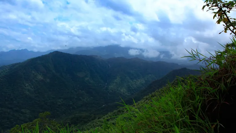
A steep, guided climb through coffee and forest that opens onto one of Wayanad’s most electrifying panoramas — a green valley falling away beneath your feet and the silver thread of Meenmutty Falls glinting across it.
Neelimala earns its name — literally “the blue mountain” — in the half-light before dawn, when a cool haze settles over the ridges and turns the whole hillside the colour of woodsmoke and slate. The viewpoint sits above the little junction town of Vaduvanchal, deep in the tea-and-coffee country of southern Wayanad, and reaching it is part of the reward. Most visitors first bump up a rough track by hired jeep, then swap wheels for feet and follow a guided trail the rest of the way to the crown of the hill.
The walk itself is short but honest work — a narrow, steadily steepening path that threads through shaded coffee plantations, patches of virgin forest and open meadows scattered with wildflowers. Birdsong follows you the whole way up, and the smell of damp leaf-litter and blossom hangs in the air. It is the kind of climb that leaves you a little breathless, so that the first sight of the open summit lands with real force.
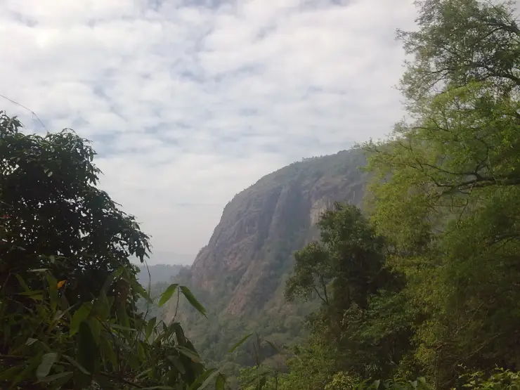
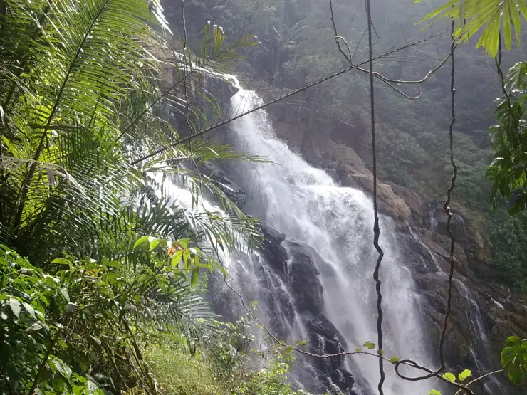
And what a sight it is. From the grassy shoulder at the top the land simply drops away, and a vast bowl of a valley unfolds — rolling green hills stacked to the horizon, dense forest canopy, and, on a clear morning, the distant white ribbon of Meenmutty Falls tearing down through the folds of the ranges. Travellers often say the falls look like a milky streak or a strand of the Milky Way stitched across the deep foliage, and from Neelimala you take in the whole scene at once rather than standing at the base of a single cascade.
Sunrise is the hour Neelimala is built for. Arrive early, before the crowds and before the mist burns off, and you watch the first light spill across the valley and set the ridgelines glowing orange and pink while the lowlands are still wrapped in cloud. On the right mornings the cloud sits below you, so the hilltops float like islands and the whole panorama feels suspended. Photographers treat it as one of Wayanad’s prize vantage points precisely because so much drama is packed into a single frame — sky, mist, mountains and waterfall together.
The landscape around the viewpoint is quintessential Wayanad: manicured tea slopes and coffee estates giving way abruptly to wilder forest, with the high wall of the Western Ghats behind. Chembra Peak, the tallest summit in Wayanad, rises only a short distance away, and the same belt of country holds Soochipara (Sentinel Rock) Falls and the Meenmutty catchment. It is an area that rewards slow travel — the sort of place where the drive, the climb and the view are all part of the same unhurried pleasure.
For all its beauty, Neelimala is a working hillside rather than a manicured tourist balcony, and that is much of its charm. The trail can be muddy and slick, the jeep track jolting, and the last stretch demands sensible shoes and a bit of stamina. But those small frictions keep the summit quiet and unspoiled, and mean that the people who make it to the top tend to have the panorama largely to themselves in the cool early hours.
The Meenmutty view is a distant landscape feature, not a route instruction to the waterfall. Kerala Tourism describes Neelimala’s approach as a jeep ride followed by a walk through plantation and forest country. Confirm the current authorised start point, guide arrangements and final walking section before travelling to Vaduvanchal; an old photograph of the trail cannot establish today’s access.
If the waterfall is your main reason for choosing Neelimala, ask about visibility before paying for the ascent. Mist can conceal the valley even when the approach is passable. Leave room in the plan to enjoy the nearby vegetation and ridges, and turn back with your guide if conditions deteriorate. Seeing Meenmutty from the viewpoint does not establish permission to descend towards it or to enter a separate waterfall trail.
Wayanad sits on a high plateau in the northern reaches of Kerala, cradled by the Western Ghats and averaging roughly 700 to 2,100 metres in elevation across the district. This altitude gives the region its famously cool, misty climate and its patchwork of forest, grassland and cultivated hill — the physical stage on which viewpoints like Neelimala exist. The name Neelimala, “blue mountain”, comes directly from the bluish haze that drapes these slopes at dawn and dusk.
The country around Vaduvanchal and Meppadi was reshaped over the nineteenth and twentieth centuries by plantation agriculture. British-era planters recognised that Wayanad’s cool uplands were ideal for tea, coffee, cardamom and pepper, and estates spread across the hills, clearing and terracing slopes that had been forest. The coffee plantations and tea gardens the modern trekker walks through on the way up Neelimala are a living legacy of that plantation era, which remains the backbone of the local economy.
Neelimala’s emergence as a named viewpoint is a more recent, tourism-driven story rather than an ancient one. As Wayanad grew into one of South India’s most popular hill destinations, the hilltop above Vaduvanchal became valued for the single thing it does better than almost anywhere else in the district — offering a sweeping, elevated view over the valley and across to Meenmutty Falls. Local jeep operators and guides organised access up the rough track, and the spot settled into the regional trekking and sightseeing circuit.
Its identity is tightly bound to the surrounding geography. Neelimala overlooks the Meenmutty catchment — Meenmutty is among Wayanad’s largest waterfalls, dropping in stages through the forest — and lies within the same rugged belt as Chembra Peak and the Vellarimala range that straddles the Wayanad–Kozhikode boundary. Rather than a standalone attraction, it functions as the aerial vantage point for a whole landscape of falls, forest and high ridges.
Because it has grown organically as a viewpoint rather than being formally developed, hard documentary history for Neelimala itself is thin, and practical details such as jeep charges and access arrangements are set locally and change over time. What is firm is the setting: a plantation hillside on the edge of protected Western Ghats forest, in one of India’s most biodiverse and heavily visited hill regions.
One of Wayanad’s finest sunrise vantage points, with light flooding the valley below you.
A rare elevated view of distant Meenmutty Falls, glinting like a silver thread across the forest.
A short but genuinely scenic climb through coffee estates, forest and wildflower meadows.
Cloud-below-you mornings when the mist sits in the valley and the hilltops float.
A photographer’s dream frame — sky, mist, mountains and waterfall in one shot.
Close to Chembra Peak, Soochipara Falls and the wider Meppadi hill circuit for a full day out.
Road km to Wayanad; ghat roads and traffic vary — allow extra.
Clear post-monsoon and winter days are best; mist can block views in hill areas.
Live forecast loads in your browser.
Check the official alert before you travel. Kerala’s beaches, waterfalls and trekking routes close at short notice during heavy rain, and district alert levels change day to day. We do not publish an alert level of our own — read it from the state authority: Kerala State Disaster Management Authority, or the district control room on 1077.
Sun and moon are calculated for this location and shown in IST. Photography windows are the hour around sunrise and sunset; the sunset bearing is degrees clockwise from true north. Moon phase is accurate to about half a day.
These are official or public-sector eco offerings that match this place, town or forest destination. Confirm availability, permits, tariffs and reporting times with the official operator before travel.
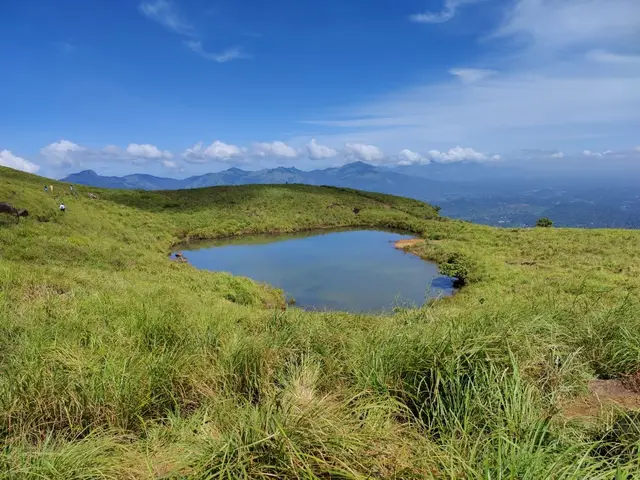
Full-day forest-department trek from Meppadi side to the heart-shaped lake viewpoint area on Chembra Peak.
Official source →Verified hotels, homestays, restaurants, experiences, sights, shops and rentals around Neelimala View Point — commission-free, with direct contact. Filter by what you need.
Resort dining and local food in Meppadi and Chembra. After The Rains, Valathoor, Rippon, Wayanad, Kerala · Restaurant, Dining, Meppadi.
Plantation restaurant in Meppadi and Chembra. Near Meppadi and Chembra route, Wayanad district, Kerala · Plantation restaurant.
Book with the place itself. India’s cyber-crime coordination centre warned in April 2025 that convincing copies of hotel and pilgrimage booking sites are being pushed through sponsored search and social ads, taking payment for rooms the property never hears about. Every listing here links to the business’s own contact details and its own Google or Bing profile — we take no commission and sit in nobody’s payment path. If a booking page reached you through an ad, check the address bar against the property’s own site before you pay. Fraud can be reported on cybercrime.gov.in or on 1930.
Find food, accommodation and activities across Meppadi and Chembra. Browse the guides for places to eat, stay and explore along your route.
13 more places around Meppadi and Chembra. Open a guide to plan the visit and onward journey.
7.0 km · ~18 min by auto
Chembra Peak is the Meppadi-side trek landmark of Wayanad. Plan it only with current official permit, weather and reporting-time checks, then keep the rest of the day light for food, transfers or a nearby waterfall.
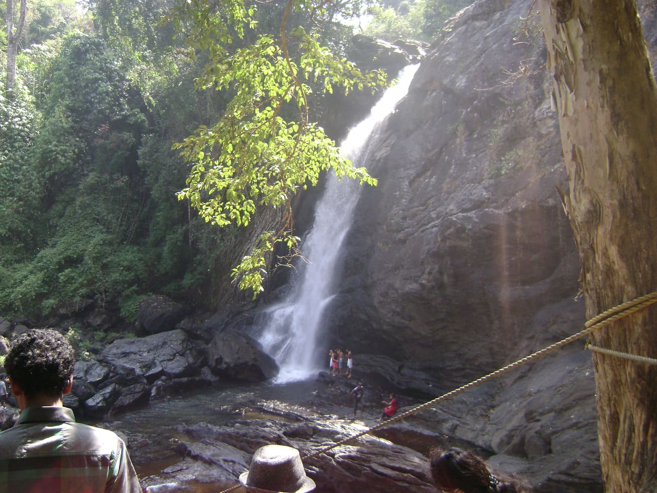
2.9 km · ~7 min by auto
Soochipara Waterfalls is a Meppadi-side waterfall reached through controlled access and a short forest walk. Check seasonal opening, crowding and rain conditions before adding it to a Chembra or 900 Kandi day.
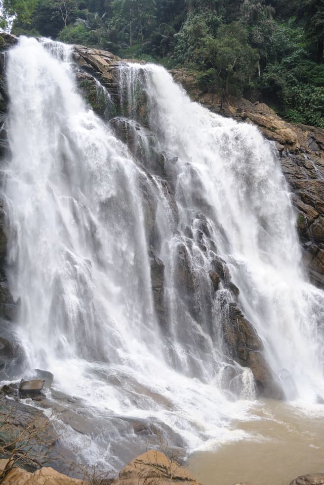
10.9 km · ~18 min by cab
The closed Meppadi–Vaduvanchal waterfall, also listed as Meenmutty Falls trek. The map marks Vaduvanchal bus stand for town orientation, not an open waterfall entrance. Banasura Meenmutty is a different site.
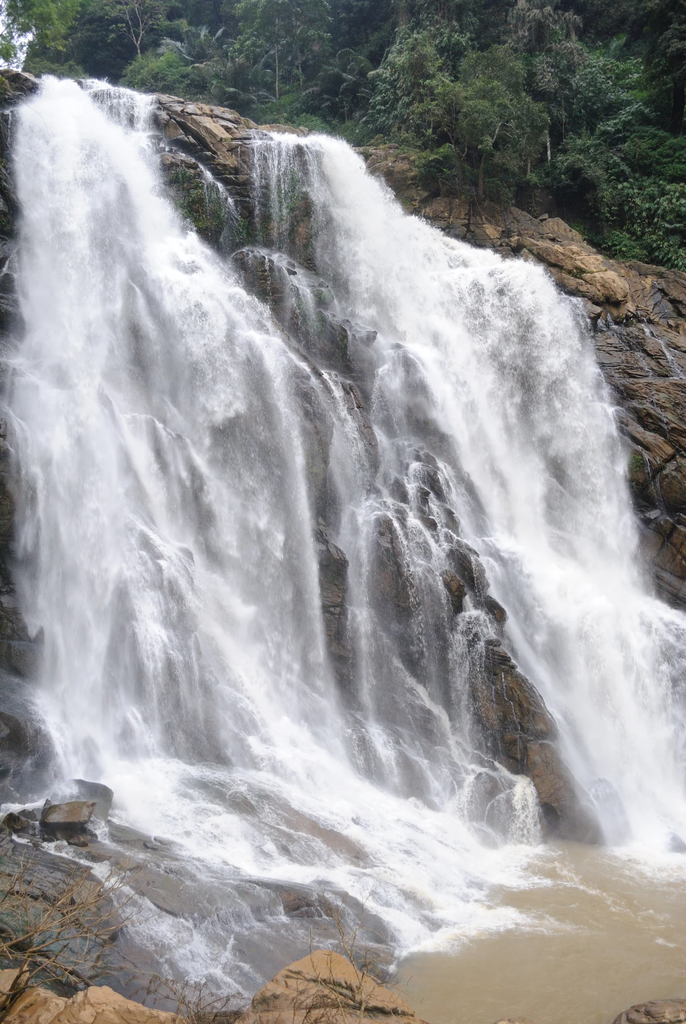
10.9 km · ~18 min by cab
The closed forest approach to Meenmutty Falls near Vaduvanchal on the Meppadi–Gudalur side of Wayanad. This is not Banasura Meenmutty near Padinjarathara; use this guide for identity and access context, not a bookable trek.
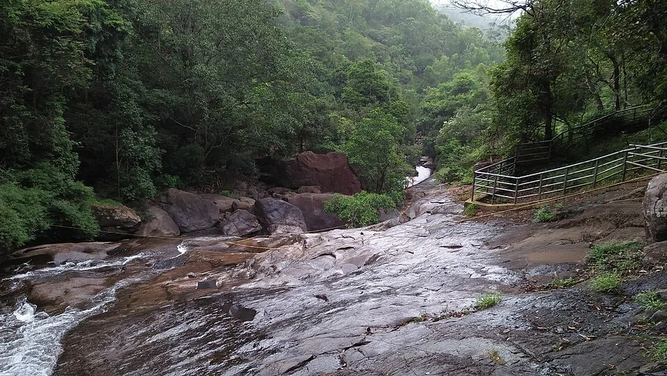
The Banasura-side Meenmutty at Kappikkalam, five kilometres from Banasura Sagar Dam—not the Meppadi or Makkiyad waterfalls with the same name.
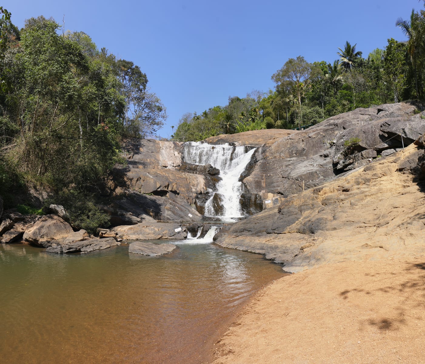
4.5 km · ~11 min by auto
Kanthanpara Waterfalls is a smaller Meppadi-side waterfall often used as a lighter alternative to busier falls. Confirm access, weather and local road conditions before pairing it with plantation stays or Chembra-side routes.
10.7 km · ~18 min by cab
A weather-dependent sunrise viewpoint name in the Vaduvanchal circuit. The map marks Vaduvanchal as the honest reporting base because no authoritative exact public gate is documented; it is not presented as an alias for Neelimala.
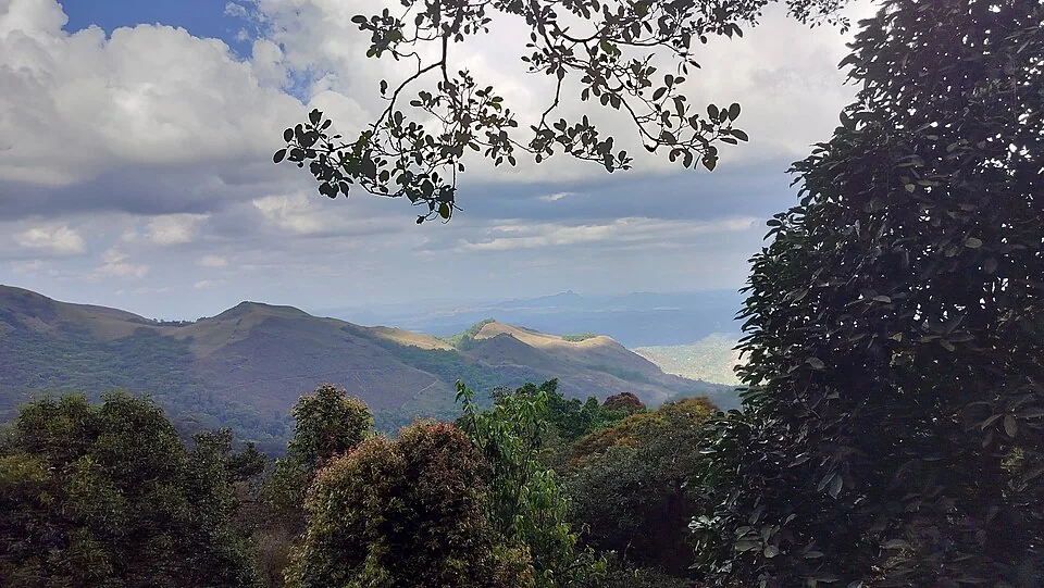
4.5 km · ~11 min by auto
The distinct Skypark adventure operator at 900 Kandi, with a glass walk, zip activities and a DTPC-published visitor marker separate from the neighbouring Eco Park.
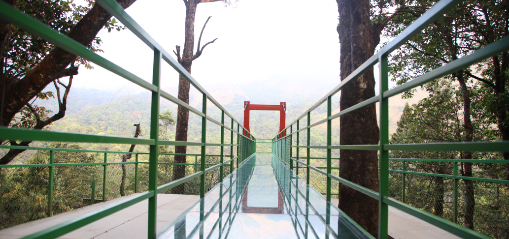
4.2 km · ~11 min by auto
A comparison guide to the distinct glass-bridge offers at 900 Kandi Eco Park and Skypark; choose the operator before navigating or buying a ticket.
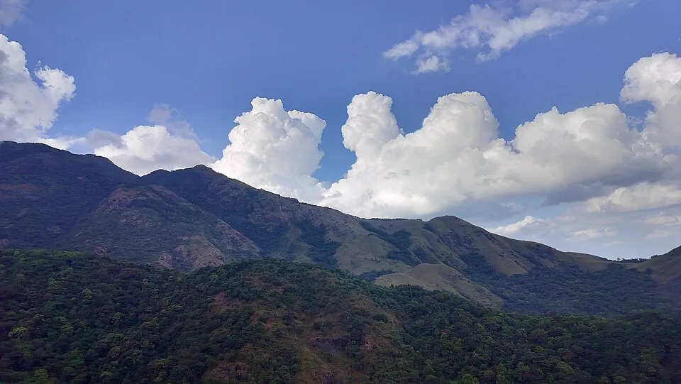
4.2 km · ~11 min by auto
The named private Eco Park at 900 Kandi, with its own glass bridge, skywalk and activity ticketing; it is separate from nearby Skypark.
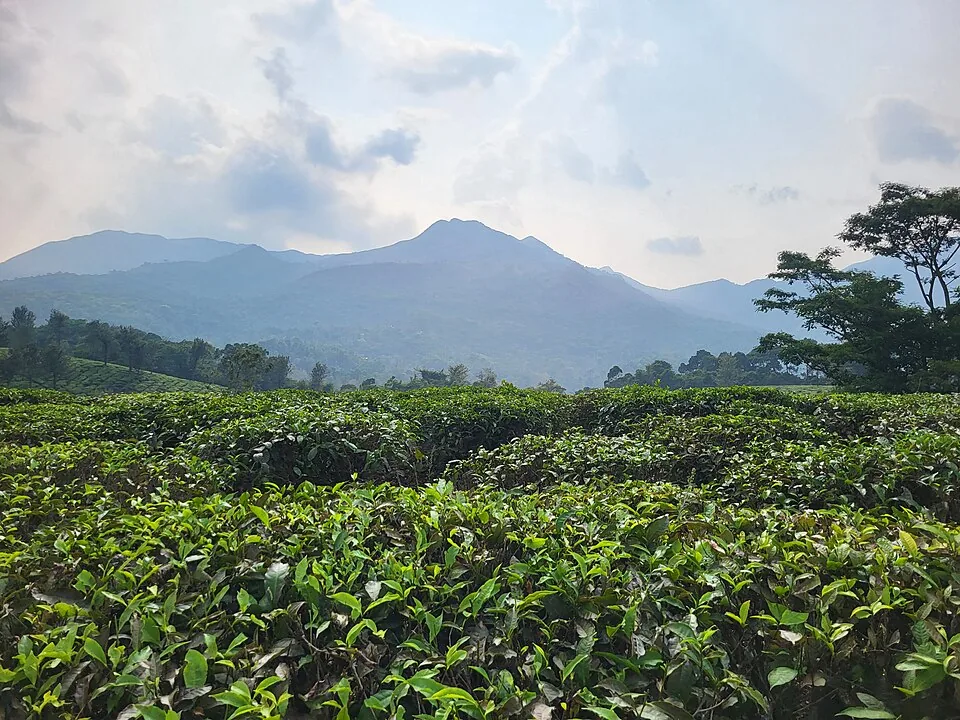
Harrisons Malayalam’s three-storey tea museum in its 1911 former factory at Achoor, with separately scheduled museum, tasting, working-factory and garden visits.
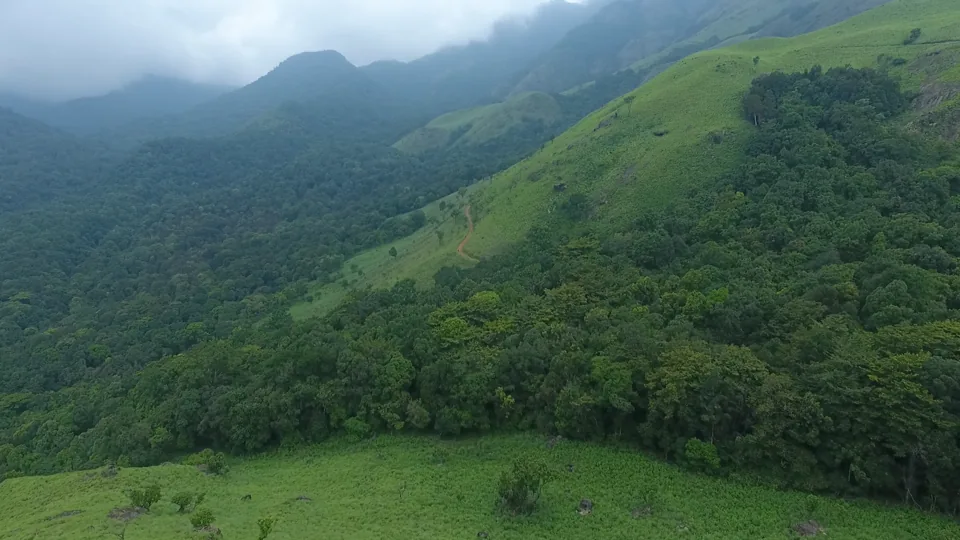
3.5 km · ~9 min by auto
Meppadi-side hill and trek landscape around Aranamala, best planned with local route, weather and access checks.
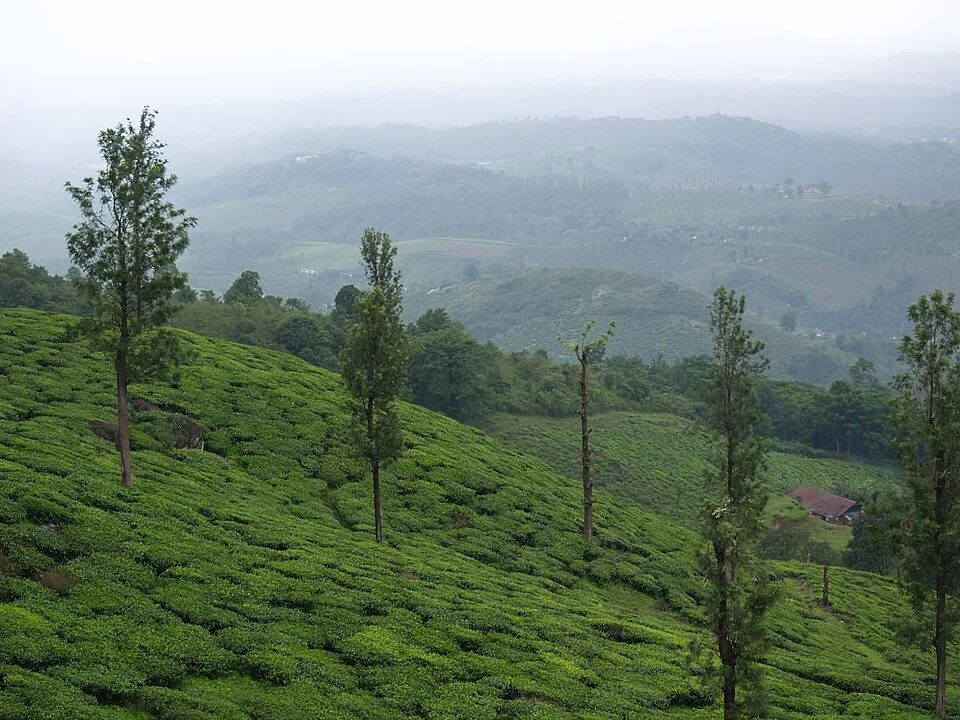
5.8 km · ~14 min by auto
A working tea-estate landscape rather than a single ticketed attraction. The map marks Rippon 52 village as the honest visitor base; any private walk or factory visit needs its own confirmed property address.
Roampedia is commission-free — own or know a stay, eatery, guide or shop near Neelimala View Point? List it and it appears here once verified.
Add a nearby businessEntry: Entry to the viewpoint is generally free; a jeep to the trail base is commonly cited at about ₹500 per jeep for a small group, and a guide or local charge may apply.
Dress code: Practical trekking wear — closed shoes or trekking shoes with good grip, light layers for the cool morning air, and a rain shell in or near the monsoon.
Photography: A superb spot for landscape and sunrise photography — carry a wide lens for the valley panorama and a longer lens to pull in distant Meenmutty Falls. Golden-hour light and low mist are the prizes; protect gear against damp and dew.
If you are travelling by bus or ferry, check the return service with the operator before setting out. Leave time to reach the stop or jetty after your visit.
Ask at the bus stand for the time of the last service back, not the next one. If you miss it, an auto or app cab is the fallback — agree the fare before you get in.
If you need step-free access, contact the site before travelling. Ask about a level entrance, steps along the route, the nearest drop-off point, seating and accessible toilets.
Emergency numbers are verified against official government and state tourism sources. 112 works anywhere in India.
Popular waterfall reached by a short forest walk, access varies by season.
2.9 km · ~7 min by auto · straight lineMeppadi-side hill and trek landscape around Aranamala, best planned with local route, weather and access checks.
3.5 km · ~9 min by auto · straight lineA comparison guide to the distinct glass-bridge offers at 900 Kandi Eco Park and Skypark; choose the operator before navigating or buying a ticket.
4.2 km · ~11 min by auto · straight lineThe named private Eco Park at 900 Kandi, with its own glass bridge, skywalk and activity ticketing; it is separate from nearby Skypark.
4.2 km · ~11 min by auto · straight lineMeppadi-side waterfall with easier access than some larger Wayanad falls, still weather-sensitive in monsoon.
4.5 km · ~11 min by auto · straight lineThe distinct Skypark adventure operator at 900 Kandi, with a glass walk, zip activities and a DTPC-published visitor marker separate from the neighbouring Eco Park.
4.5 km · ~11 min by auto · straight lineA working tea-estate landscape rather than a single ticketed attraction. The map marks Rippon 52 village as the honest visitor base; any private walk or factory visit needs its own confirmed property address.
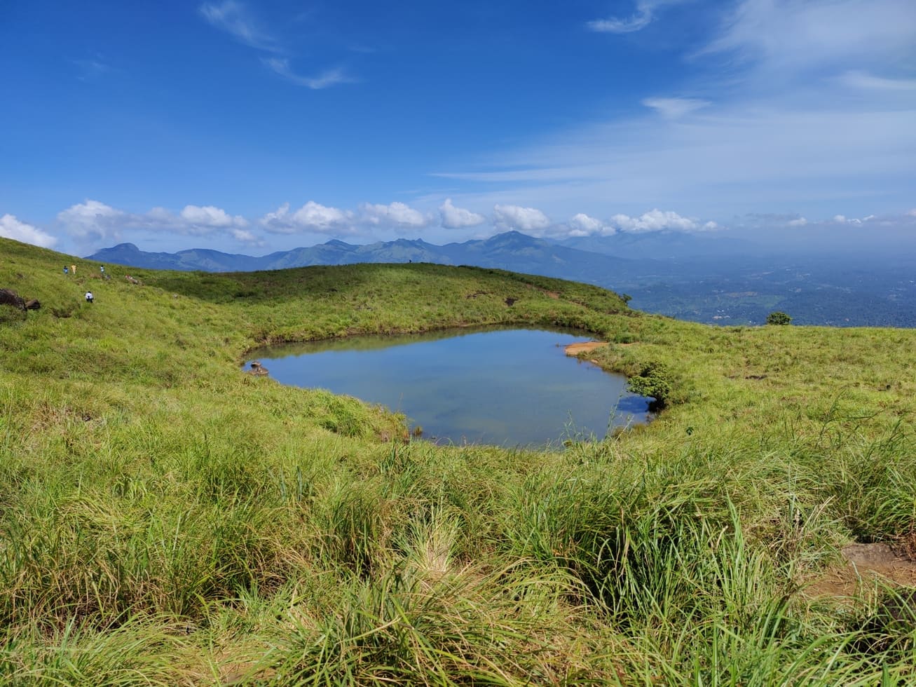
5.8 km · ~14 min by auto · straight lineFamous highland trek area, known for the heart-shaped lake viewpoint; permits and access vary.
7.0 km · ~18 min by auto · straight lineA weather-dependent sunrise viewpoint name in the Vaduvanchal circuit. The map marks Vaduvanchal as the honest reporting base because no authoritative exact public gate is documented; it is not presented as an alias for Neelimala.
10.7 km · ~18 min by cab · straight lineThe closed Meppadi–Vaduvanchal waterfall, also listed as Meenmutty Falls trek. The map marks Vaduvanchal bus stand for town orientation, not an open waterfall entrance. Banasura Meenmutty is a different site.
10.9 km · ~18 min by cab · straight lineThe closed forest approach to Meenmutty Falls near Vaduvanchal on the Meppadi–Gudalur side of Wayanad. This is not Banasura Meenmutty near Padinjarathara; use this guide for identity and access context, not a bookable trek.
10.9 km · ~18 min by cab · straight line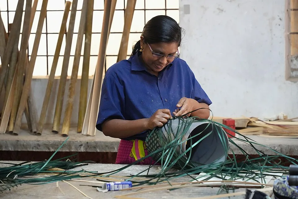
Thrikkaipatta bamboo craft and responsible-tourism village experience, useful from the Vythiri/Lakkidi side.
13.3 km · ~22 min by cab · straight lineIt is a moderate climb rather than a serious trek. Typically a rough jeep ride takes you partway, then a guided walk of roughly 2 to 3 kilometres leads to the top. The path is narrow and steep in places and can be slippery, so a reasonable level of fitness and proper shoes help.
Yes — on a clear day the distant Meenmutty Falls is visible across the valley as a white streak cutting through the forest. It is a long-range view of the falls, not the base of the cascade, which is much of Neelimala’s appeal.
Access is usually by hired jeep from around Vaduvanchal up to the trail base, commonly cited at about ₹500 per jeep for a small group. Entry to the viewpoint itself is generally free, though a guide fee or local charge may apply. Always confirm current rates on the spot.
Roughly September to May is best, avoiding the heavy monsoon when trails turn slick and views are often clouded. Early morning around sunrise gives the clearest air, the best light and the chance of a cloud-filled valley.
Allow about 2 to 3 hours in total, including the jeep ride, the walk up, time at the top and the return.
It is one of the go-to sunrise spots in Wayanad. Because you need to arrange a jeep and walk up, plan the logistics the day before and set out very early so you are on the summit as the light comes up.
Clear post-monsoon and winter days are best; mist can block views in hill areas.
Entry: Entry to the viewpoint is generally free; a jeep to the trail base is commonly cited at about ₹500 per jeep for a small group, and a guide or local charge may apply. Timings: Daytime visiting only; commonly listed as around 9 AM to 5 PM. For sunrise, access is arranged privately with jeep operators and guides, so agree an early start in advance.
Base yourself in Meppadi and Chembra or a nearby town in Wayanad, then confirm the last-mile route locally before leaving. Go early for clearer light and easier parking; sunset viewpoints can crowd quickly. If the visit depends on forest, temple, boat, ferry, weather or seasonal access, check the official/local rule on the day before travel.
45 minutes to 2 hours.
Nearby you can pair Soochipara Waterfalls (2.9 km), Aranamala Peak (3.5 km), Glass Bridge 900 Kandi (4.2 km), 900 Kandi Eco Park (4.2 km).
Stay behind barriers and away from cliff edges. Avoid viewpoints during lightning or heavy rain.
We have not published a story about Neelimala View Point itself yet. These cover Meppadi and Chembra and the wider district, with separate journeys between stops.
These guides explore Meppadi and Chembra and the surrounding area. Choose a visit that fits your interests, allowing separately for travel between stops.
Route-level itineraries and practical guides for the rest of Kerala.

Photographs: Kerala Tourism (Official tourism image), Kerala Tourism, Government of Kerala (Official tourism image — hosted by Kerala Tourism), Ravi Dwivedi (CC BY-SA 4.0). Wikimedia Commons.