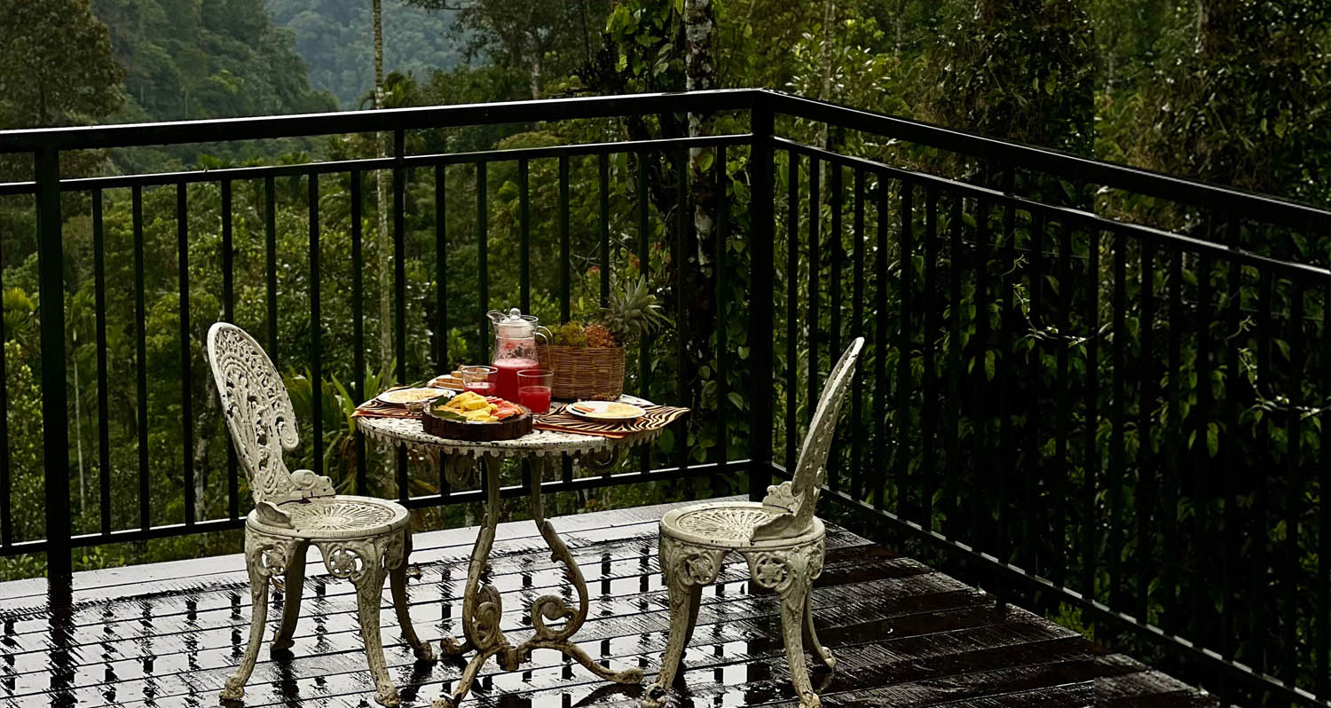
What to expect
Highlights
- Heritage experience at Ripon Tea Estate
- Architecture, local stories and old trade/cultural routes
- Good fit for guided walks and nearby cafes/shops
A working tea-estate landscape rather than a single ticketed attraction. The map marks Rippon 52 village as the honest visitor base; any private walk or factory visit needs its own confirmed property address.
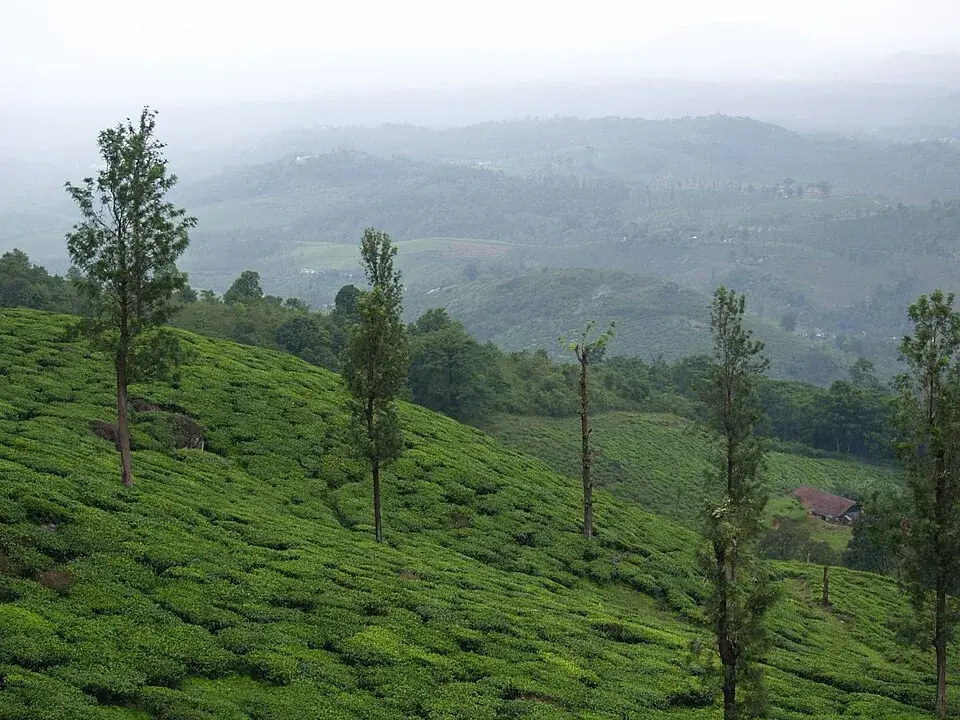
Ripon is a working tea landscape south of Meppadi, not a ticketed garden with a single public gate. The pleasure is the estate road, clipped contours, shade trees and the way cultivation reveals the shape of Wayanad’s hills; access beyond public roads remains the estate’s decision.
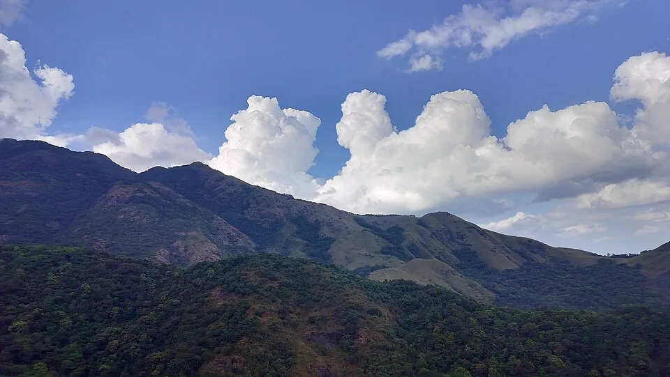
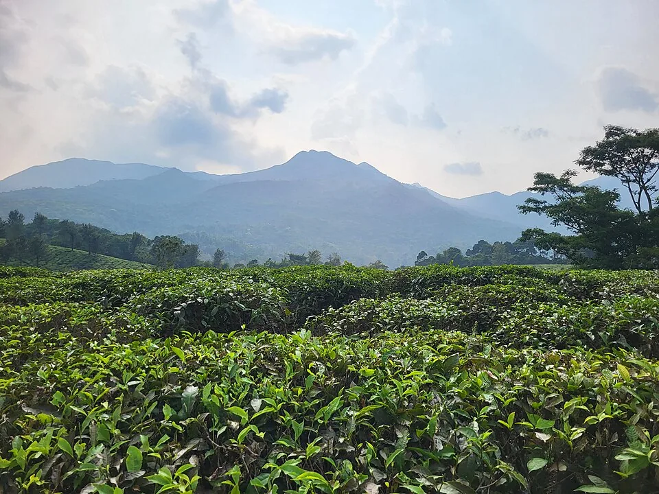
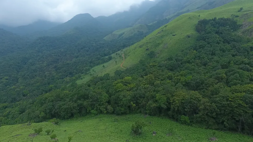
Tea changes how a slope can be read. Low bushes follow contour after contour while tall shade trees punctuate them like survey marks. In the opened Ripon and Meppadi photographs, narrow picking paths disappear into the planting and distant fields soften under haze. This is agricultural land arranged for work, even when the result looks ornamental.
The Ripon name belongs to the plantation belt around Meppadi and Vaduvanchal. It is commonly used for an estate, a locality and accommodation addresses, so a search result does not necessarily identify a visitor centre. There is no authoritative evidence for a universal admission ticket, guided tour or unrestricted factory visit. Arrange any private experience with the property that offers it.
Wayanad’s tea economy grew through the colonial plantation period and continued through successive companies and smaller holdings. That history should not be reduced to a romantic origin story. Estates were workplaces: bushes had to be pruned, tender shoots picked, leaf moved quickly to a factory, and drains and roads maintained through intense monsoon rain.
The public road offers the most honest first encounter. It bends between tea, retaining walls and planted shade without requiring anyone to enter a field. Pull over only where a vehicle can leave the carriageway completely; plantation bends are working routes for buses, jeeps and leaf transport, not photo bays.
Morning light gives the rows relief, while midday flattens them into a green surface. Mist is not a failed visit: it shows why drainage, shade and rapid weather changes structure work here. After heavy rain, roadside shoulders can soften and visibility can collapse quickly, so the return should be planned before dusk.
A tea bush is repeatedly shaped to keep a level plucking table. The neat surface visitors see is therefore the product of constant labour rather than a naturally low plant. Look for the contrast between clipped bushes, taller silver-oak shade and uncultivated stream margins; each layer does a different job.
Ripon pairs naturally with a tea museum or an operator-led factory visit, but those experiences should not be projected onto the estate itself. A road view explains cultivation; a museum explains machinery; a tasting explains processing choices. Keeping them separate makes each stop more truthful.
Photography should preserve that boundary. People working among bushes are not scenery, and a long lens does not replace consent. Wide views from the public edge communicate the scale of the planting without stepping across drains, gates or paths used by workers.
Tea planting remade parts of the Meppadi highlands into an industrial agricultural landscape linked by estate roads and factories.
Ripon’s present identity is distributed across working properties and a locality rather than one monument or public attraction.
The visible contours record repeated pruning, drainage and access work carried out over generations.
Read the geometry of tea across steep Wayanad slopes.
Follow a quiet public road through a working plantation belt.
See mist, shade trees and field paths at human scale.
Pair the landscape with a properly arranged museum or factory visit.
Road km to Wayanad; ghat roads and traffic vary — allow extra.
November to February and early mornings are best for walking; avoid midday heat where possible.
Live forecast loads in your browser.
Sun and moon are calculated for this location and shown in IST. Photography windows are the hour around sunrise and sunset; the sunset bearing is degrees clockwise from true north. Moon phase is accurate to about half a day.
These are official or public-sector eco offerings that match this place, town or forest destination. Confirm availability, permits, tariffs and reporting times with the official operator before travel.
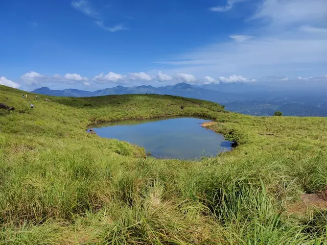
Full-day forest-department trek from Meppadi side to the heart-shaped lake viewpoint area on Chembra Peak.
Official source →Verified hotels, homestays, restaurants, experiences, sights, shops and rentals around Ripon Tea Estate — commission-free, with direct contact. Filter by what you need.
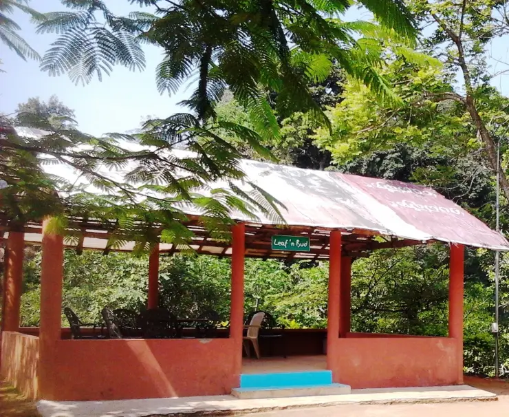
Resort dining and local food in Meppadi and Chembra. After The Rains, Valathoor, Rippon, Wayanad, Kerala · Restaurant, Dining, Meppadi.
Plantation restaurant in Meppadi and Chembra. Near Meppadi and Chembra route, Wayanad district, Kerala · Plantation restaurant.
Book with the place itself. India’s cyber-crime coordination centre warned in April 2025 that convincing copies of hotel and pilgrimage booking sites are being pushed through sponsored search and social ads, taking payment for rooms the property never hears about. Every listing here links to the business’s own contact details and its own Google or Bing profile — we take no commission and sit in nobody’s payment path. If a booking page reached you through an ad, check the address bar against the property’s own site before you pay. Fraud can be reported on cybercrime.gov.in or on 1930.
Find food, accommodation and activities across Meppadi and Chembra. Browse the guides for places to eat, stay and explore along your route.
13 more places around Meppadi and Chembra. Open a guide to plan the visit and onward journey.
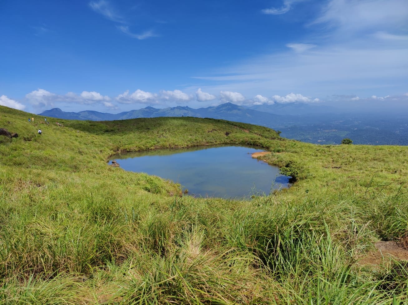
Chembra Peak is the Meppadi-side trek landmark of Wayanad. Plan it only with current official permit, weather and reporting-time checks, then keep the rest of the day light for food, transfers or a nearby waterfall.
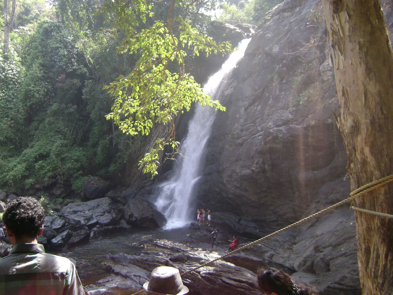
3.0 km · ~8 min by auto
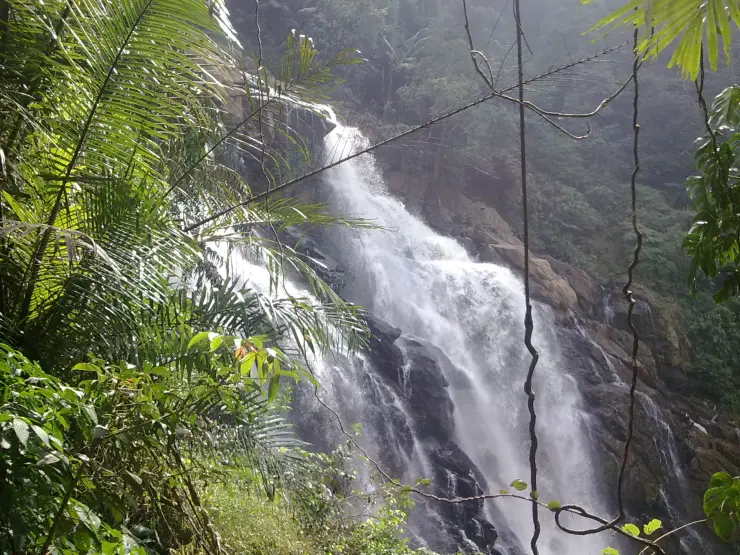
Soochipara Waterfalls is a Meppadi-side waterfall reached through controlled access and a short forest walk. Check seasonal opening, crowding and rain conditions before adding it to a Chembra or 900 Kandi day.
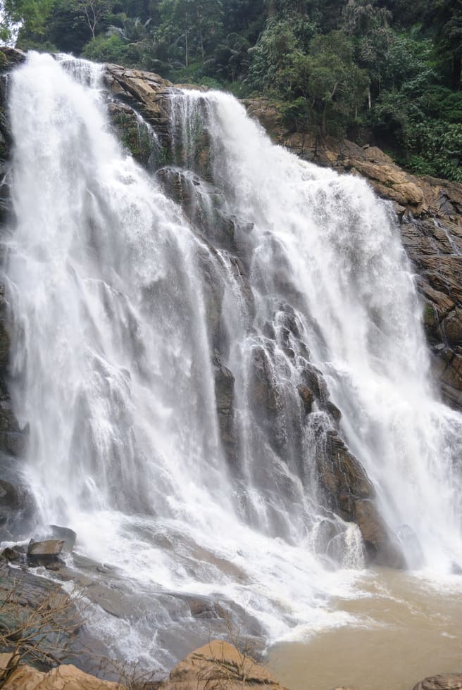
6.4 km · ~16 min by auto
The closed Meppadi–Vaduvanchal waterfall, also listed as Meenmutty Falls trek. The map marks Vaduvanchal bus stand for town orientation, not an open waterfall entrance. Banasura Meenmutty is a different site.
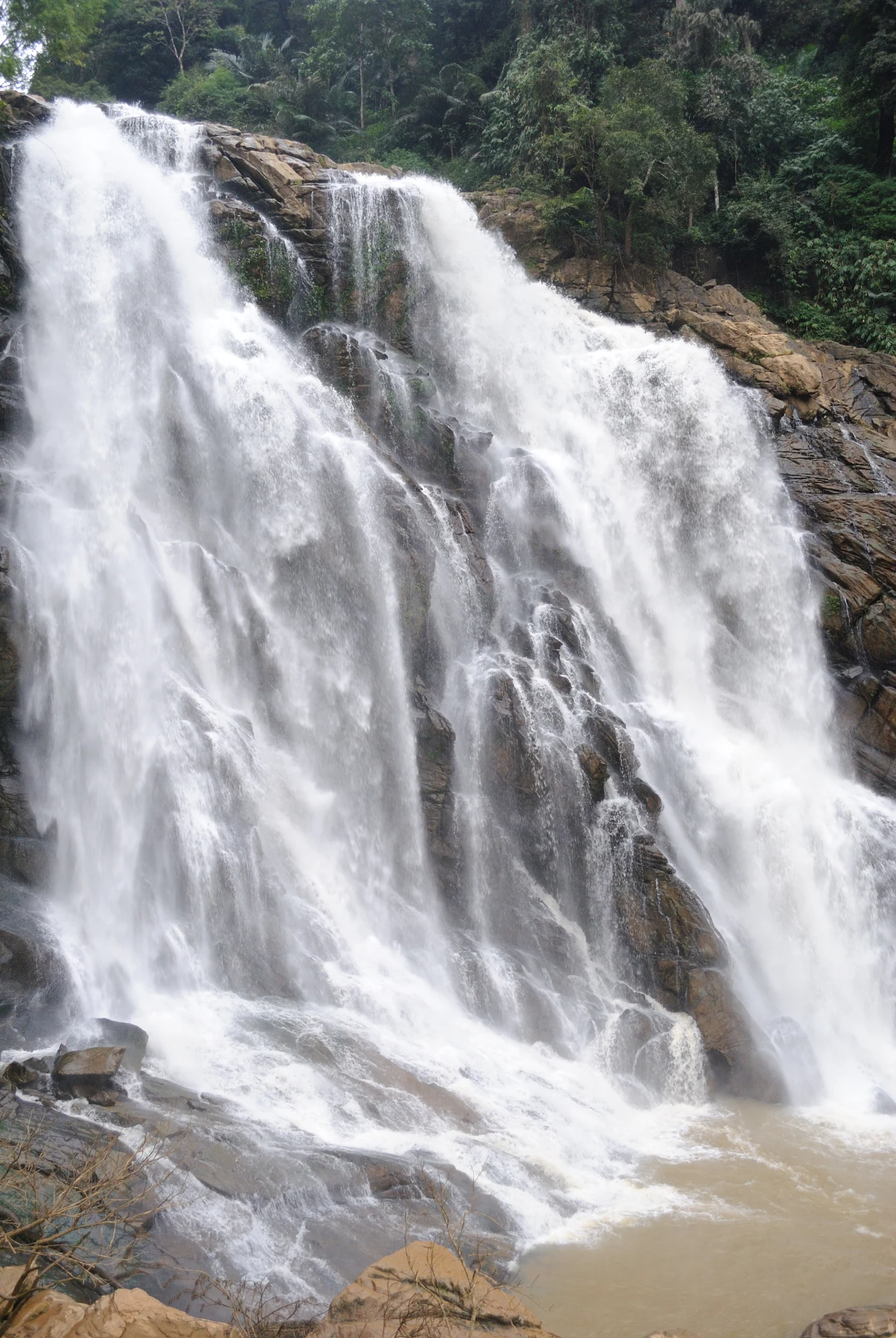
6.4 km · ~16 min by auto
The closed forest approach to Meenmutty Falls near Vaduvanchal on the Meppadi–Gudalur side of Wayanad. This is not Banasura Meenmutty near Padinjarathara; use this guide for identity and access context, not a bookable trek.
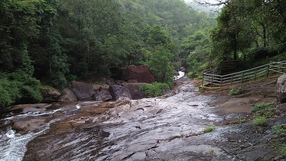
The Banasura-side Meenmutty at Kappikkalam, five kilometres from Banasura Sagar Dam—not the Meppadi or Makkiyad waterfalls with the same name.
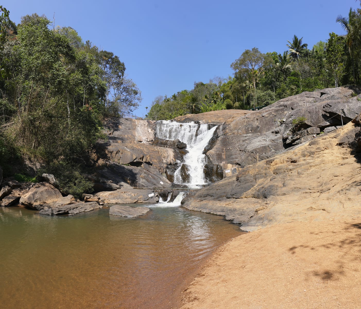
4.5 km · ~11 min by auto
Kanthanpara Waterfalls is a smaller Meppadi-side waterfall often used as a lighter alternative to busier falls. Confirm access, weather and local road conditions before pairing it with plantation stays or Chembra-side routes.
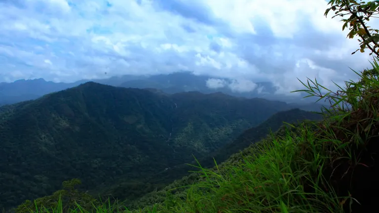
5.8 km · ~14 min by auto
Vaduvanchal/Meppadi-side viewpoint and trek route known for views toward Meenmutty Waterfalls and the Western Ghats.
6.2 km · ~15 min by auto
A weather-dependent sunrise viewpoint name in the Vaduvanchal circuit. The map marks Vaduvanchal as the honest reporting base because no authoritative exact public gate is documented; it is not presented as an alias for Neelimala.
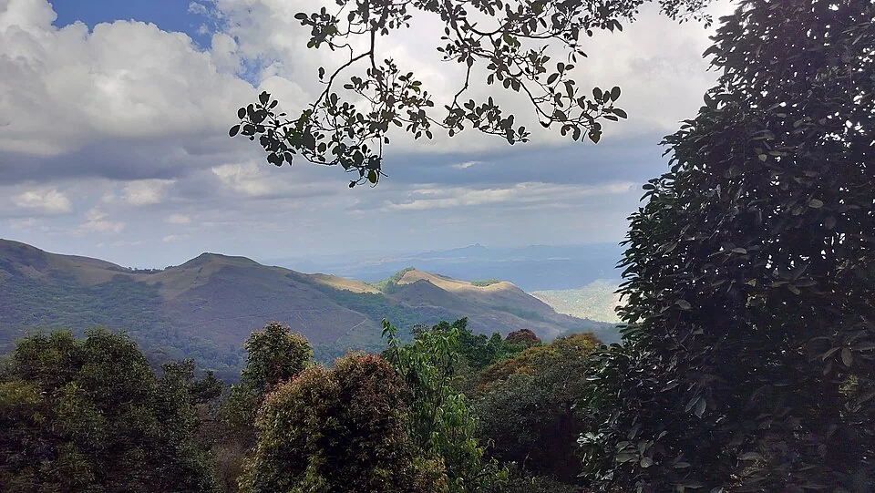
7.5 km · ~19 min by auto
The distinct Skypark adventure operator at 900 Kandi, with a glass walk, zip activities and a DTPC-published visitor marker separate from the neighbouring Eco Park.
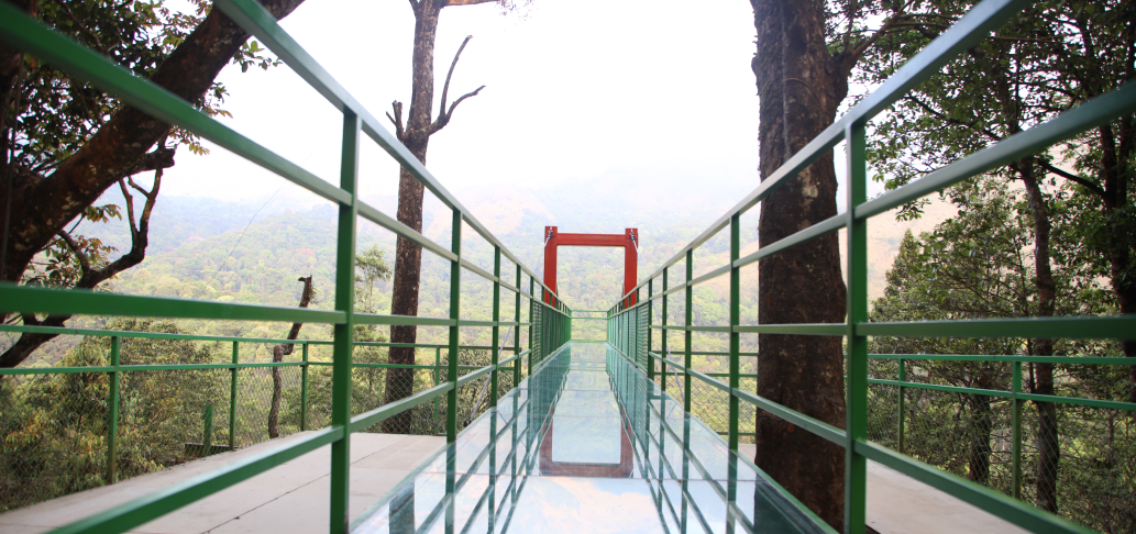
7.3 km · ~18 min by auto
A comparison guide to the distinct glass-bridge offers at 900 Kandi Eco Park and Skypark; choose the operator before navigating or buying a ticket.
7.3 km · ~18 min by auto
The named private Eco Park at 900 Kandi, with its own glass bridge, skywalk and activity ticketing; it is separate from nearby Skypark.
Harrisons Malayalam’s three-storey tea museum in its 1911 former factory at Achoor, with separately scheduled museum, tasting, working-factory and garden visits.
8.4 km · ~14 min by cab
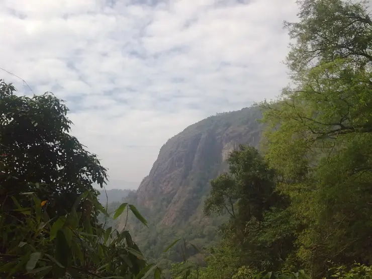
Meppadi-side hill and trek landscape around Aranamala, best planned with local route, weather and access checks.
Roampedia is commission-free — own or know a stay, eatery, guide or shop near Ripon Tea Estate? List it and it appears here once verified.
Add a nearby businessEntry: No general public estate ticket is published; private walks or tours may charge separately.
Parking: There is no verified public attraction car park. Stop only at a legal, firm shoulder where the whole vehicle clears the narrow road.
If you are travelling by bus or ferry, check the return service with the operator before setting out. Leave time to reach the stop or jetty after your visit.
Ask at the bus stand for the time of the last service back, not the next one. If you miss it, an auto or app cab is the fallback — agree the fare before you get in.
If you need step-free access, contact the site before travelling. Ask about a level entrance, steps along the route, the nearest drop-off point, seating and accessible toilets.
Emergency numbers are verified against official government and state tourism sources. 112 works anywhere in India.
Popular waterfall reached by a short forest walk, access varies by season.
3.0 km · ~8 min by auto · straight lineMeppadi-side waterfall with easier access than some larger Wayanad falls, still weather-sensitive in monsoon.
4.5 km · ~11 min by auto · straight lineVaduvanchal/Meppadi-side viewpoint and trek route known for views toward Meenmutty Waterfalls and the Western Ghats.
5.8 km · ~14 min by auto · straight lineA weather-dependent sunrise viewpoint name in the Vaduvanchal circuit. The map marks Vaduvanchal as the honest reporting base because no authoritative exact public gate is documented; it is not presented as an alias for Neelimala.
6.2 km · ~15 min by auto · straight lineThe closed Meppadi–Vaduvanchal waterfall, also listed as Meenmutty Falls trek. The map marks Vaduvanchal bus stand for town orientation, not an open waterfall entrance. Banasura Meenmutty is a different site.
6.4 km · ~16 min by auto · straight lineThe closed forest approach to Meenmutty Falls near Vaduvanchal on the Meppadi–Gudalur side of Wayanad. This is not Banasura Meenmutty near Padinjarathara; use this guide for identity and access context, not a bookable trek.
6.4 km · ~16 min by auto · straight lineA comparison guide to the distinct glass-bridge offers at 900 Kandi Eco Park and Skypark; choose the operator before navigating or buying a ticket.
7.3 km · ~18 min by auto · straight lineThe named private Eco Park at 900 Kandi, with its own glass bridge, skywalk and activity ticketing; it is separate from nearby Skypark.
7.3 km · ~18 min by auto · straight lineThe distinct Skypark adventure operator at 900 Kandi, with a glass walk, zip activities and a DTPC-published visitor marker separate from the neighbouring Eco Park.
7.5 km · ~19 min by auto · straight lineMeppadi-side hill and trek landscape around Aranamala, best planned with local route, weather and access checks.
8.4 km · ~14 min by cab · straight line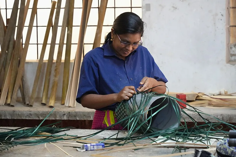
Thrikkaipatta bamboo craft and responsible-tourism village experience, useful from the Vythiri/Lakkidi side.
8.6 km · ~14 min by cab · straight line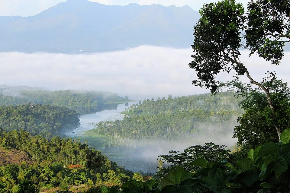
Reservoir and garden-side attraction near the Ambalavayal/Kalpetta side of Wayanad.
8.8 km · ~15 min by cab · straight lineThere is no single verified public gate or universal estate ticket. Public-road views are possible; arrange any walk, factory entry or tasting with the specific property offering it.
Only with permission. The fields, picking paths and factory roads are working private property.
Morning usually gives softer light and a better daylight margin. Cloud and mist can arrive quickly in every season.
No. Achoor is a named museum and tour product; Ripon is a broader working estate landscape.
No authoritative source publishes one general Ripon estate fee. A private host or tour may charge for its own experience.
November to February and early mornings are best for walking; avoid midday heat where possible.
Entry: No general public estate ticket is published; private walks or tours may charge separately. Timings: No universal visitor hours are published for the working estate landscape.
Base yourself in Meppadi and Chembra or a nearby town in Wayanad, then confirm the last-mile route locally before leaving. Walkable heritage areas are best done slowly; combine nearby streets, museums, markets and food stops. If the visit depends on forest, temple, boat, ferry, weather or seasonal access, check the official/local rule on the day before travel.
1 to 3 hours.
Nearby you can pair Soochipara Waterfalls (3.0 km), Kanthanpara Waterfalls (4.5 km), Neelimala View Point (5.8 km), Sunrise Valley View Point (6.2 km).
Watch traffic on narrow heritage streets. Keep valuables close in crowded markets.
We have not published a story about Ripon Tea Estate itself yet. These cover Meppadi and Chembra and the wider district, with separate journeys between stops.
These guides explore Meppadi and Chembra and the surrounding area. Choose a visit that fits your interests, allowing separately for travel between stops.
Route-level itineraries and practical guides for the rest of Kerala.


Photographs: Dhruvaraj S (CC BY 2.0), Athulvis (CC BY-SA 4.0), Ravi Dwivedi (CC BY-SA 4.0). Wikimedia Commons.