What to expect
Highlights
- Popular Meppadi-side waterfall with forested approach.
- Pairs with Chembra, Kanthanpara, Meppadi stays and Kalpetta routes.
- Local services run to drivers, homestays, guides and food stops.
Soochipara Waterfalls, also called Sentinel Rock Waterfalls, is a popular Meppadi-side waterfall reached by a forested walk and controlled visitor access. It is one of Wayanad's busiest waterfall pages and needs clear safety expectations.
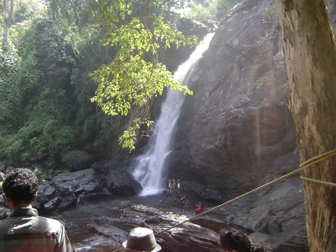
Plan around current opening, ticketing, water level and path condition. The final walk can be slippery, and heavy rain can close access quickly.
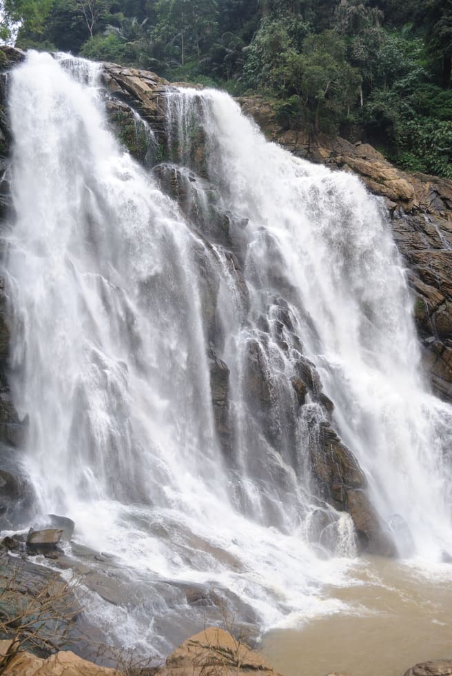
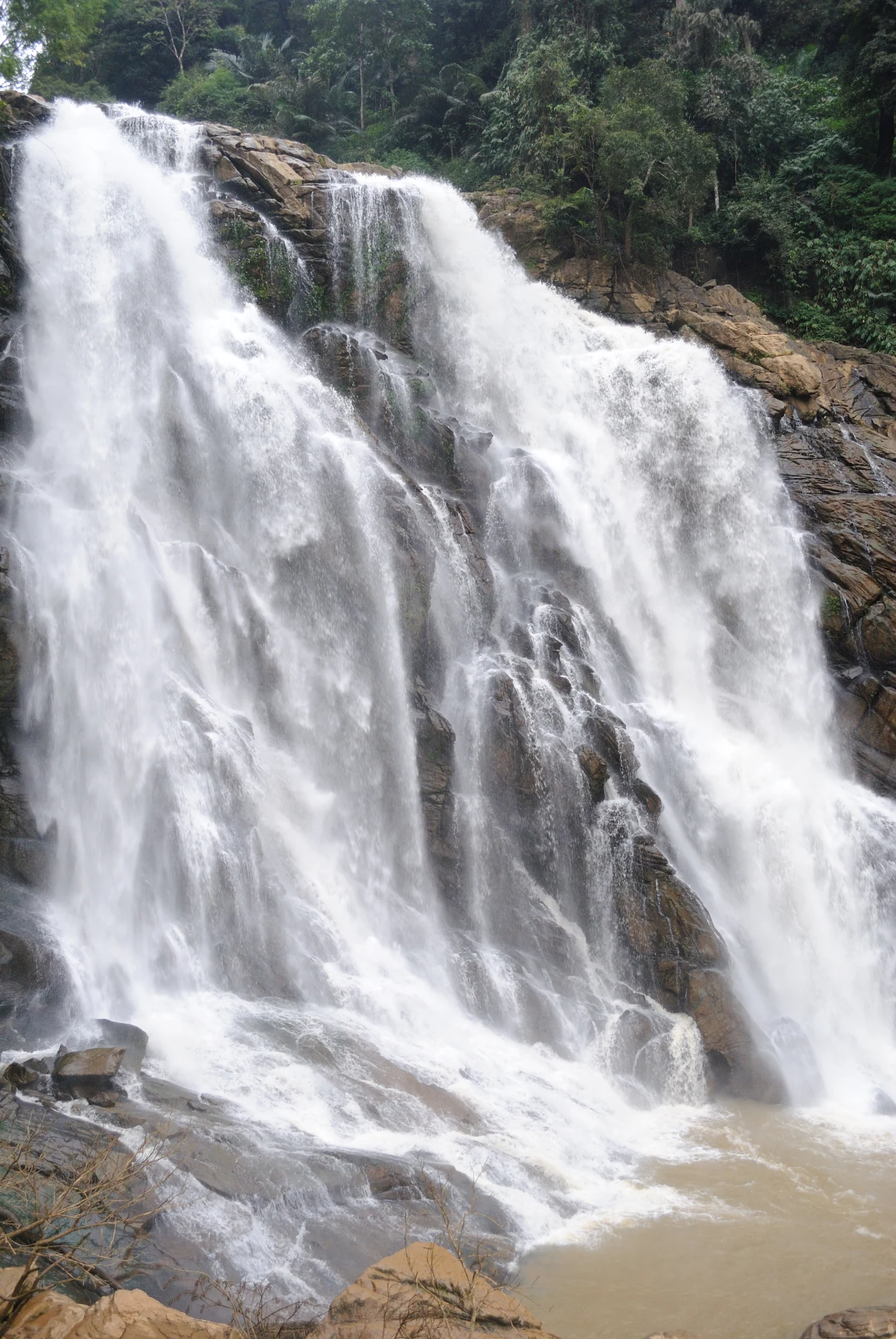
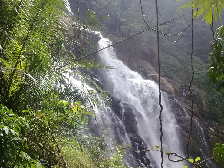
A forest path spills you out at the foot of a roaring three-tiered curtain of water, where a needle-sharp rock stands sentinel over a swimmable green pool.
Soochipara Waterfalls — officially signposted as Sentinel Rock Waterfalls — is one of Wayanad’s most loved cascades, tumbling roughly 200 metres in three distinct tiers down the flank of the Vellarimala range near Meppadi. The name is pure Malayalam geography: “Soochi” means needle and “Para” means rock, a nod to the sharp, needle-like rock formations that frame the falls and give the “Sentinel Rock” its brooding, watchful character.
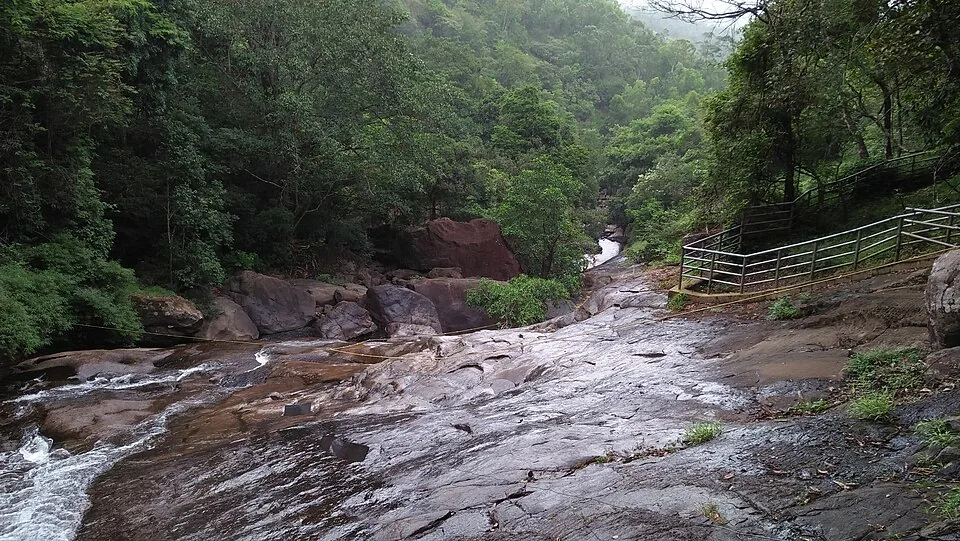
Getting to the water is half the adventure. From the entrance and car park you follow a well-laid forest trail that drops roughly 1.2 to 2 kilometres down through deciduous, evergreen and montane forest, a walk that most visitors cover in about fifteen to thirty minutes one way. The path is shaded and scenic, but the descent is deceptively easy — it is the climb back up, on tired legs and often in humid air, that people remember.
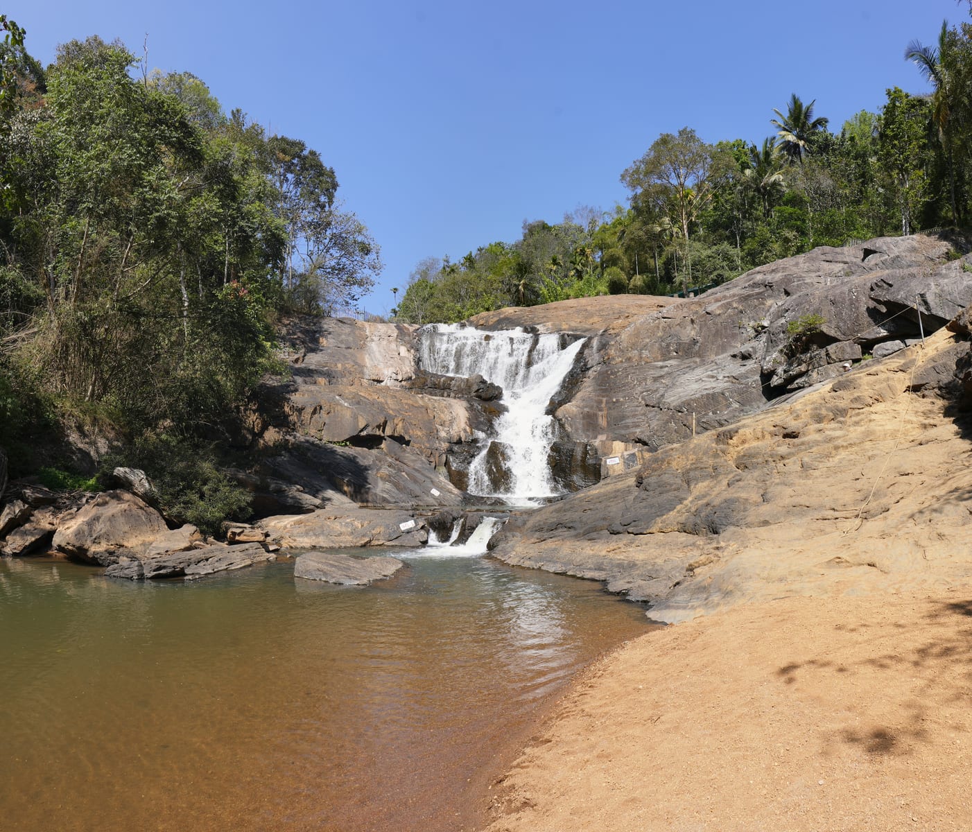
The reward at the bottom is theatrical. The stream arrives in three stages, each ledge throwing the water outward before it gathers into a broad, deep pool at the base. When flow and conditions are safe, that pool is the star attraction: a cool, forest-ringed basin where visitors wade, swim and bathe under the spray. Local guards and forest staff manage crowds and monitor conditions, and swimming is restricted or closed outright when the water is high and the current dangerous.
Beyond the swim, Soochipara has built a reputation as an adventure spot. The surrounding cliff face is popular for rock climbing, and the gorge is spanned by a thrilling zipline — often billed as one of Kerala’s longest — that sends riders soaring across the ravine with the falls as a backdrop. Zip-cycling across the valley is also on offer for those who want the height without the plunge.
The setting elevates the whole experience. The drive in from Meppadi threads through some of Wayanad’s finest tea estates, with the great massif of Chembra Peak — the district’s highest mountain — rising in the distance. The falls sit within the Vellarimala hills, and the water that thunders past eventually feeds into the Chaliyar (also called the Chulika) river system, linking this single cascade to a much larger watershed.
Because it is fed by monsoon-swollen hill streams, Soochipara is a creature of the seasons. In the rains and immediately after, it is a full-throated torrent; by the dry pre-monsoon months of March to June the flow thins dramatically and the pool shrinks. That rhythm — ferocious and swimmable in turn — is exactly why regulars insist on timing their visit rather than just turning up.
Vellarimala, the range that cradles Soochipara, is part of the Western Ghats escarpment that walls off Wayanad’s plateau from the plains of Kozhikode and Malappuram below. This is high-rainfall, high-relief country: steep forested ridges, montane grassland and a tangle of hill streams that the monsoon turns into waterfalls. Soochipara is one of the most accessible of these, which is a large part of why it became a headline attraction rather than a hidden one.
For much of its modern history the wider Meppadi belt has been plantation country. The colonial-era push into Wayanad’s highlands cleared and planted vast tracts with tea, coffee and cardamom, and the estates you drive through to reach the falls are a living remnant of that landscape. The falls themselves, tucked into the forest edge beyond the tea, remained a local secret long before they were formally opened to tourists.
Wayanad is also one of Kerala’s most tribal districts, home to communities such as the Paniya, Kurichiya, Kuruma and Adiyar peoples whose traditional lands lie across these forests and hills. The needle-rock landmark and the streams around it were known to local and forest-dependent communities long before signboards and ticket counters arrived, and that older, lived relationship with the land underlies the site’s place-names and character.
As Wayanad grew into one of South India’s favourite hill destinations, Soochipara was developed into a managed, ticketed spot with a marked trail, security check, plastic-free enforcement and staff at the pool. Oversight sits with the district tourism and forest authorities, and the “Sentinel Rock Waterfalls” branding you see on official Kerala Tourism listings dates from this formalisation — an English rendering of the same needle-and-guardian imagery captured by the Malayalam name.
Today the falls anchor a small adventure economy — zipline, zip-cycling and rock climbing operators, guides, parking and refreshment stalls — that sits alongside the older tea-estate world. It remains, at heart, a monsoon-fed Ghat waterfall whose fortunes rise and fall with the rains, but it now does so as one of the district’s signature stops.
A genuine three-tiered, roughly 200-metre cascade — one of Wayanad’s most dramatic waterfalls.
A cool forest trek down through evergreen and montane forest to reach the pool.
A large natural plunge pool for swimming and bathing when conditions are declared safe.
A high zipline across the gorge — reputedly among Kerala’s longest — plus zip-cycling.
Cliff faces popular for rock climbing beneath the “Sentinel Rock”.
A scenic tea-estate drive in from Meppadi with Chembra Peak on the horizon.
Road km to Wayanad; ghat roads and traffic vary — allow extra.
Post-monsoon to winter is best for flow and safer access. Heavy monsoon rain can close or make paths unsafe.
Live forecast loads in your browser.
Check the official alert before you travel. Kerala’s beaches, waterfalls and trekking routes close at short notice during heavy rain, and district alert levels change day to day. We do not publish an alert level of our own — read it from the state authority: Kerala State Disaster Management Authority, or the district control room on 1077.
Sun and moon are calculated for this location and shown in IST. Photography windows are the hour around sunrise and sunset; the sunset bearing is degrees clockwise from true north. Moon phase is accurate to about half a day.
These are official or public-sector eco offerings that match this place, town or forest destination. Confirm availability, permits, tariffs and reporting times with the official operator before travel.
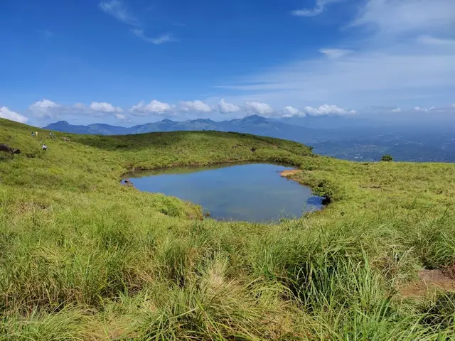
Full-day forest-department trek from Meppadi side to the heart-shaped lake viewpoint area on Chembra Peak.
Official source →Verified hotels, homestays, restaurants, experiences, sights, shops and rentals around Soochipara Waterfalls — commission-free, with direct contact. Filter by what you need.
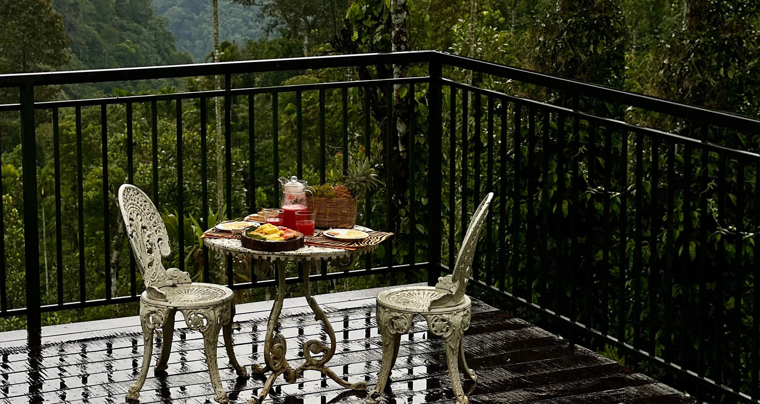
Resort dining and local food in Meppadi and Chembra. After The Rains, Valathoor, Rippon, Wayanad, Kerala · Restaurant, Dining, Meppadi.
Plantation restaurant in Meppadi and Chembra. Near Meppadi and Chembra route, Wayanad district, Kerala · meppadi-and-chembra, eat, Plantation restaurant.
Book with the place itself. India’s cyber-crime coordination centre warned in April 2025 that convincing copies of hotel and pilgrimage booking sites are being pushed through sponsored search and social ads, taking payment for rooms the property never hears about. Every listing here links to the business’s own contact details and its own Google or Bing profile — we take no commission and sit in nobody’s payment path. If a booking page reached you through an ad, check the address bar against the property’s own site before you pay. Fraud can be reported on cybercrime.gov.in or on 1930.
Find food, accommodation and activities across Meppadi and Chembra. Browse the guides for places to eat, stay and explore along your route.
13 more places around Meppadi and Chembra. Open a guide to plan the visit and onward journey.
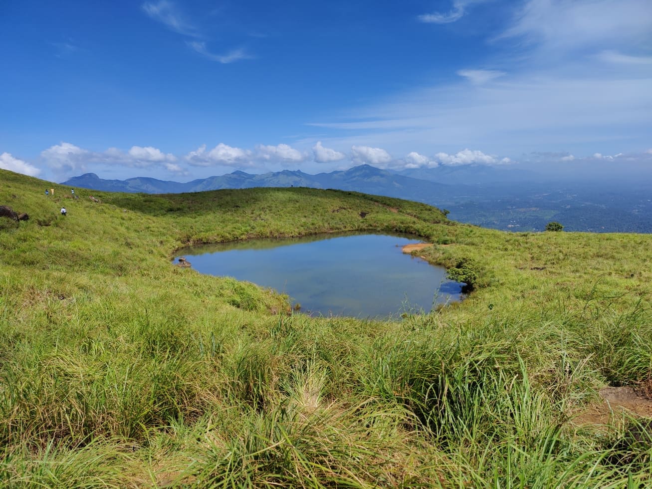
8.0 km · ~13 min by cab
Chembra Peak is the Meppadi-side trek landmark of Wayanad. Plan it only with current official permit, weather and reporting-time checks, then keep the rest of the day light for food, transfers or a nearby waterfall.
8.3 km · ~14 min by cab
The closed Meppadi–Vaduvanchal waterfall, also listed as Meenmutty Falls trek. The map marks Vaduvanchal bus stand for town orientation, not an open waterfall entrance. Banasura Meenmutty is a different site.
8.3 km · ~14 min by cab
The closed forest approach to Meenmutty Falls near Vaduvanchal on the Meppadi–Gudalur side of Wayanad. This is not Banasura Meenmutty near Padinjarathara; use this guide for identity and access context, not a bookable trek.
The Banasura-side Meenmutty at Kappikkalam, five kilometres from Banasura Sagar Dam—not the Meppadi or Makkiyad waterfalls with the same name.
3.9 km · ~10 min by auto
Kanthanpara Waterfalls is a smaller Meppadi-side waterfall often used as a lighter alternative to busier falls. Confirm access, weather and local road conditions before pairing it with plantation stays or Chembra-side routes.
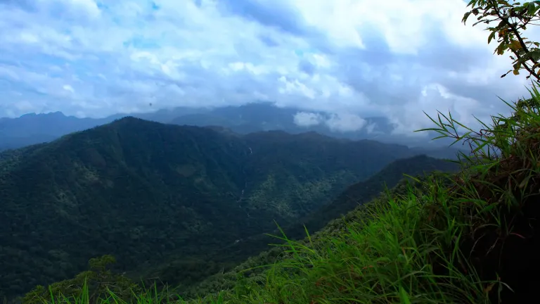
2.9 km · ~7 min by auto
Vaduvanchal/Meppadi-side viewpoint and trek route known for views toward Meenmutty Waterfalls and the Western Ghats.
8.0 km · ~13 min by cab
A weather-dependent sunrise viewpoint name in the Vaduvanchal circuit. The map marks Vaduvanchal as the honest reporting base because no authoritative exact public gate is documented; it is not presented as an alias for Neelimala.
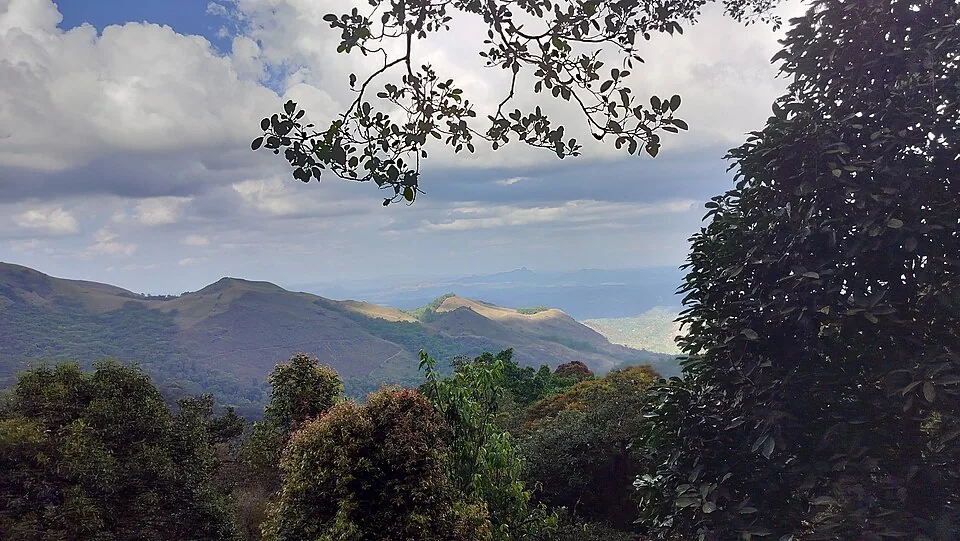
5.9 km · ~15 min by auto
The distinct Skypark adventure operator at 900 Kandi, with a glass walk, zip activities and a DTPC-published visitor marker separate from the neighbouring Eco Park.
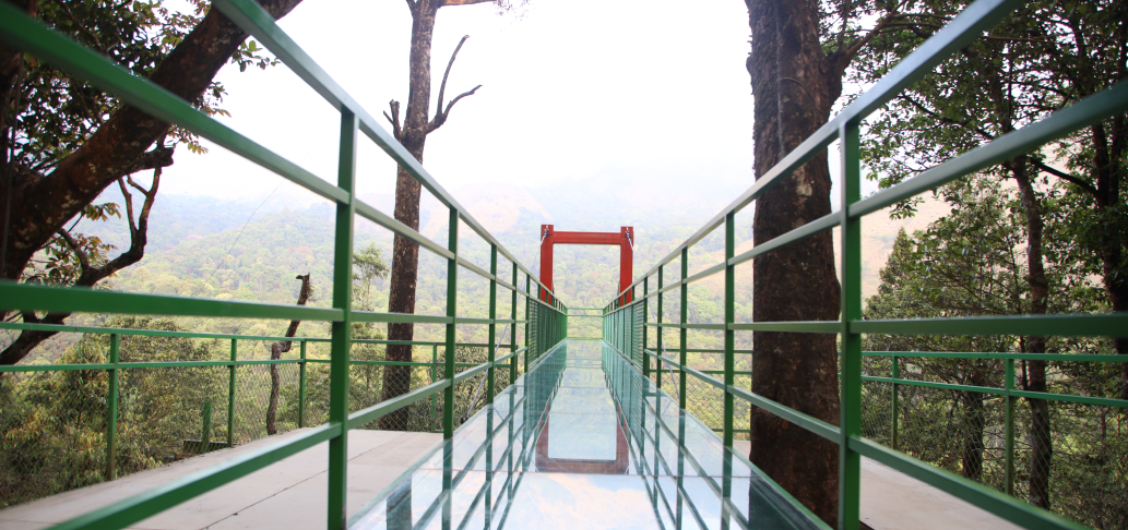
5.6 km · ~14 min by auto
A comparison guide to the distinct glass-bridge offers at 900 Kandi Eco Park and Skypark; choose the operator before navigating or buying a ticket.
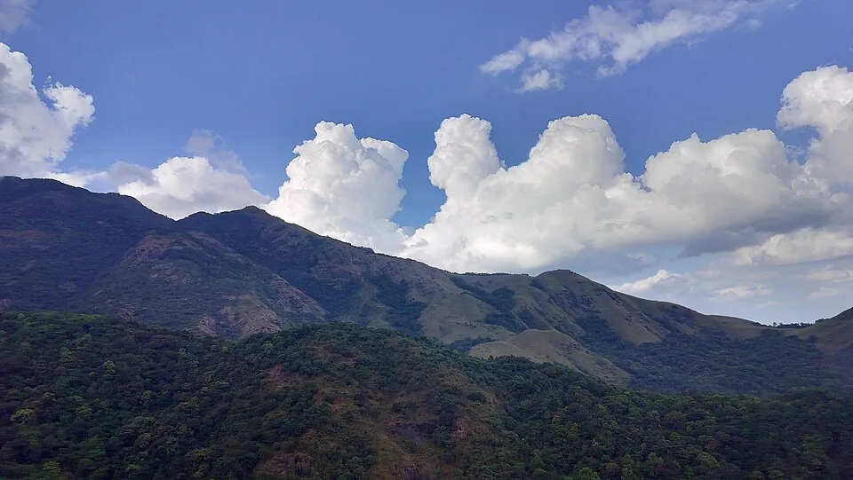
5.6 km · ~14 min by auto
The named private Eco Park at 900 Kandi, with its own glass bridge, skywalk and activity ticketing; it is separate from nearby Skypark.
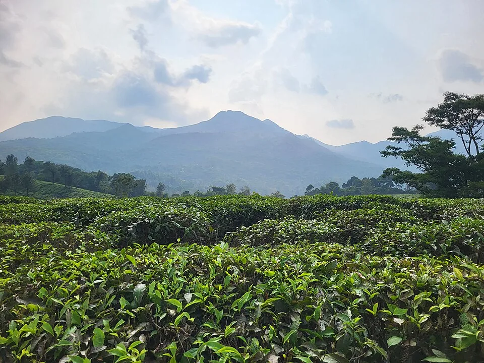
Harrisons Malayalam’s three-storey tea museum in its 1911 former factory at Achoor, with separately scheduled museum, tasting, working-factory and garden visits.
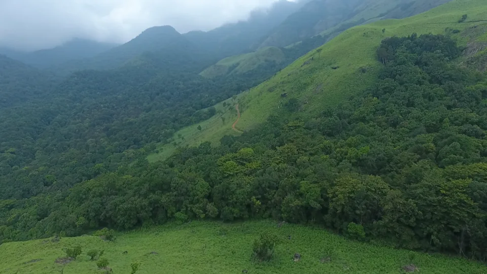
5.9 km · ~15 min by auto
Meppadi-side hill and trek landscape around Aranamala, best planned with local route, weather and access checks.
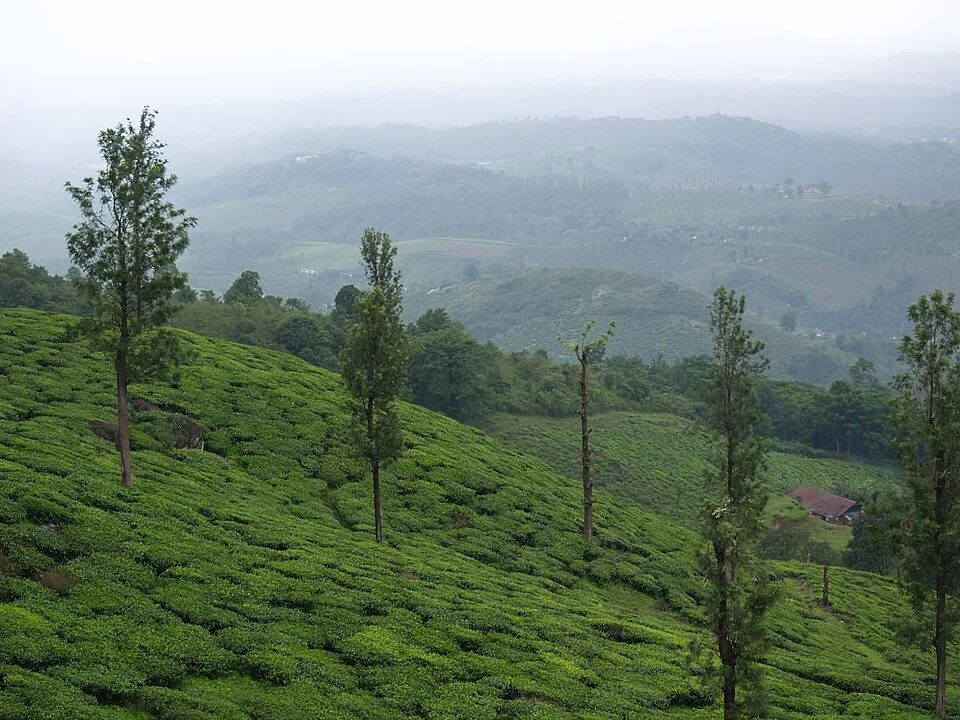
3.0 km · ~8 min by auto
A working tea-estate landscape rather than a single ticketed attraction. The map marks Rippon 52 village as the honest visitor base; any private walk or factory visit needs its own confirmed property address.
Roampedia is commission-free — own or know a stay, eatery, guide or shop near Soochipara Waterfalls? List it and it appears here once verified.
Add a nearby businessEntry: Entry roughly ₹80 per person (some sources list up to ₹150); camera fee around ₹50; parking charged extra; zipline reported around ₹500 both ways and zip-cycling around ₹300.
Dress code: Wear grippy, closed footwear for wet, slippery rock, and carry a change of clothes and a towel if you plan to get in the water. No special dress code otherwise.
Photography: A camera fee of around ₹50 typically applies for still/video gear. A plastic-free rule is enforced at the entrance security check.
If you are travelling by bus or ferry, check the return service with the operator before setting out. Leave time to reach the stop or jetty after your visit.
Ask at the bus stand for the time of the last service back, not the next one. If you miss it, an auto or app cab is the fallback — agree the fare before you get in.
If you need step-free access, contact the site before travelling. Ask about a level entrance, steps along the route, the nearest drop-off point, seating and accessible toilets.
Emergency numbers are verified against official government and state tourism sources. 112 works anywhere in India.
Vaduvanchal/Meppadi-side viewpoint and trek route known for views toward Meenmutty Waterfalls and the Western Ghats.
2.9 km · ~7 min by auto · straight lineA working tea-estate landscape rather than a single ticketed attraction. The map marks Rippon 52 village as the honest visitor base; any private walk or factory visit needs its own confirmed property address.
3.0 km · ~8 min by auto · straight lineMeppadi-side waterfall with easier access than some larger Wayanad falls, still weather-sensitive in monsoon.
3.9 km · ~10 min by auto · straight lineA comparison guide to the distinct glass-bridge offers at 900 Kandi Eco Park and Skypark; choose the operator before navigating or buying a ticket.
5.6 km · ~14 min by auto · straight lineThe named private Eco Park at 900 Kandi, with its own glass bridge, skywalk and activity ticketing; it is separate from nearby Skypark.
5.6 km · ~14 min by auto · straight lineThe distinct Skypark adventure operator at 900 Kandi, with a glass walk, zip activities and a DTPC-published visitor marker separate from the neighbouring Eco Park.
5.9 km · ~15 min by auto · straight lineMeppadi-side hill and trek landscape around Aranamala, best planned with local route, weather and access checks.
5.9 km · ~15 min by auto · straight lineFamous highland trek area, known for the heart-shaped lake viewpoint; permits and access vary.
8.0 km · ~13 min by cab · straight lineA weather-dependent sunrise viewpoint name in the Vaduvanchal circuit. The map marks Vaduvanchal as the honest reporting base because no authoritative exact public gate is documented; it is not presented as an alias for Neelimala.
8.0 km · ~13 min by cab · straight lineThe closed Meppadi–Vaduvanchal waterfall, also listed as Meenmutty Falls trek. The map marks Vaduvanchal bus stand for town orientation, not an open waterfall entrance. Banasura Meenmutty is a different site.
8.3 km · ~14 min by cab · straight lineThe closed forest approach to Meenmutty Falls near Vaduvanchal on the Meppadi–Gudalur side of Wayanad. This is not Banasura Meenmutty near Padinjarathara; use this guide for identity and access context, not a bookable trek.
8.3 km · ~14 min by cab · straight line
Thrikkaipatta bamboo craft and responsible-tourism village experience, useful from the Vythiri/Lakkidi side.
11.1 km · ~19 min by cab · straight lineIt is Malayalam: “Soochi” means needle and “Para” means rock, referring to the sharp, needle-like rock formations around the falls. The site is also officially called Sentinel Rock Waterfalls.
Yes, there is a large pool at the base where visitors swim and bathe — but only when staff declare it safe. During and just after heavy monsoon rains, when the water is high and the current strong, swimming is restricted or closed. Always follow the on-site guards and warning flags.
Yes. A zipline runs across the gorge and is often promoted as one of Kerala’s longest, with zip-cycling also on offer. Prices are indicative (reported around ₹500 for the zipline both ways and ₹300 for zip-cycling) — confirm current rates and operating status locally.
The trail from the entrance drops roughly 1.2 to 2 kilometres and takes about 15 to 30 minutes one way. The descent is easy; the climb back up is the tiring part, so allow extra time and carry water.
October to February (post-monsoon and winter) offers full but manageable flow and cooler weather ideal for the trek. The monsoon shows the falls at their most powerful but with slippery rocks and possible swimming closures, while March to June sees flow drop sharply.
It is roughly 13 kilometres from Meppadi and about 22 to 24 kilometres from Kalpetta, and around 46 kilometres from Sulthan Bathery. The final approach is a short drive from Meppadi through tea estates, then the walk down.
Post-monsoon to winter is best for flow and safer access. Heavy monsoon rain can close or make paths unsafe.
Entry: Entry roughly ₹80 per person (some sources list up to ₹150); camera fee around ₹50; parking charged extra; zipline reported around ₹500 both ways and zip-cycling around ₹300. Timings: Generally open daily around 8:00 am to 5:00 pm, with last entry earlier (some sources list 9:00 am to 4:30 pm). Daytime visits only.
Base in Meppadi, Kalpetta or Vythiri and check current access before leaving. Wear footwear with grip and carry water in a reusable bottle. Start earlier on weekends and holidays to avoid parking/queue pressure.
2 to 3 hours.
Nearby you can pair Neelimala View Point (2.9 km), Ripon Tea Estate (3.0 km), Kanthanpara Waterfalls (3.9 km), Glass Bridge 900 Kandi (5.6 km).
Do not enter closed pools or climb wet rocks. Avoid the falls during heavy rain, lightning or sudden water-level changes. Follow staff instructions and marked paths.
We have not published a story about Soochipara Waterfalls itself yet. These cover Meppadi and Chembra and the wider district, with separate journeys between stops.
These guides explore Meppadi and Chembra and the surrounding area. Choose a visit that fits your interests, allowing separately for travel between stops.
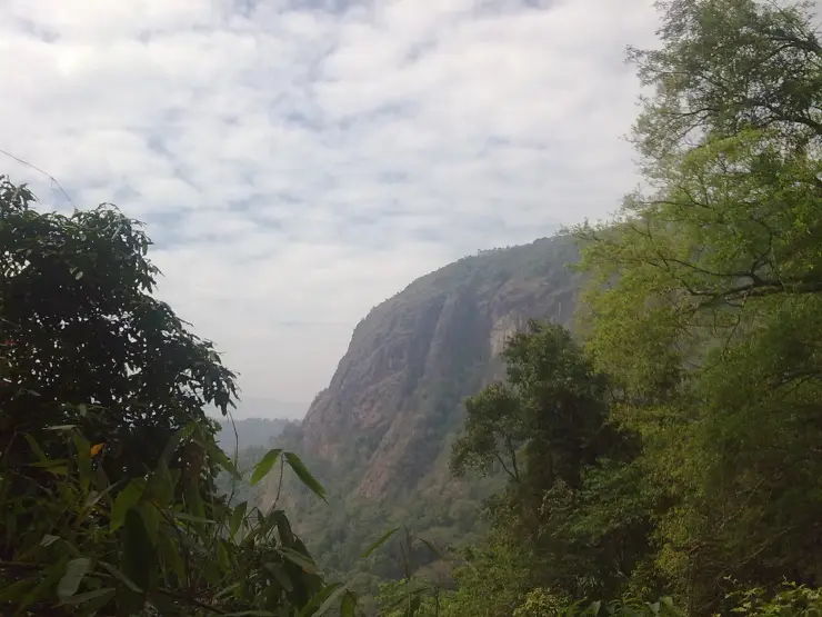
Route-level itineraries and practical guides for the rest of Kerala.


Photographs: Siyad saffan shah (CC BY-SA 4.0), Arunkumar003prpc (CC BY-SA 4.0), Shveta.js (CC BY-SA 4.0), Samadolfo (CC BY-SA 3.0), Ravi Dwivedi (CC BY-SA 4.0). Wikimedia Commons.