Highlights
- Ancient rock engravings and one of Wayanad's signature heritage sites.
- Short but steep hill approach with viewpoints over the Ambukuthi landscape.
- Useful anchor for verified guides, drivers, Sulthan Bathery stays and local food stops.
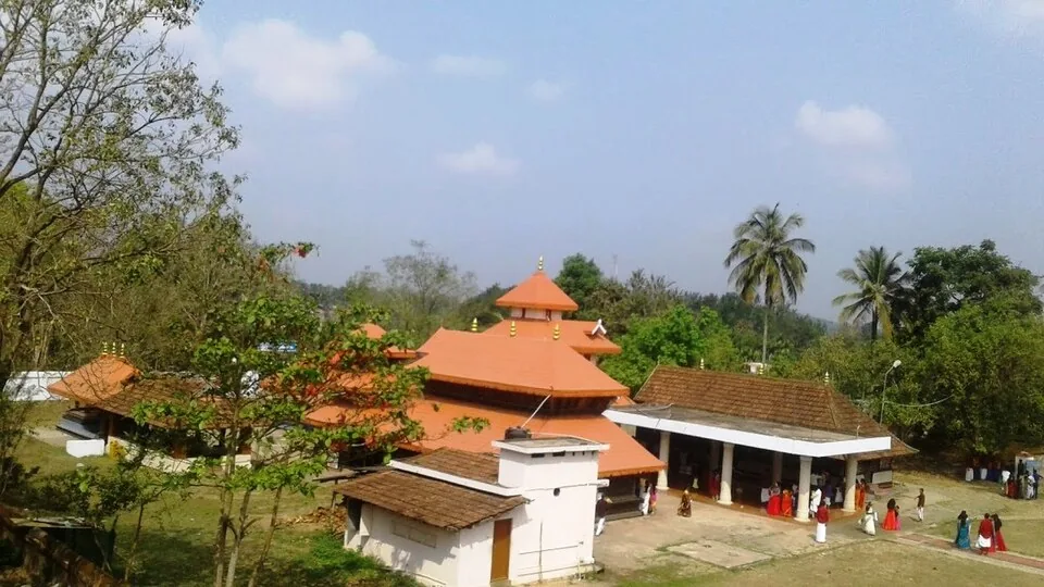
Edakkal Caves are rock shelters on Ambukuthi hill, best known for prehistoric petroglyphs and the steep climb that turns the visit into part heritage stop, part short hill walk. They are one of Wayanad's most important cultural landmarks.

Plan it as a timed, physical visit rather than a quick roadside attraction. The approach involves steps, slopes and queues in peak season, and access can be affected by rain, maintenance or crowd-control decisions.
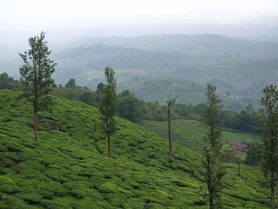
High on Ambukuthi Mala, above the tea and coffee country near Sulthan Bathery, a fallen boulder wedged between two rock faces has sealed a cleft where people scratched pictures into stone more than six thousand years ago. The Edakkal Caves are not really caves at all but a rift in the hill, and their weathered petroglyphs — human figures, animals, wheels, and symbols still argued over by scholars — make this one of the very few places in the world where you can stand inside the Stone Age and read messages left by hands that vanished before written history began.
The visit begins as a climb. From the base of Ambukuthi Mala, a steep track of roughly a kilometre and a half rises through boulder-strewn slopes and shade trees, part paved steps, part rough rock, with hand-railed stretches near the top. It is the kind of ascent that leaves you breathing hard and grateful for the tea stalls along the way, and it filters out the merely curious — everyone who reaches the cleft has earned it. As you gain height the plantations of Wayanad open below you, and the air cools with every switchback.
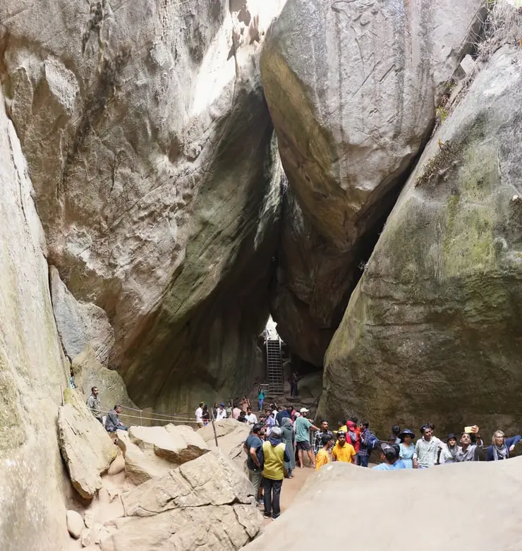
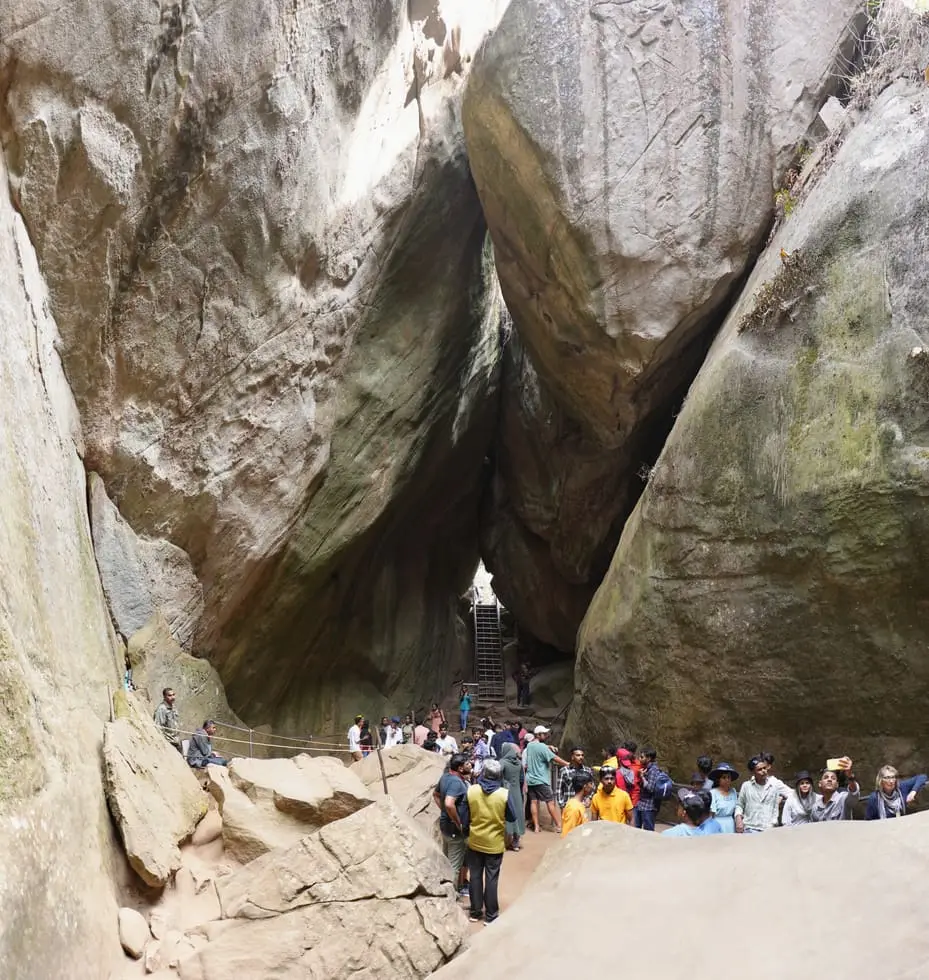
Near the summit the path squeezes into the thing itself. Edakkal is not a hollowed cavern but a cleft, a deep fissure where a slab of rock split away from the hillside, and a single enormous boulder — weighing several tons — dropped across the gap to form a natural roof. The Malayalam name captures it exactly: a stone lodged in between. You climb an iron stairway up through the lower chamber and emerge into the upper cleft, roofed by that suspended boulder, light slanting in from the open ends. It feels less like entering a room than slipping into a crack in the earth.
Then you see the walls. Across the rock faces, engraved rather than painted, are hundreds of figures: stick-limbed humans with elaborate headdresses, animals, wheels and spoked circles, tools, and geometric symbols whose meaning is lost. Some are crisp, some almost erased by six thousand monsoons. The carvings crowd together and overlap, older marks half-buried under newer ones, so that the wall reads like a palimpsest scratched by many generations who each found this cleft worth marking.
What lingers is the sense of deep time. These are among the oldest human engravings in South India, and standing before a 'man with jar cup' or a wheeled figure you are looking at the direct handiwork of Neolithic people — not a reconstruction, not a museum cast, but the actual stone they cut. There is no glass between you and them. The realisation that the same slanting light fell on someone doing this work eight thousand years ago tends to silence even chattering tour groups for a moment.
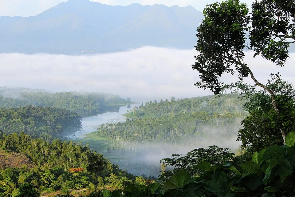
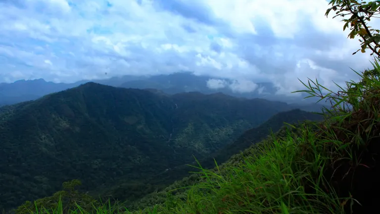
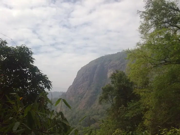
Step to the open lip of the cleft and the reward switches from ancient to vast. The hill falls away to a green sweep of Wayanad — plantations, forest, and distant blue ridges of the Western Ghats folding toward Mysuru. Ambukuthi sits near what was once a trade route linking the high country of Mysore to the ports of the Malabar Coast, and from up here you understand why: this is a natural lookout, a place that commanded the land long before it commanded the imagination of archaeologists.
Coming down, the caves rearrange themselves in your mind. What looked from the car park like a modest hilltop attraction turns out to be a rift you can walk into, a roof made by a single dropped boulder, and a gallery of the earliest art in the region — all reached on your own two feet. Few sites in Kerala fold together a hard, honest climb, a geological freak of nature, and genuine prehistory quite like this one.
Local legend gives the hill its name through an arrow. Ambukuthi is popularly read as 'the place the arrow struck' (from ambu, arrow), and folklore holds that the great cleft was opened by arrows loosed by Lava and Kusha, the twin sons of Lord Rama — the split rock supposedly marking where their shafts pierced the hillside. It is told as a story rather than history, but it is the tale the hills carry.
Another strand of local lore links the cleft to Kutti Chathan and the goddess sometimes named Mudiampilly, folk deities of the region, weaving the caves into the older devotional imagination of Wayanad's communities. Like the arrow legend, this belongs to living folklore, not to the archaeological record of the site.
The caves were brought to scholarly attention in 1890 by Fred Fawcett, a police official of the erstwhile Malabar administration, who recognised at once their anthropological and historical importance and wrote about them, drawing the notice of researchers. The site had of course long been known to local and tribal communities; Fawcett's account moved it from local knowledge into the world of formal study.
The engravings are petroglyphs — figures cut and pecked into the rock rather than painted on it — and they are of at least three distinct types laid down over a very long span. The drawings range from the Neolithic, as early as around 6,000 BC, down to roughly 1,000 BCE, and some scholars judge the oldest markings to be over 8,000 years old, placing Edakkal among the earliest human engravings yet found in South India.
The carvings show human and animal figures, tools, wheels, and a set of enigmatic symbols that remain undeciphered. Their layering matters: because newer engravings overlie older ones, the panels record not a single moment but successive waves of people using the same cleft across millennia, which is part of why the site is treated as a window onto continuous prehistoric habitation rather than a one-off shrine.
The most debated find came in September 2009, when historian M. R. Raghava Varier of the Kerala State Archaeology Department identified one motif as a 'man with jar cup' — a symbol strongly associated with the Indus Valley civilisation. Scholars including the eminent epigraphist Iravatham Mahadevan called it very significant and a major discovery, and the Edakkal version was argued to resemble the Indus motif even more closely than comparable signs known from Tamil Nadu and Karnataka, feeding theories of contact between the Harappan world and the far south. The link remains a scholarly hypothesis, not settled fact, and the symbols themselves are still not fully deciphered.
Edakkal is not only prehistoric. The site also preserves a much later inscription — a Prakrit Grantha record attributed to the Kadamba ruler Vishnuvarman of around the 5th–6th century CE — showing that the cleft continued to draw people, and rulers, long after its Stone Age artists were gone.
It is one of the very few places anywhere in India where you can walk inside a prehistoric rock shelter and stand face to face with Neolithic petroglyphs — the actual engraved stone, over 6,000 years old, with nothing between you and it.
The formation itself is a natural wonder: a deep cleft in the hill roofed by a single several-ton boulder wedged across the gap, so the 'cave' is really a rift you climb up into.
The climb up Ambukuthi Mala is a genuine short trek that rewards effort — an experience in its own right, not just a photo stop — and it keeps the site feeling earned rather than packaged.
The 'man with jar cup' motif and its debated Indus Valley connection give the site a live intellectual mystery: you are looking at symbols scholars are still arguing about.
From the upper cleft the views open across the plantations, forests and distant ridges of Wayanad and the Western Ghats — a sweeping panorama over an ancient hill-to-coast trade corridor.
It pairs naturally with the rest of a Wayanad itinerary from Sulthan Bathery, combining prehistory, a hill walk, and scenery in a single half-day outing.
Road km to Wayanad; ghat roads and traffic vary — allow extra.
October to March is most comfortable. Avoid heavy rain because the approach can become slippery.
Live forecast loads in your browser.
Check the official alert before you travel. Kerala’s beaches, waterfalls and trekking routes close at short notice during heavy rain, and district alert levels change day to day. We do not publish an alert level of our own — read it from the state authority: Kerala State Disaster Management Authority, or the district control room on 1077.
Sun and moon are calculated for this location and shown in IST. Photography windows are the hour around sunrise and sunset; the sunset bearing is degrees clockwise from true north. Moon phase is accurate to about half a day.
These are official or public-sector eco offerings that match this place, town or forest destination. Confirm availability, permits, tariffs and reporting times with the official operator before travel.
Two-hour forest-department jeep safari in the Muthanga tourist zone, with morning and evening slots and separate jeep hire.
Official source →Forest Wood House / Serambi accommodation at Muthanga for small groups, listed on the official ecotourism programme page.
Official source →
Large forest-department dormitory accommodation at Muthanga, useful for budget wildlife travellers and groups.
Official source →Verified hotels, homestays, restaurants, experiences, sights, shops and rentals around Edakkal Caves — commission-free, with direct contact. Filter by what you need.

The multi-cuisine restaurant of the Le Sapphire hotel — a sourced town-centre meal stop between the bus stands and the Mysuru road.

Main-road restaurant and cafe stop in the middle of Sulthan Bathery — a practical meal between the Edakkal, Jain temple and Muthanga legs.

Sulthan Bathery restaurant with direct take-away and reservation contact — a dependable town food stop on the Edakkal and Muthanga circuit.
Long-running Main Road eatery serving Malabar biryanis and curries since 1996. It is billed as Kerala's first Halal-certified restaurant.
Multi-cuisine family restaurant at Chungam in Sulthan Bathery town. Part of a three-star hotel, it plates local specialities alongside international dishes.
Longstanding bakery at Chungam known for cakes, pastries and Malabar snacks. It has served Sulthan Bathery town since 2008.
Book with the place itself. India’s cyber-crime coordination centre warned in April 2025 that convincing copies of hotel and pilgrimage booking sites are being pushed through sponsored search and social ads, taking payment for rooms the property never hears about. Every listing here links to the business’s own contact details and its own Google or Bing profile — we take no commission and sit in nobody’s payment path. If a booking page reached you through an ad, check the address bar against the property’s own site before you pay. Fraud can be reported on cybercrime.gov.in or on 1930.
Find food, accommodation and activities across Sulthan Bathery. Browse the guides for places to eat, stay and explore along your route.
8 more places around Sulthan Bathery. Open a guide to plan the visit and onward journey.

15.7 km · ~26 min by cab
Kerala’s second-largest sanctuary, 344 square kilometres of teak and bamboo joining Bandipur, Nagarhole and Mudumalai — from the Bathery side you enter at the Muthanga gate, 14 km east. Notified in 1973, elephant country to the road’s edge, and the reason the highway closes at night.

The southern gate of Wayanad Wildlife Sanctuary, 14 km east on the Mysuru highway — the eco-tourism counter at the entrance runs a morning and an afternoon safari session, and the counter opens well before the drive. Elephants, gaur and deer are the honest expectation; the tiger is luck.

13.1 km · ~22 min by cab
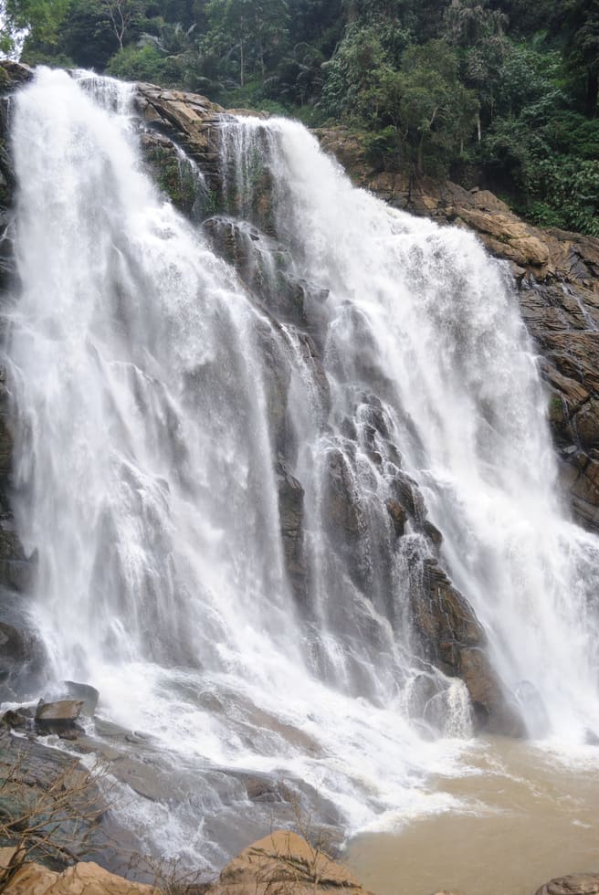
The permission-first waterfall: the forest office on the Pulpally road, 12.5 km from town, issues the mandatory pass, and the falls are a four-kilometre forest walk beyond it. Seasonal to the point of vanishing in the dry months — the birding along the trek is the reliable half of the outing.

2.6 km · ~6 min by auto
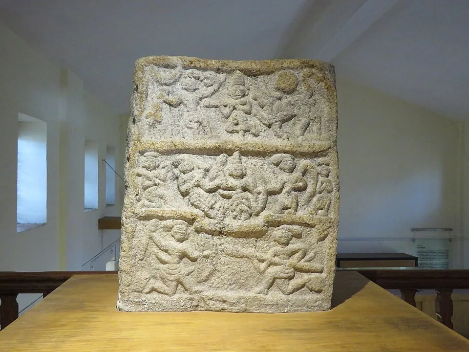
Four small galleries at Ambalavayal, 11 km south, holding what east Wayanad’s fields keep turning up — hero stones carved for men who died fighting battles and beasts, megalithic burial finds, Adivasi working kit. The natural second stop on an Edakkal day.

The Anantnath Swami temple at Puliyarmala near Kalpetta — the quieter, living Jain shrine of Wayanad, often paired with the conserved basti at Sulthan Bathery.

3.9 km · ~10 min by auto
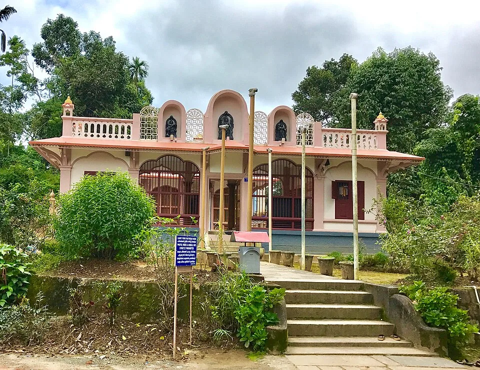
The thirteenth-century granite basti at Kidanganad that gave the town its name — a shrine, then a trade depot, then Tipu Sultan’s ammunition store, the Sultan’s battery. ASI-protected, deliberately empty of image and festival, and the one sight in Bathery you can walk to, 1.4 km from the centre.

The anchor of Wayanad’s Ramayana country at Pulpally, 26 km north-east — local tradition places Sita’s forest exile and her twin sons Lava and Kusha here, and the temple carries the story. A half-day extension into the quiet north-east rather than a quick stop.

3.1 km · ~8 min by auto
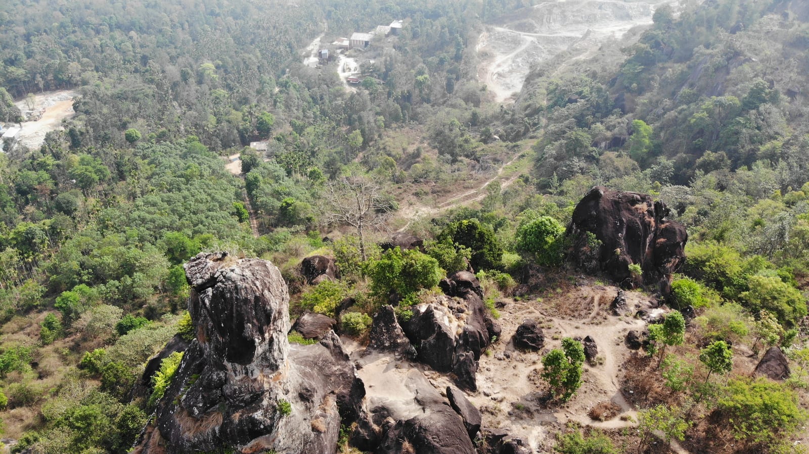
The skull-shaped tor the locals call Cheengeri Mala, nine kilometres out toward Ambalavayal — a short walk from the road, a quiet half-hour, and the natural filler between the town, the museum and Edakkal on a caves day.
Roampedia is commission-free — own or know a stay, eatery, guide or shop near Edakkal Caves? List it and it appears here once verified.
Add a nearby businessEntry: A small entry ticket, with reduced rates for children, plus a separate camera fee.
Photography: A camera fee is likely charged separately. Remember it is a moderately steep climb with steps and fixed ladders, so carry gear that is easy to manage on the ascent.
If you are travelling by bus or ferry, check the return service with the operator before setting out. Leave time to reach the stop or jetty after your visit.
Ask at the bus stand for the time of the last service back, not the next one. If you miss it, an auto or app cab is the fallback — agree the fare before you get in.
Checked 4 August 2026 against source 1source 2. Conditions change and surfaces vary with weather — if step-free access is essential, confirm with the site before you travel.
These services are listed within about 1.2 km of Edakkal Caves. Walking distances follow mapped routes; access and opening hours can change. Other services may be closer but are not included here.
Emergency numbers are verified against official government and state tourism sources. 112 works anywhere in India.

Ambalavayal museum focused on Wayanad archaeology, tribal history and heritage artefacts.
2.6 km · ~6 min by auto · straight line
A natural rock formation near Ambalavayal that resembles a human skull, locally called Cheengeri Mala, reached by a short walk and popular as an eastern-Wayanad viewpoint stop.
3.1 km · ~8 min by auto · straight line
Sulthan Bathery Jain temple with old stone architecture and east-Wayanad heritage context.
3.9 km · ~10 min by auto · straight line
Reservoir and garden-side attraction near the Ambalavayal/Kalpetta side of Wayanad.
7.0 km · ~18 min by auto · straight line
The closed Meppadi–Vaduvanchal waterfall, also listed as Meenmutty Falls trek. The map marks Vaduvanchal bus stand for town orientation, not an open waterfall entrance. Banasura Meenmutty is a different site.
8.3 km · ~14 min by cab · straight line
The closed forest approach to Meenmutty Falls near Vaduvanchal on the Meppadi–Gudalur side of Wayanad. This is not Banasura Meenmutty near Padinjarathara; use this guide for identity and access context, not a bookable trek.
8.3 km · ~14 min by cab · straight line
A weather-dependent sunrise viewpoint name in the Vaduvanchal circuit. The map marks Vaduvanchal as the honest reporting base because no authoritative exact public gate is documented; it is not presented as an alias for Neelimala.
8.5 km · ~14 min by cab · straight line
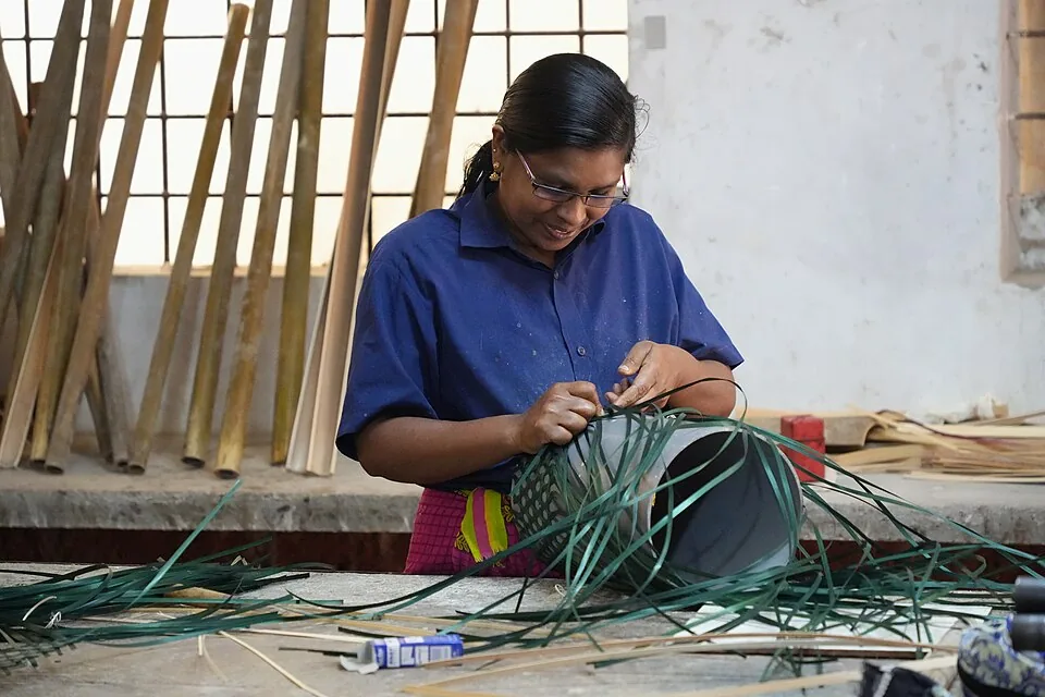
Thrikkaipatta bamboo craft and responsible-tourism village experience, useful from the Vythiri/Lakkidi side.
10.9 km · ~18 min by cab · straight line
A working tea-estate landscape rather than a single ticketed attraction. The map marks Rippon 52 village as the honest visitor base; any private walk or factory visit needs its own confirmed property address.
12.3 km · ~21 min by cab · straight line
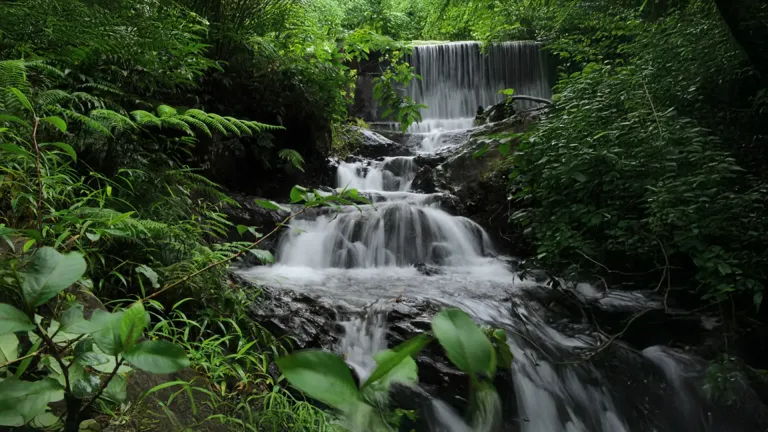
Seasonal waterfall near Sulthan Bathery, best treated as a quiet nature stop with access checked before travel.
13.1 km · ~22 min by cab · straight line
Popular waterfall reached by a short forest walk, access varies by season.
15.2 km · ~25 min by cab · straight line
Forest reserve around Muthanga and Tholpetty, part of the Nilgiri Biosphere landscape.
15.7 km · ~26 min by cab · straight lineNearby toilets, pharmacies, ATMs, seating and vets are community-mapped and may be incomplete or out of date. Map data © OpenStreetMap contributors | Walking times © openrouteservice.org by HeiGIT
Not in the usual sense. Edakkal is a cleft or rift in the rock — a deep fissure where a slab split away from the hillside — with a single large boulder, weighing several tons, dropped across the gap to form a natural roof. The Malayalam name itself means 'a stone in between'.
The petroglyphs span a very long period, from the Neolithic as early as around 6,000 BC down to roughly 1,000 BCE, and some of the oldest markings are judged to be over 8,000 years old — among the earliest human engravings known in South India.
Yes. From the base of Ambukuthi Mala it is a steep trek of roughly 1 to 1.5 km, part steps and part rough rock, that takes most visitors around 30–45 minutes uphill. Wear proper shoes and carry water; there are tea stalls along the way. It is not suitable for those unable to manage a strenuous climb.
In 2009 historian Raghava Varier identified a 'man with jar cup' engraving — a motif closely associated with the Indus Valley civilisation. Some scholars consider it evidence of far-reaching cultural contact, but it remains a debated hypothesis rather than settled fact, and many of the symbols are still undeciphered.
The site is typically open in daytime hours (commonly around 9:00 am to 4:00–5:00 pm) and usually closed on Mondays, with a modest entry ticket and separate camera/parking charges. Timings, closures and fees change, so confirm locally before you go.
Allow roughly 2 to 3 hours in total — the uphill trek each way plus time inside the cleft to see the carvings and take in the views. Going early helps you avoid both the midday heat on the climb and the busiest crowds.
October to March is most comfortable. Avoid heavy rain because the approach can become slippery.
Entry: A small entry ticket, with reduced rates for children, plus a separate camera fee. Timings: Typically open around 9am to 4pm, usually closed one weekday (often Monday) and public holidays (the site has been closed at times since the Wayanad landslides).
Base in Sulthan Bathery, Kalpetta or Meppadi and start early to avoid heat and queues. Check ticket timing and closure status before leaving, especially during heavy rain. Pair with nearby Jain Temple, Phantom Rock or Muthanga side trips if you have a full day.
2 to 3 hours, more during holiday queues.
Nearby you can pair Wayanad Heritage Museum (2.6 km), Phantom Rock (3.1 km), Jain Temple (3.9 km), Karapuzha Dam (7.0 km).
Do not rush the descent on wet steps. Keep children close on uneven sections. Respect barriers protecting the engravings.
Written about Edakkal Caves itself — its history, its legends and the arguments about them.
These guides explore Sulthan Bathery and the surrounding area. Choose a visit that fits your interests, allowing separately for travel between stops.
Route-level itineraries and practical guides for the rest of Kerala.
Photographs: Ingo Mehling (CC BY-SA 4.0), Kerala Tourism Ecotourism (Official tourism image). Wikimedia Commons.