What to expect
Highlights
- Viewpoint stop at Phantom Rock
- Photography and landscape views
- Good add-on to nearby town or hill routes
A natural rock formation near Ambalavayal that resembles a human skull, locally called Cheengeri Mala, reached by a short walk and popular as an eastern-Wayanad viewpoint stop.
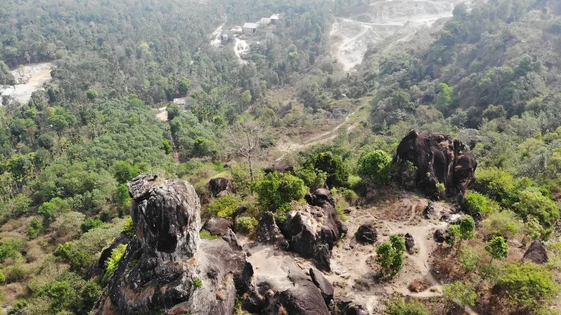
Weathered over untold millennia into the likeness of a giant human skull, Phantom Rock — locally Thalappara or Cheengeri Mala — crowns a breezy hill near Ambalavayal in eastern Wayanad, drawing trekkers, photographers and the plain curious to one of Kerala's strangest natural sculptures.
Some rocks are simply rocks; Phantom Rock is a face. Stand at the right angle on the grassy shoulder of Cheengeri Mala and the granite outcrop resolves, unmistakably, into a hollow-eyed skull staring out over the Wayanad plateau. It is this eerie, almost theatrical resemblance that earned the formation its English nickname — a nod to the masked comic-book hero 'the Phantom', whose own legend is bound up with a Skull Cave. To Malayali locals it has long been Thalappara or Thalakkallu, the 'head rock', and to the wider hills it is Cheengeri Mala, after the hill it sits upon.
The approach is half the pleasure. Phantom Rock lies just a couple of kilometres from the small town of Ambalavayal, reached by tidy plantation roads that thread through coffee, pepper and areca before the tar runs out. The last stretch — roughly the final five hundred metres — is covered on foot, up a narrow lane and grassy path that climbs gently onto the ridge. It is an easy, rewarding walk rather than a hard slog, which is precisely why families, casual walkers and serious trekkers all find their way here.
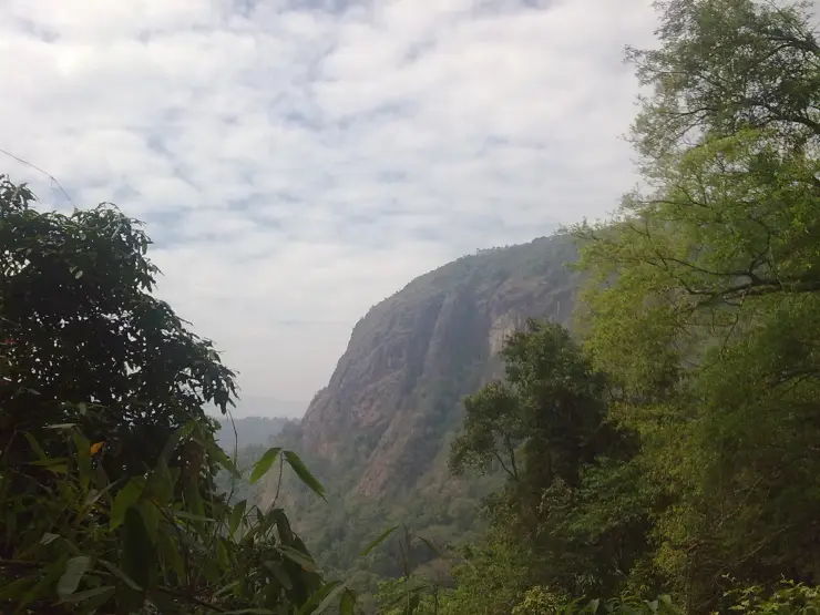
At the top the reward is space and silence. The rock stands at around 2,600 feet above sea level, and from beside the skull the land falls away in every direction: tea and coffee estates stitched across the slopes, tribal hamlets tucked into the folds, and a horizon of blue-green hill ranges — Ambukuthimala, Manikunnu, Kolagappara, Arattupara — fading into haze. On clear mornings the glint of the Karapuzha Dam catchment shows to the south.
The formation has become something of a set-piece for adventurous visitors, who scramble carefully onto the crown of the skull for that vertiginous 'standing on the Phantom's face' photograph. It is not a technical climb, but the exposed granite can be slick, and a cool wind almost always combs the ridge. Sunrise and late-afternoon light are when the rock is at its most dramatic, the low sun deepening the hollows that read as eye-sockets.
Because the surrounding land is working plantation and estate country rather than a fenced-off monument, Phantom Rock still feels refreshingly offbeat — there are no ticket queues at the rock itself, no crowds jostling for the viewpoint, just the hill, the wind and that extraordinary weathered face. Nearby, the Cheengeri hills have been developed by the District Tourism Promotion Council into a small adventure-tourism zone, adding a longer ridge trek and rope-assisted scrambles for those who want more than the short walk to the rock.
For most travellers Phantom Rock is a half-morning or late-afternoon detour rather than a full day, easily paired with the famous Edakkal Caves, the Ambalavayal Heritage Museum or the Karapuzha Dam, all within a short drive. But it is the kind of place that lingers — an accident of geology so precise in its resemblance that it feels, briefly, deliberate.
Geologically, Phantom Rock is a hard, ancient outcrop of the Precambrian crystalline basement that underlies the Wayanad plateau — described variously as a metamorphic and granitic rock formation. It was never carved or placed by human hands; its skull-like silhouette is the work of deep time and weathering alone.
The shape is a textbook, if uncommonly vivid, example of differential erosion. Over many thousands of years wind, rain and the daily heating and cooling of the exposed stone have prised apart the rock along its joints and weaker mineral bands, rounding some surfaces and hollowing others. The two great cavities that read as eye-sockets, and the domed 'cranium' above them, are simply where softer or more fractured rock has weathered away faster than the resistant granite around it — a process geologists call spheroidal and cavernous weathering.
Sitting on a breezy, well-drained ridge at around 2,600 feet, the rock has been especially exposed to these forces. Wayanad's pronounced wet-and-dry monsoon cycle — heavy south-west monsoon rains followed by long dry spells — accelerates the flaking and granular disintegration of the surface, which is why the formation is often called a natural sculpture that is still, imperceptibly, being carved.
The Ambalavayal area around the rock is one of the most historically layered corners of Wayanad. Just down the road, the Edakkal Caves preserve Neolithic petroglyphs thousands of years old, and the district as a whole was a frontier of tribal settlement, spice cultivation and, later, colonial-era plantation development. Phantom Rock itself has no recorded ancient monument status, but it stands amid this deep human landscape of estates and Adivasi hamlets.
The formation is not without threat. Conservationists and reporting have flagged unregulated granite quarrying in the vicinity as a danger to the fragile outcrop — a reminder that a rock which took millennia to shape could be damaged in a fraction of that time. The surrounding forest patches still shelter medicinal plants used by local communities and birds such as the Malabar Grey Hornbill and White-bellied Treepie.
The skull itself: a genuinely uncanny, naturally weathered rock face that looks so much like a human skull it has to be seen to be believed — one of the most photographed natural oddities in Wayanad.
Panoramic Wayanad views: from the ridge you get a sweeping 360-degree outlook over coffee and tea estates, tribal villages and a wall of blue hill ranges, with the Karapuzha catchment glinting in the distance.
An easy, family-friendly trek: unlike Wayanad's tougher summits such as Chembra Peak, the walk to Phantom Rock is short and gently sloping, so casual walkers and children can reach the top and still feel they have 'climbed' something.
That hero photograph: carefully standing on the crown of the skull for a shot over the valley is a rite of passage here — dramatic, offbeat and unlike anything at Wayanad's more conventional viewpoints.
Sunrise and sunset drama: low-angle light pools in the rock's hollows and sets the surrounding hills glowing, making the early-morning and late-afternoon visits especially rewarding.
Offbeat and uncrowded: with no big ticket gate at the rock itself and a location off the main tourist circuit, it retains a quiet, exploratory feel, and pairs neatly with the nearby Edakkal Caves and Ambalavayal Heritage Museum.
Road km to Wayanad; ghat roads and traffic vary — allow extra.
Clear post-monsoon and winter days are best; mist can block views in hill areas.
Live forecast loads in your browser.
Check the official alert before you travel. Kerala’s beaches, waterfalls and trekking routes close at short notice during heavy rain, and district alert levels change day to day. We do not publish an alert level of our own — read it from the state authority: Kerala State Disaster Management Authority, or the district control room on 1077.
Sun and moon are calculated for this location and shown in IST. Photography windows are the hour around sunrise and sunset; the sunset bearing is degrees clockwise from true north. Moon phase is accurate to about half a day.
These are official or public-sector eco offerings that match this place, town or forest destination. Confirm availability, permits, tariffs and reporting times with the official operator before travel.
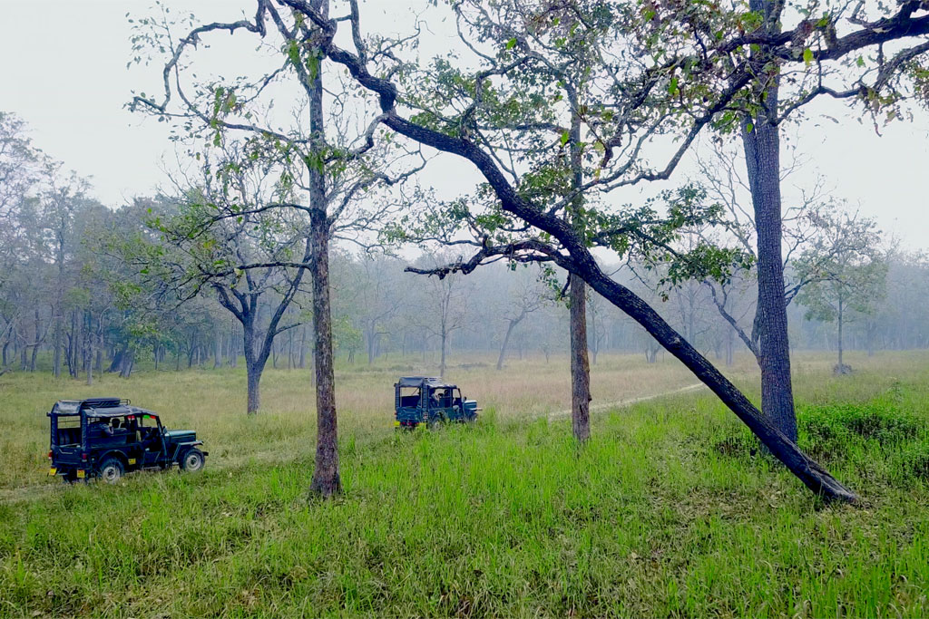
Two-hour forest-department jeep safari in the Muthanga tourist zone, with morning and evening slots and separate jeep hire.
Official source →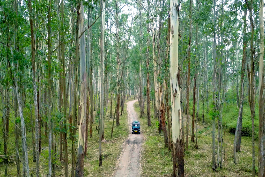
Forest Wood House / Serambi accommodation at Muthanga for small groups, listed on the official ecotourism programme page.
Official source →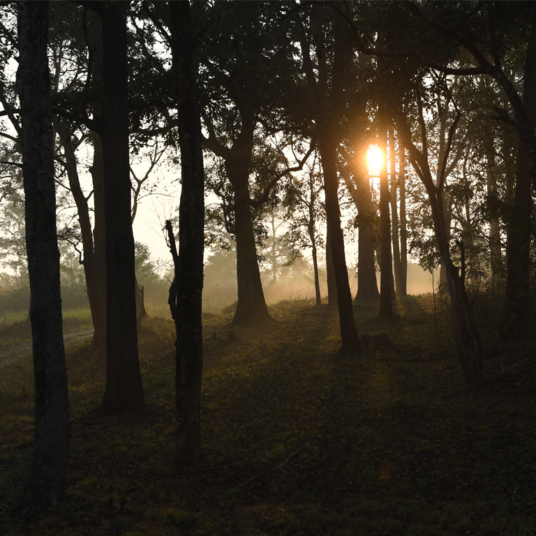
Large forest-department dormitory accommodation at Muthanga, useful for budget wildlife travellers and groups.
Official source →Verified hotels, homestays, restaurants, experiences, sights, shops and rentals around Phantom Rock — commission-free, with direct contact. Filter by what you need.

Kerala Tourism-accredited tent-camping operator near Santhinagar Colony at Kottakunnu — the town’s camping option for east-Wayanad trips, booked direct.
Wayanad Wildlife Sanctuary covers the Muthanga and Tholpetty tourism zones, with official contacts for safari, accommodation and forest-control-room checks. Wayanad Wildlife Sanctuary, Muthanga, Tholpetty.

Heritage site in Sulthan Bathery. Edakkal Caves, Sulthan Bathery, Heritage.
The official KSRTC station, 1.5 km up the Kozhikode road from the centre — the long-distance end of the town’s three bus stands, working Kalpetta, Mananthavady, Kozhikode and the Mysuru side.
Book with the place itself. India’s cyber-crime coordination centre warned in April 2025 that convincing copies of hotel and pilgrimage booking sites are being pushed through sponsored search and social ads, taking payment for rooms the property never hears about. Every listing here links to the business’s own contact details and its own Google or Bing profile — we take no commission and sit in nobody’s payment path. If a booking page reached you through an ad, check the address bar against the property’s own site before you pay. Fraud can be reported on cybercrime.gov.in or on 1930.
Find food, accommodation and activities across Sulthan Bathery. Browse the guides for places to eat, stay and explore along your route.
8 more places around Sulthan Bathery. Open a guide to plan the visit and onward journey.
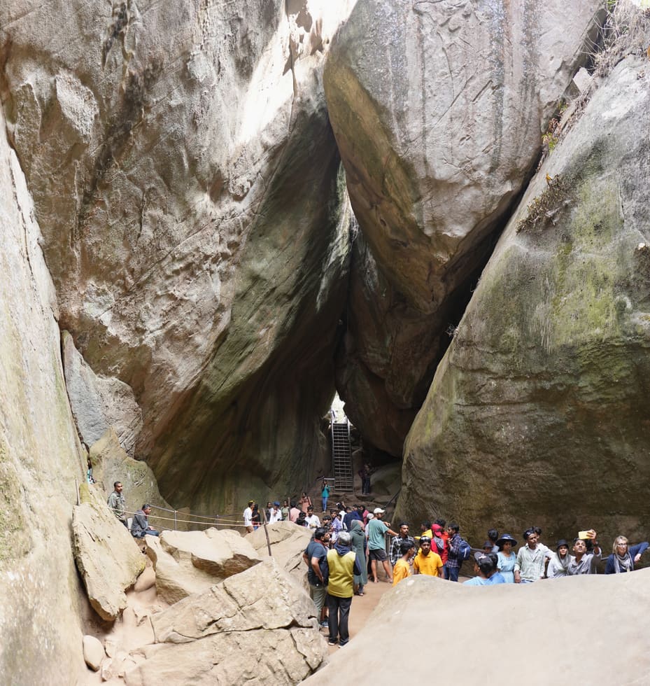
3.1 km · ~8 min by auto
Not a cave but a cleft — a boulder wedged over a rift high on Ambukuthi, its walls scratched with petroglyphs that scholars have argued over since the 1890s. Park at the road head 12 km from town, buy the ticket and climb early: the site caps its crowds and the queue builds by mid-morning.
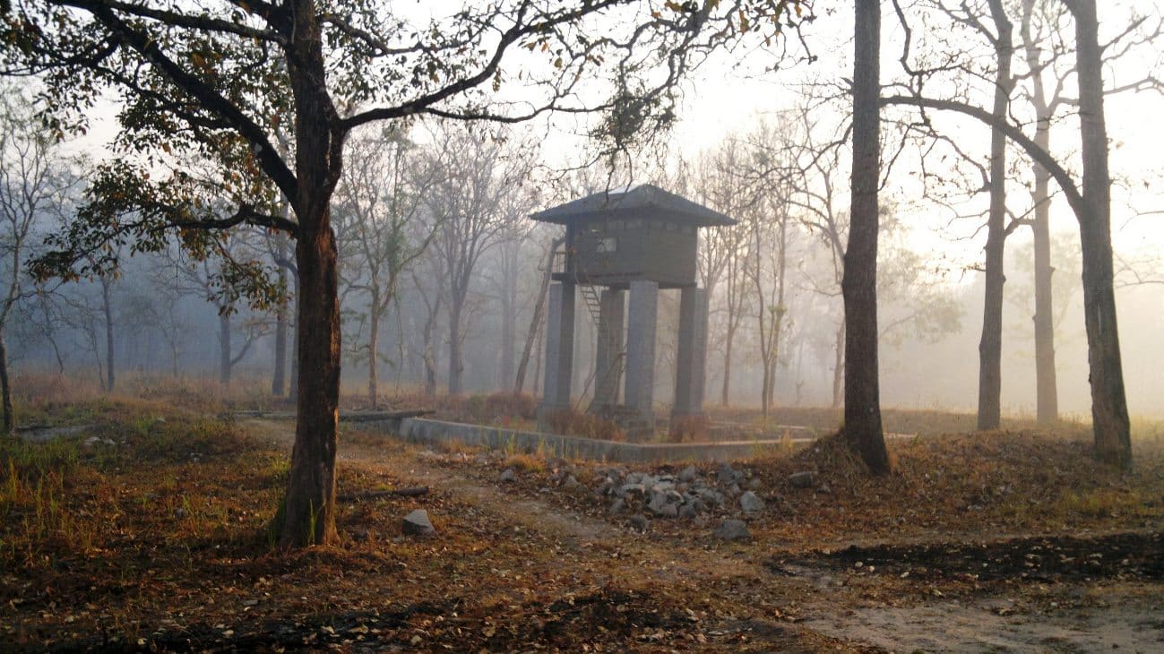
Kerala’s second-largest sanctuary, 344 square kilometres of teak and bamboo joining Bandipur, Nagarhole and Mudumalai — from the Bathery side you enter at the Muthanga gate, 14 km east. Notified in 1973, elephant country to the road’s edge, and the reason the highway closes at night.
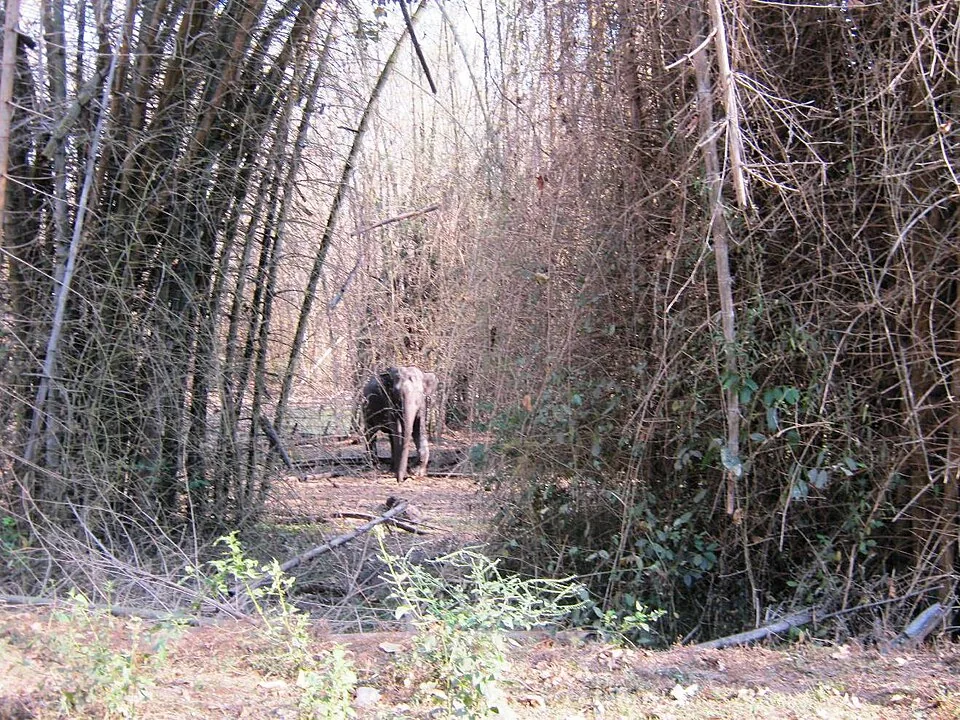
The southern gate of Wayanad Wildlife Sanctuary, 14 km east on the Mysuru highway — the eco-tourism counter at the entrance runs a morning and an afternoon safari session, and the counter opens well before the drive. Elephants, gaur and deer are the honest expectation; the tiger is luck.
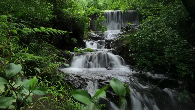
12.9 km · ~22 min by cab
The permission-first waterfall: the forest office on the Pulpally road, 12.5 km from town, issues the mandatory pass, and the falls are a four-kilometre forest walk beyond it. Seasonal to the point of vanishing in the dry months — the birding along the trek is the reliable half of the outing.
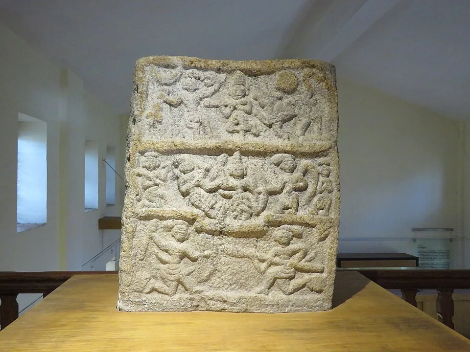
2.2 km · 27 min walk
Four small galleries at Ambalavayal, 11 km south, holding what east Wayanad’s fields keep turning up — hero stones carved for men who died fighting battles and beasts, megalithic burial finds, Adivasi working kit. The natural second stop on an Edakkal day.
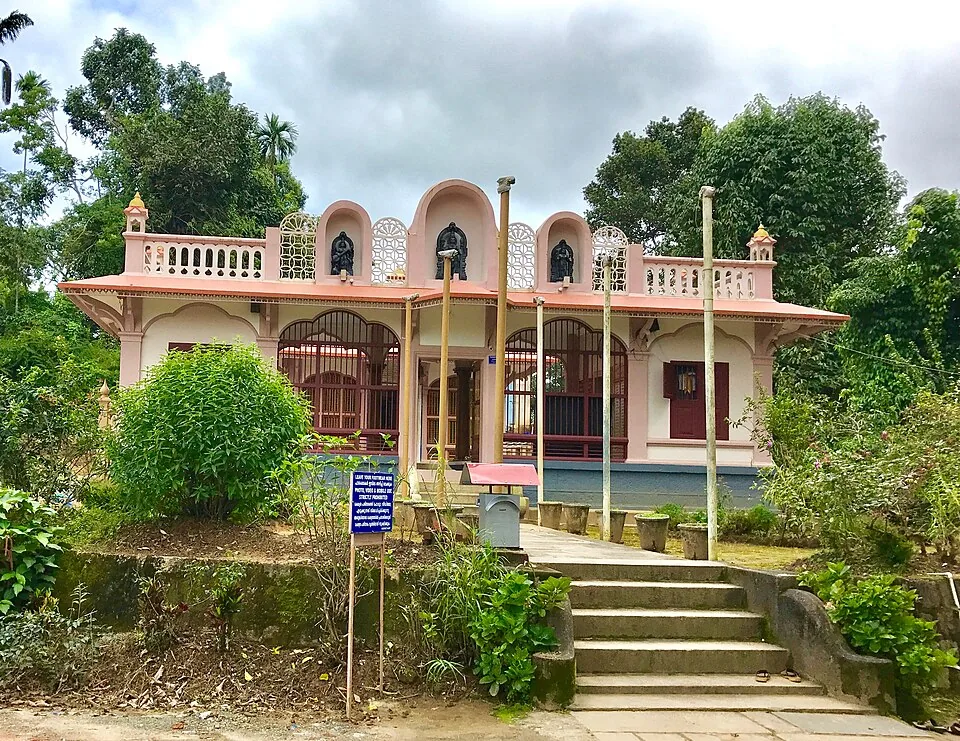
12.7 km · ~21 min by cab
The Anantnath Swami temple at Puliyarmala near Kalpetta — the quieter, living Jain shrine of Wayanad, often paired with the conserved basti at Sulthan Bathery.
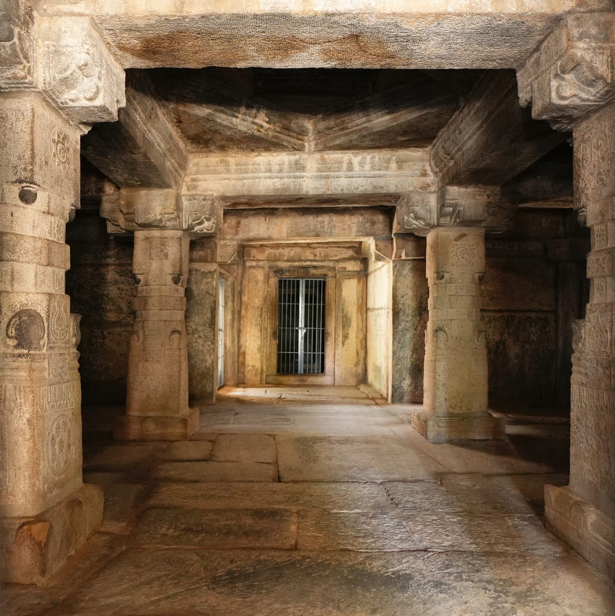
5.8 km · ~14 min by auto
The thirteenth-century granite basti at Kidanganad that gave the town its name — a shrine, then a trade depot, then Tipu Sultan’s ammunition store, the Sultan’s battery. ASI-protected, deliberately empty of image and festival, and the one sight in Bathery you can walk to, 1.4 km from the centre.
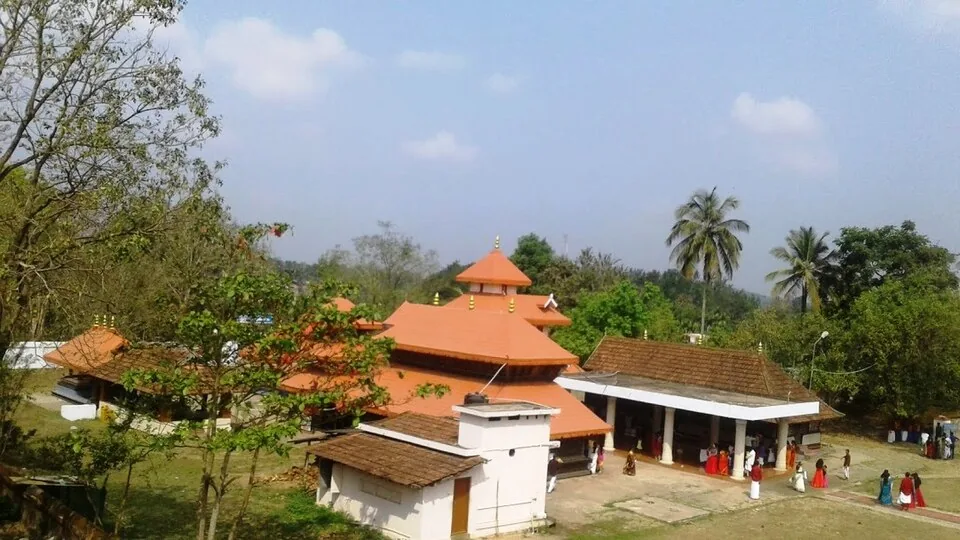
The anchor of Wayanad’s Ramayana country at Pulpally, 26 km north-east — local tradition places Sita’s forest exile and her twin sons Lava and Kusha here, and the temple carries the story. A half-day extension into the quiet north-east rather than a quick stop.
Roampedia is commission-free — own or know a stay, eatery, guide or shop near Phantom Rock? List it and it appears here once verified.
Add a nearby businessEntry: The rock and viewpoint are frequently described as free; the DTPC-run Cheengeri adventure-trekking section typically charges a small fee, commonly cited around Rs 50 per adult. A far higher figure quoted on some sites appears to be an outlier.
Dress code: No formal dress code. Wear sturdy shoes or trainers with grip for the granite, light breathable clothing, a hat and sunscreen, and carry water and a light layer as the ridge is breezy.
Festivals: No festival is specific to Phantom Rock itself. The wider Wayanad calendar can be enjoyed alongside a visit, but there is no temple or ritual observance at the rock.
Photography: Photography is the main draw and freely enjoyed; the skull formation and the panorama of hill ranges are the standout shots, best in early-morning or late-afternoon light. Take care near the exposed crown of the rock when composing pictures.
If you are travelling by bus or ferry, check the return service with the operator before setting out. Leave time to reach the stop or jetty after your visit.
Ask at the bus stand for the time of the last service back, not the next one. If you miss it, an auto or app cab is the fallback — agree the fare before you get in.
If you need step-free access, contact the site before travelling. Ask about a level entrance, steps along the route, the nearest drop-off point, seating and accessible toilets.
Emergency numbers are verified against official government and state tourism sources. 112 works anywhere in India.
Ambalavayal museum focused on Wayanad archaeology, tribal history and heritage artefacts.
2.2 km · 27 min walk · straight lineRock shelter with ancient petroglyphs and a steep Ambukuthi hill walk, best planned from Sulthan Bathery or Ambalavayal.
3.1 km · ~8 min by auto · straight line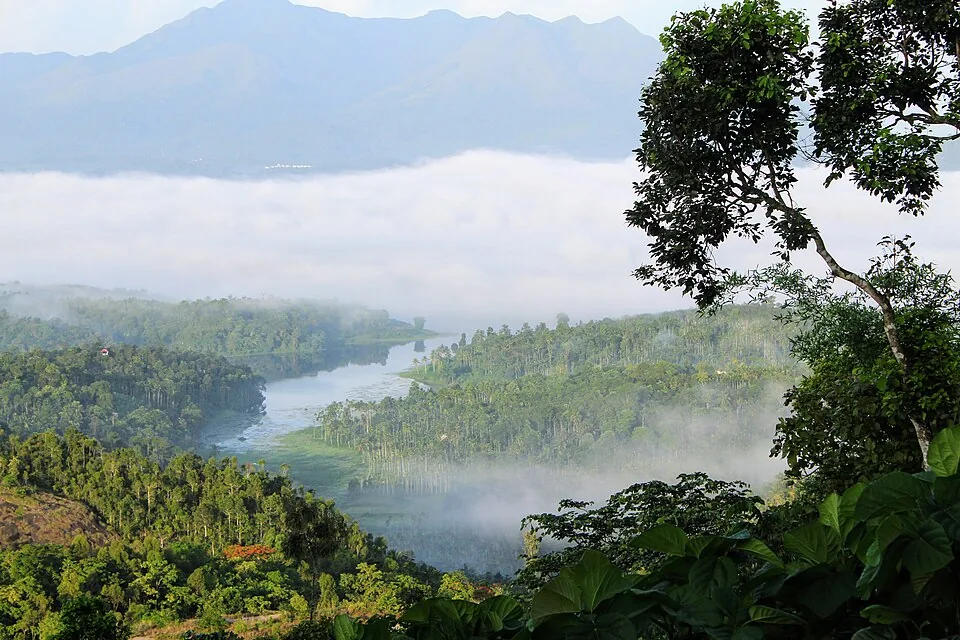
Reservoir and garden-side attraction near the Ambalavayal/Kalpetta side of Wayanad.
4.4 km · ~11 min by auto · straight lineSulthan Bathery Jain temple with old stone architecture and east-Wayanad heritage context.
5.8 km · ~14 min by auto · straight line
Thrikkaipatta bamboo craft and responsible-tourism village experience, useful from the Vythiri/Lakkidi side.
8.2 km · ~14 min by cab · straight line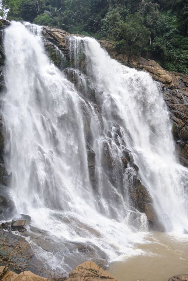
The closed Meppadi–Vaduvanchal waterfall, also listed as Meenmutty Falls trek. The map marks Vaduvanchal bus stand for town orientation, not an open waterfall entrance. Banasura Meenmutty is a different site.
9.2 km · ~15 min by cab · straight line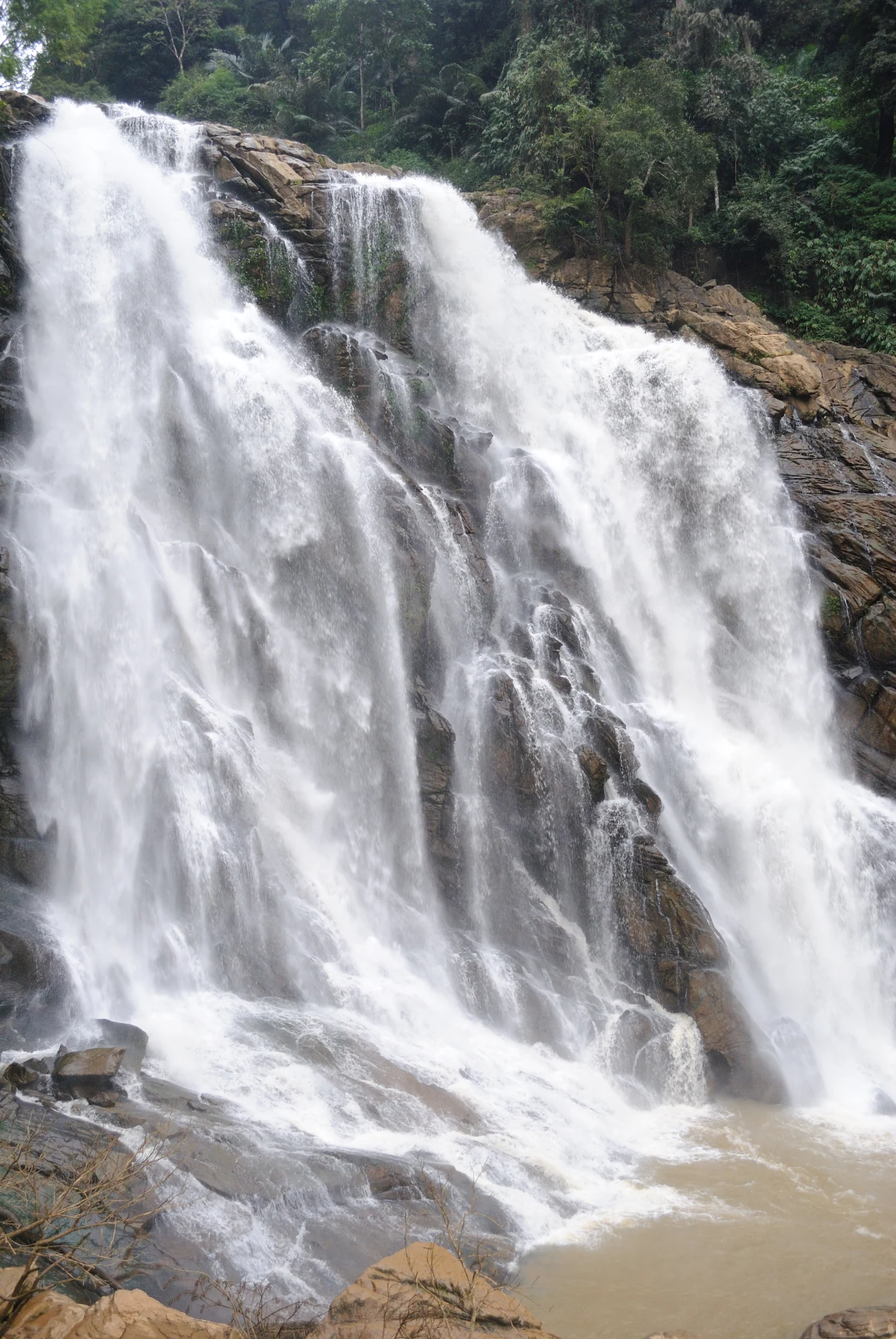
The closed forest approach to Meenmutty Falls near Vaduvanchal on the Meppadi–Gudalur side of Wayanad. This is not Banasura Meenmutty near Padinjarathara; use this guide for identity and access context, not a bookable trek.
9.2 km · ~15 min by cab · straight line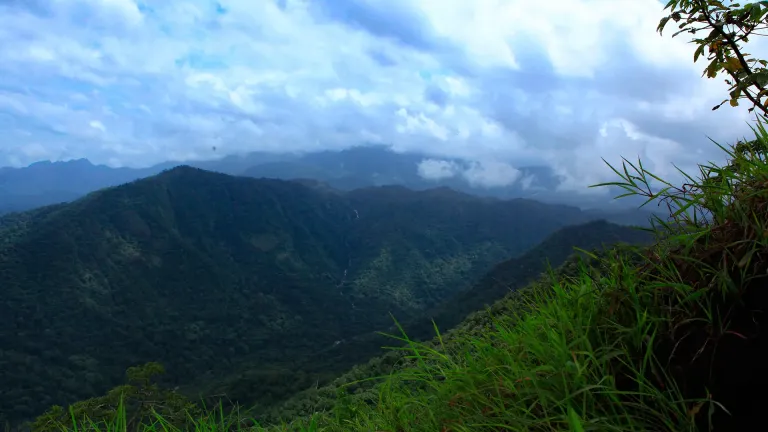
A weather-dependent sunrise viewpoint name in the Vaduvanchal circuit. The map marks Vaduvanchal as the honest reporting base because no authoritative exact public gate is documented; it is not presented as an alias for Neelimala.
9.4 km · ~16 min by cab · straight line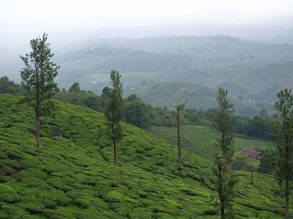
A working tea-estate landscape rather than a single ticketed attraction. The map marks Rippon 52 village as the honest visitor base; any private walk or factory visit needs its own confirmed property address.
11.6 km · ~19 min by cab · straight lineThe Anantnath Swami temple at Puliyarmala near Kalpetta — the quieter, living Jain shrine of Wayanad, often paired with the conserved basti at Sulthan Bathery.
12.7 km · ~21 min by cab · straight lineSeasonal waterfall near Sulthan Bathery, best treated as a quiet nature stop with access checked before travel.
12.9 km · ~22 min by cab · straight line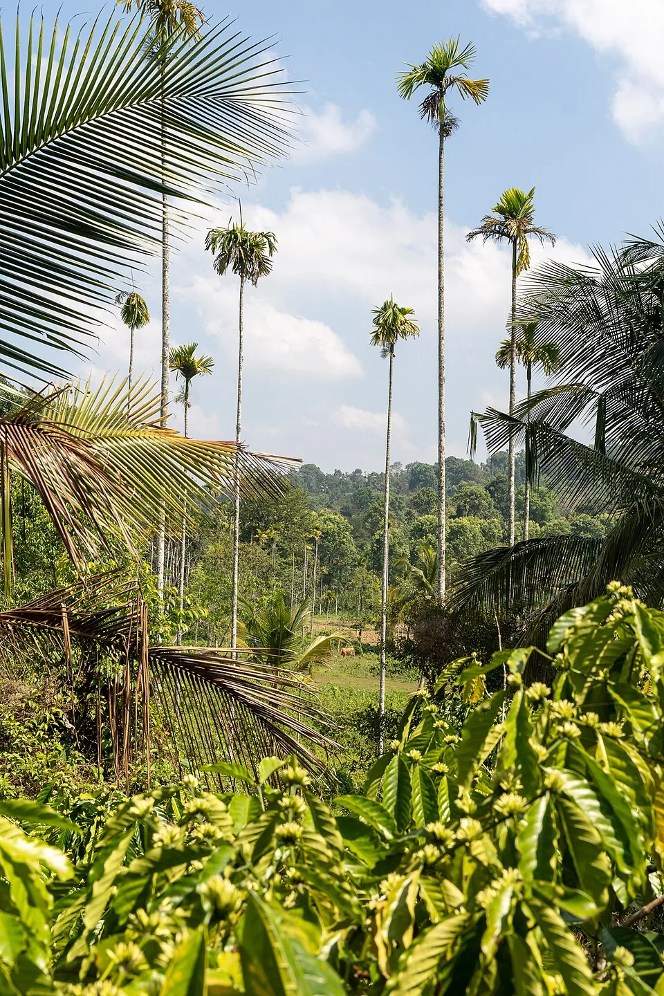
A distributed, working coffee landscape rather than one ticketed attraction: arrange an estate walk with a host, farm or accredited operator, and use Kalpetta town as the honest visitor base.
13.4 km · ~22 min by cab · straight lineBroadly October to May, when the skies are clearer and the trails firmer. The post-monsoon months are lush and green, and both sunrise and late afternoon (roughly reaching by 6 AM for sunrise or 3.30–4 PM for sunset) give the best light on the rock. The heavy south-west monsoon (June to August) leaves the granite slippery and views often clouded, so it is the least ideal window.
Reports vary, so treat any figure as indicative and confirm locally. The rock and its viewpoint are often described as free to visit, as it sits amid private plantation and estate land reached on foot. The organised Cheengeri Rock adventure-tourism section developed by the District Tourism Promotion Council typically charges a small trekking fee (commonly cited around ₹50 per adult). A much higher figure quoted on some sites appears to be an outlier.
No — the walk to the rock itself is easy. After driving most of the way, the final stretch of roughly 500 metres is covered on foot along a narrow lane and grassy path with only a mild slope, manageable for families and casual walkers. The separate, longer Cheengeri ridge trek in the adventure-tourism zone is more demanding — around 1–2 km with rope-assisted scrambles taking a couple of hours — but the core Phantom Rock visit is short.
The scenic hills around Phantom Rock and Cheengeri have long been popular for camping, and the DTPC adventure-tourism development in the Cheengeri area offers organised outdoor activities. Facilities and permissions change, so arrange camping through a licensed local operator or the DTPC and confirm current rules and fees locally before planning an overnight stay.
Phantom Rock lies about 2 km from Ambalavayal town and roughly 12–13 km from Sulthan Bathery, with Kalpetta around 19–25 km away. Drive or take a bus to Ambalavayal, then use a taxi, auto or local transport for the short hop towards the rock, walking the final stretch. The nearest airport is Calicut (Kozhikode) International, and the nearest railhead is Kozhikode, as Wayanad has no railway of its own.
Yes, for the novelty and the views. It is a quick, low-effort detour that delivers a genuinely striking natural skull formation and a wide Wayanad panorama, and it slots easily alongside Edakkal Caves, the Ambalavayal Heritage Museum and Karapuzha Dam. Those expecting a big monument or a hard mountain trek should set expectations accordingly — the appeal is the strange rock, the ridge-top air and the offbeat, uncrowded feel.
Clear post-monsoon and winter days are best; mist can block views in hill areas.
Entry: The rock and viewpoint are frequently described as free; the DTPC-run Cheengeri adventure-trekking section typically charges a small fee, commonly cited around Rs 50 per adult. A far higher figure quoted on some sites appears to be an outlier. Timings: Commonly cited as open daylight hours, around 9 AM to 5 PM for the viewpoint; the organised Cheengeri adventure-trekking slots are often given as roughly 5–10 AM and 3–7 PM.
Base yourself in Sulthan Bathery or a nearby town in Wayanad, then confirm the last-mile route locally before leaving. Go early for clearer light and easier parking; sunset viewpoints can crowd quickly. If the visit depends on forest, temple, boat, ferry, weather or seasonal access, check the official/local rule on the day before travel.
45 minutes to 2 hours.
Nearby you can pair Wayanad Heritage Museum (2.2 km), Edakkal Caves (3.1 km), Karapuzha Dam (4.4 km), Jain Temple (5.8 km).
Stay behind barriers and away from cliff edges. Avoid viewpoints during lightning or heavy rain.
We have not published a story about Phantom Rock itself yet. These cover Sulthan Bathery and the wider district, with separate journeys between stops.
These guides explore Sulthan Bathery and the surrounding area. Choose a visit that fits your interests, allowing separately for travel between stops.
Route-level itineraries and practical guides for the rest of Kerala.
Photographs: Kaippally (CC BY-SA 4.0), Vinayaraj (CC BY-SA 3.0), Original uploaded by: നിരക്ഷരൻ . (Public domain), Kerala Tourism Ecotourism (Official tourism image). Wikimedia Commons.