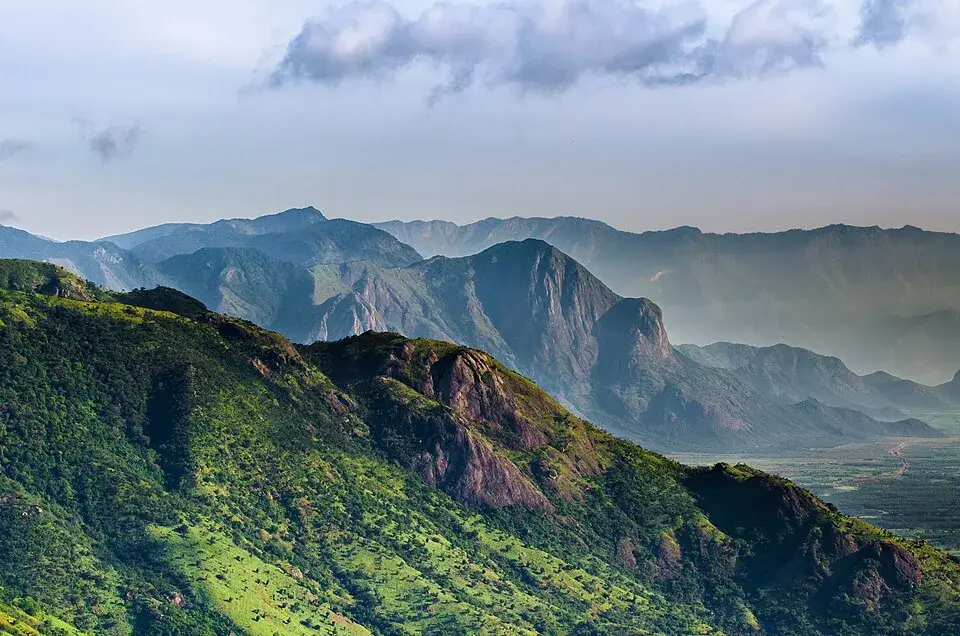
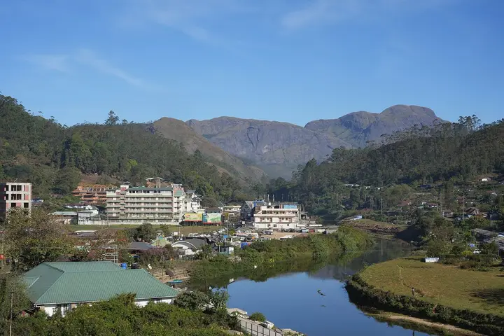
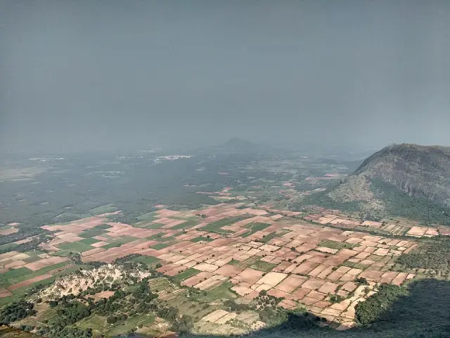
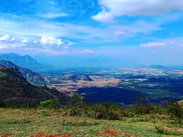
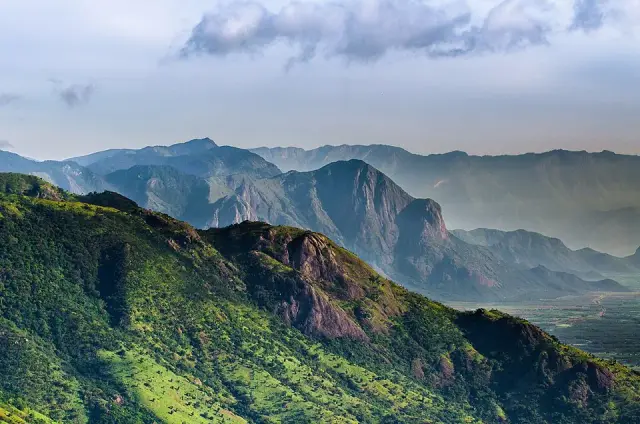
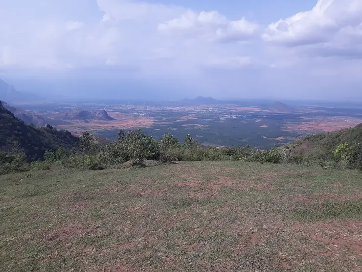
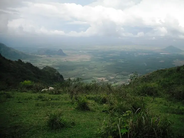
Ramakkalmedu is a hill ward of about a thousand metres on the eastern rim of the Idukki high range, where Kerala stops and the Tamil Nadu plain begins a kilometre below. Almost everything ever written about it describes a gated viewpoint; this page is about the place that viewpoint is named after — Ward 5 of Karunapuram grama panchayat, with a ration shop, a high school, half a dozen named hamlets and a road called after the pass down to Tamil Nadu.
Start with the paperwork, because it is the clearest thing about Ramakkalmedu. The Local Self Government Department of Kerala lists the elected members of Karunapuram grama panchayat ward by ward, and Ramakkalmedu is Ward 5. Ward 1 is Thookkupalam, down the road. Ward 3 is Chottupara. Ward 6 is Kuruvikkanam — the village English Wikipedia names, along with Pushpakandam, as the site of the second wind energy farm ever built in Kerala. Ward 10 is Cumbammettu, the last Kerala ground before the descent into Tamil Nadu. The whole of it is one panchayat of 53.21 square kilometres and, at the 2011 census, 30,473 people in 7,571 households, with a literacy rate of 96.03 per cent against Kerala's 94.
One number in that census stands slightly apart. Karunapuram's sex ratio is 1,020 women to a thousand men, where Kerala's is 1,084 — the state with the highest ratio in India, and this panchayat well below it. That is the signature of a settlement built by in-migration rather than by continuity: the Idukki high range was opened up for farming within living memory, and the people who came up to clear and plant it were disproportionately young men. The hamlet names read the same way. Balanpilla City, 231 metres from this page's pin, is a scatter of houses around a road junction with the word City in its name.
The second thing to know is that maps use Ramakkalmedu for two different points. One marks the settled area among the school, shop and houses; another marks the village centre 1,545 metres north-east and 384 metres from the tourism-centre gate. Neither is necessarily wrong: one answers where people live and the other where visitors stop. Choose the exact attraction rather than the town name when navigating.
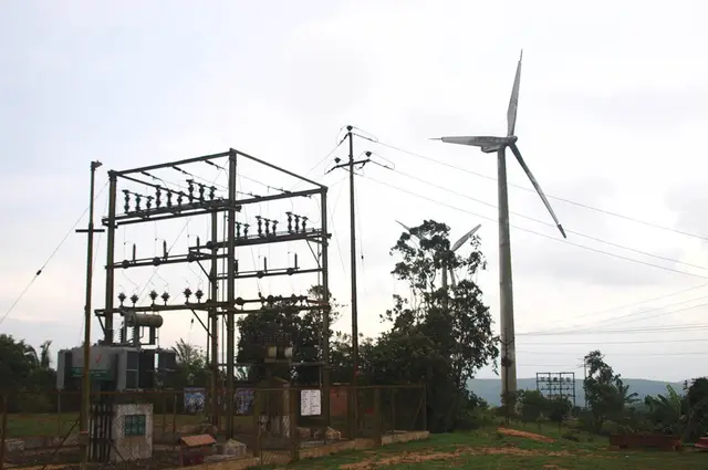
Then there is the energy, which is the ridge's other industry and which is also described two ways. Kerala Tourism's own destination page says the wind farms here "are undertakings of the Government of Kerala" and generate "over 10.5 MW". English Wikipedia says the installations at Pushpakandam and Kuruvikanam are on private holdings, with a capacity of about 14.25 MW of NEG MICON machines feeding the Kerala State Electricity Board. Government or private, 10.5 or 14.25 — the two sources differ on both. What is not in dispute is that the farm is not in this ward. OpenStreetMap maps three turbines within eight kilometres and all three stand by Pushpakandam, five and a half kilometres north-west, in Ward 6.
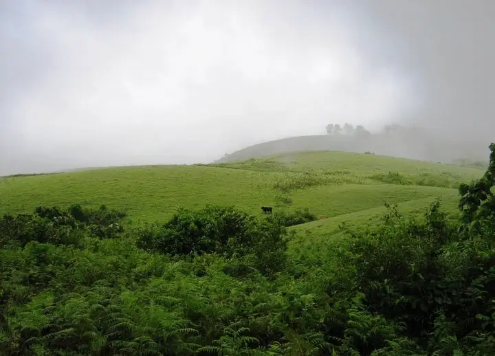
And in 2023 somebody mapped a solar power station on this ridge, 1.9 kilometres north of the pin — photovoltaic panels, tagged as such, on ground that Malayalam Wikipedia describes as one of the windiest places in India, where the average is 32.5 km/h and gusts reach a hundred. There is no irony in it, only sense: the same cloudless dry season that makes the view worth driving for is the season that makes panels pay. But it is a quietly telling detail about a place whose entire public identity is built on wind.
The border is the last of it, and it is nearer than the map suggests. The road out of the ward towards Tamil Nadu is signed Ramakkalmedu–Cumbummettu, and Cumbummettu is the Kerala village at the top of the descent, 8.9 kilometres away by road and a ward of this same panchayat. Beyond it the ground falls away to Cumbum, which you can see from the ridge and cannot easily reach. Phones along here change networks between the two states without being asked, which is the most everyday way the border makes itself felt.
Legend & myth
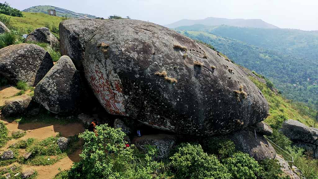
The legends of Ramakkalmedu belong to the rock rather than to the ward, and they are set out in full on the viewpoint page: Rama's foot pressed into the stone in the Treta Yuga, and the കല്ലുമ്മേൽ കല്ല്, the stone upon stone that Bhimasena is said to have used to pound betel for Draupadi. Two epics, one outcrop.
What belongs here is the temple at the bottom of the climb. Malayalam Wikipedia records the Sree Rama and Durga Devi temple as standing at Ramakkalmedu, and local descriptions put it at the threshold of the path up the rock, where people take a blessing before going up onto the open ridge. Kerala Tourism's account of the name is the same story from the other end: the place is named for the impressions of feet found on the rock surface, believed to be Rama's, so the hills took the name of the god whose presence blessed them.
It is worth noticing that the legends are about a rock outside the settlement and the settlement is named after the legends. Medu is simply high ground. Ramakkal is the stone. The ward, the school, the ration shop and the panchayat seat all carry a name that belongs, strictly, to a crag none of them can see from the doorstep.
More about Ramakkalmedu
History
The high range around Ramakkalmedu was settled late. This is farming country opened up within living memory — cardamom, pepper, coffee and rubber on the slopes below the grassland — and the census signature of that in-migration is still legible in Karunapuram's numbers: 30,473 people in 2011 across 53.21 square kilometres, with a sex ratio well below the Kerala average.
Wind power came next, and the dates are not precisely published. English Wikipedia records the villages of Pushpakandam and Kuruvikanam as the site of the second wind energy farm installation in Kerala, on private holdings, at about 14.25 MW using NEG MICON turbines. Kerala Tourism describes the same farms as undertakings of the Government of Kerala generating over 10.5 MW. Both accounts are current on the bodies' own websites. Neither gives a year.
Tourism arrived last and was formalised on 23 February 2011, when the District Tourism Promotion Council, Idukki, opened its tourism centre on the ridge above the ward. Malayalam Wikipedia records K. K. Jayachandran MLA inaugurating it and laying the foundation stone for an Energy Park costed at ₹75 lakh in the same ceremony. That centre — its ₹25 ticket, its hours and its hornbill tower — is what most visitors now mean by Ramakkalmedu, and it has its own page here.
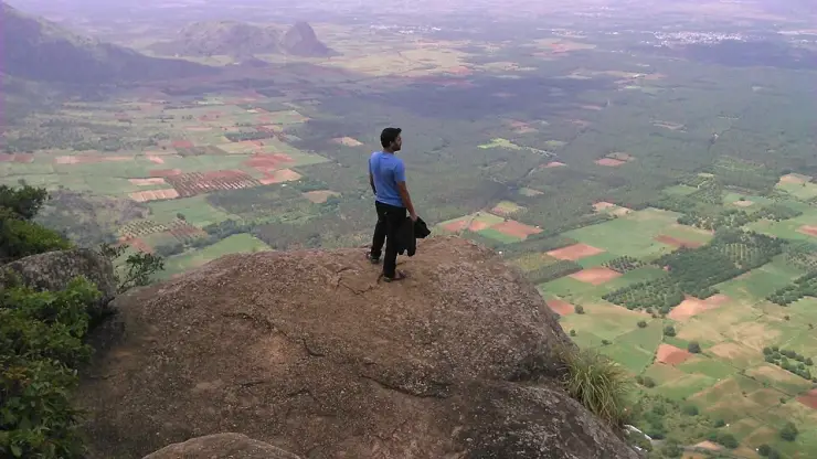
By 2015 English Wikipedia records more than 100,000 visitors a year and notes that little had been done to improve basic facilities. It names a circuit of six features — Tortoise Rock, Kuravan Hills, Rama Rock, Wind Mills Viewpoint, Soolapara Hill and Hyderamala Hills — and Kerala Tourism adds a Frog Rock to the list. Most of those six are not signposted, ticketed or mapped, which is a fair summary of how the ward relates to its own fame.
The most recent municipal fact is the panchayat election of 2020, whose result the Local Self Government Department still publishes: Ramakkalmedu, Ward 5, returned Latha Gopakumar. The panchayat president sits at Chennakulam, Ward 9, and the panchayat office and the agriculture office share a building at Karunapuram, 6.6 kilometres from this pin.
Why visit
See the place rather than the viewpoint — a working hill ward of a Kerala panchayat, with a ration shop, a high school and hamlets called Balanpilla City and Combamukku, 2.9 km below the gate everybody photographs.
Stand where two of the world's largest map databases disagree by a mile and a half about what the ground under you is called.
Follow the Ramakkalmedu–Cumbummettu road towards the pass and understand, from the road signs alone, how close Tamil Nadu is and how far away it is to reach.
Look at the energy argument on the ridge: a wind farm two official sources describe with different owners and different capacities, and a solar station mapped in 2023 on the windiest ground in the state.
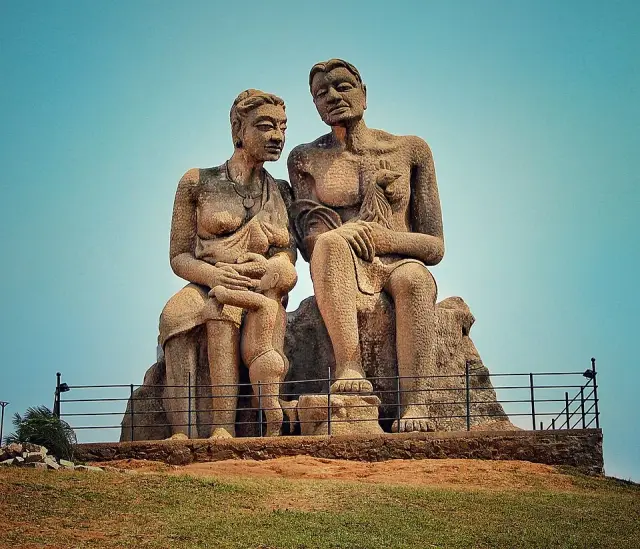
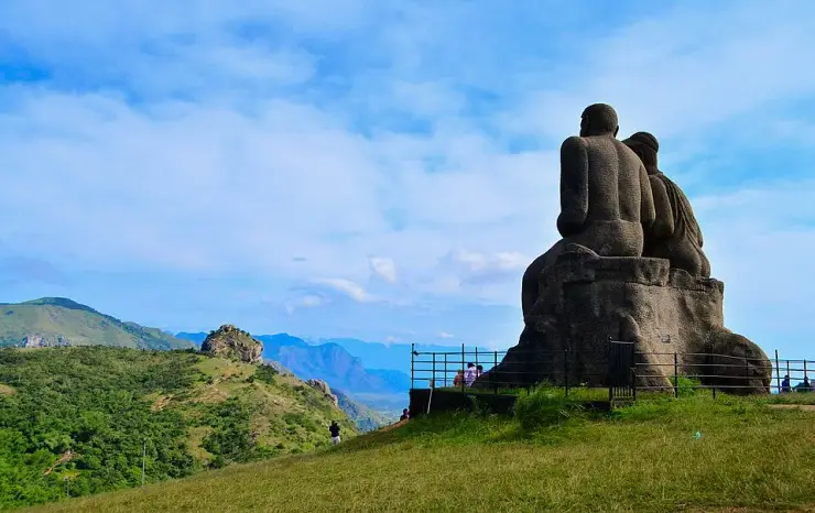
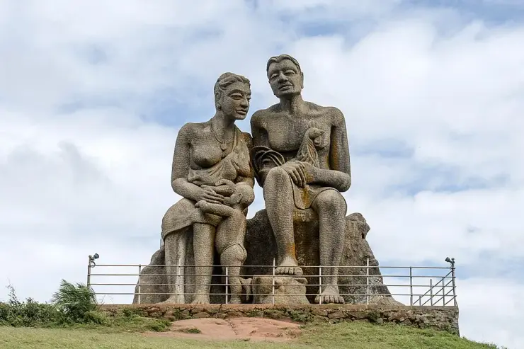
Use it as an unticketed base for the ridge — the viewpoint compound, the Kuravan and Kurathi statue and Aamai Para are 2.9, 2.9 and 5.6 km away by road, and none of them will sell you a bed.
Take the blessing at the Sree Rama and Durga Devi temple at the foot of the climb, as people going up onto the ridge have done long before there was a ticket counter.