Kerala's own adventure-tourism body names exactly two places in the state where you should paraglide, and this ridge is one of them. It also gets the district wrong, contradicts itself about the height by nearly a factor of two, and has not updated the page since 2015. This is what is actually up here, measured.
The story of Paragliding viewpoints
Start with the endorsement, because it is real and it is narrower than you would guess. The Kerala Adventure Tourism Promotion Society — the state body that accredits adventure operators — publishes a page on paragliding with a section headed “Preferred Destinations”, and it contains two entries for the whole of Kerala: Vagamon, and Varkala. Nowhere else. Not Munnar, not Wayanad, not Ramakkalmedu, whose own visitors are regularly told they can fly there. Of Vagamon it says: “Kolahalamedu hill, located 4km from Vagamon, provides the perfect platform for paragliding. Over 3,000 feet in height, it has a 10km long ride that is perfect for take-off and landing.”
The 4 km is right. Kolahalamedu is 4.25 kilometres from the middle of Vagamon by road, seven minutes, and 3.26 in a straight line to the south-south-east. The height is right too, as far as it goes: two independent elevation models put the ridge at 1,044 to 1,053 metres, which is 3,425 to 3,455 feet, so “over 3,000 feet” is honest and even modest. What is not right is the sentence at the top of the same page, which invites you to “get a bird's eye view of Kerala, at nearly 6,000 ft above sea level”. Nothing here is near 6,000 feet. The highest point mapped within five kilometres of this pin is 1,113 metres — 3,652 feet. Kerala Tourism, separately, gives Vagamon 1,100 metres. One page, two altitudes, and the headline one is almost double the site it is describing.
The same entry is headed “Vagamon, Kottayam”. Vagamon is in Idukki, and the body's own sentence three paragraphs earlier says so — “Vagamon in the district of Idukki”. Kerala Tourism files it under Idukki; the mapped boundary puts this ridge in Peerumade taluk, Idukki. The confusion is not baseless: the district border genuinely runs across this upland, and Kurisumala — 5.9 kilometres away by road, and the subject of its own page here — really is in Kottayam. But the flying ground is not.
Then there is the date. The page's news is the Mathrubhumi Yathra 7th International Paragliding Carnival, written in the future tense: “The event dates are from 21 Feb 2015 until 1 Mar 2015 at Vedikuzhi suicide point.” It links a 2013 photo gallery and 2014 video highlights. It names the partners — Fly Vagamon club, the Vagamon destination management committee, the Paragliding Association of India — and the acrobatic display led by Calin Popa of Romania, and it says the gates open from noon to six. All of that is more than a decade old and none of it is marked as past. The body's separate page for the Vagamon paragliding event, which is where a current date would live, returns a database error rather than a page: an HTTP 500 that prints the name of a PHP file and a line number to anyone who visits. We checked it three times.
So the honest position is this. The endorsement stands — this is one of two places the state names — and the season it gives is specific and worth having: September to January, and again March to May, when the wind comes from the south-west. But there is no official source that will tell you whether anyone is flying next Tuesday. That is a question for a licensed operator on the phone, and the answer will depend on the wind on the morning, as it does at every flying site in the world.
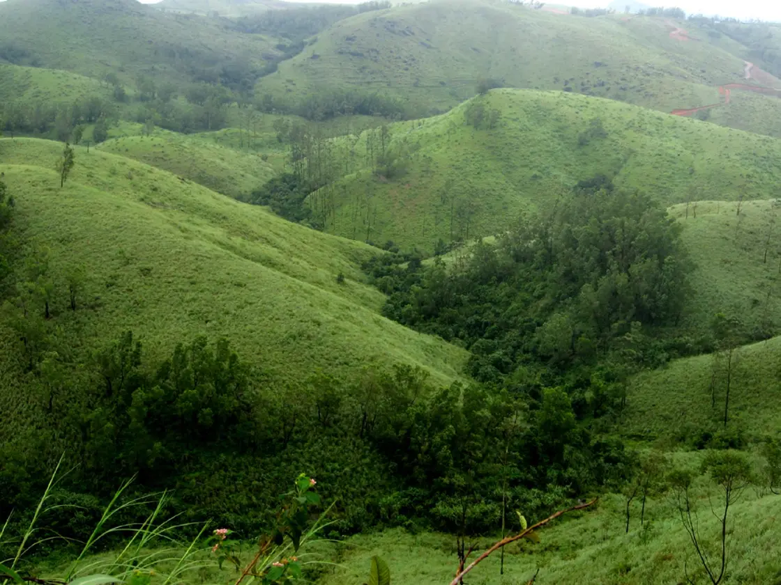
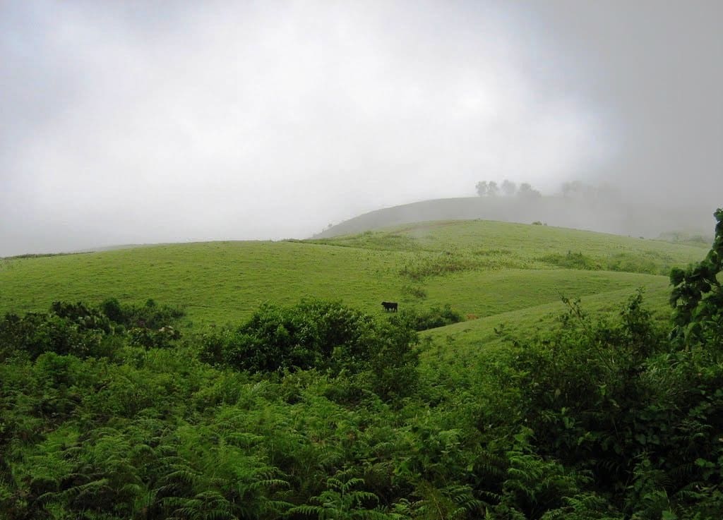
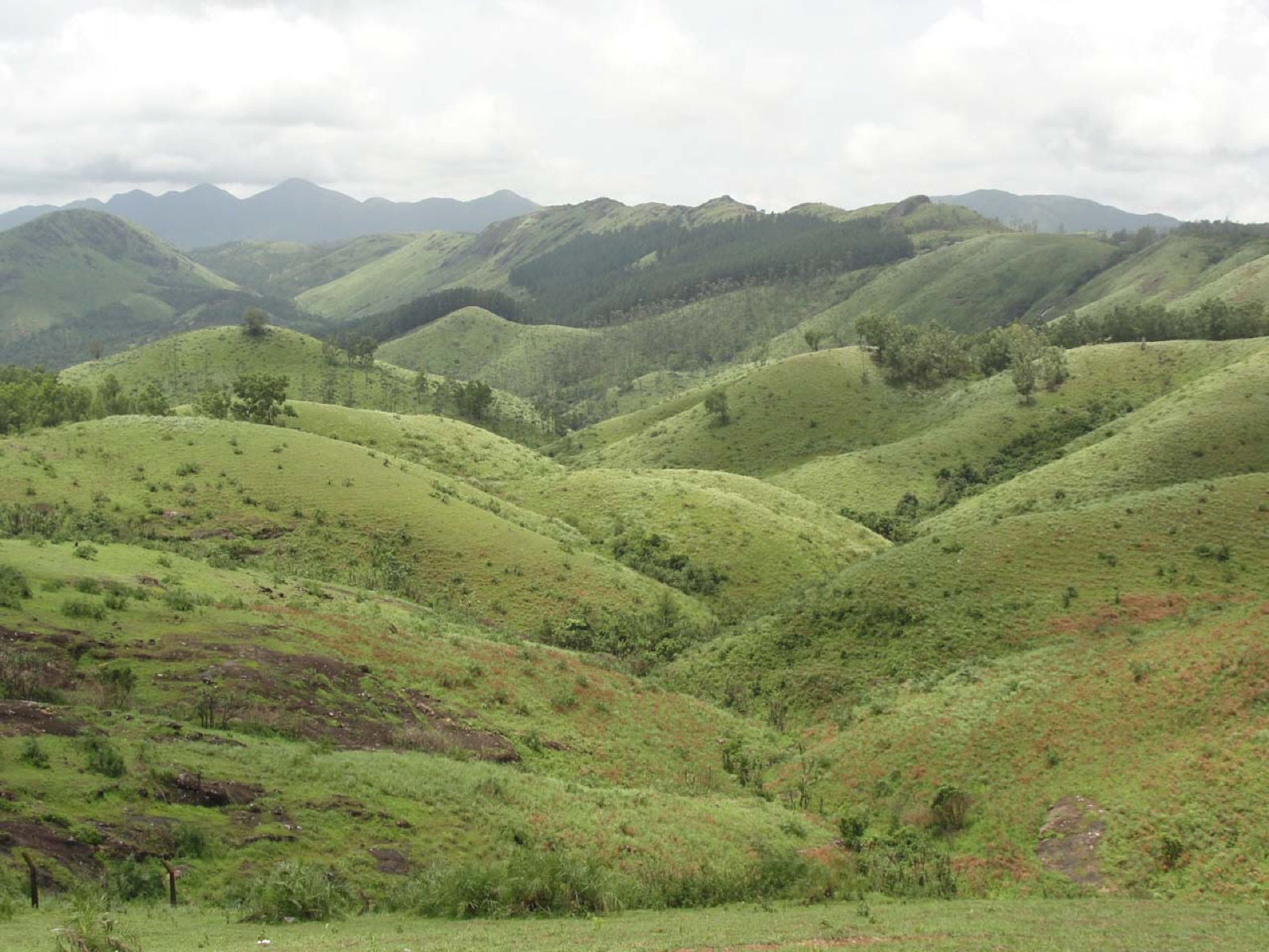
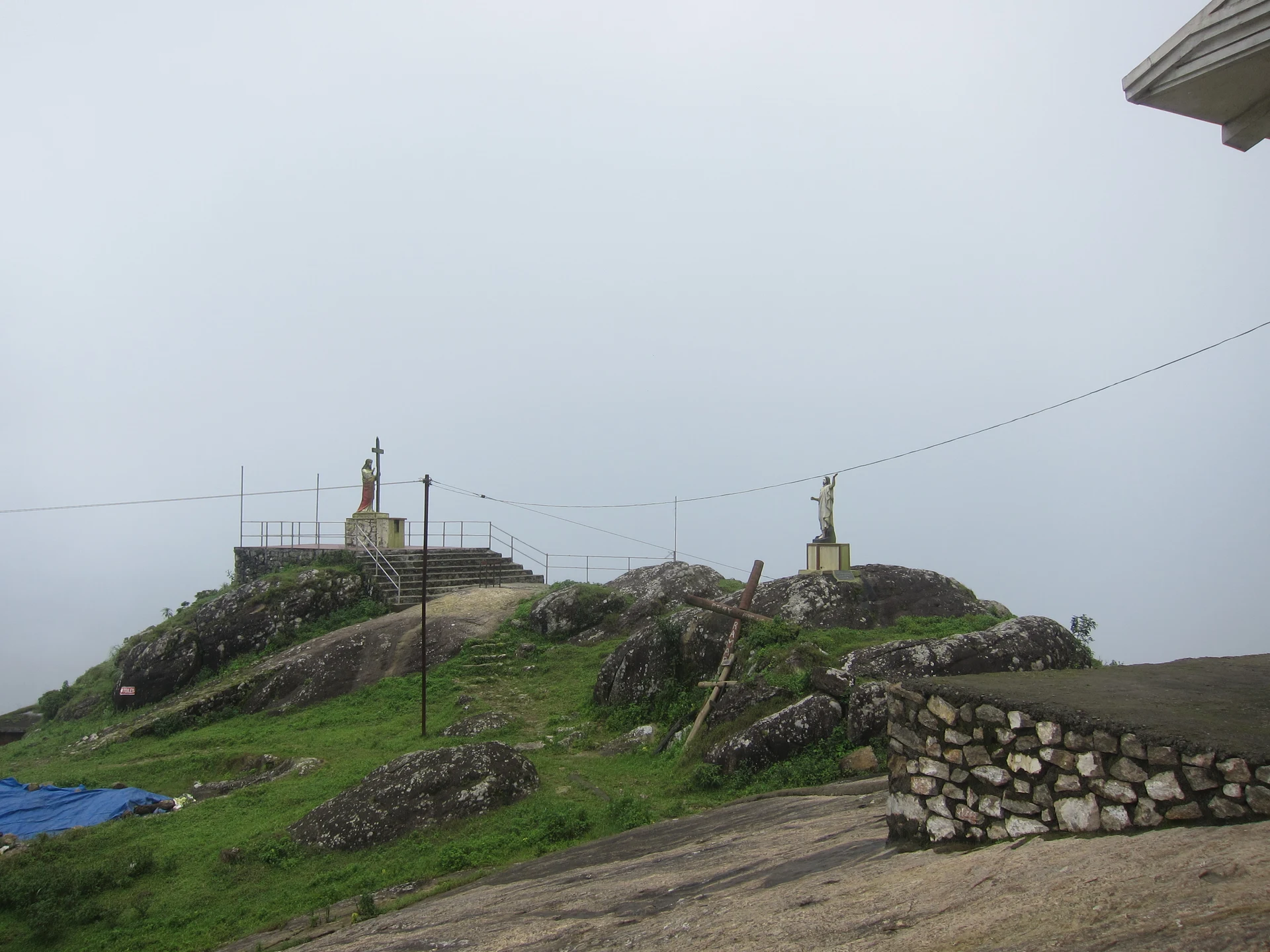
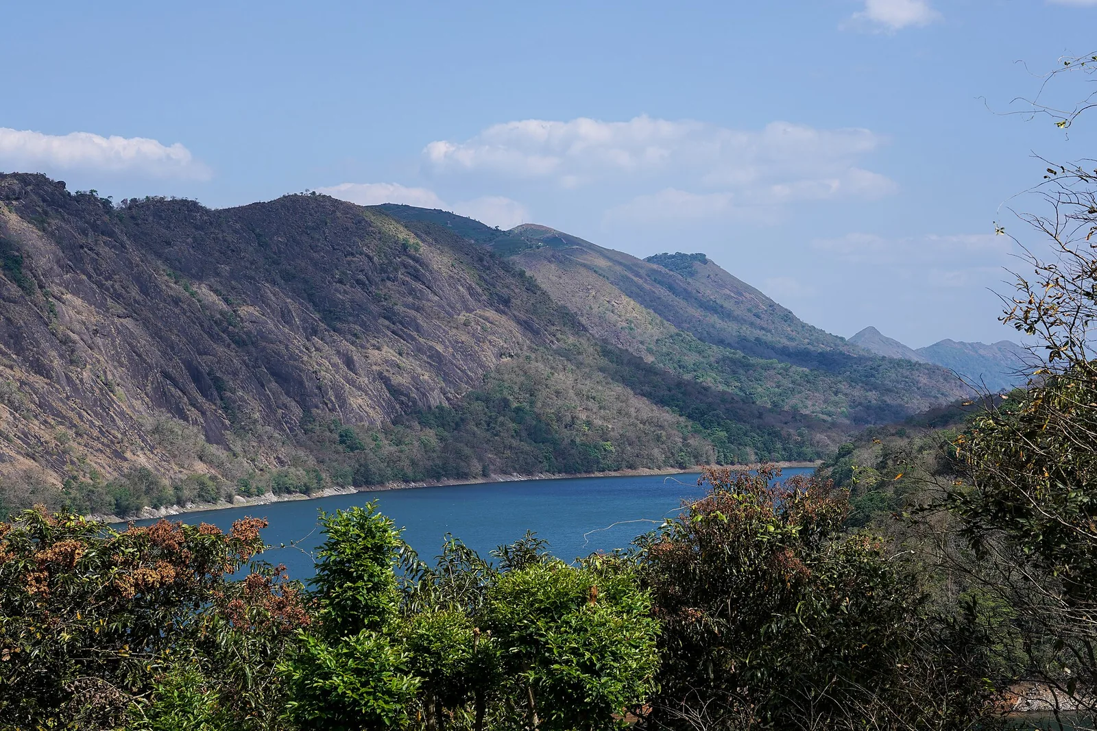
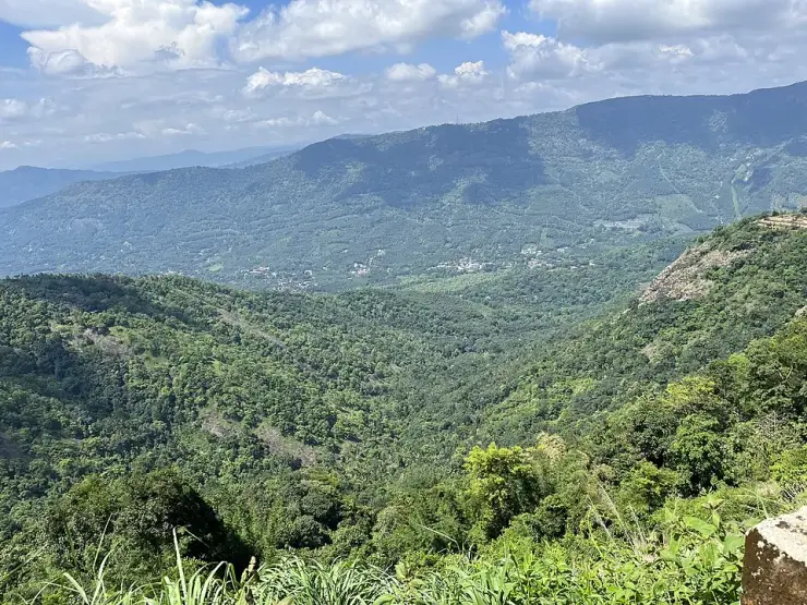
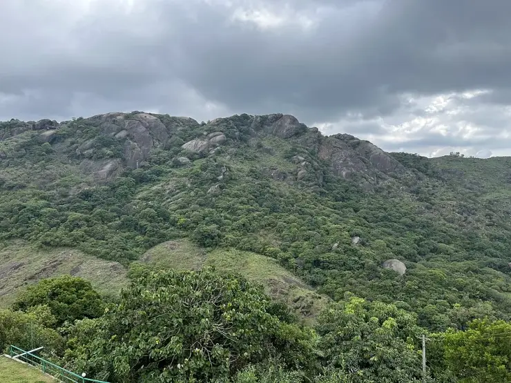
What you are actually looking at, if you drive up and nobody is flying, is the reason they chose it. Kolahalamedu is a run of bare grass hills at a little over a thousand metres with almost no trees on the windward side, ending in a long drop westward into the valley. There is a village of the same name on the ridge with a bus stop that a second mapper spelled “Kolahamedu”; a tertiary road runs along the top of it, signed for Kurisumala and Thangalpara; and the Vagamon meadows and their ticket counter begin about 800 metres away. The carnival site, Vedikkuzhi — വെടിക്കുഴി, and locally “suicide point” — is a separate hamlet 1.35 kilometres further on and about forty metres higher than the platform the state names, which is worth knowing if someone tells you to meet them there.
Legend & myth
Kolahalamedu is കോലാഹലമേട് — medu is high ground, the same word that ends Ramakkalmedu and Chathurangapara's neighbours, and kolaham carries the sense of clamour or uproar. A ridge named for noise, now used for the quietest kind of flying there is. We have found no published account of how it got the name and we are not going to invent one.
Vedikkuzhi is വെടിക്കുഴി — vedi, a shot or an explosion, and kuzhi, a pit or hollow. It is the place the paragliding carnival was held, and it is also the spot English-language travel writing calls “suicide point”, a name attached to a great many Indian viewpoints with a sheer edge and no relationship to this one's history. We record both names because both are used on the ground; we are not attaching a story to either.
The spelling matters more than it should. Search “Vedikuzhi” with one k, as most travel pages write it, and the mapped hamlet does not come back at all; വെടിക്കുഴി and “Vedikkuzhi” return it on the first try. The same is true of the ridge itself, which OpenStreetMap carries twice — as “Kolahalamedu” on the settlement and “Kolahamedu” on its bus stop, forty-nine metres apart.