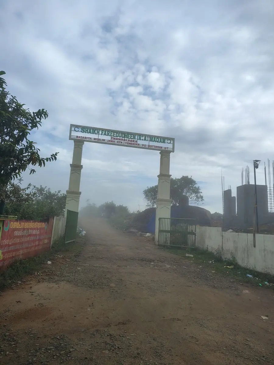
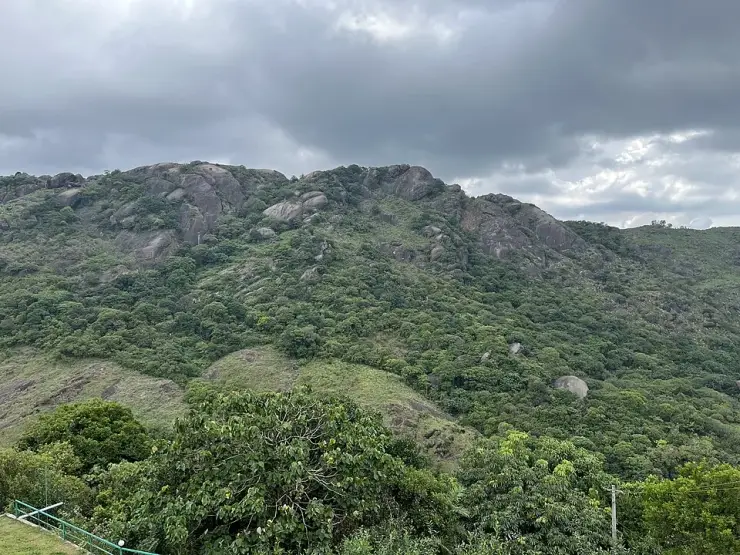
Para is rock, and the rock is the reason for the name: a dome of bare granite coming out of the grass in one unbroken sweep, dark and streaked with water in every season, with a pond at its foot and a path round the edge of it. Most people photograph it and drive away. Almost nobody reads what is written at the gate.
The story of Thangalpara
Through the arch there is a second sign, standing on bare rock, and it is the fullest published account of this place anywhere. It names the shrine — the Shaikh Fareedudheen Valiyullahi Maqam, Thangalpara–Kolahalamedu — carries a Waqf registration number, and then sets out a life line by line. Born in the Hijri year 585, in Khorasan province in what is now Afghanistan. Descended from the second caliph, Umar al-Farooq. Father Shaikh Jamaluddin Sulaiman, mother Qarsum Khatun. Taught by Qutbuddin Bakhtiar Kaki and a second Chishti master. Died on a Thursday, the fifth of Muharram, 664 AH.
Those details are worth pausing on, because they are precise rather than devotional. A father named Jamaluddin Sulaiman, a mother named Qarsum, a master named Qutbuddin Bakhtiar Kaki and a death in 664 AH belong to exactly one man in the whole Chishti record: Fariduddin Masud Ganjshakar — Baba Farid. The obvious objection follows at once: he is buried at Pakpattan Sharif, two thousand kilometres north in the Punjab, and nobody is buried in two countries.
He is not, and this shrine has never said he is. The word used at the gate is maqam, and a maqam is not a grave. In the older usage the maqamat are the places where a revered person lived, stayed or worshipped; the building raised over a body is something else and has its own word. The Malayalam record says the same thing, and it is the only one that carries the story at all: Shaikh Fariduddin Ganjshakar travelled the peninsula preaching, reached this country in the 1240s, and the Poonjar Raja granted land free of tax at Erattupetta, twenty-two kilometres west, for a memorial to him. The English record of Erattupetta has not a word of it. Kerala Tourism, meanwhile, calls this rock the saint’s final resting place — a larger claim than the shrine itself has ever made.
Then there is the rock, which is the other half of the name. This one is not a boulder but a hill of stone: the mapped outcrop covers about forty-eight hectares and runs roughly 1.4 kilometres north to south and 1.6 east to west, rising in one unbroken sweep out of grass and scrub. Photographed from below it is almost black where it is wet, and it is wet in long pale runnels down the face all year — the perennial seepage the state says does not dry even in summer, and the reason a pond lies at the foot of it. Geologically it is an inselberg: a resistant granite core left standing as the softer ground around it wore away.
What you walk into is smaller and far more domestic than the rock behind it. Through the arch there is mown grass and planted beds, and two parallel runs of stone blocks set level into the turf, curving round the edge of the pond at the foot of the dome. Benches stand on the far bank. Off the path there is a tiled pavilion — a hipped roof over an open-sided shelter, with an Islamic arch worked in white on the green gable panel — the kind of building put up for people who have come to stay a while rather than to look and drive on. Nothing about it is grand. It is the layout of a parish, and it is the plainest evidence that this is a place which expects pilgrims.
Two things about it are printed wrongly nearly everywhere. The height first. Kerala Tourism gives 2,500 metres, the travel sites give 2,500 feet, and Malayalam Wikipedia gives 1,882 metres. Read off three independent elevation models, the entrance stands at 1,070 to 1,084 metres and the top of the rock at 1,116 to 1,144 — about 3,600 feet. It is the same unit error this site has already documented at Kakkayam, where a figure was read out of the feet column of a signboard and printed as metres. The district second. The arch gives the postal address as Yendayar P.O., Kottayam, and tested point by point against the mapped administrative boundary the entrance, the sign and the whole rock fall inside Kottayam — the entrance in Kanjirappally taluk, the summit in Meenachil. Kerala Tourism heads its article “Vagamon, Idukki”. So, for now, does our own address bar.
Legend & myth
The legend is about the rock growing. It is told locally and Kerala Tourism prints it: that the stone was once small, that the saint used it to grind his betel, and that after his death it swelled to the size it is now. It belongs in the legend column rather than the geology one — but it is a fine way of saying what anyone standing there feels, which is that the rock is out of all proportion to everything around it, and that it stands where a man is remembered.
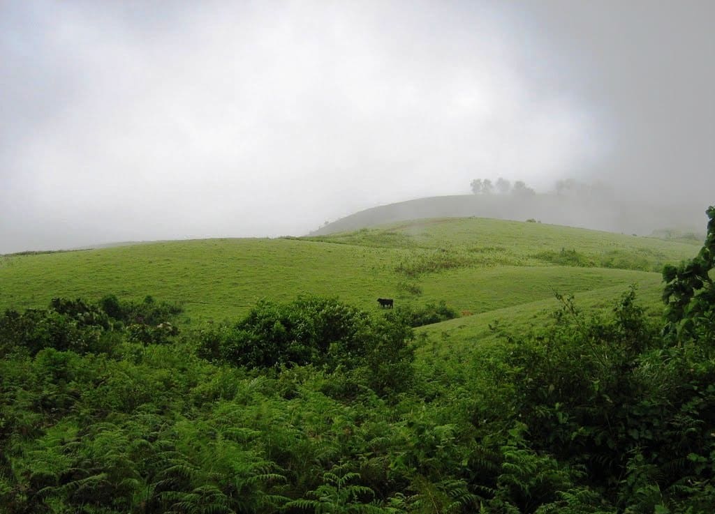
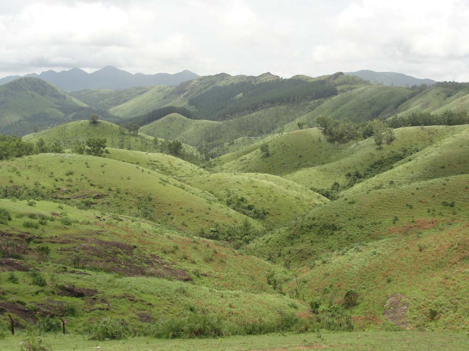
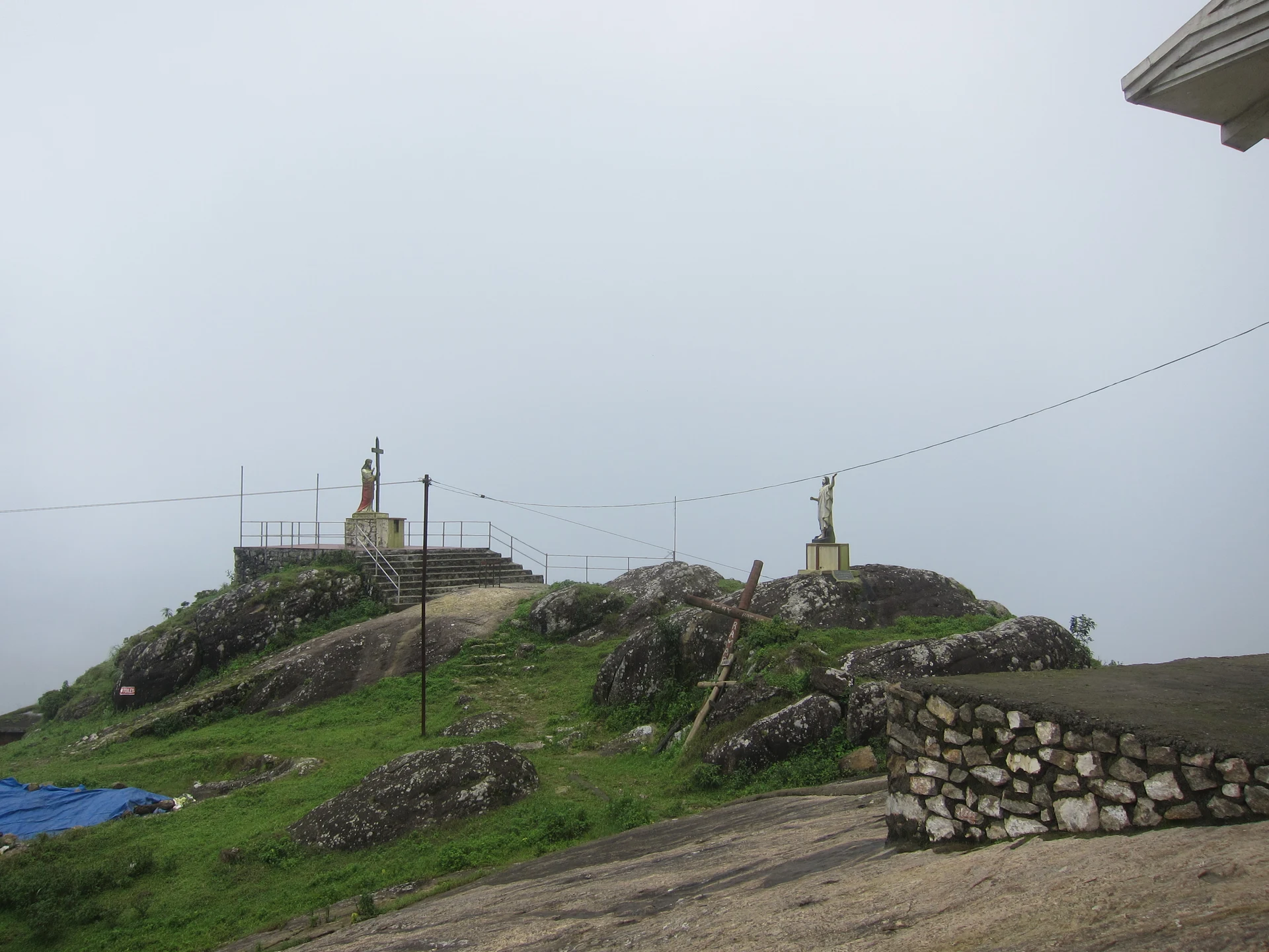
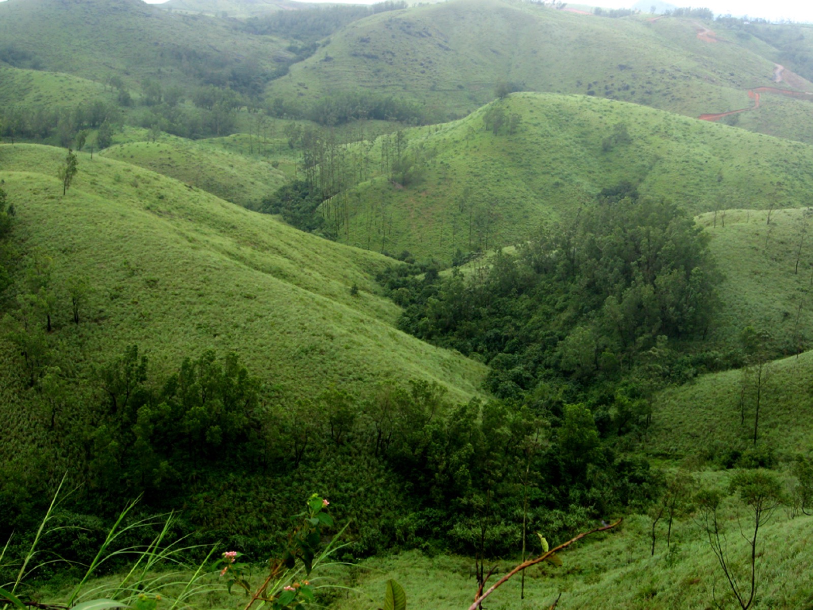
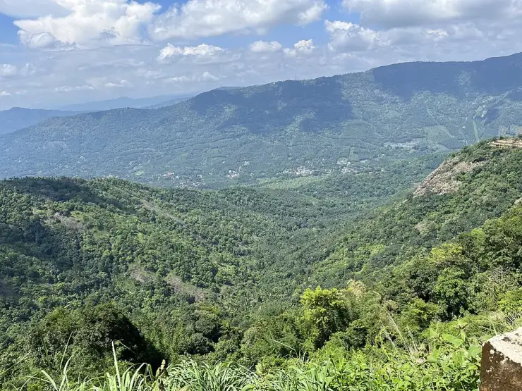
Vagamon’s hills are told as a set — Kurisumala for the Christians, this rock for the Muslims, Murugan Mala for the Hindus — and on a clear day you can pick out the other two from here. None of it was planned. Each grew on its own timeline, and the arrangement is the accident of three communities choosing the same high, quiet ground.
One name, two places. There is a Senapathi Thangalpara elsewhere in Idukki district with the tomb of Peer Muhammad — a different shrine to a different saint. Searching the name on its own will hand you the wrong one.
Read the full history of Thangalpara 436 more words
History
1240s — by the account preserved in Malayalam and nowhere in English, Shaikh Fariduddin Ganjshakar reaches this country while travelling the peninsula to preach, and the Poonjar Raja grants land free of tax at Erattupetta, then the commercial town of the Poonjar kingdom, for a memorial to him.
5 Muharram 664 AH, a Thursday — the date of death recorded at the gate here. In the Common Era it falls in 1265–66, and it is the date recorded for Baba Farid, who is buried at Pakpattan in the Punjab.
Long before either — the rock itself, a granite inselberg of the kind that stands out all along this edge of the Western Ghats. The perennial seepage in its joints is part of the headwaters of this upland; the Meenachil River rises at the edge of the Kolahalamedu ward.
Today — the site is a registered waqf under the Yendayar Badhariya Muslim Jama-ath, which is named at the gate as having complete control of it. We could not check the registration number against a public register: Kerala publishes no searchable waqf list, its gazette page asks you to obtain the date from the waqf office first, and the national portal it points at no longer resolves. The number is real and on display; the register behind it is not open to look up.
November 2025 — the compound is photographed in the middle of building work: concrete columns and standing rebar beside the gate, spoil and stacked material along the wall. Whatever is there now is newer than any published picture of it, this page’s included.
27 May 2026 — the information sign is photographed and released into the public domain, making the shrine’s own account readily available to readers for the first time.
Why visit
Because the shrine explains itself better than the guidebooks do, and the explanation is at the gate where anyone can read it.
Because the rock is genuinely remarkable — a granite dome close to a kilometre and a half across, wet down its face all year, with a pond and a level walk at the foot of it.
Because it is the quietest of Vagamon’s three hills, and the least visited.
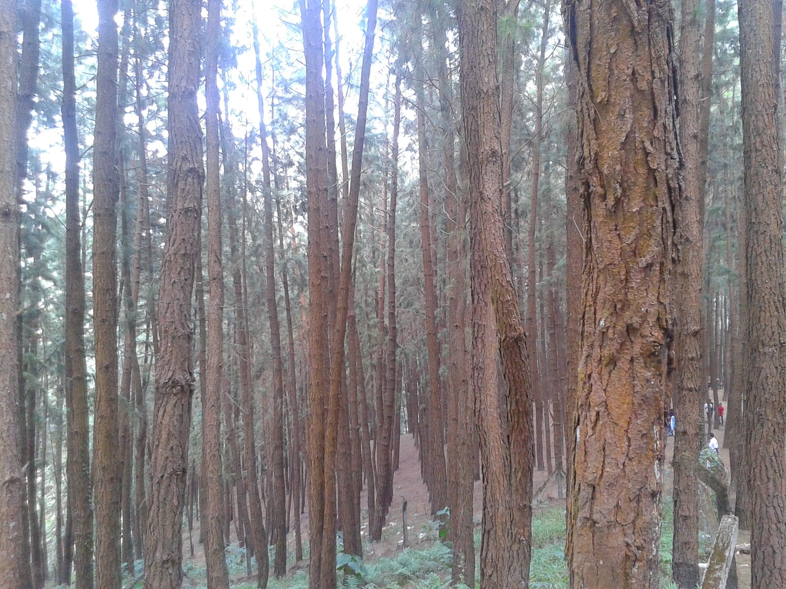
Because it fits the Vagamon shoulder without doubling back: the paragliding ridge is 1.45 km away by road, the pine forest 2.44 and Kurisumala 4.42, so all four sit inside one half-day.
Because the saint’s other Kerala memorial stands twenty-two kilometres down the same road — the Puthuppally Maqam at Erattupetta, on the land the Poonjar Raja gave free of tax. The two belong together, and almost nothing in English connects them.