What to expect
Highlights
- Viewpoint stop at Palakkayam Thattu
- Photography and landscape views
- Good add-on to nearby town or hill routes
A misty grassland hill viewpoint in the Western Ghats near Kolari, ~3,000 ft, known for cloud-touched meadows, a small waterfall and adventure activities.
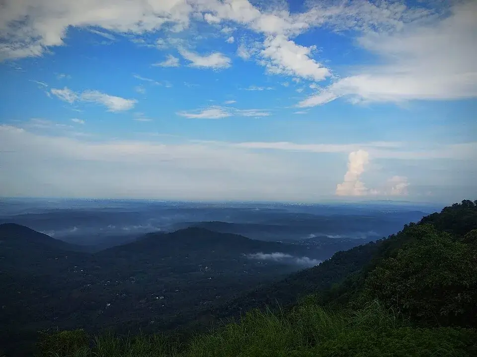
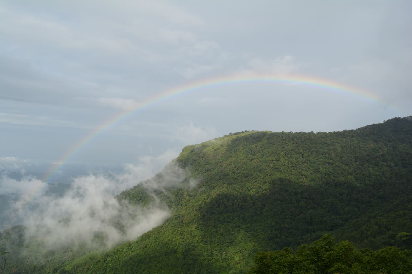
High in the Western Ghats of eastern Kannur, Palakkayam Thattu is a wind-scoured grassland plateau at roughly 3,500 ft where the forest suddenly opens onto a floor of rolling meadow and a horizon of blue-green ridgelines. Reached by a famously steep jeep track, it has become one of northern Malabar’s most talked-about viewpoints — a place of drifting mist, sunrise cloud-seas, a much-photographed giant swing and a cluster of adventure activities perched on the very edge of the hill.
The last stretch of the journey is the part everyone remembers. After the long, curling climb through Kannur’s interior hills, the tarred road runs out at a jeep stand, and the final couple of kilometres up to the plateau are a rutted, near-vertical scramble that only a hardy 4×4 or a strong pair of legs can manage. Battered Mahindra jeeps grind up the incline in low gear, engines roaring, while passengers hang on and laugh — and then, quite abruptly, the trees fall away and the whole tableland opens out in front of you.
The word thattu in Malayalam means a flat terrace or shelf of land, and that is exactly what Palakkayam Thattu is: an unexpected apron of open, grassy ground laid across the top of a steep hill. In the clear, dry months the meadow is a warm brown-gold, cropped short and studded with rock; through and after the monsoon it turns a vivid, drenched green. Either way it feels like a natural stage suspended in the sky, fenced along its edges where the ground drops sharply into forested valleys.
Ranged along that edge are the plateau’s trademark viewing frames — square cement window-frames, sometimes called the ‘eyes’ of Palakkayam Thattu or the ‘Kannur Eye’, set up so that you can stand inside them and be photographed with the ridges falling away behind you. Through one frame the land rolls towards Paithalmala, the highest peak in Kannur district; through another you can trace the thread of the Valapattanam river winding far below through a sea of green.
Weather is the great shape-shifter here. On a settled winter morning the air is glass-clear and you can see for miles; an hour later cloud can boil up from the valleys and swallow the whole hilltop in cool white mist, reducing the frames to grey silhouettes and the swing to a ghost against the fog. Visitors quickly learn that the plateau rewards the early and the patient — dawn and the hour before sunset are when the light is softest and the cloud-play is most spectacular.
Scattered across the tableland are metal benches placed to catch the panorama, cemented platforms for pitching tents, a modest refreshment stall near the top, and the adventure zone that has made the place a magnet for younger travellers. The giant swing that arcs out over the slope, the zip-line strung above the grass, zorbing balls, a rope crossing, archery and an air-rifle shooting range all cluster near the edge, so that thrill and view come in the same frame.
For all the recent buzz, Palakkayam Thattu still wears its remoteness lightly. There are no big hotels on the summit, no crowds jostling at midday once the mist rolls in, just grass, wind, cloud and a long silver horizon. Campers who stay overnight get the best of it — a bonfire under a hard, star-dense sky, and a sunrise the day-trippers never see, when the valleys below fill with cloud and the plateau seems to float above the world.
Palakkayam Thattu is a relative newcomer to Kerala’s tourist map. For generations it was simply a high grazing shelf known to the farmers and forest-edge villages of eastern Kannur — a hard-to-reach tableland in the folds of the Western Ghats, more familiar to hunters, herders and trekkers than to holidaymakers. Its fame is very much a product of the smartphone-and-social-media era.
What changed everything was the view. Sitting at around 3,500 ft, the plateau commands one of the widest, most photogenic panoramas in the district — described locally as the second-highest viewpoint in Kannur after Paithalmala — taking in that peak, distant hill ranges and the distant curve of the Valapattanam river. As images of the misty meadow and its cloud-seas began circulating online, curious visitors started making the difficult drive up, and word spread quickly across Malabar.
To manage the growing footfall, the site was gradually organised into a ticketed viewpoint. Basic infrastructure appeared over time: a fenced perimeter along the dangerous edges, the distinctive cement photo-frames, benches, cemented camping platforms, a small stall and toilets, and a regulated jeep service to ferry visitors up the punishing final climb from the lower parking area. A modest entry fee and parking charge were introduced, with the local body and tourism promotion council involved in running and promoting it.
The adventure offerings — the giant swing, zip-line, zorbing, rope crossing, archery and shooting range — were added to turn a simple scenic stop into a half-day activity destination, and camping packages followed to capture the overnight, sunrise-chasing crowd. These have been the making of the place commercially, drawing school groups, families and young travellers from across Kannur, Kasaragod and beyond.
Today Palakkayam Thattu is firmly established in Kannur’s tourism messaging as an offbeat hill-station experience, even as it remains deliberately low-key on the summit itself. Its story is a familiar modern one — a quiet Western Ghats plateau, ‘discovered’ by cameras, lightly developed for visitors, and now balancing its new popularity against the fragile grassland, steep access and unpredictable mountain weather that give it its character.
The panorama is the headline act. From roughly 3,500 ft the plateau opens onto one of Kannur’s broadest views — layered Western Ghats ridgelines, the distant summit of Paithalmala and the silver line of the Valapattanam river far below — best framed through the site’s signature cement ‘eyes’.
It is a rare walk-in cloud experience. On the right morning, mist and cloud pour up from the valleys and roll across the meadow, so you are literally standing inside the weather; sunrise from the tableland, with the lowlands drowned in cloud, is the reason many people camp overnight.
There is a genuine adventure cluster on top — a giant swing that flings you out over the slope, a zip-line above the grass, zorbing, a rope crossing, archery and an air-rifle range — making it as good for thrill-seekers and families with teenagers as for photographers.
The journey itself is an attraction: the winding climb through the hills of interior Kannur followed by the notorious steep jeep track to the summit turns the trip into a small expedition, with the rattling 4×4 ride up part of the fun.
It offers something the coast cannot — cool, high-altitude air, open grassland and space to breathe, plus star-heavy night skies and bonfire camping well away from town lights, all within a few hours of Kannur city.
As an offbeat, still-uncrowded spot, it rewards travellers looking beyond the standard Kerala circuit; outside peak weekend hours the meadow can feel almost empty, wild and windswept in the best possible way.
Road km to Kannur; ghat roads and traffic vary — allow extra.
Clear post-monsoon and winter days are best; mist can block views in hill areas.
Live forecast loads in your browser.
Sun and moon are calculated for this location and shown in IST. Photography windows are the hour around sunrise and sunset; the sunset bearing is degrees clockwise from true north. Moon phase is accurate to about half a day.
Browse listed stays, food, activities, sights, shops and rentals around Palakkayam Thattu. Check each listing’s locality and contact the business directly for current arrangements.
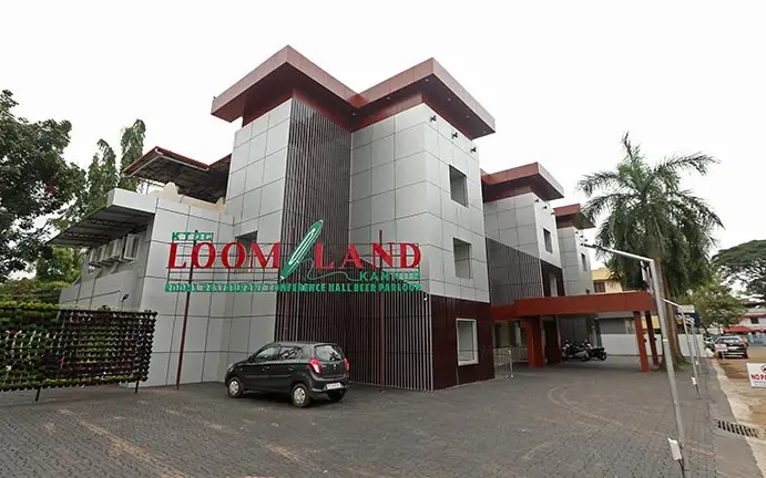
Loom Land is KTDC’s city hotel near Police Club in Kannur. The operator lists Royal Suite, Suite, Premium and Executive rooms, a restaurant and conference space. Compare the room category and meal plan for your dates, and arrange arrival with the hotel through its current contact.
Ayurvedic beach resort on Payyambalam Beach Road at Palliyamoola. Panchakarma packages use medicines from GMP-certified parent Asoka Pharmaceuticals.
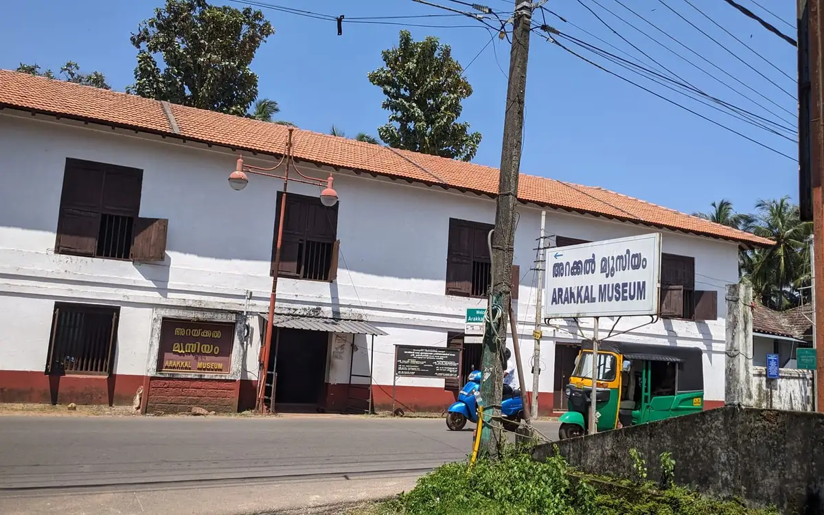
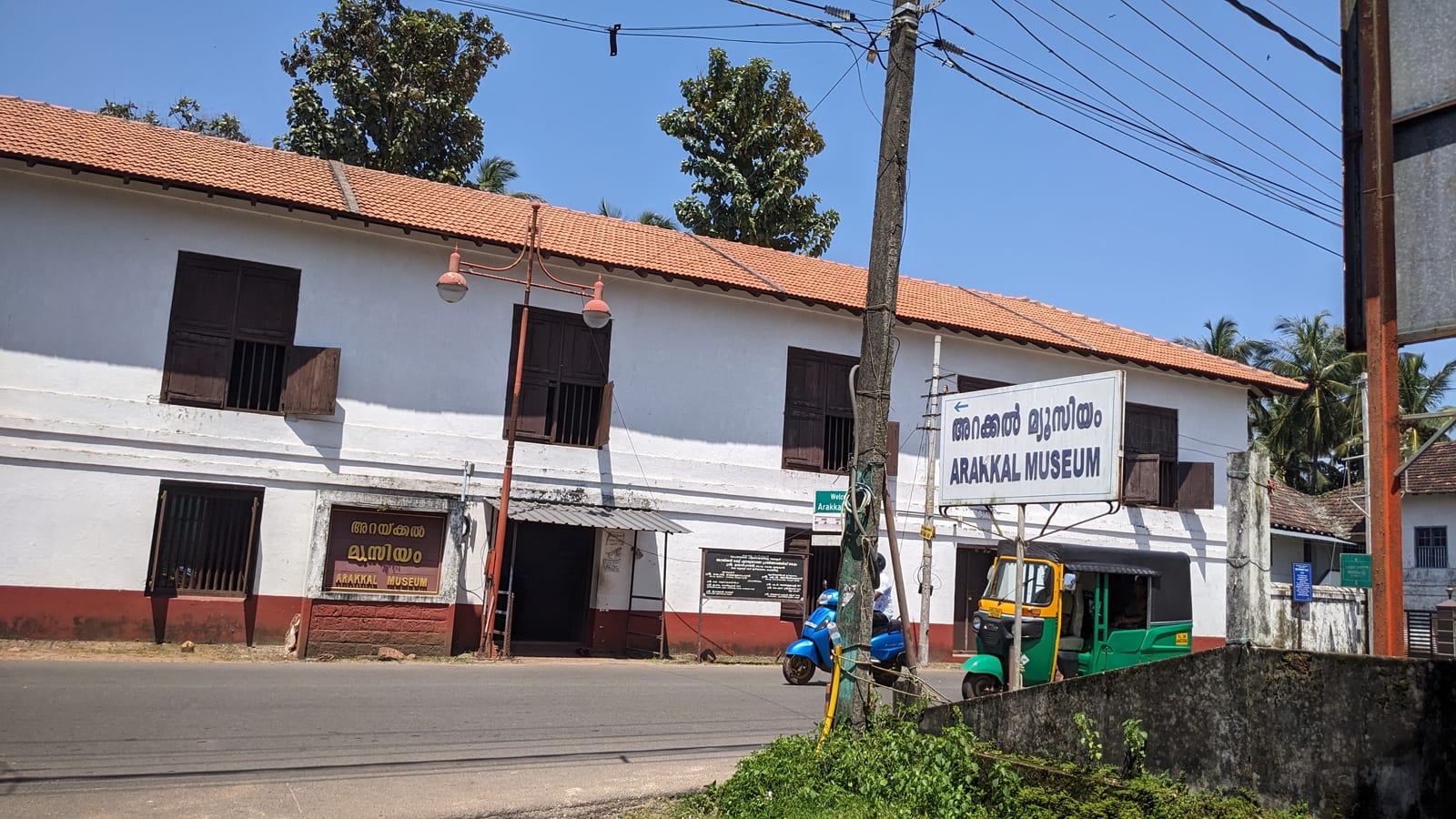
The Arakkal Kettu — the palace museum of the Arakkal Ali Rajas, the only Muslim royal house in Kerala and a matrilineal one, so it was ruled at times by a Beevi rather than a Raja. Ticketed by the Arakkal Trust; confirm the current rate on site.
Statue of A. K. Gopalan, born in this district and the first Leader of the Opposition in the Lok Sabha. It is a street landmark on the way past rather than a visit in itself.
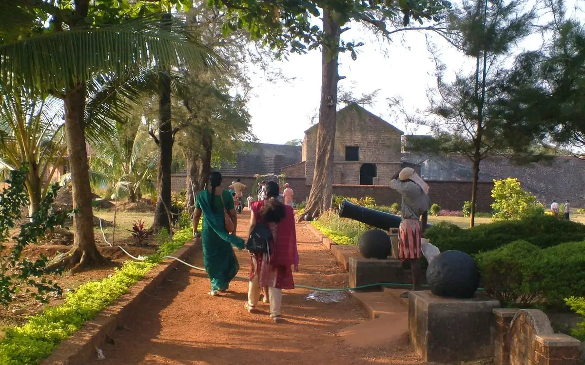
Sea-facing laterite fort begun by the Portuguese in 1505 and later held by the Dutch, the Arakkal royal house and the British. It stands over Mappila Bay and the working fishing harbour at Ayikkara, and the seaward bastions are the part worth the walk.
A thodu, or tidal creek, at Chovva on the eastern side of the town. It runs through a residential area rather than past a viewpoint, and there is no formal access path along it.
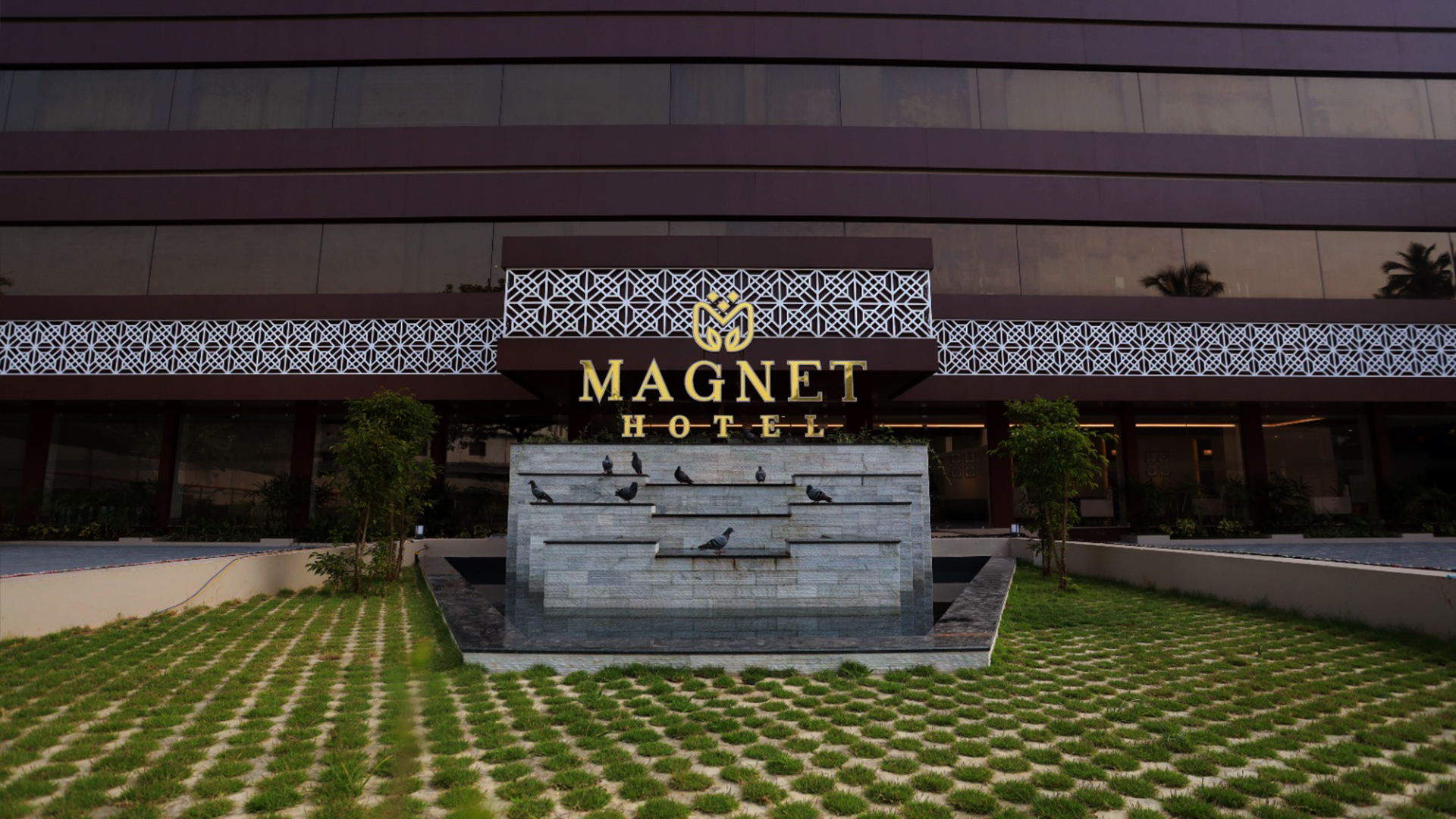
Four-star facility hotel at Chirakkal, Puthiyatheru, on the northern edge of Kannur city. It offers luxury air-conditioned rooms, multi-cuisine dining and banquet and event spaces as one of the city’s newer upmarket hotels.
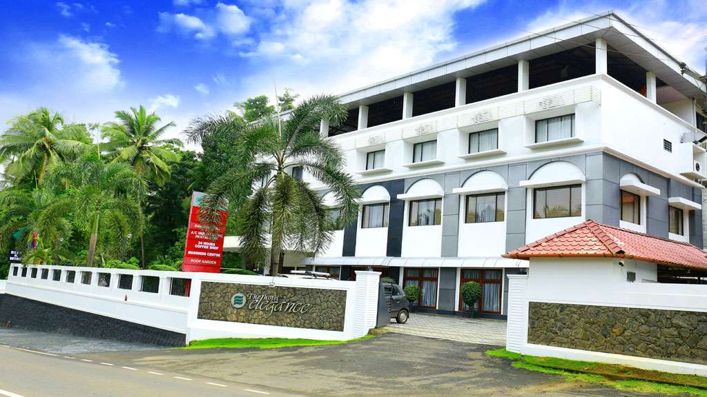
Kerala Tourism-classified 4-star hotel on the banks of the Tejaswini river at Karuvanchal, Alakode, in the eastern highlands of Kannur district. It offers luxury air-conditioned rooms and suites, a coffee shop, business centre and roof garden as an upmarket riverside base.
Registered Ayurveda and panchakarma hospital at Puracheri, Ezhilode, north of Kannur city. It provides physician-led classical Ayurvedic treatment, panchakarma therapy and rejuvenation programmes in a dedicated treatment facility rather than a hotel spa.
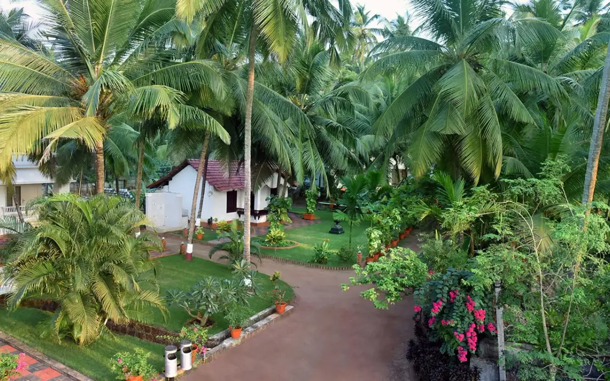
Ayurvedic spa and wellness centre at the Malabar Beach Resort on Thottada Beach south of Kannur city. It offers Ayurveda massage, therapy and rejuvenation packages in a palm-fringed seafront garden setting, aimed at travellers combining coast and wellness.
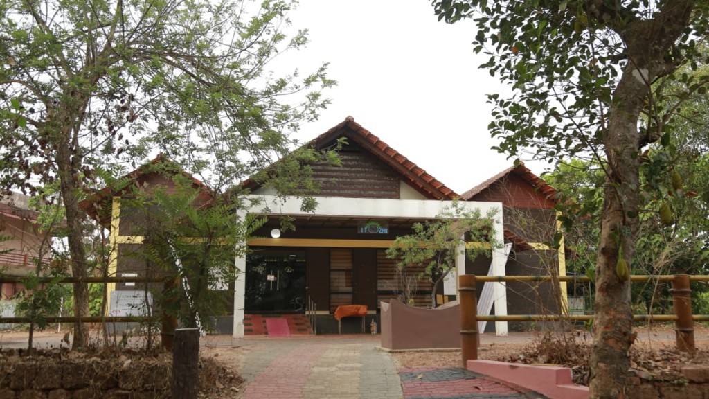
Kerala Tourism Ayur-Silver classified Ayurveda nursing home at Mayyil in Kannur district, run by the traditional Itoozhi Namboothiri Ayurveda family. It offers physician-led panchakarma, classical treatments and residential Ayurveda care rooted in a long Namboothiri lineage.
Affordable business hotel at Metro Tower, Thavakkara Road, in central Kannur, positioned by Kerala Tourism as meeting travellers’ needs at surprisingly affordable rates. It provides value air-conditioned rooms, a restaurant and city-centre access close to the railway station and bus stand.
Kerala Tourism-classified 2-star deluxe hotel opposite the Railway Muthappan Temple at Thavakkara in central Kannur, within walking distance of Kannur Railway Station. It offers affordable air-conditioned rooms, a restaurant and banquet facilities as one of the city’s most economical KT-classified hotels.
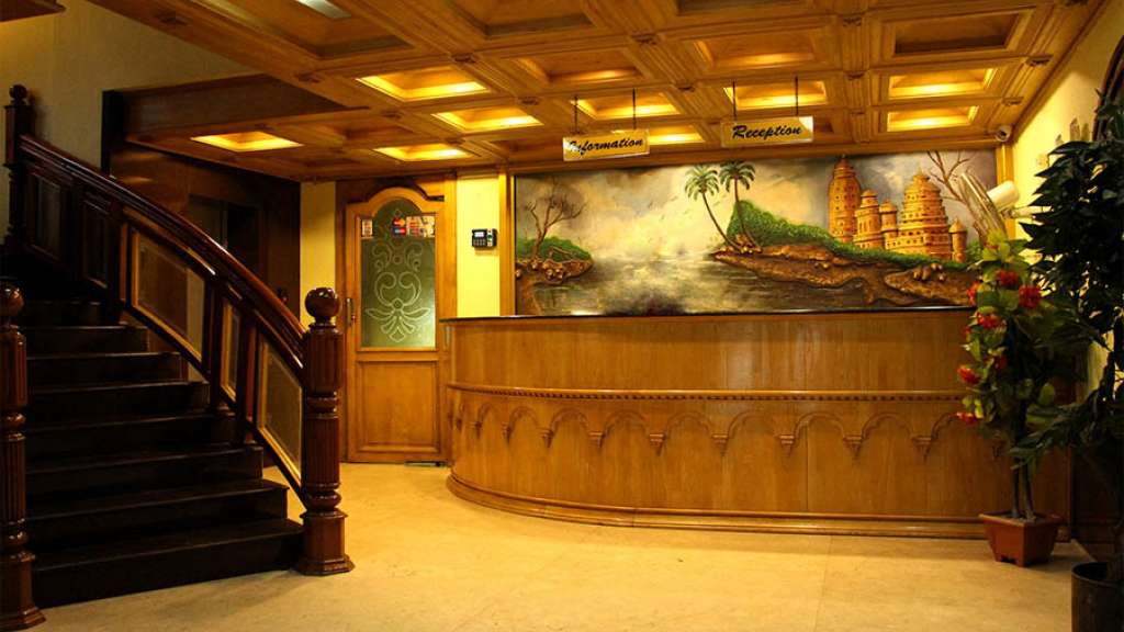
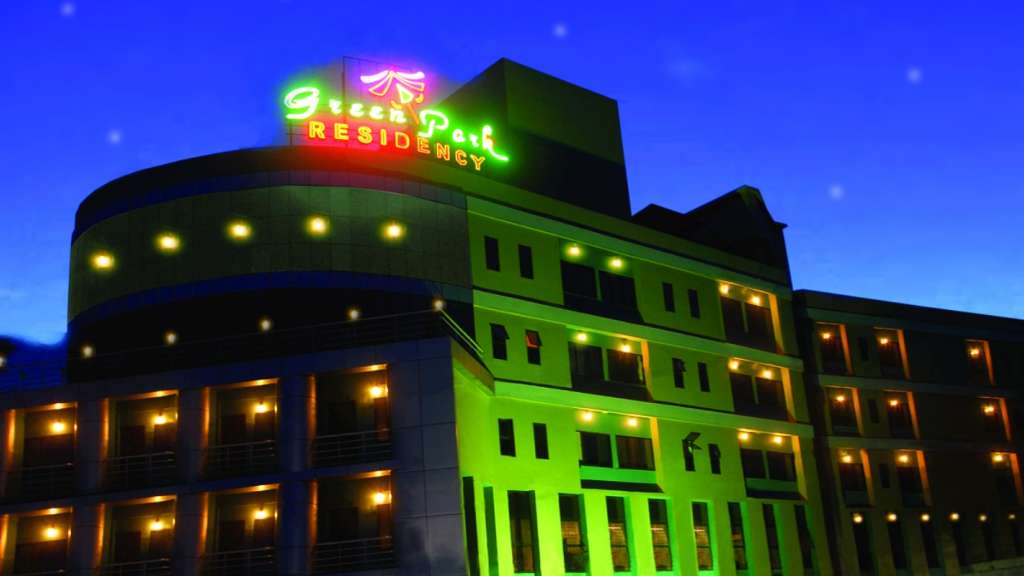
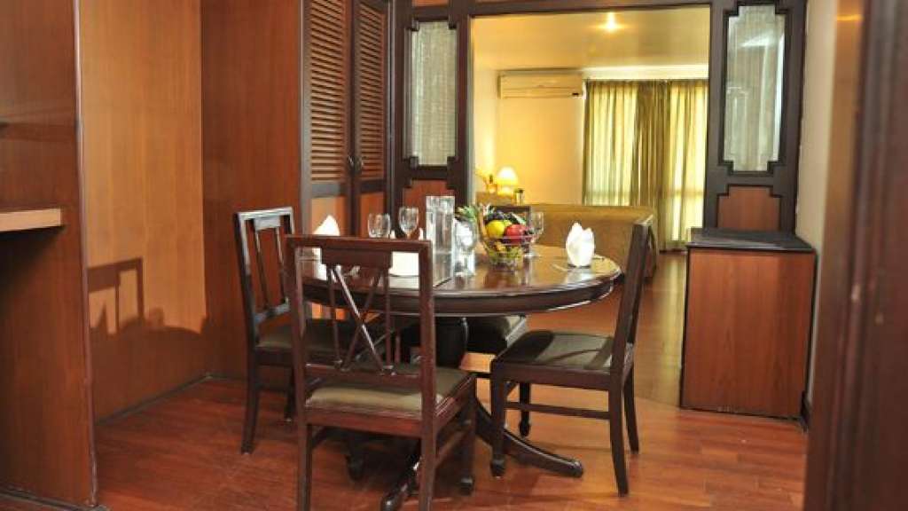
Kerala Tourism-classified three-star business hotel at Thavakkara in the heart of Kannur city, about a three-minute walk from Kannur Railway Station. It offers 42 air-conditioned rooms and suites, the multi-cuisine Barka Restaurant and a banquet hall, and is billed as the first three-star hotel in Kannur.
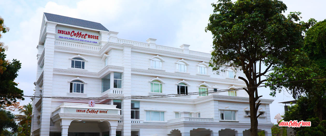
Indian Coffee House Kannur is the cooperative contact at M.H. Tower, Makkani, South Bazar. Choose the dining branch separately using the operator directory before requesting its menu, opening hours or a group booking.
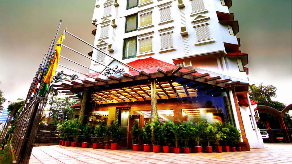
Kerala Tourism-listed hotel opposite Kannur railway station. Kannur railway station, Business hotel, City stay.
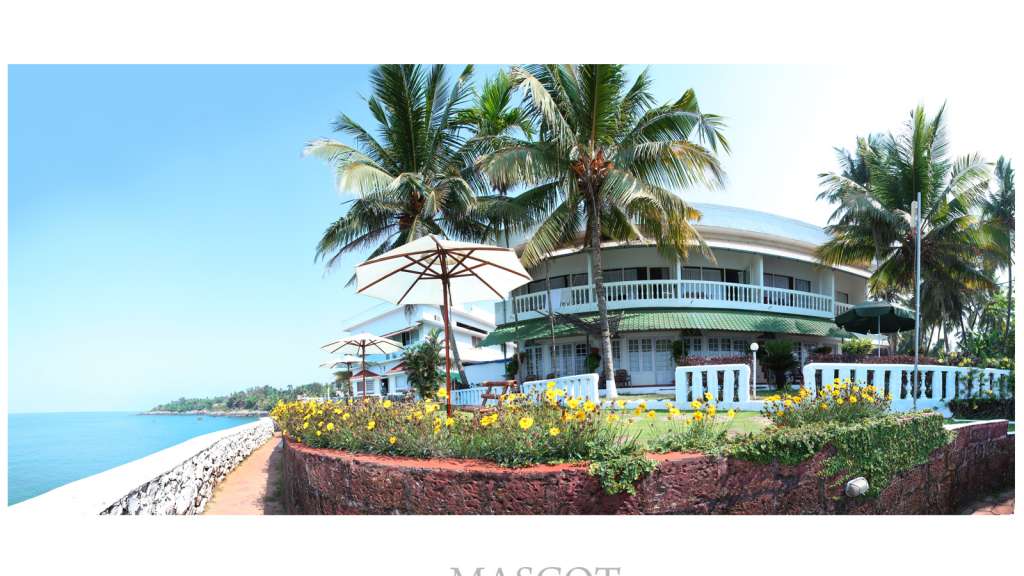
Kerala Tourism-listed cliff-facing beach resort near Kannur city. Mascot Beach Resort, Kannur resort, Sea view.
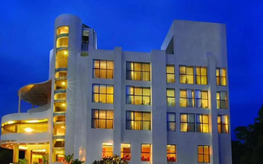
Kerala Tourism-listed four-star hotel on S.N. Park Road, Kannur. Kannur hotel, S N Park Road, City stay.
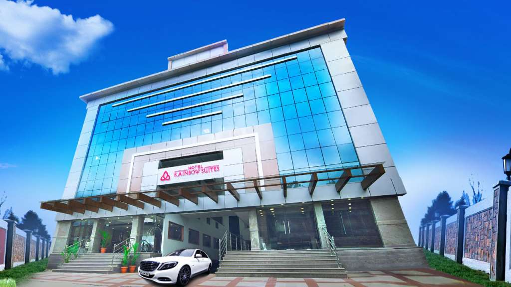
Kerala Tourism-listed four-star hotel near Thavakkara, Kannur. Kannur hotel, Thavakkara, City base.
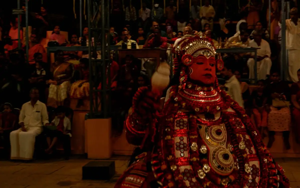
DTPC Kannur Theyyam Calendar is the responsible first check for seasonal Theyyam venues, dates and local timing before planning a ritual-arts itinerary. Kannur district, Kerala · Public calendar; confirm locally · Theyyam, Kannur culture, DTPC calendar.
St. Angelo Fort is Kannur city sea-fort anchor, best planned with current entry, timing, heat and nearby Payyambalam or Arakkal context checked before travel. St Angelo Fort, Kannur Fort, Heritage.
Café (burger, ice cream, indian, local, tea) on Thana Kakkad Road in Kannur City.
Restaurant (regional) on Kannur-Calicut-Valanchery Highway in Kannur City.
Cliff-top resort overlooking the Arabian Sea near Baby Beach. Over 30 rooms with a pool, Malabar restaurant and an in-house Ayurveda centre.
Book with the place itself. India’s cyber-crime coordination centre warned in April 2025 that convincing copies of hotel and pilgrimage booking sites are being pushed through sponsored search and social ads, taking payment for rooms the property never hears about. Use the contact and source details on each profile to confirm the exact business and booking channel. A directory entry or map pin alone does not establish an operator’s identity or current availability. Roampedia takes no commission and does not collect booking payments. If a booking page reached you through an ad, check the address bar against the property’s own site before you pay. Fraud can be reported on cybercrime.gov.in or on 1930.
Find food, accommodation and activities across Kannur city. Browse the guides for places to eat, stay and explore along your route.
8 more places around Kannur city. Open a guide to plan the visit and onward journey.
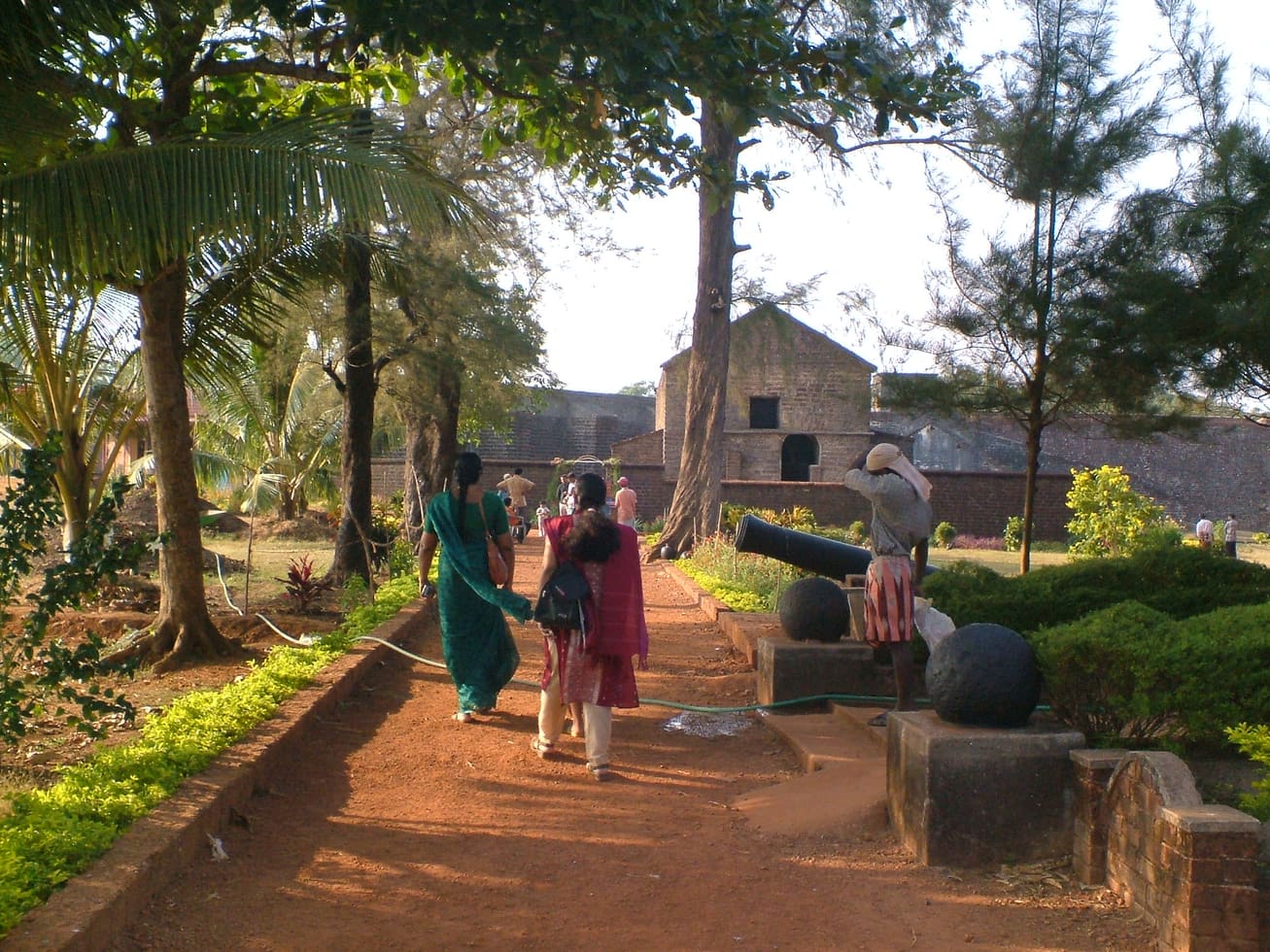
Sea-facing laterite fort built by the Portuguese in 1505, later held by the Dutch, the Arakkal royal house and the British — Kannur city’s great coastal landmark overlooking Mappila Bay.
35.6 km · straight line
The Arakkal Kettu (palace museum) of the Arakkal Ali Rajas — Kerala’s only Muslim royal house, matrilineal so ruled at times by a Beevi (queen).
35.7 km · straight line
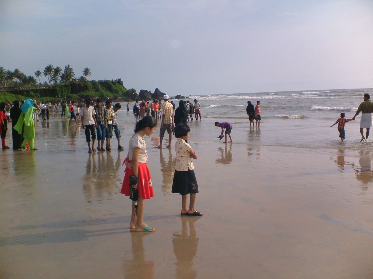
Kannur city’s main beach, with a landscaped garden, the mother-and-child sculpture and long sunset walkways.
20.3 km · straight line
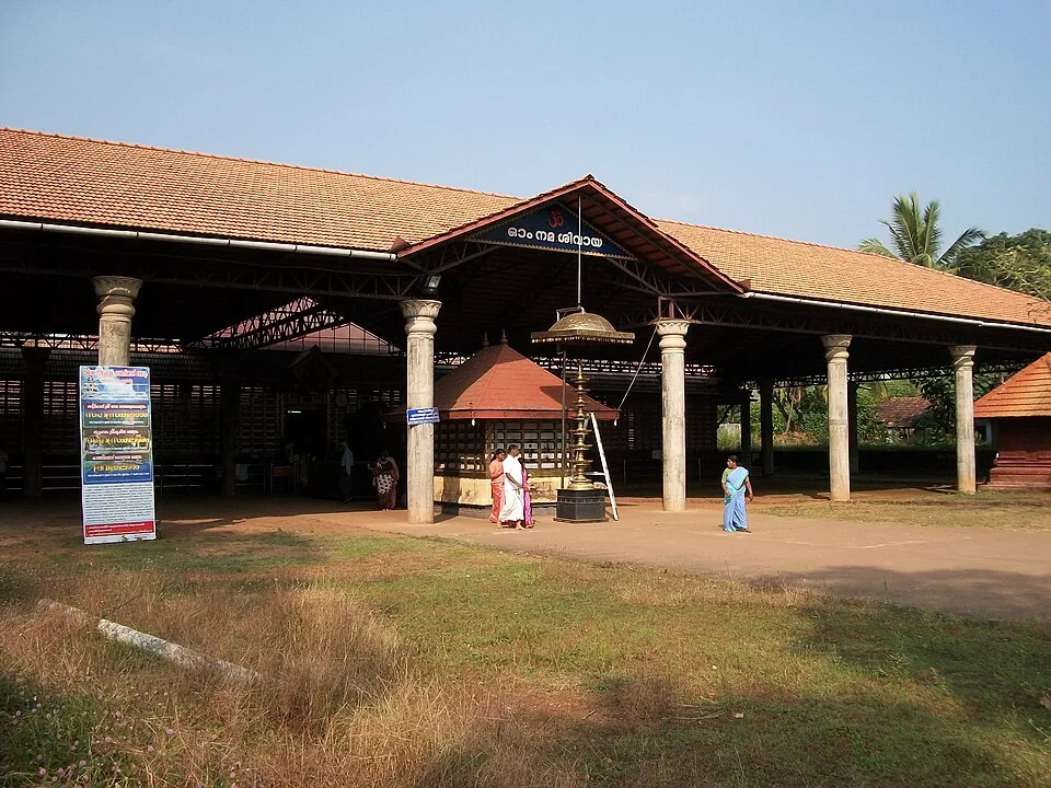
An ancient Shiva temple at Taliparamba, one of the 108 Shiva temples and the Dwadasha Shivalayams of old Kerala; men remove their shirt to enter and photography is restricted.
30.5 km · straight line
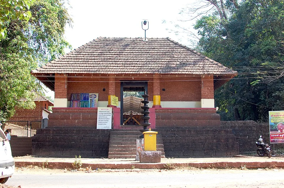
A Bhagavathy temple near Valapattanam regarded as the mother shrine of Kalaripayattu — Kerala’s martial art — where Theyyam is performed; the goddess is guardian of the kalari.
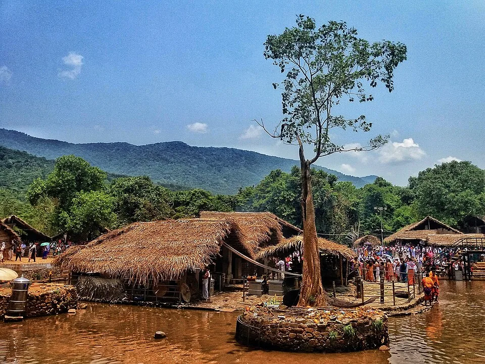
A remote forest Shiva shrine on the Bavali river, site of the ancient 28-day Kottiyoor Vaisakha Mahotsavam pilgrimage; the Akkare shrine has no permanent roof and is open only during the festival.
35.2 km · straight line
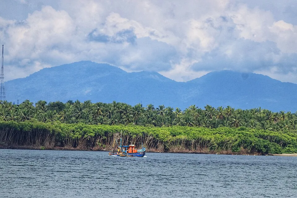
A dramatic 286 m headland near Payyannur, now home to the Indian Naval Academy — the hill itself is off-limits, but the beach and views below are open; rich in legend and rare herbs.
22.1 km · straight line
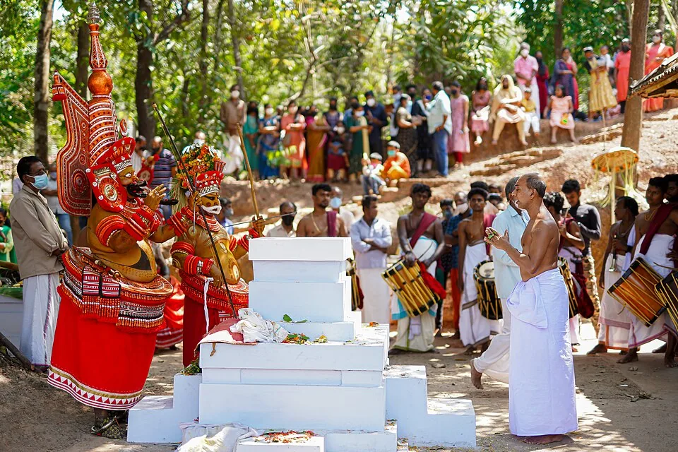
A man of the Vannan or Malayan community is painted, dressed and crowned until the shrine treats him as the deity, and the people who come kneel to someone most of them would not have eaten beside within living memory. The season is set by the Malayalam calendar — the tenth of Thulam, about mid-October, to the middle of Edavam at the end of May — and outside it the kavus are quiet. The exception is Parassinikkadavu, north of the city, where Muthappan is performed most mornings and evenings for most of the year, though it too stops for six weeks each autumn. These are rituals, not ticketed shows.
Roampedia is commission-free — own or know a stay, eatery, guide or shop near Palakkayam Thattu? Submit public business details for review.
Add a nearby businessEntry: A nominal entry ticket of about ₹40 per adult and ₹10 per child, plus separate parking charges for two- and four-wheelers; the jeep ride to the top (around ₹700 for a round trip, shared among passengers) and each adventure activity are charged additionally.
Festivals: There are no festivals on the plateau itself; the nearest major religious event is the seasonal Kottiyoor Vaisakha Mahotsavam at the forest shrines of Kottiyoor, in the same eastern hill belt of Kannur, held over roughly a month around May to June.
Photography: A superb spot for photography — wide-angle landscape shots through the cement frames, sunrise and cloud-sea images, and action shots on the swing and zip-line. Light is best at dawn and dusk. Note that drone flying is restricted and generally requires prior police permission, so do not assume you can fly one.
If you are travelling by bus or ferry, check the return service with the operator before setting out. Leave time to reach the stop or jetty after your visit.
Ask at the bus stand for the time of the last service back, not the next one. If you miss it, an auto or app cab is the fallback — agree the fare before you get in.
If you need step-free access, contact the site before travelling. Ask about a level entrance, steps along the route, the nearest drop-off point, seating and accessible toilets.
Published emergency and visitor-assistance contacts. For an immediate emergency, call 112. Shared Kerala contact sources checked 4 October 2026; publication does not establish a tested live response.
An ancient Shiva temple at Taliparamba, one of the 108 Shiva temples and the Dwadasha Shivalayams of old Kerala; men remove their shirt to enter and photography is restricted.
20.3 km · straight line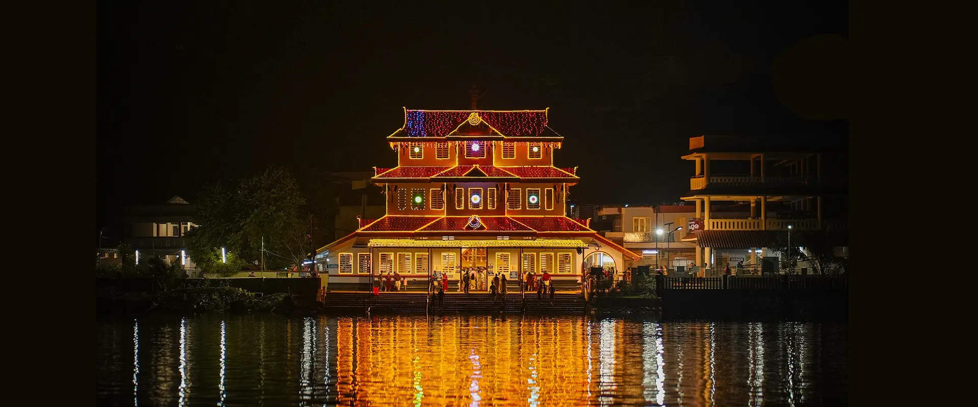
On the Valapattanam river, the temple of Muthappan — where the Muthappan Theyyam is performed morning and evening on nearly every day of the year, and where entry is open to all castes and religions; a snake park is nearby. The exception is the six weeks from the first of Thulam to the fifteenth of Vrischikam, when it stops, and the ritual year begins again with Puthari Thiruvappana around the first of December.
22.1 km · straight lineThe ritual season of north Malabar, in which a man of the Vannan or Malayan community is dressed, painted and crowned until the shrine treats him as the deity itself. It runs from the tenth of Thulam, about mid-October, to the middle of Edavam at the end of May, at kavus and household shrines rather than on any stage, and the peak is January to April. Outside the season the kavus are quiet — the exception is Parassinikkadavu, north of the city, which performs Muthappan on a fixed daily schedule and is the anchor this page is pinned to.
22.1 km · straight line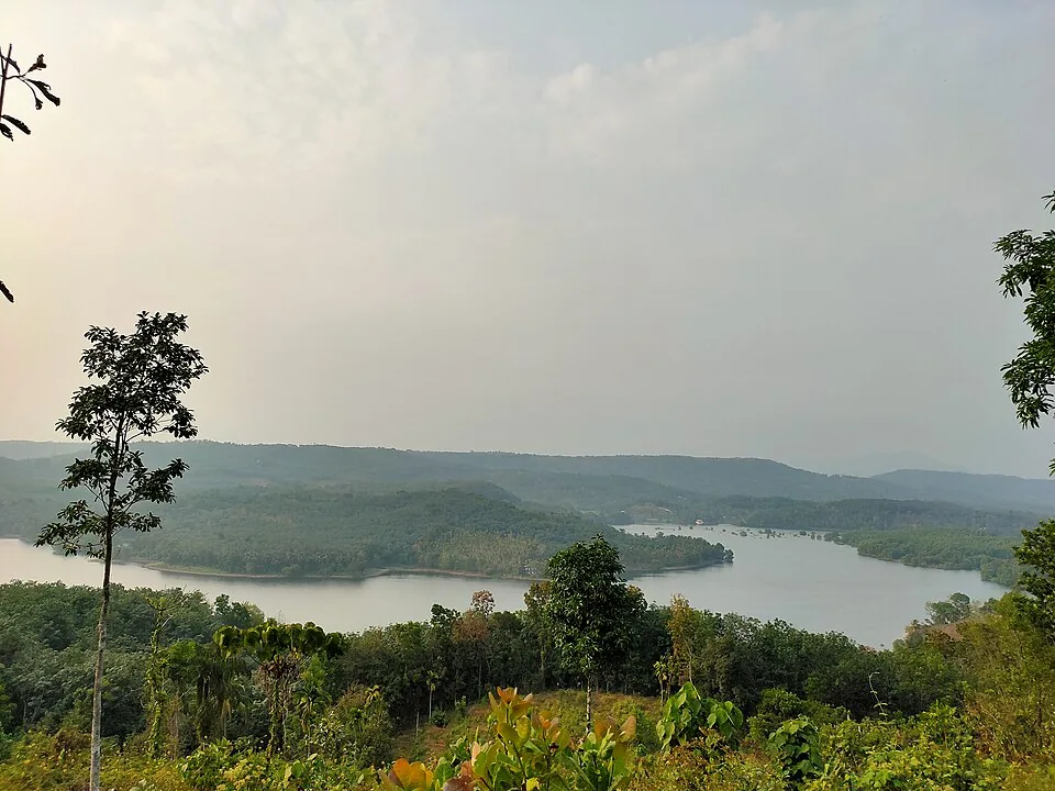
An earthen dam on the Valapattanam river near Mattannur, with a garden, boating and a hanging bridge — named after the freedom-fighter king Pazhassi Raja.
22.3 km · straight lineA Bhagavathy temple near Valapattanam regarded as the mother shrine of Kalaripayattu — Kerala’s martial art — where Theyyam is performed; the goddess is guardian of the kalari.
30.5 km · straight line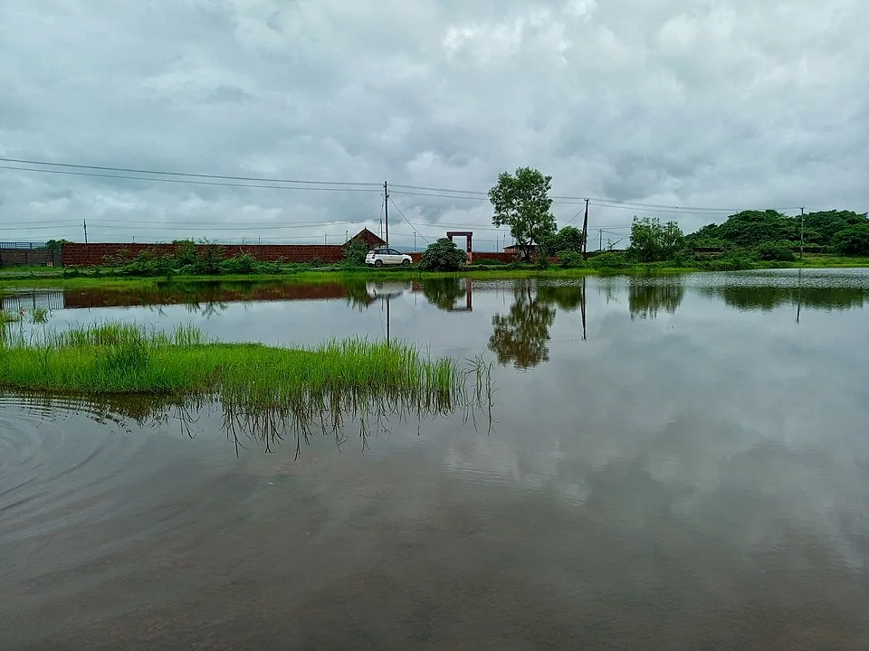
A vast laterite plateau near Pazhayangadi that bursts into wildflower bloom after the monsoon, with the Madayi Kavu, an old mosque and a temple pond — a botanist’s and birder’s hill.
30.6 km · straight line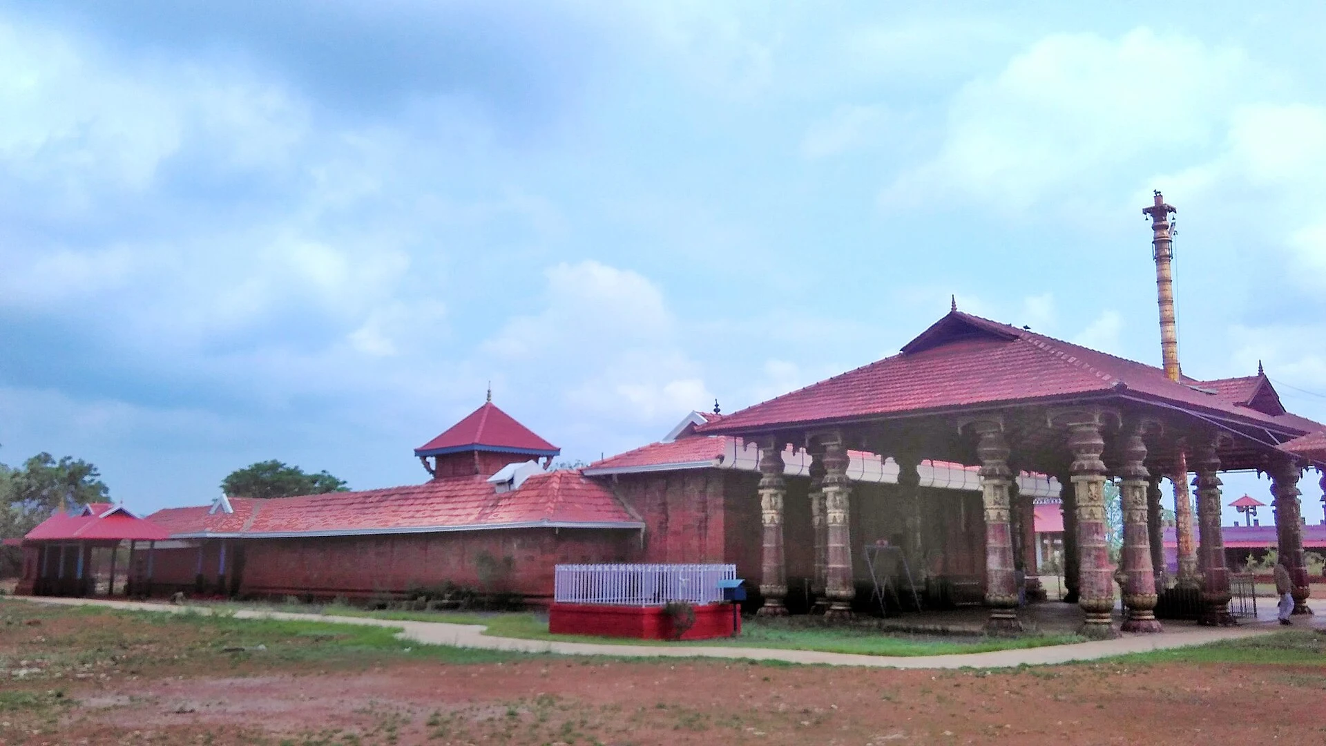
Madai Sree Vadukunda Siva Temple is the Shiva shrine beside the laterite plateau and sacred pond at Madayipara, near Pazhayangadi in Kannur. It is distinct from Thrissur’s Vadakkunnathan and from nearby Madayikavu.
30.9 km · straight lineA dramatic 286 m headland near Payyannur, now home to the Indian Naval Academy — the hill itself is off-limits, but the beach and views below are open; rich in legend and rare herbs.
35.2 km · straight lineThe Arakkal Kettu (palace museum) of the Arakkal Ali Rajas — Kerala’s only Muslim royal house, matrilineal so ruled at times by a Beevi (queen).
35.6 km · straight lineKannur city’s main beach, with a landscaped garden, the mother-and-child sculpture and long sunset walkways.
35.7 km · straight line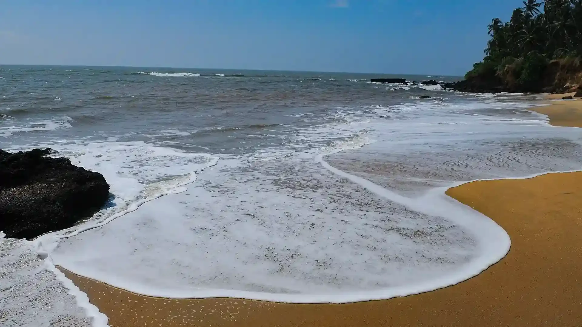
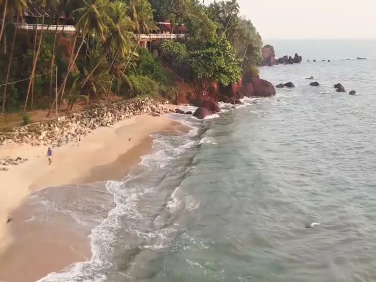
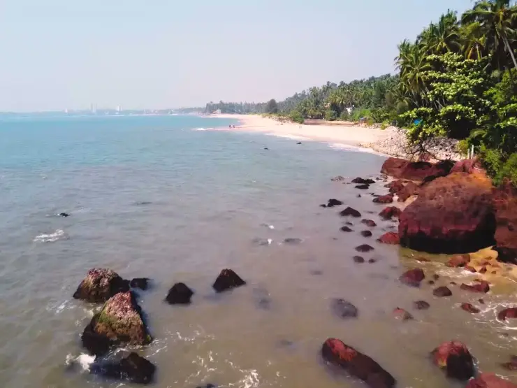
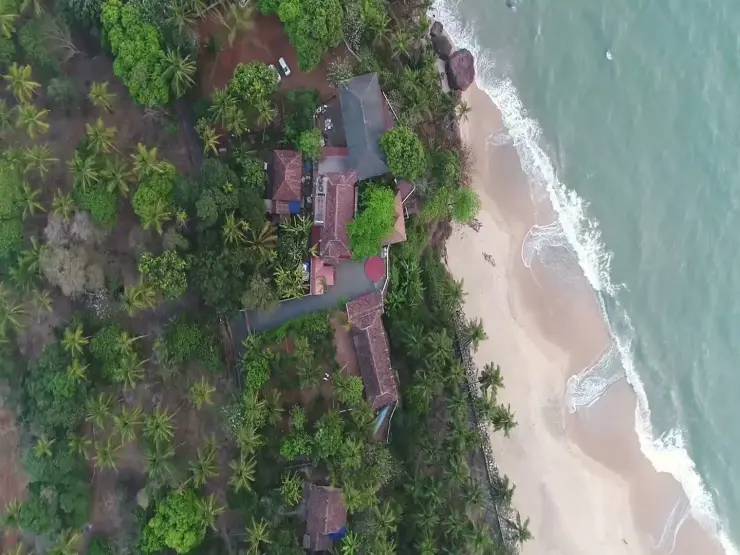
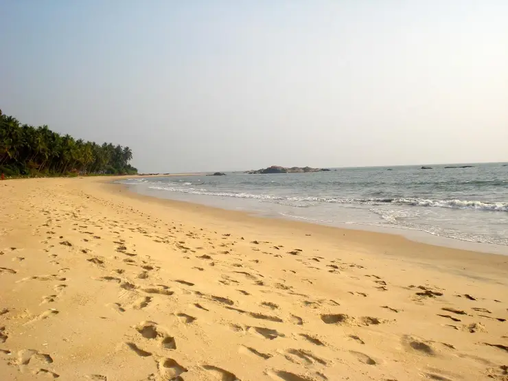
Adikadalayi Beach, also called Kadalayi Beach in Kerala’s coastal tourism study, is a Kannur shore with sandy pockets, exposed red coastal rock and palms above the water. It belongs to the Adikadalayi locality, not the separately named Thottada, Kizhunna or Ezhara beaches farther along the coast. Use the mapped public steps from Tippu Sulthan Beach Road as the arrival reference. Nearby cliff-side homestays have their own entrances and facilities, and should not be used as assumed public access.
36.3 km · straight lineIt is a grassland plateau in the Western Ghats of eastern Kannur district, Kerala, at an altitude of roughly 3,500 ft. It lies in the district’s interior hill belt, around 50 km from Kannur city and reached through towns such as Taliparamba and Iritty, with the plateau often described as the second-highest viewpoint in Kannur after Paithalmala.
Effectively, yes, unless you are a confident hiker. The tarred road ends at a lower jeep stand, and the final stretch of roughly 2 km up to the plateau is extremely steep and rough — really only suitable for a proper 4×4. Local Mahindra jeeps run visitors up and down for a fixed fare; fit walkers can instead hike the last section in about 30 minutes.
The giant swing is a large swing set near the plateau’s edge that arcs you out over the slope with the valley falling away beneath — the site’s most photographed thrill. Alongside it are a zip-line, zorbing balls, a rope crossing, archery and an air-rifle shooting range, plus tent camping. Individual activities are charged separately.
Yes. Camping is one of the main draws, with cemented tent platforms inside the fenced area and packages that typically bundle tents, meals, a bonfire and activities. Staying over lets you catch the sunrise and the valley cloud-seas that day visitors miss. Book with an operator in advance, as arrangements and prices vary.
The clearest, most reliable views come in the post-monsoon and winter months, roughly October to February. The monsoon leaves the meadow lush and green but the steep track becomes difficult and risky. Mist is part of the experience year-round — it can roll in and hide the panorama within minutes — so aim for early morning or late afternoon and be prepared to wait for the cloud to lift.
The plateau itself is walkable and has benches and open grassland, but the very steep jeep ride, the unfenced drops beyond the barriers, the strong sun and the thin, cool air mean small children and less mobile visitors need close supervision and sturdy footwear. The adventure activities have their own age and fitness limits set by the operators.
Clear post-monsoon and winter days are best; mist can block views in hill areas.
Entry: A nominal entry ticket of about ₹40 per adult and ₹10 per child, plus separate parking charges for two- and four-wheelers; the jeep ride to the top (around ₹700 for a round trip, shared among passengers) and each adventure activity are charged additionally. Timings: Generally open daily from around 6:00 am, with last entry in the early evening and the site clearing by nightfall; camping guests stay on overnight by arrangement.
Base yourself in Kannur city or a nearby town in Kannur, then confirm the last-mile route locally before leaving. Go early for clearer light and easier parking; sunset viewpoints can crowd quickly. If the visit depends on forest, temple, boat, ferry, weather or seasonal access, check the official/local rule on the day before travel.
45 minutes to 2 hours.
Nearby you can pair Paithalmala trek (6.7 km, approximate straight-line separation), Rajarajeswara Temple, Taliparamba (20.3 km, approximate straight-line separation), Parassinikadavu Muthappan Temple (22.1 km, approximate straight-line separation), Theyyam performances (22.1 km, approximate straight-line separation).
Stay behind barriers and away from cliff edges. Avoid viewpoints during lightning or heavy rain.
We have not published a story about Palakkayam Thattu itself yet. These cover Kannur city and the wider district, with separate journeys between stops.
Route-level itineraries and practical guides for the rest of Kerala.
Photographs: Jomichael365 (CC BY-SA 4.0), Dvellakat (CC BY-SA 4.0), Ashiqpt2010 (CC BY-SA 4.0). Wikimedia Commons.