What to expect
Highlights
- Island landscape around Dharmadam Island
- Backwater/coastal village life
- Boat routes, homestays and local food
A small green private island off Muzhappilangad, reachable on foot across the sand at low tide (viewing only; landing is restricted).
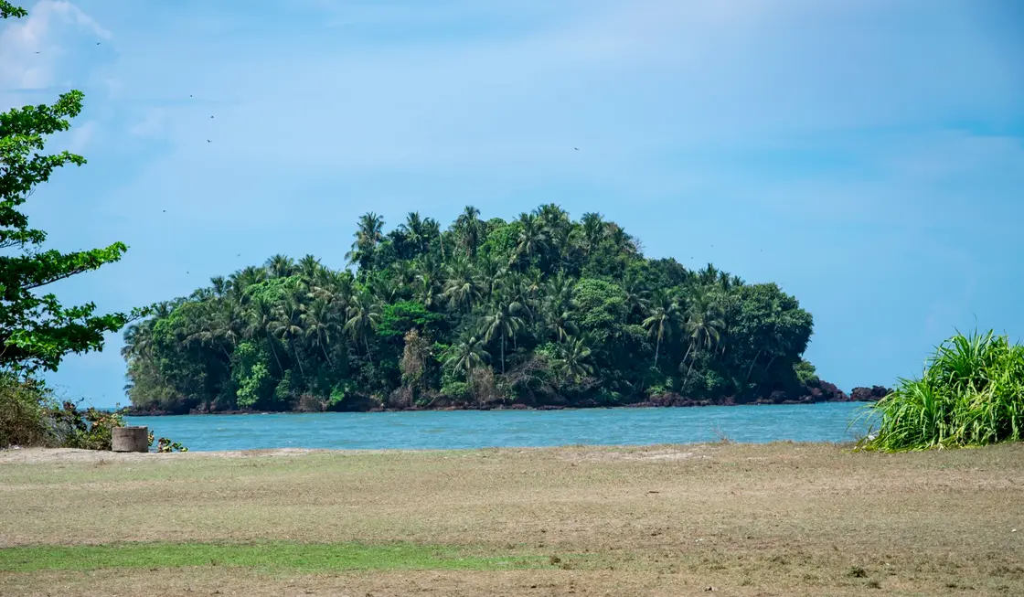
A five-acre emerald of coconut palm and thicket that floats just offshore near Thalassery — reachable, when the tide draws back, by a walk across the wet sand.
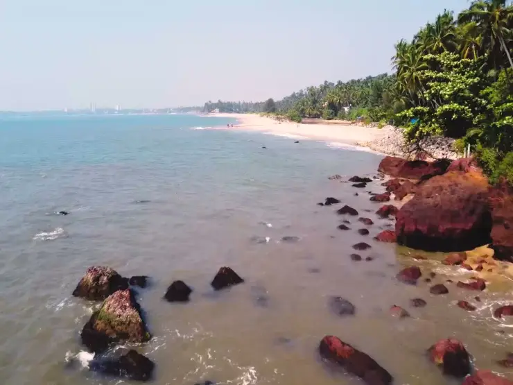
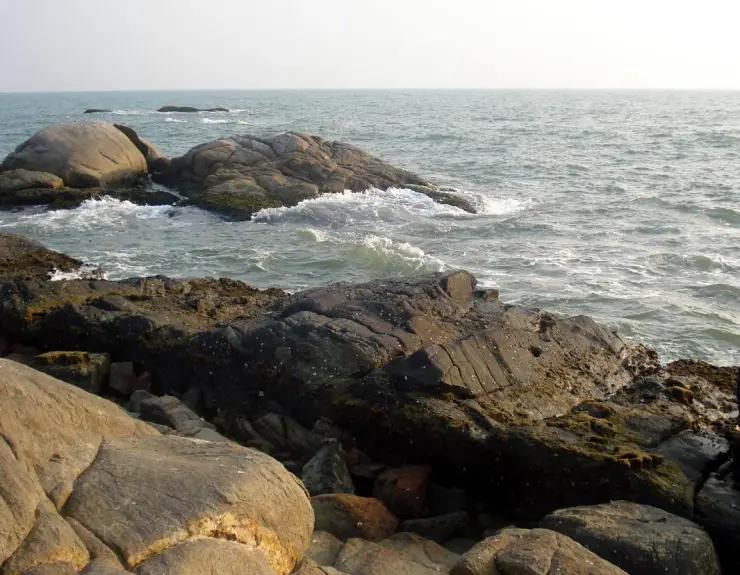
Look out from the northern end of Muzhappilangad — India’s famous drive-in beach — and you cannot miss it: a low, densely wooded islet crouched perhaps a hundred metres off the Dharmadam shore, so smothered in coconut palms and green scrub that locals simply call it Pachathuruth, the Green Island. It is tiny, barely five acres (about two hectares), yet it holds the eye precisely because it looks like a secret the coastline is keeping — a self-contained little world of shade and leaf ringed by bright water.
The magic of Dharmadam is in its tides. For most of the day the island sits marooned in shallow sea and river, but when the water pulls back at low tide a pale ribbon of sandbar surfaces, and it becomes possible to walk out to it through ankle-to-knee-deep water. That crossing — bare feet on rippled sand, the island growing closer with every step — is the whole romance of the place. It is also its warning: the sea returns, and the window is short.
Water surrounds it on every side, but not all the same water. Two rivers — the Anjarakandy and the Thalassery (Dharmadam) puzha — reach the coast here, so the island sits in a brackish meeting-place where river current and Arabian Sea swell mingle. On three sides it is river; on the fourth, open sea. Stand on the sandbar at the confluence and you can watch fresh water and salt water braid together, a quiet estuarine drama that draws fish, and the migratory birds that come to feed on them.
Set foot ashore — where permitted — and the light changes. The canopy of coconut palms and bushes throws deep shade, and the undergrowth is famously tangled: locals speak of medicinal herbs among the greenery, and of the nanchu, a poison tree traditionally used in fishing. There are no shops, no crowds, no built-up promenade; the pleasure is the plainness of it, the sense of stepping onto a scrap of coast that time and traffic forgot.
That secrecy is real in another sense, too. Dharmadam Island is privately held ground, and you cannot simply wander across and treat it as your own — entry is restricted and generally needs prior permission. So for many visitors the island is best enjoyed as a view and a walk to the water’s edge: the palm-fringed silhouette from the Muzhappilangad drive-in sands, the sandbar at low tide, the estuary shimmering, the sun sinking behind the treeline.
It rewards the unhurried. Come in the cool months, time your visit to a falling tide, bring a camera and no expectations, and pair it with Thalassery just down the road — the old fort, the fishing pier, the town that gave the world Malabar biryani. Dharmadam is not a place you conquer; it is a place you glimpse, walk toward, and let the returning sea gently send you home from.
The island’s name carries an old and evocative tradition. Dharmadam was known in earlier times as Dharmapattanam, and local and popular history hold that this was once a Buddhist stronghold — the very word Dharma pointing back to that faith’s presence on this coast. Tradition tells that Buddha images were unearthed in the area, and the name is often read as a memory of a vanished Buddhist settlement, a hint of Kerala’s ancient and largely lost Buddhist past woven into an otherwise unremarkable strip of shore.
The historical thread most often pulled here is the name itself. Dharmadam derives from the older Dharmapattanam, and the district’s own tourism accounts describe this as having been a Buddhist centre in antiquity, with Buddha images reportedly excavated from the locality. How grand that settlement was is uncertain and hard to verify, but the name-origin and the tradition of a Buddhist past are consistently repeated in accounts of the place.
The coast around Dharmadam surfaces repeatedly in medieval and colonial records under a shifting set of names, which tells you it mattered to traders. Jewish and Arab sources of the twelfth century are said to have recorded it as Dahfattan; the Portuguese later rendered it as Darmapatao (Darmapatam), and the British as Dharmapatam — the same place refracted through the languages of everyone who came to trade on the Malabar coast.
That trading context is inseparable from neighbouring Thalassery (Tellicherry), which grew into one of Malabar’s key ports and a hub for pepper, spices and, under the British East India Company, a fortified trading post. Dharmadam Island sits in the shadow of that history, a stone’s throw from the town whose fort, pier and spice trade shaped this whole stretch of the northern Kerala coast.
In modern times the island has been treated as a tourism asset. It has long been noted as private property, but reports describe the Government of Kerala moving to develop its tourism potential from the late 1990s, with the District Tourism Promotion Council (DTPC) associated with its management — details that are worth confirming locally, as accounts vary and access remains restricted on the ground.
Development has been fitful. A tourist facility on the island reportedly opened around 2013 but was then neglected for years, and more recently a large integrated tourism project for the Dharmadam–Muzhappilangad stretch — including nature-hub and elevated-walk ideas — has been announced. Because these plans and the island’s exact access arrangements keep changing, treat anything about entry, ownership and facilities as provisional and check on the spot before you go.
One of Kerala’s most photogenic little islands — a five-acre cushion of coconut palm you can actually walk out to at low tide.
The rare thrill of a tidal sandbar crossing — bare feet, shallow water, the island drawing closer with each step.
A genuine river-meets-sea estuary, where the Anjarakandy and Thalassery rivers braid into the Arabian Sea.
Right beside Muzhappilangad, India’s celebrated drive-in beach, so the island view comes bundled with a legendary stretch of sand.
A whisper of Kerala’s ancient Buddhist past in the name Dharmapattanam — history you can stand next to.
Easy to fold into a Thalassery day — fort, fishing pier and the birthplace of Malabar biryani are minutes away.
Road km to Kannur; ghat roads and traffic vary — allow extra.
Dry-season mornings and late afternoons are most comfortable.
Live forecast loads in your browser.
Check the official alert before you travel. Kerala’s beaches, waterfalls and trekking routes close at short notice during heavy rain, and district alert levels change day to day. We do not publish an alert level of our own — read it from the state authority: Kerala State Disaster Management Authority, or the district control room on 1077.
Sun and moon are calculated for this location and shown in IST. Photography windows are the hour around sunrise and sunset; the sunset bearing is degrees clockwise from true north. Moon phase is accurate to about half a day.
Verified hotels, homestays, restaurants, experiences, sights, shops and rentals around Dharmadam Island — commission-free, with direct contact. Filter by what you need.
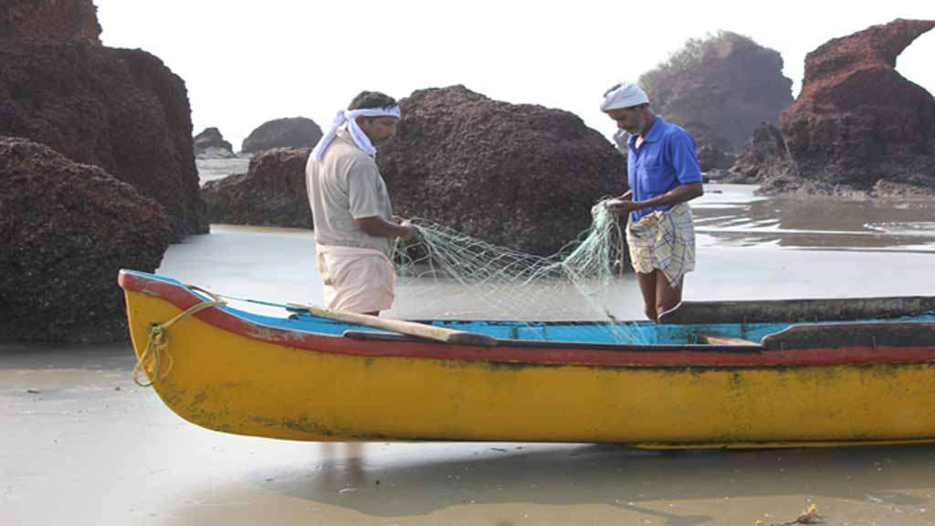
Kerala Tourism-listed beach home at Dharmadom near Thalassery. Dharmadom stay, Thalassery homestay, Beach Road.

Hotel in Muzhappilangad and Thalassery. Venus Corner, NH 66, near Co-operative Hospital Road, Palissery, Thalassery, Kerala 670101 · Thalassery hotel, NH 66, Palissery.
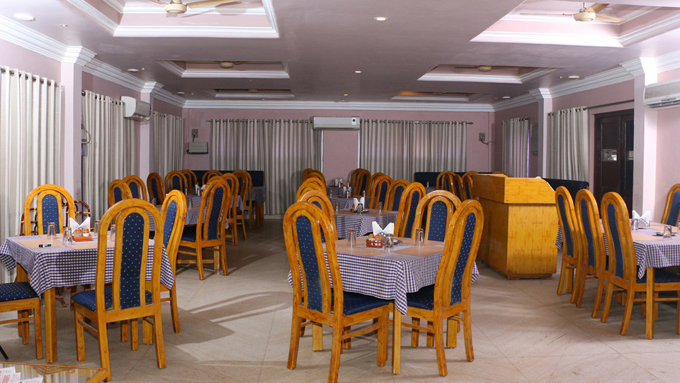
Hotel and biryani restaurant in Muzhappilangad and Thalassery. Paris Presidency, Logans Road, Thalassery, Kerala 670101 · Thalassery hotel, Logans Road, Biryani.
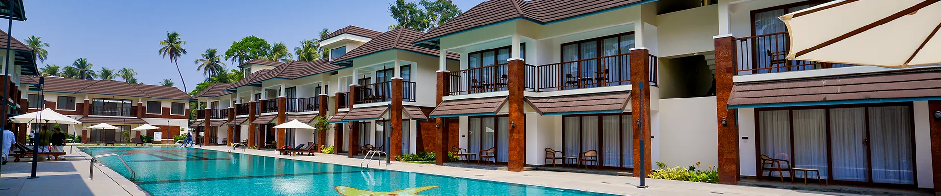
Direct KTDC premium resort at Muzhappilangad Drive-in Beach. Contact KTDC · KTDC, Muzhappilangad, Drive-in beach stay.
Hotel and restaurant in Thalassery's heritage quarter, open since 1993. Home of the legendary Paris Biryani, a Malabar dum recipe running since 1942.
Business-class hotel on NH66 in Thalassery town by the Koduvally river. Offers deluxe rooms, suites and a 400-guest banquet hall for weddings.
Beachfront resort just 100 metres from Muzhappilangad drive-in beach. The owner sources fresh daily seafood catches for guests from local markets.
Seaside resort set directly in front of Muzhappilangad drive-in beach. Rooms and suites have kitchenettes and sea-view balconies over the Arabian Sea.
Homestay-style resort near Thalassery with a pool and in-house Malabar kitchen. Set at Eranholi, a short drive from St. Angelo Fort and the drive-in beach.
Business-class hotel near Thalassery's new bus stand in the historic town. Air-conditioned rooms and executive suites with modern amenities.
Homestay in Muzhappilangad and Thalassery. Thalassery homestay, Chettamcoon, Kerala Tourism listed.
Beach resort in Muzhappilangad and Thalassery. Drive-in Beach, Muzhappilangad, Edakkad, Kerala 670662 · Muzhappilangad stay, Drive-in beach, Edakkad.
Book with the place itself. India’s cyber-crime coordination centre warned in April 2025 that convincing copies of hotel and pilgrimage booking sites are being pushed through sponsored search and social ads, taking payment for rooms the property never hears about. Every listing here links to the business’s own contact details and its own Google or Bing profile — we take no commission and sit in nobody’s payment path. If a booking page reached you through an ad, check the address bar against the property’s own site before you pay. Fraud can be reported on cybercrime.gov.in or on 1930.
Find food, accommodation and activities across Muzhappilangad and Thalassery. Browse the guides for places to eat, stay and explore along your route.
4 more places around Muzhappilangad and Thalassery. Open a guide to plan the visit and onward journey.
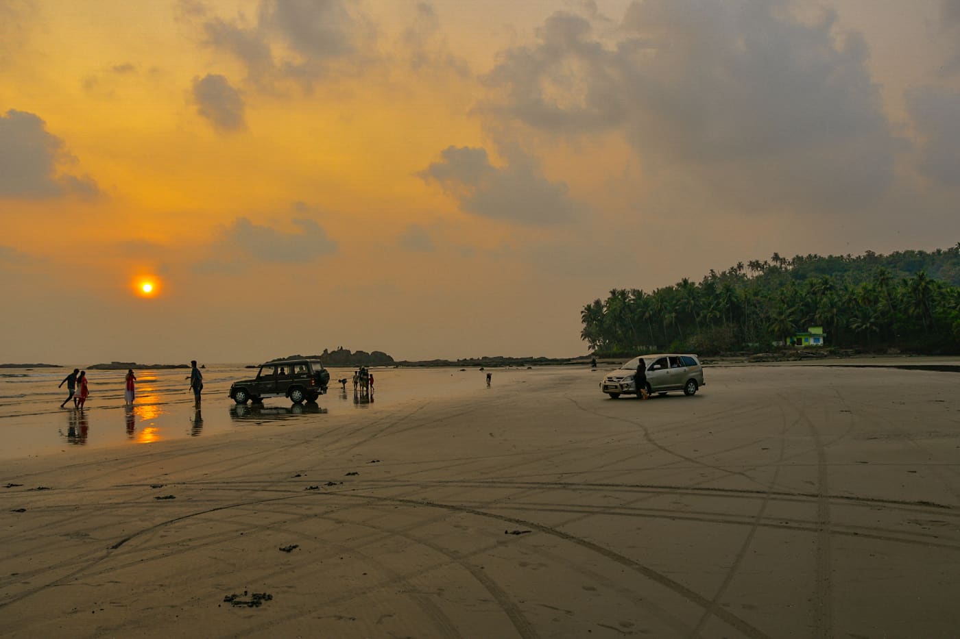
3.1 km · ~8 min by auto
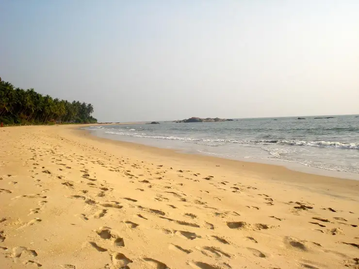
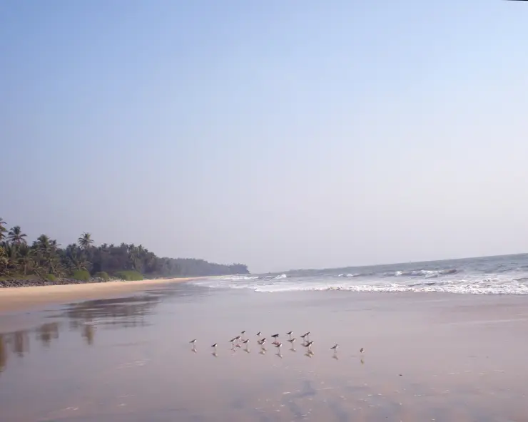
A ~4 km hard-sand beach, the longest drive-in beach in India — you can drive along the sand at low tide; Dharmadam Island lies just offshore.
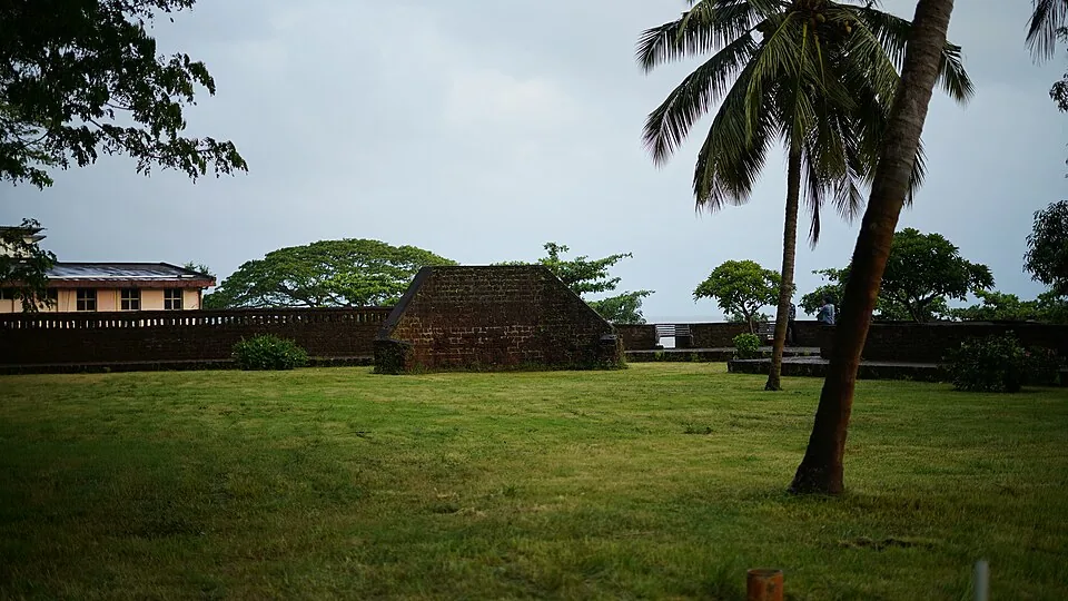
4.6 km · ~11 min by auto
A square laterite fort built by the English East India Company in 1708 at Thalassery (Tellicherry), heart of the old Malabar pepper and cricket town, with secret sea tunnels.
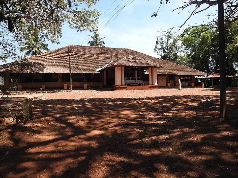
3.3 km · ~8 min by auto
At Illikkunnu near Thalassery, the hillside home of the German missionary-scholar Hermann Gundert, who compiled the first Malayalam–English dictionary and grammar here in the mid-1800s.
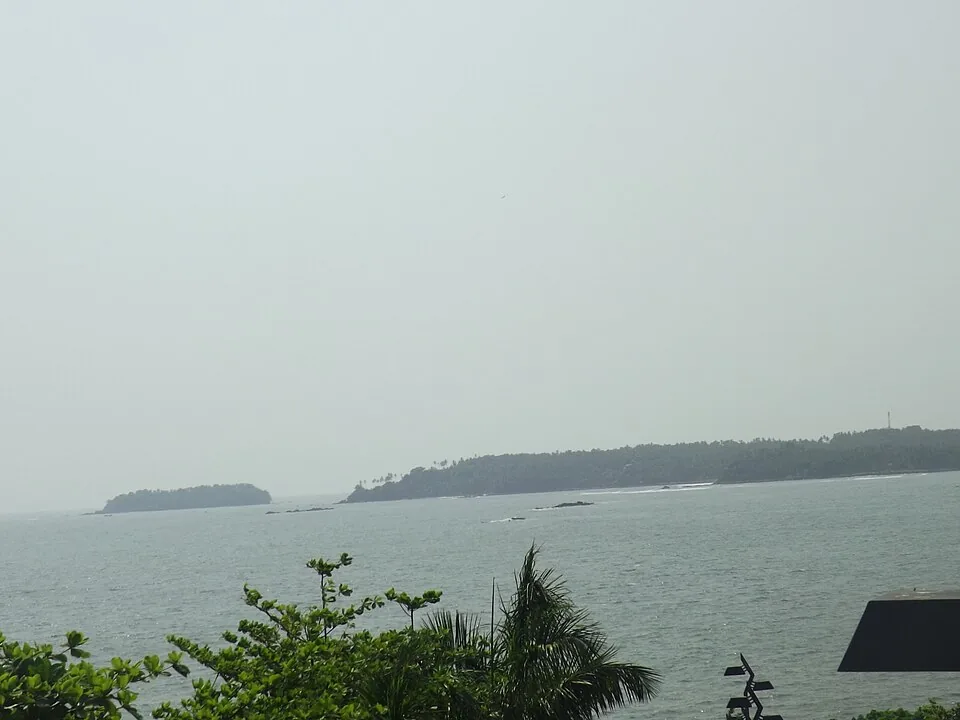
4.3 km · ~11 min by auto
A cliff-top garden viewpoint over the sea at Thalassery, named after E.N. Overbury, a British judge of the 1870s who began but never finished a mansion here.
Roampedia is commission-free — own or know a stay, eatery, guide or shop near Dharmadam Island? List it and it appears here once verified.
Add a nearby businessEntry: No publicly advertised entry ticket — the island is private property rather than a standard ticketed site. Any cost is typically for boat transfer or a guided visit, paid directly to the operator; figures quoted online are indicative only (confirm locally).
Photography: Superb for photography — the palm-covered islet, the low-tide sandbar, the river-and-sea confluence and sunsets over the treeline all shoot beautifully. Golden hour from the Muzhappilangad/Dharmadam shore is the classic frame. Respect that the island itself is private property when composing shots.
If you are travelling by bus or ferry, check the return service with the operator before setting out. Leave time to reach the stop or jetty after your visit.
Ask at the bus stand for the time of the last service back, not the next one. If you miss it, an auto or app cab is the fallback — agree the fare before you get in.
If you need step-free access, contact the site before travelling. Ask about a level entrance, steps along the route, the nearest drop-off point, seating and accessible toilets.
Emergency numbers are verified against official government and state tourism sources. 112 works anywhere in India.
A ~4 km hard-sand beach, the longest drive-in beach in India — you can drive along the sand at low tide; Dharmadam Island lies just offshore.
3.1 km · ~8 min by auto · straight lineAt Illikkunnu near Thalassery, the hillside home of the German missionary-scholar Hermann Gundert, who compiled the first Malayalam–English dictionary and grammar here in the mid-1800s.
3.3 km · ~8 min by auto · straight lineA cliff-top garden viewpoint over the sea at Thalassery, named after E.N. Overbury, a British judge of the 1870s who began but never finished a mansion here.
4.3 km · ~11 min by auto · straight lineA square laterite fort built by the English East India Company in 1708 at Thalassery (Tellicherry), heart of the old Malabar pepper and cricket town, with secret sea tunnels.
4.6 km · ~11 min by auto · straight line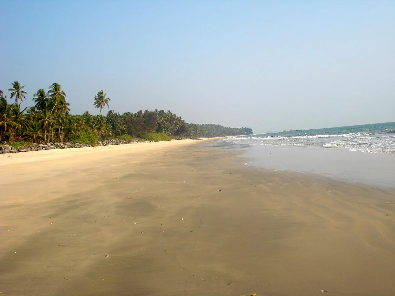
Kizhunna’s sandy shore lies between Thottada and Ezhara, with palm-backed village edges and the Cherakallu rock formations breaking up the coastline.
7.9 km · ~20 min by auto · straight line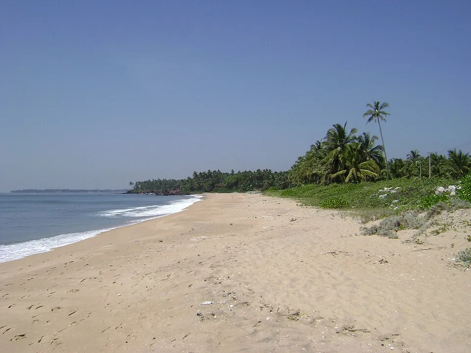
A quiet, unspoilt cove-and-stream beach south of Kannur city, known for its homestays and calm, uncrowded sands.
8.8 km · ~15 min by cab · straight line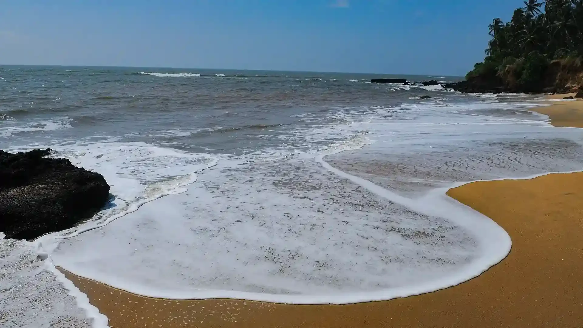
Adikadalayi Beach, also called Kadalayi Beach in Kerala’s coastal tourism study, is a Kannur shore with sandy pockets, exposed red coastal rock and palms above the water. It belongs to the Adikadalayi locality, not the separately named Thottada, Kizhunna or Ezhara beaches farther along the coast. Use the mapped public steps from Tippu Sulthan Beach Road as the arrival reference. Nearby cliff-side homestays have their own entrances and facilities, and should not be used as assumed public access.
10.2 km · ~17 min by cab · straight line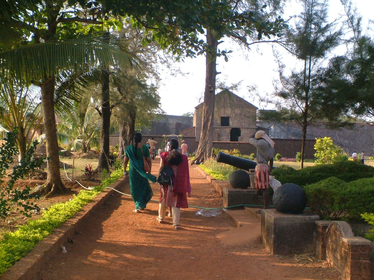
Sea-facing laterite fort built by the Portuguese in 1505, later held by the Dutch, the Arakkal royal house and the British — Kannur city’s great coastal landmark overlooking Mappila Bay.
12.7 km · ~21 min by cab · straight line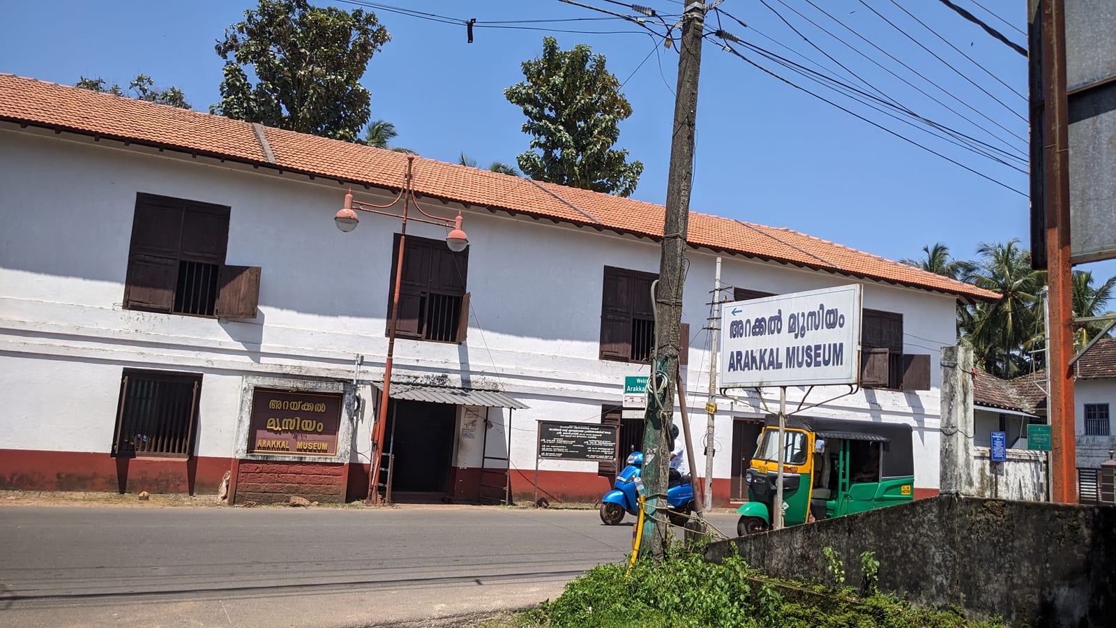
The Arakkal Kettu (palace museum) of the Arakkal Ali Rajas — Kerala’s only Muslim royal house, matrilineal so ruled at times by a Beevi (queen).
12.9 km · ~21 min by cab · straight line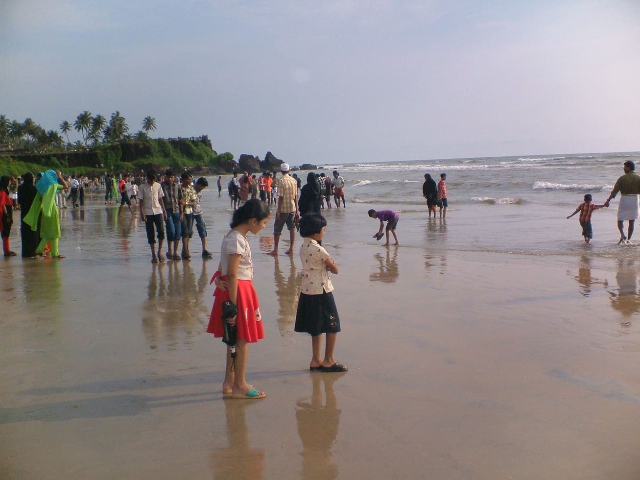
A small rocky beach in the Kannur cantonment, an extension of Payyambalam and within a few minutes of St Angelo’s Fort and the Kannur lighthouse. Not a swimming beach — the draw is the rocks, the quiet and the lighthouse beam after dark.
14.0 km · ~23 min by cab · straight lineKannur city’s main beach, with a landscaped garden, the mother-and-child sculpture and long sunset walkways.
15.6 km · ~26 min by cab · straight line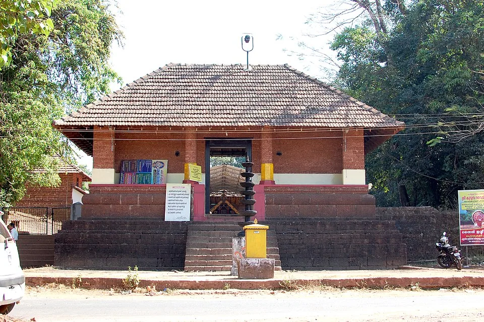
A Bhagavathy temple near Valapattanam regarded as the mother shrine of Kalaripayattu — Kerala’s martial art — where Theyyam is performed; the goddess is guardian of the kalari.
20.2 km · ~34 min by cab · straight lineYes — at low tide a sandbar and shallow water make it possible to wade or walk across from the Dharmadam shore. At high tide the crossing is under water and people instead use boats (reportedly from the Moidu Bridge area). Always check the tide and local conditions first; the sea returns and the window is short.
The island is privately held ground and entry is restricted — you generally need prior permission to actually land and explore. Many visitors simply admire and photograph it from the Muzhappilangad and Dharmadam shore, or walk out to the water’s edge at low tide. Confirm access locally before planning to set foot on the island.
There is no publicly advertised entry ticket, because the island is private rather than a standard ticketed attraction. If you arrange boat transfer or a guided visit you would pay the boatman or operator directly. Treat any figure quoted online as indicative and confirm locally.
The cooler, drier months of roughly October to February are considered best, with calmer seas suited to a tidal crossing. Beyond the season, the single most important thing is to time your visit to low tide.
Locals call it Pachathuruth (Green Island) for its dense cover of coconut palms and greenery. The name Dharmadam comes from the older Dharmapattanam, which tradition links to an ancient Buddhist settlement on this coast — a memory of Kerala’s largely vanished Buddhist past rather than anything visible on the island today.
It sits between Muzhappilangad and Thalassery on the Kannur–Thalassery coast. The nearest railhead, Thalassery, is around 5–6 km away, and Kannur International Airport is roughly 25 km.
Dry-season mornings and late afternoons are most comfortable.
Entry: No publicly advertised entry ticket — the island is private property rather than a standard ticketed site. Any cost is typically for boat transfer or a guided visit, paid directly to the operator; figures quoted online are indicative only (confirm locally). Timings: There are no fixed visitor hours in the usual sense — access is governed by the tide and by the fact that the island is private. At low tide it can be reached on foot across shallow water; at high tide the crossing is submerged and boats are used instead. Because it is privately held, actually landing and exploring generally requires prior permission.
Base yourself in Muzhappilangad and Thalassery or a nearby town in Kannur, then confirm the last-mile route locally before leaving. Confirm ferry, boat or bridge access first; island visits depend on return timing. If the visit depends on forest, temple, boat, ferry, weather or seasonal access, check the official/local rule on the day before travel.
2 hours to a full day.
Nearby you can pair Muzhappilangad Drive-in Beach (3.1 km), Gundert Bungalow (3.3 km), Overbury’s Folly (4.3 km), Thalassery Fort (4.6 km).
Avoid last-minute return boats in bad weather. Use life jackets on small boats.
We have not published a story about Dharmadam Island itself yet. These cover Muzhappilangad and Thalassery and the wider district, with separate journeys between stops.
Route-level itineraries and practical guides for the rest of Kerala.
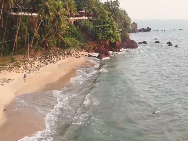
Photographs: Shagil Kannur (CC BY 4.0), Ashwini Prabhakaran (CC BY-SA 4.0), Msudhinm (CC0), Shagil Muzhappilangad (CC BY-SA 4.0). Wikimedia Commons.