What to expect
Highlights
- Viewpoint stop at Overbury’s Folly
- Photography and landscape views
- Good add-on to nearby town or hill routes
A cliff-top garden viewpoint over the sea at Thalassery, named after E.N. Overbury, a British judge of the 1870s who began but never finished a mansion here.
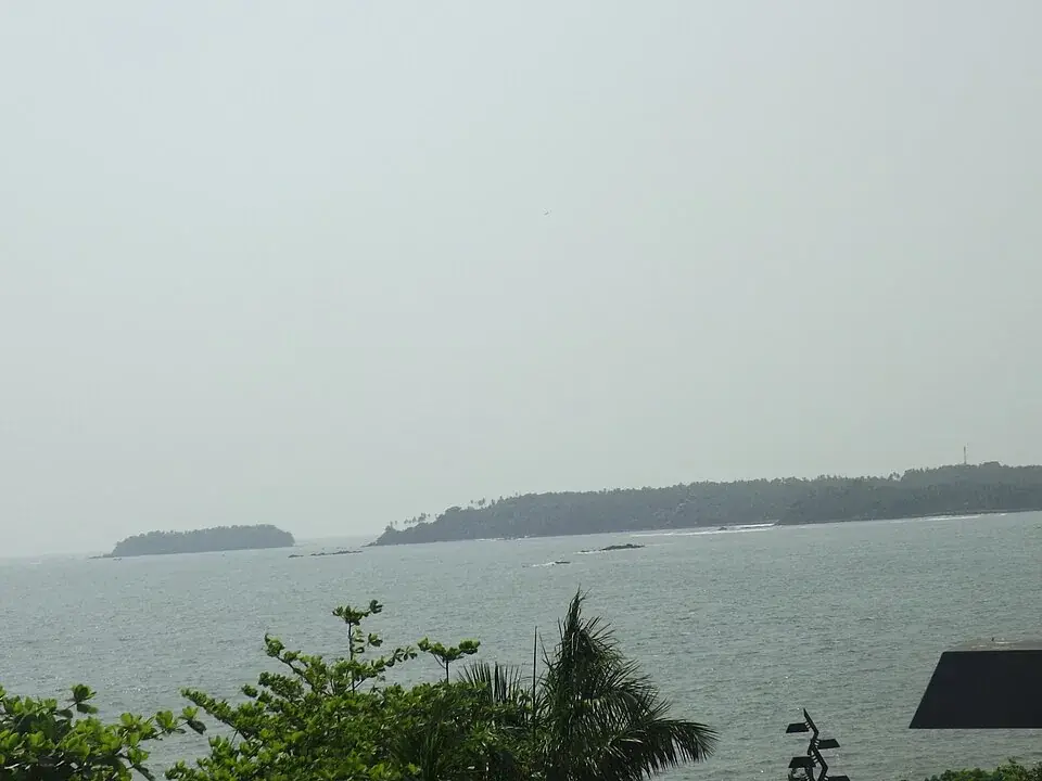
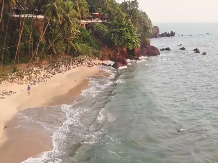
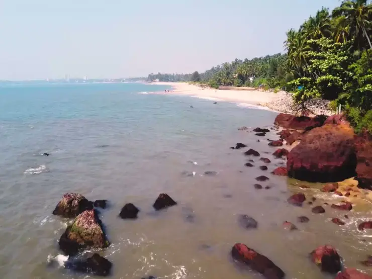
Overbury’s Folly puts the Arabian Sea below a hillside park in Thalassery.
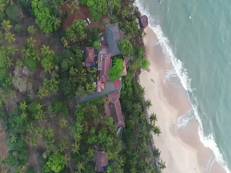
Kerala Tourism traces the name to E. N. Overbury, a British Sub-Collector who began the recreational park in 1879 but did not complete it. The slope runs towards the coastal rocks from the area below the Sub-Collector’s bungalow. That elevated relationship with the sea is the reason to stop.
Give the view time to change with the light, and use the maintained visitor areas rather than treating the rocks below as a beach path. The park is close to Thalassery’s wider heritage circuit, so it works as a pause between more concentrated museum or fort visits.
Road km to Kannur; ghat roads and traffic vary — allow extra.
Clear post-monsoon and winter days are best; mist can block views in hill areas.
Live forecast loads in your browser.
Check the official alert before you travel. Kerala’s beaches, waterfalls and trekking routes close at short notice during heavy rain, and district alert levels change day to day. We do not publish an alert level of our own — read it from the state authority: Kerala State Disaster Management Authority, or the district control room on 1077.
Sun and moon are calculated for this location and shown in IST. Photography windows are the hour around sunrise and sunset; the sunset bearing is degrees clockwise from true north. Moon phase is accurate to about half a day.
Verified hotels, homestays, restaurants, experiences, sights, shops and rentals around Overbury’s Folly — commission-free, with direct contact. Filter by what you need.
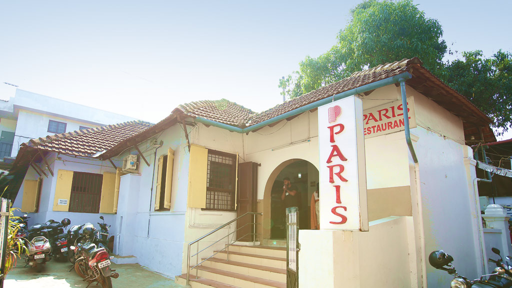
Paris Hotel Street is an official Thalassery Heritage Project stop documenting Paris Restaurant, founded in 1942, and the story of Thalassery dum biryani. Food stop; check restaurant hours locally · Paris Restaurant, Thalassery biryani, Food heritage.
Historic Thalassery bakery founded in 1880 and still wood-fired baking. Birthplace of India's first cake, baked here for a British planter in 1883.
Book with the place itself. India’s cyber-crime coordination centre warned in April 2025 that convincing copies of hotel and pilgrimage booking sites are being pushed through sponsored search and social ads, taking payment for rooms the property never hears about. Every listing here links to the business’s own contact details and its own Google or Bing profile — we take no commission and sit in nobody’s payment path. If a booking page reached you through an ad, check the address bar against the property’s own site before you pay. Fraud can be reported on cybercrime.gov.in or on 1930.
Find food, accommodation and activities across Muzhappilangad and Thalassery. Browse the guides for places to eat, stay and explore along your route.
4 more places around Muzhappilangad and Thalassery. Open a guide to plan the visit and onward journey.
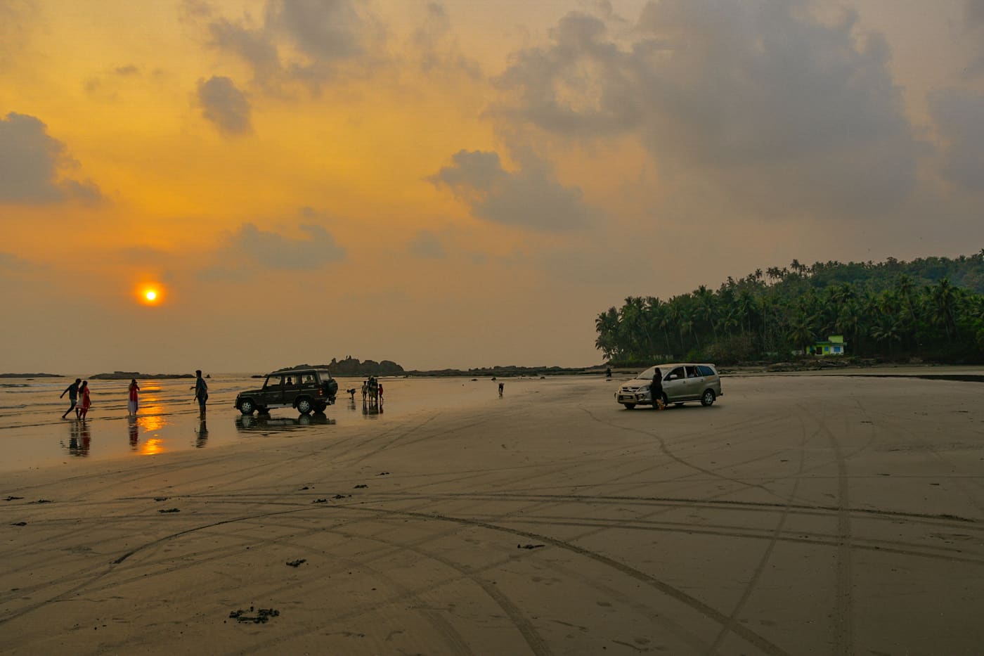
6.9 km · ~17 min by auto
A ~4 km hard-sand beach, the longest drive-in beach in India — you can drive along the sand at low tide; Dharmadam Island lies just offshore.
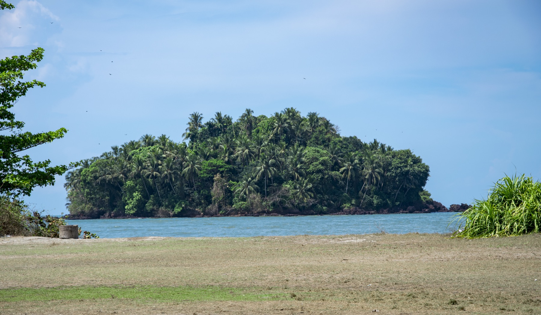
4.3 km · ~11 min by auto
A small green private island off Muzhappilangad, reachable on foot across the sand at low tide (viewing only; landing is restricted).
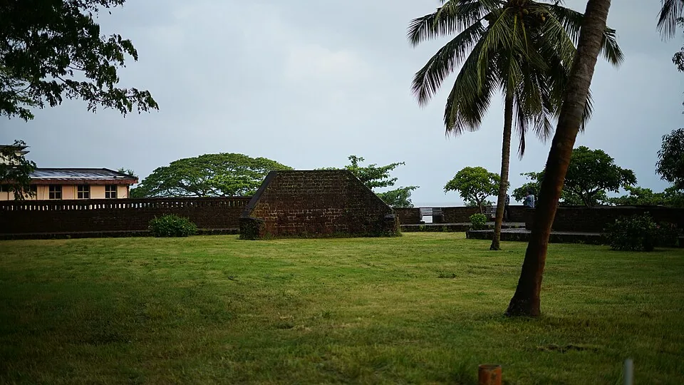
270 m · 3 min walk
A square laterite fort built by the English East India Company in 1708 at Thalassery (Tellicherry), heart of the old Malabar pepper and cricket town, with secret sea tunnels.
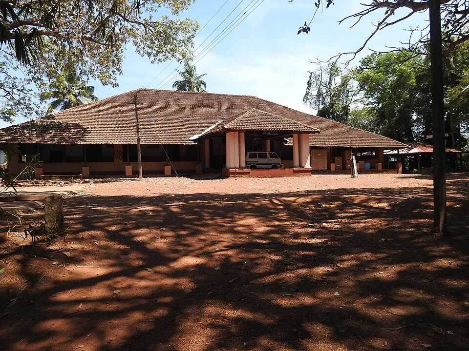
2.0 km · 25 min walk
At Illikkunnu near Thalassery, the hillside home of the German missionary-scholar Hermann Gundert, who compiled the first Malayalam–English dictionary and grammar here in the mid-1800s.
Roampedia is commission-free — own or know a stay, eatery, guide or shop near Overbury’s Folly? List it and it appears here once verified.
Add a nearby businessEntry: Free; a small public cliff-garden.
Near the Thalassery District Court, about 21 km from Kannur city.
If you are travelling by bus or ferry, check the return service with the operator before setting out. Leave time to reach the stop or jetty after your visit.
Ask at the bus stand for the time of the last service back, not the next one. If you miss it, an auto or app cab is the fallback — agree the fare before you get in.
If you need step-free access, contact the site before travelling. Ask about a level entrance, steps along the route, the nearest drop-off point, seating and accessible toilets.
Charge cap and free-transaction limits: Reserve Bank of India, in force since 1 May 2025.
These services are listed within about 1.2 km of Overbury’s Folly. Walking distances follow mapped routes; access and opening hours can change. Other services may be closer but are not included here.
Emergency numbers are verified against official government and state tourism sources. 112 works anywhere in India.
A square laterite fort built by the English East India Company in 1708 at Thalassery (Tellicherry), heart of the old Malabar pepper and cricket town, with secret sea tunnels.
270 m · 3 min walk · straight lineAt Illikkunnu near Thalassery, the hillside home of the German missionary-scholar Hermann Gundert, who compiled the first Malayalam–English dictionary and grammar here in the mid-1800s.
2.0 km · 25 min walk · straight lineA small green private island off Muzhappilangad, reachable on foot across the sand at low tide (viewing only; landing is restricted).
4.3 km · ~11 min by auto · straight lineA ~4 km hard-sand beach, the longest drive-in beach in India — you can drive along the sand at low tide; Dharmadam Island lies just offshore.
6.9 km · ~17 min by auto · straight line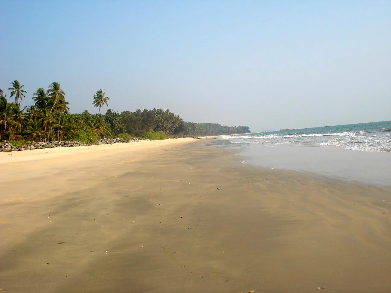
Kizhunna’s sandy shore lies between Thottada and Ezhara, with palm-backed village edges and the Cherakallu rock formations breaking up the coastline.
11.9 km · ~20 min by cab · straight line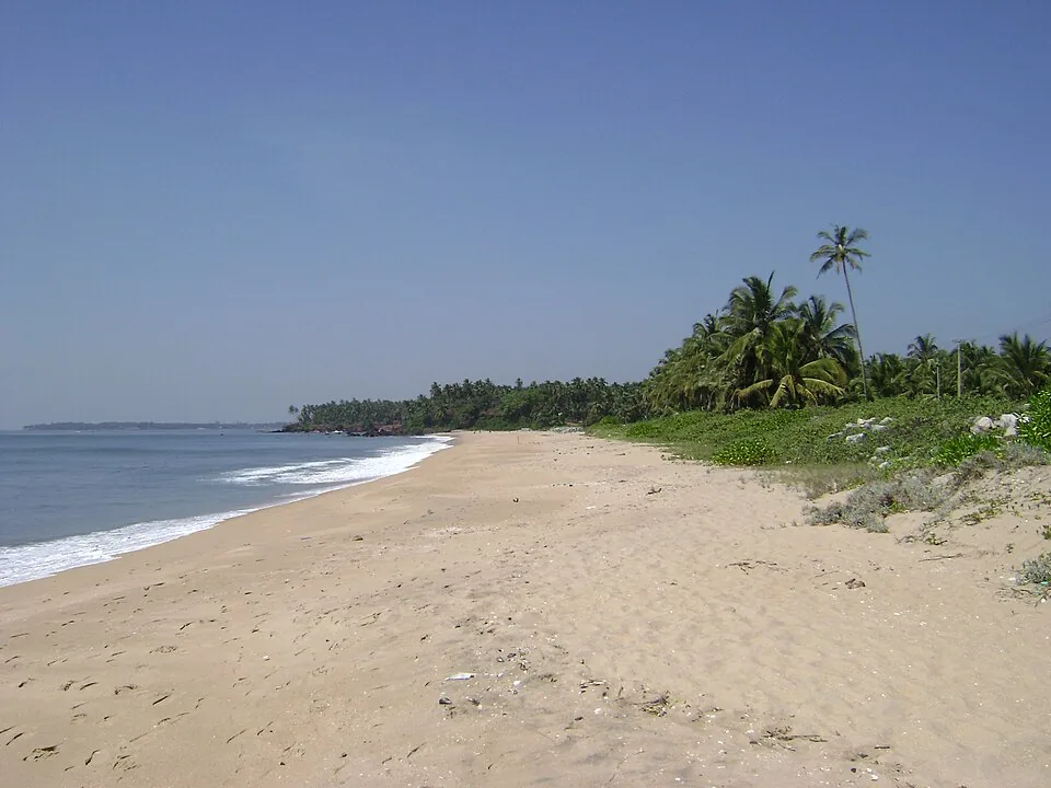
A quiet, unspoilt cove-and-stream beach south of Kannur city, known for its homestays and calm, uncrowded sands.
12.8 km · ~21 min by cab · straight line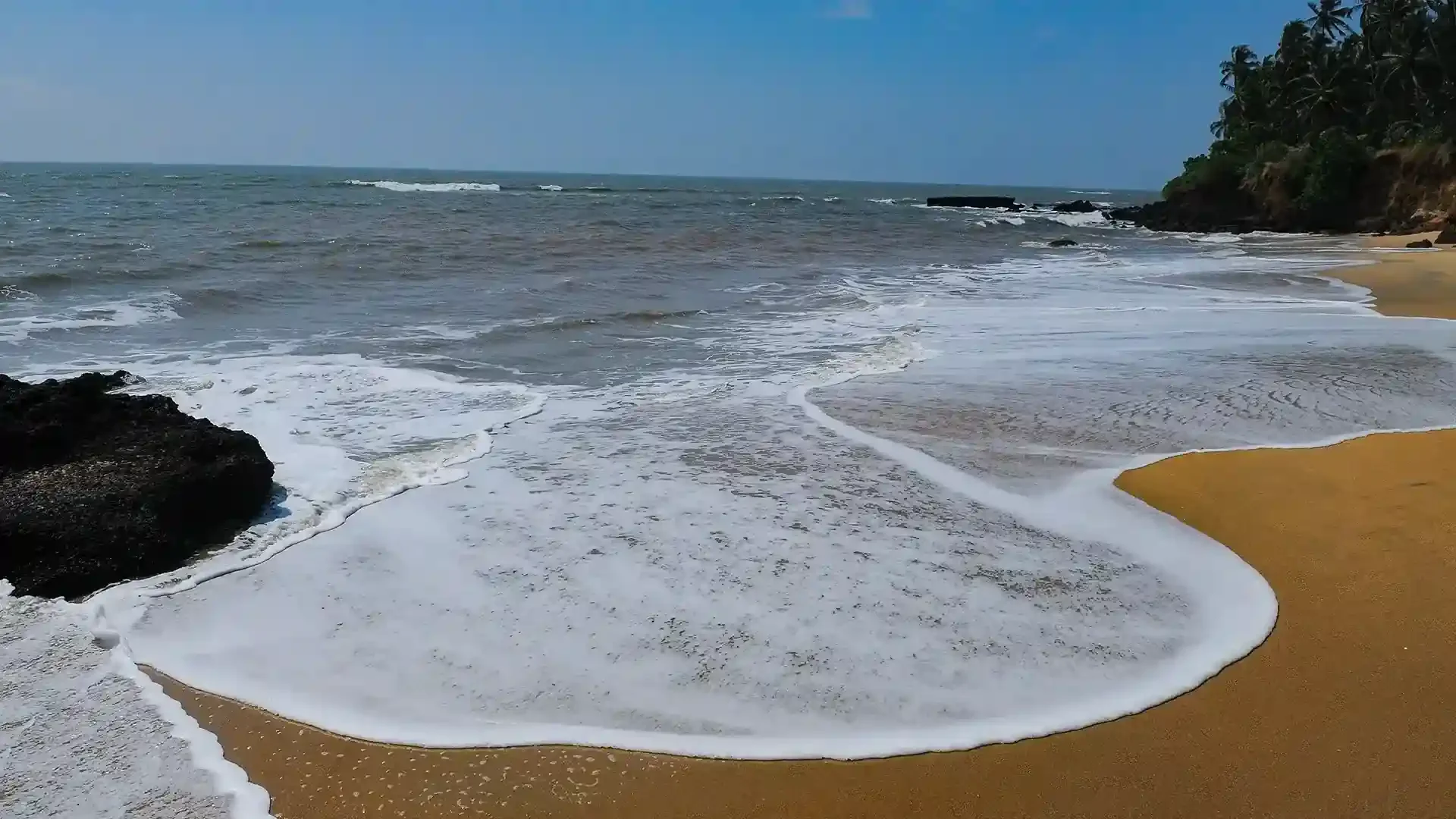
Adikadalayi Beach, also called Kadalayi Beach in Kerala’s coastal tourism study, is a Kannur shore with sandy pockets, exposed red coastal rock and palms above the water. It belongs to the Adikadalayi locality, not the separately named Thottada, Kizhunna or Ezhara beaches farther along the coast. Use the mapped public steps from Tippu Sulthan Beach Road as the arrival reference. Nearby cliff-side homestays have their own entrances and facilities, and should not be used as assumed public access.
14.2 km · ~24 min by cab · straight line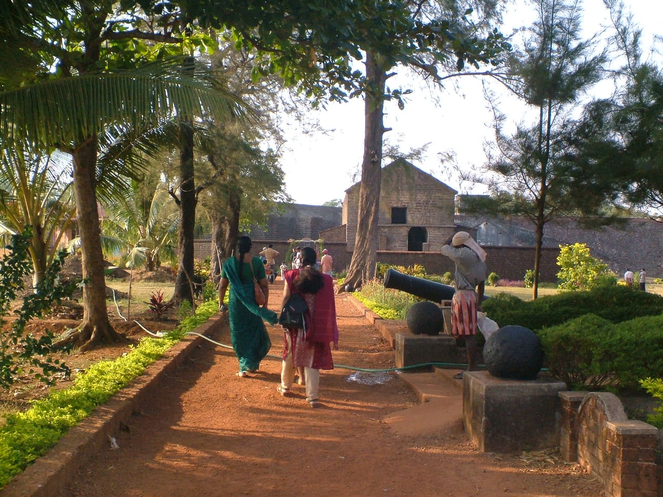
Sea-facing laterite fort built by the Portuguese in 1505, later held by the Dutch, the Arakkal royal house and the British — Kannur city’s great coastal landmark overlooking Mappila Bay.
16.9 km · ~28 min by cab · straight line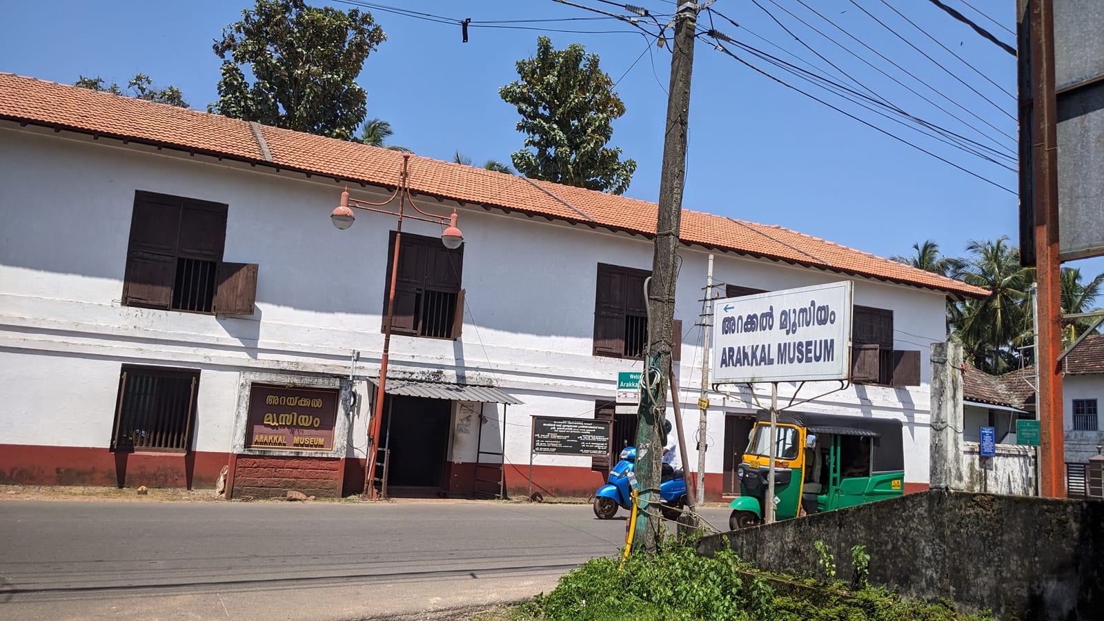
The Arakkal Kettu (palace museum) of the Arakkal Ali Rajas — Kerala’s only Muslim royal house, matrilineal so ruled at times by a Beevi (queen).
17.0 km · ~28 min by cab · straight line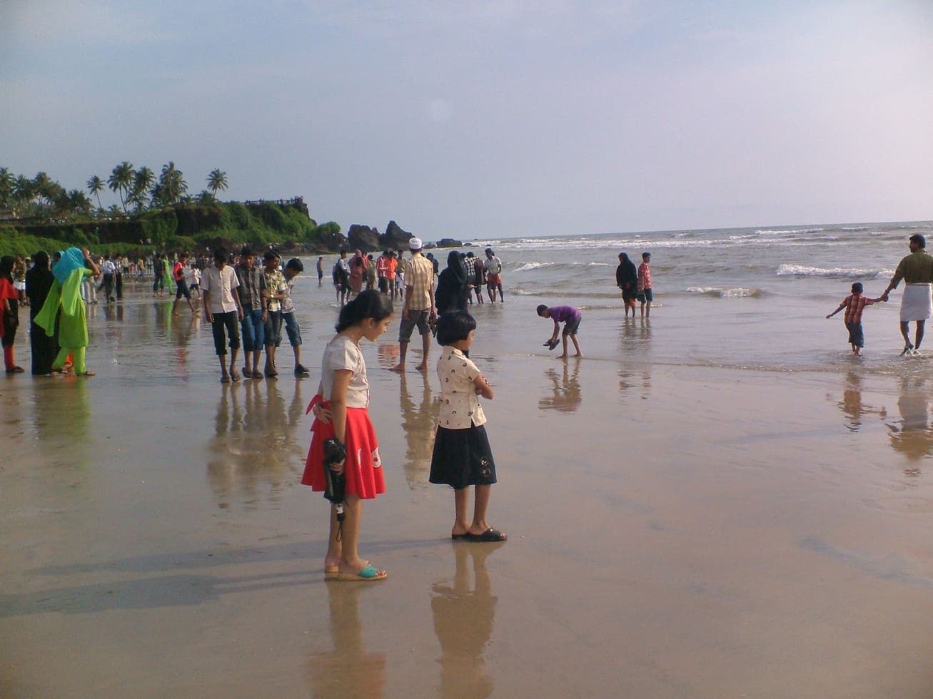
A small rocky beach in the Kannur cantonment, an extension of Payyambalam and within a few minutes of St Angelo’s Fort and the Kannur lighthouse. Not a swimming beach — the draw is the rocks, the quiet and the lighthouse beam after dark.
18.1 km · ~30 min by cab · straight lineKannur city’s main beach, with a landscaped garden, the mother-and-child sculpture and long sunset walkways.
19.8 km · ~33 min by cab · straight line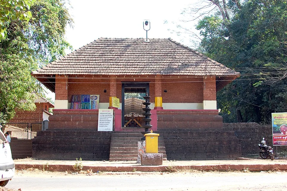
A Bhagavathy temple near Valapattanam regarded as the mother shrine of Kalaripayattu — Kerala’s martial art — where Theyyam is performed; the goddess is guardian of the kalari.
24.1 km · ~40 min by cab · straight lineNearby toilets, pharmacies, ATMs, seating and vets are community-mapped and may be incomplete or out of date. Map data © OpenStreetMap contributors | Walking times © openrouteservice.org by HeiGIT
Kerala Tourism relates the name to Overbury’s unfinished nineteenth-century park project, rather than to a natural feature of the coastline.
Clear post-monsoon and winter days are best; mist can block views in hill areas.
Entry: Free; a small public cliff-garden. Timings: Best in the late afternoon and at sunset.
Base yourself in Muzhappilangad and Thalassery or a nearby town in Kannur, then confirm the last-mile route locally before leaving. Go early for clearer light and easier parking; sunset viewpoints can crowd quickly. If the visit depends on forest, temple, boat, ferry, weather or seasonal access, check the official/local rule on the day before travel.
45 minutes to 2 hours.
Nearby you can pair Thalassery Fort (270 m), Gundert Bungalow (2.0 km), Dharmadam Island (4.3 km), Muzhappilangad Drive-in Beach (6.9 km).
Stay behind barriers and away from cliff edges. Avoid viewpoints during lightning or heavy rain.
We have not published a story about Overbury’s Folly itself yet. These cover Muzhappilangad and Thalassery and the wider district, with separate journeys between stops.
Route-level itineraries and practical guides for the rest of Kerala.
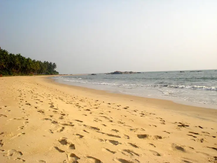
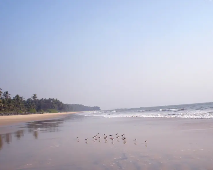
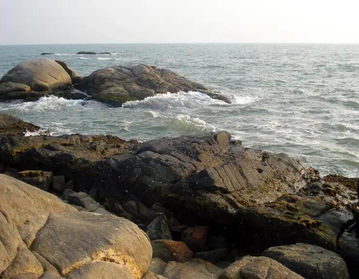
Photographs: Abhilash raman (CC BY-SA 4.0), ShajiA at Malayalam Wikipedia (CC BY-SA 3.0), ShajiA at ml.wikipedia (CC BY-SA 3.0). Wikimedia Commons.