What to expect
Highlights
- Waterfall viewpoint at Vattathil Waterfalls
- Forest-edge scenery
- Short walks, food stops or nearby viewpoints where available
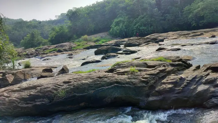
A wide rock apron on the Ithikkara near Kalladathanni, where the river slides and braids rather than plunges — DTPC Kollam’s own description is “a small waterfall that does not particularly fall”. Free, unstaffed and unsigned, about 200 m on foot through a rubber estate. ⚠ No lifeguard and no railings; the local name Vattakayam means the round deep pool.
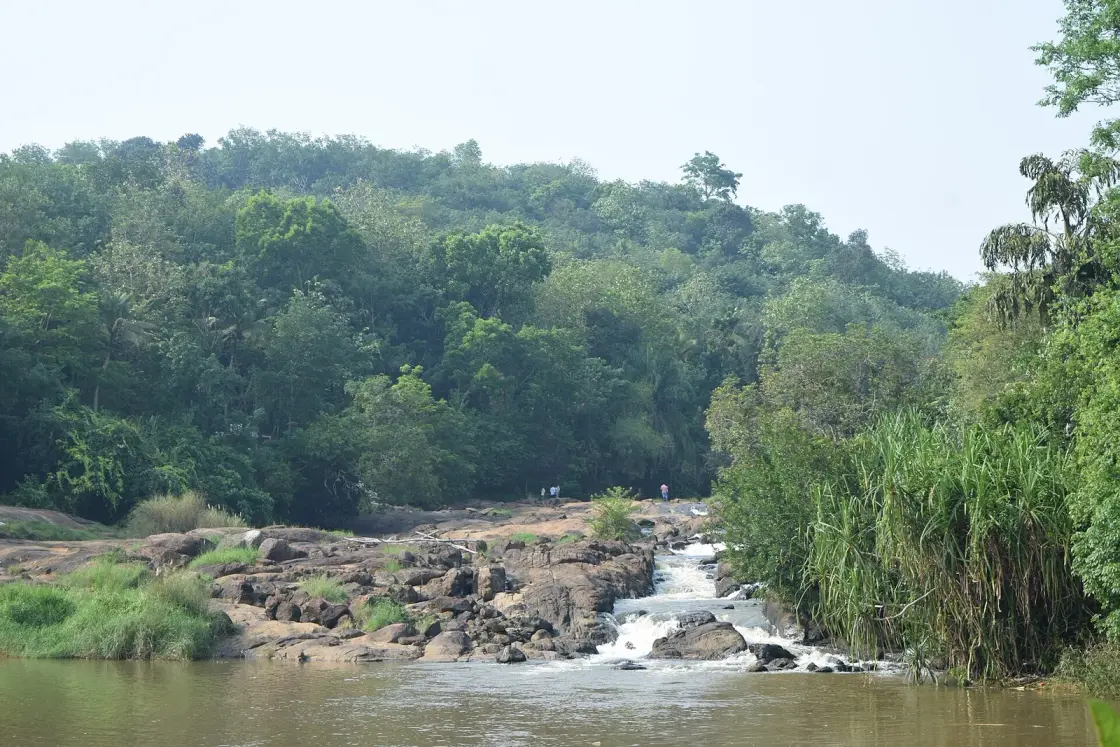
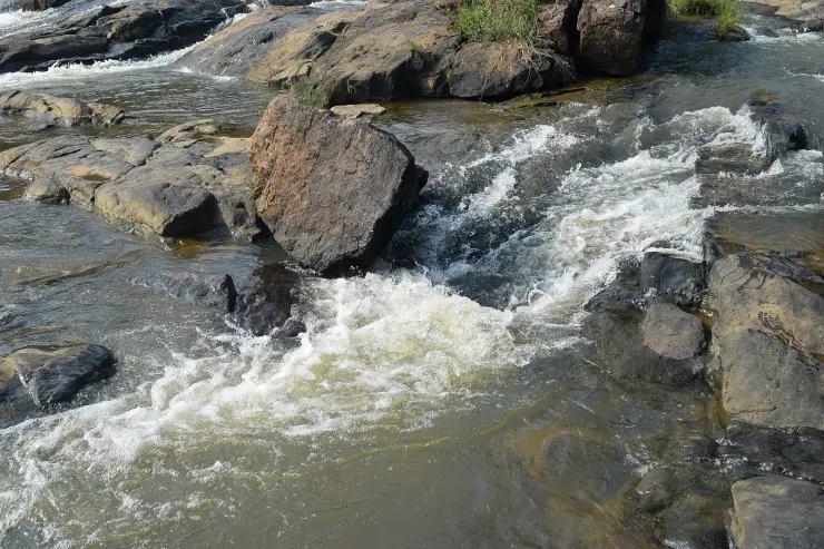
It is not really a waterfall, and that is the best thing about it. At Kalladathanni the Ithikkara spreads out across a wide apron of bare rock and simply slides — breaking into half a dozen white chutes a metre or two high, then gathering again into a broad still pool under the trees. Kerala's district tourism council puts it more plainly than we could: a small waterfall that does not particularly fall, but flows through the terrain. There is no ticket, no gate, no railing and nobody in charge. Almost everything published about the place gets its name, its river or its district wrong, and until a group of Wikimedia volunteers walked in one April afternoon in 2025, there was barely a photograph of it either.
Start with what you actually see, because it is unusual enough to be worth arriving with the right expectation. This is not a plunge. The river reaches a shelf of gneiss and laterite perhaps a hundred metres across and loses its channel entirely, splitting into braided chutes that drop in steps of thirty to sixty centimetres, running over rock that has been scoured smooth and pale and left studded with rounded boulders. Below the shelf the water reassembles into a wide, slow, tea-coloured pool with a low forested bank on the far side and screwpine leaning over the edge. If you have come expecting Palaruvi or Kumbhavurutty — a white ribbon dropping off a cliff — you will be briefly disappointed and then, if you have any sense, won over. What this place offers is not height. It is space: a great deal of walkable rock, water moving in every direction across it, and almost nobody there.
The photographs that exist show it in April, at the very end of the dry season, and they matter because they settle an argument. Even in high summer there is real water here — enough to raise white water across the whole width of the apron and to keep the pool below deep and opaque. That is the practical case for the place: it is not a monsoon-only spectacle that dries to a stain on a rock for eight months of the year. It also flags the hazard, and we will come back to that, because a shelf you can walk out onto and a pool you cannot see the bottom of are a combination that has caught people out at every unmanaged river site in Kerala.
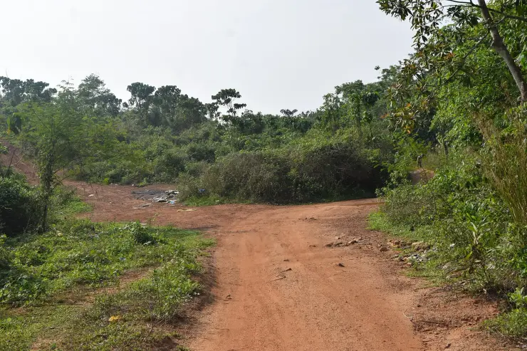
Getting there is part of the character. From the road the approach is an unmade laterite track, red and rutted, holding puddles even in April, carried on electricity poles into a rubber estate. Then a narrow concrete footbridge with steel-pipe railings takes you across a gully under the rubber trees, and a walk of roughly two hundred metres brings you out onto the rock. That footbridge is worth dwelling on, because it is the one piece of this place we can date from the evidence itself. The earliest account we could find, a blogger's write-up of a visit on 10 January 2016, describes crossing on a wooden bridge made from two coconut trunks and complains that the falls were not on Google Maps at all. The April 2025 photographs show a railed concrete span. Between those two dates somebody built a footbridge — and the old warnings about a hair-raising log crossing, which are still being copied around, are simply out of date.
What has not arrived is anything else. There is no entry fee, which the district tourism council states outright. There is no ticket counter, no toilet, no shop, no signboard at the road, no lifeguard, no rope, no railing at the water. The only structure visible near the falls in the 2025 photographs is an unfinished concrete building on the far bank — pillars, a slab and a water tank, roofless. We do not know what it is and we are not going to guess; we mention it because it is there in the frame and because a reader who arrives expecting untouched forest should know that the far bank is being built on.
The river is the Ithikkara, and this page is the other end of a story we already tell. Roughly forty kilometres downstream, at Paravur, the Ithikkara meets the sea — or rather, it no longer does. Its natural mouth was closed with granite boulders in 1986, a tidal regulator was built into a spillway bridge in 1957 and a spillway followed in 1968, and the river-network organisation SANDRP calls the result purely unscientific, because the spillway runs north–south while the river arrives from the east running straight west. Our page on Paravur Pozhikkara tells that in full. Stand at Kalladathanni and you are looking at the same river a long way above all of it, still doing what a river does across bare rock, with nothing built into it at all.
One qualification matters: the mapped stretch of Ithikkara aaru ends about 1.85 kilometres west of the falls, so the map does not itself connect the watercourse to the site. The identification instead rests on three agreeing sources: the district tourism council, a Malayalam travel account and the photographer whose river images here are captioned Ithikkara River. Small Kerala rivers are often incompletely mapped; the published identification is stronger than the incomplete linework.
The place has more names than it has facilities, and each one tells you something. OpenStreetMap and Wikimedia Commons call it Vattathil Waterfall, or Kalladathanni Vattathil Waterfall. DTPC Kollam's own listing calls it Vattathil Thangal Waterfalls. The 2016 blogger called the water the Kalladathanni river and never used Vattathil at all. And a Malayalam travel account records local youngsters calling it Vattakayam — vatta, round; kayam, a deep pool — and saying that it is the pride of their place and that they will not let anyone lay a hand on it. That last name is the useful one, and it is discussed below.
Finally, the reason any of this can be written at all. Every usable photograph of Vattathil comes from a single afternoon: 13 April 2025, between about 15:51 and 16:42, when a group from the Wikimedians of Kerala user group walked in and uploaded forty-one images under CC BY-SA 4.0, credited to SijiR and Manojk. Before that the internet had a handful of aggregator listings recycling one paragraph. It is a small, precise illustration of how thinly documented the ordinary Kerala countryside still is — and of what changes when eight people spend two hours somewhere with cameras.
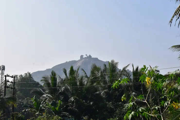
There is no origin legend here, and we are going to say that plainly rather than borrow one. Kerala waterfalls attract stories — Palaruvi has its milk-stream, Kumbhavurutty its pot-shaped rock — and Vattathil, four kilometres from a hillside that carries one of the most heavily told legends in the state, would be an easy place to attach something. Jatayu Earth's Center is just up the road at Chadayamangalam, built on the rock where the vulture Jatayu is said to have fallen after Ravana cut off his wing. It would take very little to write that the river below washed the wounded bird, or that the round pools were pressed into the rock where he struck it. We could find no source that says any such thing, and we have already had to strip exactly this kind of drift off our own Chadayamangalam pages, where an earlier version asserted eight separate times that the shrines of the district are tied to the Jatayu story when no named temple in the belt supports it. So: no legend. What this place has instead is a set of names, and the names are the genuinely interesting thing.
Take Vattakayam first, because it is the one that carries meaning you can stand in front of and check. Vattam is round; kayam is a deep pool, the word Malayalam uses for the drowning kind rather than the paddling kind. Vattakayam is the round deep pool. The rock apron here is exactly the sort of surface that makes them: water working at a hollow, spinning a trapped stone in it year after year until it grinds out a circular pot, and one pot joining another until the shelf is pocked with them. Whether Vattathil — literally in the round, or at the round place — comes from the same pools or from a family or house name is not something any source we could find settles. Kerala place-names ending in -athil are very often house-names, and it would be careless to insist on the pretty derivation just because it is available. But the pools are real, the word is right, and the local usage recorded in Malayalam is Vattakayam. That is as far as the evidence goes and it is far enough to be worth telling.
Then there is the Thangal, and here we have to be careful in the other direction. The district tourism council's official name for this site is Vattathil Thangal Waterfalls. Thangal, in Kerala, is the honorific for a Sayyid — a Muslim religious figure claiming descent from the Prophet — and across the state their tombs, the jarams and maqbaras, are among the most genuinely shared sacred sites in India, visited by Hindus and Christians as readily as by Muslims. One Malayalam travel account describes precisely that at this site: a kabr near the falls serving as a place of veneration for local people of all faiths. If that is right, then the official name is not decorative. It records that this stretch of river is named for a saint, and that a small shared shrine sits beside a waterfall in a Hindu-majority village in inland Kollam — which is a quietly remarkable thing and very much the sort of story this valley deserves.
But it rests on one source. The 2016 account, which describes the walk in some detail and mentions the wooden bridge, the rubber trees, the villagers bathing and the risk of the current, does not mention a tomb, a shrine or a Thangal at all. Nothing in the forty-one photographs from 2025 shows one. We could find no independent record of who the Thangal was, when he lived, or where exactly the kabr stands. So this is where the page stops: the name is documented and official, the tomb is reported once and uncorroborated, and we are printing both facts rather than promoting the second into a legend. If you go and find it, you will know something we do not.
One further claim we have deliberately left off this page, because it is the sort of thing that gets copied for a decade once someone publishes it. The 2016 account remarks in passing that the Kalladathanni bridge is locally famous for a bus accident that took twenty lives. A road disaster on that scale in Kerala would be documented in the newspaper record several times over, and we could find no trace of it. It may be a real local memory of a smaller crash that has grown in the retelling, or a confusion with another bridge entirely. Either way, twenty deaths is not a detail to repeat on a stranger's word, and it is not repeated here.
Vattathil has almost no written history, and pretending otherwise would be the easiest lie on this page. There is no inscription, no colonial survey mention we could trace, no temple record, no dated construction. What can be dated is the administrative geography around it and the last decade of its own small changes, and that is what this section is for.
The site is at Poredam, but published sources file it differently. The mapped address is Poredam, Kottarakkara taluk, Kollam district, PIN 691516; DTPC Kollam lists it under Pallickal, Chadayamangalam, while a 2016 local account places it in Chadayamangalam grama panchayat. Chadayamangalam is a village, grama panchayat, block panchayat and assembly constituency rather than a taluk, which explains part of the overlap. Use Poredam and the page coordinates for navigation.
One published claim we can settle, and it is the one most likely to send a traveller to the wrong district. A Malayalam travel article states in its opening sentence that Vattathil waterfall is in Thiruvananthapuram district, on the Pallickal–Akkal road. It is not. There is a Pallickal grama panchayat in Thiruvananthapuram district as well as one in Kollam, which is almost certainly how the error arose, and the site does sit in country close to the district boundary. But the coordinate reverse-geocodes to Kollam district, and DTPC Kollam — the district tourism promotion council of Kollam, an authority with no incentive to claim a neighbour's waterfall — publishes it as one of its own destinations.
The visitor approach has changed quickly. In January 2016 travellers used an unmarked mud road off the Paripally–Pallickal route, asked for Kalladathanni bridge and crossed the final gap on two coconut trunks. By April 2025 a railed concrete footbridge served the rubber-estate approach, while the falls had a current map location, Wikimedia Commons category and DTPC listing. It remains obscure, but arrival is much clearer than it was.
The pressure on it is current and is reported, not established. A Malayalam account describes attempts to quarry rock from an adjoining property of about eleven acres, and an Akkal Action Council formed locally to oppose quarrying and campaign for the area — the same account in which young people from the area describe Vattakayam as the pride of their place and say they will not allow anyone to touch it. We have not been able to corroborate the acreage, the applications or the council's standing from any second source, so it is set down here as reported local opposition to reported quarrying, which is what it is. What is not in doubt from the photographs is that construction has already reached the far bank.
It is the rarest thing on a Kerala itinerary: a river site with real water and no infrastructure at all, forty minutes off the Kollam–Thiruvananthapuram road, where you can walk out onto a hundred metres of open rock and quite plausibly be the only person there.
It works outside the monsoon. The only photographic record of the place was made in the second week of April, at the end of the dry season, and it shows white water across the full width of the apron and a deep pool below — so this is not a July-only site that spends most of the year as a damp stain.
The walk in is genuinely pretty and genuinely short: a red laterite track, a narrow railed footbridge, and a couple of hundred metres under rubber trees before the river opens out. It is about as much effort as a car park, for a great deal more reward.
It pairs naturally with Jatayu Earth's Center, 4.4 km away — and pairs by contrast. One is a ticketed hilltop theme park with a cable car and a ₹450 entry; the other is free, unstaffed and unsigned. Doing both in a morning tells you more about Kerala tourism than either does alone.
For anyone following the Ithikkara, this is the river's other face. Our Paravur Pozhikkara page has its mouth, boulder-blocked since 1986 and silting up behind an unscientific spillway. Here, forty kilometres upstream, the same water is still running across bare rock exactly as it always has.
And it is a good place to be reminded how much of Kerala is still barely photographed. Every image on this page comes from one afternoon's volunteer photowalk in April 2025. Before that, there was effectively nothing.
Road km to Kollam; ghat roads and traffic vary — allow extra.
Post-monsoon is usually strongest; dry months are easier for access but water volume may be lower.
Live forecast loads in your browser.
Sun and moon are calculated for this location and shown in IST. Photography windows are the hour around sunrise and sunset; the sunset bearing is degrees clockwise from true north. Moon phase is accurate to about half a day.
Verified hotels, homestays, restaurants, experiences, sights, shops and rentals around Vattathil Waterfalls — commission-free, with direct contact. Filter by what you need.
Hotel beside the Chadayamangalam/Jatayu route on State Highway 1 with restaurant and road-trip access.
Book with the place itself. India’s cyber-crime coordination centre warned in April 2025 that convincing copies of hotel and pilgrimage booking sites are being pushed through sponsored search and social ads, taking payment for rooms the property never hears about. Every listing here links to the business’s own contact details and its own Google or Bing profile — we take no commission and sit in nobody’s payment path. If a booking page reached you through an ad, check the address bar against the property’s own site before you pay. Fraud can be reported on cybercrime.gov.in or on 1930.
Find food, accommodation and activities across Chadayamangalam. Browse the guides for places to eat, stay and explore along your route.
3 more places around Chadayamangalam. Open a guide to plan the visit and onward journey.
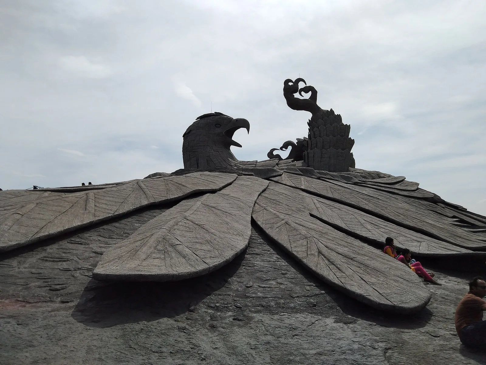
4.4 km · ~11 min by auto
Hilltop sculpture park and viewpoint at Chadayamangalam, home to the world’s largest bird sculpture, reached by cable car.
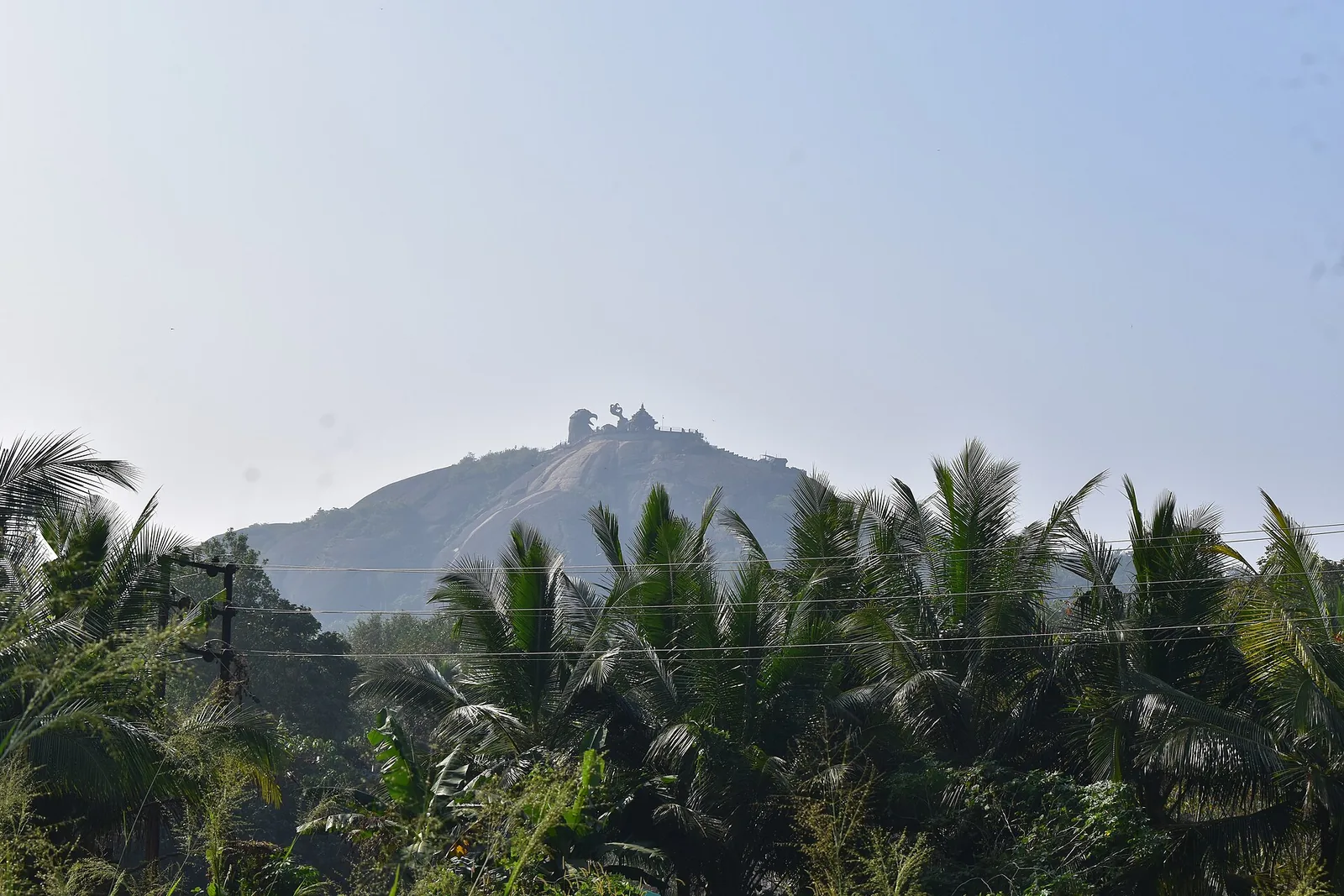
4.9 km · ~12 min by auto
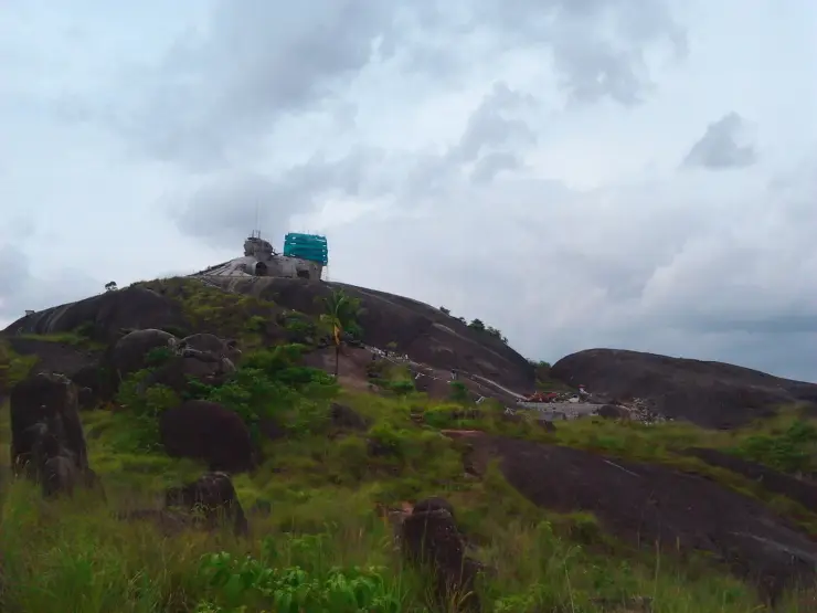
The rock outcrops and open high ground around Chadayamangalam, looking over the country between Kollam and the ghats — the landscape the Jatayu sculpture sits in, seen from ground level and without a ticket. The bare domes here are crystalline basement rock, not the laterite that mantles the ground between them.
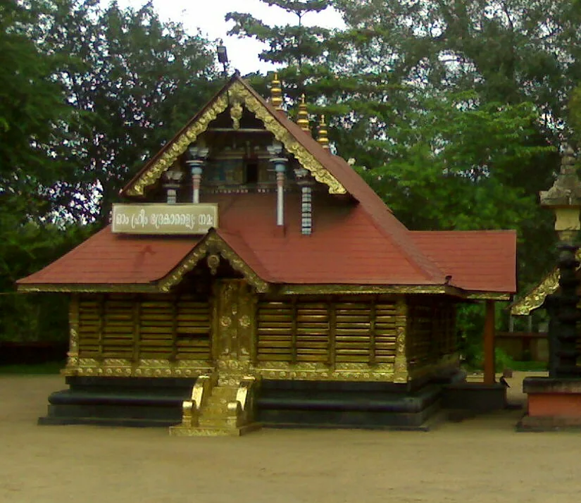
5.1 km · ~13 min by auto
A short drive linking the named temples around Chadayamangalam: the Kottukkal rock-cut cave, the four-temple complex around one pond at Kadakkal, and the sacred groves, serpent shrine and kalari shrine of the surrounding belt.
Roampedia is commission-free — own or know a stay, eatery, guide or shop near Vattathil Waterfalls? List it and it appears here once verified.
Add a nearby businessEntry: Free, and free because nobody is collecting. DTPC Kollam states there is no entry fee. There is also no ticket counter, no gate and no staff of any kind, so there is nothing to pay and nobody to pay it to.
If you are travelling by bus or ferry, check the return service with the operator before setting out. Leave time to reach the stop or jetty after your visit.
Ask at the bus stand for the time of the last service back, not the next one. If you miss it, an auto or app cab is the fallback — agree the fare before you get in.
If you need step-free access, contact the site before travelling. Ask about a level entrance, steps along the route, the nearest drop-off point, seating and accessible toilets.
Emergency numbers are verified against official government and state tourism sources. 112 works anywhere in India.
Hilltop sculpture park and viewpoint at Chadayamangalam, home to the world’s largest bird sculpture, reached by cable car.
4.4 km · ~11 min by auto · straight lineThe rock outcrops and open high ground around Chadayamangalam, looking over the country between Kollam and the ghats — the landscape the Jatayu sculpture sits in, seen from ground level and without a ticket. The bare domes here are crystalline basement rock, not the laterite that mantles the ground between them.
4.9 km · ~12 min by auto · straight lineA short drive linking the named temples around Chadayamangalam: the Kottukkal rock-cut cave, the four-temple complex around one pond at Kadakkal, and the sacred groves, serpent shrine and kalari shrine of the surrounding belt.
5.1 km · ~13 min by auto · straight line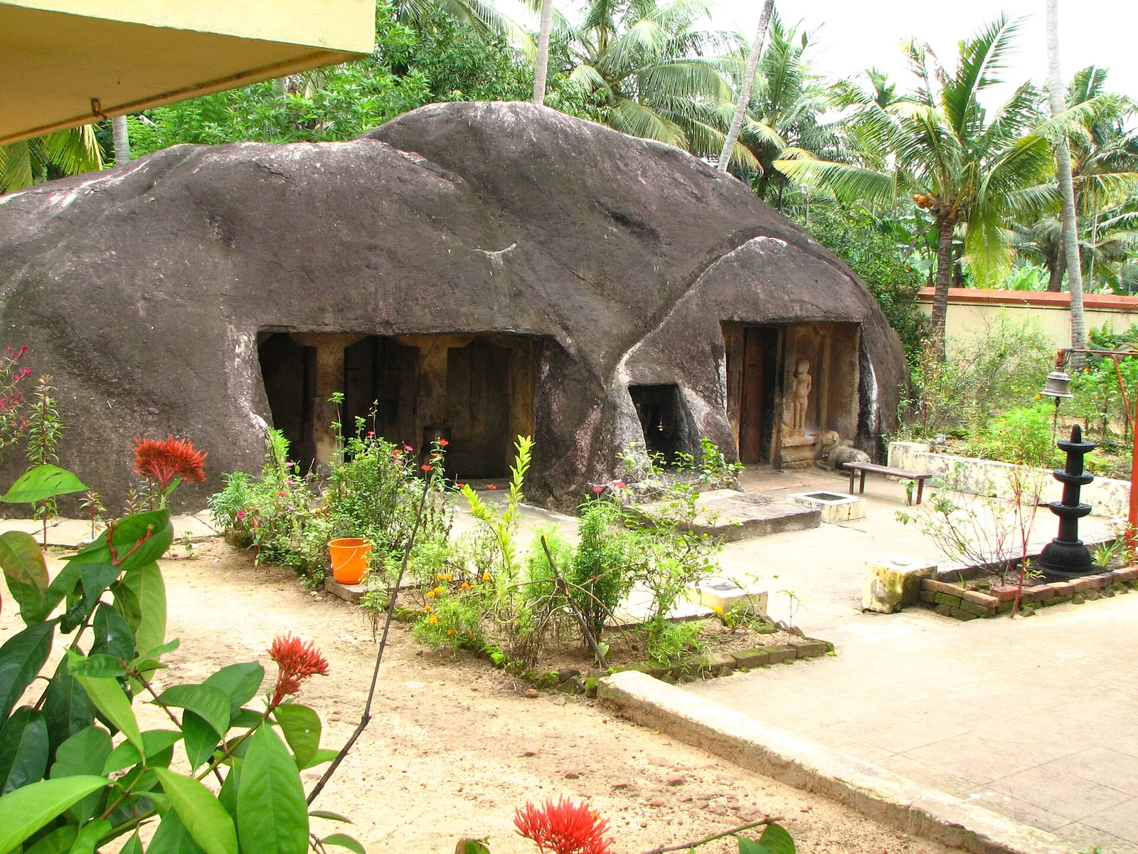
A monolithic rock-cut cave temple near Anchal/Kadakkal in south Kollam, carved with a Shiva shrine.
9.5 km · ~16 min by cab · straight line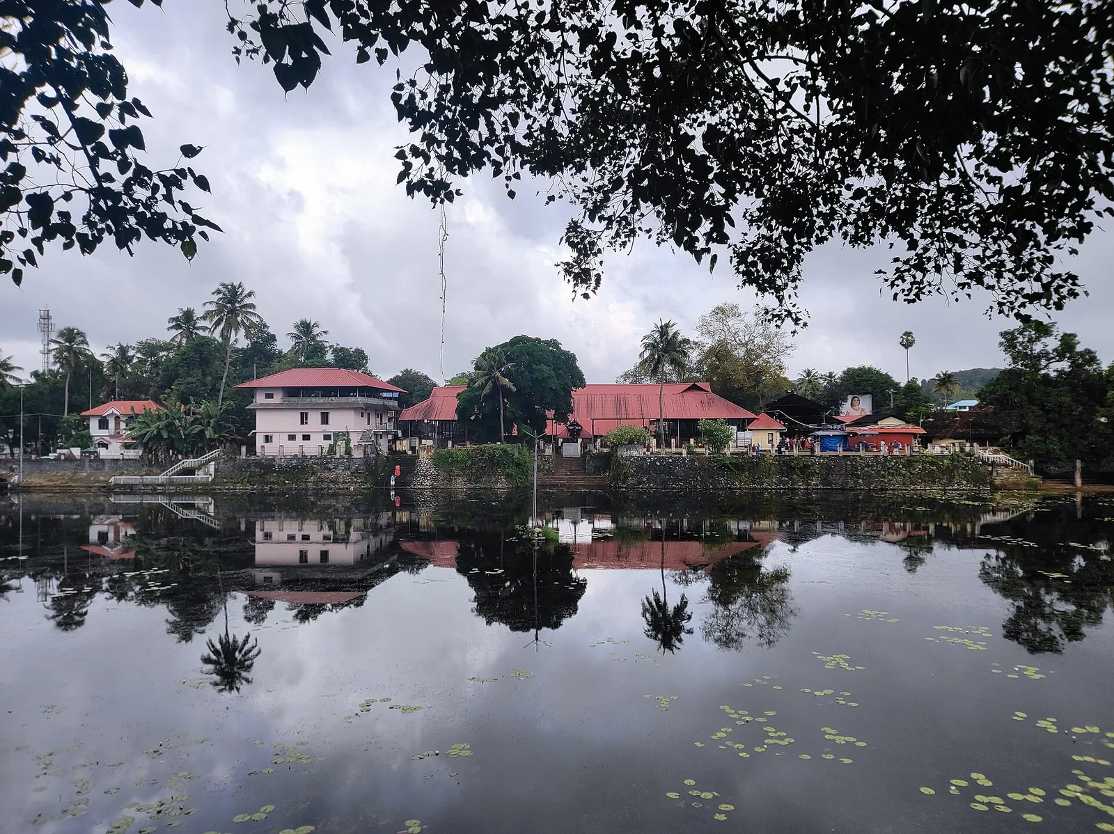
A large temple beside its own tank at Kottarakkara, where the central deity is Shiva but the sub-shrine to his son gives the place its name and its fame; the offering is unniyappam. The Kottarakkara Thampuran credited with Ramanattam, the immediate ancestor of Kathakali, is memorialised in the same town.
17.5 km · ~29 min by cab · straight line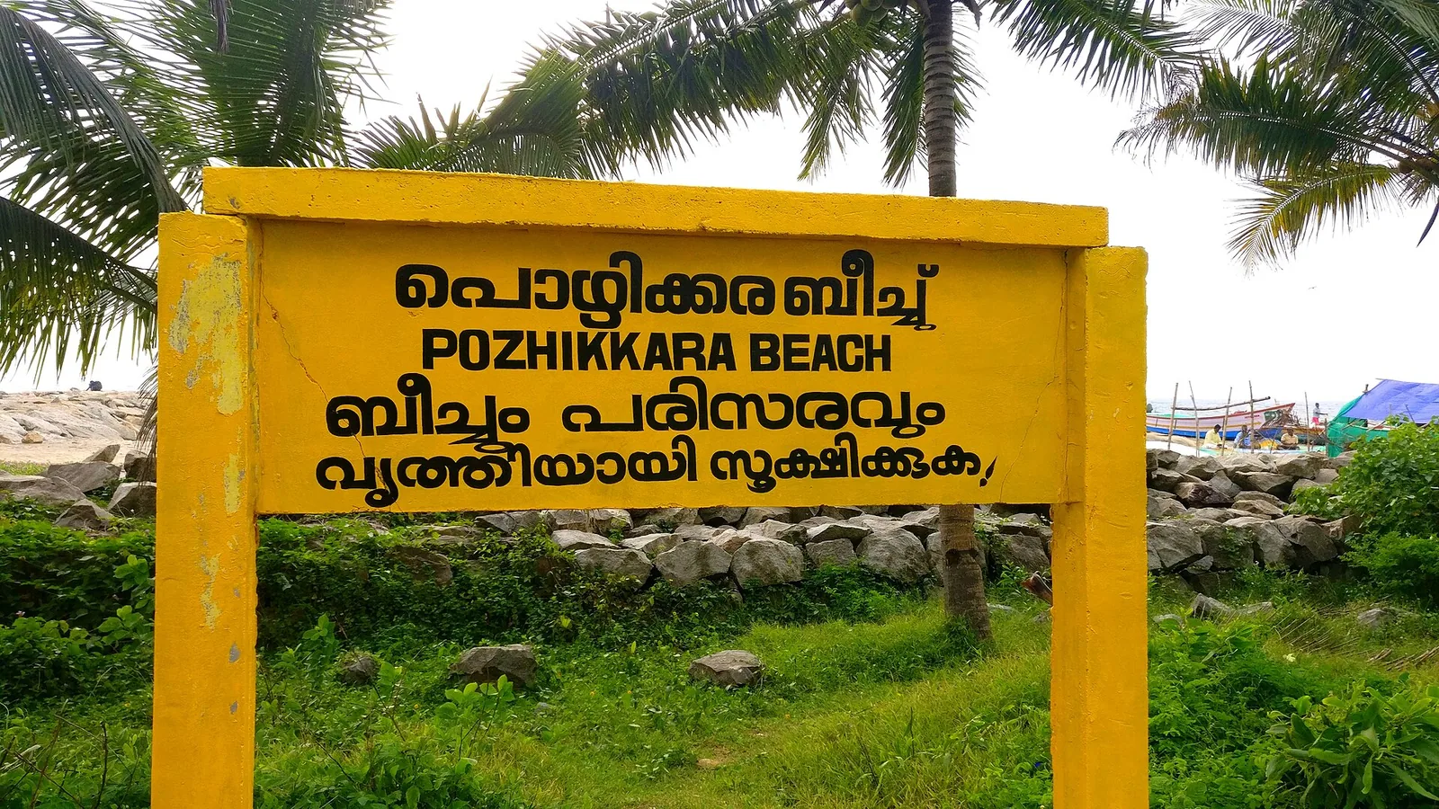
The estuary and beach at Paravur south-east of Kollam, where the Paravur backwaters meet the sea across a sandbar — a quiet spot known for its regulator bridge, the TS Canal and calm backwater-and-sea scenery.
20.0 km · ~33 min by cab · straight line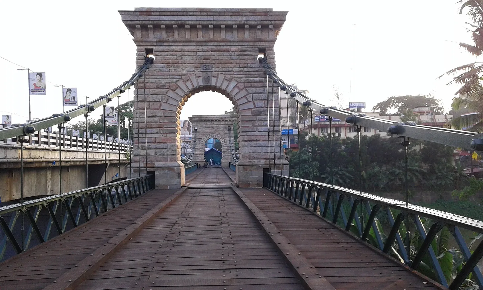
A rare 1877 Travancore-government suspension bridge over the Kallada river at Punalur, in east Kollam on the way to the ghats.
21.4 km · ~36 min by cab · straight lineA community-linked forest and wetland visitor area near Madathara, used for guided birding and nature walks rather than an unrestricted independent forest excursion.
22.4 km · ~37 min by cab · straight line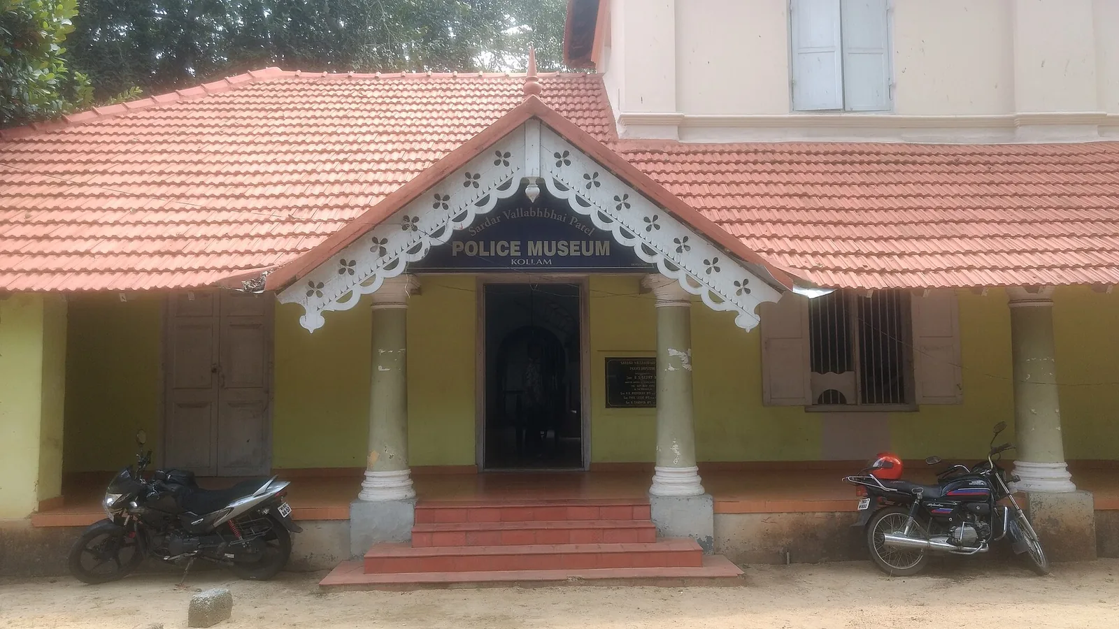
Kollam’s Sardar Vallabhbhai Patel Police Museum introduces the history of policing through arms, equipment and investigation displays. It offers an indoor history stop during a city outing. Check the museum’s session before choosing your day, and leave time to read the displays.
25.8 km · ~43 min by cab · straight line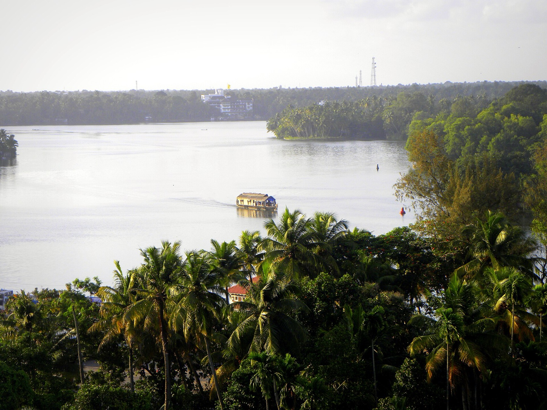
The open-water outlooks on the Munroe Island and Perumon side of Ashtamudi, where the lake widens out — the wide views the canal trips themselves do not give you.
25.9 km · ~43 min by cab · straight line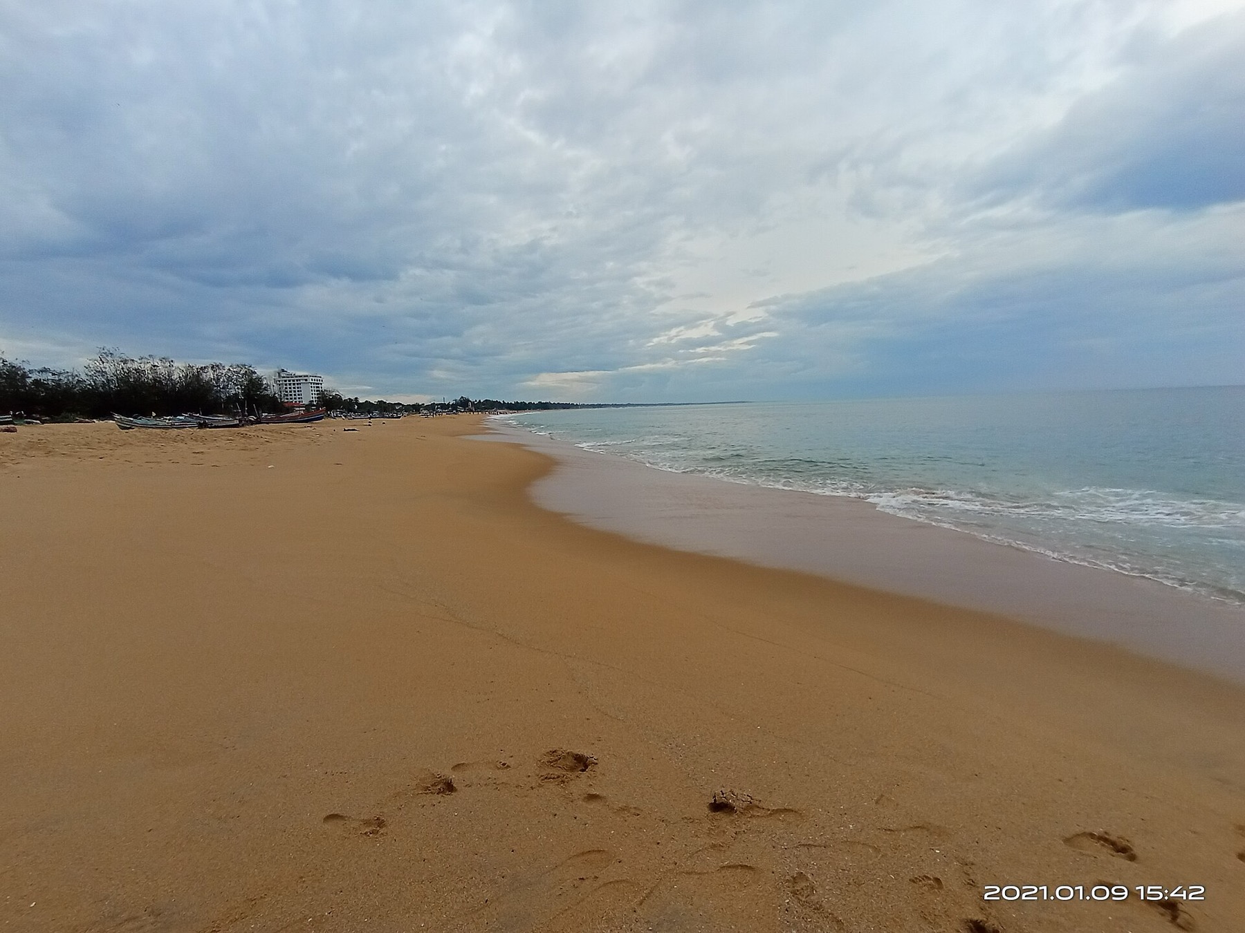
The city’s Mahatma Gandhi beach and park on the Arabian Sea, a popular evening spot near Kollam town.
25.9 km · ~43 min by cab · straight line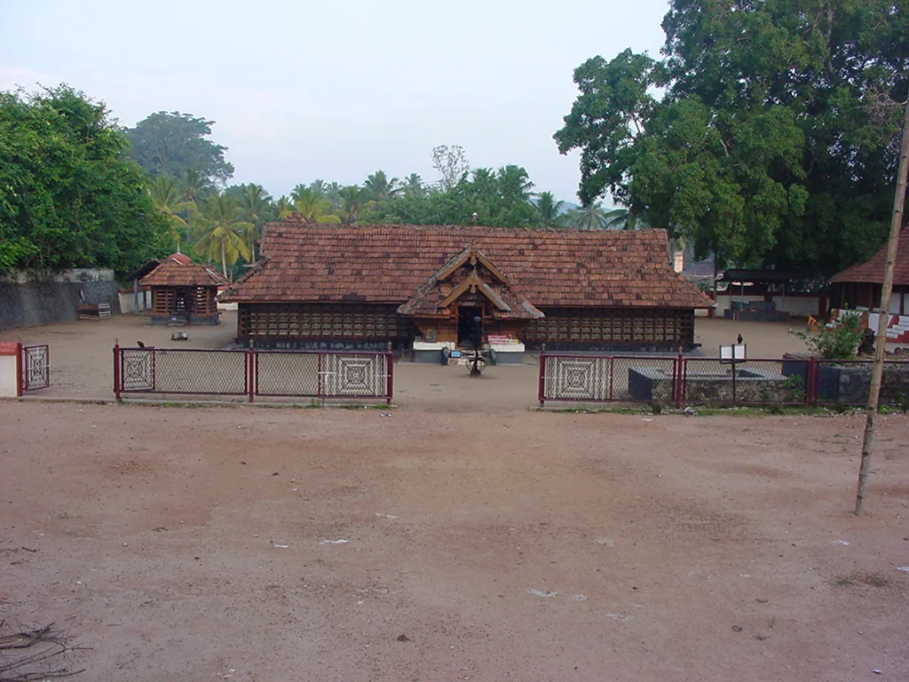
The Sastha temple on the Kollam–Shencottai road where the god is Bala Sastha, the child, and the river alongside is full of protected fish the devotees call Thirumakkal — the sacred children of the lord. Feeding them puffed rice, meenoottu, is the temple’s characteristic offering and fishing is prohibited outright; one of the two species present, Hypselobarbus thomassi, is critically endangered and endemic to the Western Ghats. Named in every published version of the Pancha Sastha. Three 15th-century sculptures from here are in the Napier Museum, Thiruvananthapuram.
26.1 km · ~43 min by cab · straight lineNot in the sense of a plunge. DTPC Kollam describes it as a small waterfall that does not particularly fall but flows through the terrain, and the photographs bear that out: the Ithikkara spreads across a wide rock apron and drops through braided chutes in steps of roughly thirty to sixty centimetres, then gathers into a broad pool. Come for the expanse of open rock and moving water, not for height.
Kollam. A Malayalam travel article opens by placing it in Thiruvananthapuram district, which is wrong — there is a Pallickal grama panchayat in both districts, which is the likely source of the confusion. The coordinate reverse-geocodes to Poredam, Kottarakkara taluk, Kollam district, PIN 691516, and DTPC Kollam publishes it as one of its own destinations.
No fee — DTPC Kollam states that outright. And no facilities of any kind: no ticket counter, no toilets, no shop, no signage at the road, no railings and nobody on duty. Bring water, take your rubbish out, and do not count on phone signal.
DTPC Kollam gives 6.7 km from Chadayamangalam bus stand, 10 km from Paripally, 30.8 km from Kollam railway station and 50.4 km from Thiruvananthapuram airport. ⚠ Aggregator sites print a different set — 9 km, 15 km and 32 km — so use the DTPC figures. From the road it is an unmade laterite track and then about 200 m on foot through a rubber estate, crossing a narrow concrete footbridge.
Treat it as an unmanaged river, because that is what it is. There is no lifeguard, no rope and no railing. The local name recorded in Malayalam is Vattakayam — the round deep pool — and the pool below the falls is opaque and of unknown depth. The 2016 account of a visit here warns that after rain the current is beyond what a swimmer can control. Wet gneiss is slick underfoot. Keep children within reach and stay off the shelf entirely if the river is up.
The flow is strongest from June to September in the monsoon, but the site is genuinely worth visiting in the dry months too — the only photographic record of it was made on 13 April and shows substantial water. Early morning and late afternoon are the comfortable hours on open rock. Avoid the apron altogether during and immediately after heavy rain.
Because until recently there were almost none. Every usable image of Vattathil comes from a single Wikimedians of Kerala user group photowalk on the afternoon of 13 April 2025 — forty-one files under CC BY-SA 4.0, credited to SijiR and Manojk. The 2016 blogger who visited noted that the falls were not on Google Maps at all.
DTPC Kollam lists the site as Vattathil Thangal Waterfalls. Thangal is the Kerala honorific for a Sayyid, a Muslim religious figure, and one Malayalam travel account reports a kabr near the falls venerated by local people of all faiths. We have not been able to corroborate that tomb in any second source — the detailed 2016 account does not mention it and none of the 2025 photographs shows it — so we record the official name and the single report, and stop there.
Post-monsoon is usually strongest; dry months are easier for access but water volume may be lower.
Entry: Free, and free because nobody is collecting. DTPC Kollam states there is no entry fee. There is also no ticket counter, no gate and no staff of any kind, so there is nothing to pay and nobody to pay it to. Timings: 🛑 NONE PUBLISHED, AND WE WILL NOT INVENT ANY. This is open riverbank with no gate — DTPC Kollam publishes no timings and there is no operator to publish them. Treat it as a daylight-only site: the approach is an unlit laterite track through a rubber estate and the rock is genuinely dangerous in the dark.
Base yourself in Chadayamangalam or a nearby town in Kollam, then confirm the last-mile route locally before leaving. Visit early and check whether the falls are open; waterfall access can close quickly in heavy rain. If the visit depends on forest, temple, boat, ferry, weather or seasonal access, check the official/local rule on the day before travel.
1 to 3 hours.
Nearby you can pair Jatayu Earth’s Center (4.4 km), Chadayamangalam hill views (4.9 km), Local temple trails (5.1 km), Kottukal Cave Temple (9.5 km).
Do not enter restricted pools or climb wet rocks. Flash-flood risk rises during heavy rain.
Written about Vattathil Waterfalls itself — its history, its legends and the arguments about them.
These guides explore Chadayamangalam and the surrounding area. Choose a visit that fits your interests, allowing separately for travel between stops.
Route-level itineraries and practical guides for the rest of Kerala.
Photographs: SijiR (CC BY-SA 4.0). Wikimedia Commons.