What to expect
Highlights
- Heritage experience at Punalur Suspension Bridge
- Architecture, local stories and old trade/cultural routes
- Good fit for guided walks and nearby cafes/shops
A rare 1877 Travancore-government suspension bridge over the Kallada river at Punalur, in east Kollam on the way to the ghats.
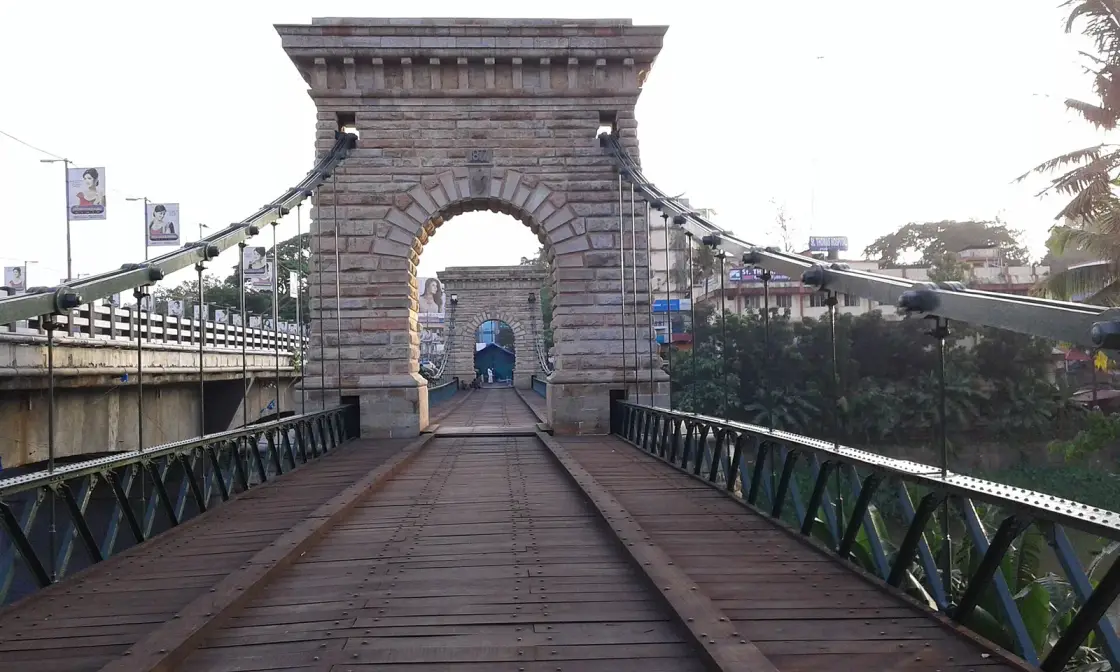
A suspension bridge hanging over the Kallada river in the middle of Punalur town, and the only one of its kind left standing in South India. It carries its own date — a carved 1877 panel with the Travancore conch beneath it, set into the masonry above each arch — which settles two arguments at once: when it was finished, and whose bridge it is.
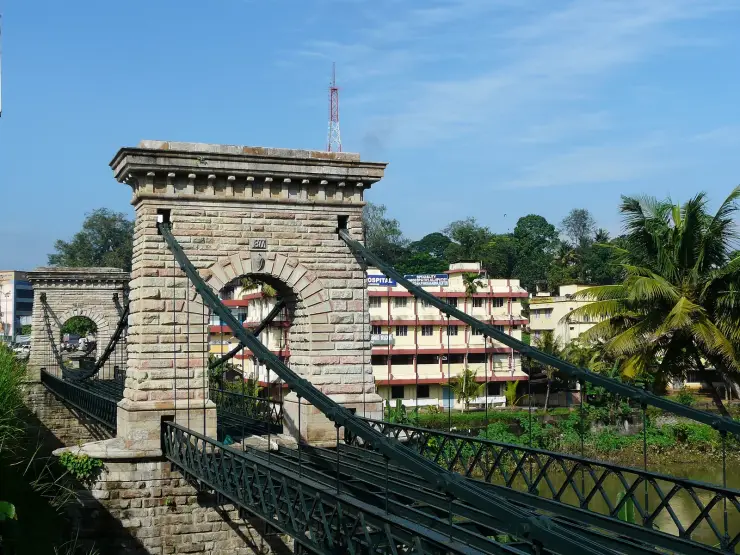
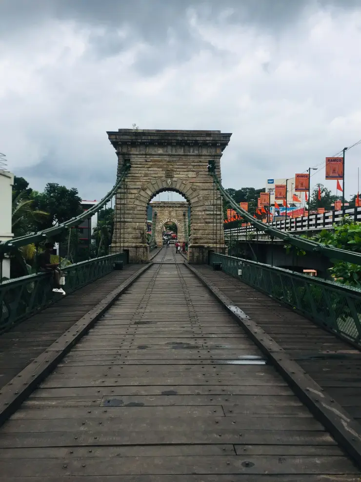
Punalur is a working town on the road east from Kollam towards the ghats, and the bridge is the reason to stop. It hangs over the Kallada river in the centre of the town: iron chains, a wooden-planked deck laid on iron bars, metal sides, and a span of around 400 feet by 20 feet wide. It is a state-protected monument, it is still walked across every day, and it looks like nothing else in Kerala.
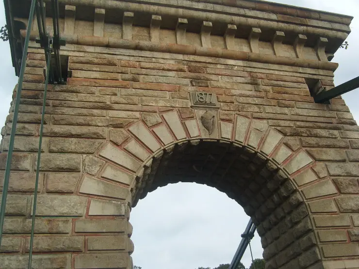
Look up at the tower before you look down the deck. Set into the masonry directly above the arch is a carved panel reading 1877, and immediately below it, on the keystone, a carved conch shell — the shankhu, the state emblem of Travancore. It is legible in photographs taken in 2007, 2012, 2016 and 2018, and it is the most useful thing on the whole structure. Almost everything written about this bridge calls it British or colonial. The bridge disagrees with them, in stone, in the place a builder puts his name.
The construction detail is worth having. The deck hangs from huge iron chains, each made up of 53 rings, and the chain ends are anchored to four large discs set into four wells. The towers the chains pass over are masonry arches, not ironwork — heavy, dentilled, more like gateways than pylons, and they are what most people actually photograph. The Department of Archaeology's own description of how the thing behaves is refreshingly blunt: the force applied at one end of the bridge is balanced by lifting up the other end. That is why it moves under you.
Which brings you to the story everyone tells. The bridge, it is said, was designed to shake when walked on so that wild animals coming down out of the forest would not cross into the town. It is a claim about intent rather than a documented decision, and there is more than one official version of it — see below. What is not in doubt is that the deck moves, that Punalur was and is the last town before the Aryankavu forest, and that the state itself has been telling this story for a very long time.
The bridge has had a second life since it stopped being a road. A concrete bridge alongside took the traffic, and after a restoration it reopened to the public in 2014 with benches and lighting; Kerala Tourism records ample lighting around it at night. The result is that the monument has become the town's promenade. The best photographs of it are not daytime heritage shots — they are of cast-iron benches under globe lamps with the floodlit arch behind, and people sitting out after dark.
Allow twenty minutes and it costs nothing. The KSRTC bus stand is 140 metres away and the railway station 1.3 kilometres, so this is one of the very few monuments in Kerala you can reach without a vehicle at all. Then carry on east: the Kallada you are standing over is the same river dammed at Thenmala, and the same one that reaches the sea past Munroe Island at the other end of the district.
Start with the claim on every signboard and aggregator page: that this is the first motorable bridge in South India. The bridge was finished in 1877. Motor cars did not reach India until the closing years of the 1890s. Nothing built in 1877 was built motorable, because there were no motors — this was a crossing for bullock carts, foot traffic and timber, and the two raised timber runners down the length of the deck are a cart arrangement, not a car one. The honest version is that it became motorable, decades after it was built, and then stopped being motorable again when a concrete bridge alongside took the traffic. We should be plain that we have found no source that explicitly disputes the claim; the disproof is simply the arithmetic, and anyone can do it.
The second claim is the state's own. The Kerala Department of Archaeology's monument record says flatly that this is the only one of its kind in South India. That was not true when it was built and it is not true as history: bridgemeister.com, an independent specialist inventory of the world's suspension bridges, lists the Kallar bridge between the Nilgiris and Coonoor, dated 1894 and demolished in 2015, and the Hogenakkal footbridge over the Kaveri. India's oldest suspension bridges — Kalighat 1822, Kidderpore 1826, Tollygunge 1827, all in Kolkata — have all been removed. English Wikipedia narrows the claim to the only suspended-deck type in south India, which is defensible. Our own preference is narrower still and, we think, more impressive: it is the only one of its kind still standing. Punalur did not win by being unique. It won by surviving.
The third is the one the bridge itself answers. Photo captions, blogs and a good deal of tourism copy call this a British bridge, built by the British, colonial. Travancore was a princely state, not British India. This is a Travancore government public work, commissioned under Ayilyam Thirunal Rama Varma, and the Travancore conch is carved above the arch beside the 1877 datestone. What is true — and more interesting than the flat claim — is that the pressure was British. A published history of Punalur (ijirem.org, Vol-6 Issue-1, January 2019) records that the principal secretary of the Madras government came to Travancore in 1872 and pressed the Diwan, T. Madhava Rao, for a bridge over the Kallada; the Diwan brushed the proposal aside; the engineer then took the plan directly to the king, who consented. British interest, Travancore money, Travancore emblem on the stone.
Then the engineer, where our own page was previously too confident. Everyone prints Albert Henry, a Scottish engineer, chief engineer of Travancore. The department cannot agree with itself on even the first part: its monument record names only Henry, a Scottish engineer, with no first name, while its sister page gives Albert Henry. And the post is the real problem. The Chief Engineer of Travancore from 1873 to 1880 was Walthew Clarance Barton, documented in his 1903 Institution of Civil Engineers obituary — Government of India PWD from 1855, to Travancore in 1863, Chief Engineer in 1873, retired 1880, credited with the Trivandrum Secretariat, University College and the old drainage system. Barton held the post for four of the bridge's six construction years, so both men cannot have been chief engineer of the same bridge. Meanwhile we could find no obituary, no membership record and no biography of any kind for Albert Henry. The surname on Kerala's most famous piece of Victorian ironwork has left almost no professional trace.
And a small one that is worth reporting because it is checkable in ten seconds. The Department of Archaeology publishes the monument's own position as 8° 88' 85.0" N 76° 90' 41.2" E. There are no 88 minutes in a degree and no 85 seconds in a minute. Read as plain decimals the figure lands about 15 km away in open country. The bridge is at 9.0181, 76.9276 — the custodian department cannot find its own monument, and it has been like that on the live page for as long as anyone has looked.
The Punalur suspension bridge crosses the Kallada river in the centre of Punalur town, in Pathanapuram taluk, eastern Kollam district. The Kerala Department of Archaeology dates the start of work to 1871 and gives completion as 1877-78; its sister page on the same site gives 1871–1877, and Kerala Tourism gives 1877. The carved datestone on the towers reads 1877.
It was built during the reign of the Travancore king Ayilyam Thirunal Rama Varma (1860–1880). The department attributes the work to a Scottish engineer it names only as Henry; its second page and English Wikipedia give Albert Henry, and Wikipedia adds that construction started under Walthew Clarance Barton, who was Chief Engineer of Travancore from 1873 to 1880 and whose career is independently documented in his 1903 Institution of Civil Engineers obituary. No professional record of any kind survives for Albert Henry.
Both the department and a peer-published history of the town give the same two labour figures: approximately 250 workers over 2,212 days. That is six years and one month, which is the internal check on a 1871 start and an 1877 finish.
The structure is suspended from large iron chains, each comprising 53 rings, whose ends are connected to four large discs attached to four wells. The deck is of wooden planks laid over iron bars, with metal sides, spanning around 400 feet with a width of about 20 feet. The chains pass over masonry arch towers. Kerala Tourism records that the materials were imported from England and that the timber used was kambam.
It was declared a protected monument in 1990 by the Department of Archaeology, Kerala. It is a state-protected monument and not an Archaeological Survey of India monument, despite a widely copied description — including on one Wikimedia Commons photograph of it — that calls it an ASI monument.
A concrete bridge nearby took the vehicle traffic (Wikipedia dates this to 1972) and the department records the outcome without a date: it is now used by pedestrians only. Restoration work followed, and Kerala Tourism records that after renovation the bridge was opened to the public in 2014, with seating arrangements and ample lighting around it at night. Wikipedia dates the rebuild to 2013 and a programme running to 2018; those years are attributed, not asserted.
The Kallada is crossed here at the point where the coastal plain meets the road to the ghats. The idea of the Kollam–Tirunelveli railway along the same corridor was first conceived in 1873, and the line through Punalur to Sengottai opened on 26 November 1904.
It is the only suspension bridge of its kind still standing in South India — the others that once existed have been demolished.
It carries its own evidence: a carved 1877 panel with the Travancore conch below it, on the tower face above each arch, which is the answer to everyone who calls this a British bridge.
The construction is still legible from the bank: iron chains of 53 rings each, anchored to four discs in four wells, over masonry arch towers, carrying a plank deck on iron bars.
It moves under you, and three arms of the same government explain why in three different ways.
It is free, unstaffed and open, 140 metres from the KSRTC bus stand — one of the few monuments in Kerala you can reach with no vehicle at all.
It is lit at night and lined with benches, so evening is a real visiting time here rather than a fallback.
Road km to Kollam; ghat roads and traffic vary — allow extra.
November to February and early mornings are best for walking; avoid midday heat where possible.
Live forecast loads in your browser.
Sun and moon are calculated for this location and shown in IST. Photography windows are the hour around sunrise and sunset; the sunset bearing is degrees clockwise from true north. Moon phase is accurate to about half a day.
These are official or public-sector eco offerings that match this place, town or forest destination. Confirm availability, permits, tariffs and reporting times with the official operator before travel.

Billed as India’s first planned ecotourism destination — the operator’s own phrase, not an award — with adventure activities, nature trails, an elevated walkway and riverine paths.
Official source →Swiss-cottage style tented camping near the Thenmala forest setting, listed by Kerala Tourism’s ecotourism programme page.
Official source →Tented stay along the Kallada River near Parappar Dam, positioned as a forest-edge camping option.
Official source →Simple official tourist-home accommodation at Thenmala for travellers using the ecotourism zones.
Official source →Dormitory accommodation at Thenmala, useful for budget groups and activity-focused travellers.
Official source →
Guided trekking and boating access into the Shendurney forest landscape from the Thenmala Deep Woods zone.
Official source →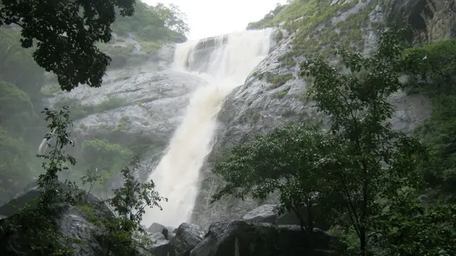
Forest waterfall visit near Aryankavu/Thenmala, listed by Kerala Tourism among ecotourism programmes.
Official source →Birding-focused forest landscape listed by Kerala Tourism as an ecotourism destination and programme.
Official source →Browse listed stays, food, activities, sights, shops and rentals around Punalur Suspension Bridge. Check each listing’s locality and contact the business directly for current arrangements.
Thenmala’s adventure zone is part of the ecotourism complex. Compare activities, participant requirements and tickets; waterfall and sanctuary visits have separate arrangements.
Thenmala Ecoresort is an accommodation option at Ottakkal. Check the approach, room package and onward journeys to the ecotourism zones or Palaruvi before booking.
Kerala Tourism ecotourism page for Shendurney trekking and camping programmes. Shendurney, Trekking, Camping.
Shendurney Wildlife Sanctuary is a forest destination in the Thenmala landscape. Arrange a permitted programme through the forest service; a general activity ticket does not include sanctuary entry.
Rudragiri Resort identifies a Thenmala West P.O. address and direct phone on Facebook and shows its exterior in a recent Instagram post. Confirm the road entrance, exact room, meals, available activities, complete rate and cancellation policy directly; the exterior photograph does not establish the room offered.
Garden Restaurant is a meal-stop option in Thenmala’s ecotourism circuit. Ask about service during your visit, especially if spending the day across several zones.
Thenmala Ecotourism provides bookings for its zones and activities. Choose a programme matching your group’s time and abilities, checking what each ticket includes.
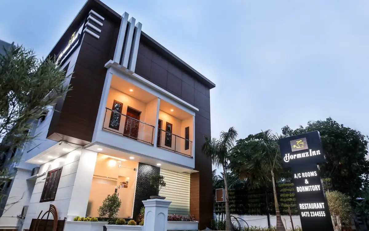
Hormuz Inn is in Ottakkal in the Thenmala area of Kollam district. The property website describes deluxe rooms and suites with balconies looking towards the surrounding trees, streams and hills. That makes the room's outlook part of the appeal for a stay based around Thenmala's countryside.
Book with the place itself. India’s cyber-crime coordination centre warned in April 2025 that convincing copies of hotel and pilgrimage booking sites are being pushed through sponsored search and social ads, taking payment for rooms the property never hears about. Use the contact and source details on each profile to confirm the exact business and booking channel. A directory entry or map pin alone does not establish an operator’s identity or current availability. Roampedia takes no commission and does not collect booking payments. If a booking page reached you through an ad, check the address bar against the property’s own site before you pay. Fraud can be reported on cybercrime.gov.in or on 1930.
Find food, accommodation and activities across Thenmala. Browse the guides for places to eat, stay and explore along your route.
10 more places around Thenmala. Open a guide to plan the visit and onward journey.
A community-linked forest and wetland visitor area near Madathara, used for guided birding and nature walks rather than an unrestricted independent forest excursion.
20.4 km · 24 min drive
Eco-tourism area with forest walks, dam views and adventure activities.
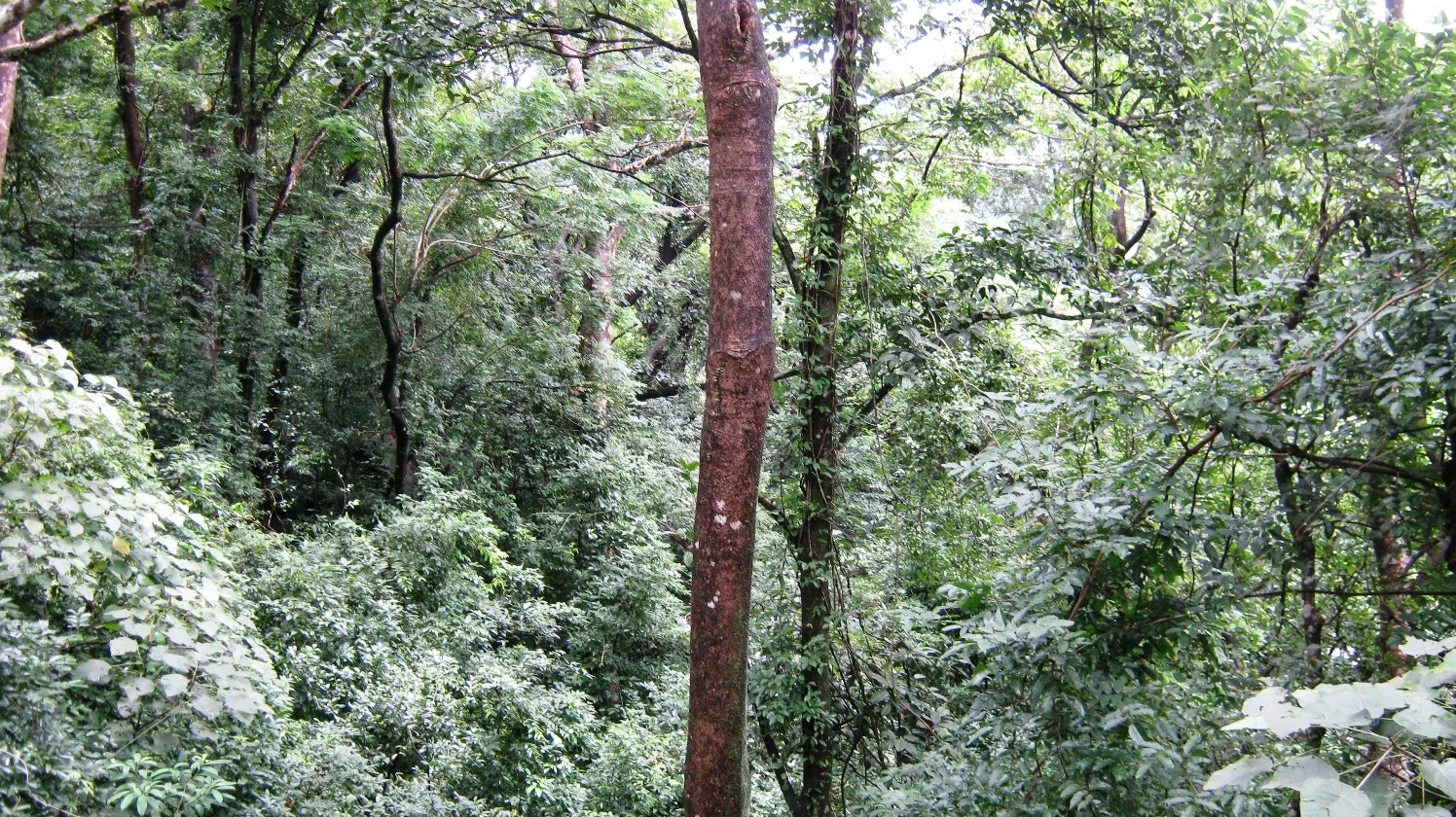
15.9 km · straight line
Twenty Forest Department programmes in the Shendurney Wildlife Sanctuary — walks of one to six hours, a dawn birding trail, boat and vehicle safaris and four camps — booked at the wildlife office at Thenmala. Rates are per group and include 18% GST.
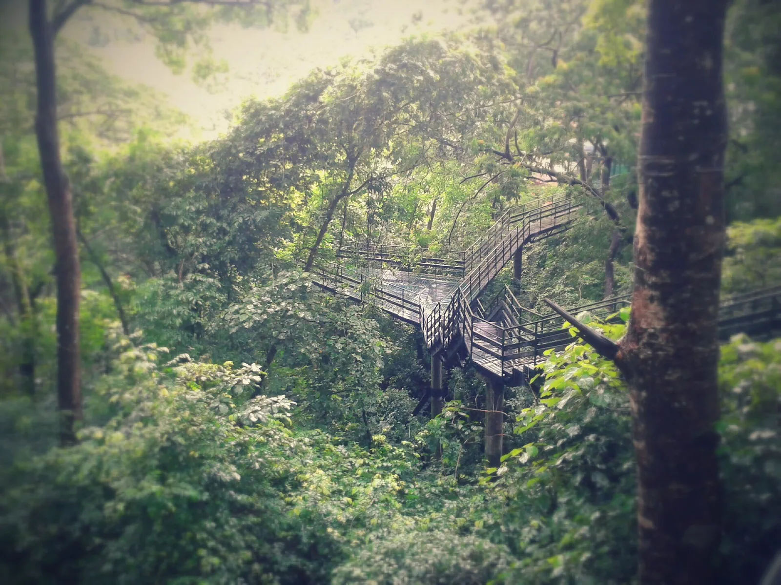
19.7 km · 20 min drive
Guided trekking trails at Thenmala, billed as India’s first planned eco-tourism destination, through the Shendurney forests and dam catchment in Kollam.
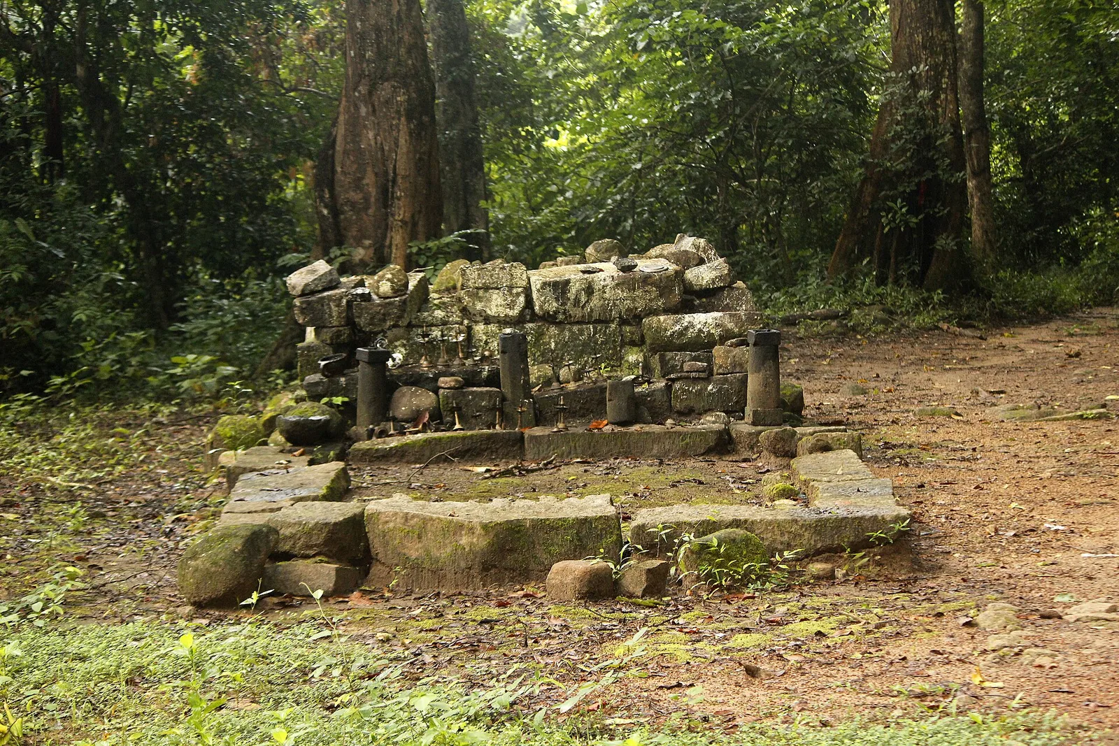
A valley settlement inside Shenduruney Wildlife Sanctuary, reached by 11–15 km of forest road from Aryankavu, with a ticketed Forest Department viewpoint, a departmental safari and guided walks beyond the village.
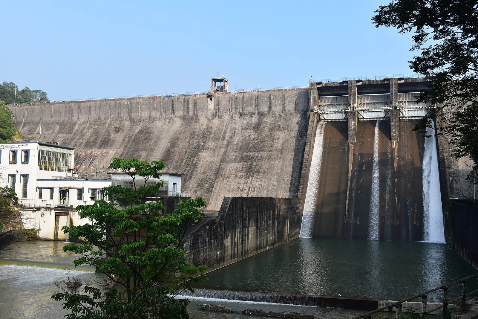
20.6 km · 24 min drive
The Parappar dam across the Kallada river at Thenmala, built for irrigation — the reservoir behind it is the water the eco-tourism area is built around, and the catchment upstream is Shendurney sanctuary.
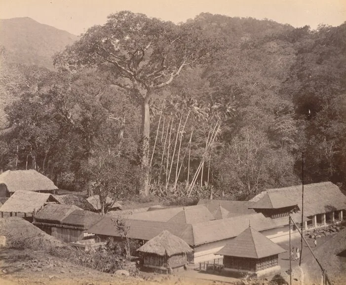
The Sastha temple on the old Kollam–Sengottai road and rail route into Tamil Nadu, where Ayyappa is worshipped married to Pushkaladevi rather than celibate — with a forest village, a railway pass and the Palaruvi road around it.
15.9 km · straight line
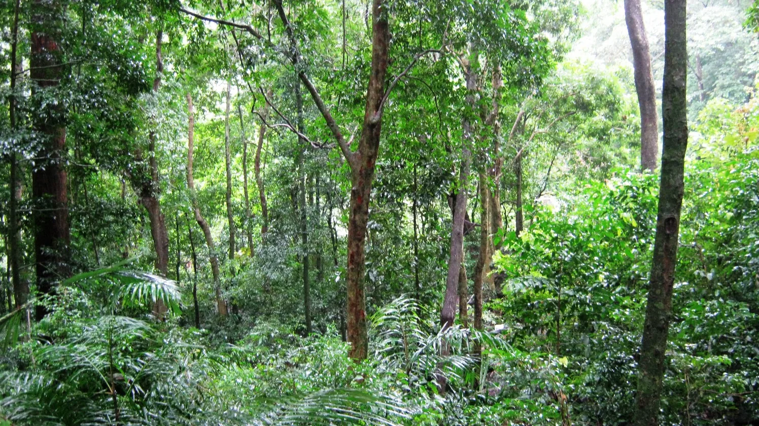
A protected evergreen forest in the Agasthyamalai Biosphere Reserve east of Thenmala, named for the Chenkurinji tree and centred on the Parappar reservoir.
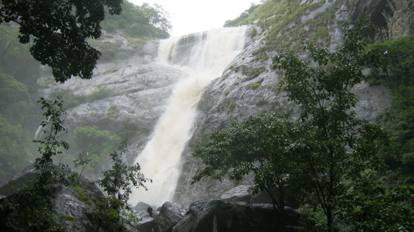
Tall forest waterfall near the Aryankavu side of the Western Ghats, reached by forest shuttle from the highway.
19.5 km · straight line
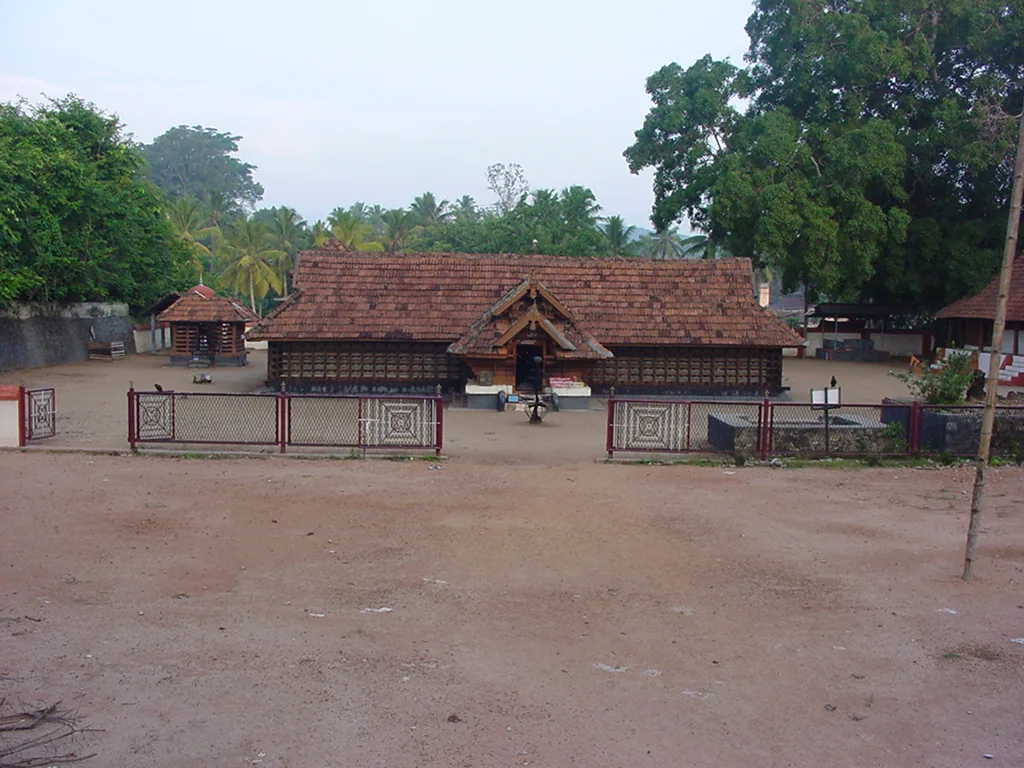
The Sastha temple on the Kollam–Shencottai road where the god is Bala Sastha, the child, and the river alongside is full of protected fish the devotees call Thirumakkal — the sacred children of the lord. Feeding them puffed rice, meenoottu, is the temple’s characteristic offering and fishing is prohibited outright; one of the two species present, Hypselobarbus thomassi, is critically endangered and endemic to the Western Ghats. Named in every published version of the Pancha Sastha. Three 15th-century sculptures from here are in the Napier Museum, Thiruvananthapuram.
Roampedia is commission-free — own or know a stay, eatery, guide or shop near Punalur Suspension Bridge? Submit public business details for review.
Add a nearby businessEntry: Free. No ticket, no gate and no staff — pedestrians only, with a concrete bridge alongside for traffic.
In the centre of Punalur on the Kallada river, about 45 km east of Kollam and 19–20 km west of Thenmala. The KSRTC bus stand is 140 m away and the bridge is visible from it; Punalur railway station on the Kollam–Sengottai line is about 1.3 km (5 minutes by auto). The riverside Hanging Bridge Park at the west end is where the benches and the best view are.
If you are travelling by bus or ferry, check the return service with the operator before setting out. Leave time to reach the stop or jetty after your visit.
Ask at the bus stand for the time of the last service back, not the next one. If you miss it, an auto or app cab is the fallback — agree the fare before you get in.
If you need step-free access, contact the site before travelling. Ask about a level entrance, steps along the route, the nearest drop-off point, seating and accessible toilets.
Charge cap and free-transaction limits: Reserve Bank of India, ATM FAQ updated 4 July 2025; checked 4 October 2026.
These services are listed within about 1.2 km of Punalur Suspension Bridge. Walking distances follow mapped routes; access and opening hours can change. Other services may be closer but are not included here.
Published emergency and visitor-assistance contacts. For an immediate emergency, call 112. Shared Kerala contact sources checked 4 October 2026; publication does not establish a tested live response.
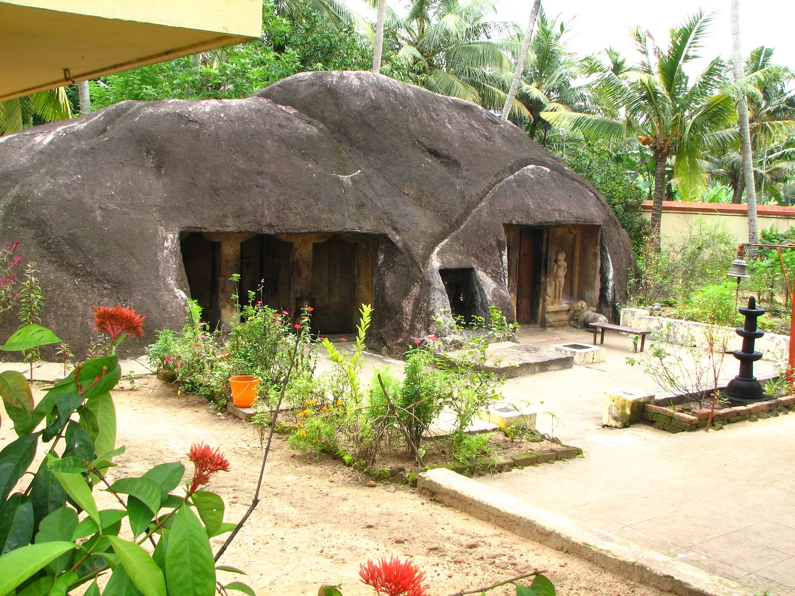
A monolithic rock-cut cave temple near Anchal/Kadakkal in south Kollam, carved with a Shiva shrine.
14.5 km · straight lineTwenty Forest Department programmes in the Shendurney Wildlife Sanctuary — walks of one to six hours, a dawn birding trail, boat and vehicle safaris and four camps — booked at the wildlife office at Thenmala. Rates are per group and include 18% GST.
15.9 km · straight lineA protected evergreen forest in the Agasthyamalai Biosphere Reserve east of Thenmala, named for the Chenkurinji tree and centred on the Parappar reservoir.
15.9 km · straight line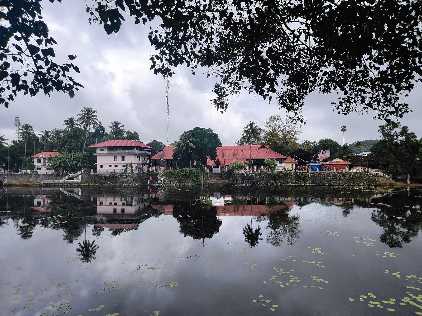
A large temple beside its own tank at Kottarakkara, where the central deity is Shiva but the sub-shrine to his son gives the place its name and its fame; the offering is unniyappam. The Kottarakkara Thampuran credited with Ramanattam, the immediate ancestor of Kathakali, is memorialised in the same town.
17.4 km · straight line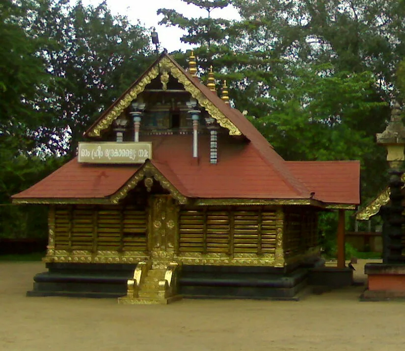
A short drive linking the named temples around Chadayamangalam: the Kottukkal rock-cut cave, the four-temple complex around one pond at Kadakkal, and the sacred groves, serpent shrine and kalari shrine of the surrounding belt.
17.5 km · straight line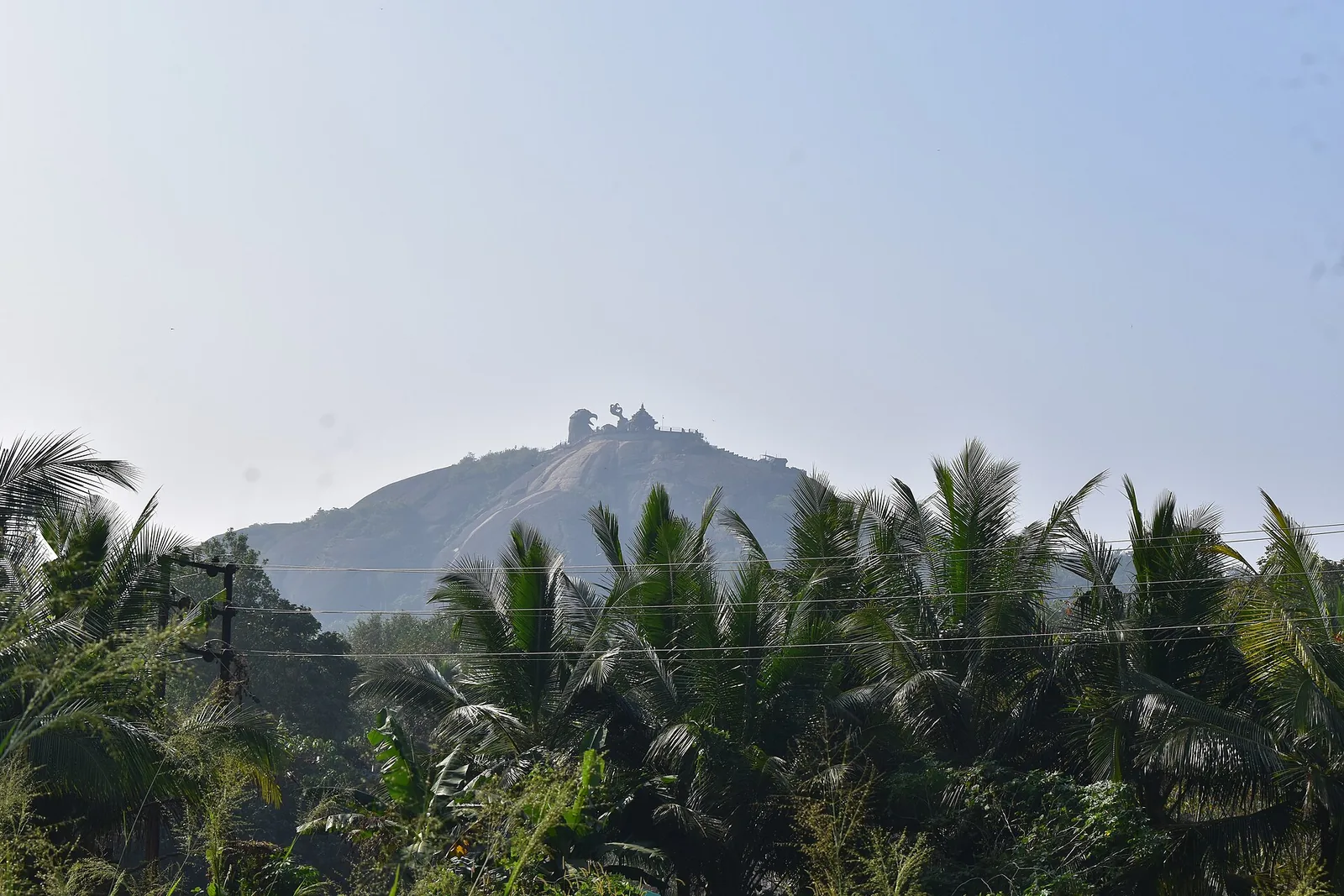
The rock outcrops and open high ground around Chadayamangalam, looking over the country between Kollam and the ghats — the landscape the Jatayu sculpture sits in, seen from ground level and without a ticket. The bare domes here are crystalline basement rock, not the laterite that mantles the ground between them.
17.8 km · straight line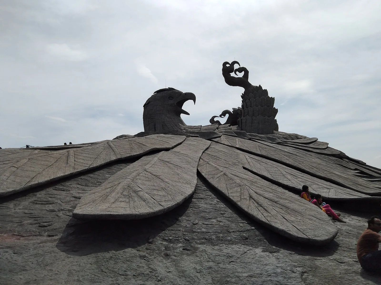
Hilltop sculpture park and viewpoint at Chadayamangalam, home to the world’s largest bird sculpture, reached by cable car.
18.7 km · straight lineThe Sastha temple on the Kollam–Shencottai road where the god is Bala Sastha, the child, and the river alongside is full of protected fish the devotees call Thirumakkal — the sacred children of the lord. Feeding them puffed rice, meenoottu, is the temple’s characteristic offering and fishing is prohibited outright; one of the two species present, Hypselobarbus thomassi, is critically endangered and endemic to the Western Ghats. Named in every published version of the Pancha Sastha. Three 15th-century sculptures from here are in the Napier Museum, Thiruvananthapuram.
19.5 km · straight lineGuided trekking trails at Thenmala, billed as India’s first planned eco-tourism destination, through the Shendurney forests and dam catchment in Kollam.
19.7 km · 20 min driveEco-tourism area with forest walks, dam views and adventure activities.
20.4 km · 24 min driveThe Parappar dam across the Kallada river at Thenmala, built for irrigation — the reservoir behind it is the water the eco-tourism area is built around, and the catchment upstream is Shendurney sanctuary.
20.6 km · 24 min drive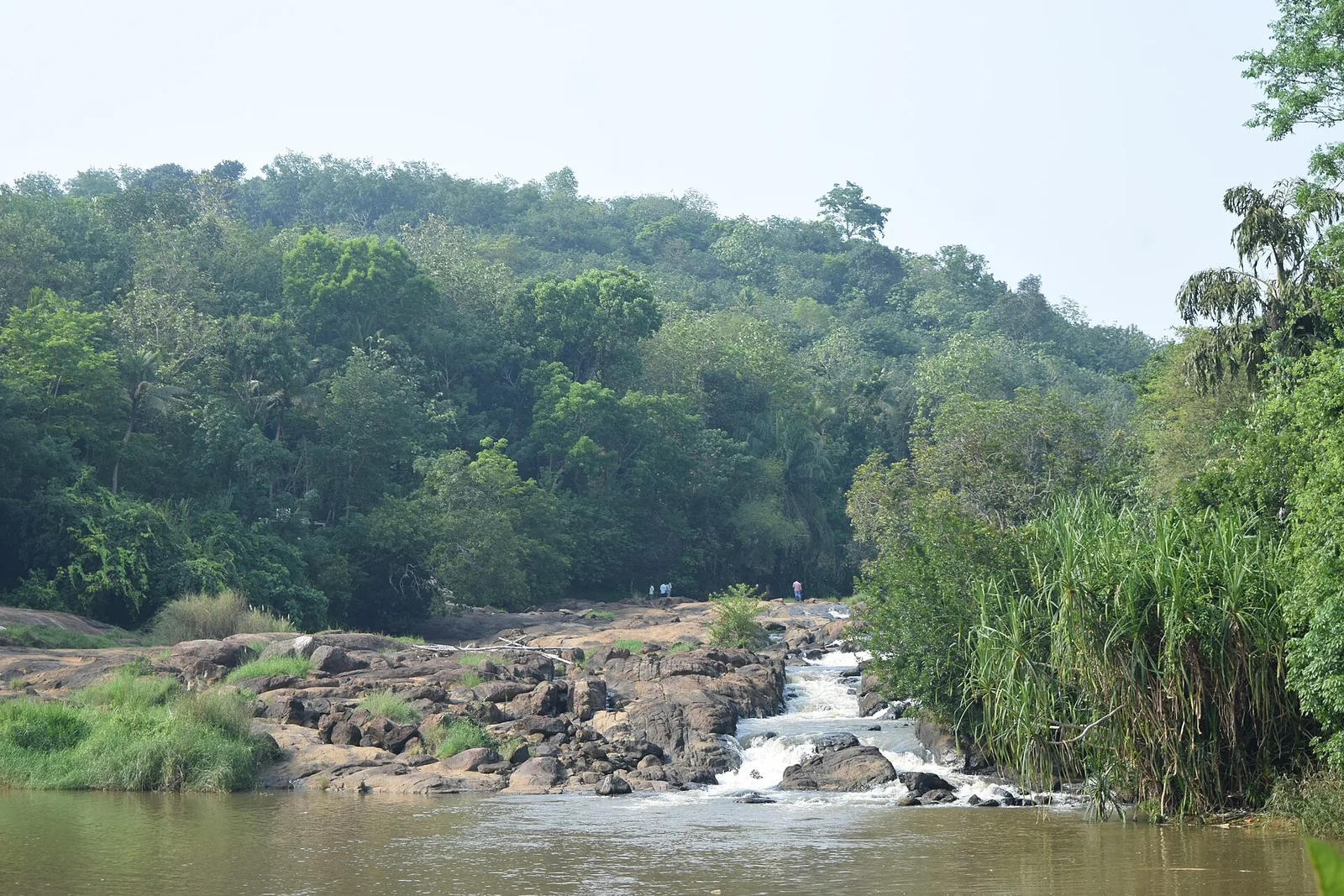
A wide rock apron on the Ithikkara near Kalladathanni, where the river slides and braids rather than plunges — DTPC Kollam’s own description is “a small waterfall that does not particularly fall”. Free, unstaffed and unsigned, about 200 m on foot through a rubber estate. ⚠ No lifeguard and no railings; the local name Vattakayam means the round deep pool.
21.4 km · straight lineRoad and walking figures are route estimates, with travel times dependent on access, traffic and conditions. Figures marked “straight line” show direct separation and do not describe a road or walking route. Fare estimates use Kerala’s 26 April 2022 auto/taxi notification and exclude waiting, night and applicable one-way surcharges. Confirm the current meter or operator quote before travelling. Routing: © openrouteservice.org by HeiGIT | Map data © OpenStreetMap contributors
Nearby toilets, pharmacies, ATMs, seating and vets are community-mapped and may be incomplete or out of date. Map data © OpenStreetMap contributors | Walking times © openrouteservice.org by HeiGIT
Yes. The Department of Archaeology's own record says it is now used by pedestrians only, with a new concrete bridge alongside for traffic; Kerala Tourism says the same; OpenStreetMap tags it a footway with foot access. There is no gate, no ticket and no staff — you simply walk on.
That is the account the state gives, and it is worth being precise about it. The archaeology department and most retellings say the bridge was built to wobble so that wild animals coming out of the forest would not cross into the town. Kerala Tourism gives a different version — that the bridge itself was built to keep out wild animals that were destroying crops — which is a claim about the bridge, not about the deck. A published history of the town gives a third origin with no animals in it at all. None of the three has a contemporary document behind it. What is certain is that the deck moves, and the department's own explanation of the mechanics is that force applied at one end is balanced by lifting the other end.
Work began in 1871 during the reign of Ayilyam Thirunal Rama Varma of Travancore (1860–1880). The completion date is given as 1877 by Kerala Tourism and by the carved datestone on the bridge itself; the archaeology department's monument record says 1877-78 and its sister page says 1871–1877. The work is attributed to a Scottish engineer named as Henry, or Albert Henry, with Walthew Clarance Barton — Chief Engineer of Travancore from 1873 — above him.
No. Travancore was a princely state, not British India, and this is a Travancore government public work — the Travancore conch is carved above the arch beside the 1877 datestone. The pressure for it was British: a published history records the principal secretary of the Madras government pressing the Diwan for a Kallada crossing in 1872, the Diwan refusing, and the engineer taking the plan directly to the king.
It is universally described that way and the claim does not survive its own dates. The bridge was completed in 1877; motor cars did not reach India until the late 1890s. It was built for carts, feet and timber, became motorable later, and stopped being motorable when a concrete bridge took the traffic. We have found no source that disputes the claim outright — the arithmetic does it.
It is the only one of its kind still standing. The state's own monument record says 'the only one of its kind in South India', but a specialist inventory of the world's suspension bridges lists others in the south, including the 1894 Kallar bridge near Coonoor, demolished in 2015, and the Hogenakkal footbridge. Punalur is the survivor rather than the sole example.
The deck hangs from large iron chains, each made up of 53 rings, with the chain ends connected to four large discs attached to four wells. The deck itself is wooden planks over iron bars with metal sides, spanning around 400 feet and about 20 feet wide, and the chains pass over masonry arch towers. Kerala Tourism records that the materials came from England and that the timber was kambam.
No — it is a state-protected monument, declared in 1990 by the Kerala Department of Archaeology. Several tourism sites and even the description on one Wikimedia Commons photograph of it call it an Archaeological Survey of India monument, which is wrong. The department publishes the year of notification and no number or gazette date.
The bridge is in the middle of Punalur town. The KSRTC bus stand is 140 metres away and you can see the bridge from it; Punalur railway station on the Kollam–Sengottai line is about 1.3 km, five minutes by auto. Punalur is roughly 45 km east of Kollam and 19–20 km west of Thenmala. There is a small riverside park at the west end — mapped as Hanging Bridge Park — and that, rather than the deck, is where the benches and the view are.
Two different visits. Early morning or late afternoon for the datestone and conch, which need low side light to read on the tower face. And after dark: the bridge is floodlit, there are benches at both ends, and the night view is the one the town itself uses. Allow twenty minutes for either.
November to February and early mornings are best for walking; avoid midday heat where possible.
Entry: Free. No ticket, no gate and no staff — pedestrians only, with a concrete bridge alongside for traffic. Timings: No gate, so effectively open at any hour. It is floodlit at night and has benches at both ends, so evening is a genuine visiting time — Kerala Tourism records 'ample lighting around it at night'. For the carved 1877 datestone and the Travancore conch on the tower face, come with low side light: early morning or late afternoon.
Base yourself in Thenmala or a nearby town in Kollam, then confirm the last-mile route locally before leaving. Walkable heritage areas are best done slowly; combine nearby streets, museums, markets and food stops. If the visit depends on forest, temple, boat, ferry, weather or seasonal access, check the official/local rule on the day before travel.
1 to 3 hours.
Nearby you can pair Kottukal Cave Temple (14.5 km, approximate straight-line separation), Shendurney trek (15.9 km, approximate straight-line separation), Shendurney Wildlife Sanctuary (15.9 km, approximate straight-line separation), Kottarakkara Sree Mahaganapathi Temple (17.4 km, approximate straight-line separation).
Watch traffic on narrow heritage streets. Keep valuables close in crowded markets.
Written about Punalur Suspension Bridge itself — its history, its legends and the arguments about them.
These guides explore Thenmala and the surrounding area. Choose a visit that fits your interests, allowing separately for travel between stops.


Route-level itineraries and practical guides for the rest of Kerala.
Photographs: Sandeepkrishnantm (CC BY-SA 4.0), Sambath Raj 009 (CC BY-SA 4.0), Sprouter13 (CC BY-SA 4.0), Sailesh (CC BY-SA 3.0), Jpaudit (CC BY-SA 3.0), Athul Shaji (CC BY-SA 4.0), Danny Reji Joseph (CC BY-SA 4.0), Akash P S (CC BY-SA 4.0), Haravinth rajan (CC BY-SA 4.0), Jaseem Hamza (CC BY 3.0). Wikimedia Commons.