What to expect
Highlights
- Reservoir and dam views at Thenmala Dam
- Engineering landmark or garden/viewpoint stop
- Pair with nearby hill, forest or town routes
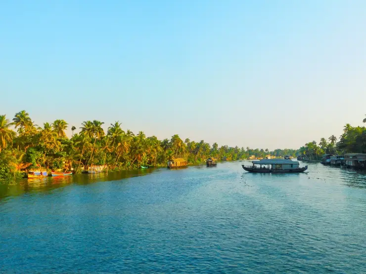
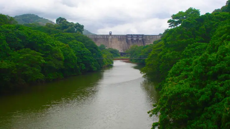
The Parappar dam across the Kallada river at Thenmala, built for irrigation — the reservoir behind it is the water the eco-tourism area is built around, and the catchment upstream is Shendurney sanctuary.
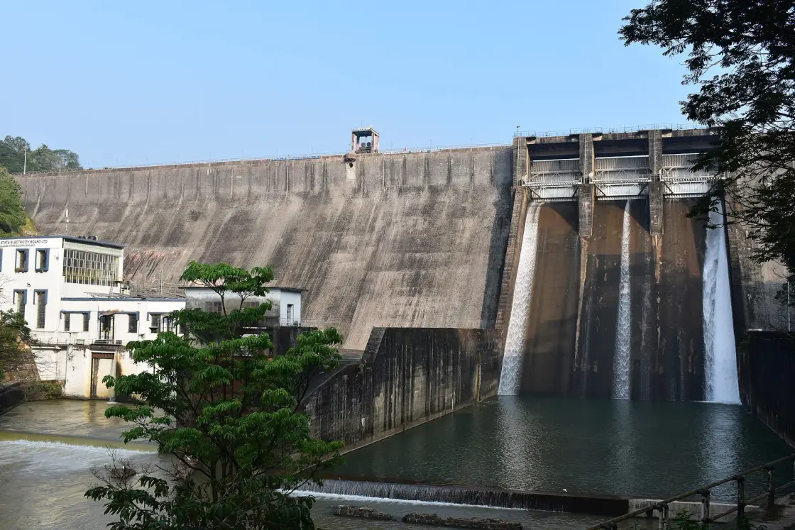
A masonry wall across the Kallada river, holding back the reservoir that the whole of Thenmala's eco-tourism is arranged around. It is the least photogenic thing here and the most consequential — and what it did to the coast eighty kilometres downstream is the story nobody tells at the viewpoint.
The dam at Thenmala impounds the Kallada where it comes down out of the Agasthyamalai hills, and the sheet of water behind it is what you are actually looking at from every viewpoint, walkway and boat in the eco-tourism area. The dam came first; the tourism was built around the reservoir afterwards, which is the reverse of how most people assume it happened.
It is not, strictly, a dam across the Kallada. Three rivers — the Shendurney, the Kulathupuzha and the Kazhuthurutty — meet inside the impoundment, and the Forest Department's own description is of a dam built across all three. The Kallada as a named river effectively begins at this wall.
As a structure it rewards understanding rather than admiration. It is a straight gravity masonry dam, 335 m long and 85.35 m high above its deepest foundation, built in twelve blocks numbered left to right, with three gated ogee spillways of 12.19 by 9.14 metres between two non-overflow sections. Those first two numbers are the only ones every official source agrees on.
The engineering here is usually written off as having no elegance and needing none, on the grounds that the job is storage and irrigation. Power goes unmentioned. There is a 15 MW hydroelectric station standing at the toe of this wall, two 7.5 MW vertical Kaplan machines, and it is visible in the corner of almost every downstream photograph of the dam with KERALA STATE ELECTRICITY BOARD LTD, KALLADA HYDRO ELECTRIC PROJECT painted on it. The Irrigation Department's own mission statement for the project says water in the canals for irrigation and power generation. We were the only ones who missed it.
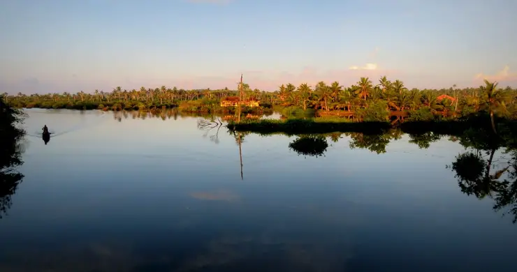
The reservoir is the good part. It runs back into forested hills with no development on the far shore, because the far shore is Shendurney Wildlife Sanctuary and cannot be developed. That is why the view holds up: you are looking at a managed water body with a protected catchment behind it, and the absence of buildings is a legal fact rather than an accident.
One practical thing that no listing states plainly: the boating is not at the dam. It runs on the same reservoir at Pallamvetty, beside the project's earthfill saddle dam, about 2.5 km from the main wall — a different place, reached separately, with a battery shuttle to the boarding point. Anyone booking boating at Thenmala Dam is boating nowhere near the structure in the photographs.
The other thing to know before you drive is that this lake has a season of its own. It fills after the southwest monsoon and is drawn down hard through the hot months, because the level is set by irrigation releases rather than by weather. In late April 2026 it stood at 34% of capacity with wide bands of exposed red bank. A March-to-May visitor sees a very different lake from the brochure.
The best hour is early, before the day's visitors arrive and while there is still mist sitting on the water against the forest. By late morning the light is hard and the reservoir looks like what it is — a large flat body of water — rather than the thing that is worth the drive.
This is the most thoroughly documented dam in Kollam district, and almost every published number about it — including the Central Water Commission's — is contradicted by another official number about it.
Start with the name. Its name is often given as the Parappar dam, with Thenmala merely the place. That was half wrong, and we are correcting it. Every primary source calls it Kallada. The 1984 Kerala government notification that created Shendurney sanctuary says Kallada Dam and Kallada Reservoir. The Central Water Commission registers it as Kallada (Parappar), dam code KL07HH0037. The World Bank's 1982 appraisal calls it the Kallada dam. KSEB calls the water the Kallada Reservoir. The Irrigation Department declines to name it at all and describes a gravity masonry dam across the Kallada river at Parappar near Thenmala. So Parappar is the site exactly as Thenmala is the town — and the name the government files it under is the one nobody uses.
Then the register itself. The Central Water Commission's National Register of Large Dams puts this dam in Pathanamthitta district. It is in Kollam, Punalur taluk — KSEB says so, the Irrigation Department says so, the 1984 notification says so, and the coordinates in the register's own adjoining column say so. The same row classifies it as an earthfill embankment. It is not: the Irrigation Department calls it a straight gravity masonry dam, the World Bank's appraisal calls it a gravity masonry dam twice, and the downstream face in every photograph is stepped masonry with three spillway chutes. The CWC approved the design of a masonry gravity dam and then registered it as an embankment. There is an earthfill element here — a 225.7 m saddle dam at Pallamvetty, 12.51 m at its highest — but that is not the 85.35 m structure the register is describing.
Nobody agrees how much water is behind it either. The World Bank's design figure for live storage was 488 million cubic metres; the CWC says effective storage 507 million and gross 524 million; KSEB says 472. The water spread is worse: KSEB gives 13.72 square kilometres, the CWC gives 23, and the Forest Department's own sanctuary literature gives 26. The highest is nearly double the lowest, which is not a rounding difference. The catchment is the one thing everyone agrees on, at about 549 square kilometres.
And here is the fact that cuts in Thenmala's favour, which we had not previously reported. The CWC's register lists a purpose code for every large dam in India, and the code for this one is I/H/S/T — irrigation, hydropower, water supply and, formally, tourism. Only five of Kerala's sixty-one registered large dams carry that T, and at 85.35 m this one is more than twice the height of the other four. India's first planned eco-tourism destination is not purely marketing: tourism is a statutory purpose of this dam in the Government of India's own register.
One more, from the department that owns it. Nearly every tourism page calls the Kallada scheme the second largest irrigation project in Kerala. The Kerala Irrigation Department's own page opens by calling it the largest. The related claim that this is the longest reservoir in the state is repeated everywhere and sourced nowhere, so we do not repeat it.
The downstream consequence is documented and is almost never mentioned here. The Kallada's floods used to carry sediment to the low islets at the river's mouth, at Munroe Island, and rebuild them each year against the tide. The Kallada Irrigation Project and this reservoir cut that supply. Munroe Island has been losing land ever since — measured at about 14% of Munroe Thuruthu, with Cheriyakadavu at 46.95% — and more than 500 households have been forced to vacate their homes. The 2023 NCESS paper that measured it names this reservoir, together with uncontrolled sand mining, as the key factor.
None of that means the dam should not have been built. It irrigates a very large agricultural area, supplies water and generates power, and those were and are real public goods. What it means is that a page describing this reservoir as simply beautiful, in a district that also contains Munroe Island, is telling you half of something. Both halves are true and both belong here.
The honest bottom line for a visitor: the dam is 335 metres long and 85.35 metres high, and those two figures are stable across the Irrigation Department, the Central Water Commission and the World Bank. Everything else you will read about it — its name, its structural type, the district it stands in, how much water it holds — depends on which government file you open.
The dam at Thenmala impounds the Kallada in eastern Kollam district, built as the storage element of the Kallada Irrigation and Tree Crop Development Scheme — which the Kerala Irrigation Department describes as the largest irrigation project in the state.
It is a straight gravity masonry structure of twelve blocks, 335 m long and 85.35 m above its deepest foundation, with a 42.06 m spillway of three gated ogee bays and a designed spillway capacity of 2,830 cumecs. A separate earthfill saddle dam 225.7 m long closes a low point at Pallamvetty. Full reservoir level is 115.82 m and minimum drawdown level 78 m, on a catchment of about 549 square kilometres receiving some 3,098 mm of rain a year.
The project was initiated in the early 1960s and the foundation stone was laid on 26 January 1972. The World Bank appraised the remaining works in May 1982 at about ₹136 crore, financed by an IDA credit of US$60 million and an IBRD loan of US$20.3 million, and recorded that completion of the dam was scheduled for early 1984. It was commissioned on 26 May 1986 and dedicated to the nation on 5 January 1994.
The reservoir submerged about 2,300 hectares, of which some 52 hectares were privately owned and compensated at ₹60,000 per hectare. Arrangements were also made for 277 landless families who had lived on about 70 hectares of government forest in the reservoir area for many years without legal title: alternative land on 128 hectares of government forest about 20 km away, and between ₹500 and ₹2,000 to dismantle and rebuild a dwelling.
The scheme was designed for a net cultivable command area of 61,630 hectares. Canals including the Kayamkulam branch were dropped during execution, and it now serves 53,514 hectares across 92 villages in nine taluks of Kollam, Pathanamthitta and Alappuzha districts, through main canals of 56 km on the left bank and 70 km on the right plus branches of 62 km and 48 km.
A 15 MW KSEB power station — the Kallada Hydro Electric Project, two 7.5 MW vertical Kaplan units — was built at the dam toe and generated first in 1993/94, with a firm annual capability of 65 million units. KSEB describes it as the first station in Kerala to generate from water being released for irrigation anyway.
Its catchment upstream lies within Shendurney Wildlife Sanctuary, notified on 25 August 1984 over 10,032 hectares — two of whose four boundaries are drawn along this reservoir and up to the dam site. That is why the far shore remains undeveloped forest.
Downstream, the interruption of the river's flood-borne sediment supply following the project is a major documented factor in the land subsidence and loss on the islets of Munroe Thuruthu at the river's mouth.
The reservoir view, backed by protected forest with no development on the far shore — an absence that is guaranteed by law rather than by luck.
Boating on the water, looking back at the Agasthyamalai foothills, is the best way to see the setting.
It is the physical explanation for everything else at Thenmala: the zones, the walkways and the trails all exist because this wall is here.
Early morning mist on the reservoir against the forest is the reason to make the early start.
And it is the upstream half of the most instructive story in this district — a river altered here, and a coast losing land eighty kilometres away because of it.
Road km to Kollam; ghat roads and traffic vary — allow extra.
Post-monsoon and winter for scenery; monsoon access may change.
Live forecast loads in your browser.
Sunset is in about 2 hours.
Check the official alert before you travel. Kerala’s beaches, waterfalls and trekking routes close at short notice during heavy rain, and district alert levels change day to day. We do not publish an alert level of our own — read it from the state authority: Kerala State Disaster Management Authority, or the district control room on 1077.
Sun and moon are calculated for this location and shown in IST. Photography windows are the hour around sunrise and sunset; the sunset bearing is degrees clockwise from true north. Moon phase is accurate to about half a day.
These are official or public-sector eco offerings that match this place, town or forest destination. Confirm availability, permits, tariffs and reporting times with the official operator before travel.

Billed as India’s first planned ecotourism destination — the operator’s own phrase, not an award — with adventure activities, nature trails, an elevated walkway and riverine paths.
Official source →Swiss-cottage style tented camping near the Thenmala forest setting, listed by Kerala Tourism’s ecotourism programme page.
Official source →Tented stay along the Kallada River near Parappar Dam, positioned as a forest-edge camping option.
Official source →Simple official tourist-home accommodation at Thenmala for travellers using the ecotourism zones.
Official source →Dormitory accommodation at Thenmala, useful for budget groups and activity-focused travellers.
Official source →
Guided trekking and boating access into the Shendurney forest landscape from the Thenmala Deep Woods zone.
Official source →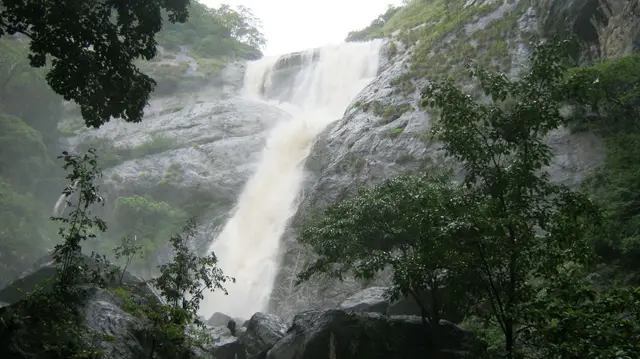
Forest waterfall visit near Aryankavu/Thenmala, listed by Kerala Tourism among ecotourism programmes.
Official source →Birding-focused forest landscape listed by Kerala Tourism as an ecotourism destination and programme.
Official source →Verified hotels, homestays, restaurants, experiences, sights, shops and rentals around Thenmala Dam — commission-free, with direct contact. Filter by what you need.

Thenmala’s adventure zone is part of the ecotourism complex. Compare activities, participant requirements and tickets; waterfall and sanctuary visits have separate arrangements.

Thenmala Ecoresort is an accommodation option at Ottakkal. Check the approach, room package and onward journeys to the ecotourism zones or Palaruvi before booking.

Kerala Tourism ecotourism page for Shendurney trekking and camping programmes. Shendurney, Trekking, Camping.
Shendurney Wildlife Sanctuary is a forest destination in the Thenmala landscape. Arrange a permitted programme through the forest service; a general activity ticket does not include sanctuary entry.
Thenmala Ecotourism provides bookings for its zones and activities. Choose a programme matching your group’s time and abilities, checking what each ticket includes.
Garden Restaurant is a meal-stop option in Thenmala’s ecotourism circuit. Ask about service during your visit, especially if spending the day across several zones.
Book with the place itself. India’s cyber-crime coordination centre warned in April 2025 that convincing copies of hotel and pilgrimage booking sites are being pushed through sponsored search and social ads, taking payment for rooms the property never hears about. Every listing here links to the business’s own contact details and its own Google or Bing profile — we take no commission and sit in nobody’s payment path. If a booking page reached you through an ad, check the address bar against the property’s own site before you pay. Fraud can be reported on cybercrime.gov.in or on 1930.
Find food, accommodation and activities across Thenmala. Browse the guides for places to eat, stay and explore along your route.
10 more places around Thenmala. Open a guide to plan the visit and onward journey.
13.9 km · ~23 min by cab
A community-linked forest and wetland visitor area near Madathara, used for guided birding and nature walks rather than an unrestricted independent forest excursion.
1.0 km · 13 min walk
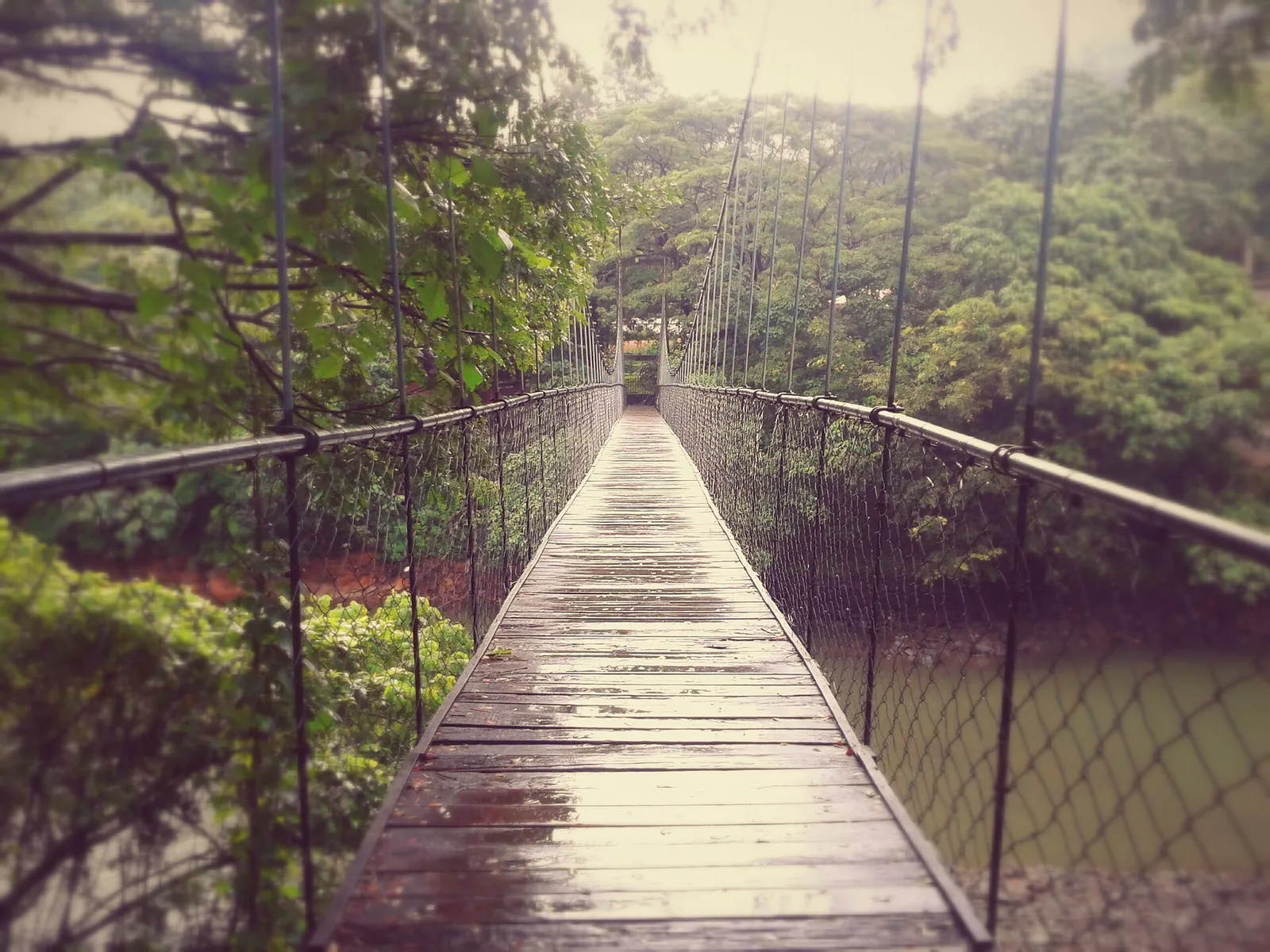
Eco-tourism area with forest walks, dam views and adventure activities.
1.2 km · 15 min walk
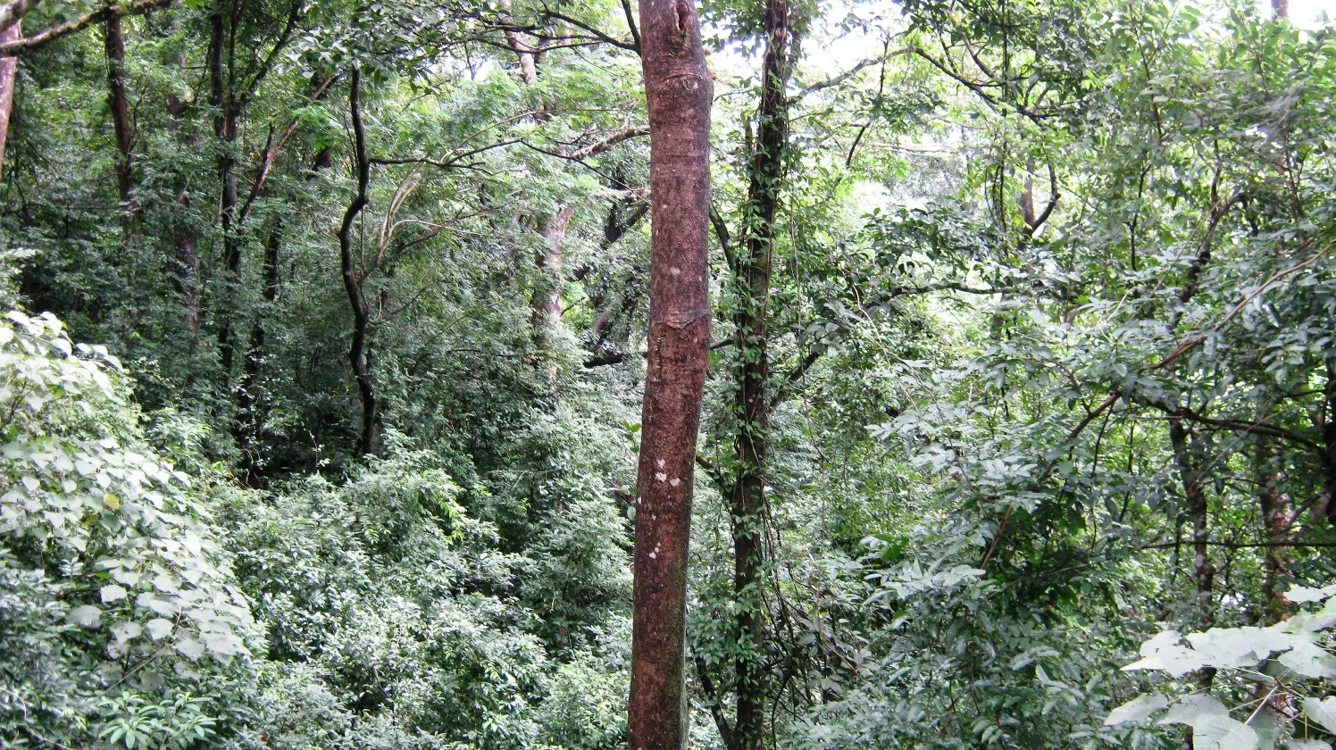
Twenty Forest Department programmes in the Shendurney Wildlife Sanctuary — walks of one to six hours, a dawn birding trail, boat and vehicle safaris and four camps — booked at the wildlife office at Thenmala. Rates are per group and include 18% GST.
1.4 km · 17 min walk
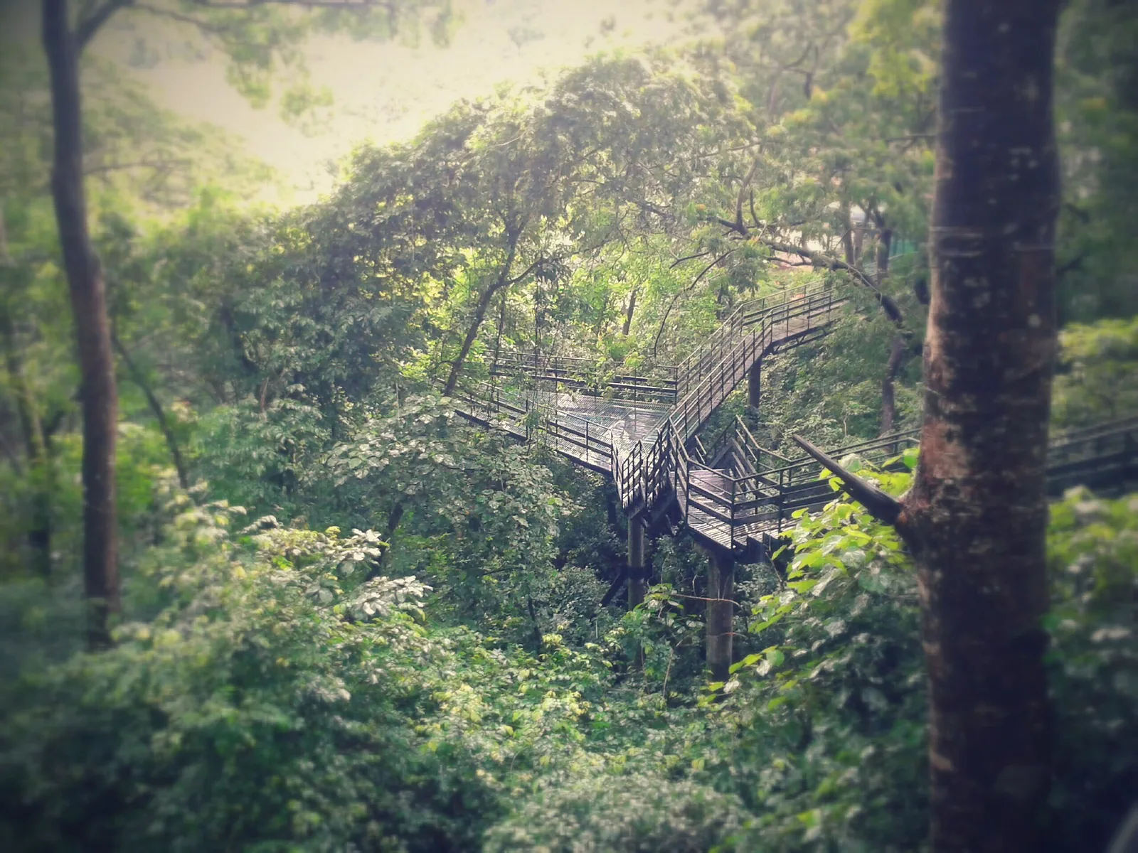
Guided trekking trails at Thenmala, billed as India’s first planned eco-tourism destination, through the Shendurney forests and dam catchment in Kollam.
25.6 km · 40 min drive
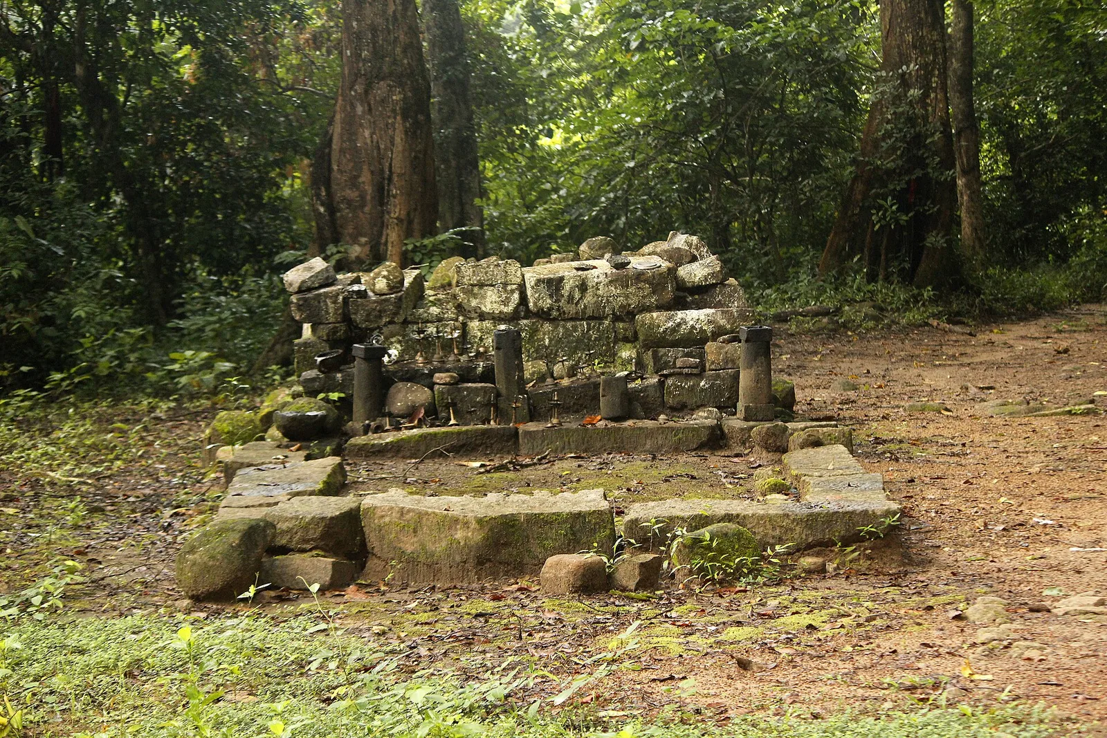
A valley settlement inside Shenduruney Wildlife Sanctuary, reached by 11–15 km of forest road from Aryankavu, with a ticketed Forest Department viewpoint, a departmental safari and guided walks beyond the village.
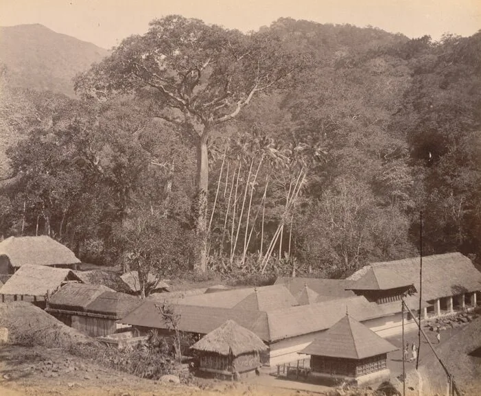
15.7 km · 20 min drive
The Sastha temple on the old Kollam–Sengottai road and rail route into Tamil Nadu, where Ayyappa is worshipped married to Pushkaladevi rather than celibate — with a forest village, a railway pass and the Palaruvi road around it.
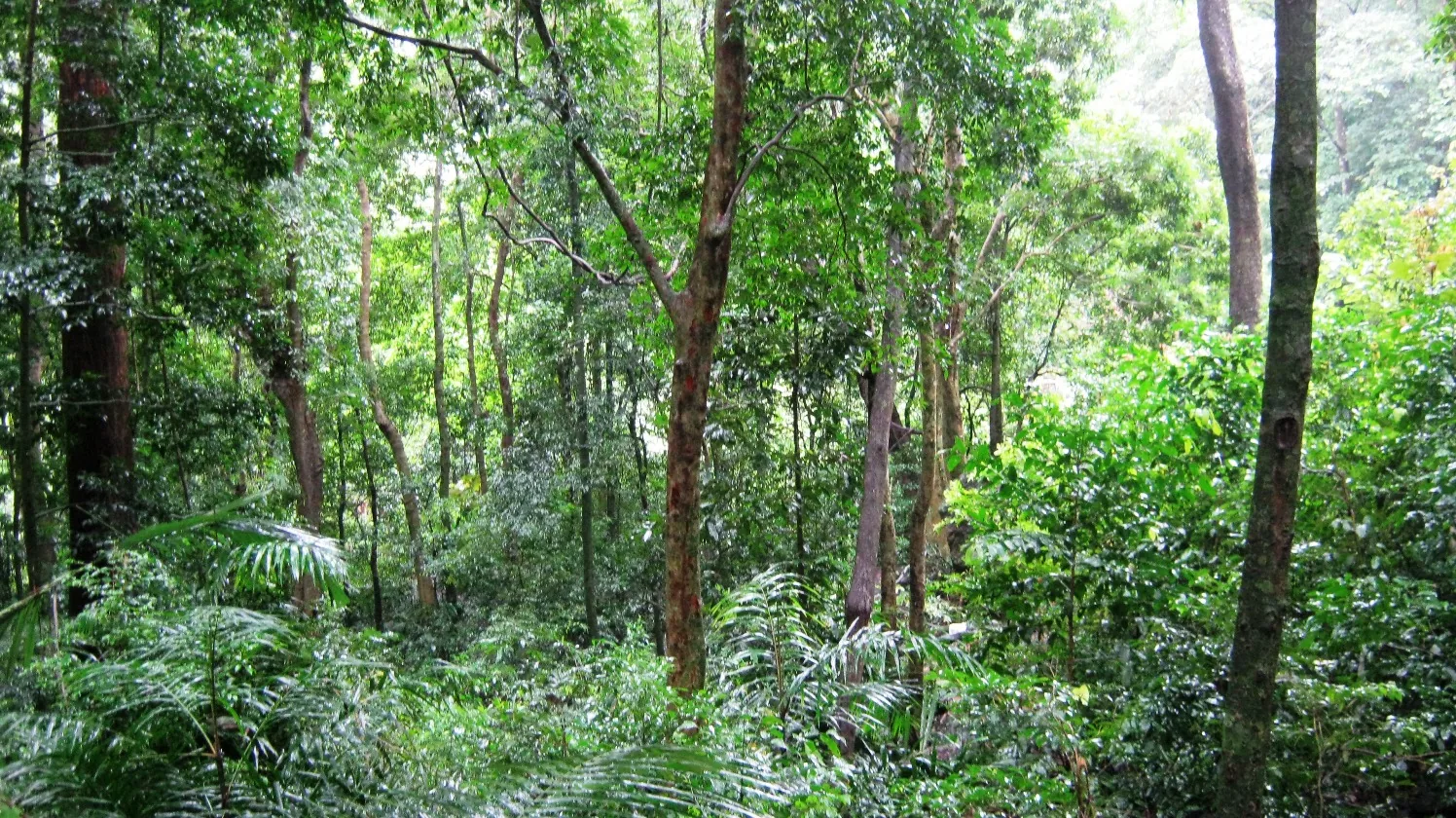
1.2 km · 15 min walk
A protected evergreen forest in the Agasthyamalai Biosphere Reserve east of Thenmala, named for the Chenkurinji tree and centred on the Parappar reservoir.
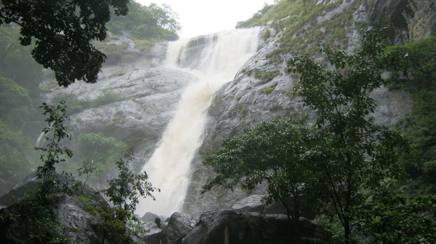
16.2 km · 21 min drive
Tall forest waterfall near the Aryankavu side of the Western Ghats, reached by forest shuttle from the highway.
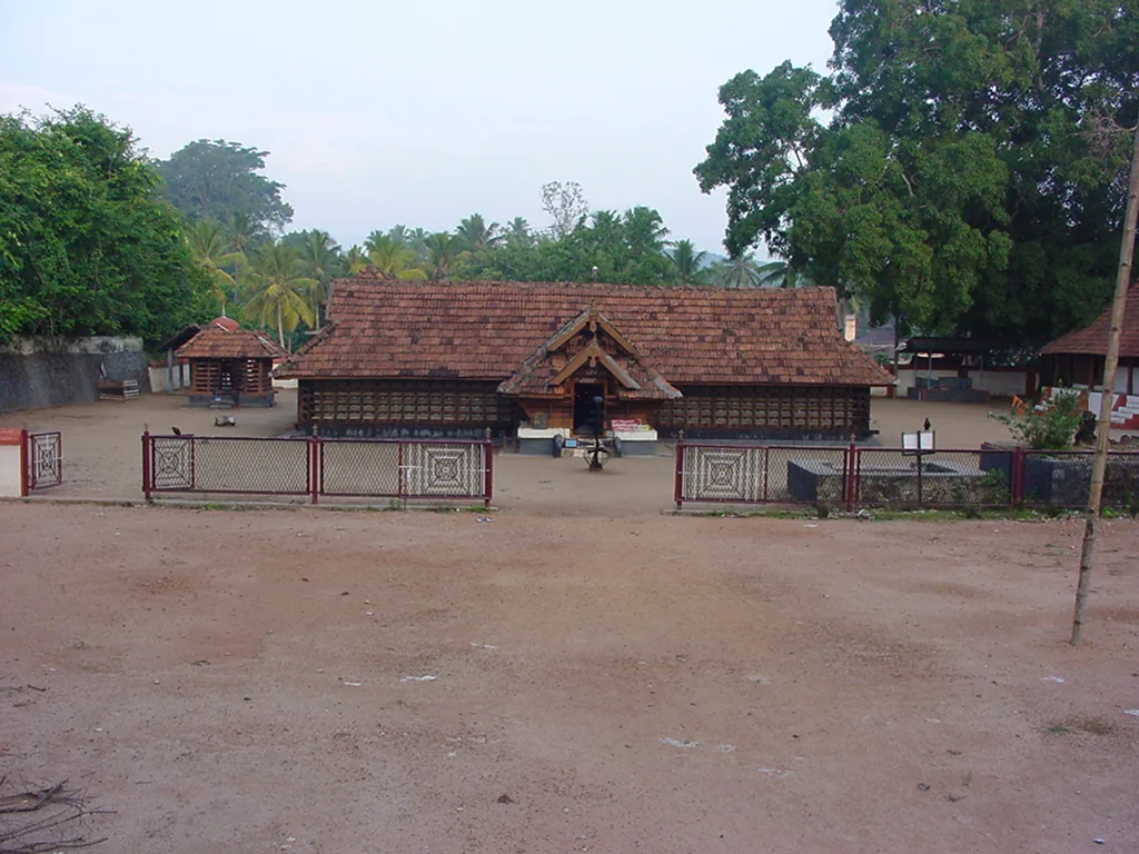
6.1 km · ~15 min by auto
The Sastha temple on the Kollam–Shencottai road where the god is Bala Sastha, the child, and the river alongside is full of protected fish the devotees call Thirumakkal — the sacred children of the lord. Feeding them puffed rice, meenoottu, is the temple’s characteristic offering and fishing is prohibited outright; one of the two species present, Hypselobarbus thomassi, is critically endangered and endemic to the Western Ghats. Named in every published version of the Pancha Sastha. Three 15th-century sculptures from here are in the Napier Museum, Thiruvananthapuram.
20.6 km · 24 min drive
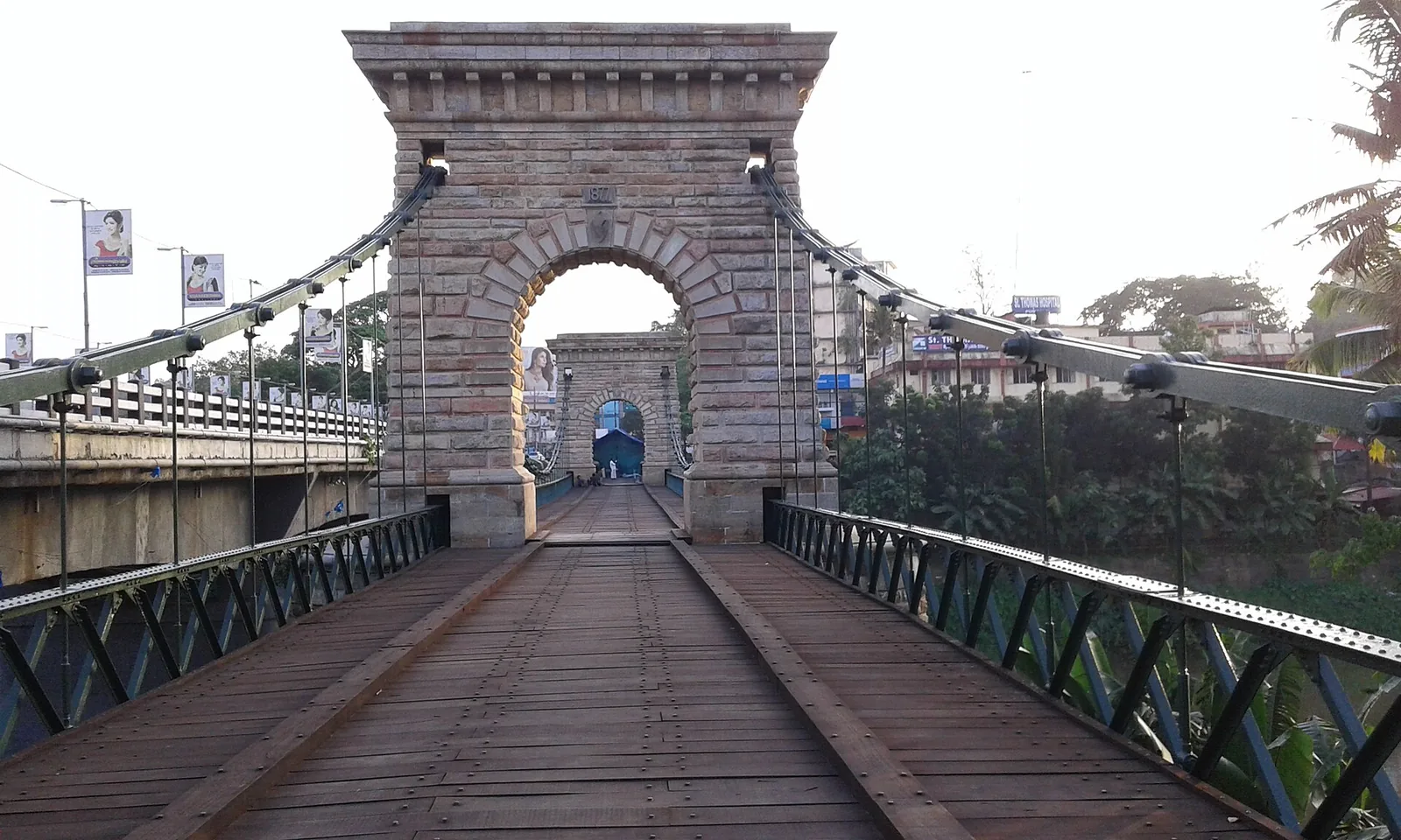
A rare 1877 Travancore-government suspension bridge over the Kallada river at Punalur, in east Kollam on the way to the ghats.
Roampedia is commission-free — own or know a stay, eatery, guide or shop near Thenmala Dam? List it and it appears here once verified.
Add a nearby businessEntry: The dam is a separate ticket from the ecotourism zones, sold by the Irrigation Department at the Kallada Irrigation Project gate — its own booth, its own visiting-time and vehicle-fee boards. ⚠ Neither the rate nor the hours are published online by the Irrigation Department, and the ecotourism site does not describe the dam at all; figures circulating on travel sites are unverified and we will not repeat them. Ask at the gate. The ecotourism attractions alongside are priced individually (Adventure Zone ₹70 adult / ₹55 child / ₹45 excursion / ₹100 international on the operator's own tariff, August 2026), and boating is a third arrangement again.
Parking: Parking is available at the ecotourism facilitation centre; the Irrigation Project gate has its own vehicle-fee board.
If you are travelling by bus or ferry, check the return service with the operator before setting out. Leave time to reach the stop or jetty after your visit.
Ask at the bus stand for the time of the last service back, not the next one. If you miss it, an auto or app cab is the fallback — agree the fare before you get in.
If you need step-free access, contact the site before travelling. Ask about a level entrance, steps along the route, the nearest drop-off point, seating and accessible toilets.
These services are listed within about 1.2 km of Thenmala Dam. Walking distances follow mapped routes; access and opening hours can change. Other services may be closer but are not included here.
Emergency numbers are verified against official government and state tourism sources. 112 works anywhere in India.
Eco-tourism area with forest walks, dam views and adventure activities.
1.0 km · 13 min walk · straight lineTwenty Forest Department programmes in the Shendurney Wildlife Sanctuary — walks of one to six hours, a dawn birding trail, boat and vehicle safaris and four camps — booked at the wildlife office at Thenmala. Rates are per group and include 18% GST.
1.2 km · 15 min walk · straight lineA protected evergreen forest in the Agasthyamalai Biosphere Reserve east of Thenmala, named for the Chenkurinji tree and centred on the Parappar reservoir.
1.2 km · 15 min walk · straight lineGuided trekking trails at Thenmala, billed as India’s first planned eco-tourism destination, through the Shendurney forests and dam catchment in Kollam.
1.4 km · 17 min walkThe Sastha temple on the Kollam–Shencottai road where the god is Bala Sastha, the child, and the river alongside is full of protected fish the devotees call Thirumakkal — the sacred children of the lord. Feeding them puffed rice, meenoottu, is the temple’s characteristic offering and fishing is prohibited outright; one of the two species present, Hypselobarbus thomassi, is critically endangered and endemic to the Western Ghats. Named in every published version of the Pancha Sastha. Three 15th-century sculptures from here are in the Napier Museum, Thiruvananthapuram.
6.1 km · ~15 min by auto · straight lineA community-linked forest and wetland visitor area near Madathara, used for guided birding and nature walks rather than an unrestricted independent forest excursion.
13.9 km · ~23 min by cab · straight lineThe Sastha temple on the old Kollam–Sengottai road and rail route into Tamil Nadu, where Ayyappa is worshipped married to Pushkaladevi rather than celibate — with a forest village, a railway pass and the Palaruvi road around it.
15.7 km · 20 min driveTall forest waterfall near the Aryankavu side of the Western Ghats, reached by forest shuttle from the highway.
16.2 km · 21 min drive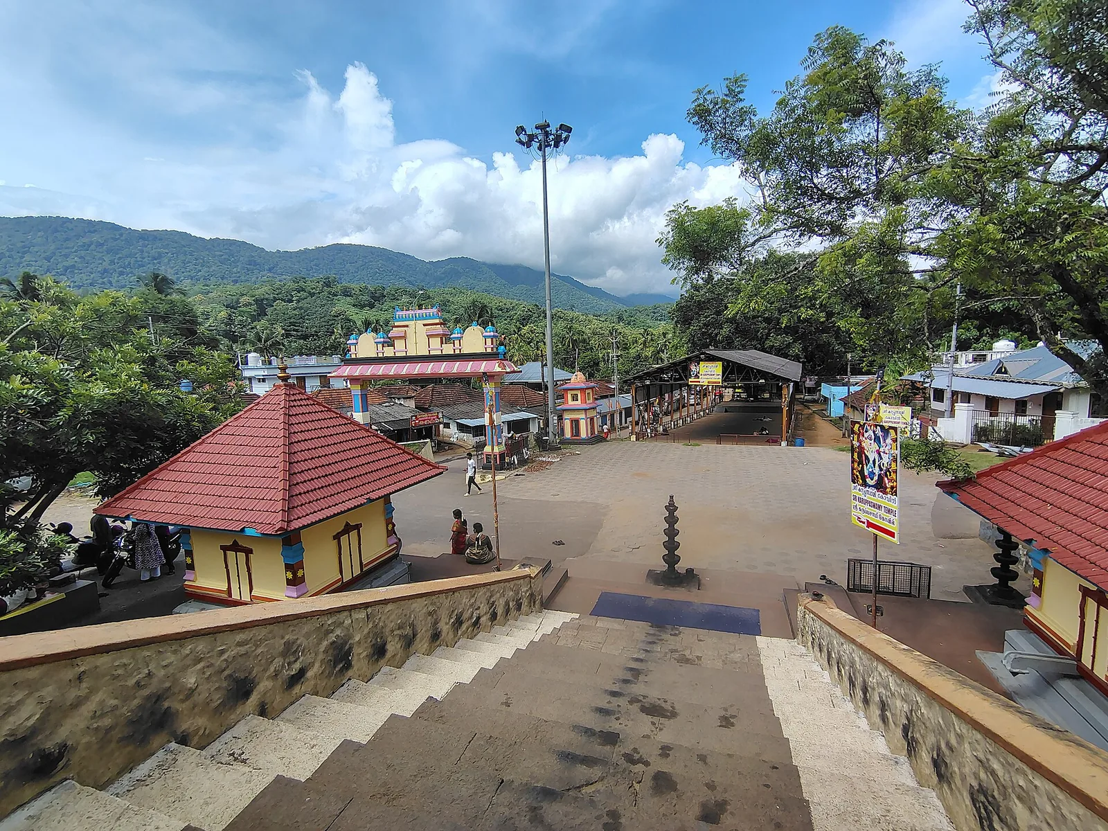
A forest Sastha temple on the Achankovil river where Ayyappa presides as a married householder with two consorts, Poorna and Pushkala — and where the deity is Maha Vaidya, the great physician: the bell may be rung at any hour for a snakebite and the shrine opens at night. ⚠ No timings are published by anyone. 🛑 It has no eighteen holy steps; that is Sabarimala’s.
16.3 km · ~27 min by cab · straight lineA rare 1877 Travancore-government suspension bridge over the Kallada river at Punalur, in east Kollam on the way to the ghats.
20.6 km · 24 min driveA valley settlement inside Shenduruney Wildlife Sanctuary, reached by 11–15 km of forest road from Aryankavu, with a ticketed Forest Department viewpoint, a departmental safari and guided walks beyond the village.
25.6 km · 40 min drive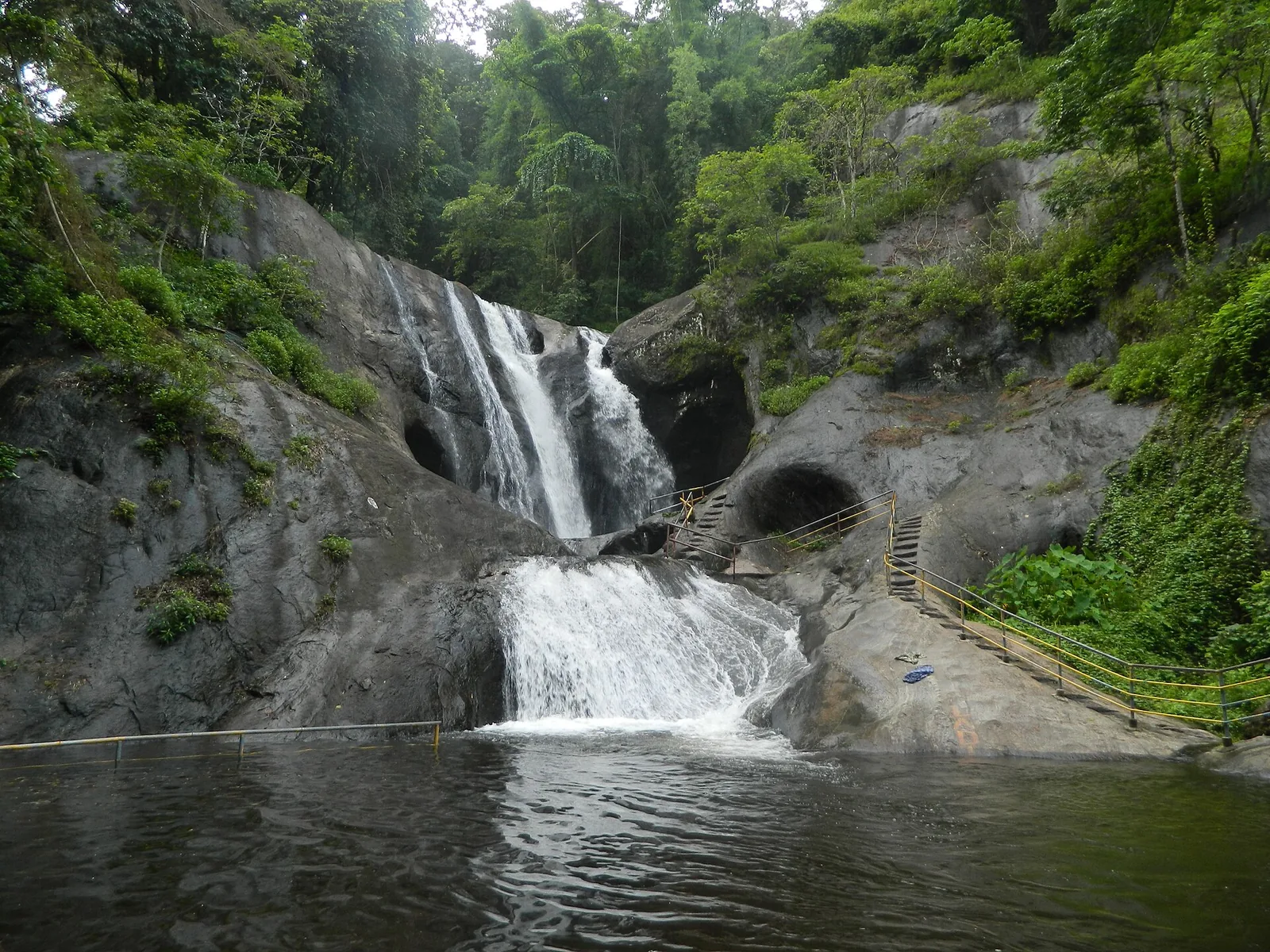
A two-tier waterfall on the Achankovil river, with steps cut into the rock beside the cascade, run by a village forest-protection committee under the Achenkovil Forest Division. Published heights range from 70 ft to 250 ft and none is a measurement.
54.3 km · 77 min driveWalking and driving times are real routed distances, except the few marked “straight line”, which are direct-line estimates and will read short. Fare figures are estimates from Kerala’s notified auto/taxi tariff and exclude waiting and night charges. Routing: © openrouteservice.org by HeiGIT | Map data © OpenStreetMap contributors
Nearby toilets, pharmacies, ATMs, seating and vets are community-mapped and may be incomplete or out of date. Map data © OpenStreetMap contributors | Walking times © openrouteservice.org by HeiGIT
No. The dam came first, as the storage element of the Kallada Irrigation Project. The eco-tourism zones were laid out around its reservoir afterwards. They are ticketed separately from boating on the water, so ask specifically what a given ticket covers.
Officially, Kallada — and we previously told you it was Parappar, which was half wrong. The 1984 Kerala notification creating Shendurney sanctuary calls it Kallada Dam and its water Kallada Reservoir; the Central Water Commission registers it as Kallada (Parappar), code KL07HH0037; the World Bank called it the Kallada dam; KSEB calls the water the Kallada Reservoir. Parappar is the site and Thenmala is the town, and 'Thenmala Dam' is what everybody actually says. The name the government files it under is the one nobody uses.
Yes — 15 MW, from two 7.5 MW vertical Kaplan turbines in a KSEB station built at the dam's toe, first generating in 1993/94. It is commonly described as a storage and irrigation dam alone, with no mention of power at all. KSEB describes it as the first station in Kerala to generate from water being released for irrigation anyway: the water passes the turbines, returns to the Kallada, and is then diverted to the canals by a weir. Firm annual capability is 65 million units.
A straight gravity masonry dam, 335 m long and 85.35 m high above its deepest foundation, in twelve blocks, with three gated ogee spillways of 12.19 m by 9.14 m. The Irrigation Department, the Central Water Commission and the World Bank agree on those figures. Note that the CWC's own register nevertheless classifies it as an earthfill embankment and places it in Pathanamthitta district — both errors.
A net cultivable command area of 53,514 hectares across 92 villages in nine taluks of Kollam, Pathanamthitta and Alappuzha districts, through main canals of 56 km on the left bank and 70 km on the right plus branch canals. It was designed for 61,630 hectares; canals including the Kayamkulam branch were dropped during construction.
Because the catchment upstream is Shendurney Wildlife Sanctuary, inside the Agasthyamalai Biosphere Reserve. The undeveloped far shore is a legal protection rather than an accident, which is why the view is likely to stay as it is.
The 2023 NCESS study in Scientific Reports names it as one of two key factors, along with uncontrolled sand mining. The river's floods used to deposit sediment that rebuilt the low islets at its mouth each year; the reservoir cut that supply, and land has been going ever since — about 14% of Munroe Thuruthu, with more than 500 households forced to vacate their homes.
That is not our claim and not what the evidence establishes. The project irrigates a large agricultural area and supplies water, which are real public benefits. The point is that the downstream costs are equally real, and an honest description of this reservoir includes both.
No. This is a working irrigation reservoir with no swimming provision. Boating is organised from the Thenmala side and is the way to get onto the water.
Early morning, while mist still sits on the water against the forest. By late morning the light is hard and the reservoir looks ordinary. November to February is the most comfortable season.
A masonry gravity dam — it holds the river back by the sheer weight of the wall rather than by transferring the load into the valley sides the way an arch dam does. There is no elegance in it and none was intended; the job was storage and irrigation.
An hour or so for the dam and the reservoir viewpoints on their own. Half a day if you are combining it with the eco-tourism zones laid out around the water, which most people do.
Not at the dam. It runs on the same reservoir at Pallamvetty, beside the project's earthfill saddle dam, about 2.5 km from the main wall, with a battery shuttle to the boarding point — and there is a kottavanchi coracle service there too, reportedly the first in Kollam district. Anyone who books 'boating at Thenmala Dam' ends up on the right water and nowhere near the structure in the photographs.
On the operator's own tariff it is priced separately — the line reads 'boating plus sanctuary entrance fee', which is boating inside Shendurney. Combined packages that fold boating into a day ticket are advertised online, but on a look-alike domain rather than the operator's own site, so confirm at the counter before paying for one. Dam access, the ecotourism zones, boating and sanctuary entry are four separate arrangements under two departments.
Yes — there is a roadway along the crest, and it is ticketed at the Kallada Irrigation Project gate, separately from the ecotourism zone tickets. The Irrigation Department publishes neither the rate nor the hours online and the ecotourism site does not describe the dam at all, so ask at the gate. Figures circulating on travel sites are unverified and we will not repeat them.
Effectively yes. The sanctuary's 1984 notification draws its southern boundary along the southern boundary of the Kallada reservoir up to the dam site, and its western boundary between the dam and the Thenmala forest office. The sanctuary covers 10,032 hectares, and the reservoir accounts for somewhere between a seventh and a quarter of it depending on which official water-spread figure you use.
Officially the Kallada Reservoir, in the sanctuary notification, the CWC register and KSEB's records alike. Most signage and most visitors call it the Thenmala reservoir, after the place.
Post-monsoon and winter for scenery; monsoon access may change.
Entry: The dam is a separate ticket from the ecotourism zones, sold by the Irrigation Department at the Kallada Irrigation Project gate — its own booth, its own visiting-time and vehicle-fee boards. ⚠ Neither the rate nor the hours are published online by the Irrigation Department, and the ecotourism site does not describe the dam at all; figures circulating on travel sites are unverified and we will not repeat them. Ask at the gate. The ecotourism attractions alongside are priced individually (Adventure Zone ₹70 adult / ₹55 child / ₹45 excursion / ₹100 international on the operator's own tariff, August 2026), and boating is a third arrangement again. Timings: The ecotourism park is open all days, roughly 9am to 8pm, with the ticket counter to 7.30pm. Dam-gate hours are set by the Irrigation Department and are not published online.
Base yourself in Thenmala or a nearby town in Kollam, then confirm the last-mile route locally before leaving. Check public access status before travel; dam areas often have security rules and seasonal entry limits. If the visit depends on forest, temple, boat, ferry, weather or seasonal access, check the official/local rule on the day before travel.
1 to 2 hours.
Nearby you can pair Thenmala (1.0 km), Shendurney trek (1.2 km), Shendurney Wildlife Sanctuary (1.2 km), Thenmala trekking (1.4 km).
Do not cross barriers or restricted zones. Follow release-warning and security instructions.
Written about Thenmala Dam itself — its history, its legends and the arguments about them.


These guides explore Thenmala and the surrounding area. Choose a visit that fits your interests, allowing separately for travel between stops.


Route-level itineraries and practical guides for the rest of Kerala.
Photographs: Vis M (CC BY-SA 4.0), Akhilan (CC BY-SA 2.5 IN), Midhunxxx51 (CC BY-SA 4.0), Shajinss (CC BY-SA 4.0), Junaidpv at Malayalam Wikipedia (Public domain), Akhilsunnithan at Malayalam Wikipedia (Public domain), Haravinth rajan (CC BY-SA 4.0), Jaseem Hamza (CC BY 3.0). Wikimedia Commons.