What to expect
Highlights
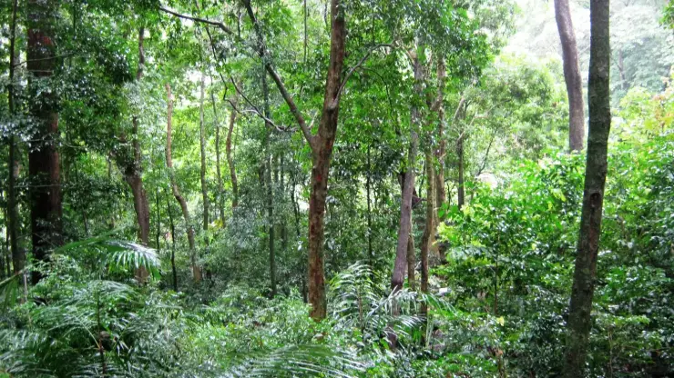
- Wildlife or forest landscape around Shendurney Wildlife Sanctuary
- Official eco-tourism activities where available
- Nature guides, birding and forest-edge stays
A protected evergreen forest in the Agasthyamalai Biosphere Reserve east of Thenmala, named for the Chenkurinji tree and centred on the Parappar reservoir.
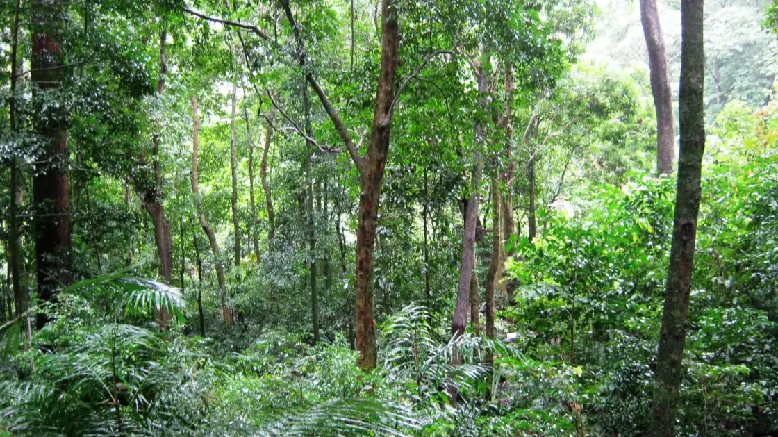
The only wildlife sanctuary in Kollam district: tropical evergreen woodland wrapped around an irrigation reservoir, with three private estates and about 1,300 people inside its boundary — and a founding notification that contradicts itself about how big it is.
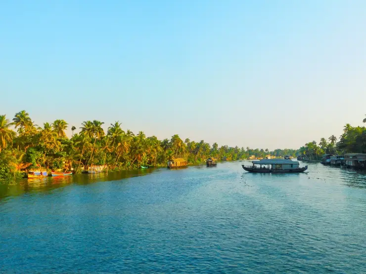
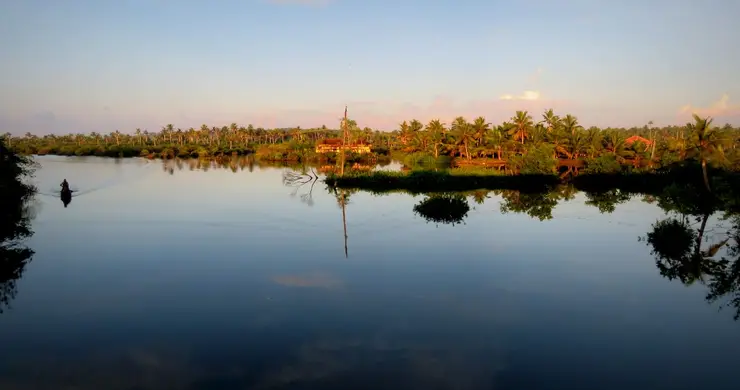
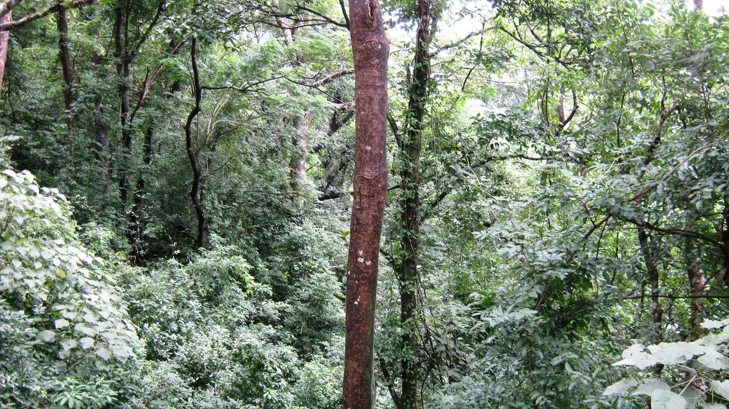
Shendurney is the wild half of Thenmala, and the half almost nobody actually enters. It lies east of the town, an unbroken mosaic of tropical evergreen and semi-evergreen cover, and at its centre is the Parappar reservoir — about 18.7 square kilometres of the sanctuary under water, roughly a ninth of it. Drifting across that water by boat, a green wall rising on both sides, is what most visitors carry away.
The sanctuary's own origin explains its shape. The Forest Department's management plan states it plainly: the boundary roughly coincides with the watershed boundary of the Kallada reservoir, an important source of irrigation water for Kollam and Pathanamthitta. Shendurney is, in origin, a catchment given legal protection — which is why the far shore of the reservoir has no buildings on it and never will.
It takes its name from the chenkurinji tree, Gluta travancorica, whose Malayalam name was anglicised. One correction while we are here, because tourism copy runs hard the other way: chenkurinji does not grow only in Shendurney. It is endemic to the Agasthyamala landscape south of the Aryankavu Gap, and occurs in Peppara and Neyyar and over the border in Kalakad-Mundanthurai. The Forest Department's own plan calls it a tree confined to this tract, and that is an overstatement in a primary document. IUCN lists it as Near Threatened.
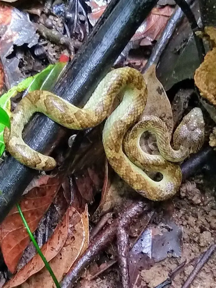
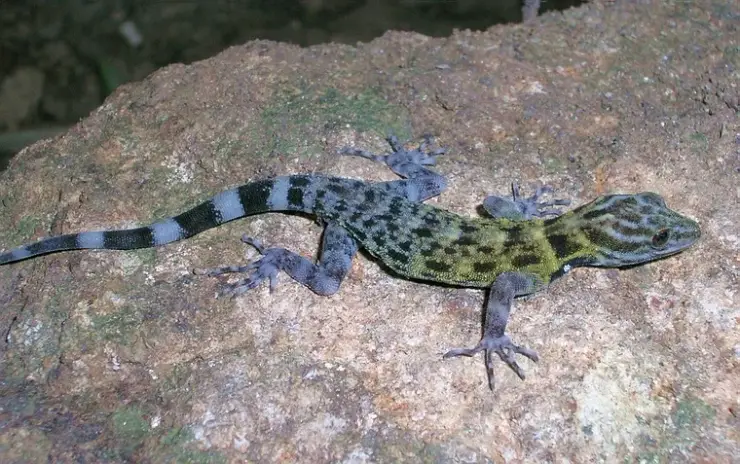
The biodiversity is real and the numbers are better than the round ones usually printed. The management plan records 1,256 species of flowering plants, of which around 309 — about a quarter, not the 'large share' usually claimed — are Western Ghats endemics. It records 268 birds, 35 mammals, 36 reptiles, 29 amphibians, 42 fishes and 257 butterflies including 25 Western Ghats endemics, which it calls one of the richest butterfly areas in the whole of the Ghats. Elephant and tiger are both listed by the plan as globally threatened species present here — our old line that tiger only rarely passes through the deeper reaches was an unsourced hedge in the opposite direction from the primary document.
We also owe a correction on a bird. A distinctive nightjar is said to have been first documented in these hills, which reads as a species first described from here. It is not true. What actually happened is more specific and more checkable: a brood of the Great Eared Nightjar was found during the sanctuary's annual bird survey — the first record of the bird in Kollam district, the previous southern record being from the Siruvani foothills in Tamil Nadu in May 1995. The subspecies is bourdilloni, named for T. F. Bourdillon of the Travancore forest service, whose name is also on two of the sanctuary's signature endemic trees.
And a correction we should have made long ago. Older material on this page said the Kani people have long lived in and around these hills and that their knowledge is woven into the sanctuary's story. The Forest Department's management plan enumerates every human settlement inside the boundary, and they are all private estates — Rosemala, Kallar and part of Rockwood. No Kani or Kanikkar settlement is recorded anywhere inside Shendurney. The Kani are genuinely associated with the Peppara, Neyyar and Agasthyakoodam country in Thiruvananthapuram district; we had borrowed a community from a neighbouring landscape, which is a thing tourism writing does constantly and should not.
What is inside is 877 hectares of private estate. Rosemala alone has 225 families and about 1,266 people on 262 hectares; Kallar has twice the land and 22 families; Rockwood, two. The department writes, in its own published plan, that the presence of the estates is hindering effective management and that efforts should be directed towards their effective rehabilitation. That plan ran to 2021–22. Nobody has been moved.
Deeper in, the sanctuary is still being described. Two jumping spiders new to science, both in the genus Epidelaxia, were published from Shendurney in February 2025 — the first record of that genus in India, previously thought endemic to Sri Lanka. And there are 20 hectares of Myristica swamp here, in six mapped fragments totalling about a tenth of one per cent of the sanctuary: relict freshwater swamp woodland, among the rarest habitats in the Western Ghats.
For all that, Shendurney stays under-visited, and it is genuinely hard to get into — which is the point of it. A boat at dawn, a walk under very tall trees, and the knowledge that what you are looking at is a water supply that grew a sanctuary around itself.
The document that legally created Shendurney describes a boundary and then, on the same page, states an extent that the boundary cannot possibly enclose. Forty-two years later nobody has corrected it.
The notification is G.O.(P) No. 258/84/AD, S.R.O. No. 1166/84, dated 25 August 1984, signed by the Agricultural Production Commissioner by order of the Governor. Its schedule gives the extent of the area as 10,032 hectares — that is 100.32 square kilometres. Its boundary description runs from Thenmala east along a ridge to Periyamaruthimalai, down the state boundary to Karimala, back along the division's southern edge to the Kallada reservoir and along the reservoir's southern shore to the dam site, then between the dam and the Thenmala forest office.
We measured what that describes. The sanctuary boundary as mapped in OpenStreetMap is a single closed ring of 948 nodes, and it encloses about 173.7 square kilometres. So the boundary is a 172-ish sanctuary and the extent figure on the same page is a 100-ish one, and the gap is about 71 square kilometres — seventy per cent of the sanctuary as declared, an area larger than Kollam city.
Everything downstream inherited the larger number, which is the one that matches the ground. The Forest Department's own management plan says 171 sq km. Its website says 171. Kerala Tourism, the same government, says approximately 172. Wikipedia says 172.403. Wikidata says 17,100 hectares. Three arms of one state government publish three different figures, and the one signed by order of the Governor is the outlier.
The management plan is internally consistent about 171, which is the strongest evidence for it. Its zonation adds up: core 75.5 sq km at nearly 44 per cent, buffer 47.13 at 27.6 per cent, tourism zone 48.35 at 28.2 per cent — a total of 170.98, and 99.8 per cent. Its two sections are sized 90 and 81 sq km, which is 171 again. The department manages, zones, patrols and staffs a 171 sq km sanctuary. The 100.32 figure survives in exactly one place: the legal instrument that created it.
This is the same shape as the Ramsar sheet error on Ashtamudi at the other end of this district — a summary figure contradicted by the body of the same document, then copied downstream by everyone who read only the summary. The extent is often called disputed, with different figures said to describe a core and a wider unit. That guess was wrong, and we can now say what actually happened.
The same plan has a second error worth checking yourself. It states that the sanctuary lies between 8°44′ and 9°14′ north and 76°59′ and 77°16′ east. The mapped boundary runs 8°48.5′–8°58.1′ N and 77°03.8′–77°15.8′ E. The eastern longitude is right; the western is about 9 km out, the southern about 8 km out, and the northern limit is stated nearly 16 arc-minutes — some 29 km — too far north, up past Punalur and well outside any ground the sanctuary contains. The box as printed is about 55 by 31 kilometres, roughly 1,730 sq km: ten times the area the same page claims two paragraphs later, and impossible beside its own statement that the sanctuary is about 25 km long east to west.
Two smaller bones from the same skeleton. Wikipedia and Wikidata both give shendurney.com as the sanctuary's official website; the domain is parked and now redirects to a domain broker, so anyone following the citation lands on a for-sale page. And the species counts drift as they are recopied: the plan says 1,256 plants and 268 birds, Wikipedia says 1,257 and 267, and the plan itself gives butterflies as both 257 and 263 in different places. Nobody is recounting. They are retyping.
The other confusion is the consequential one for your day, and we keep it: Shendurney and Thenmala eco-tourism are not the same thing. The eco-tourism zones are a ticketed attraction with made trails and handrails. The sanctuary is entered under Forest Department permission arranged in person at the section office. You cannot buy your way into the second at the counter for the first.
And Rosemala is both a viewpoint and a village, which is where the confusion comes from. It is a valley settlement of 225 families reached by a rough forest road through elephant country — and there is also a ticketed Forest Department lookout at the top, ₹83 a head, with parking and a counter. What needs permission and a guide is the walking beyond the settlement, not the drive.
Shendurney was declared a wildlife sanctuary on 25 August 1984 by G.O.(P) No. 258/84/AD, S.R.O. No. 1166/84, under section 18(1) of the Wildlife (Protection) Act 1972, over the Kulathupuzha Reserve in what the notification calls Quilon district, Pathanapuram taluk. It followed circle-level committees constituted that January to identify areas suitable for sanctuaries; the Quilon committee proposed it and the State Wildlife Advisory Board recommended it. It is the only wildlife sanctuary in Kollam district.
The notification states the extent as 10,032 hectares — 100.32 sq km — while describing a boundary that encloses about 172. See the myth section below; the contradiction has never been amended.
The dam came second. The Parappar dam was commissioned on 26 May 1986, two years after the sanctuary was declared around it — and the 1984 boundary already refers to the Kallada Reservoir and to the dam site, because impounding had begun.
Administration has moved twice. Control passed from the Thiruvananthapuram Wildlife Division to Thenmala Forest Division in May 1991, and in March 1996 a Shendurney Wildlife Division was created, initially comprising Shendurney and Peppara, with the Assistant Wildlife Warden upgraded to Wildlife Warden. Peppara was carved out in 1998, leaving Shendurney alone in its division. ⚠ That 1996 order created an administrative division; it did not enlarge the sanctuary, so it cannot explain the area discrepancy.
Three management plans have run since: 1990–91 to 1999–2000, 2002–03 to 2011–12, and 2012–13 to 2021–22. The department's own retrospective on the first is unusually frank — its objectives were inadequate, no importance was given to collection of data, and it had a lot of drawbacks.
No timber harvesting has been allowed since the declaration, and there are no exotic plantations inside the sanctuary except a marginal eucalyptus block outside it.
Shendurney is part of the Agasthyamala Biosphere Reserve — 3,500.36 sq km across Kerala (1,828) and Tamil Nadu (1,672.36), established by India in 2001 and admitted to UNESCO's World Network of Biosphere Reserves in 2016. The Thenmala Ecotourism Promotion Society, registered in July 1998 and working across the Forest, Irrigation and Tourism departments, makes use of the land and water area of the sanctuary — the plan's own phrasing.
Boating on the Parappar reservoir, about 18.7 sq km of water inside the sanctuary, with forest falling straight into it on every side.
Genuinely exceptional biodiversity, and countable: 1,256 flowering plants with around 309 Western Ghats endemics, 268 birds, and 257 butterflies including 25 endemics — which the department calls one of the richest butterfly areas in the Ghats.
The rarest habitat here is 20 hectares of Myristica swamp in six mapped fragments — relict freshwater swamp forest, about a tenth of one per cent of the sanctuary.
A protected area that is still being described: two jumping spiders new to science were published from here in February 2025, the first record of their genus in India.
The only wildlife sanctuary in Kollam district, and the reason the far shore of the Thenmala reservoir has no buildings on it.
It is hard to get into and lightly visited, which is the whole point — permission in person, small numbers, and a forest that is a working water catchment rather than a show.
Road km to Kollam; ghat roads and traffic vary — allow extra.
Dryer months are easier for wildlife access; monsoon access depends on local rules.
Live forecast loads in your browser.
Check the official alert before you travel. Kerala’s beaches, waterfalls and trekking routes close at short notice during heavy rain, and district alert levels change day to day. We do not publish an alert level of our own — read it from the state authority: Kerala State Disaster Management Authority, or the district control room on 1077.
Sun and moon are calculated for this location and shown in IST. Photography windows are the hour around sunrise and sunset; the sunset bearing is degrees clockwise from true north. Moon phase is accurate to about half a day.
These are official or public-sector eco offerings that match this place, town or forest destination. Confirm availability, permits, tariffs and reporting times with the official operator before travel.

Billed as India’s first planned ecotourism destination — the operator’s own phrase, not an award — with adventure activities, nature trails, an elevated walkway and riverine paths.
Official source →Swiss-cottage style tented camping near the Thenmala forest setting, listed by Kerala Tourism’s ecotourism programme page.
Official source →Tented stay along the Kallada River near Parappar Dam, positioned as a forest-edge camping option.
Official source →Simple official tourist-home accommodation at Thenmala for travellers using the ecotourism zones.
Official source →Dormitory accommodation at Thenmala, useful for budget groups and activity-focused travellers.
Official source →
Guided trekking and boating access into the Shendurney forest landscape from the Thenmala Deep Woods zone.
Official source →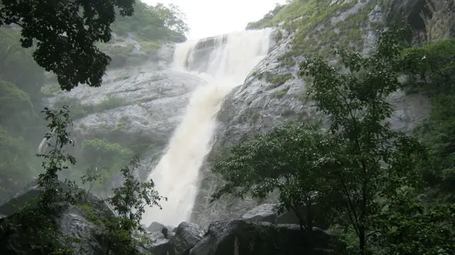
Forest waterfall visit near Aryankavu/Thenmala, listed by Kerala Tourism among ecotourism programmes.
Official source →Birding-focused forest landscape listed by Kerala Tourism as an ecotourism destination and programme.
Official source →Verified hotels, homestays, restaurants, experiences, sights, shops and rentals around Shendurney Wildlife Sanctuary — commission-free, with direct contact. Filter by what you need.

Thenmala’s adventure zone is part of the ecotourism complex. Compare activities, participant requirements and tickets; waterfall and sanctuary visits have separate arrangements.

Thenmala Ecoresort is an accommodation option at Ottakkal. Check the approach, room package and onward journeys to the ecotourism zones or Palaruvi before booking.

Kerala Tourism ecotourism page for Shendurney trekking and camping programmes. Shendurney, Trekking, Camping.
Shendurney Wildlife Sanctuary is a forest destination in the Thenmala landscape. Arrange a permitted programme through the forest service; a general activity ticket does not include sanctuary entry.
Thenmala Ecotourism provides bookings for its zones and activities. Choose a programme matching your group’s time and abilities, checking what each ticket includes.
Garden Restaurant is a meal-stop option in Thenmala’s ecotourism circuit. Ask about service during your visit, especially if spending the day across several zones.
Book with the place itself. India’s cyber-crime coordination centre warned in April 2025 that convincing copies of hotel and pilgrimage booking sites are being pushed through sponsored search and social ads, taking payment for rooms the property never hears about. Every listing here links to the business’s own contact details and its own Google or Bing profile — we take no commission and sit in nobody’s payment path. If a booking page reached you through an ad, check the address bar against the property’s own site before you pay. Fraud can be reported on cybercrime.gov.in or on 1930.
Find food, accommodation and activities across Thenmala. Browse the guides for places to eat, stay and explore along your route.
10 more places around Thenmala. Open a guide to plan the visit and onward journey.
14.3 km · ~24 min by cab
A community-linked forest and wetland visitor area near Madathara, used for guided birding and nature walks rather than an unrestricted independent forest excursion.
190 m · 2 min walk
Eco-tourism area with forest walks, dam views and adventure activities.
Twenty Forest Department programmes in the Shendurney Wildlife Sanctuary — walks of one to six hours, a dawn birding trail, boat and vehicle safaris and four camps — booked at the wildlife office at Thenmala. Rates are per group and include 18% GST.
820 m · 10 min walk
Guided trekking trails at Thenmala, billed as India’s first planned eco-tourism destination, through the Shendurney forests and dam catchment in Kollam.
13.4 km · ~22 min by cab
A valley settlement inside Shenduruney Wildlife Sanctuary, reached by 11–15 km of forest road from Aryankavu, with a ticketed Forest Department viewpoint, a departmental safari and guided walks beyond the village.
1.2 km · 15 min walk
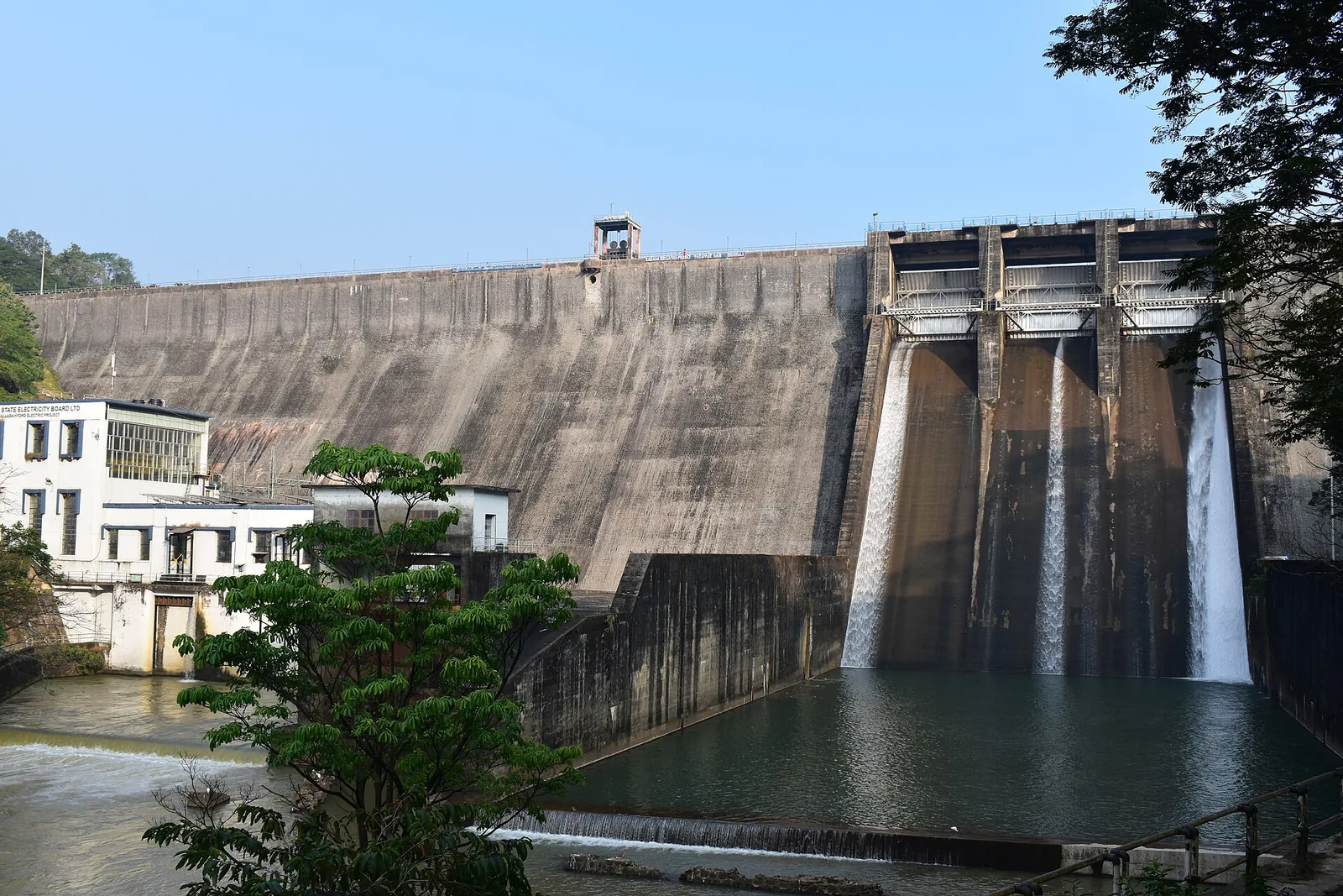
The Parappar dam across the Kallada river at Thenmala, built for irrigation — the reservoir behind it is the water the eco-tourism area is built around, and the catchment upstream is Shendurney sanctuary.
10.1 km · ~17 min by cab
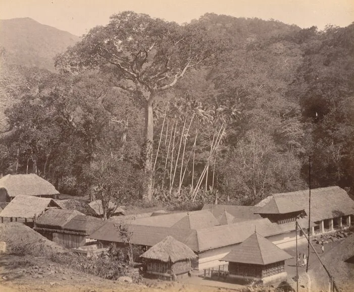
The Sastha temple on the old Kollam–Sengottai road and rail route into Tamil Nadu, where Ayyappa is worshipped married to Pushkaladevi rather than celibate — with a forest village, a railway pass and the Palaruvi road around it.
11.7 km · ~19 min by cab
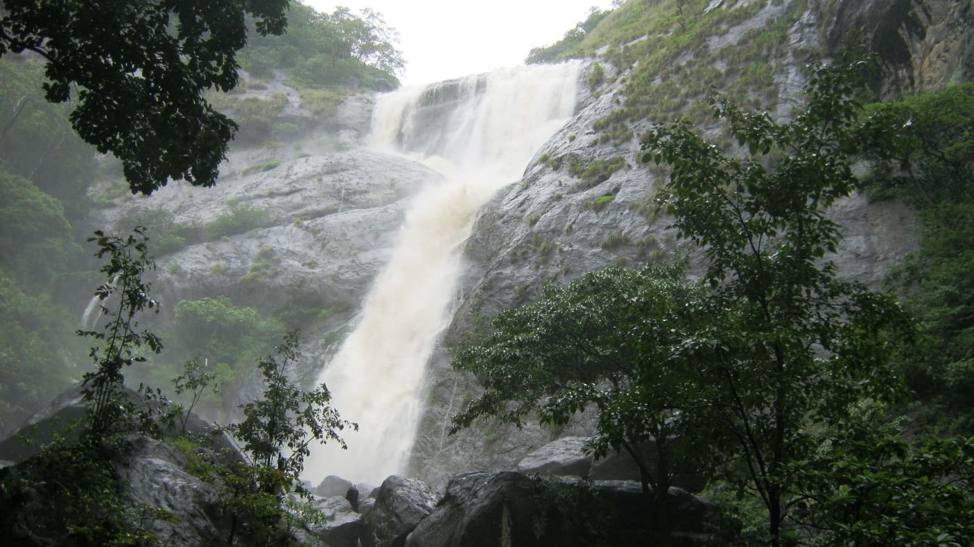
Tall forest waterfall near the Aryankavu side of the Western Ghats, reached by forest shuttle from the highway.
6.7 km · ~17 min by auto
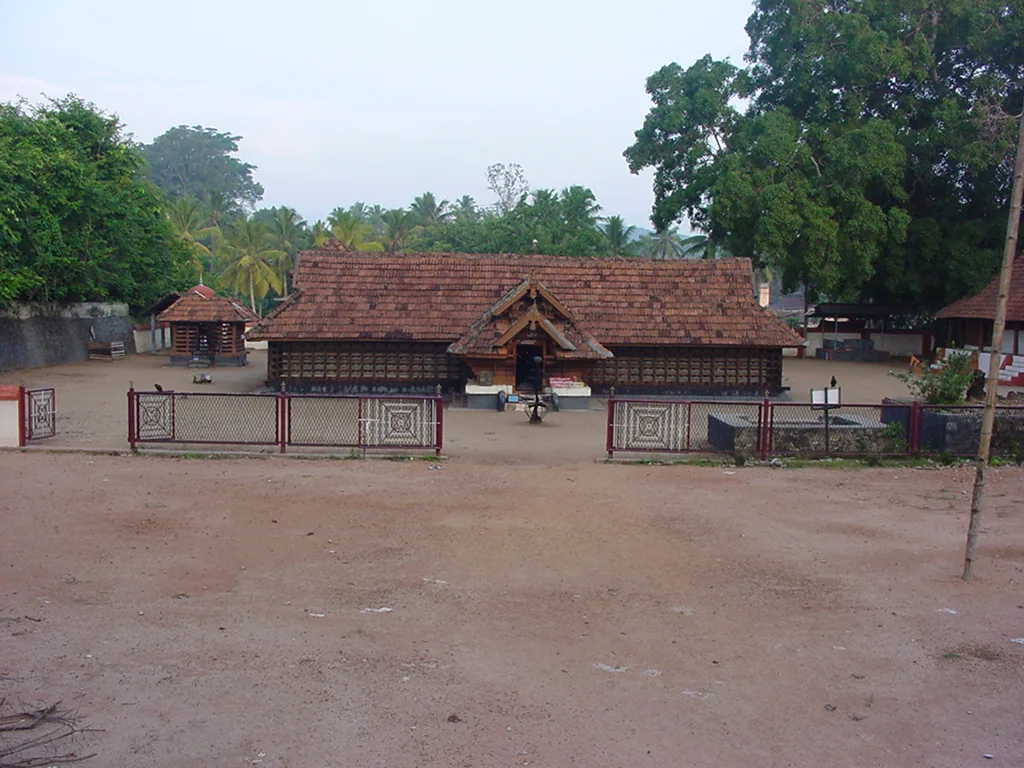
The Sastha temple on the Kollam–Shencottai road where the god is Bala Sastha, the child, and the river alongside is full of protected fish the devotees call Thirumakkal — the sacred children of the lord. Feeding them puffed rice, meenoottu, is the temple’s characteristic offering and fishing is prohibited outright; one of the two species present, Hypselobarbus thomassi, is critically endangered and endemic to the Western Ghats. Named in every published version of the Pancha Sastha. Three 15th-century sculptures from here are in the Napier Museum, Thiruvananthapuram.
15.9 km · ~27 min by cab
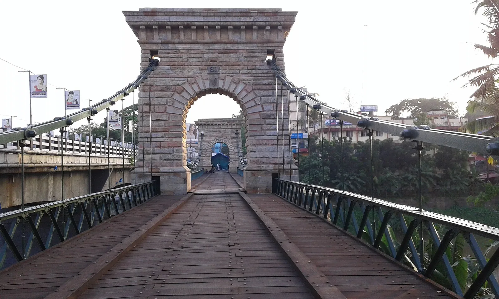
A rare 1877 Travancore-government suspension bridge over the Kallada river at Punalur, in east Kollam on the way to the ghats.
Roampedia is commission-free — own or know a stay, eatery, guide or shop near Shendurney Wildlife Sanctuary? List it and it appears here once verified.
Add a nearby businessEntry: ⚠ Unresolved, and we would rather say so. We could not find an official current fee schedule from the Kerala Forest Department, and our own sibling pages have carried two contradictory accounts — one saying permit fees apply and differ for Indians and foreigners, the other saying there is no entry fee for the sanctuary itself. The 'no entry fee' formulation traces to tourism aggregators, not to the department. 🆕 2026-08-15: there IS now a hard source for the PROGRAMME tariffs, though not for a bare sanctuary entrance fee — the Forest Department's own live booking platform catalogues Shendurney as eco-centre 89 with twenty priced products. See the Shendurney trek page. It also decodes the figure everyone quotes: Kerala Tourism's ₹7,500 for two, ₹1,500 per extra head, is a PRE-GST base rate — ₹7,500 × 1.18 = ₹8,850, exactly the operator's current 6 Hr trekking price, while camping for two is ₹7,875. Treat ₹7,500 as quoted and stale, not current. Confirm at the office.
Dress code: Comfortable, muted-coloured clothing and sturdy shoes for the forest; avoid bright colours and strong perfumes, and carry rain protection and leech socks in wetter months.
Photography: Still photography is generally permitted; higher or professional/video camera fees may apply, and activity charges are separate.
If you are travelling by bus or ferry, check the return service with the operator before setting out. Leave time to reach the stop or jetty after your visit.
Ask at the bus stand for the time of the last service back, not the next one. If you miss it, an auto or app cab is the fallback — agree the fare before you get in.
If you need step-free access, contact the site before travelling. Ask about a level entrance, steps along the route, the nearest drop-off point, seating and accessible toilets.
Emergency numbers are verified against official government and state tourism sources. 112 works anywhere in India.
Eco-tourism area with forest walks, dam views and adventure activities.
190 m · 2 min walk · straight lineGuided trekking trails at Thenmala, billed as India’s first planned eco-tourism destination, through the Shendurney forests and dam catchment in Kollam.
820 m · 10 min walk · straight lineThe Parappar dam across the Kallada river at Thenmala, built for irrigation — the reservoir behind it is the water the eco-tourism area is built around, and the catchment upstream is Shendurney sanctuary.
1.2 km · 15 min walk · straight lineThe Sastha temple on the Kollam–Shencottai road where the god is Bala Sastha, the child, and the river alongside is full of protected fish the devotees call Thirumakkal — the sacred children of the lord. Feeding them puffed rice, meenoottu, is the temple’s characteristic offering and fishing is prohibited outright; one of the two species present, Hypselobarbus thomassi, is critically endangered and endemic to the Western Ghats. Named in every published version of the Pancha Sastha. Three 15th-century sculptures from here are in the Napier Museum, Thiruvananthapuram.
6.7 km · ~17 min by auto · straight lineThe Sastha temple on the old Kollam–Sengottai road and rail route into Tamil Nadu, where Ayyappa is worshipped married to Pushkaladevi rather than celibate — with a forest village, a railway pass and the Palaruvi road around it.
10.1 km · ~17 min by cab · straight lineTall forest waterfall near the Aryankavu side of the Western Ghats, reached by forest shuttle from the highway.
11.7 km · ~19 min by cab · straight lineA valley settlement inside Shenduruney Wildlife Sanctuary, reached by 11–15 km of forest road from Aryankavu, with a ticketed Forest Department viewpoint, a departmental safari and guided walks beyond the village.
13.4 km · ~22 min by cab · straight lineA community-linked forest and wetland visitor area near Madathara, used for guided birding and nature walks rather than an unrestricted independent forest excursion.
14.3 km · ~24 min by cab · straight lineA rare 1877 Travancore-government suspension bridge over the Kallada river at Punalur, in east Kollam on the way to the ghats.
15.9 km · ~27 min by cab · straight line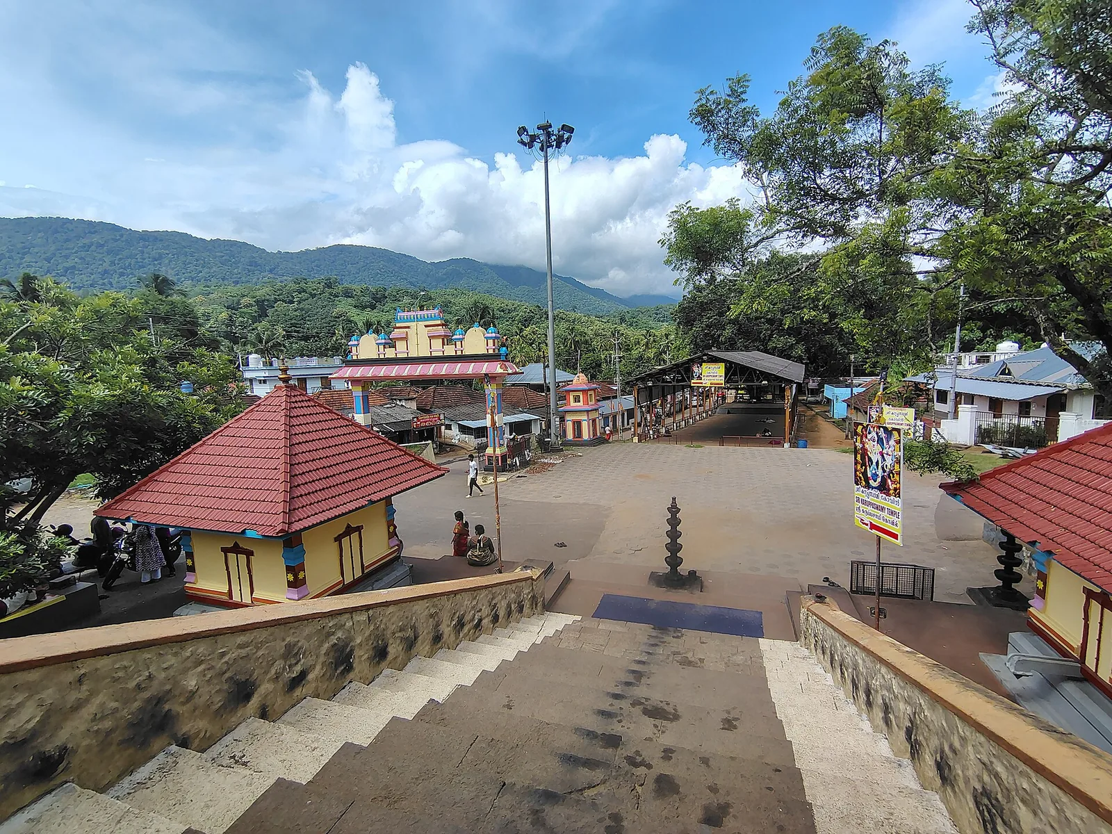
A forest Sastha temple on the Achankovil river where Ayyappa presides as a married householder with two consorts, Poorna and Pushkala — and where the deity is Maha Vaidya, the great physician: the bell may be rung at any hour for a snakebite and the shrine opens at night. ⚠ No timings are published by anyone. 🛑 It has no eighteen holy steps; that is Sabarimala’s.
16.0 km · ~27 min by cab · straight line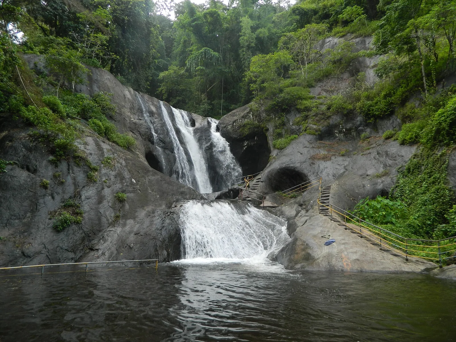
A two-tier waterfall on the Achankovil river, with steps cut into the rock beside the cascade, run by a village forest-protection committee under the Achenkovil Forest Division. Published heights range from 70 ft to 250 ft and none is a measurement.
18.5 km · ~31 min by cab · straight line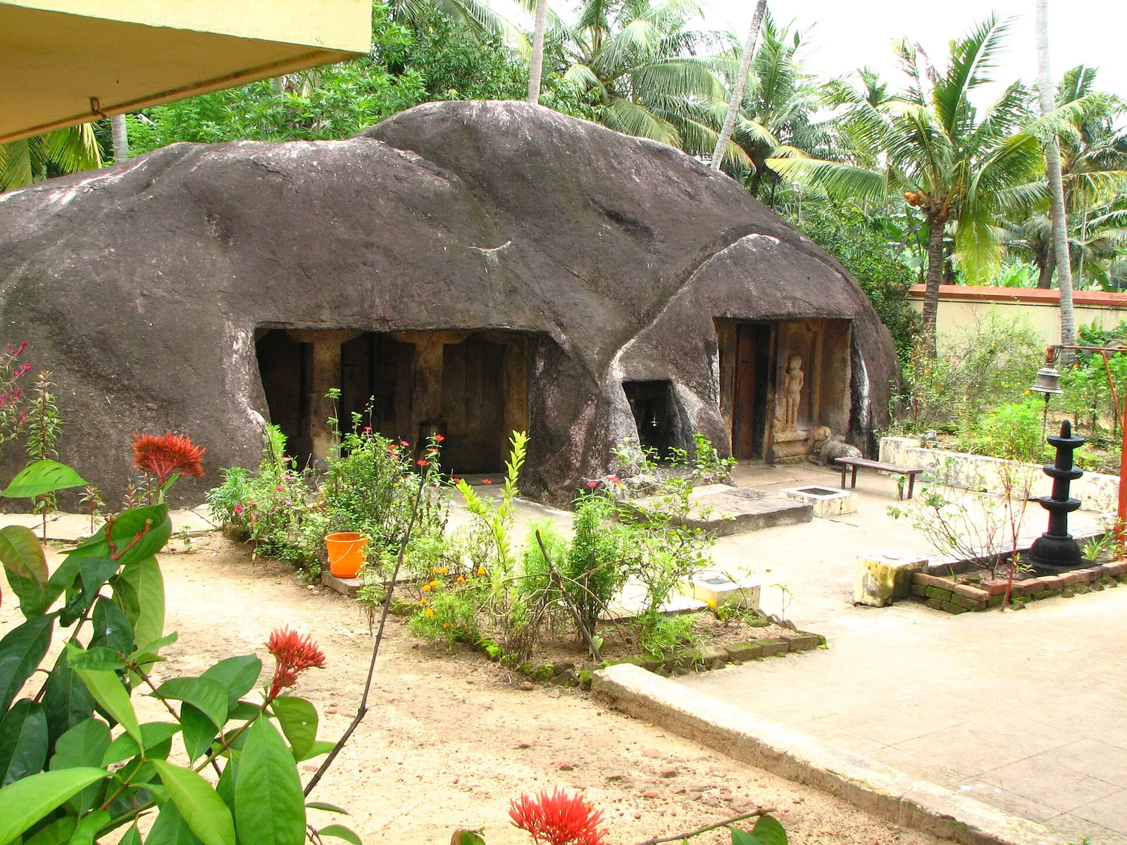
A monolithic rock-cut cave temple near Anchal/Kadakkal in south Kollam, carved with a Shiva shrine.
18.8 km · ~31 min by cab · straight lineIt depends which government document you read, and we can now say why. The 1984 notification that created it states the extent as 10,032 hectares — 100.32 sq km — while describing a boundary that encloses far more. The Forest Department's management plan and website say 171 sq km, Kerala Tourism says about 172, Wikipedia says 172.403. The mapped boundary measures about 173.7 sq km, so the 171–172 family matches the ground and the notification's own figure is the outlier, uncorrected since 1984.
On 25 August 1984, by G.O.(P) No. 258/84/AD (S.R.O. No. 1166/84), under section 18(1) of the Wildlife (Protection) Act 1972, after the Quilon circle-level committee proposed it and the State Wildlife Advisory Board recommended it. It is the only wildlife sanctuary in Kollam district.
Yes. Entry is controlled by the Forest Department and arranged in person at the forest section office at Thenmala, under the Wildlife Warden, Shendurney Wildlife Division. It is not a counter ticket, and it is not the same as entry to the Thenmala eco-tourism zones next door — you cannot add the sanctuary on at the eco-tourism window. Programmes are delivered by the Shendurney Ecotourism Development Committee. ⚠ We could not find an official published fee schedule from the Forest Department, and our own sibling pages have carried two different accounts of it. Confirm charges at the office rather than from any figure online, including ours.
From the chenkurinji tree, Gluta travancorica, whose Malayalam name was anglicised. The Forest Department's plan calls it a tree confined to this tract, which overstates it: the species is endemic to the Agasthyamala landscape south of the Aryankavu Gap and grows in Peppara, Neyyar and across the border in Kalakad-Mundanthurai too. IUCN lists it as Near Threatened. There is, incidentally, no photograph of it on Wikimedia Commons.
Yes — but not the community usually named. Three private estates lie well inside the boundary: Rosemala (262 ha, 225 families, about 1,266 people), Kallar including Thengumthoppu (552 ha, 22 families) and part of Rockwood (63 ha, 2 families), 877 hectares in all. The department describes their presence as hindering effective management and proposes rehabilitation; nothing has happened. There is no Kani or Kanikkar settlement recorded inside Shendurney — that community belongs to the Peppara and Neyyar country in Thiruvananthapuram district, and our older text had borrowed it.
Yes. The Parappar dam on the Kallada creates a lake of about 18.7 sq km inside the sanctuary, roughly a ninth of its area, and the boundary broadly follows that reservoir's own catchment. The order matters: the sanctuary was declared in August 1984 and the dam commissioned in May 1986.
Thenmala, code TML, about a kilometre from the sanctuary office on the Kollam–Sengottai line. Nearly every source — including the department's own management plan — says Punalur, 20 km away, because the line was shut for broad-gauge conversion for years and only fully reopened on 31 March 2018 and nobody updated the text. Thenmala is very lightly used, about 21 passengers a day, so check that a service stops.
Realistically, forest rather than large mammals. The management plan records 35 mammals, 268 birds, 36 reptiles, 29 amphibians, 42 fishes and 257 butterflies, and lists elephant and tiger among globally threatened species present. Gaur, sambar, Nilgiri langur and lion-tailed macaque are here. Sightings are chance; the boat, the trees and the birds are the reliable part.
October to March is the standard recommendation, with the south-west monsoon from June to September. ⚠ No statutory closed season is published for Shendurney; the department can be most restrictive during the dry fire season, when fire lines and watchers are mobilised, so check access for your date.
Yes, of the Agasthyamala Biosphere Reserve — 3,500.36 sq km across Kerala (1,828) and Tamil Nadu (1,672.36), established by India in 2001 and admitted to UNESCO's World Network in 2016. It takes in Shendurney, Peppara and Neyyar, and across the border the Kalakad–Mundanthurai Tiger Reserve.
Not that we could verify, and we will not repeat it. The 2016 reports that get cited concern a proposed Achankovil wildlife sanctuary — a different, adjacent reserve-forest block — and the Agasthyamala Biosphere Reserve's admission to the UNESCO network. Neither is a tiger-reserve proposal for Shendurney.
Dryer months are easier for wildlife access; monsoon access depends on local rules.
Entry: ⚠ Unresolved, and we would rather say so. We could not find an official current fee schedule from the Kerala Forest Department, and our own sibling pages have carried two contradictory accounts — one saying permit fees apply and differ for Indians and foreigners, the other saying there is no entry fee for the sanctuary itself. The 'no entry fee' formulation traces to tourism aggregators, not to the department. 🆕 2026-08-15: there IS now a hard source for the PROGRAMME tariffs, though not for a bare sanctuary entrance fee — the Forest Department's own live booking platform catalogues Shendurney as eco-centre 89 with twenty priced products. See the Shendurney trek page. It also decodes the figure everyone quotes: Kerala Tourism's ₹7,500 for two, ₹1,500 per extra head, is a PRE-GST base rate — ₹7,500 × 1.18 = ₹8,850, exactly the operator's current 6 Hr trekking price, while camping for two is ₹7,875. Treat ₹7,500 as quoted and stale, not current. Confirm at the office. Timings: ⚠ We could not source opening hours from any Forest Department document, so we no longer publish a window as though it were official. Entry is by permission arranged in person at the forest section office at Thenmala; programmes are timed to morning and late afternoon. Note this is not day-visit only — camps inside the sanctuary, including Idimuzhangan about an hour by boat from the dam catchment, are part of the department's own programme.
Base yourself in Thenmala or a nearby town in Kollam, then confirm the last-mile route locally before leaving. Book official entry, safari, boat or eco-tourism slots first, then plan transport and stay. If the visit depends on forest, temple, boat, ferry, weather or seasonal access, check the official/local rule on the day before travel.
Half day to full day.
Nearby you can pair Thenmala (190 m), Thenmala trekking (820 m), Thenmala Dam (1.2 km), Kulathupuzha Sastha Temple (6.7 km).
Do not feed or approach wildlife. Use official routes and approved operators only.
Written about Shendurney Wildlife Sanctuary itself — its history, its legends and the arguments about them.
These guides explore Thenmala and the surrounding area. Choose a visit that fits your interests, allowing separately for travel between stops.


Route-level itineraries and practical guides for the rest of Kerala.
Photographs: Jaseem Hamza (CC BY 3.0), Dhaval Momaya (CC BY-SA 3.0), Navaneeth Sini George (CC BY-SA 4.0), Rama Warrier (CC BY-SA 4.0), Haravinth rajan (CC BY-SA 4.0). Wikimedia Commons.