What to expect
Highlights
- Waterfall viewpoint at Kumbhavurutty Waterfalls
- Forest-edge scenery
- Short walks, food stops or nearby viewpoints where available
A two-tier waterfall on the Achankovil river, with steps cut into the rock beside the cascade, run by a village forest-protection committee under the Achenkovil Forest Division. Published heights range from 70 ft to 250 ft and none is a measurement.
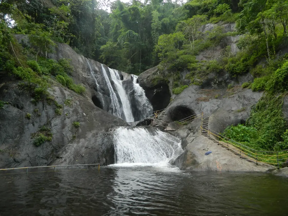
A two-tier waterfall on the Achankovil river, with a cut-rock staircase climbing the side of it and a ticket counter run by a village forest-protection committee that has held it since 2001. Almost everything printed about this place — including, until now, our own page — files it under Thenmala. The Forest Department's signboard at the gate says otherwise.
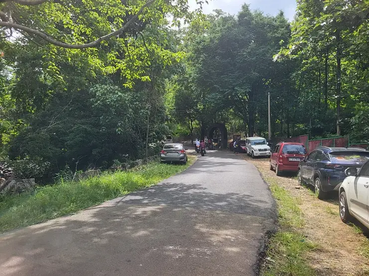
You drive to it. There is no trek in: a tarred road runs through the forest to a stone arch lettered KUMBHAVURUTTY WATER FALLS, with cars and motorcycles parked along the verge and a ticket chair under the arch. From there it is a short walk — reported at about 500 metres — on a concrete stepped path through the trees to the water. This matters, because our own page used to describe a medium-to-moderate half-kilometre trek over boulders and root-tangled slopes, and that is not what is here.
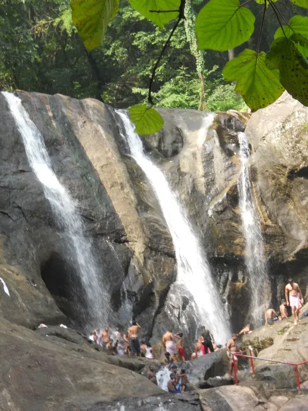
The fall itself drops in two clear segments over dark, hollowed rock. The most distinctive thing about it is not the cascade but what has been built beside it: steps cut into the rock with steel handrails, climbing the right-hand side so that you can walk up to the top of the fall. There is a rail across the near edge of the plunge pool and railings along the rock shelf. It is a managed bathing site, and it looks like one.
The pool is the most important thing to get right here. The water is widely described as shallow — knee-to-waist, around a metre or less — with a dip 'popular'. We have found no source for that depth at all. The Forest Department's published warning is of slippery rocks and strong undercurrents; admission is capped at 100 visitors an hour; and trained guides, civil defence personnel and an ambulance are stationed on site. That is an unusually heavy safety establishment for a small Kerala waterfall, and it tells you what the department expects. Our reassurance was unsourced and pointed the wrong way.
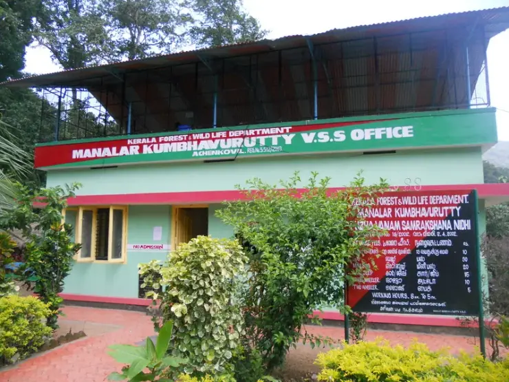
Who runs it is the second correction. This is not a Thenmala eco-tourism site. The signboard at the gate, photographed in June 2026, reads KERALA FORESTS & WILDLIFE DEPARTMENT — ACHENKOVIL FOREST DIVISION, with a panel of elephant, great hornbill, gaur and sambar. The office by the falls is the Manalar Kumbhavurutty Vana Samrakshana Samithy — a village forest-protection committee — registered 551/2/2001, and the same committee runs the Manalar fall two kilometres away. The ticket you buy is not a state levy; it goes to a samrakshana nidhi, a protection fund.
The falls were shut to the public for about five years and reopened in September 2024, and they were opened again for the 2026 season in June alongside Manalar and Palaruvi — the same forest-department push that put Palaruvi back in service on 25 May 2026. Nobody publishes why they closed. Floods and the pandemic are the obvious guesses and we have no evidence for either, so we are going to say the reason is not on the public record rather than pick one.
The best fact here is the one nobody prints. Palaruvi is 13.5 km away in a straight line and belongs to a different river system: it drains to the Kallada and out through Ashtamudi at Kollam. Kumbhavurutty is on the Achankovil, which runs west through Kollam, Pathanamthitta and Alappuzha to join the Pamba and reach the sea through Vembanad, a hundred kilometres up the coast. Two waterfalls, a morning's drive apart, with the drainage divide of southern Kerala running between them. Water that falls on one hill ends up at Kollam; water that falls on the next one ends up at Alappuzha.
The claim to deal with first is one we were making ourselves, in four different places: that Kumbhavurutty is part of Thenmala, India's first planned eco-tourism destination, and is managed within that framework. It is not, and the disproof is a photograph of a signboard. The gate carries the Kerala Forests & Wildlife Department's own board reading ACHENKOVIL FOREST DIVISION. The office beside the falls is painted MANALAR KUMBHAVURUTTY V.S.S OFFICE, ACHENKOVIL, REG. No. 551/2/2001. Thenmala town is 18.4 km away, in a different forest division and a different river basin, and the Thenmala operator's own site does not claim this fall.
Where did the claim come from? As far as we can trace it, from thenmalaecotourism.org — a look-alike domain that is not the Thenmala operator, whose real site is the .com. We caught the same domain feeding us a wrong tariff on a neighbouring page last week. Here it did something worse than a wrong number: it supplied an entire false institutional identity, which every aggregator then copied, and which we then copied from them. The nearest railhead, Aryankavu, is 35 km away — and the travel sites turned a railhead into an address.
Then the timings, which are the strangest thing we have found on any Kollam page. Our record published hours of 08:00 to 17:00. There is a 2011 photograph of the VSS office, and beside its door is a hand-painted tariff board citing order No. 18/2002 dated 2.4.2002, listing entrance fees, a jeep rate and a two-wheeler rate, and reading at the bottom: WORKING HOURS 8 am To 5 pm. That is our opening time, word for word, off a board painted in 2002. Our ₹25 adult and ₹10 child came from the same family of figures. We have been republishing a twenty-four-year-old signboard as current information.
So what does it actually cost? No forest-department tariff is published. DTPC Kollam, the district's tourism council, lists ₹50 per adult and ₹25 per child with offline booking only. Onmanorama's report on the reopening of 25 June 2026 gives ₹60 and ₹30 with online booking available. The newer report and official district listing therefore disagree; carry extra cash and check the amount before entering.
The height is a genuine mess and we are not going to resolve it. English Wikipedia says 25 metres. Malayalam Wikipedia says 250 feet — 76 metres, three times larger, on the same encyclopedia in another language. DTPC Kollam prints 70 feet, the smallest figure of all. Aggregators print 30 to 40 feet. Our own page said roughly 25 metres, about 82 feet — and that 82 was not corroboration, it was the 25 run through a unit converter, the same laundering we caught on the neighbouring falls. The photographs suggest tens of metres rather than seventy-six. Nobody has put a measuring instrument on this waterfall.
Last, the two words that appear in nearly every description, ours included: undiscovered and unspoiled. We wrote that you might share the pool with nobody but dragonflies. The department caps admission at a hundred people an hour and keeps an ambulance on site, and photographs from 2011 show the rock shelf packed shoulder to shoulder with bathers standing directly under the chutes. There is also a live confusion to know about: DTPC files this as one destination with Manalar, also called Achankovil Falls, which is a separate waterfall 2.16 km away on the same river under the same committee. Anyone writing about one of them is quite likely looking at photographs of the other.
Kumbhavurutty is a segmented fall on the Achankovil river, in the forest above the Achankovil–Chenkottai road in eastern Kollam district. Malayalam Wikipedia is more specific than any English source: the fall forms where the Achankovil's Kaivali branch meets streams draining the Pulikavala and Kanayar areas.
The river it belongs to is not the one the nearby falls belong to. The Achankovil runs west through Kollam, Pathanamthitta and Alappuzha and joins the Pamba, reaching the sea through the Vembanad system; Palaruvi, 13.5 km away, drains to the Kallada and Ashtamudi. The catchment boundary between them runs through these hills.
The falls stand in the Achenkovil Forest Division of the Kerala Forests & Wildlife Department, in the wider Konni forest tract. Day-to-day the site is run by the Manalar Kumbhavurutty Vana Samrakshana Samithy — a village forest-protection committee registered as No. 551/2/2001 — which also runs the Manalar fall about two kilometres away and operates an eco-contact and nature interaction centre here. Community management at this site is therefore documented back to 2001.
A hand-painted tariff board at the samithy office cites order No. 18/2002 dated 2.4.2002 and sets out entrance fees, a jeep rate and a two-wheeler rate, with working hours of 8 a.m. to 5 p.m. It is still legible in photographs and is the source of a good deal of the information circulating about this site, including, until this correction, our own opening hours.
The wider valley is pilgrimage country. Achankovil village holds a celebrated Ayyappa (Dharmasastha) shrine associated with the Sabarimala circuit, and the eco-pilgrimage route linking Kulathupuzha, Aryankavu and Achankovil has carried devotees through these forests for generations. The Chenkottai road over the ghats connects the valley to Tenkasi and the Tamil plains, about 27 km east.
The site was closed to visitors for about five years and reopened in September 2024. It reopened again for the 2026 season in June, reported alongside the restoration of access at Manalar and Palaruvi. No published source states why it closed. Admission is now capped at 100 visitors per hour with guides, civil defence personnel and an ambulance on site.
A two-tier fall with a staircase cut into the rock beside it, so you can climb to the top of the cascade rather than only look up at it.
It is run by a village forest-protection committee that has held the gate since 2001 — the ticket goes to a protection fund, not to a state tourism board.
You drive to the gate. There is no shuttle and no long trek: a tarred road, roadside parking, and a walk of about 500 metres down a stepped path.
It sits on the far side of the drainage divide from Palaruvi — two waterfalls a short drive apart that send their water out through different rivers to different parts of the coast.
The Achankovil valley beyond it is genuine forest and pilgrimage country, with the Ayyappa shrine at Achankovil and the road over the ghats to Tenkasi.
Flow is best after the monsoon, and the site has only recently come back into use after years of being shut.
Road km to Kollam; ghat roads and traffic vary — allow extra.
Post-monsoon is usually strongest; dry months are easier for access but water volume may be lower.
Live forecast loads in your browser.
Check the official alert before you travel. Kerala’s beaches, waterfalls and trekking routes close at short notice during heavy rain, and district alert levels change day to day. We do not publish an alert level of our own — read it from the state authority: Kerala State Disaster Management Authority, or the district control room on 1077.
Sun and moon are calculated for this location and shown in IST. Photography windows are the hour around sunrise and sunset; the sunset bearing is degrees clockwise from true north. Moon phase is accurate to about half a day.
Verified hotels, homestays, restaurants, experiences, sights, shops and rentals around Kumbhavurutty Waterfalls — commission-free, with direct contact. Filter by what you need.
Forest Department eco-contact centre for the Kumbhavurutty and Manalar falls, run with the local Vana Samrakshana Samithy; open 8.00 am to 4.30 pm.
Kerala PWD Class II rest house at Achankovil, bookable through the state government's online rest house booking portal.
Headquarters of the Kerala Forest Department's Achencoil Forest Division, the office that controls access to the Achankovil forests.
Kerala State Road Transport Corporation buses link Achankovil with Punalur, the nearest depot, by two different routes.
India Post branch office serving Achankovil village, PIN 689696, in Pathanapuram block of Kollam district.
Book with the place itself. India’s cyber-crime coordination centre warned in April 2025 that convincing copies of hotel and pilgrimage booking sites are being pushed through sponsored search and social ads, taking payment for rooms the property never hears about. Every listing here links to the business’s own contact details and its own Google or Bing profile — we take no commission and sit in nobody’s payment path. If a booking page reached you through an ad, check the address bar against the property’s own site before you pay. Fraud can be reported on cybercrime.gov.in or on 1930.
Find food, accommodation and activities across Achankovil. Browse the guides for places to eat, stay and explore along your route.
One more place around Achankovil worth a day of its own.
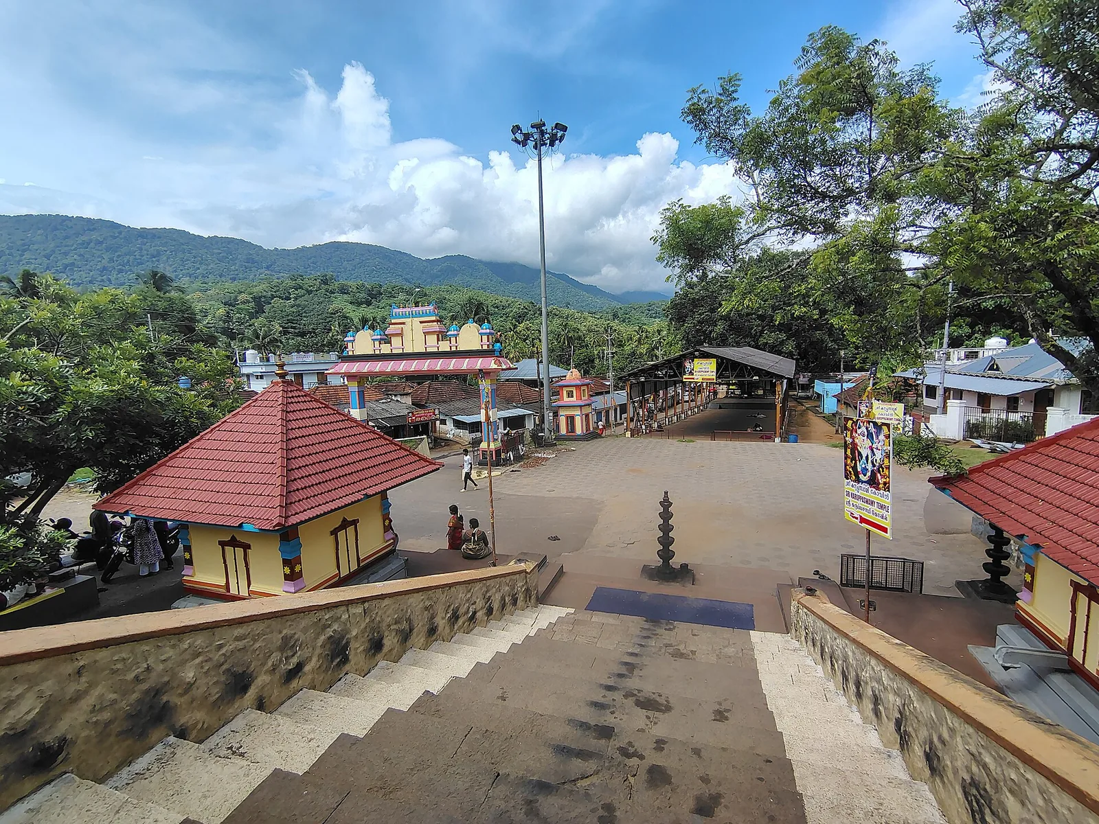
5.7 km · ~14 min by auto
A forest Sastha temple on the Achankovil river where Ayyappa presides as a married householder with two consorts, Poorna and Pushkala — and where the deity is Maha Vaidya, the great physician: the bell may be rung at any hour for a snakebite and the shrine opens at night. ⚠ No timings are published by anyone. 🛑 It has no eighteen holy steps; that is Sabarimala’s.
Roampedia is commission-free — own or know a stay, eatery, guide or shop near Kumbhavurutty Waterfalls? List it and it appears here once verified.
Add a nearby businessEntry: ⚠ No official forest-department tariff is published. DTPC Kollam lists ₹50 per adult and ₹25 per child with offline booking only, while Onmanorama's report on the 25 June 2026 reopening gives ₹60 and ₹30 with online booking. Older ₹25/₹10 figures date to a 2002 board. Carry extra cash and check the payable amount before entering.
Dress code: Practical outdoor wear and genuinely grippy shoes: the hazard here is wet rock, not distance. Light quick-drying clothes and a change of clothes if you intend to get in the water, and modest dress in keeping with the surrounding pilgrimage villages.
Festivals: The falls have no festival, but the Ayyappa shrines at Achankovil, Aryankavu and Kulathupuzha are busiest through the Sabarimala season (roughly November to January), which affects traffic on the approach roads.
Photography: The two-tier drop, the hollowed rock and the cut-rock staircase are the shots. Spray and forest shade make for low light; bring a rain cover. Check locally whether any camera charge applies inside the reserve.
If you are travelling by bus or ferry, check the return service with the operator before setting out. Leave time to reach the stop or jetty after your visit.
Ask at the bus stand for the time of the last service back, not the next one. If you miss it, an auto or app cab is the fallback — agree the fare before you get in.
If you need step-free access, contact the site before travelling. Ask about a level entrance, steps along the route, the nearest drop-off point, seating and accessible toilets.
Emergency numbers are verified against official government and state tourism sources. 112 works anywhere in India.
A forest Sastha temple on the Achankovil river where Ayyappa presides as a married householder with two consorts, Poorna and Pushkala — and where the deity is Maha Vaidya, the great physician: the bell may be rung at any hour for a snakebite and the shrine opens at night. ⚠ No timings are published by anyone. 🛑 It has no eighteen holy steps; that is Sabarimala’s.
5.7 km · ~14 min by auto · straight line
Twenty Forest Department programmes in the Shendurney Wildlife Sanctuary — walks of one to six hours, a dawn birding trail, boat and vehicle safaris and four camps — booked at the wildlife office at Thenmala. Rates are per group and include 18% GST.
18.5 km · ~31 min by cab · straight line
A protected evergreen forest in the Agasthyamalai Biosphere Reserve east of Thenmala, named for the Chenkurinji tree and centred on the Parappar reservoir.
18.5 km · ~31 min by cab · straight line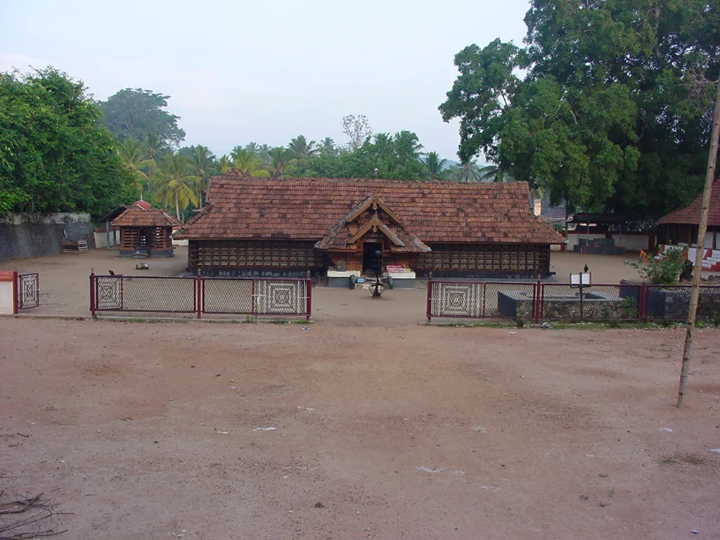
The Sastha temple on the Kollam–Shencottai road where the god is Bala Sastha, the child, and the river alongside is full of protected fish the devotees call Thirumakkal — the sacred children of the lord. Feeding them puffed rice, meenoottu, is the temple’s characteristic offering and fishing is prohibited outright; one of the two species present, Hypselobarbus thomassi, is critically endangered and endemic to the Western Ghats. Named in every published version of the Pancha Sastha. Three 15th-century sculptures from here are in the Napier Museum, Thiruvananthapuram.
23.9 km · ~40 min by cab · straight lineA community-linked forest and wetland visitor area near Madathara, used for guided birding and nature walks rather than an unrestricted independent forest excursion.
31.8 km · ~53 min by cab · straight line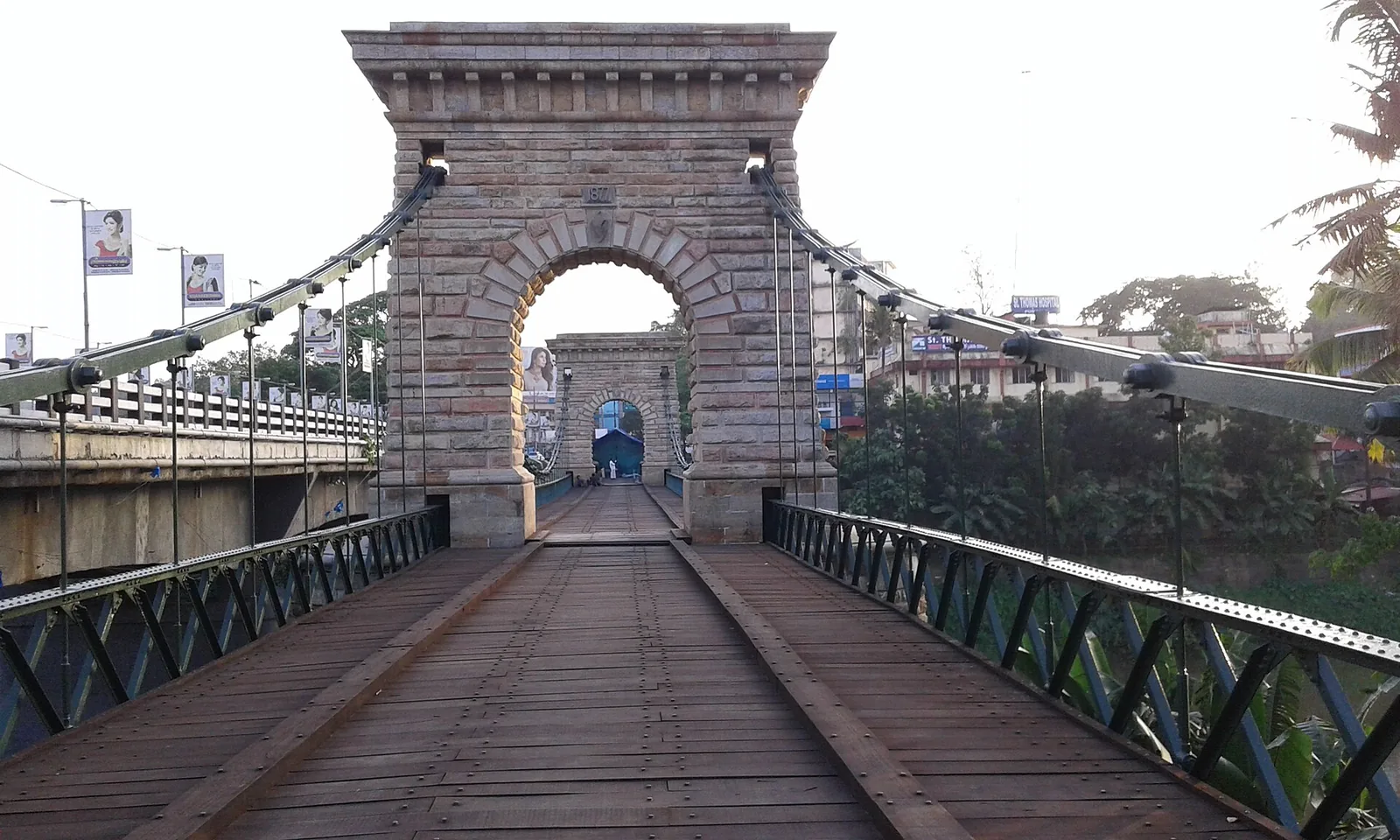
A rare 1877 Travancore-government suspension bridge over the Kallada river at Punalur, in east Kollam on the way to the ghats.
45.3 km · 62 min drive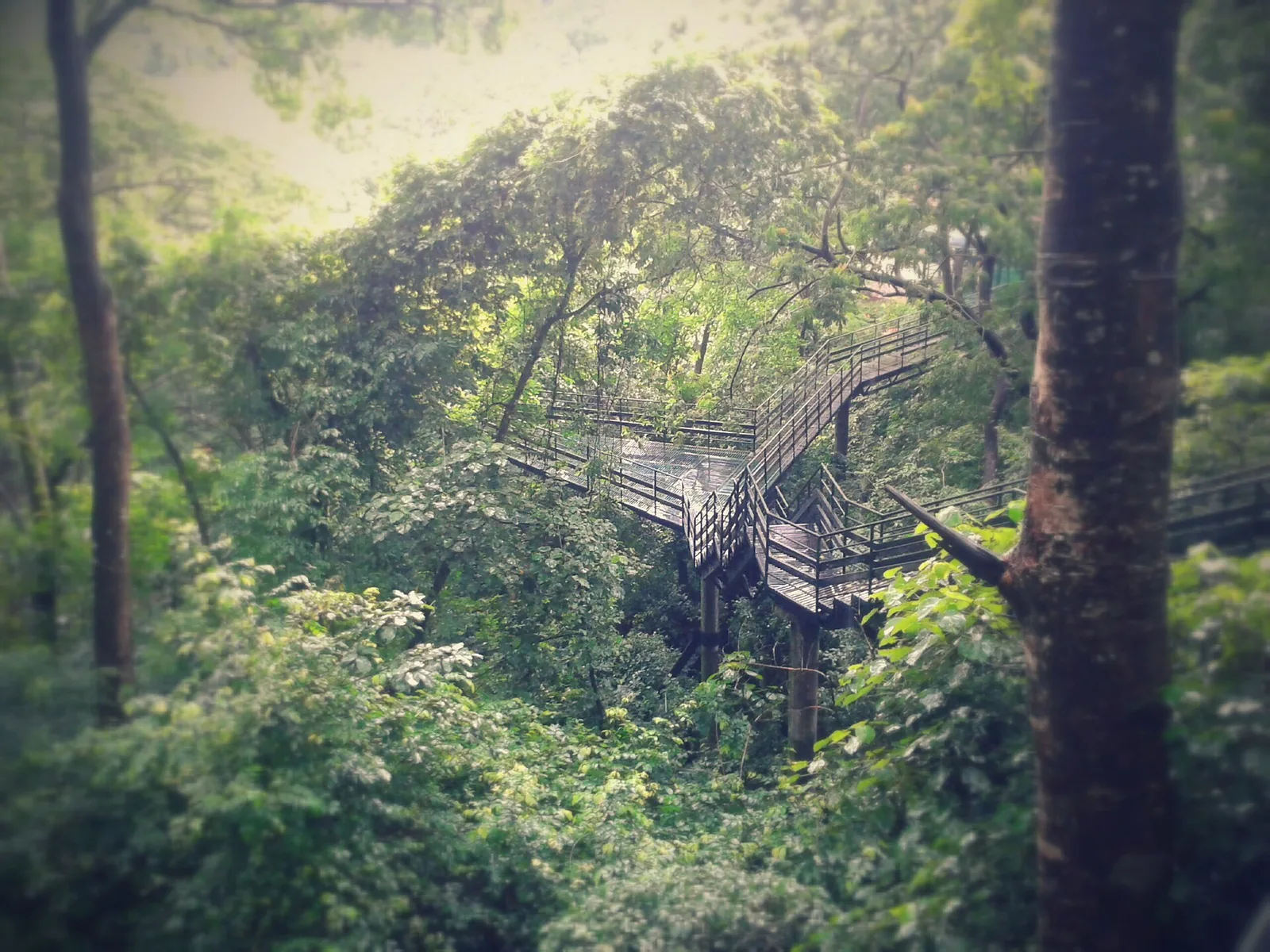
Guided trekking trails at Thenmala, billed as India’s first planned eco-tourism destination, through the Shendurney forests and dam catchment in Kollam.
53.3 km · 73 min drive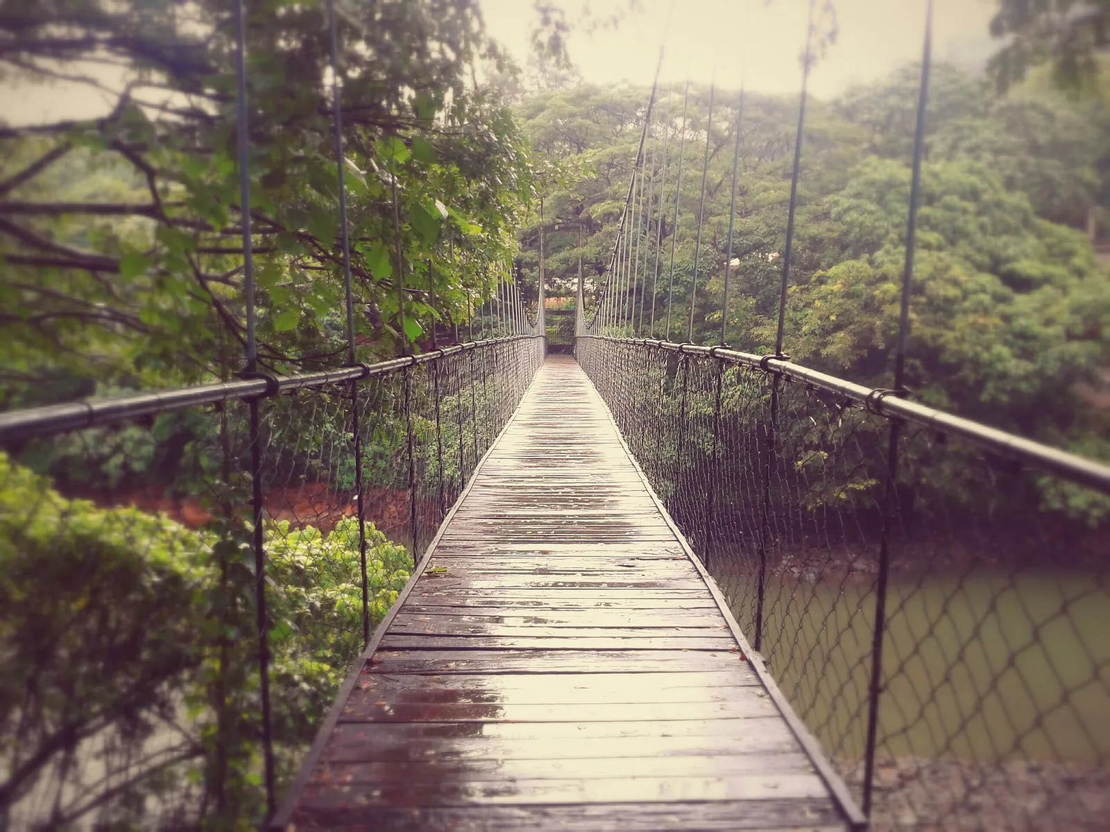
Eco-tourism area with forest walks, dam views and adventure activities.
54.1 km · 76 min drive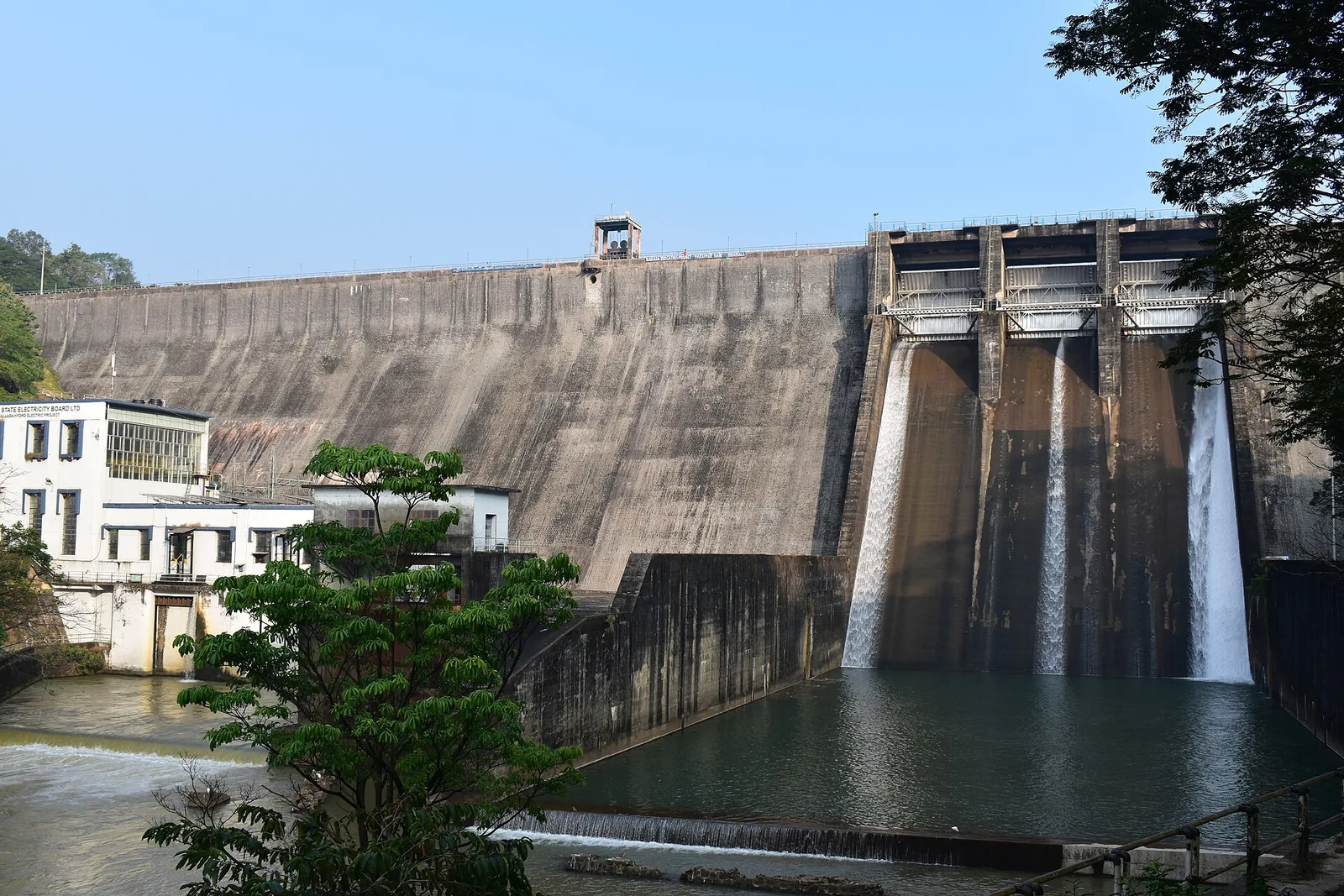
The Parappar dam across the Kallada river at Thenmala, built for irrigation — the reservoir behind it is the water the eco-tourism area is built around, and the catchment upstream is Shendurney sanctuary.
54.3 km · 77 min drive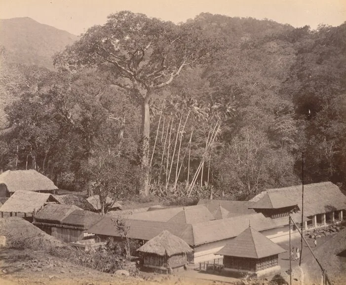
The Sastha temple on the old Kollam–Sengottai road and rail route into Tamil Nadu, where Ayyappa is worshipped married to Pushkaladevi rather than celibate — with a forest village, a railway pass and the Palaruvi road around it.
67.0 km · 88 min drive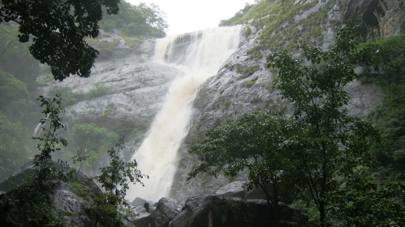
Tall forest waterfall near the Aryankavu side of the Western Ghats, reached by forest shuttle from the highway.
67.6 km · 89 min drive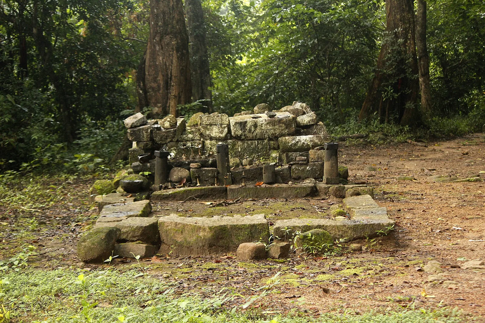
A valley settlement inside Shenduruney Wildlife Sanctuary, reached by 11–15 km of forest road from Aryankavu, with a ticketed Forest Department viewpoint, a departmental safari and guided walks beyond the village.
76.9 km · 108 min driveWalking and driving times are real routed distances, except the few marked “straight line”, which are direct-line estimates and will read short. Fare figures are estimates from Kerala’s notified auto/taxi tariff and exclude waiting and night charges. Routing: © openrouteservice.org by HeiGIT | Map data © OpenStreetMap contributors
No, and this is the single most repeated error about the place — we were making it ourselves until this correction. The Forest Department's signboard at the gate reads Achenkovil Forest Division, and the site is run day to day by the Manalar Kumbhavurutty Vana Samrakshana Samithy, registered 551/2/2001. Thenmala is 18.4 km away, in a different forest division and a different river basin. The claim appears to originate on a look-alike domain rather than with the Thenmala operator.
There is no tariff published by the Forest Department or the Achenkovil division that we can find. DTPC Kollam publishes ₹50 adult and ₹25 child, offline booking only; Onmanorama, reporting the June 2026 reopening, gives ₹60 adult and ₹30 child with online booking. DTPC also gives 08:00 to 16:30 daily. Our own previous ₹25/₹10 and 08:00–17:00 came, we now believe, from a signboard painted in 2002 — do not rely on them, and expect to pay a little more than any figure printed online.
Treat the pool with respect. We previously described it as shallow, knee-to-waist deep, and we have found no source for that at all. The Forest Department's own warning is of slippery rocks and strong undercurrents, visitors are capped at 100 an hour, and trained guides, civil defence personnel and an ambulance are stationed at the site. There is a rail across the near edge of the pool and railings on the rock shelf. People do bathe here, but this is a supervised site with a real hazard, not a paddling spot.
Nobody knows, and the published figures are not close. English Wikipedia says 25 metres, Malayalam Wikipedia says 250 feet (about 76 m), DTPC Kollam says 70 feet, and aggregators say 30 to 40 feet — a factor of three and a half between the extremes. Our old figure of 82 feet was simply 25 metres converted. The photographs suggest tens of metres rather than seventy-six, and we would rather print the disagreement than a false precision.
It is on the Achankovil–Chenkottai road, not the Kollam–Shencottah road — that distinction is the reason most descriptions of this place are wrong. The usual approach from Kollam is via Ayoor and Konni towards Achankovil, roughly 117 km and about three and a half hours by aggregator routing. Aryankavu is the nearest railhead at about 35 km and the nearest bus stand at about 36 km, Tenkasi is around 27 km east, and Thiruvananthapuram airport is about 99 km. DTPC publishes the Forest Range Officer's numbers, +91 85476 00500 and 00503, which is the only direct line to the operator anyone prints.
Not in the usual sense. A tarred road reaches a stone entrance arch with roadside parking, followed by a reported 500-metre walk on a stepped concrete path. The often-quoted four kilometres appears to describe the forest road from the Chenkottai–Achankovil route rather than the visitor walk. Wear grippy shoes for wet rock and steps.
They are 13.5 km apart in a straight line and further by road, and they are not even in the same river system: Palaruvi drains to the Kallada and Ashtamudi, Kumbhavurutty to the Achankovil and the Pamba. Palaruvi is the taller and far busier, and you cannot drive in — there is a mandatory forest shuttle from the ticket counter. Here you drive to the gate and walk a few hundred metres. Both reopened for the 2026 season within weeks of each other under the same forest-department push.
No. Manalar — also called Achankovil Falls — is a separate waterfall about 2.16 km away on the same river, run by the same village committee, and DTPC files the two together as a single destination. Photographs and descriptions of the two cross-contaminate constantly, so check what you are actually looking at before you plan around an image.
Flow is strongest late in the monsoon and just afterwards. Onmanorama reported low water at the June 2026 reopening. Unlike Palaruvi, this site has no published fixed seasonal closure, but it has experienced long closures; check the current access status before travelling.
An eco-contact centre and nature interaction centre run by the village forest-protection committee, and the steps up the side of the cascade. Beyond that the draw is the valley: the Ayyappa shrine at Achankovil, the forest road over the ghats towards Tenkasi, and a stretch of the Western Ghats that sees far fewer visitors than the Thenmala side of the divide.
Post-monsoon is usually strongest; dry months are easier for access but water volume may be lower.
Entry: ⚠ No official forest-department tariff is published. DTPC Kollam lists ₹50 per adult and ₹25 per child with offline booking only, while Onmanorama's report on the 25 June 2026 reopening gives ₹60 and ₹30 with online booking. Older ₹25/₹10 figures date to a 2002 board. Carry extra cash and check the payable amount before entering. Timings: DTPC Kollam publishes 08:00 to 16:30 daily. 🔴 Our previous '08:00–17:00' was, we now believe, transcribed from a hand-painted tariff board at the samithy office citing order No. 18/2002 dated 2.4.2002 — a twenty-four-year-old signboard. The earlier 'weekend slots around 10:00–12:00 and 16:00–18:00' had no source we could find and is removed. Access is under forest-department control and can be suspended.
Base yourself in Achankovil or a nearby town in Kollam, then confirm the last-mile route locally before leaving. Visit early and check whether the falls are open; waterfall access can close quickly in heavy rain. If the visit depends on forest, temple, boat, ferry, weather or seasonal access, check the official/local rule on the day before travel.
1 to 3 hours.
Nearby you can pair Achankovil Sastha Temple (5.7 km), Shendurney trek (18.5 km), Shendurney Wildlife Sanctuary (18.5 km), Kulathupuzha Sastha Temple (23.9 km).
Do not enter restricted pools or climb wet rocks. Flash-flood risk rises during heavy rain.
Written about Kumbhavurutty Waterfalls itself — its history, its legends and the arguments about them.
These guides explore Achankovil and the surrounding area. Choose a visit that fits your interests, allowing separately for travel between stops.
Route-level itineraries and practical guides for the rest of Kerala.
Photographs: Santoshsellathurai (CC BY-SA 4.0), Fotokannan (CC BY-SA 3.0), Manukrishnan80 (CC BY-SA 4.0), Athulvis (CC BY-SA 4.0). Wikimedia Commons.