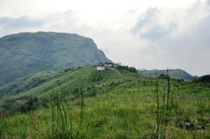
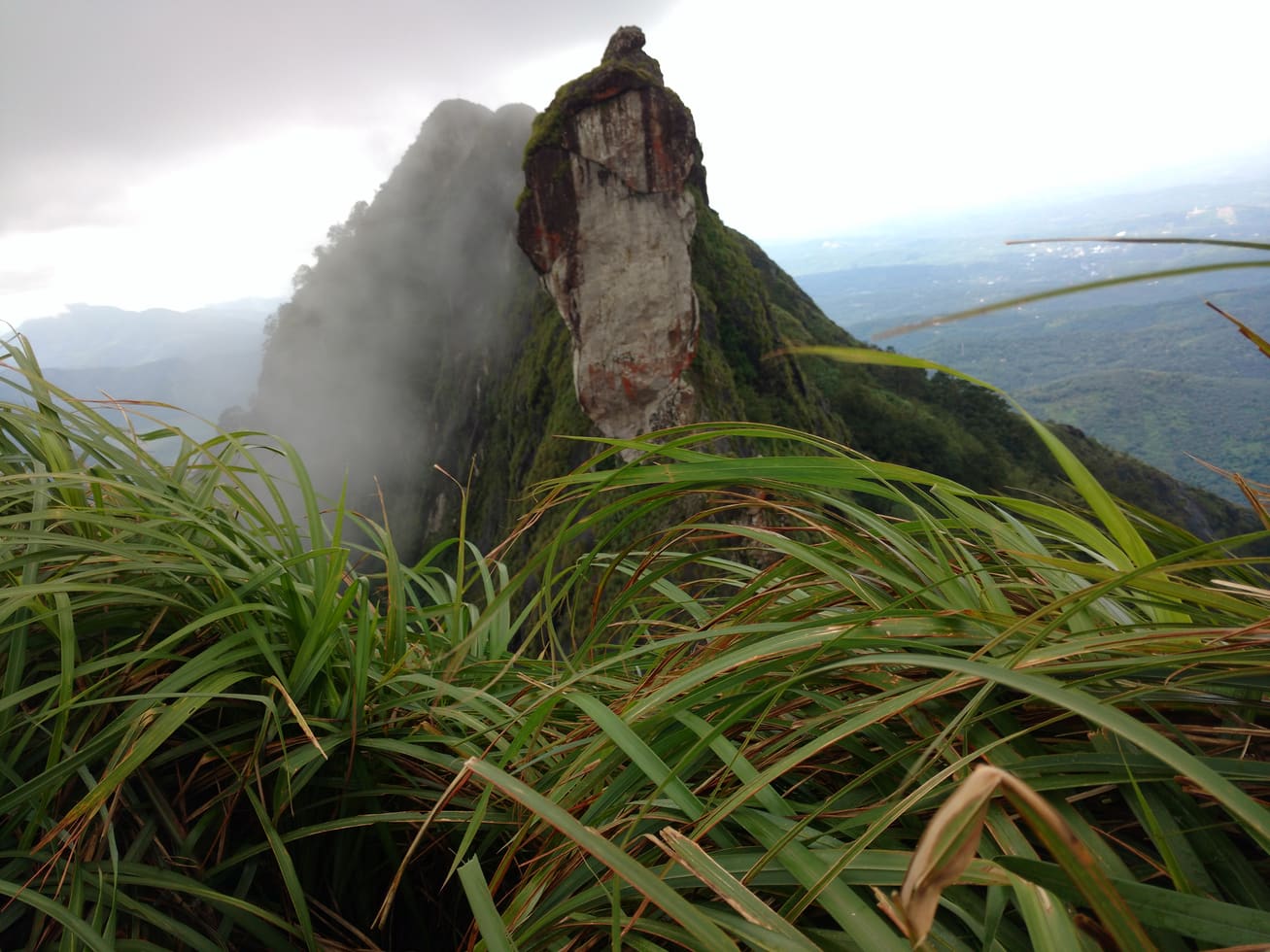
Ilaveezhapoonchira is best read as a landscape of folds. Grass follows a slope, a saddle hides the hollow beyond it and a dark band of rock interrupts the green. Walking makes those changes more apparent than a single photograph from the highest point.
The story of Ilaveezhapoonchira trek
The three hill names provide an orientation framework: Mankunnu, Kudayathoormala and Thonippara. DTPC places Ilaveezhapoonchira in Melukavu village near Kanjar and describes the valley enclosed by those hills. The names should be used to understand the landscape, not to assign an unverified identity to every peak visible through a gap in cloud.
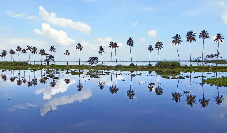
The valley’s relationship with rain is central to its description. DTPC records a seasonal transformation in which water gathers and the valley becomes lake-like during the monsoon. That is different from saying that every body of water visible far below the ridge is the local chira. In a wide view, nearby hollows and more distant water can share the same frame while belonging to different features.
The walking surface changes at a much smaller scale. A stone-covered path may give way to exposed rock, with grass growing between and beside it. In mist, the next few metres can be clear while the route ahead disappears. Watching the ground and retaining a known return line become more useful than trying to keep a distant summit in sight.
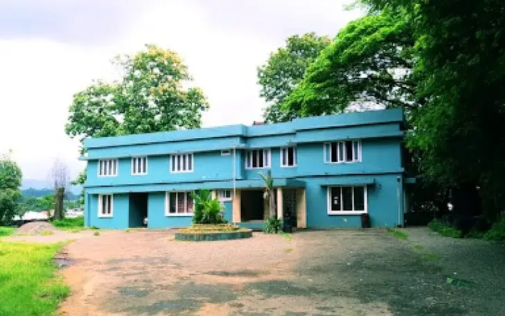
The highland is not visually untouched. Masts, approach tracks and occasional buildings are part of the scene. Recognising them makes the experience more honest and can help with orientation, but a visible structure does not establish public access to its compound. A walk through a living, used landscape can still offer a substantial view without being described as wilderness.
A jeep approach changes where the effort begins. It can carry visitors along part of the narrow road, while walking requires them to manage that distance and any onward uneven ground themselves. Neither choice should be confused with unrestricted driving across the grass. Agree the permitted drop-off, turnaround and return arrangement before beginning the hill section.
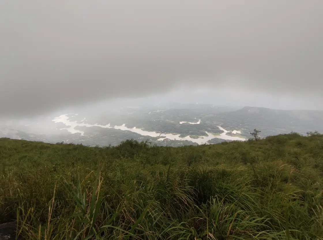
The view can change without the visitor moving very far. Low cloud may hide the far side of a valley, then reveal a pale line of water under its lower edge. The foreground grass and rock remain part of the composition. A worthwhile visit can consist of watching those layers appear and disappear rather than waiting for an entirely cloudless horizon.
The return deserves the same attention as the outward walk. Sloping rock that felt manageable on the way up can require greater care on descent, and a familiar-looking line through grass can be difficult to recognise after cloud has thickened. Keeping the route modest enough for the conditions gives time to observe the hills without turning the final stage into a rush.
Ilaveezhapoonchira sits in a landscape that is easier to understand through its approach settlements than through a single district label. Melukavu supplies the Kottayam-side orientation, while Kanjar and Kudayathoor belong to the adjoining Idukki landscape. Kudayathoor Village Office describes the surrounding Vindhyan or Kudayathoor mountain setting and the approaches through Kanjar or Melukavu. This guide uses the Melukavu-side visitor roadhead as its arrival reference. The wider hills continue across that administrative edge, which is why different local accounts can emphasise different settlements around the same highland.
The journey into the hills is therefore worth resolving before choosing a walking distance. A traveller approaching from Thodupuzha and Kanjar may have a different road plan from someone arriving through Pala and Erattupetta. Agree the roadhead and return side with the driver, especially if the itinerary continues to another town afterwards. The village names are practical orientation points, not interchangeable labels for a summit. Keeping them attached to the transport plan prevents the descent from ending on the wrong side for the next stage of the trip.
Malankara reservoir is part of the wider view described by Kerala Tourism. Its distant water belongs to a different scale from the pool associated with the place name. In clear conditions, the view can connect an elevated grassy foreground with the branching lowland water and the inhabited slopes around it. Looking at those layers gives a sense of height without needing to stand at an edge. It also helps explain why a panorama taken here can be recognisable even when the three enclosing hills are outside the camera frame.
For someone reading the view for the first time, start with what is close enough to identify: the walking surface, the outline of the nearest hill and the way cloud meets the slope. Then allow the more distant landscape to resolve. A reflective band can become a stretch of water, and a dark patch can separate into trees and shadow as the light changes. Keep that observation patient. The point is to understand the visible scene, rather than fill a photograph with names that cannot be confidently matched to the horizon.
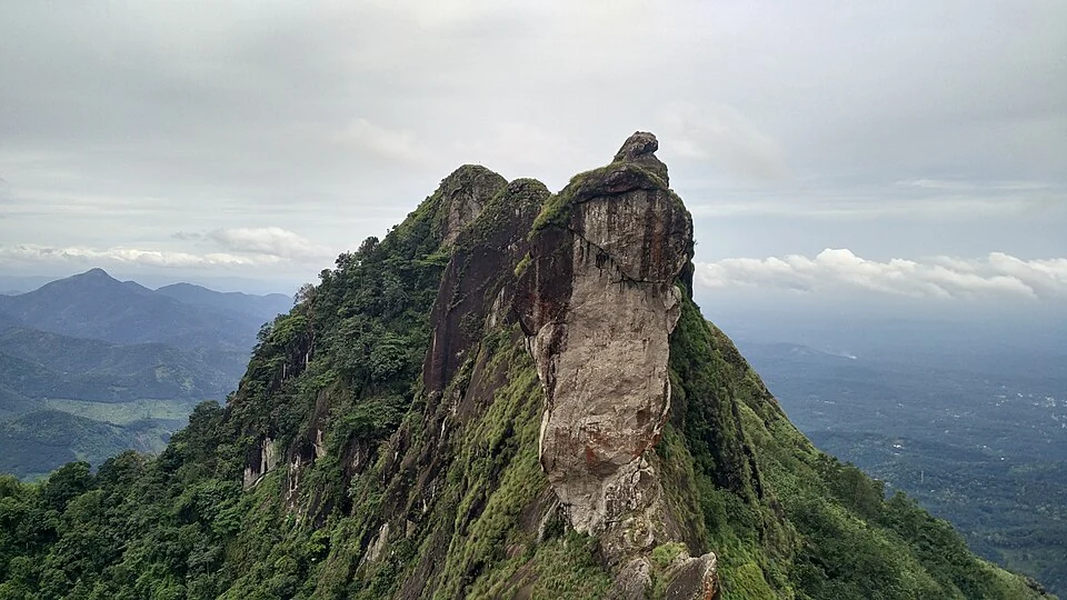
Kannadipara is a further name encountered in descriptions of this range. Kerala Tourism identifies it as the highest point and explains the Rock Mirror name through sunlight reflected from exposed rock. That is a useful piece of the range’s vocabulary. The visitor roadhead used here is not a pin for Kannadipara, and the name alone does not define an onward walking route. If a visit specifically concerns that feature, establish the local approach and permitted extent as a separate plan instead of assuming that every Ilaveezhapoonchira walk reaches it.
The relationship between open hill and enclosed hollow gives the walk much of its interest. From an exposed shoulder, distant terrain may dominate; a little lower, the nearest slope can occupy almost the whole view. Wind, visibility and the amount of sky in the scene can feel different between those positions. A modest walking circuit that stays on the accepted line can reveal this change of enclosure without needing to pursue the most distant crest. It is a landscape to observe at several scales, from a patch of stone underfoot to the hill forms around the valley.
Plan the visit around the amount of walking the group actually wants. Someone primarily interested in the panorama may prefer a permitted jeep-assisted approach followed by a limited walk. Someone choosing the trek for the movement through grass and rock needs a longer walking allowance and a dependable turnaround. Both visitors can value Ilaveezhapoonchira, but they are making different arrangements. Settle that distinction before the vehicle leaves the approach settlement, where changing the plan is easier than on an exposed hill road.
A useful walking agreement has a named start, an agreed extent and a shared return point. At Ilaveezhapoonchira those details matter more than a distance borrowed from another person’s trip, because jeep use and the selected roadhead change the length on foot. Keep the person with the least comfortable balance involved in that decision. The whole group should know which portion it intends to walk and where it will regroup if some members remain at a nearer viewing position.
The best photograph need not be the widest one. When the distance is hidden, the curve of a path through grass or cloud moving across a nearby hill can explain the atmosphere more clearly than a pale, empty horizon. When visibility improves, a little foreground gives the broad view its scale. These choices keep attention on the landscape as it is during the visit. They also leave the group free to return comfortably instead of waiting on exposed ground for a particular social-media image to repeat itself.