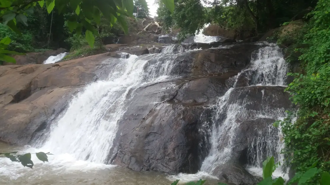
At Aruvikkuzhi, the waterfall is shaped by interruption. Rock shelves split the stream into white channels; one drop leads into another, and vegetation hangs over the sides of the descent. The surrounding rubber country makes the setting distinctly Kottayam: a waterfall woven into an inhabited agricultural landscape.
The story of Aruvikkuzhi Waterfall
The broad view explains the five-step description used by the district administration and DTPC. Instead of a single clean fall from a cliff, the stream negotiates a series of ledges. Some parts show a narrow chute, while others spread across a wider rock face. The changing width is part of the attraction, giving the eye several routes to follow through the same scene.
Photographs from different positions reveal different pieces of that descent. In one view, the bridge sits above the falls and steps rise along the right side. In another, a single chute fills the frame beneath a wall of vegetation. Neither view alone describes the whole place. Starting with the wider setting helps make sense of the close details later.
The amount of exposed rock is as informative as the white water. When flow is reduced, shelves and channels become more prominent. During wetter periods, some of those boundaries disappear behind foam. A seasonal waterfall therefore changes both in volume and in the pattern it presents to the visitor; a summer visit should not be planned around a monsoon photograph.
Rubber plantations form part of the surrounding landscape. They distinguish Aruvikkuzhi from a waterfall approached through a large protected forest and connect it to Pallickathode’s agricultural setting. The trees and tracks around the stream also belong to people’s daily work. The waterfall view is public-facing, but an adjoining plantation is not automatically an extension of the visitor area.
Pallickathode is the useful local name to carry into the journey. It identifies the inland settlement near the falls and prevents the district-level label Kottayam from becoming too vague. Kumarakom is a different landscape on the lake side of the district. Combining the two can give a varied day, provided the intervening road journey is treated as a real part of the itinerary.
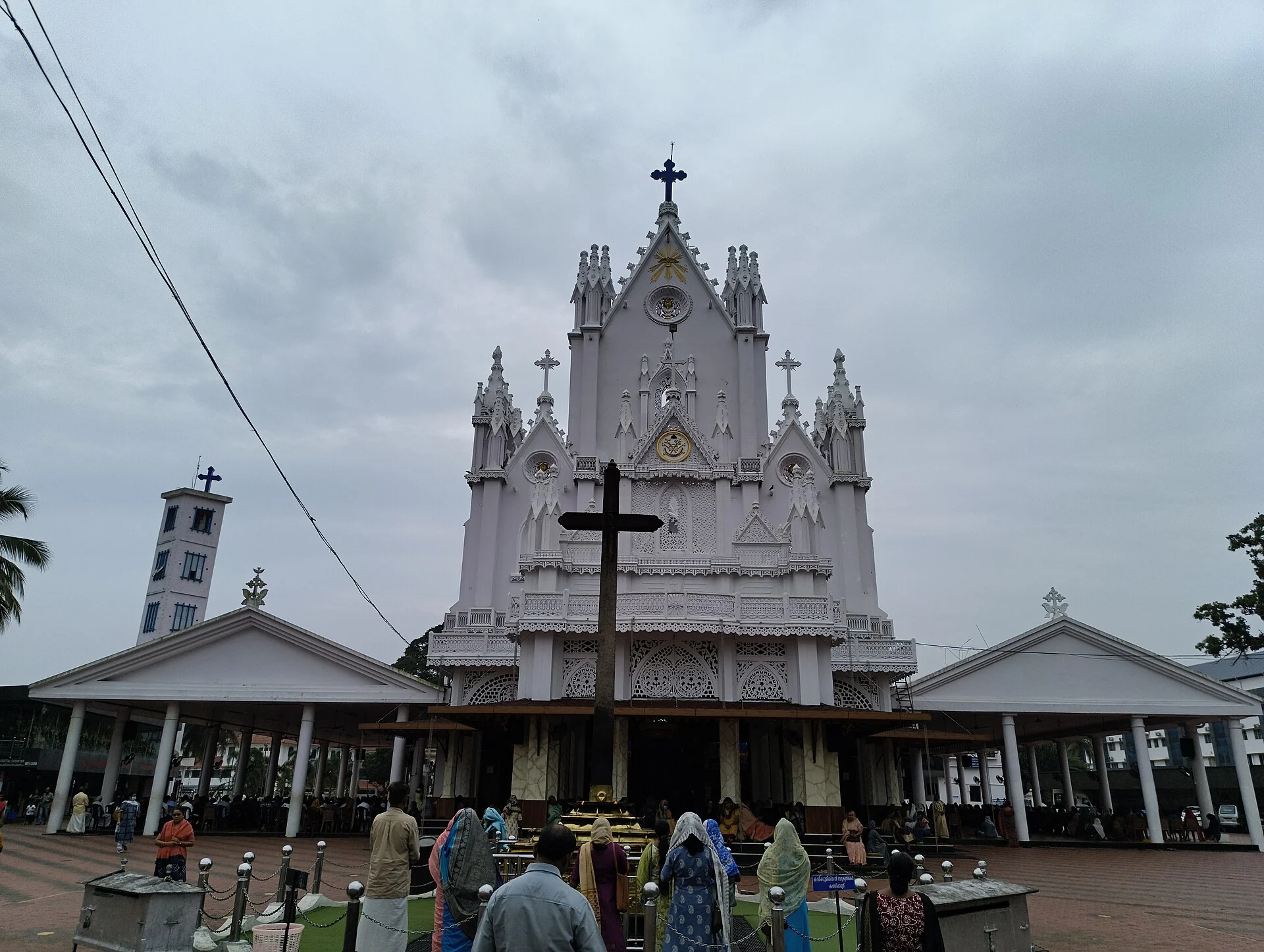
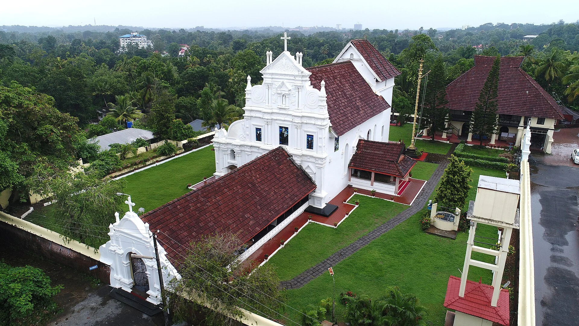
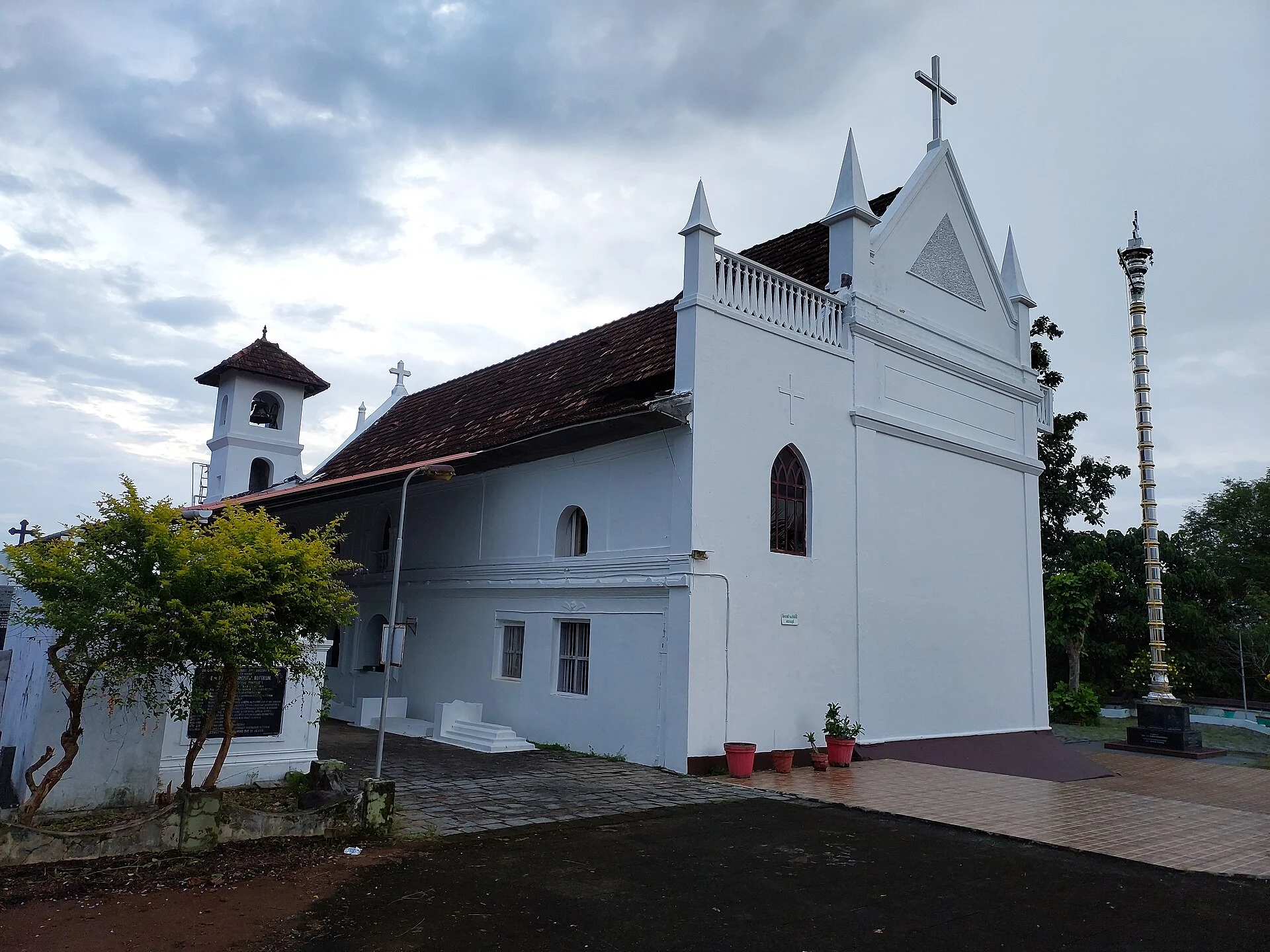
The district account places St Mary’s Church above the waterfall. That landmark helps explain the built setting around the upper ground, but it should not turn a sightseeing plan into an improvised route over wet rock. A church has its own entrance, worship schedule and community use. Visit through that entrance if adding it to the outing.
Aruvikkuzhi suits observation at a small scale. Watch where a channel narrows, where foam gathers behind a projection and where the falling water briefly disappears behind leaves. These details offer more than a quick photograph of the largest white patch. They can be enjoyed from the permitted approach without trying to reach every ledge.
The return to the road completes the picture. The cascade sits within a network of village approaches, planted land and nearby settlements. It is a compact inland stop whose interest comes from water moving through that particular setting, rather than from a long list of activities attached to it.
Look for the bridge before concentrating on the largest chute. In the wider archival view, the bridge crosses the upper part of the scene while a flight of steps rises beside the water. Those two built lines help orient the descent: the stream passes through the settlement’s crossing point and continues down the stepped rock below. They also explain why a photograph from the road can look very different from one made farther down the permitted visitor approach.
The rock is not an evenly sloping surface. Broad shelves interrupt the descent, and small projections split the stream before it gathers again. In the taller brochure photograph, a narrow white run opens into a fan over a dark, smooth face. The wider view shows how this one fan fits among other drops. Watching the water through that sequence makes the five-stage description understandable without assigning a separate invented name to every piece of rock.
Rubber trees give the surrounding land a recognisable agricultural pattern. Their cultivated setting is different from the dense riverbank growth immediately beside the falling water. The contrast is visible in the tourism photographs: ordered planting on the land beyond, irregular leaves and branches close to the stream. A visit can appreciate both without entering the working plantation or treating its tracks as a public nature trail.
For a family travelling from Kumarakom, make the difference in terrain part of the plan. The lake-side base and this inland cascade offer different kinds of movement: a cruise depends on a boat’s boarding place and departure, while the falls involve a local road arrival and uneven visitor ground. Put a fixed boat departure first in the day’s planning, then decide whether the waterfall can be visited with enough daylight for the road approach and a relaxed return.
Pallickathode also matters when arranging a pickup. Share Aruvikkuzhi Waterfalls near Pallickathode as the destination and keep the same bridge-side arrival reference for the return. Several English spellings circulate, including Aruvikuzhy and Aruvikkuzhi. The nearby settlement and district are more useful to a driver than relying on spelling alone, especially if a map search offers another waterfall in a different part of Kerala.
When the flow is modest, the attraction becomes a closer study of water and stone. The exposed shelves, little channels and reflections in shallow pockets are easier to separate visually. After prolonged rain, the same composition may become one broad moving surface. Choose the visit for the conditions available that day; the photographic contrast is interesting in itself, and reaching a stronger-looking section by leaving the permitted path is unnecessary.
The rubber-growing setting gives Aruvikkuzhi a working-landscape story alongside its water. Rubber is harvested as latex through controlled tapping of the bark, rather than by cutting the whole tree for each harvest. The Rubber Board's field guidance treats tapping skill, the condition of the panel and protection from rain as separate parts of cultivation. Understanding that work makes the plantation surrounding the cascade more than a uniform green background; the standing trees are part of a continuing agricultural cycle.
A visitor who notices a tapped panel or collection equipment from a public approach should leave it untouched. The Board describes latex collection and subsequent processing into sheets as different stages, involving sheeting and drying after collection. None of this establishes a visitor demonstration at Aruvikkuzhi. It does explain why containers, work routes and other apparently small objects beside plantation trees have a purpose, and why a private track should not be used merely to find a less obstructed waterfall photograph.
Rain connects the two subjects in different ways. It supplies the stream that makes the cascade visible, while rubber growers protect the tapping panel from wet weather as part of their work. A rainy landscape is therefore not experienced in the same way by a sightseeing family and someone tending the plantation. Looking at the falls within that agricultural setting adds a human dimension to the changing flow, without requiring an arranged farm visit or a claim about what any particular owner is doing that day.
For a short outing, let the wider view hold these elements together: the stream's stepped descent, the bridge that carries local movement and the cultivated land beyond. A close waterfall frame can isolate the white water, but the broader composition explains why Aruvikkuzhi belongs specifically to the Pallickathode countryside. The plantation is best appreciated as part of that inhabited setting, with its own work and boundaries continuing around the visitor's brief stop.