Pothundy Dam

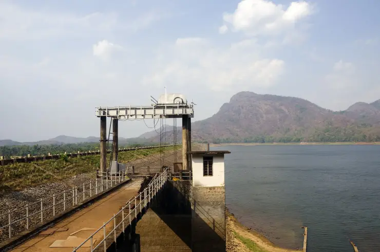
Most people meet this dam twice in a day and stop at it neither time. It stands where the Nelliyampathy road leaves the flat, 20.4 km and about twenty-five minutes below the settlement, and the figures usually given for it are 32.6 metres high and some 1,680 metres long, across two hill rivers, the Meenichiladipuzha and the Padipuzha. What makes it worth ten minutes is older than any of those numbers.

Pothundy Dam, Nelliyampathy
Practical guide

Plan Pothundy Dam

Who's going?Tailor Pothundy Dam to your trip
Typeheritage
AreaNelliyampathy
DistrictPalakkad
Best timeOctober onward, once the monsoon has…
Time neededHalf an hour to walk the garden and look…
EntryVaries — see below
Places to visit3Listed businesses10

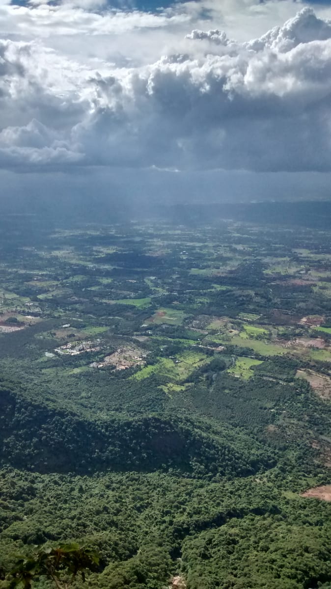
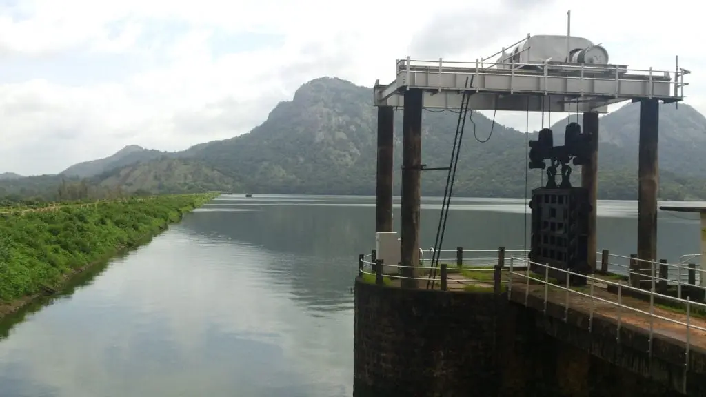
As a place to spend time it is a garden, a sheet of water and a view back up at the escarpment. There is boating on the reservoir and grounds by the dam to sit in, and it works far better as a stop on the way down the hill than on the way up, when everyone is in a hurry to get to the top. The other half of it is seen from above: from the plateau road further up, the whole reservoir appears below in the trees, and that long look down is one of the set pieces of the drive.

The story

Pothundy is the reservoir at the foot of the Nelliyampathy ghat, and almost everyone on this page will meet it the same way: as the last flat, green, ordinary-looking place before the road starts turning back on itself for twenty kilometres. It is worth more than a glance in the mirror. The wall holds back two hill rivers behind a masonry structure whose core was built in the nineteenth century, before the irrigation project it now belongs to existed, and the older engineering in it is the reason people write about the place at all.

The story of Pothundy Dam

The dam sits across the Meenichiladipuzha and the Padipuzha where they come down off the hills, and the modern figures for it are a height of about 32.6 metres and a length of some 1,680 metres. The reservoir behind it is wide, shallow-shored and ringed by wooded slopes, and the water level moves a long way between the end of the monsoon and the end of the dry season.

The part that gets repeated is the mortar. The core wall of the old structure is described as having been packed with a mixture of jaggery and quicklime rather than cement — a lime-and-sugar mortar of a kind used in Indian masonry long before Portland cement arrived. It is a genuinely interesting piece of construction history and it is worth saying plainly that it is a description of the old core, not of the whole of what stands there now.

You will also see Pothundy called one of the oldest dams in India. The claim is old, it is repeated widely, and it is hedged even in the records that carry it. What is solid is narrower and still remarkable: a nineteenth-century masonry dam that was later folded into a twentieth-century medium irrigation project, which was completed in 1971 and which is what the reservoir is operated for today.

For a visitor the site is a garden and a piece of water rather than a monument. There are grounds by the dam laid out for people to sit in, boating on the reservoir, and the view back up at the wall of hills you are about to drive into. It is the natural place to break the journey up or down, and it does the job better on the way down, when there is time.

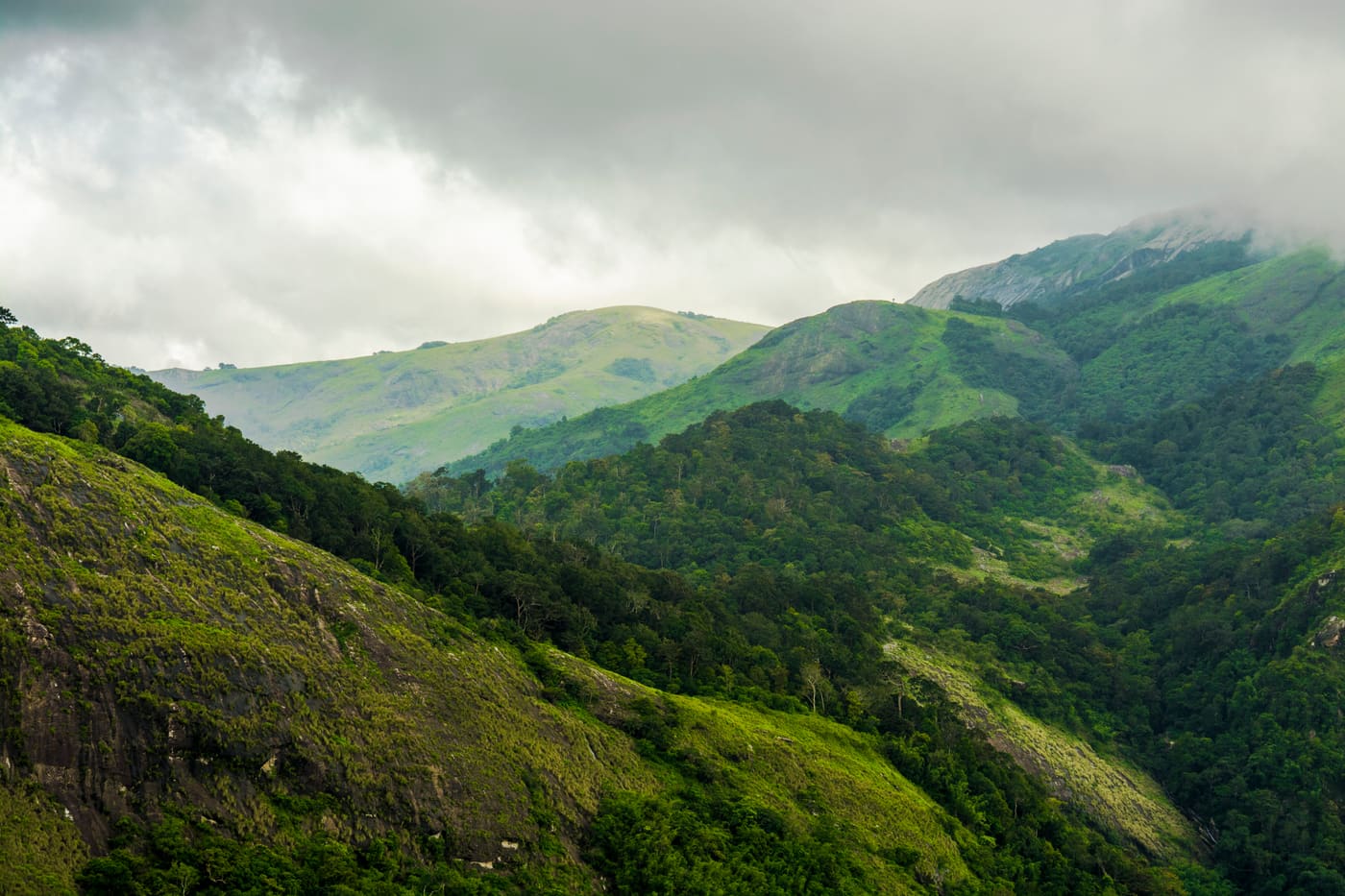
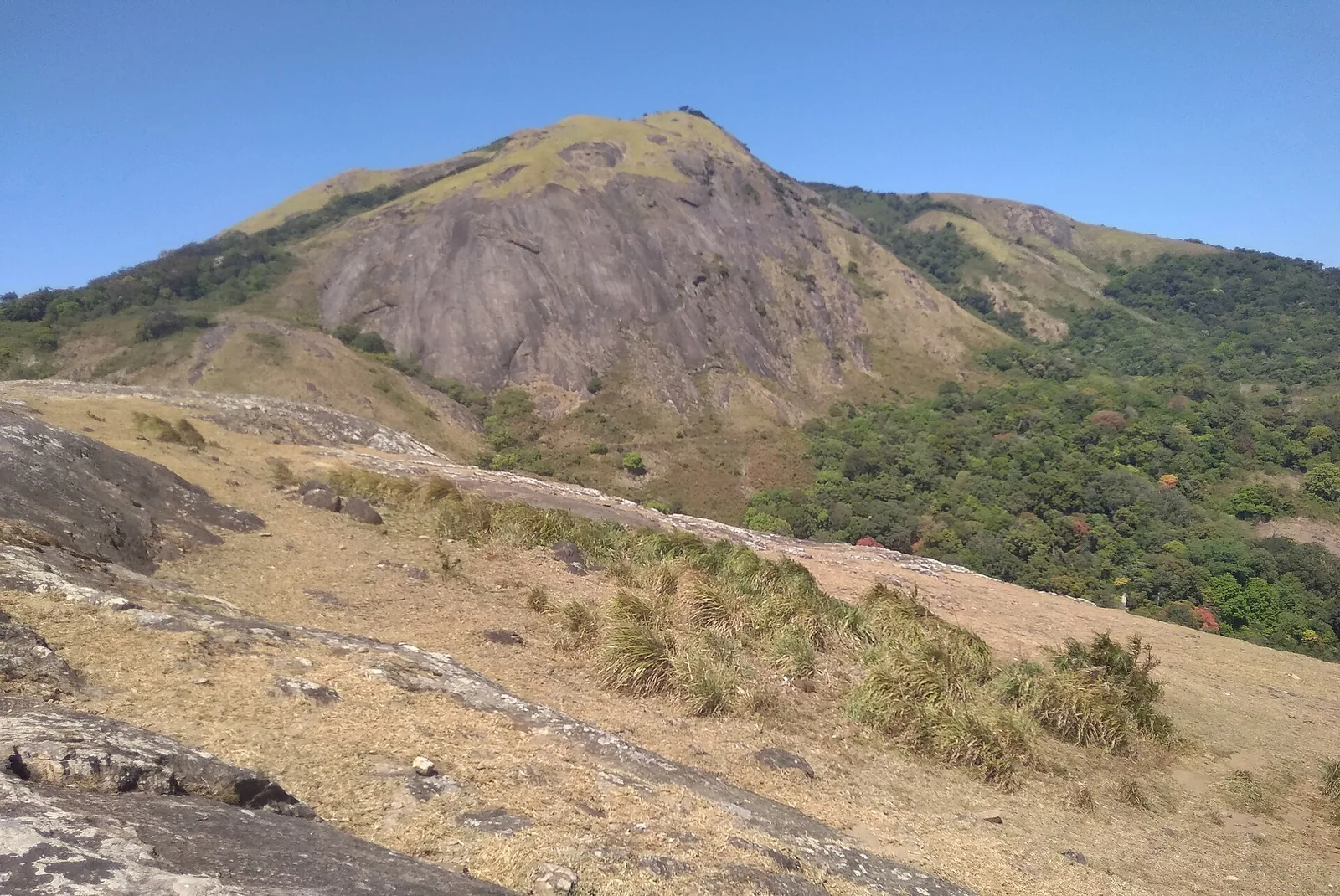
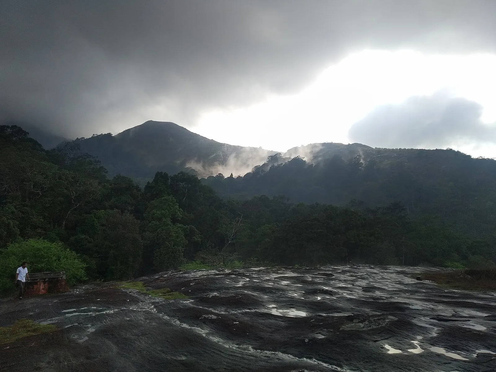
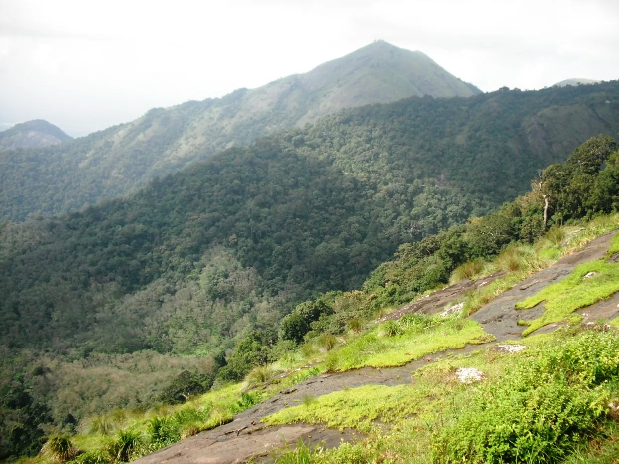
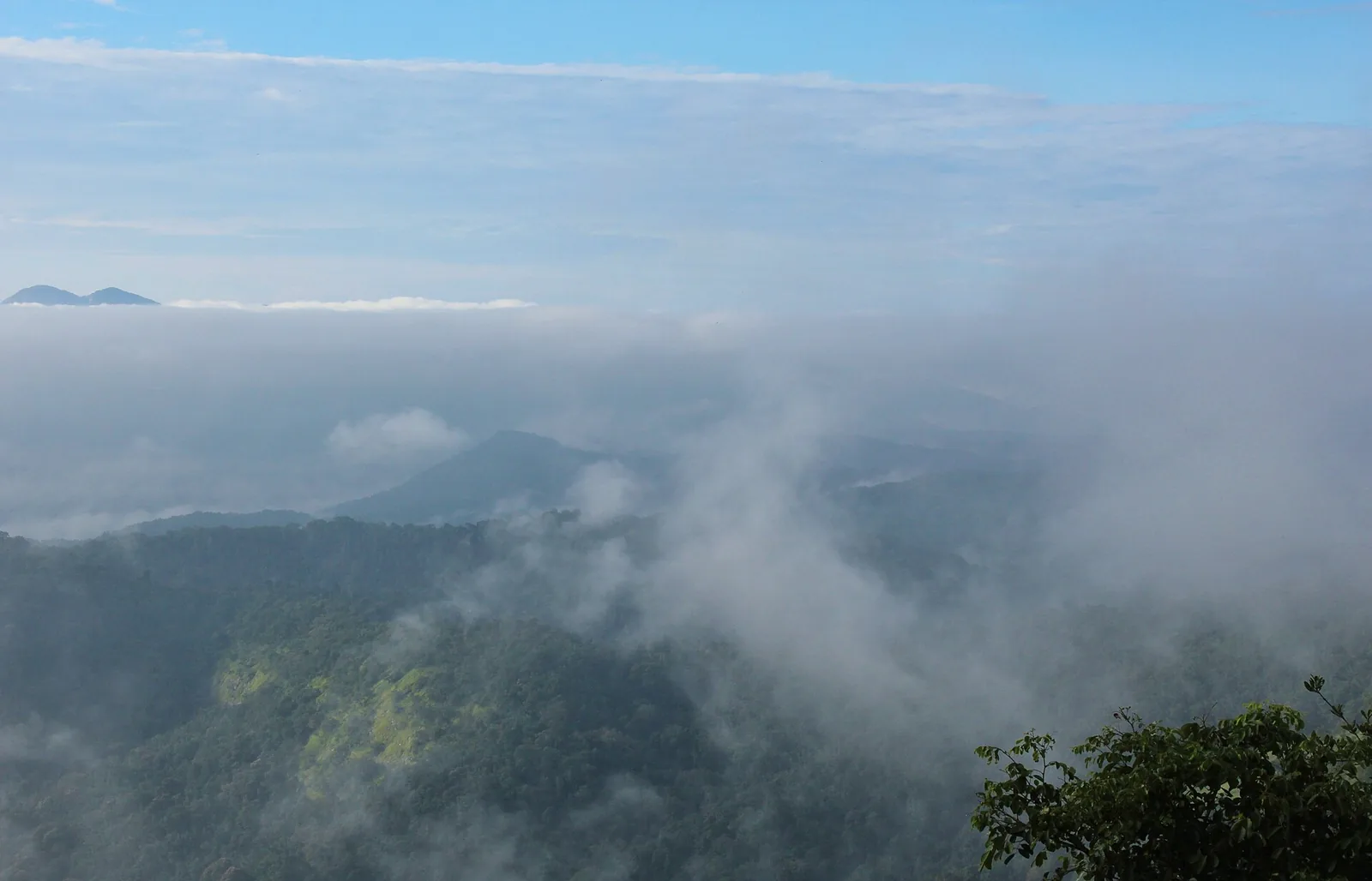
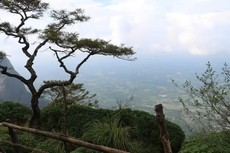
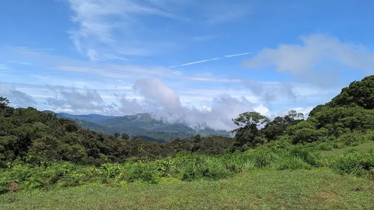
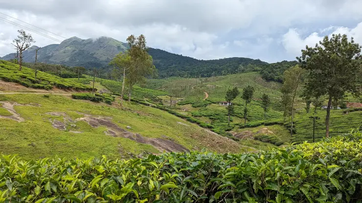
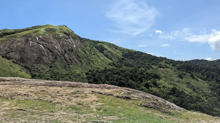
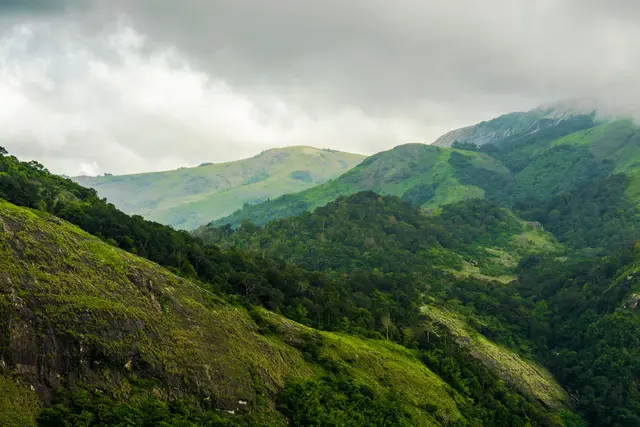
The setting is what lifts it. The reservoir lies in the gap between the plain and the escarpment, so the water has the wall of hills standing directly behind it, and in the early morning the mist sits on it. In the dry months the level falls a long way and a wide band of bare shore shows round the edge of it. From above, from the plateau road further up, the whole sheet of it appears below in the trees — that long look down at Pothundy is one of the standard sights of the drive.

Jaggery-and-lime mortar is worth understanding rather than just repeating, because it is real engineering and not folklore. Lime mortars set slowly by taking carbon dioxide back out of the air, and adding an organic material rich in sugars — jaggery, unrefined cane sugar — changes how the mix behaves: it slows the set, which lets a wall be built and worked without cracking, and it helps produce a denser, tougher and less permeable mortar than lime and sand alone. Builders across India used versions of it for centuries, in tanks, forts and temple work, and it is the reason a good deal of pre-cement masonry is still standing.

The scheme the dam serves is the other half of the story and it is the half that is actually in daily use. Pothundy is a medium irrigation project, which in Indian classification means one serving a command area of a few thousand hectares rather than the tens of thousands of a major scheme, and it waters the paddy country on the Nemmara and Kollengode side below the hills. The water in front of you is not scenery with a wall in front of it; it is a year's rice for a good many farms, and the level you find it at depends on where in that year you have arrived.

That is worth knowing before you judge the place. Come in October and the reservoir is full to the trees and the surrounds are green. Come in March and the water has been drawn a long way down, a wide pale band of bare shore stands round the edge of it, and the hills behind are brown rather than forested. Neither is the dam looking wrong; both are the dam doing its job.

The two rivers behind the wall come off the same range you are about to drive into. The Meenichiladipuzha and the Padipuzha gather on the Nelliyampathy slopes and drop steeply to the foot of the escarpment, which is why the reservoir fills so fast in the monsoon and draws down so far by the end of the dry season: it is fed by short, sharp hill catchments rather than by a long river with a slow flood. The water that runs out of it goes to the paddy on the Nemmara and Kollengode side, and the fields below the dam are the reason the whole thing exists.

The stop divides into three things and most visitors do only the first. There is the water itself, best seen early with the mist still on it. There is the garden by the dam, which is laid out for sitting in and is where families actually spend the hour. And there is boating on the reservoir, which runs in daylight and is at the mercy of the season and the weather. None of the three is remarkable on its own; taken together with the wall of hills standing behind them they make the best half-hour on the road between Palakkad and the plateau.

It is also the last practical place to prepare for the hill. Nemmara, a little back down the road, is where to fill the tank and buy anything you will need, because there is very little on the plateau: limited fuel, few places to eat, and phone signal that fails off the main road. From the dam it is 20.4 km and about twenty-five minutes of near-continuous curve to the settlement, and the road does not improve as it climbs.

The ground here belonged to the same world as the hills above it. Before the plantation leases the Nelliyampathy range was the property of the Vengunad Kovilakam of Kollengode, whose seat is on the plain a little to the east, and the paddy country this dam waters is the land that made that house. The nineteenth-century dam and the twentieth-century irrigation project are two answers, a century apart, to the same question about what to do with water coming off those hills.
Read the full history of Pothundy Dam 222 more words

History

The old dam belongs to the nineteenth century, to the era when the Nelliyampathy hills above it were still the property of the Vengunad Kovilakam of Kollengode and had not yet been leased for planting. Its masonry core, with the jaggery-and-lime mortar, is what survives from that period.

The Pothundy scheme as it is now operated is a medium irrigation project completed in 1971, taking in the older structure and serving the paddy country of the Nemmara and Kollengode side. Administratively the dam is in the Nemmara grama panchayat, in the Mattyi ward, at the bottom of the road rather than on the plateau.

Why visit

A nineteenth-century masonry dam whose core wall was packed with a jaggery-and-quicklime mortar instead of cement.

A wide reservoir held between the Palakkad plain and the wall of the Nelliyampathy escarpment, with the hills standing directly behind the water.

Gardens by the dam and boating on the reservoir, which make it the obvious place to break the ghat journey.

The long look down on the whole sheet of water from the plateau road above, which is one of the set pieces of the drive.

Mist on the water in the early morning, before the day's traffic starts up the hill.

The point where two hill rivers, the Meenichiladipuzha and the Padipuzha, are gathered into one piece of water.

What to expect

Highlights

  • A nineteenth-century masonry core packed with jaggery and quicklime instead of cement.
  • A wide reservoir gathered from two hill rivers, with the Nelliyampathy escarpment standing directly behind the water and a wide bare shore showing in the dry months.
  • Gardens by the dam and boating on the reservoir.
  • The long view down onto the whole sheet of water from the plateau road above.
  • Mist lying on the reservoir in the early morning, before the day's traffic starts up the hill.
  • The natural place to break a journey that has no other sensible stop in twenty kilometres.
Getting there

How to visit

  • Stop here on the way down rather than on the way up. It is the same dam and a completely different visit.
  • Come early if you want the mist on the water; the reservoir is at its widest and the surroundings greenest from about October.
  • Carry cash for the garden and the boats — nothing dependable is published about either charge.
  • Fuel up in Nemmara before starting the climb. There is very little on the plateau.
  • Stop again on the plateau road above for the view down onto the reservoir, which is a different picture entirely.

Distance by road

  • Coimbatore54 km
  • Kozhikode127 km
  • Kochi143 km
  • Madurai224 km
  • Mysuru251 km

Road km to Palakkad; ghat roads and traffic vary — allow extra.

Timing

Best time

October onward, once the monsoon has filled it, through to about February while the surroundings are still green and the mornings clear. The water drops steadily through the dry months. Early morning is the best hour of any day for the mist and for the light on the escarpment behind.

Visitor notes

  • The claim that this is one of the oldest dams in India is widely repeated and is hedged even by the records that carry it. The nineteenth-century masonry core and the jaggery-and-lime mortar are the solid part.
  • The scheme as now operated is a medium irrigation project completed in 1971, which took in the older structure.
  • It sits in the Nemmara grama panchayat at the bottom of the road, not on the Nelliyampathy plateau.
  • Boating and the garden are weather- and season-dependent, and neither justifies a special journey on its own.
  • The road from here to the settlement is 20.4 km of near-continuous curve. Published hairpin counts run from ten to twenty-three, which mostly reflects how people count them.
Safety

Good to know

  • It is a working irrigation dam. Keep to the public areas and off the structure.
  • The reservoir's banks shelve and the water level moves a long way through the year; take boating operators' instructions seriously.
  • The ghat road above the dam is narrow, blind in places and busy at weekends.
Official eco & forest programmes

Experiences around Pothundy Dam

These are official or public-sector eco offerings that match this place, town or forest destination. Confirm availability, permits, tariffs and reporting times with the official operator before travel.

Nelliyampathy, Pothundy Dam
trekviewpointwildlife

Nelliyampathy hills eco visit

Hill, plantation and forest viewpoint landscape above Palakkad, included in Kerala Tourism’s ecotourism inventory.

Kerala Forest Department / local tourism authorities
Official source →
Stay · eat · do · rent · see · shop

Stays, food & things to do near Pothundy Dam

Verified hotels, homestays, restaurants, experiences, sights, shops and rentals around Pothundy Dam — commission-free, with direct contact. Filter by what you need.

Nelliyampathy Resorts Restaurant Kaikatti — Resort restaurant in Nelliyampathy
Verified
Resort restaurant · Nelliyampathy
Nelliyampathy Resorts Restaurant Kaikatti

The restaurant at Nelliyampathy Resorts on Kaikatti Road, and one of very few places to eat on the plateau. It serves the resort's own cottages first, so telephone before making the drive up for a meal.

Directions Commission-freeView details
VANYA by Citrine Nelliyampathy — Resort in Nelliyampathy
Verified
Resort · Nelliyampathy
VANYA by Citrine Nelliyampathy

VANYA by Citrine resort at Ranimedu Estate, Pulayanpara, Nelliyampathy. Nelliyampathy, Nelliyampathy resort support, stay.

Directions Commission-freeView details
Hill Valley Farm House Nelliyampathy — Farm stay in Nelliyampathy
Verified
Farm stay · Nelliyampathy
Hill Valley Farm House Nelliyampathy

Hill Valley Farm House is a Nelliyampathy farm-house stay in Ravivarma Estate, useful for quieter hill stays and nature-led Palakkad itineraries. Farm stay, Nelliyampathy, Ravivarma Estate.

Directions Commission-freeView details
Nelliyampathy Resorts Kaikatti — Resort in Nelliyampathy
Verified
Resort · Nelliyampathy
Nelliyampathy Resorts Kaikatti

Resort in Nelliyampathy. Nelliyampathy Resorts, Ravivarma Estate, Kaikatti Road, Nelliampathi, Palakkad, Kerala 678508 · Rs 4000-8000 listed on source · Nelliyampathy stay, Kaikatti Road, Ravivarma Estate.

Directions Commission-freeView details
N
Nelliyampathy Resorts
Place to stay
Top pick
Hotel · Nelliyampathy
Nelliyampathy Resorts

Forest-cottage resort in the Nelliyampathy hills off Kaikatti Road. Its cottages lie inside the forest, reached by four-wheel-drive vehicles.

Directions Commission-freeView details
C
Coffee Valley Resort
Place to stay
Top pick
Hotel · Nelliyampathy
Coffee Valley Resort

Cottages nestled amid hills and a coffee estate in Nelliyampathy. It sits about 100 m from Seetharkundu viewpoint, famed for sweeping valley views.

Directions Commission-freeView details
H
Hill Valley Farm House
Place to stay
Top pick
Hotel · Nelliyampathy
Hill Valley Farm House

A family-run farmhouse stay in the Sahyadri range at Nelliyampathy. Family cottages and a budget dormitory sit amid coffee-valley plantations with mountain views.

Directions Commission-freeView details
K
Kailas Estate Trails
Place to stay
Top pick
Hotel · Nelliyampathy
Kailas Estate Trails

A boutique estate stay with ten rooms across bungalows, 4 km from Nelliyampathy town. Guests join coffee-plantation walks and birdwatching in the Western Ghats.

Directions Commission-freeView details
K
KFDC Ecotourism Nelliyampathy
Place to stay
Top pick
Hotel · Nelliyampathy
KFDC Ecotourism Nelliyampathy

The Kerala Forest Development Corporation's own forest lodge and tent stay in the Nelliyampathy hills, and the only packaged trekking here. Day and stay programmes; booked through the corporation, not at a counter on the hill.

Commission-freeView details
M
Merryland Resort Nelliyampathy
Place to stay
Verified
Direct resort contact · Nelliyampathy
Merryland Resort Nelliyampathy

Merryland Resort Nelliyampathy local contact record for hill-station overnight stays. Nelliyampathy, Direct resort contact, stay.

Directions Commission-freeView details

Book with the place itself. India’s cyber-crime coordination centre warned in April 2025 that convincing copies of hotel and pilgrimage booking sites are being pushed through sponsored search and social ads, taking payment for rooms the property never hears about. Every listing here links to the business’s own contact details and its own Google or Bing profile — we take no commission and sit in nobody’s payment path. If a booking page reached you through an ad, check the address bar against the property’s own site before you pay. Fraud can be reported on cybercrime.gov.in or on 1930.

Ranked

More ways to explore Nelliyampathy

Find food, accommodation and activities across Nelliyampathy. Browse the guides for places to eat, stay and explore along your route.

Across the whole of Nelliyampathy

Ranked guides

Top experiences around Nelliyampathy

7 more places around Nelliyampathy. Open a guide to plan the visit and onward journey.

hill stationNelliyampathy

Tea and orange-garden hill station reached through forested ghat roads.

trekNelliyampathy trek

Walking routes off the Nelliyampathy plantation plateau: an evergreen-forest footpath to the bare granite of Kesavan Para, longer forest-division routes to Hill Top, Karassuri and over the ridge to Parambikulam, and a four-wheel-drive climb to Manpara and the ruined Victoria Church.

activityGovernment Orange and Vegetable Farm

A state farm at Kaikatty growing mandarin oranges, winter vegetables and a fruit forest of fifty varieties on the Nelliyampathy plateau — the Kingdom of Cochin's Poliya estate, a farm since 1943 and an orange and vegetable farm since 1956, with a passion-fruit processing unit and a published ticket.

viewpointSeetharkundu viewpoint

The name makes the claim: Seetharkundu is traditionally held to be where Rama, Lakshmana and Sita rested during the exile. It sits five kilometres by road from the Nelliyampathy settlement and about seven from Kaikatty, and looks out over the Palakkad plain a thousand metres below — which means it is worth almost nothing in cloud and a great deal on a clear morning. Check the weather before committing the drive.

viewpointKesavan Para

A bare rock shoulder with a long view, about four and a half kilometres by road from the Nelliyampathy settlement and two from Kaikatty, reached by a short path through wet evergreen forest. It is said locally to be where Mrigaya was shot in 1989 with Mammootty, though the claim is repeated more often than it is evidenced. Para means rock, and the walk in is half the pleasure of it.

viewpointKaradipara

A rock shoulder on the Kaikatty-Nooradi road looking across an unbroken fold of evergreen forest to a conical peak — the nearest thing on the plateau to a viewpoint you can have to yourself.

viewpointRanimedu

A working plantation on the southern shoulder of the Nelliyampathy plateau with a grass-and-rock top point above it, named by Kerala Tourism as a trekking destination and reached by estate track rather than by road.

Roampedia is commission-free — own or know a stay, eatery, guide or shop near Pothundy Dam? List it and it appears here once verified.

Add a nearby business
Before you go

Pothundy Dam — at a glance

TimingsThe garden and boating operate in daylight hours and are subject to weather and to the season. The road past the dam is open through the day and is the only route on to the plateau.

Entry: Charges for the garden and for boating are set locally and are not dependably published; carry cash. Stopping at the roadside to look at the reservoir costs nothing.

Photography: Two frames. From the ground, the water with the escarpment standing behind it, shot early when the mist is still on the surface. From the plateau road above, the whole reservoir lying below in the trees — that one wants a clear morning, because the same haze that softens the hills fills the valley by the middle of the day.

Parking: There is roadside and garden-side parking at the dam, and it is generally easy except on holiday weekends when the whole Nelliyampathy road is busy.

Getting here

How to reach Pothundy Dam

  • ✈︎ By air Cochin International Airport is about 120 km by road; Coimbatore is the alternative.
  • 🚆︎ By train Palakkad Junction is the practical railhead. Kerala Tourism gives Thrissur at 77 km and Shoranur Junction at 80 km from Nelliyampathy.
  • 🚗︎ By road Pothundy is on the Nenmara–Nelliyampathy road at the foot of the ghat. From the Nelliyampathy settlement it is 20.4 km and about twenty-five minutes down; from Palakkad it is reached through Nemmara. Everything going up or coming down the plateau passes it.
  • 🚌︎ By bus Buses between Nenmara and Nelliyampathy pass the dam, which makes this the most easily reached point of the whole route without a vehicle.
Getting back

If you are travelling by bus or ferry, check the return service with the operator before setting out. Leave time to reach the stop or jetty after your visit.

Ask at the bus stand for the time of the last service back, not the next one. If you miss it, an auto or app cab is the fallback — agree the fare before you get in.

Do

Things to do

  • Break the ghat journey here rather than at the top, and look back up at the escarpment you are about to drive into.
  • Walk the gardens by the dam and out along the water's edge.
  • Go boating on the reservoir when it is running.
  • Come early enough to see the mist lying on the water before the day's traffic starts up the hill.
  • Stop again on the plateau road above for the long view down onto the whole reservoir in the trees.
Plan

Good to know

  • Do this on the way down rather than on the way up. Coming down you have time; going up, everybody wants to get to the top.
  • Carry cash for the garden and the boats.
  • The water is at its widest and the surroundings at their greenest from about October, after the monsoon.
  • Fuel up in Nemmara before you start the climb. There is very little on the plateau.
  • It is a working irrigation dam. Keep to the public areas and do not climb on the structure.
  • The garden and the dam surroundings are signed as a plastic-free zone. Take bottles and wrappers back out with you.
Getting around Pothundy Dam

If you need step-free access, contact the site before travelling. Ask about a level entrance, steps along the route, the nearest drop-off point, seating and accessible toilets.

Good to know

Pothundy Dam — frequently asked

Where is Pothundy in relation to Nelliyampathy?

At the bottom of the ghat road, 20.4 km and about twenty-five minutes below the Nelliyampathy settlement. It is the last stop before the climb and the first after the descent. Administratively it sits in the Nemmara grama panchayat rather than in Nelliyampathy.

Is it really one of the oldest dams in India?

That claim is widely repeated and it is hedged even by the sources that carry it. What is well supported is that the masonry core is nineteenth-century work, built with a jaggery-and-quicklime mortar rather than cement, and that it was later taken into a medium irrigation project completed in 1971.

What is the jaggery-and-lime mortar?

A traditional Indian masonry mortar in which jaggery — unrefined cane sugar — is mixed with quicklime. It is described as the packing of the old dam's core wall. It predates the use of Portland cement in this kind of construction and it is the single most repeated fact about the place.

How big is the dam?

The figures usually given are a height of about 32.6 metres and a length of about 1,680 metres, across the Meenichiladipuzha and the Padipuzha.

Can you go boating?

Boating runs on the reservoir and there are gardens by the dam to sit in. Both are weather- and season-dependent, and neither is worth a special journey on its own — this is a stop on the way to or from the hills.

When is the best time?

The reservoir is fullest and greenest just after the monsoon, from about October, and the water drops through the dry months. Early morning is when the mist sits on it. Any time of year, it is better on the way down the hill than on the way up, when everybody is in a hurry.

Is there an entry fee?

Charges for the garden and for boating are set locally and change; nothing dependable is published, so carry cash and ask at the gate. There is no charge for stopping to look at the water.

Why does the drive up take so long from here?

Because there is no other way on to the plateau. It is 20.4 km from the dam to the settlement, on a road that reverses on itself about a dozen times and curves a great deal more besides. Published hairpin counts for it run from ten to twenty-three, which tells you mostly that people count them differently.

Why would anyone put sugar in a wall?

Because it works. Lime mortars set slowly by absorbing carbon dioxide from the air, and adding a sugar-rich organic material such as jaggery slows the set further — which lets a wall be built and worked without cracking — and yields a denser, tougher, less permeable mortar than lime and sand alone. Versions of it were used across India for centuries in tanks, forts and temples.

What does 'medium irrigation project' mean?

An Indian classification based on the area a scheme waters: a medium project serves a command area of a few thousand hectares, against the tens of thousands of a major one. Pothundy waters the paddy country on the Nemmara and Kollengode side below the hills.

Why does the reservoir look so different in photographs?

Because it is a working irrigation reservoir and the level moves a long way through the year. In October it is full to the trees; by March the water is well down and a wide band of bare shore shows round the edge. Both are normal.

Is it worth a special trip from Palakkad?

On its own, no. It is a very good stop on the way to or from Nelliyampathy and a poor destination in itself, and it is best on the way down when you are not in a hurry to get to the top.

Where do the two rivers come from?

The Meenichiladipuzha and the Padipuzha both gather on the Nelliyampathy slopes above and drop steeply to the foot of the escarpment. Short, sharp hill catchments rather than a long slow river, which is why the reservoir fills fast in the monsoon and draws down a long way by the end of the dry months.

What is actually there to do?

Three things: look at the water, ideally early with the mist still on it; sit in the garden by the dam, which is what families do; and take a boat out when boating is running. None is remarkable alone, and together with the hills standing behind them they make the best half-hour on the road up.

Where should I fill up before the hill?

Nemmara, a little back down the road. There is very little on the plateau — limited fuel, few places to eat, and phone signal that fails once you are off the main road. From the dam it is 20.4 km and about twenty-five minutes of almost continuous curve to the settlement.

Who owned this land?

Before the plantation leases the Nelliyampathy range belonged to the Vengunad Kovilakam of Kollengode, whose seat is out on the plain to the east, and the paddy country this dam waters is the land that made that house.

Is the garden worth the stop with children?

It is the one place on this road laid out for sitting rather than looking. It is level, it is by the water, and it breaks a drive that otherwise has twenty kilometres of hairpins at one end of it and no other stop at all.

When is the best time to visit Pothundy Dam?

October onward, once the monsoon has filled it, through to about February while the surroundings are still green and the mornings clear. The water drops steadily through the dry months. Early morning is the best hour of any day for the mist and for the light on the escarpment behind.

What are the entry fee and timings at Pothundy Dam?

Entry: Charges for the garden and for boating are set locally and are not dependably published; carry cash. Stopping at the roadside to look at the reservoir costs nothing. Timings: The garden and boating operate in daylight hours and are subject to weather and to the season. The road past the dam is open through the day and is the only route on to the plateau.

How do I reach Pothundy Dam?

Stop here on the way down rather than on the way up. It is the same dam and a completely different visit. Come early if you want the mist on the water; the reservoir is at its widest and the surroundings greenest from about October. Carry cash for the garden and the boats — nothing dependable is published about either charge. Fuel up in Nemmara before starting the climb. There is very little on the plateau. Stop again on the plateau road above for the view down onto the reservoir, which is a different picture entirely.

How much time do I need for Pothundy Dam?

Half an hour to walk the garden and look at the water. An hour or more if you take a boat out.

What should I know before visiting Pothundy Dam?

It is a working irrigation dam. Keep to the public areas and off the structure. The reservoir's banks shelve and the water level moves a long way through the year; take boating operators' instructions seriously. The ghat road above the dam is narrow, blind in places and busy at weekends.

Read before you go

Pothundy Dam guides, stories & itineraries

Stories & history of Pothundy Dam

Written about Pothundy Dam itself — its history, its legends and the arguments about them.

Around Nelliyampathy

These guides explore Nelliyampathy and the surrounding area. Choose a visit that fits your interests, allowing separately for travel between stops.

Kerala-wide guides & itineraries

Route-level itineraries and practical guides for the rest of Kerala.

See all 33 Palakkad guides & stories →

Image credits

Photographs: Zuhairali (CC BY-SA 3.0), Rangan Datta Wiki (CC BY-SA 4.0), WikiSantaClaus (CC BY 4.0), Prof tpms (CC BY-SA 4.0), Nandukrishna_t_ajith (CC BY-SA 3.0), Manoj Kunnambath (CC BY-SA 4.0), Shagil Kannur (CC BY-SA 4.0). Wikimedia Commons.