Pothundy is the reservoir at the foot of the Nelliyampathy ghat, and almost everyone on this page will meet it the same way: as the last flat, green, ordinary-looking place before the road starts turning back on itself for twenty kilometres. It is worth more than a glance in the mirror. The wall holds back two hill rivers behind a masonry structure whose core was built in the nineteenth century, before the irrigation project it now belongs to existed, and the older engineering in it is the reason people write about the place at all.
The story of Pothundy Dam
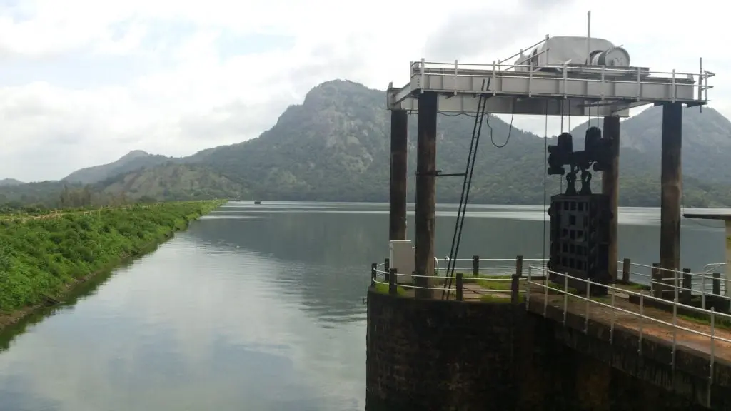
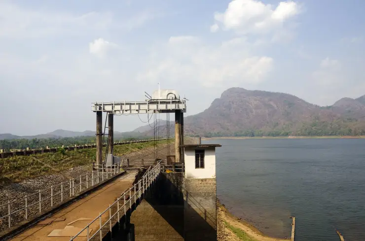
The dam sits across the Meenichiladipuzha and the Padipuzha where they come down off the hills, and the modern figures for it are a height of about 32.6 metres and a length of some 1,680 metres. The reservoir behind it is wide, shallow-shored and ringed by wooded slopes, and the water level moves a long way between the end of the monsoon and the end of the dry season.
The part that gets repeated is the mortar. The core wall of the old structure is described as having been packed with a mixture of jaggery and quicklime rather than cement — a lime-and-sugar mortar of a kind used in Indian masonry long before Portland cement arrived. It is a genuinely interesting piece of construction history and it is worth saying plainly that it is a description of the old core, not of the whole of what stands there now.
You will also see Pothundy called one of the oldest dams in India. The claim is old, it is repeated widely, and it is hedged even in the records that carry it. What is solid is narrower and still remarkable: a nineteenth-century masonry dam that was later folded into a twentieth-century medium irrigation project, which was completed in 1971 and which is what the reservoir is operated for today.
For a visitor the site is a garden and a piece of water rather than a monument. There are grounds by the dam laid out for people to sit in, boating on the reservoir, and the view back up at the wall of hills you are about to drive into. It is the natural place to break the journey up or down, and it does the job better on the way down, when there is time.
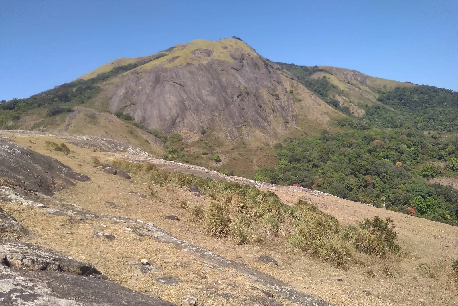
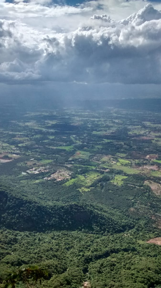
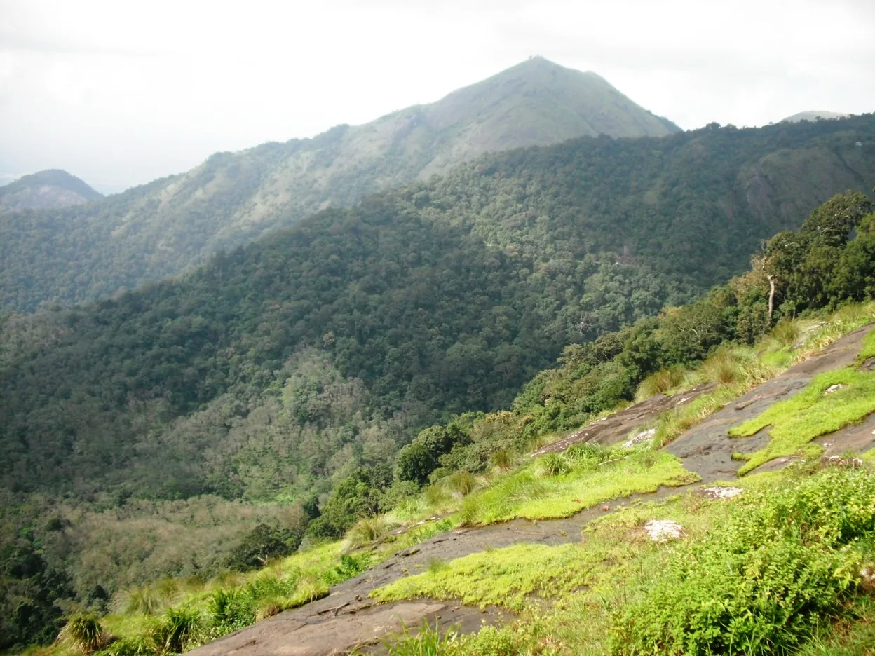
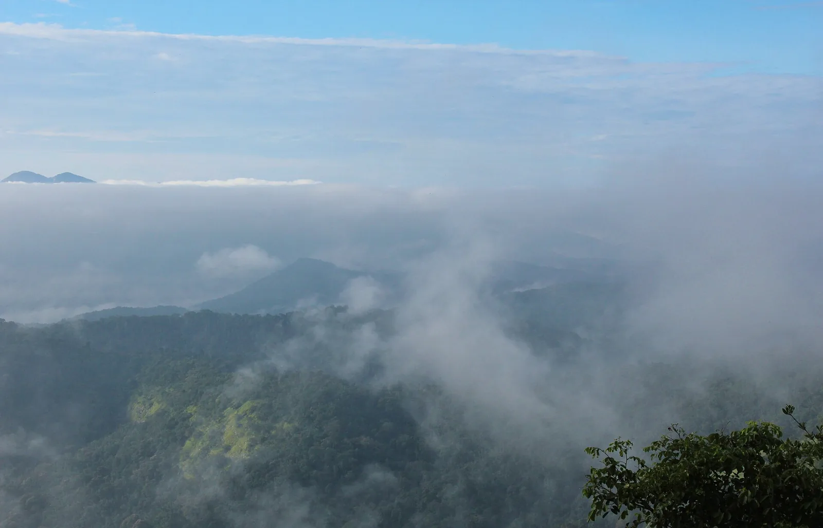
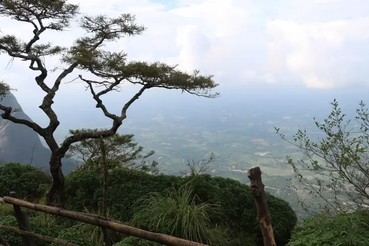
The setting is what lifts it. The reservoir lies in the gap between the plain and the escarpment, so the water has the wall of hills standing directly behind it, and in the early morning the mist sits on it. In the dry months the level falls a long way and a wide band of bare shore shows round the edge of it. From above, from the plateau road further up, the whole sheet of it appears below in the trees — that long look down at Pothundy is one of the standard sights of the drive.
Jaggery-and-lime mortar is worth understanding rather than just repeating, because it is real engineering and not folklore. Lime mortars set slowly by taking carbon dioxide back out of the air, and adding an organic material rich in sugars — jaggery, unrefined cane sugar — changes how the mix behaves: it slows the set, which lets a wall be built and worked without cracking, and it helps produce a denser, tougher and less permeable mortar than lime and sand alone. Builders across India used versions of it for centuries, in tanks, forts and temple work, and it is the reason a good deal of pre-cement masonry is still standing.
The scheme the dam serves is the other half of the story and it is the half that is actually in daily use. Pothundy is a medium irrigation project, which in Indian classification means one serving a command area of a few thousand hectares rather than the tens of thousands of a major scheme, and it waters the paddy country on the Nemmara and Kollengode side below the hills. The water in front of you is not scenery with a wall in front of it; it is a year's rice for a good many farms, and the level you find it at depends on where in that year you have arrived.
That is worth knowing before you judge the place. Come in October and the reservoir is full to the trees and the surrounds are green. Come in March and the water has been drawn a long way down, a wide pale band of bare shore stands round the edge of it, and the hills behind are brown rather than forested. Neither is the dam looking wrong; both are the dam doing its job.
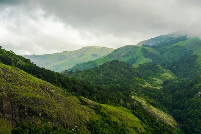
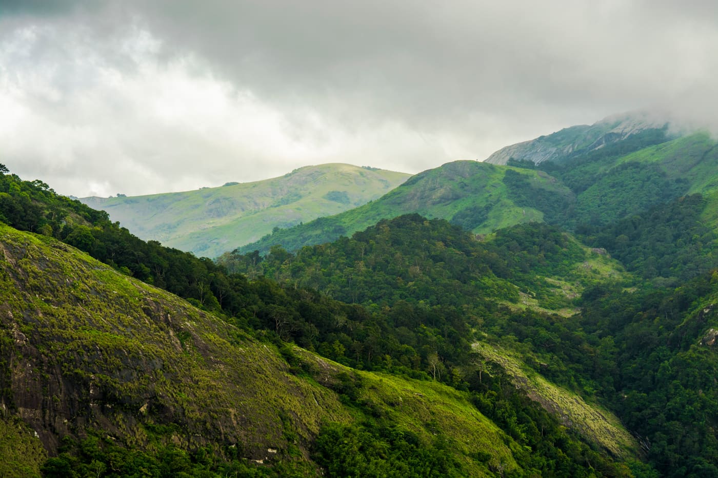
The two rivers behind the wall come off the same range you are about to drive into. The Meenichiladipuzha and the Padipuzha gather on the Nelliyampathy slopes and drop steeply to the foot of the escarpment, which is why the reservoir fills so fast in the monsoon and draws down so far by the end of the dry season: it is fed by short, sharp hill catchments rather than by a long river with a slow flood. The water that runs out of it goes to the paddy on the Nemmara and Kollengode side, and the fields below the dam are the reason the whole thing exists.
The stop divides into three things and most visitors do only the first. There is the water itself, best seen early with the mist still on it. There is the garden by the dam, which is laid out for sitting in and is where families actually spend the hour. And there is boating on the reservoir, which runs in daylight and is at the mercy of the season and the weather. None of the three is remarkable on its own; taken together with the wall of hills standing behind them they make the best half-hour on the road between Palakkad and the plateau.
It is also the last practical place to prepare for the hill. Nemmara, a little back down the road, is where to fill the tank and buy anything you will need, because there is very little on the plateau: limited fuel, few places to eat, and phone signal that fails off the main road. From the dam it is 20.4 km and about twenty-five minutes of near-continuous curve to the settlement, and the road does not improve as it climbs.
The ground here belonged to the same world as the hills above it. Before the plantation leases the Nelliyampathy range was the property of the Vengunad Kovilakam of Kollengode, whose seat is on the plain a little to the east, and the paddy country this dam waters is the land that made that house. The nineteenth-century dam and the twentieth-century irrigation project are two answers, a century apart, to the same question about what to do with water coming off those hills.