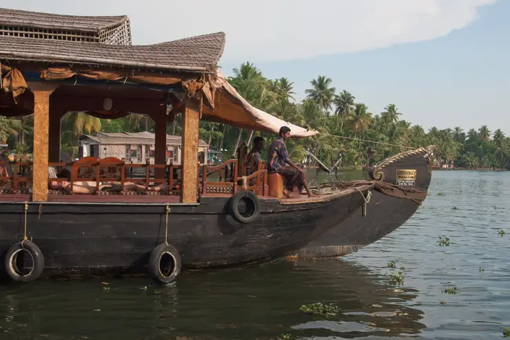
The coir town at the north end of Alappuzha district, on the strip of coconut country between the sea and the Vembanad backwater. Cherthala taluk was once Karappuram — a small kingdom of two principalities that the Dutch signed treaties with, that Cochin held only loosely, and that Travancore absorbed some time in the middle of the eighteenth century. What it makes today is rope.
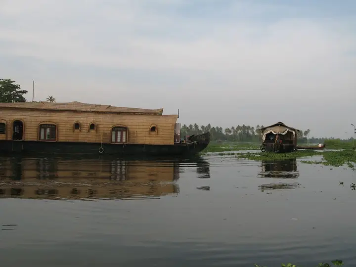
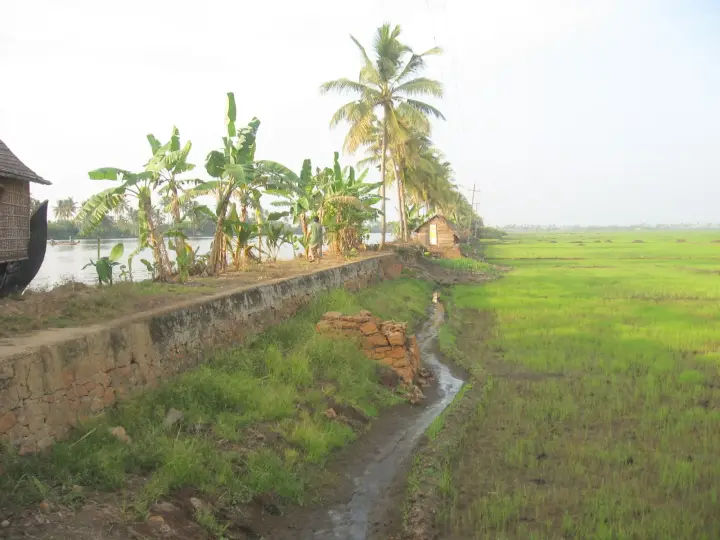
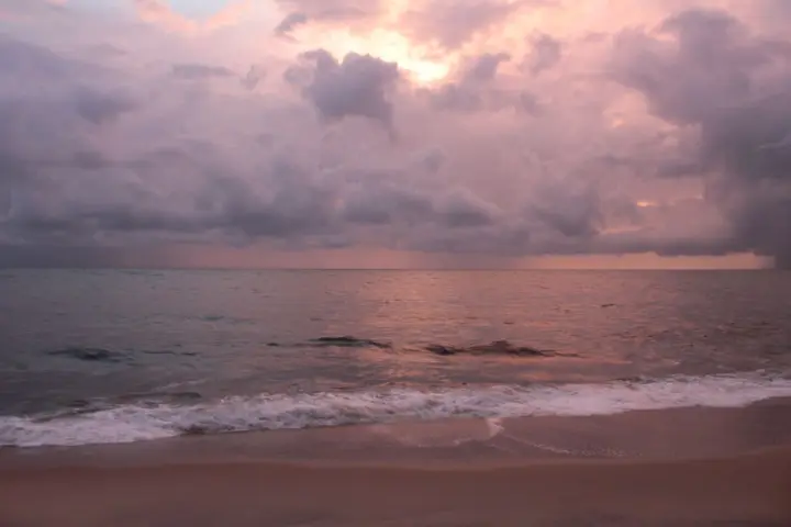
Cherthala sits on the narrow coastal shelf north of Alappuzha, on the NH-66 road between Alappuzha and Kochi, with the Arabian Sea a few kilometres west and the Vembanad backwater a few kilometres east. It is a taluk headquarters in a landscape that is almost entirely coconut: sandy, low, densely planted, threaded with canals and lagoons. That geography is not scenery here. It is the reason for everything the place has ever done.
Before it was a taluk it was a kingdom, or something close to one. In the sixteenth century this tract was Karappuram, and it comprised two principalities — recorded as Moothedath and Iledath — which together cover roughly what is now Cherthala taluk. Karappuram is one of those names that has almost entirely dropped out of everyday use while remaining the correct historical name for the ground you are standing on, and it is still attached to the local coconut trade.
Karappuram mattered to Europeans because of what grew here. The Dutch signed treaties with the rajas of Purakkad, Kayamkulam and Karappuram, and built factories and warehouses through this district to store pepper and ginger. A small coastal principality with a harbour-facing hinterland and a spice trade was exactly the kind of counter the Dutch East India Company built its Malabar position on.
It ended when Marthanda Varma of Travancore turned his attention north. The annexation of Kayamkulam, Ambalappuzha, Thekkumkur, Vadakkumkur and Karappuram to Travancore is described by the district's own history as the thing that set the Dutch back decisively — and this is the same expansion, and the same adversary, as the war that produced the Battle of Colachel. Exactly when Karappuram itself changed hands is genuinely unsettled, and we set out below why we are not going to pretend otherwise.
The second thing to know about Cherthala is coir, and it is the thing that actually shapes the town. Coir is the fibre of the coconut husk, retted in backwater mud, beaten out, spun into yarn and woven into mats, matting and rope. The first modern factory for coir mats and mattings was set up in 1859 at Alappuzha, just down the coast, and the industry spread through this coconut belt from there. Cherthala became one of its centres, and remains one: coir is the traditional and most widespread manufacture in the taluk, and Karappuram coir has its own reputation.
This is genuinely visible if you drive here rather than through. Husks soaking in the shallows; yarn drying in long ochre skeins along walls and fences; small sheds with a spinning wheel and two people working it; the particular smell of retted husk near the water. It is not staged for visitors — Kerala has a dedicated coir museum at Alappuzha for that — but it is the ordinary industry of the place, and it is much more interesting seen at this scale than in a display case.
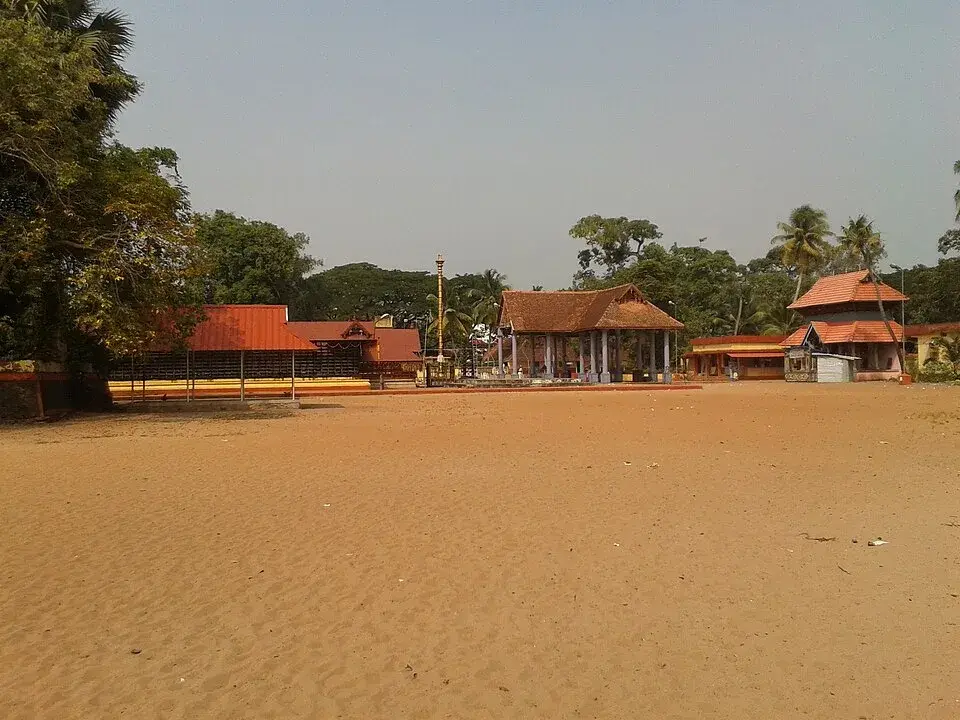
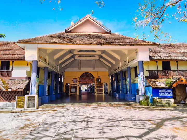
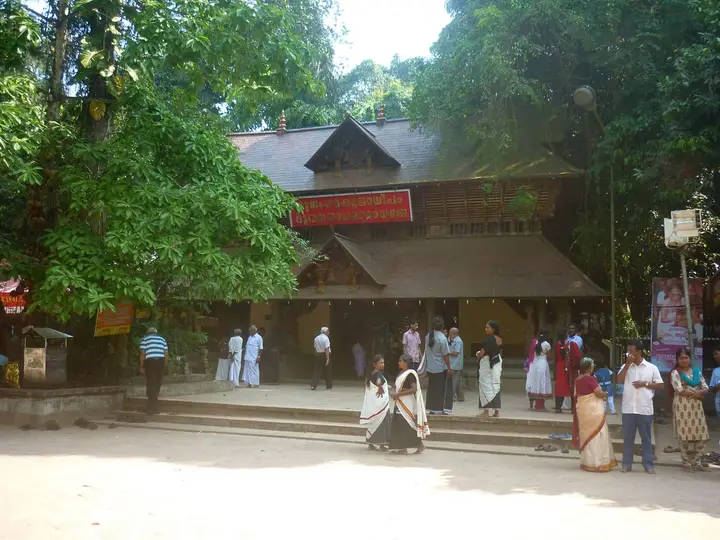
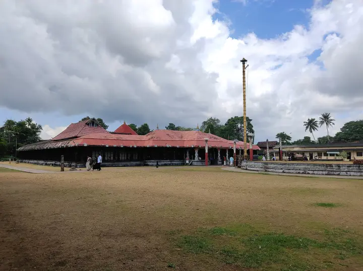
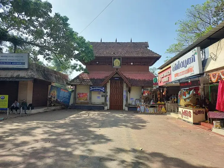
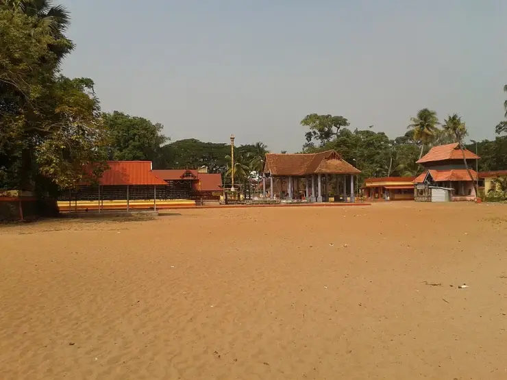
The town itself is a working junction: the temple and its ground at the centre, a bus stand, the highway running through, shops and small workshops. The reason most visitors know the name is the Cherthala Sree Karthyayani Devi Temple, whose eight-day Pooram in May-June is one of the big festivals of northern Alappuzha, and whose founding legend is where the town's name comes from. We tell that story properly on the temple's own page rather than repeating it here.
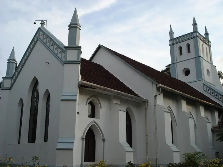
Around Cherthala the coast opens out. Arthunkal, with its great pilgrimage church, is a short way west; Mararikulam's beach is south; Thanneermukkom, where the bund crosses the Vembanad, is east across the taluk. Cherthala is the road junction and the market for all of it, which is a fair description of what it has been for four hundred years.
It is not, in honesty, a sightseeing town. It has no fort, no palace and no preserved quarter. What it has is a name that used to belong to a kingdom, a landscape entirely given over to one tree, and an industry that turns that tree's waste into rope — and those three things are the same story told in three ways.
Legend & myth
The first thing we want to be straight about is a date we cannot give you. Karappuram passed from Cochin's orbit to Travancore in the middle of the eighteenth century, and the year depends entirely on which source you open. Some give 1753. Some give 1755, and attach it to a named campaign — Ramayyan Dalawa annexing Karappuram at the instance of Marthanda Varma. Some say the area remained part of the Kingdom of Cochin until 1762. And the Alappuzha district administration's own history page, which lists the annexation of Kayamkulam, Ambalappuzha, Thekkumkur, Vadakkumkur and Karappuram in one breath, gives no year for any of them.
There is a decent chance these are not really in conflict. A tributary territory changing hands in this period was rarely one event with one date: there is the campaign, there is the submission, there is the formal settlement with the displaced overlord, and there is the administrative absorption, and they can be years apart. That is very likely what is happening here, and it is the same shape as the reader who meets two different years for one transfer and assumes somebody is wrong. But we have not found the source that lays the sequence out, so we are not going to manufacture one. Treat the transfer as a process of the 1750s and be suspicious of anything that states a single year without saying what it is dating.
This matters to us specifically because we publish a year elsewhere. Our own guide to the Thanneermukkom bund says Karappuram and Alangad passed to Travancore in 1753, and that sentence was itself a correction of a worse one — an earlier version had Travancore attacking in 1753 and annexing Karappuram under the Treaty of Mavelikkara, which was wrong three separate ways. The Treaty of Mavelikkara, signed at Mavelikkara on 15 August 1753, was an agreement with the Dutch about non-intervention, alliances, a pepper quota and arms; it did not concern Karappuram. The battle at Purakkad is 1755 and was fought against the Zamorin. Those corrections stand. The residual 1753 does not stand as firmly as we would like, and rather than quietly change it we have flagged it in the code and told you here.
The second caution is the equation of Karappuram with Cherthala. It is close enough to be useful and loose enough to mislead. Karappuram is described as comprising two principalities, Moothedath and Iledath, which together correspond to the present Cherthala taluk — a taluk, not a town. So Karappuram is not another name for Cherthala town; it is the old name for the district-sized block of coconut country the town administers. If you see Karappuram used as a synonym for the town, that is a compression.
The third is about coir, where the famous date belongs to somewhere else. 1859 is the year the first modern factory for coir mats and matting was established — at Alappuzha, not at Cherthala. Cherthala is a major centre of the industry that grew out of that, and coir here is much older than any factory, being a household and village craft long before it was a manufacture. But if you read that coir began at Cherthala in 1859, that is the Alappuzha factory being quietly relocated up the coast.
The fourth is a gentle expectation-setting note. Cherthala is a taluk town on a national highway, and the coir you can see is working coir — husks in a backwater, yarn on a fence, a shed with a wheel — not an exhibit. Visitors who arrive expecting a curated craft village will find the International Coir Museum at Alappuzha is the place built for that purpose. What Cherthala offers is the unedited version, which requires you to look out of the car window rather than buy a ticket.
The fifth belongs to the temple rather than the town, but it is the thing most people arrive knowing and it is worth pointing in the right direction. The name Cherthala is traditionally derived from cher, mud, and thala, head, from the story of the goddess found with her head in a muddy pond and raised from it by Vilwamangalam Swamiyar. That legend, the temple it founded and the eight-day Pooram that follows from it are set out on the temple's own page. It is a founding legend, told as one.
More about Cherthala
History
In the sixteenth century the tract corresponding to the present Cherthala taluk was Karappuram, comprising two principalities recorded as Moothedath and Iledath. It lay in the belt of small coastal polities between Cochin and the Travancore lands to the south, and like its neighbours it was drawn into the European spice trade: the Dutch concluded treaties with the rajas of Purakkad, Kayamkulam and Karappuram, and built factories and warehouses across this district for pepper and ginger.
Karappuram was a tributary of Cochin rather than a fully independent kingdom, and for a long period was held semi-autonomously by local chiefs under only nominal Cochin authority. That arrangement ended during the northward expansion of Travancore under Marthanda Varma, whose annexation of Kayamkulam, Ambalappuzha, Thekkumkur, Vadakkumkur and Karappuram is described in the district's own history as the decisive setback to Dutch influence here — part of the same confrontation that produced the Battle of Colachel.
The year of the Karappuram transfer is not settled in the sources. 1753 is commonly given; 1755 is given for an annexation carried out by Ramayyan Dalawa at Marthanda Varma's instance, after which Kumbalam became the southern boundary of Cochin; and some accounts have the area remaining part of Cochin until 1762. The Alappuzha district administration gives no date. These may record successive stages of one process rather than rival claims, but no source we have found sets the sequence out, and this page does not choose between them.
Under Travancore the area became Cherthala taluk, and it is today the northernmost taluk of Alappuzha district. Its economy has been shaped throughout by the coconut: the first modern factory for coir mats and mattings was established in 1859 at Alappuzha, and the industry spread through the surrounding coconut belt, with coir becoming the traditional and most widespread manufacture of Cherthala. Karappuram coir and coir products retain a distinct reputation, and the old name survives commercially long after it left the map.
The town's religious centre is the Sree Karthyayani Devi Temple, whose annual eight-day Pooram in May-June is among the major festivals of northern Alappuzha, and from whose foundation legend the name Cherthala is traditionally derived.
Why visit
To see working coir country rather than a coir exhibit — husks retting in the backwater shallows, yarn drying in ochre skeins along walls, small spinning sheds — in the taluk where it is the traditional industry.
For the Cherthala Sree Karthyayani Devi Temple and, if the timing suits, its eight-day Pooram in May-June, one of northern Alappuzha's big festivals.
To stand in what was Karappuram — a two-principality statelet the Dutch signed treaties with and Travancore absorbed in the 1750s — a kingdom that has left its name on the coconut trade and almost nothing else.
As the natural road base for this stretch of coast: Arthunkal's pilgrimage church to the west, Mararikulam's beach to the south, and the Thanneermukkom bund across the taluk to the east.
For the landscape itself — a low, sandy, wholly coconut-planted shelf between the Arabian Sea and Vembanad, threaded with canals, which is unlike either the beach strip or the paddy backwaters it sits between.
Because it is on the NH-66 between Kochi and Alappuzha and costs almost nothing to stop in, which is the honest case for a working taluk town rather than a destination.