What to expect
Highlights
- Hill trek and viewpoint in eastern Kannur.
- Pairs with Kudiyanmala/Kappimala routes, Aralam and Kannur city stays.
- Services here come down to homestays, drivers, guides and food stops.
Paithalmala is Kannur district's highland trek and viewpoint near the Karnataka border, offering grassland, forest-edge paths and cool ridge views. It is the northern Malabar contrast to Kannur's beaches and forts.
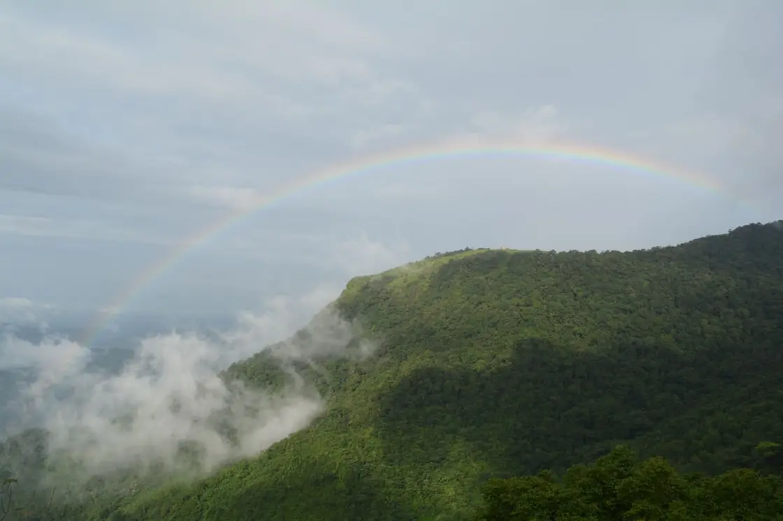
Plan it as a weather-sensitive hill trek with limited facilities. Road condition, leeches/rain, mist and local access rules should be checked before departure.
Paithalmala — also spelt Paithal Mala or Pythal Mala — is the highest peak in Kannur district and one of the loftiest points in northern Kerala, rising to roughly 1,372 m on the Kerala–Karnataka border in the Western Ghats. A forest trek from the base near Kudiyanmala — about 5 km per Kerala Tourism's ecotourism page, 6 km in other listings — climbs through shola woodland into open grasslands, delivering sweeping panoramas over the Kannur plains on one side and the Coorg (Kodagu) hills of Karnataka on the other. Cool, misty and green, it has earned the affectionate labels the 'Ooty of Kannur' and the 'Ponmudi of Kannur'.
Set on the ridge where Kerala melts into Karnataka, Paithalmala is Kannur's rooftop — a swell of grass-carpeted hill capped at around 1,372 m and folded into the wider Western Ghats near the Kodagu (Coorg) forests. It sits far from the coastal bustle of Kannur town, reached by a winding drive up to the settlement of Kudiyanmala and then earned the old-fashioned way, on foot. That combination of remoteness, altitude and near-permanent mist is exactly why travellers borrow the names of Kerala's famous hill stations and call it the 'Ooty of Kannur' or the 'Ponmudi of Kannur'.
The walk itself is the attraction. From the roadhead near Kudiyanmala the trail runs about 5 km to the summit — that is Kerala Tourism's own ecotourism figure, and it is worth stating because 6 km is printed at least as often, including on other Kerala Tourism pages, while the 6 km in the Malayalam accounts is a jeep stage from Pottenplavu rather than a walk. There are two recognised approaches: the gentler, more established path from the Pottenplavu/Kudiyanmala side, and a tougher route beginning at Kappimala near Alakode. The first stretch tunnels through dense, semi-evergreen shola forest, damp and green and loud with birds and butterflies, before the canopy suddenly gives way to rolling open grassland on the shoulder of the hill. Most reasonably fit walkers reach the top in around two hours each way.
At the summit stands a forest and tourism watchtower, a simple observatory platform that lifts you above the last of the grass for an uninterrupted sweep of the horizon. From here, on a clear morning, you can take in more than half of Kannur district spread out below, the ridgelines of the Western Ghats marching away, and — turning north and east — the forested valleys of Coorg dissolving into Karnataka. Cloud shadows race across the meadows and the wind rarely stops; it is the kind of viewpoint that rewards patience while the mist lifts and settles.
The mountain is as much about biodiversity as about the view. The shola–grassland mosaic here shelters rare endemic flora and fauna of the Western Ghats, and the slopes are known for a remarkable abundance of butterflies — well over a hundred varieties are reported. After the monsoon the hillside grass shoots up to well above head height before the forest caretakers carry out controlled burning in the cooler months, part of the long-standing cycle of managing these high meadows. Wild elephants occasionally move through the forest belt, a reminder that this is a living reserve rather than a manicured park.
Timing shapes the whole experience. The hills are at their most spectacular during and just after the monsoon, roughly July to September, when the meadows glow emerald, waterfalls run and the ridge floats in cloud — though this is also peak leech season, so long socks, trekking trousers and closed boots are essential. From January to March the going is drier and firmer underfoot and the classic long-view days arrive, but the greenery fades. Whichever season you choose, there are effectively no facilities on top: carry your own water and food, take all litter back down, and start early so you are off the exposed summit well before afternoon weather rolls in.
Practically, a local guide is strongly advisable — the forest sections can be confusing, weather turns fast, and guidance helps with the seasonal permit and safety on the elephant-frequented stretches. Roampedia recommends confirming the current entry fee, opening hours and any forest-department trekking permission at the base before you set out, as these are periodically revised.
The sourced account of the name is a dynastic one. The Vaithal Kons were naduvazhis under the Mushika rulers of Ezhimala, and the hill is recorded as Vaithalmala in Logan's Malabar Manual and in early-twentieth-century revenue papers; Vaithal Mala and Paithalmala are used interchangeably in older accounts. The obvious-looking Malayalam reading — paithal, an infant or small child, plus mala, hill — is what the modern spelling invites, but no source we can find tells a story about a child on this mountain, and we are not going to supply one.
The most evocative historical thread is Vaithal Kon. Travellers and local guides point to ruins on the heights, and the Malayalam sources describe them two ways within a single account — as the ancient palace of Vaithalakan, and as Vedian Kon Kotta, a fort put to military use. Neither description rests on an excavation report, and we are not going to choose between them. They are cited by Kerala Tourism and local sources as relics of former hill royalty and are best read as heritage-by-tradition rather than a surveyed monument.
Beyond the legend, Paithalmala's story is largely a forest-and-settlement one. Lying on the frontier where the old kingdoms and forest tracts of north Malabar met the Kodagu (Coorg) uplands of what is now Karnataka, the region was for centuries a thinly peopled zone of shifting cultivation, forest produce and hill hamlets, gradually brought under formal forest administration in the colonial and post-Independence periods.
In modern times the peak has been developed lightly for eco-tourism. The forest and tourism departments erected the summit watchtower and manage the trekking access, and the surrounding meadows are maintained through the traditional seasonal burning of the tall post-monsoon grass. The hill has become one of Kannur's signature trekking destinations while remaining, by design, largely undeveloped at the top.
Conservation is now the running theme of its recent history. Because the summit draws day-trippers, authorities and local bodies have periodically flagged litter and the poor upkeep of the watchtower, and there are recurring appeals to protect the fragile shola–grassland ecosystem and its endemic wildlife. Responsible, low-impact visiting — carrying out all waste and sticking to marked paths — is the single most useful thing a traveller can do here.
Stand on Kannur's highest point — a summit of roughly 1,372 m — and look out over more than half the district on one side and the Coorg hills of Karnataka on the other.
Walk a genuine Western Ghats trek — about 5 km per Kerala Tourism, 6 km in other listings — that threads from dense shola forest into wide-open, wind-combed grassland, with two route options for different fitness levels.
Chase the monsoon greenery: from July to September the meadows turn emerald, mist drifts across the ridge and seasonal streams and waterfalls come alive.
Spot rich biodiversity — over a hundred reported butterfly varieties plus rare endemic Western Ghats flora and fauna in the shola–grassland mosaic.
Climb the summit watchtower for a 360-degree panorama across the Kerala–Karnataka frontier, one of the finest natural viewpoints in northern Kerala.
Trace a slice of Malabar history at the ruins linked to Vaithal Kon — a palace in some accounts, a fort in others — from which the hill takes its older name, Vaithal Mala.
Road km to Kannur; ghat roads and traffic vary — allow extra.
Post-monsoon to winter is best for green hills and clearer walking. Heavy rain and mist can make the route unsafe.
Live forecast loads in your browser.
Sunset is in about 1 hour.
Check the official alert before you travel. Kerala’s beaches, waterfalls and trekking routes close at short notice during heavy rain, and district alert levels change day to day. We do not publish an alert level of our own — read it from the state authority: Kerala State Disaster Management Authority, or the district control room on 1077.
Sun and moon are calculated for this location and shown in IST. Photography windows are the hour around sunrise and sunset; the sunset bearing is degrees clockwise from true north. Moon phase is accurate to about half a day.
These are official or public-sector eco offerings that match this place, town or forest destination. Confirm availability, permits, tariffs and reporting times with the official operator before travel.
About 5 km trek through semi-evergreen shola forest and grassland to a high viewpoint above Kannur and Coorg valleys.
Official source →Verified hotels, homestays, restaurants, experiences, sights, shops and rentals around Paithalmala trek — commission-free, with direct contact. Filter by what you need.
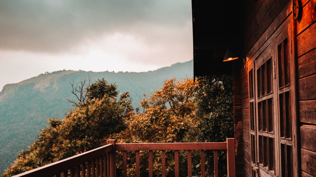
Hill resort restaurant in Paithalmala. Paithalmala, Kannur district, Kerala · paithalmala, eat, Hill resort restaurant.
Book with the place itself. India’s cyber-crime coordination centre warned in April 2025 that convincing copies of hotel and pilgrimage booking sites are being pushed through sponsored search and social ads, taking payment for rooms the property never hears about. Every listing here links to the business’s own contact details and its own Google or Bing profile — we take no commission and sit in nobody’s payment path. If a booking page reached you through an ad, check the address bar against the property’s own site before you pay. Fraud can be reported on cybercrime.gov.in or on 1930.
Find food, accommodation and activities across Paithalmala. Browse the guides for places to eat, stay and explore along your route.
Roampedia is commission-free — own or know a stay, eatery, guide or shop near Paithalmala trek? List it and it appears here once verified.
Add a nearby businessEntry: Kerala Tourism publishes INR 30 for an Indian adult and INR 100 for a foreign national, collected at the base. Additional charges may apply for guides, parking or camera — confirm current rates at the counter.
Dress code: Practical trekking wear: closed trekking shoes/boots with grip, long trousers and long socks (leech protection in the rains), a rain layer in the monsoon, sun protection and a hat in the dry season. No special religious dress code applies.
Festivals: No temple festival or fixed event is associated with the peak itself; it is a natural trekking and viewpoint destination rather than a place of worship.
Photography: Photography is freely allowed and encouraged — the grasslands, mist, butterflies and Kerala–Karnataka panoramas are the highlights. Carry a rain cover for gear in the monsoon; any drone use should be checked against forest-department rules.
If you are travelling by bus or ferry, check the return service with the operator before setting out. Leave time to reach the stop or jetty after your visit.
Ask at the bus stand for the time of the last service back, not the next one. If you miss it, an auto or app cab is the fallback — agree the fare before you get in.
If you need step-free access, contact the site before travelling. Ask about a level entrance, steps along the route, the nearest drop-off point, seating and accessible toilets.
Emergency numbers are verified against official government and state tourism sources. 112 works anywhere in India.
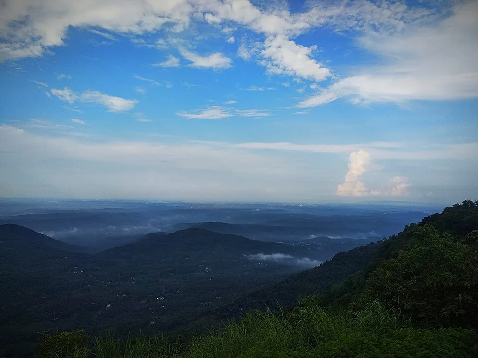
A misty grassland hill viewpoint in the Western Ghats near Kolari, ~3,000 ft, known for cloud-touched meadows, a small waterfall and adventure activities.
6.7 km · ~17 min by auto · straight line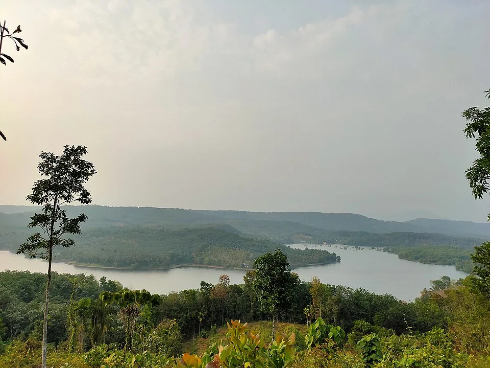
An earthen dam on the Valapattanam river near Mattannur, with a garden, boating and a hanging bridge — named after the freedom-fighter king Pazhassi Raja.
22.1 km · ~37 min by cab · straight line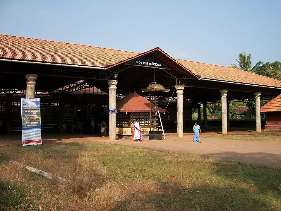
An ancient Shiva temple at Taliparamba, one of the 108 Shiva temples and the Dwadasha Shivalayams of old Kerala; men remove their shirt to enter and photography is restricted.
26.8 km · ~45 min by cab · straight line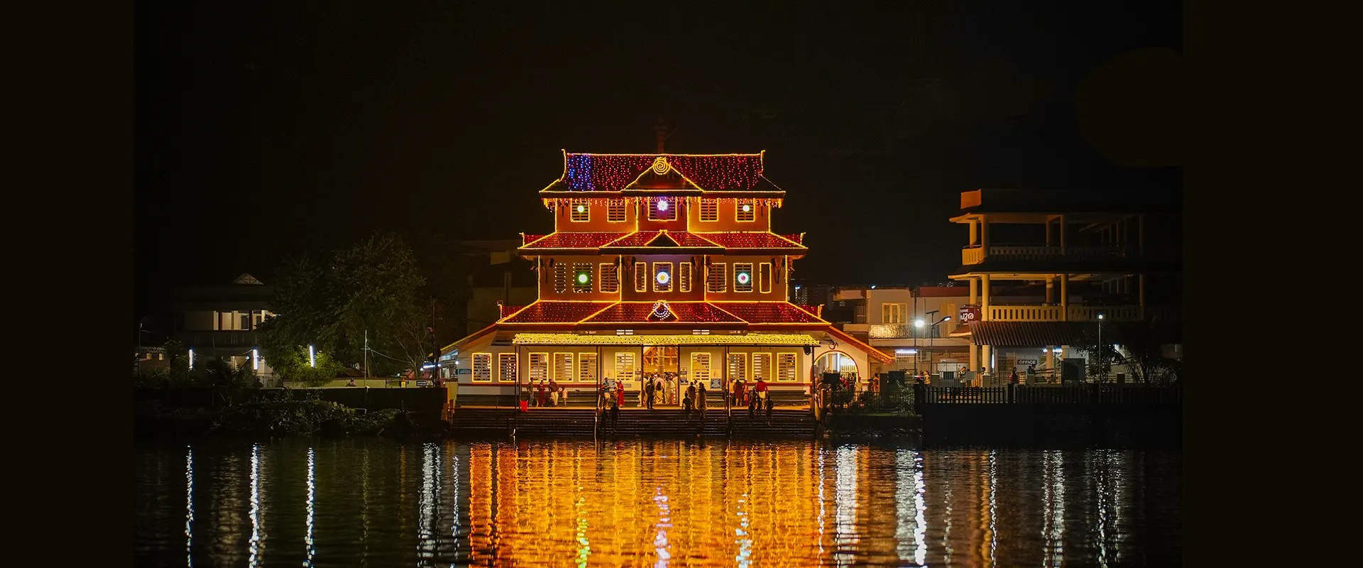
On the Valapattanam river, the temple of Muthappan — where the Muthappan Theyyam is performed morning and evening on nearly every day of the year, and where entry is open to all castes and religions; a snake park is nearby. The exception is the six weeks from the first of Thulam to the fifteenth of Vrischikam, when it stops, and the ritual year begins again with Puthari Thiruvappana around the first of December.
27.6 km · ~46 min by cab · straight line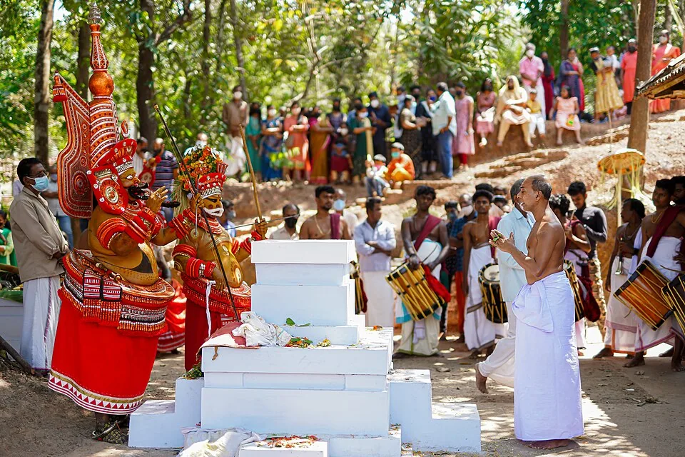
The ritual season of north Malabar, in which a man of the Vannan or Malayan community is dressed, painted and crowned until the shrine treats him as the deity itself. It runs from the tenth of Thulam, about mid-October, to the middle of Edavam at the end of May, at kavus and household shrines rather than on any stage, and the peak is January to April. Outside the season the kavus are quiet — the exception is Parassinikkadavu, north of the city, which performs Muthappan on a fixed daily schedule and is the anchor this page is pinned to.
27.6 km · ~46 min by cab · straight line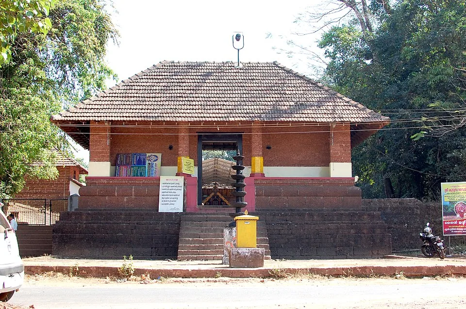
A Bhagavathy temple near Valapattanam regarded as the mother shrine of Kalaripayattu — Kerala’s martial art — where Theyyam is performed; the goddess is guardian of the kalari.
36.0 km · ~60 min by cab · straight line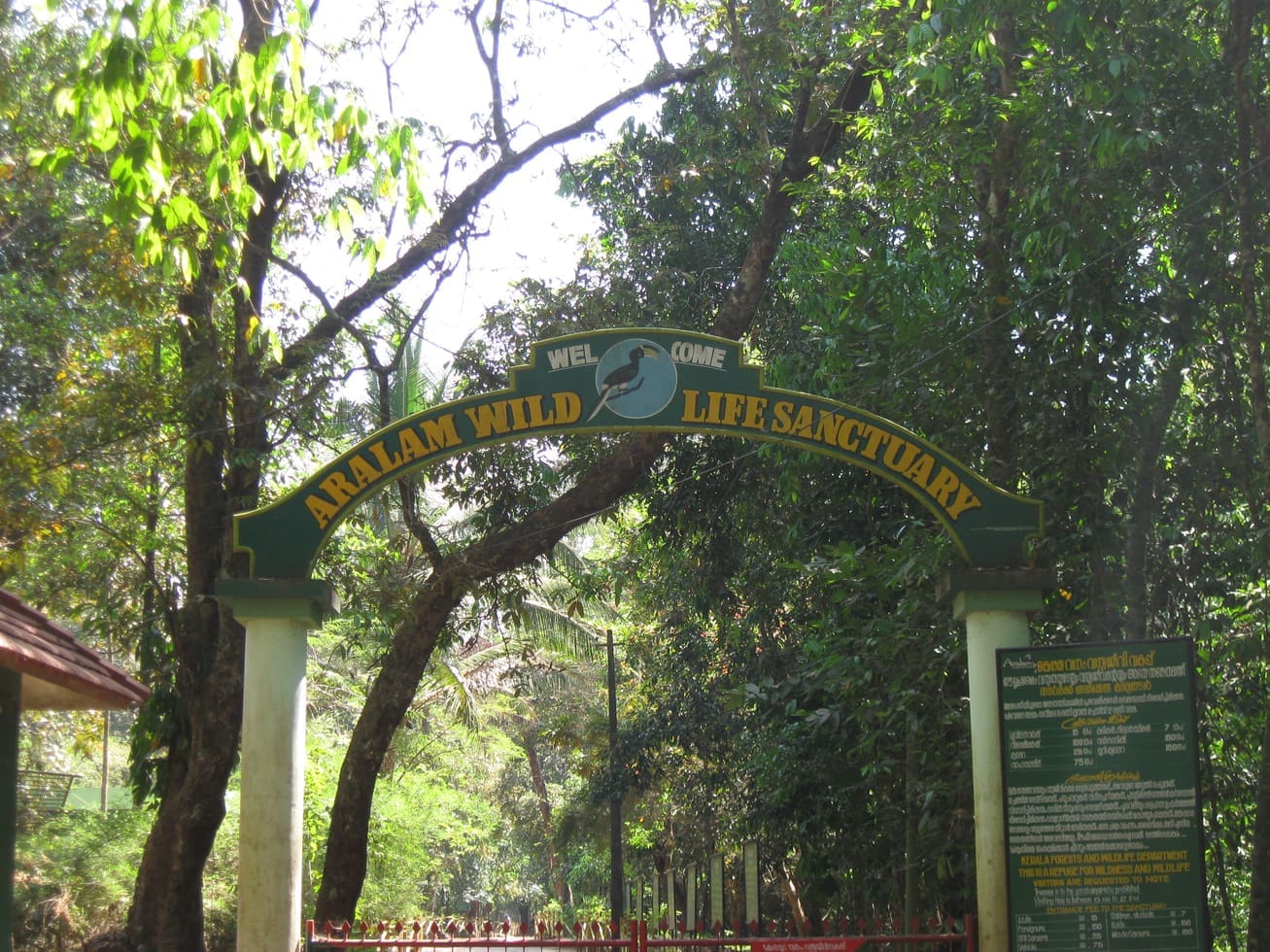
Guided forest trekking in the Aralam Wildlife Sanctuary, Kannur’s easternmost highland forest, rich in elephants, gaur and butterflies.
37.1 km · ~62 min by cab · straight line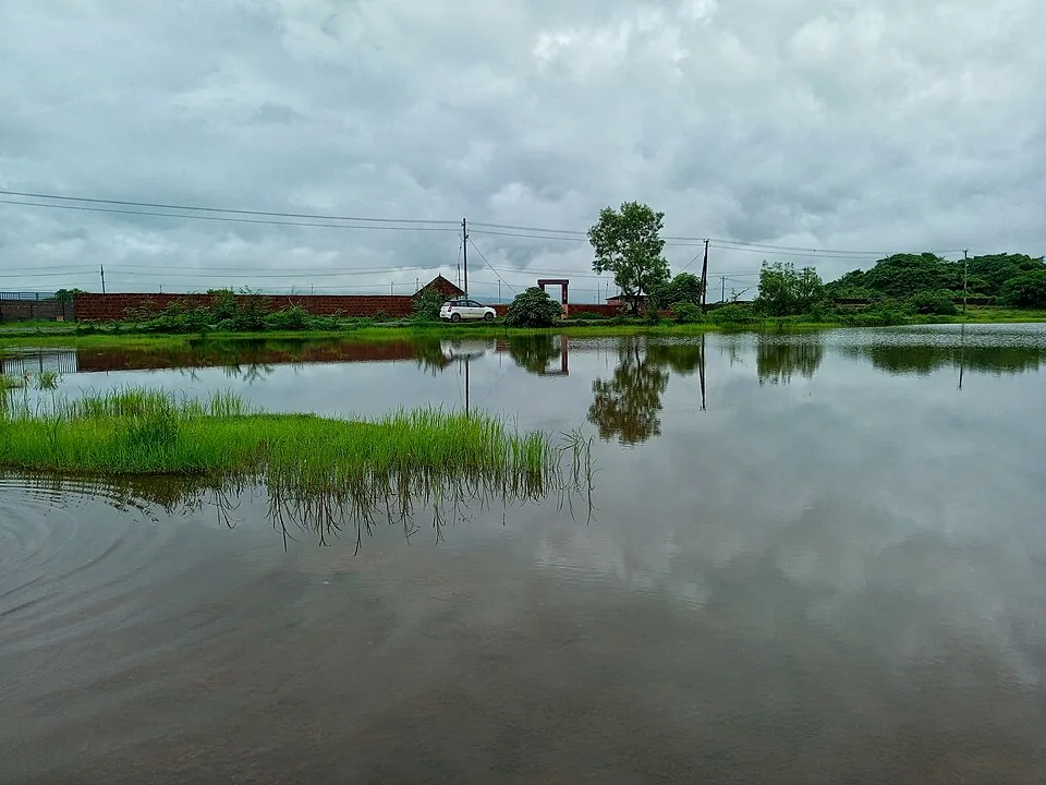
A vast laterite plateau near Pazhayangadi that bursts into wildflower bloom after the monsoon, with the Madayi Kavu, an old mosque and a temple pond — a botanist’s and birder’s hill.
37.2 km · ~62 min by cab · straight line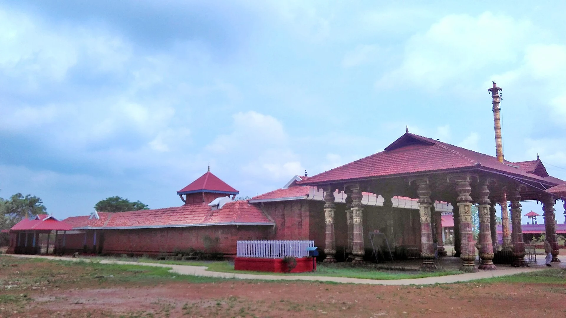
Madai Sree Vadukunda Siva Temple is the Shiva shrine beside the laterite plateau and sacred pond at Madayipara, near Pazhayangadi in Kannur. It is distinct from Thrissur’s Vadakkunnathan and from nearby Madayikavu.
37.6 km · ~63 min by cab · straight line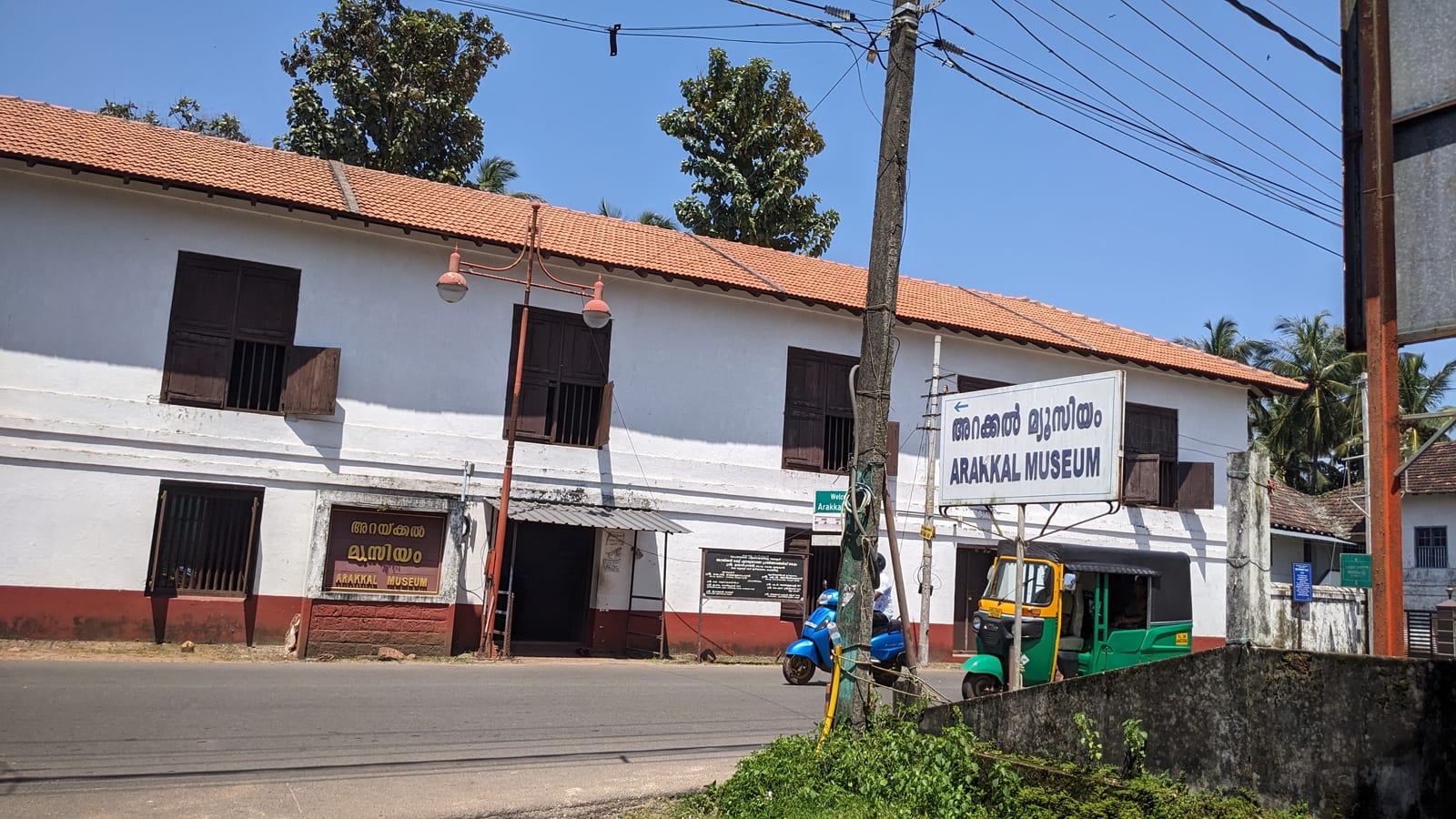
The Arakkal Kettu (palace museum) of the Arakkal Ali Rajas — Kerala’s only Muslim royal house, matrilineal so ruled at times by a Beevi (queen).
40.5 km · ~68 min by cab · straight lineForest sanctuary in the eastern highlands of Kannur district.
40.6 km · ~68 min by cab · straight line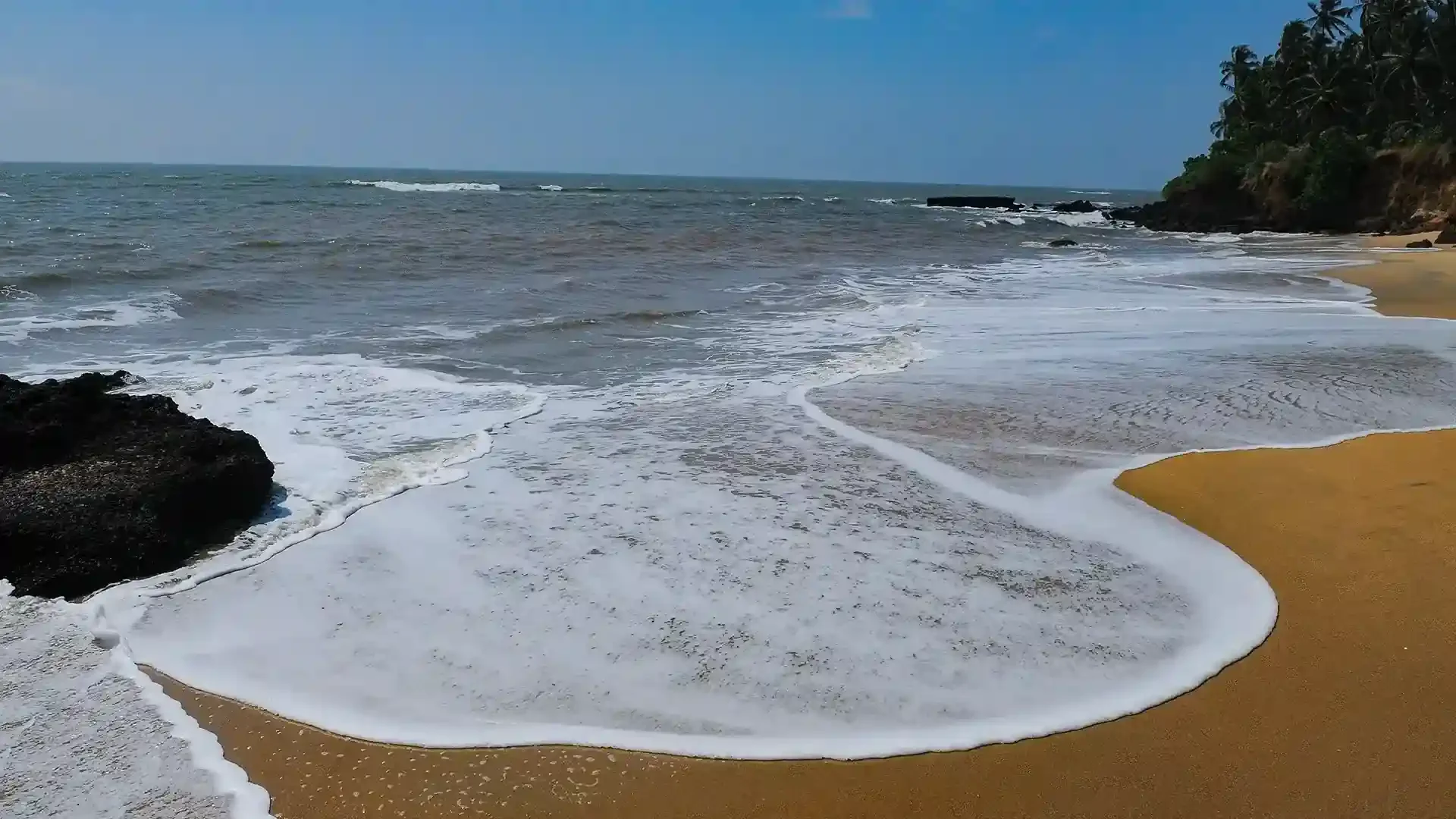
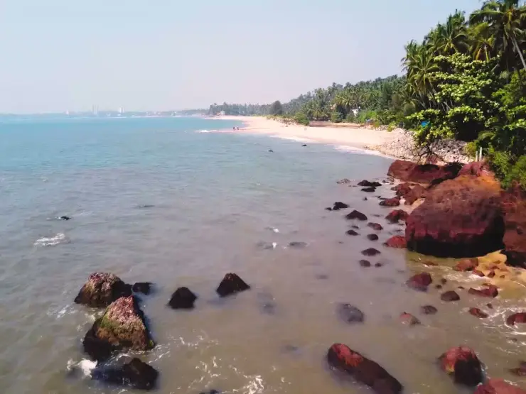
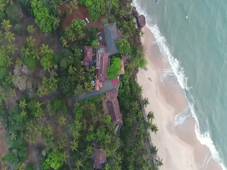
Adikadalayi Beach, also called Kadalayi Beach in Kerala’s coastal tourism study, is a Kannur shore with sandy pockets, exposed red coastal rock and palms above the water. It belongs to the Adikadalayi locality, not the separately named Thottada, Kizhunna or Ezhara beaches farther along the coast. Use the mapped public steps from Tippu Sulthan Beach Road as the arrival reference. Nearby cliff-side homestays have their own entrances and facilities, and should not be used as assumed public access.
40.9 km · ~68 min by cab · straight lineKerala Tourism's ecotourism trekking-programme page gives it as about 5 km to the top; 6 km is printed at least as widely, including elsewhere on Kerala Tourism, and the 6 km in the Malayalam sources is a jeep stage from Pottenplavu rather than a walk — so we print the disagreement rather than pick. It is generally rated easy to moderate, taking roughly two hours each way for a reasonably fit walker. Entry is INR 30 for an Indian adult and INR 100 for a foreign national, and the published timing is 9.00 am to 5.30 pm. There are two approaches: a gentler, more established path from the Pottenplavu/Kudiyanmala side and a tougher route from Kappimala near Alakode. The first section is through forest, after which the trail opens onto grassland leading to the summit watchtower.
For lush, misty green scenery the monsoon and immediate post-monsoon months of roughly July to September are magical, with emerald meadows and flowing streams — though this is also peak leech season, so come prepared. For drier trails, firmer footing and clearer long-distance views, the cooler window of about January to March is preferred. Start early on any day to be off the exposed summit before afternoon weather.
Yes — during and just after the monsoon leeches are common on the forest sections. Wear closed trekking boots, long trekking trousers and long socks, and consider anti-leech socks or a salt/tobacco deterrent. Check regularly on the wetter stretches. Outside the rains the leech problem largely disappears.
A small entry fee is typically charged at the base (reported at around ₹30 per person), and trekking access is managed by the forest and tourism authorities, so seasonal forest-department permission may apply. Because fees, timings and permit rules are revised from time to time, confirm the current position at the base counter before you set out.
Essentially none. The summit has only an open watchtower/observatory platform and grassland — there are no shops, restaurants, drinking water or toilets at the top. Carry sufficient water and food, wear sun and rain protection, and take every bit of your litter back down with you to help protect the fragile ecosystem.
A local guide is strongly advisable. The forest stretches can be disorienting, the weather changes quickly at altitude, wild elephants occasionally move through the belt, and a guide helps with route-finding, safety and any seasonal permit formalities. Guides can usually be arranged at Kudiyanmala or through local operators and resorts.
Post-monsoon to winter is best for green hills and clearer walking. Heavy rain and mist can make the route unsafe.
Entry: Kerala Tourism publishes INR 30 for an Indian adult and INR 100 for a foreign national, collected at the base. Additional charges may apply for guides, parking or camera — confirm current rates at the counter. Timings: Kerala Tourism gives the trek timing as 9.00 am to 5.30 pm. Start early anyway, to be off the exposed summit before the afternoon weather. Access may be restricted during heavy monsoon spells or forest-department closures.
Base in Paithalmala/Kudiyanmala or Kannur city with an early start. Confirm route condition and local access before setting out. Carry water, proper shoes, rain protection and a light layer.
Half day locally; full day from Kannur city.
Nearby you can pair Palakkayam Thattu (6.7 km), Pazhassi Dam (22.1 km), Rajarajeswara Temple, Taliparamba (26.8 km), Parassinikadavu Muthappan Temple (27.6 km).
Avoid ridges during lightning, heavy rain or low visibility. Stay on known routes and use local guidance. Plan return before dark on unfamiliar hill roads.
We have not published a story about Paithalmala trek itself yet. These cover Paithalmala and the wider district, with separate journeys between stops.
Route-level itineraries and practical guides for the rest of Kerala.

Photographs: Vinayaraj (CC BY-SA 4.0), Nativeplants garden (CC BY-SA 4.0), Rawbin (CC BY-SA 3.0). Wikimedia Commons.