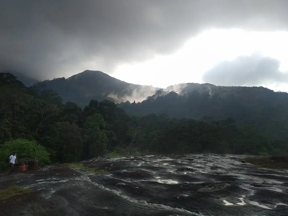
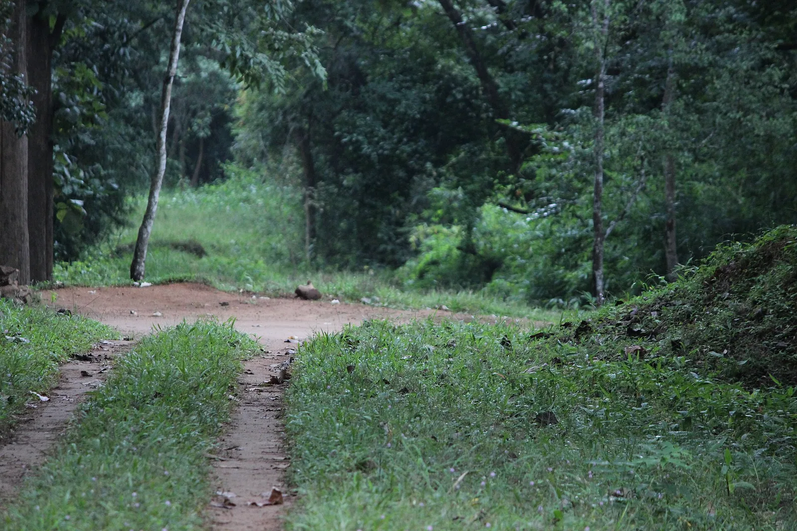
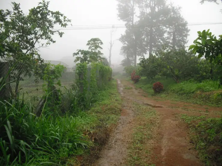
Kesavan Para is the one place on this plateau where you have to walk, and the walk is short. A red-earth path goes in under closed wet-evergreen canopy, with the light coming down green through it, and after a while the trees stop and you are standing on an enormous sheet of bare granite tilted out over the valley. Nothing is built here, nothing is charged, and there is no railing. It is the plainest thing on the Nelliyampathy range and it is the one most people remember.
The story of Kesavan Para
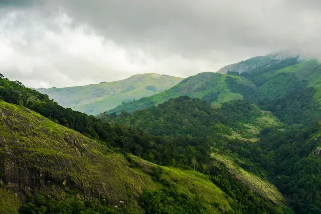
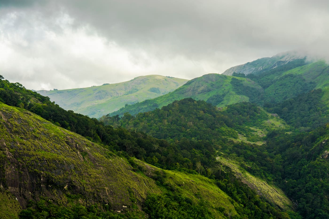
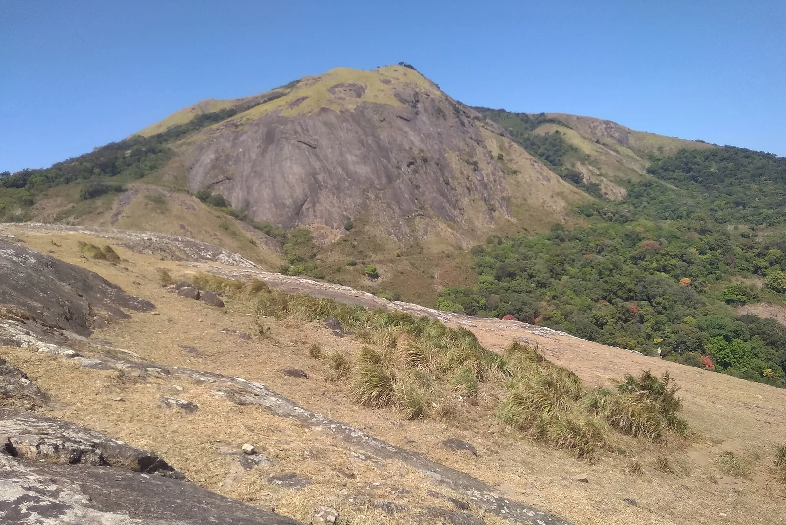
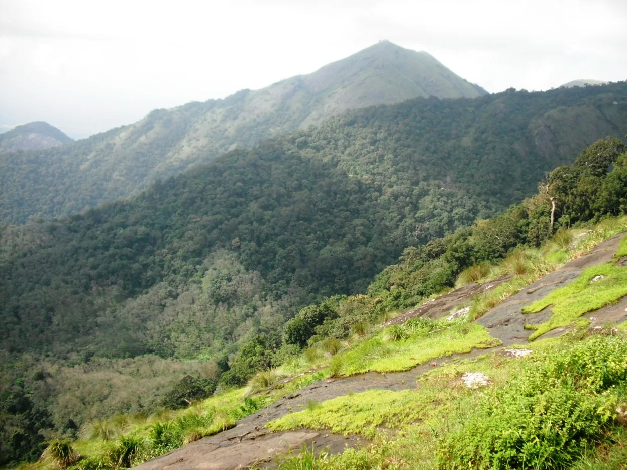
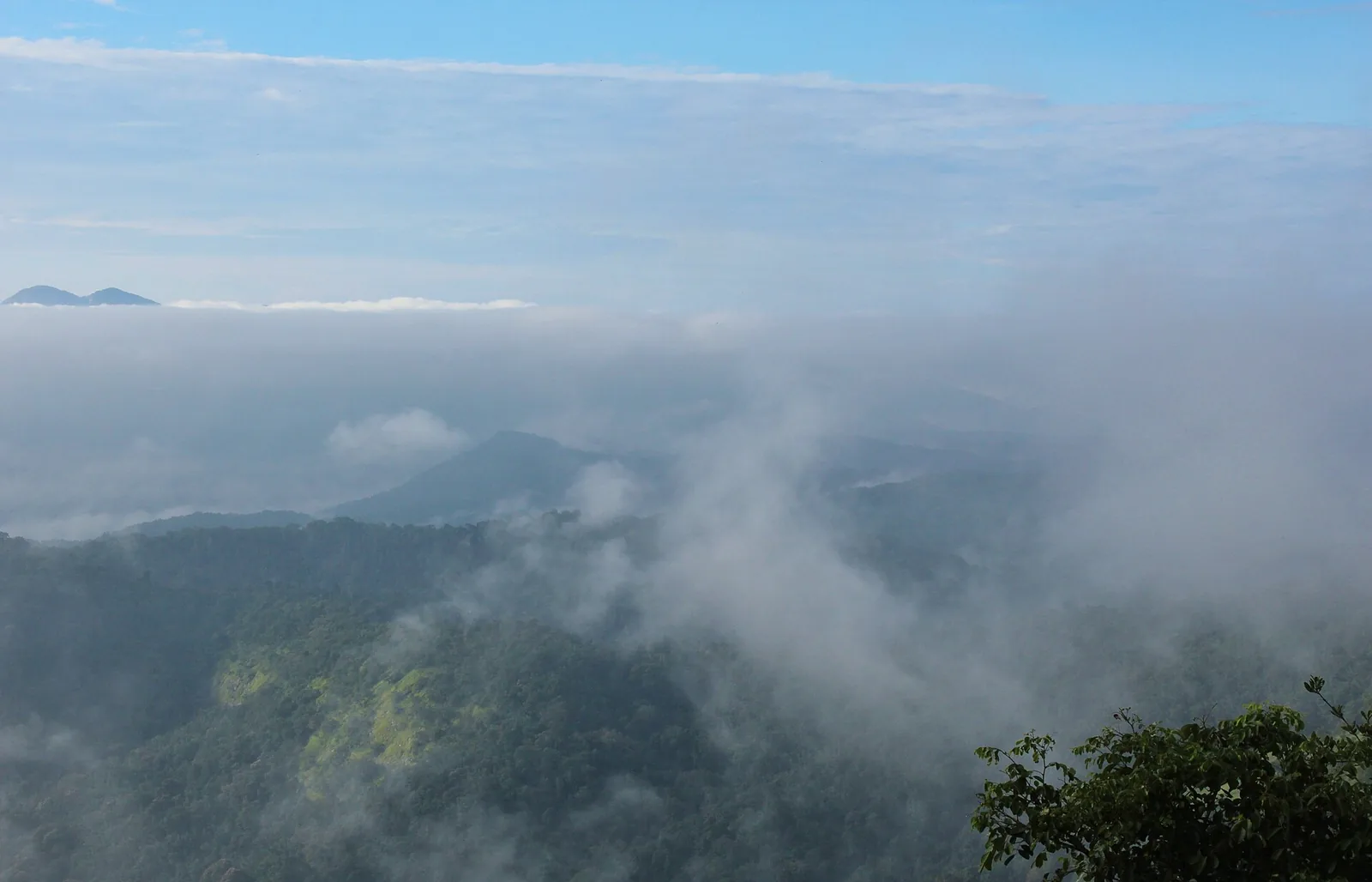
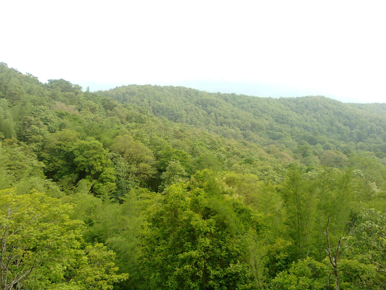
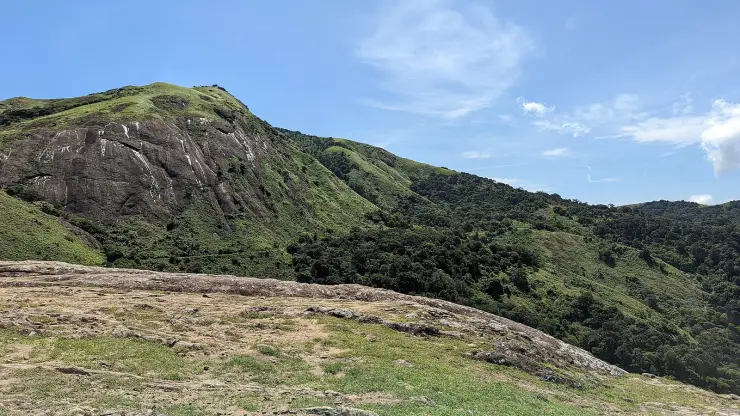
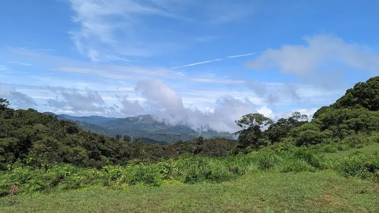
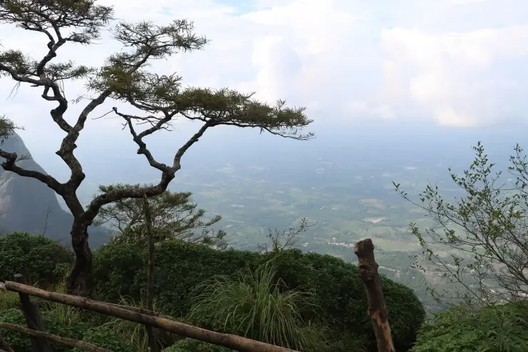
The rock is the point. Above about a thousand metres this range breaks up into bald granite domes with dry grass on their shoulders and dense shola forest packed into the folds between them, and Kesavan Para is one of those domes with the grass worn off it. Standing on it you can see the structure of the whole landscape at once: the grey rock underfoot, the wall of evergreen at its edge, the ridges beyond going blue in layers.
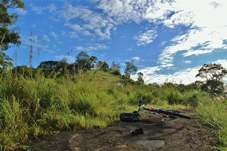
The approach earns its keep. The path in runs on red laterite earth under a canopy that closes over completely, so the walk is dim and wet and full of leaf noise, and then it opens with no warning at all onto open rock and a great deal of sky. A photograph taken from the top with a single figure standing on the sheet is the only way to convey the size of it; without a person in the frame the rock reads as a slope rather than as the acre of stone it is.
It is joined to the rest of the high ground by footpaths rather than roads. Seetharkundu, Palagapandy, Kesavan Para and Karappara are linked to one another by small paths through the trees and over the tops, and this network is the part of Nelliyampathy that almost no visitor sees, because it appears on no signboard and leads to nothing with a ticket office.
Of the walks on the plateau this is the only one you can reasonably do without the Forest Division's permission. The longer routes — Hill Top by way of Lilli, Karassuri near Anamada, the crossing to Parambikulam — are division ground and the answer changes with the season and with elephant movement. Kesavan Para is short enough and close enough to the road that it is treated differently in practice, though a local guide is still the sensible way to do it.
The name is written both ways in the sources you will meet — Kesavan Para and Keshavanpara — and in Malayalam it is കേശവൻപാറ. Para simply means rock, which is an accurate description of what is there.
The rock is older than almost anything else you will look at in Kerala. Domes like this are what remains when the softer material around a mass of very old granite weathers away over an enormous span of time, leaving a rounded shell that sheds in curved sheets — which is why the surface underfoot is smooth and gently convex rather than broken, and why shallow pools stand on it after rain instead of draining off. The scattered thin soil in the hollows is what the grass and the small tufted plants at the edges are living on.
The line where the rock meets the forest is abrupt and it is the interesting thing about the place ecologically. Shola is stunted, dense, wet evergreen forest that survives in the folds and valleys where cold air pools and fire cannot reach; grass and bare rock hold the exposed shoulders. The two have coexisted here for a very long time, and the sharpness of the boundary — you can step from closed canopy onto open stone in a single stride — is the signature of the system rather than a sign that something has been cut.
What lives in it is the argument for treating the walk carefully. The range holds gaur and Indian giant squirrel, the endangered Nilgiri tahr and lion-tailed macaque, and the Nilgiri marten, which is among the least photographed carnivores in India. Great hornbills work the canopy. Elephants move through the hills and the Forest Division closes routes when they are on the move, which is a reason to ask in the settlement rather than to assume.
The four bare tops on this side of the plateau — Seetharkundu, Palagapandy, Kesavan Para and Karappara — are joined to one another by small paths through the trees and over the shoulders. None of them is waymarked and none appears on a signboard, and several cross ground that belongs to the estates rather than to the public. It is a real network and it is the part of Nelliyampathy that visitors almost never see, but walking it is a matter of local knowledge and permission rather than of following a route description.
Read the full history of Kesavan Para 239 more words
History
The 1989 Malayalam film Mrigaya, with Mammootty, is often said locally to have been shot on this rock. It is a persistent claim and a plausible one for a location of this kind, but it is repeated far more often than it is evidenced, and it should be treated as local tradition rather than as a documented fact.
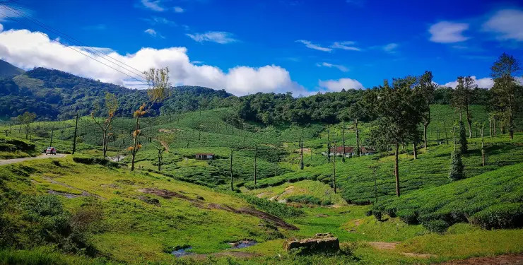
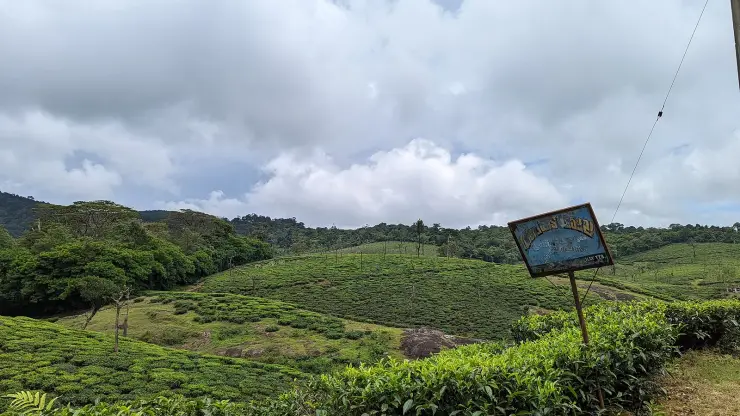
The ground itself was never cleared. While the slopes below were leased and planted with tea, coffee and cardamom from the end of the 1880s, the high domes and the shola in the folds were left, and they are now reserve forest under the Nemmara division. The abruptness of the transition from estate to untouched evergreen is a consequence of that history rather than of the geology.
Why visit
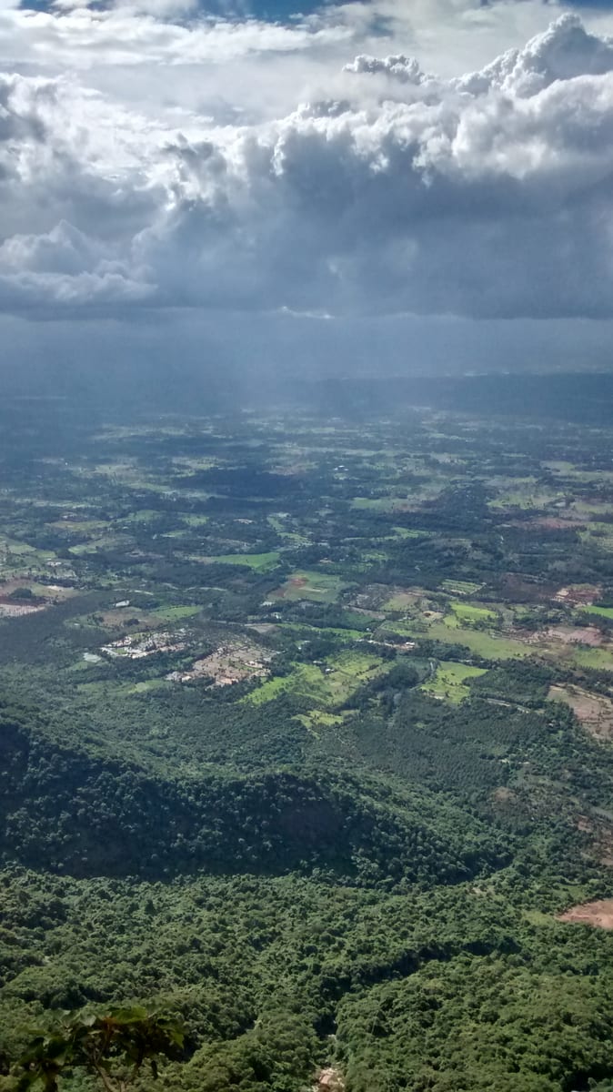
An acre of bare granite tilted over the valley, with the ridges of the Western Ghats falling away below it.
The short walk in: red laterite earth under a closed wet-evergreen canopy that opens without warning onto open rock.
The one walk on the plateau that does not need the Forest Division's permission, at about four and a half kilometres from the settlement and 2.0 km from Kaikatty.
The shola-and-grassland mosaic at close quarters — the habitat that holds Nilgiri tahr, lion-tailed macaque, gaur and great hornbill.
Footpath connections over the tops to Seetharkundu, Palagapandy and Karappara that no signboard mentions.
No gate, no ticket, no railing and, on most weekday mornings, nobody else.