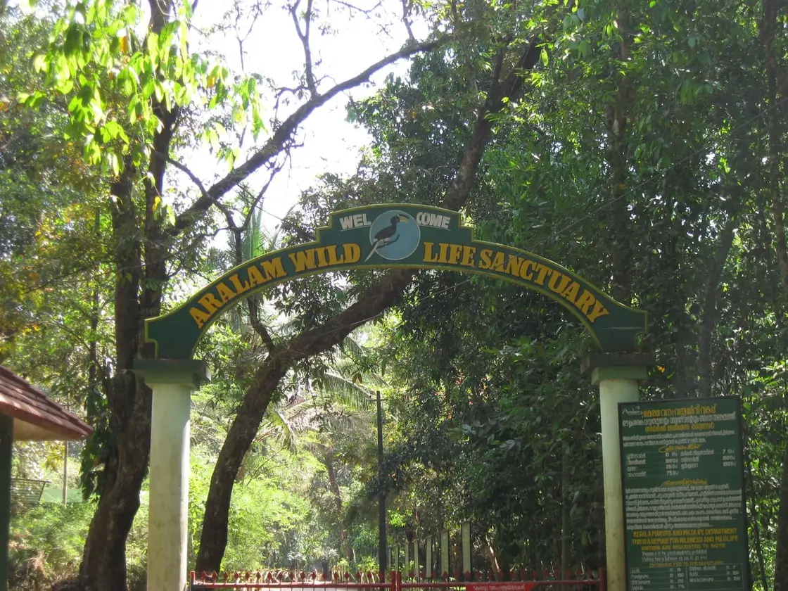
Aralam is a hill panchayat in eastern Kannur, 112.45 square kilometres of laterite ridge, rubber, areca and cashew that climbs from the Iritty road to the Karnataka border. Its 2011 population was 29,328. Most visitors know only the sanctuary on its eastern edge, but the village’s modern shape was set by something else entirely: the Central State Farm at Aralam, a federal seed farm carved out of the foothill forest around 1970 with Soviet technical help, for years one of India’s main sources of hybrid coconut seed. In June 2004 Kerala bought its 7,500 acres for tribal rehabilitation, and from March 2006 landless Adivasi families were settled on 4,054 of them, an acre apiece. Aralam today is a working farm, a resettlement of several thousand people, and a frontier where elephants come through the fence at night — all three at once.
The road in is the Iritty road. Aralam sits about sixteen kilometres east of Iritty town and roughly fifty-six from both Thalassery and Kannur, at the point where the coastal plain finally gives up and the Western Ghats begin. The panchayat office and village office are at Edur. The panchayat covers 112.45 square kilometres — large by Kerala standards — and its eastern boundary is the Karnataka state line. The 2011 census counted 29,328 people, 14,438 men and 14,890 women, with a literacy rate of 89.9 per cent, noticeably below the Kerala average of about 94 per cent. That gap is not an accident of measurement; it is one of the clearest numbers you can put on what this panchayat contains.
The land use tells the rest. The major cultivated crops are coconut, cashew, pepper, rubber and areca nut — a mid-century Malabar highland mix, planted by smallholders on the ridges and by the state on the flats. Three secondary schools serve the area: the Government Higher Secondary School at Aralam, St Mary’s Higher Secondary School at Edoor and St Sebastian’s at Velimanam. The saints’ names are a piece of history in themselves, marking the mid-twentieth-century migration of Syrian Christian farming families out of Travancore into the Malabar hills, which is how a great deal of eastern Kannur came to be cleared and planted at all.
Water organises everything here. The Aralam river runs about twenty kilometres down through the sanctuary and joins the Bavali at Ayyappankavu; a little further west, at Vattiyara near Iritty, the Veni comes in, and the combined stream runs on as the Iritty river. The Bavali itself is roughly eighty-four kilometres long and is a principal tributary of the Valapattanam. The Cheenkannipuzha, which rises in the Aralam forests, is the other major feeder of the Valapattanam system and matters well beyond this panchayat — it carries a serious share of the water that Kannur’s farming and inland fishery depend on. Annual rainfall at the farm is around 4,000 millimetres, and temperatures run from about 11°C to 40°C across the year.
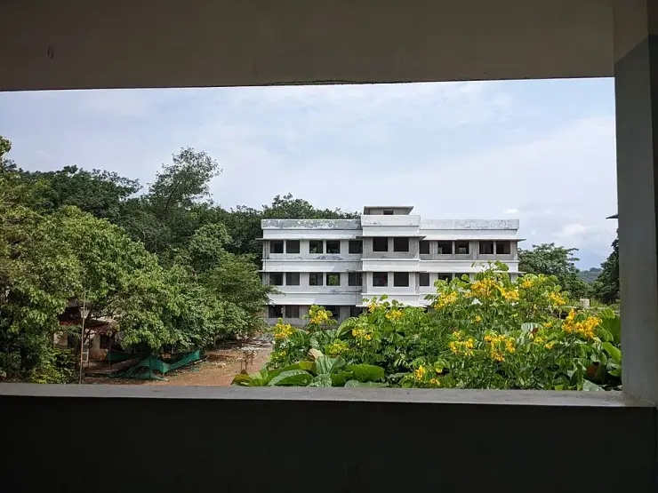
The reason there is a settlement of this size up here at all is the farm. The Government of India set up the Central State Farm at Aralam in the Kappad and Aralam villages of what was then Thalassery taluk, with technical assistance from the erstwhile Soviet Union. Its purpose was seed: Aralam became one of the country’s principal production centres for hybrid coconut seedlings, alongside cashew, areca nut and mango. Around it grew the housing, the schools, the roads and the labour lines of a state agricultural enterprise — a company town in everything but name, in a place that had been forest a decade earlier.
In February 2003 police fired on Adivasi families occupying land at Muthanga in Wayanad, and the politics of landlessness in Kerala changed. Aralam was the answer the state reached for. On 20 June 2004 the Central State Farm was transferred to the Government of Kerala, which paid ₹42 crore from the Scheduled Tribes Rehabilitation Fund for its 7,500 acres. Of that, 4,054 acres were set aside for resettlement and the remainder kept as a working farm; in June 2010 the farm half was incorporated as Aralam Farming Corporation (Kerala) Limited, wholly government-owned.
Distribution ran in four phases. Around 751 families received one acre each in March 2006, about 1,584 in September 2007, 138 in February 2011 and 549 across 2011–12 (these phase figures come from a critical account by the writer K. Kannan published in Truecopy Think, and should be read as his). Reported totals hover around 3,314 to 3,335 families assigned land — but news reporting from the farm has repeatedly noted that only a fraction, on the order of 1,717 families, actually moved and stayed. The resettlement village occupies six of the farm’s numbered blocks: 7, 9, 10, 11, 12 and 13. The largest community on it is the Paniya, with about 1,798 families; Karimpalan, Kurichiya, Mavilan and Kattunayakan families make up most of the rest.
Then the elephants. The farm sits directly against the sanctuary boundary on what is, by the assessment of forest officers and environmental writers alike, old elephant ground and a working corridor. Under central management the boundary carried about fourteen kilometres of maintained electric fence; after the handover the fence failed, and elephants began entering in numbers. At least eighteen people have been killed in elephant attacks at Aralam Farm since 2012. On the night of 23 February 2025 an elderly couple, Velli and Leela, were trampled at Karikkanmukku in Block 13 while gathering cashew; on 27 February 2026 a daily-wage labourer named Aneesh was found dead in Block 10. Residents blocked the ambulance at Karikkanmukku until the sub-collector came, and the panchayat was shut by a hartal the next day.
In July 2026 the Chief Wildlife Warden ordered the capture of a single animal — a tuskless male of about twenty to twenty-five years, catalogued KM1 or “Kannur Makhna-1”, suspected in at least three deaths and in charging Forest Department vehicles — under section 11(1)(a) of the Wild Life (Protection) Act, 1972, with a view to radio-collaring and releasing it into a larger landscape. It was the first such capture operation mounted at Aralam Farm. The protective wall has moved more slowly: a 2021 High Court order set an eighteen-month deadline, the sanction has been variously reported at ₹22 crore, ₹38 crore and a revised PWD estimate of ₹53 crore, and by early 2026 roughly four kilometres of a wall of about ten to thirteen kilometres had been built.
The farm side has suffered with it. Coconut output at the corporation fell from three to five lakh nuts a quarter to a few thousand; some 15,600 of more than 40,000 coconut palms have been pushed over; around 35,000 rubber trees on 600 acres went untapped because tappers would not walk the rows before dawn; and in 2023 about 400 workers, 274 of them tribal residents, were reported six months in arrears on a daily wage of ₹500. In July 2024 farm management moved to lease 1,655 acres to private companies — 530 acres for thirty years, 1,000 acres for pineapple on a four-year term, 100 acres and a 25-acre pig farm on thirty-year terms — and Adivasi organisations protested at the Kannur Collectorate that September and again in November, arguing the land had been bought for rehabilitation and that some 5,000 landless tribal people in the district are still waiting.
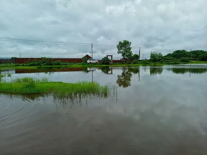
None of this makes Aralam a place to avoid, and it is not offered as spectacle. It makes it a place to visit with your eyes open. What you will actually see is an ordinary, handsome hill panchayat: iron footbridges over a green river at Anungode, plantation roads under cashew and rubber, a farm shop selling the corporation’s cashew, honey, coconut oil and mushrooms, school buses, and the wall of the Ghats standing over all of it. It is worth understanding what you are looking at.
Legend & myth
Aralam has no famous temple legend of its own, and that absence is worth stating precisely rather than dressing up. I searched en.wikipedia and ml.wikipedia for ആറളം and ആറളം ഫാം, the Malayalam terms ക്ഷേത്രം, ഐതിഹ്യം, ഉത്സവം, ഭഗവതി, തെയ്യം and കാവ് against the place name, the Aralam grama panchayat’s own site, and the Kannur theyyam kavu listings. There is no Aralam-specific origin myth in any of them. That is not surprising and it is not a gap: most of this panchayat was forest within living memory, and most of the people now living on the farm arrived after 2006. Aralam’s sacred landscape is not one old shrine. It is five belief systems that were carried up the Iritty road inside people’s households.
The Kurichiya are the oldest presence in these hills and the most sharply defined. They are matrilineal, living in clustered ancestral houses called Mittom or Tharavadu under a Karanavar, and they are one of the very few communities in Kerala to hold themselves ritually above every group around them, Brahmins included. They worship Malakkari — Kari of the hills — and the fierce mother-goddess Karimpili, the dark one from the hills, and they venerate their own dead as Nizhal, shades, who remain part of the household. After harvest they make offerings in ceremonies called Thera or Koll. Girls undergo an initiation, the pandal pattu, sung before puberty. Their very name is said to come from kuri, a target, and chiyan, people — the marksmen — a title tradition says was given them by the Kottayam Raja, whose territory this was.
The Paniya, the largest community on the farm at roughly 1,798 families, brought a different order of belief. Their principal deity is Kali. They also venerate the banyan, and hold that a person who tries to cut one will fall sick — a sanction that reads, in a landscape where 15,600 coconut palms have been pushed over by elephants and 1,655 acres have been put up for lease, less like superstition than like an older and stricter law about who may fell what. The Adiya, recorded among the beneficiaries in several accounts, carry the Gaddika, a ritual performance done to cure disease and turn away misfortune and the evil eye; it has two forms, the public Nattu Gaddika and the strictly ritual Pooja Gaddika.
The Karimpalan and the Mavilan are, in North Malabar terms, theyyam people — communities from whom the dancers who become gods are drawn, the Mavilan across the hill country of Kannur and Kasaragod, the Karimpalan through Kannur, Kozhikode and Wayanad, their name taken from kari, charcoal, and the work of burning it. Theyyam is not performed in a temple in the ordinary sense; it is performed in sacred groves, in the courtyards of ancestral houses and on open ground after the harvest. That is the point worth holding on to at Aralam. A theyyam needs a kavu and a tharavadu — a grove and an ancestral house — and resettlement is precisely the process of leaving both behind. When families were given one acre each in Block 11, the acre came without the grove.
This is the honest shape of Aralam’s lore: not a legend attached to a rock or a river crossing, but the question of whether gods travel. A house shrine can be re-established on a new acre; a burial ground and a sacred grove cannot be carried. The state understood something of this in reverse in 2026, when it renamed Adivasi settlements from ഊര് to “unnathi” and then, according to Malayalam press reports of 7 August 2026, reversed itself after ooru elders objected, the SC/ST development minister K. A. Tulsi saying that ooru is inseparable from their tradition and culture. The word came back. Whether the groves do is a slower question.
There is a legend twenty kilometres over the hills, and Aralam is not entitled to it. Kottiyoor — a clearing on the Bavali where, for eleven months of the year, there is no temple at all, and where the Daksha Yaga is said to have taken place — lies in a revenue village that surrendered forest to the same sanctuary, on the same river system, reachable on the same road. Guides and listings routinely fold it into Aralam. It is not Aralam’s. It belongs to Kottiyoor, and we tell it there.
The same discipline applies to the other story this landscape attracts. The Aralam forests were guerrilla country in the long war between Pazhassi Raja and the East India Company, and the Kurichiya archers who fought that war are the ancestors of families living on the farm today. But that war belongs to Wayanad and to Pazhassi, and we tell it elsewhere. What does belong here, and is almost never told, is the sequel: in 1812, seven years after Pazhassi’s death, the Kurichiya rose again on their own account against Company revenue demands, and were put down. They went afterwards to farming and to labour. Two centuries later their descendants were being allotted one acre each on a state seed farm, and the allotment was called rehabilitation.
More about Aralam
History
Before the 1960s this was forest and scattered highland cultivation on the edge of the old Kottayam (Cotiote) chiefdom’s territory, worked by Kurichiya, Karimpalan, Mavilan and other hill communities and, from the mid-twentieth century, increasingly cleared and planted by migrant farming families moving north out of Travancore — the origin of the Edoor and Velimanam parishes whose schools still serve the panchayat.
The decisive intervention came around 1970, when the Government of India established the Central State Farm at Aralam with technical assistance from the erstwhile Soviet Union, in the Kappad and Aralam villages of Thalassery taluk. Sources disagree on the year: the farm’s own corporate site and most government-facing listings give 1970, while several trade and tourism listings give 1971 — the difference is probably sanction year versus commencement, and I have not found a document that settles it. Its business was hybrid coconut seed, with cashew, areca nut and mango as plantation crops, and it became one of the largest such farms in the country.
In 1984 the Aralam Wildlife Sanctuary was constituted immediately to the east, out of reserved and vested forest in the Aralam, Kelakam and Kottiyoor revenue villages. From that point the farm’s eastern boundary was also a protected-area boundary, a fact that would matter enormously later. Under central management the boundary was held by about fourteen kilometres of maintained electric fencing.
The Adivasi land agitation of 2001 and the Muthanga police firing of February 2003 pushed land redistribution to the top of the state’s agenda. On 20 June 2004 the Central State Farm was transferred to the Government of Kerala, purchased for ₹42 crore out of the Scheduled Tribes Rehabilitation Fund. Distribution of one-acre plots began in March 2006 and ran in four phases to 2012, covering 4,054 acres and something over three thousand families across blocks 7, 9, 10, 11, 12 and 13. On 10 June 2010 the retained farmland — variously reported at about 3,446, 3,500 and 3,780 acres, a discrepancy no public source resolves — was vested in Aralam Farming Corporation (Kerala) Limited.
The years since have been defined by human–elephant conflict and by the corporation’s decline. At least eighteen people have been killed at the farm since 2012; the electric fence failed after the handover; a 2021 High Court order for a protective wall remains largely unbuilt; and in 2023 the corporation’s own workers, most of them resettled residents, were months in wage arrears. In July 2024 management proposed leasing 1,655 acres to private companies, drawing organised protest from Adivasi bodies on the ground that the land had been bought for rehabilitation. The 2018 Kerala floods also hit the panchayat hard.
In July 2026 the Forest Department ordered its first capture operation at Aralam, targeting the tuskless male KM1 under the Wild Life (Protection) Act. Whether the wall, the capture or the leases decide what Aralam becomes is genuinely open at the time of writing.
Why visit
See the working landscape behind one of Kerala’s largest and most contested land-reform experiments, on the ground rather than in the abstract.
Walk the old iron and timber footbridges over the river at Anungode, still the everyday crossing for people on both banks.
Buy cashew, honey, coconut oil and mushrooms directly from the state farm that grows them, rather than from a shop three districts away.
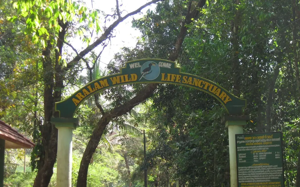
Use Aralam as the practical base for the sanctuary gate at Valayamchal without adding an hour each way from Kannur.
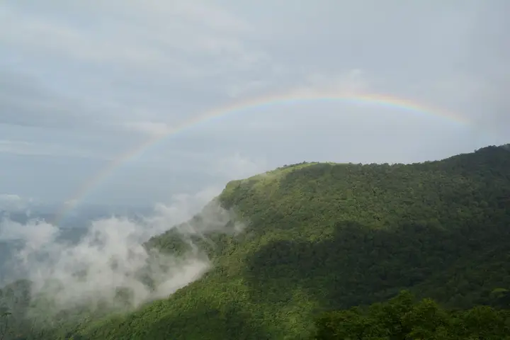
Watch the Western Ghats rise straight out of plantation country — from the panchayat roads the wall of hills on the Karnataka border is in view most of the day.
Travel a part of Kerala that receives almost no visitors and is therefore neither performed nor priced for them.