What to expect
Highlights
- Viewpoint stop at Ezhimala
- Photography and landscape views
- Good add-on to nearby town or hill routes
A dramatic 286 m headland near Payyannur, now home to the Indian Naval Academy — the hill itself is off-limits, but the beach and views below are open; rich in legend and rare herbs.
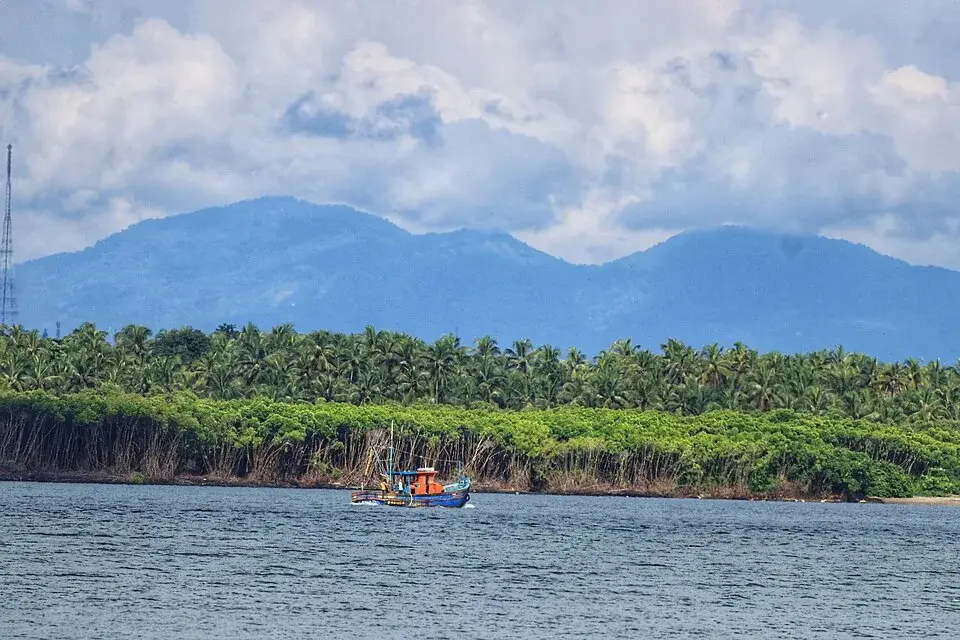
Ezhimala is a coastal skyline with a long political history and a modern naval campus. Seeing the hills from the surrounding coast and entering the academy are different visits.
Kerala Tourism describes Ezhimala as a seven-peaked hill group near Payyannur and traces its importance to the Ezhimala and Mooshika rulers. The coast below the hills was part of an older maritime trading world. The mountain is therefore more than an isolated viewpoint: its height, coastal position and settlements belong to the same story.
The Indian Naval Academy now occupies an important part of this landscape. Kerala Tourism explicitly says that visiting the academy requires prior permission. A photograph of the campus, a lighthouse or a hill road does not establish public access to that place. Decide whether your interest is the coastal view, a particular public shrine or an authorised institutional visit before setting out.
Choose a clear-weather coastal outing if the silhouette of the hills is your main interest. Ask your driver to confirm the exact public stopping place rather than treating a broad Ezhimala map search as a gate address. Keep restricted entrances out of an improvised sightseeing circuit.
Road km to Kannur; ghat roads and traffic vary — allow extra.
Clear post-monsoon and winter days are best; mist can block views in hill areas.
Live forecast loads in your browser.
Sunset is in about 3 hours.
Sun and moon are calculated for this location and shown in IST. Photography windows are the hour around sunrise and sunset; the sunset bearing is degrees clockwise from true north. Moon phase is accurate to about half a day.
Browse listed stays, food, activities, sights, shops and rentals around Ezhimala. Check each listing’s locality and contact the business directly for current arrangements.
Indian Coffee House Kannur is the cooperative contact at M.H. Tower, Makkani, South Bazar. Choose the dining branch separately using the operator directory before requesting its menu, opening hours or a group booking.
Café (burger, ice cream, indian, local, tea) on Thana Kakkad Road in Kannur City.
Restaurant (regional) on Kannur-Calicut-Valanchery Highway in Kannur City.
Malabar restaurant on Pamban Madhavan Road in Talap, running over 25 years. Known for Malabar dum biriyani, plantain-leaf meals and Arabian Sea seafood.
Book with the place itself. India’s cyber-crime coordination centre warned in April 2025 that convincing copies of hotel and pilgrimage booking sites are being pushed through sponsored search and social ads, taking payment for rooms the property never hears about. Use the contact and source details on each profile to confirm the exact business and booking channel. A directory entry or map pin alone does not establish an operator’s identity or current availability. Roampedia takes no commission and does not collect booking payments. If a booking page reached you through an ad, check the address bar against the property’s own site before you pay. Fraud can be reported on cybercrime.gov.in or on 1930.
Find food, accommodation and activities across Kannur city. Browse the guides for places to eat, stay and explore along your route.
8 more places around Kannur city. Open a guide to plan the visit and onward journey.
26.5 km · straight line
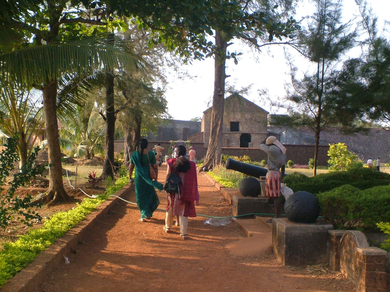
Sea-facing laterite fort built by the Portuguese in 1505, later held by the Dutch, the Arakkal royal house and the British — Kannur city’s great coastal landmark overlooking Mappila Bay.
26.4 km · straight line
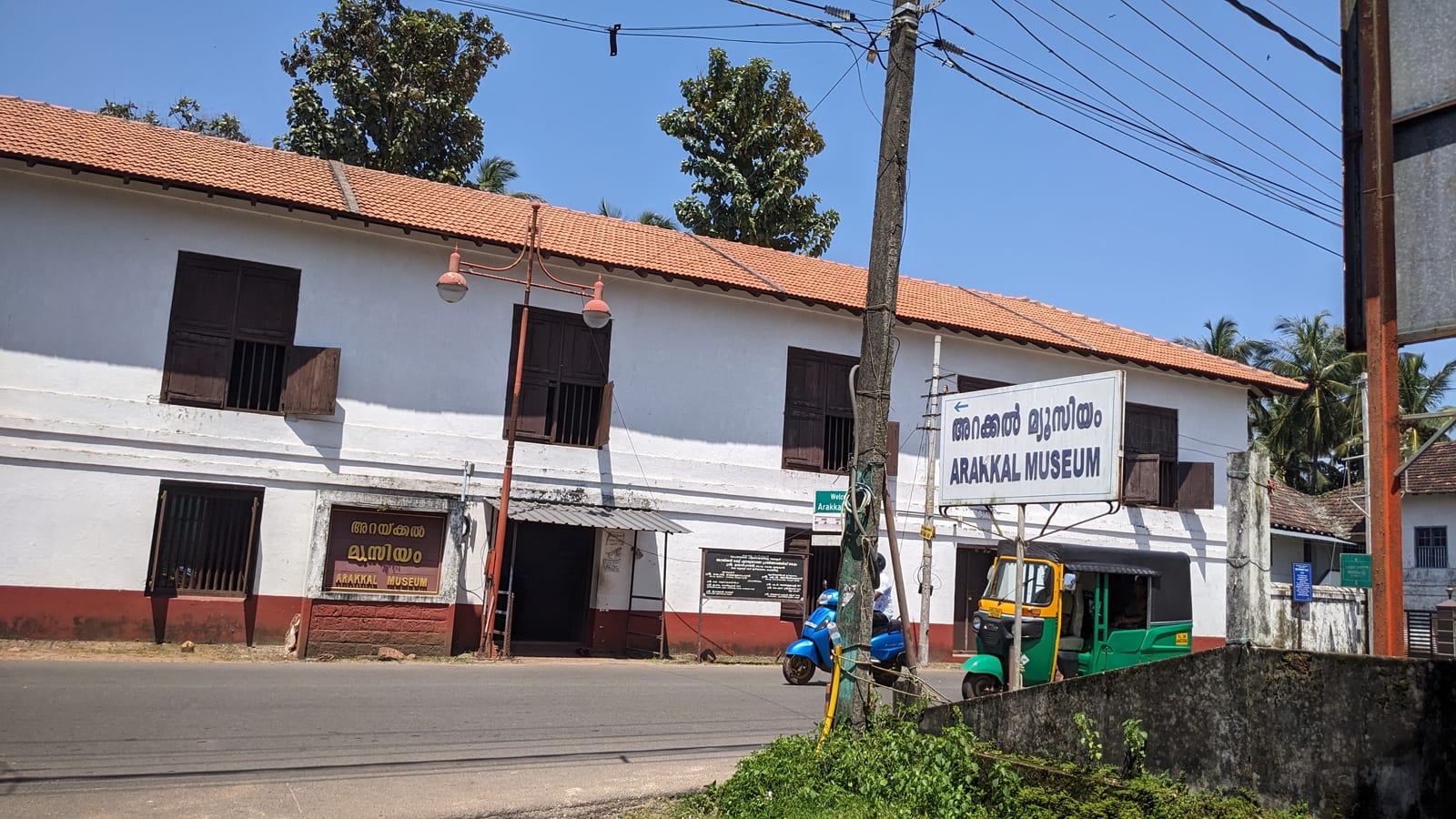
The Arakkal Kettu (palace museum) of the Arakkal Ali Rajas — Kerala’s only Muslim royal house, matrilineal so ruled at times by a Beevi (queen).
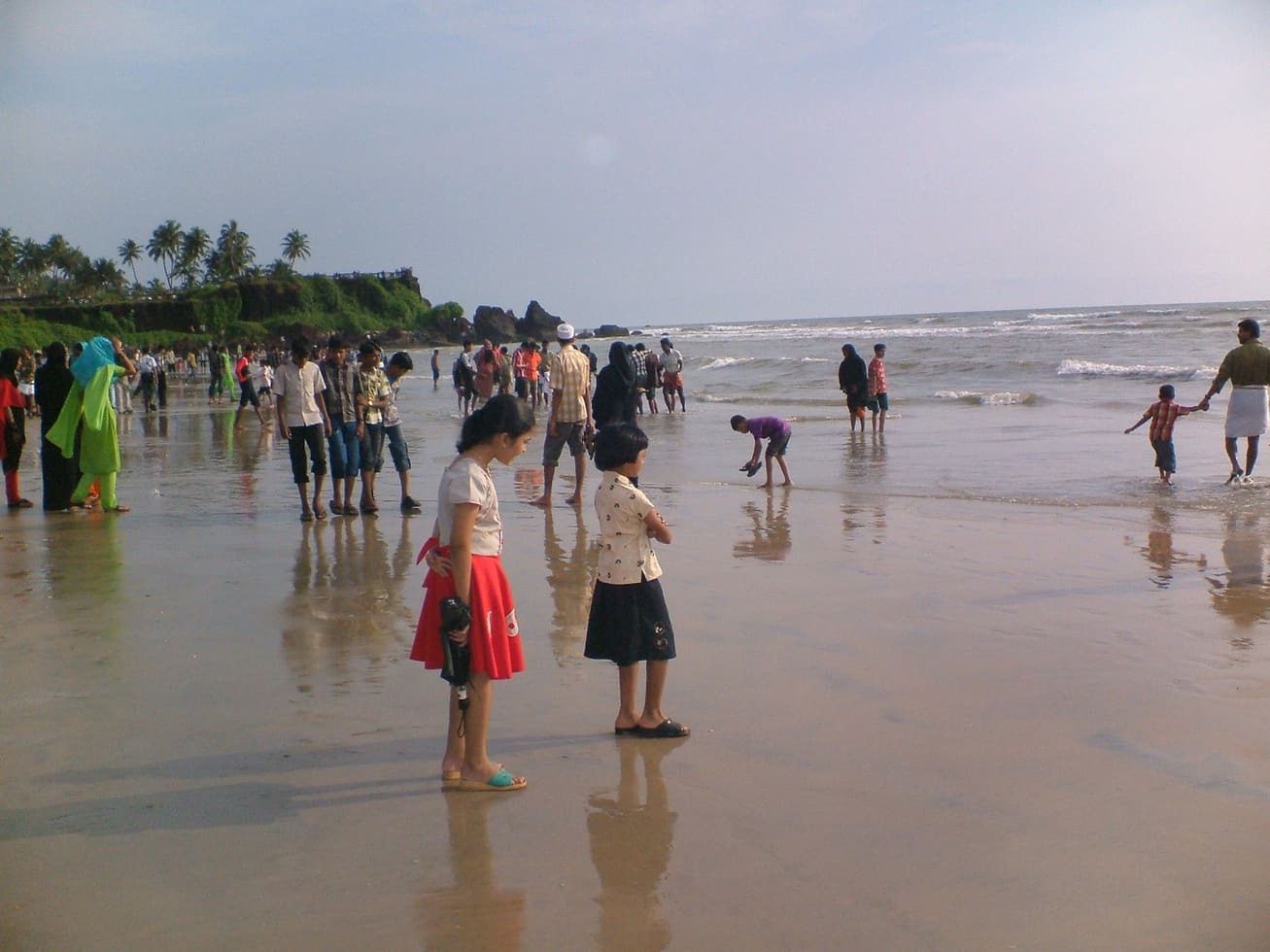
23.6 km · straight line
Kannur city’s main beach, with a landscaped garden, the mother-and-child sculpture and long sunset walkways.
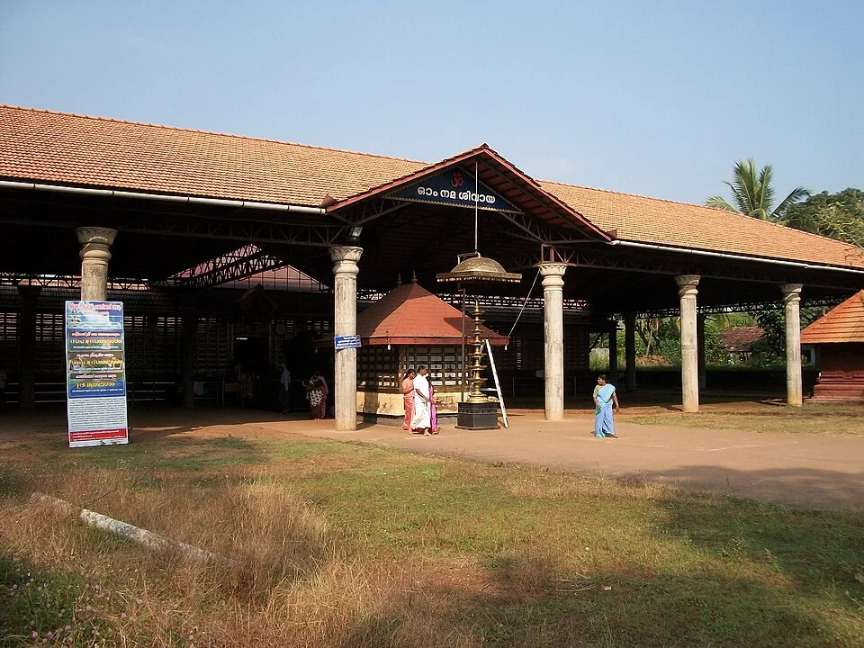
16.0 km · straight line
An ancient Shiva temple at Taliparamba, one of the 108 Shiva temples and the Dwadasha Shivalayams of old Kerala; men remove their shirt to enter and photography is restricted.
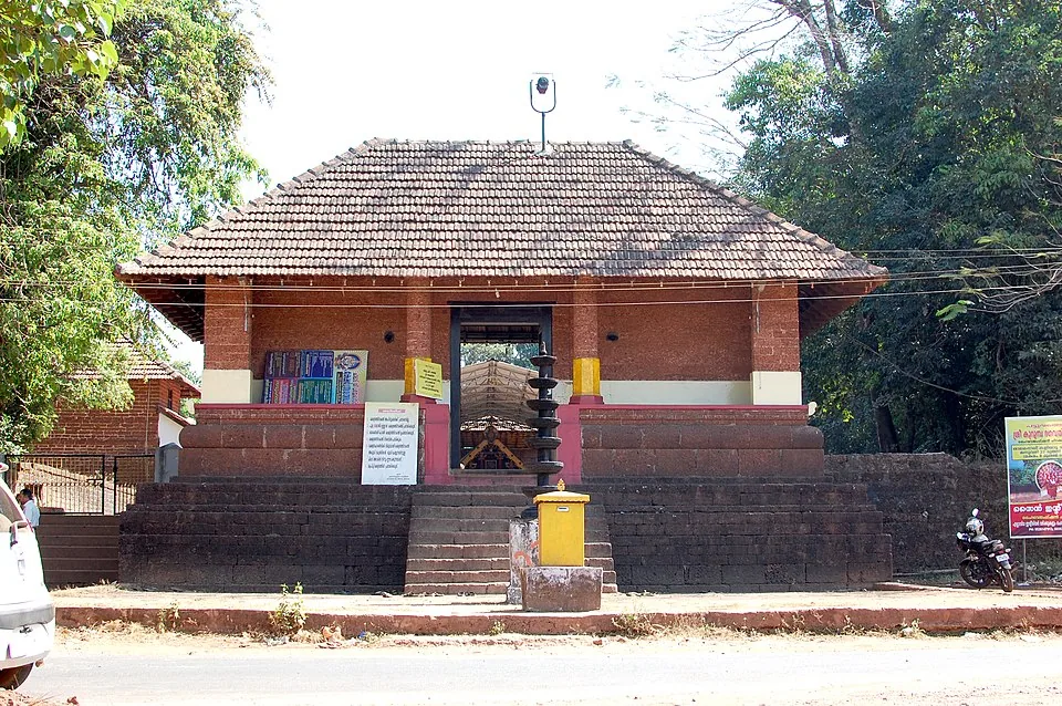
19.7 km · straight line
A Bhagavathy temple near Valapattanam regarded as the mother shrine of Kalaripayattu — Kerala’s martial art — where Theyyam is performed; the goddess is guardian of the kalari.
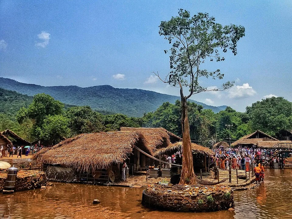
A remote forest Shiva shrine on the Bavali river, site of the ancient 28-day Kottiyoor Vaisakha Mahotsavam pilgrimage; the Akkare shrine has no permanent roof and is open only during the festival.
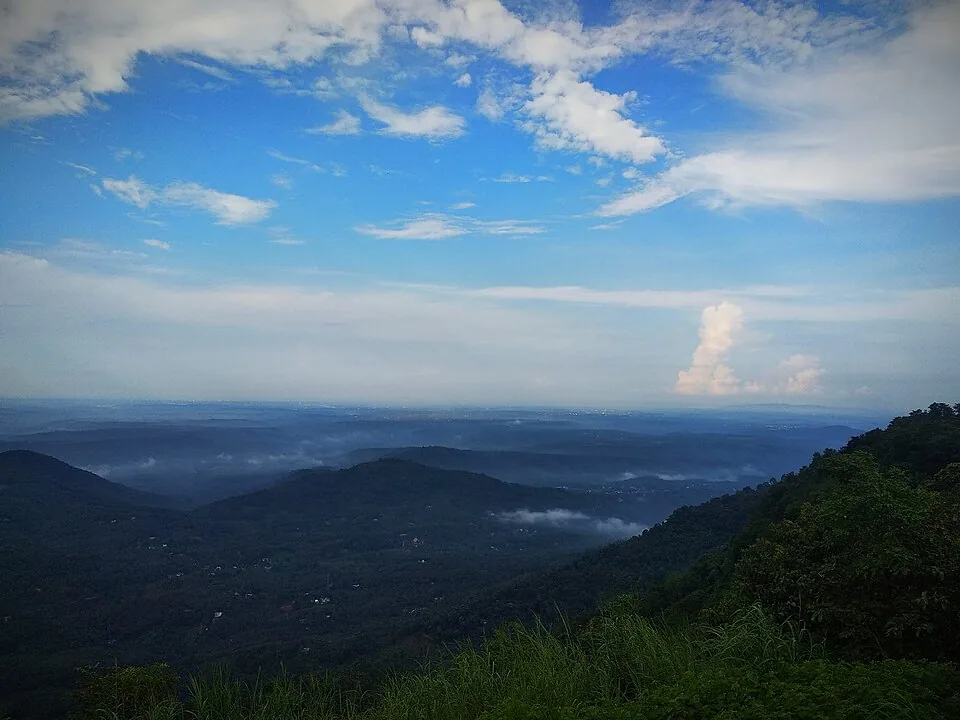
A misty grassland hill viewpoint in the Western Ghats near Kolari, ~3,000 ft, known for cloud-touched meadows, a small waterfall and adventure activities.
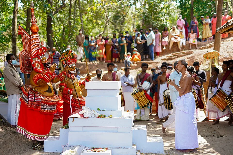
21.7 km · straight line
A man of the Vannan or Malayan community is painted, dressed and crowned until the shrine treats him as the deity, and the people who come kneel to someone most of them would not have eaten beside within living memory. The season is set by the Malayalam calendar — the tenth of Thulam, about mid-October, to the middle of Edavam at the end of May — and outside it the kavus are quiet. The exception is Parassinikkadavu, north of the city, where Muthappan is performed most mornings and evenings for most of the year, though it too stops for six weeks each autumn. These are rituals, not ticketed shows.
Roampedia is commission-free — own or know a stay, eatery, guide or shop near Ezhimala? Submit public business details for review.
Add a nearby businessEntry: The beach below is free; the hill itself is inside the Indian Naval Academy and is off-limits to visitors.
Near Payyannur, about 55 km north of Kannur city.
If you are travelling by bus or ferry, check the return service with the operator before setting out. Leave time to reach the stop or jetty after your visit.
Ask at the bus stand for the time of the last service back, not the next one. If you miss it, an auto or app cab is the fallback — agree the fare before you get in.
If you need step-free access, contact the site before travelling. Ask about a level entrance, steps along the route, the nearest drop-off point, seating and accessible toilets.
Published emergency and visitor-assistance contacts. For an immediate emergency, call 112. Shared Kerala contact sources checked 4 October 2026; publication does not establish a tested live response.
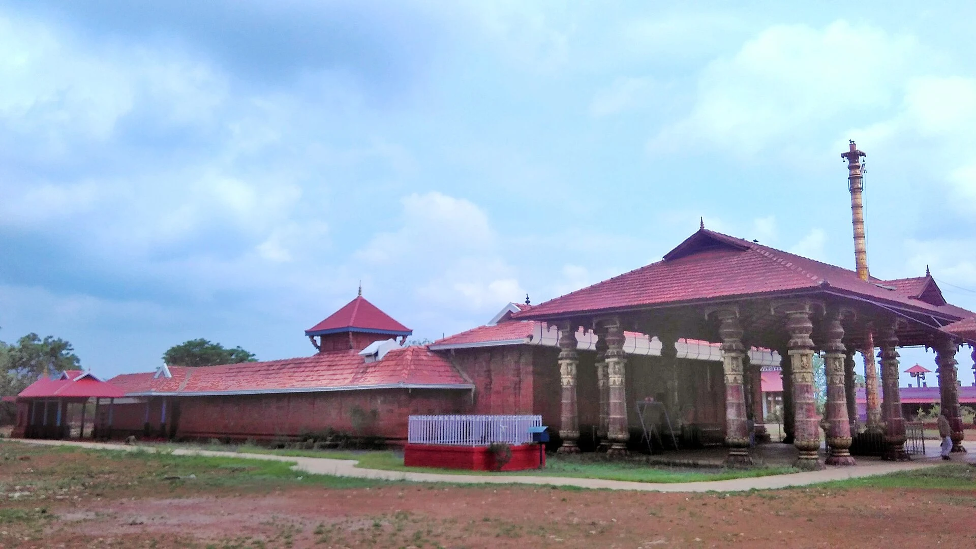
Madai Sree Vadukunda Siva Temple is the Shiva shrine beside the laterite plateau and sacred pond at Madayipara, near Pazhayangadi in Kannur. It is distinct from Thrissur’s Vadakkunnathan and from nearby Madayikavu.
4.7 km · straight line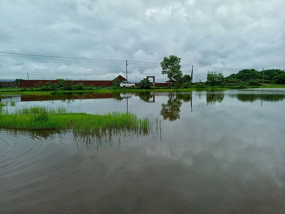
A vast laterite plateau near Pazhayangadi that bursts into wildflower bloom after the monsoon, with the Madayi Kavu, an old mosque and a temple pond — a botanist’s and birder’s hill.
4.9 km · straight lineAn ancient Shiva temple at Taliparamba, one of the 108 Shiva temples and the Dwadasha Shivalayams of old Kerala; men remove their shirt to enter and photography is restricted.
16.0 km · straight lineA Bhagavathy temple near Valapattanam regarded as the mother shrine of Kalaripayattu — Kerala’s martial art — where Theyyam is performed; the goddess is guardian of the kalari.
19.7 km · straight line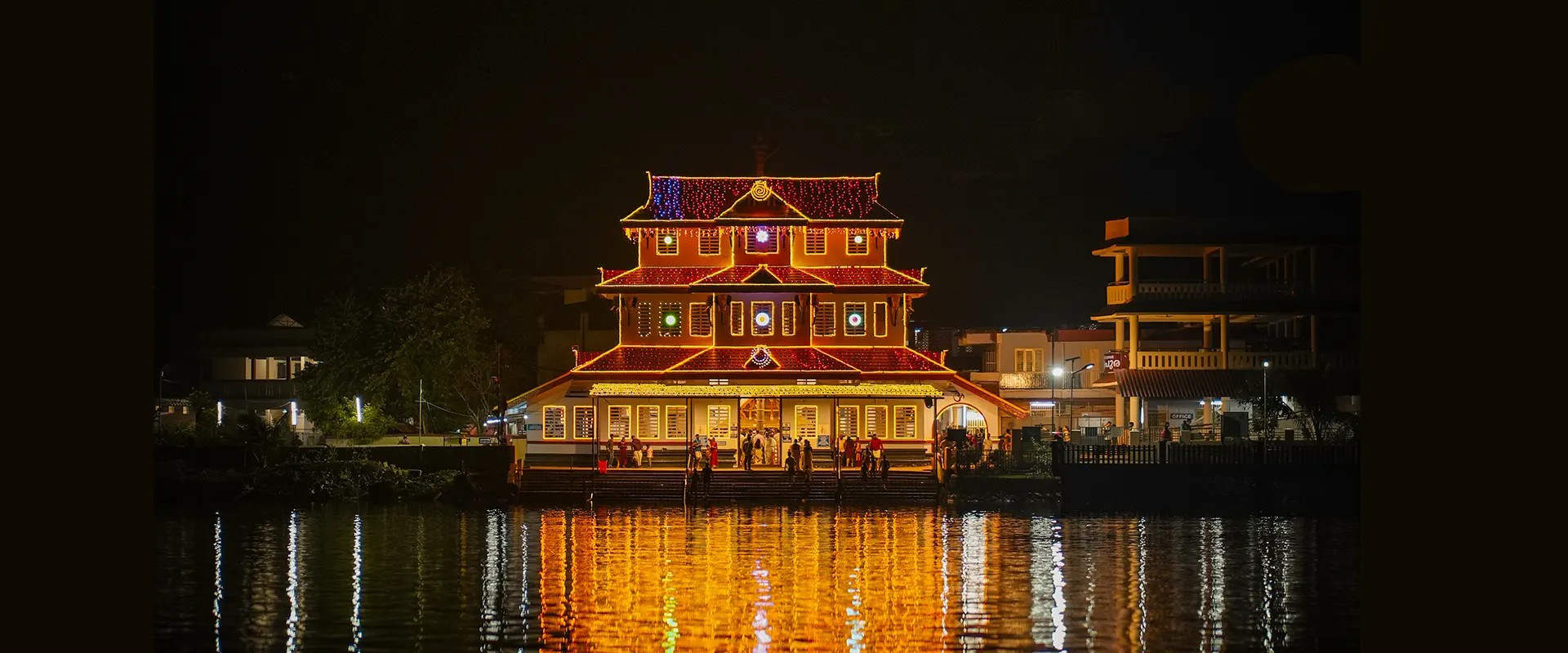
On the Valapattanam river, the temple of Muthappan — where the Muthappan Theyyam is performed morning and evening on nearly every day of the year, and where entry is open to all castes and religions; a snake park is nearby. The exception is the six weeks from the first of Thulam to the fifteenth of Vrischikam, when it stops, and the ritual year begins again with Puthari Thiruvappana around the first of December.
21.7 km · straight lineThe ritual season of north Malabar, in which a man of the Vannan or Malayan community is dressed, painted and crowned until the shrine treats him as the deity itself. It runs from the tenth of Thulam, about mid-October, to the middle of Edavam at the end of May, at kavus and household shrines rather than on any stage, and the peak is January to April. Outside the season the kavus are quiet — the exception is Parassinikkadavu, north of the city, which performs Muthappan on a fixed daily schedule and is the anchor this page is pinned to.
21.7 km · straight lineKannur city’s main beach, with a landscaped garden, the mother-and-child sculpture and long sunset walkways.
23.6 km · straight lineA small rocky beach in the Kannur cantonment, an extension of Payyambalam and within a few minutes of St Angelo’s Fort and the Kannur lighthouse. Not a swimming beach — the draw is the rocks, the quiet and the lighthouse beam after dark.
25.3 km · straight lineThe Arakkal Kettu (palace museum) of the Arakkal Ali Rajas — Kerala’s only Muslim royal house, matrilineal so ruled at times by a Beevi (queen).
26.4 km · straight lineSea-facing laterite fort built by the Portuguese in 1505, later held by the Dutch, the Arakkal royal house and the British — Kannur city’s great coastal landmark overlooking Mappila Bay.
26.5 km · straight line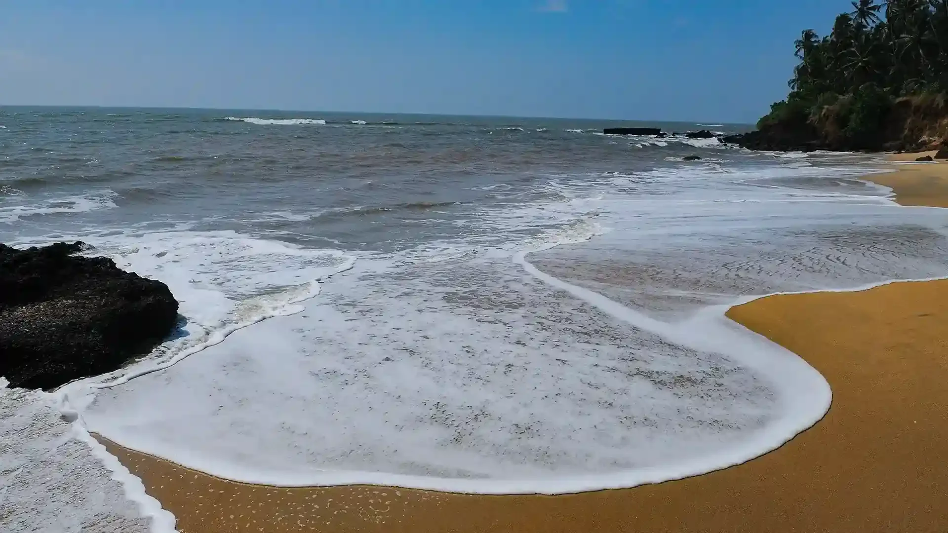
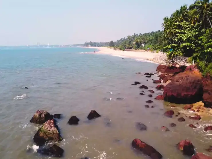
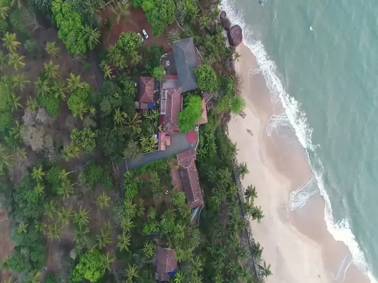
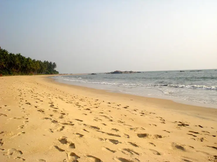
Adikadalayi Beach, also called Kadalayi Beach in Kerala’s coastal tourism study, is a Kannur shore with sandy pockets, exposed red coastal rock and palms above the water. It belongs to the Adikadalayi locality, not the separately named Thottada, Kizhunna or Ezhara beaches farther along the coast. Use the mapped public steps from Tippu Sulthan Beach Road as the arrival reference. Nearby cliff-side homestays have their own entrances and facilities, and should not be used as assumed public access.
29.1 km · straight line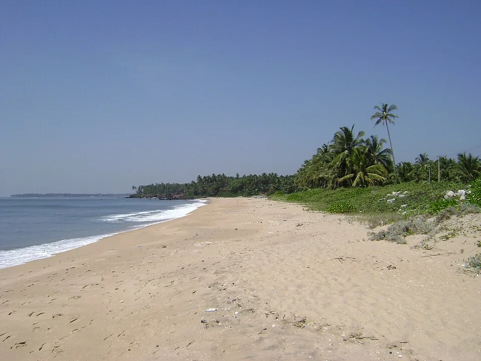
A quiet, unspoilt cove-and-stream beach south of Kannur city, known for its homestays and calm, uncrowded sands.
30.6 km · straight lineNo. The academy is a separate, permission-controlled institution. Arrange authorisation before planning entry; the surrounding coastal landscape can be the focus of a different outing.
Clear post-monsoon and winter days are best; mist can block views in hill areas.
Entry: The beach below is free; the hill itself is inside the Indian Naval Academy and is off-limits to visitors. Timings: Daylight for the beach; do not attempt to climb the hill (restricted defence area).
Base yourself in Kannur city or a nearby town in Kannur, then confirm the last-mile route locally before leaving. Go early for clearer light and easier parking; sunset viewpoints can crowd quickly. If the visit depends on forest, temple, boat, ferry, weather or seasonal access, check the official/local rule on the day before travel.
45 minutes to 2 hours.
Nearby you can pair Vadukunnu Siva Temple (4.7 km, approximate straight-line separation), Madayipara (4.9 km, approximate straight-line separation), Rajarajeswara Temple, Taliparamba (16.0 km, approximate straight-line separation), Kalarivathukkal Temple (19.7 km, approximate straight-line separation).
Stay behind barriers and away from cliff edges. Avoid viewpoints during lightning or heavy rain.
We have not published a story about Ezhimala itself yet. These cover Kannur city and the wider district, with separate journeys between stops.
Route-level itineraries and practical guides for the rest of Kerala.
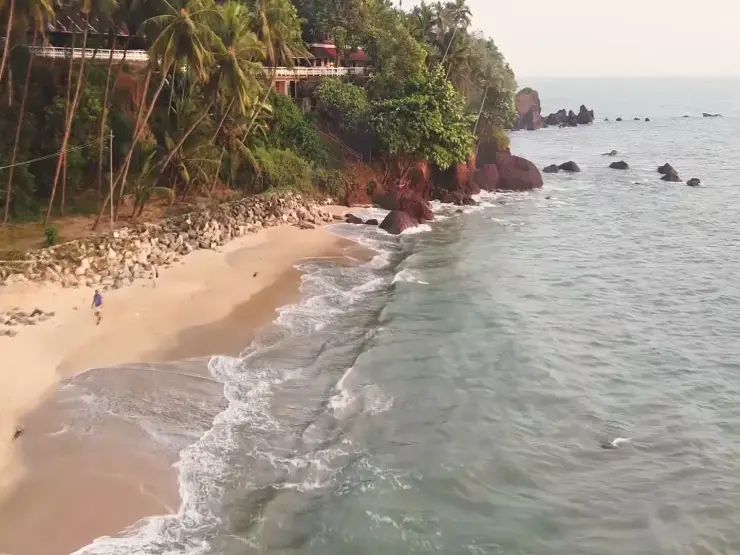
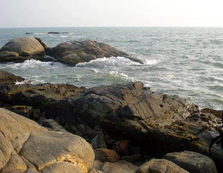
Photographs: Afsarnayakkan (CC BY-SA 4.0), Sreejithk2000 (CC BY-SA 3.0), Faraaz16 (CC BY-SA 4.0). Wikimedia Commons.