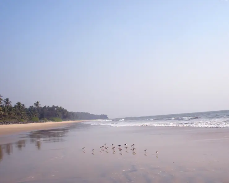
St. Angelo Fort

St. Angelo Fort is Kannur's sea-facing fort landmark, built by the Portuguese and later connected with Dutch, Arakkal and British histories on the Malabar coast. Its position above the Arabian Sea makes it both a heritage stop and a viewpoint over Kannur's harbour and coast.

St. Angelo Fort, Kannur city
Practical guide

Plan St. Angelo Fort

Who's going?Tailor St. Angelo Fort to your trip
Typeheritage
AreaKannur city
DistrictKannur
Best timeOctober to March is best for Kannur…
Time needed1 to 2 hours for the fort
EntryVaries — see below
Places to visit4Listed businesses40

Use it as the centre of a compact Kannur city heritage loop: the fort, Payyambalam and Baby Beach, the Arakkal Museum and, in season, Theyyam. Build a day around it with a guide, a city stay, food stops and transport rather than treating the fort as an isolated photo stop.

The story

A vast triangular fortress of rust-red laterite juts into the Arabian Sea at Kannur, its cannon-studded ramparts staring down over a fishing bay that Portuguese, Dutch and British flags all once fought to own.

The story of St. Angelo Fort

St Angelo Fort — known locally as Kannur Kotta or Kannur Fort — sprawls across a low headland on the northern edge of Kannur town, wedged between the open Arabian Sea and the sheltered curve of Mappila Bay. Built almost entirely of Kerala’s signature laterite, its walls glow a deep ochre-red in the low sun, and the whole structure is laid out in a broad triangle so that its guns could sweep the sea approaches from every angle. Walk in across the old approach and you are treading ground that changed hands between three European empires and one indigenous Muslim kingdom.

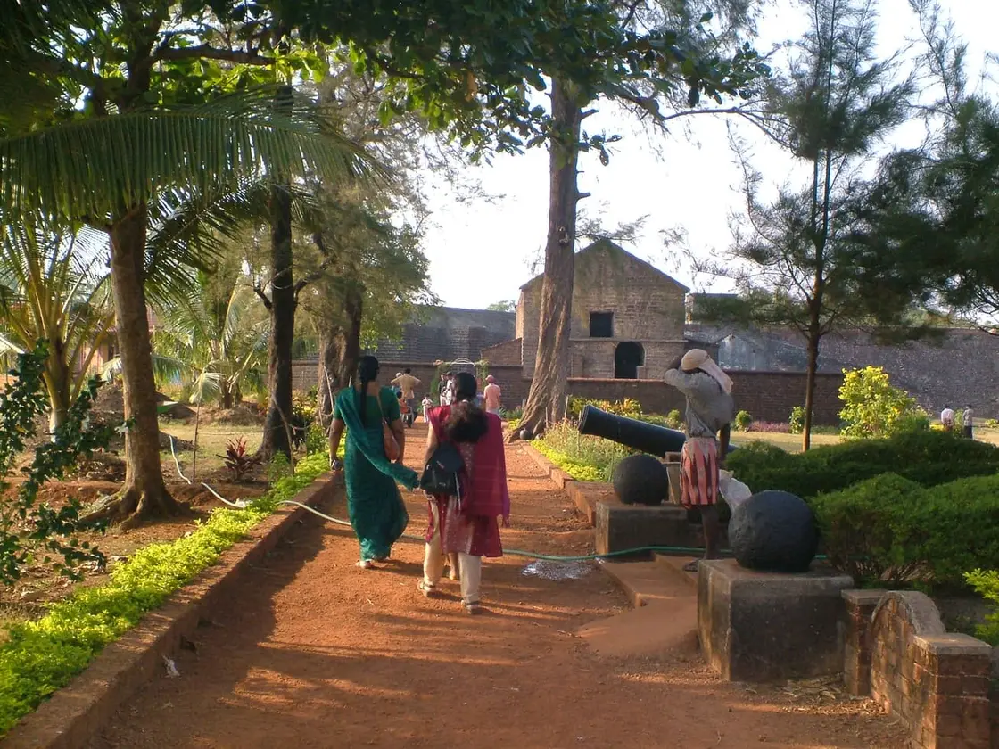
The scale is what strikes visitors first. Thick, weather-blackened ramparts rise well above head height, wide enough in places to walk along, and they enclose a green, breezy interior of lawns, ruined barracks and shaded walls. A deep dry moat once ringed the landward side, crossed historically by a drawbridge that sealed the fort off from attack. The seaward walls fall almost straight to the rocks and surf below, and it is easy to picture sentries scanning the horizon for hostile sails.

The three great angular bastions that dominate the fort today are a Dutch legacy — they named them Hollandia, Zeelandia and Frieslandia after provinces of their homeland — and it is from these projecting corners that the fort’s best sea views open up. Old iron cannons still lie along the parapets and in the grass, some pointed out to sea, and in 2015 workers unearthed thousands of heavy stone and iron cannonballs buried within the grounds, apparently stockpiled long ago as a store of ammunition.

Scattered through the complex are the quieter human traces of its garrisons: a small chapel, since restored; the remains of an early oil-lamp lighthouse; the footings of barracks, stables and a watchtower; and a Dutch-era cemetery whose seventeenth-century gravestones still mark soldiers who died far from Europe. Layer upon layer of masonry — Portuguese foundations, Dutch bastions, British service buildings — makes the fort feel like a stone diary of Malabar’s colonial centuries.

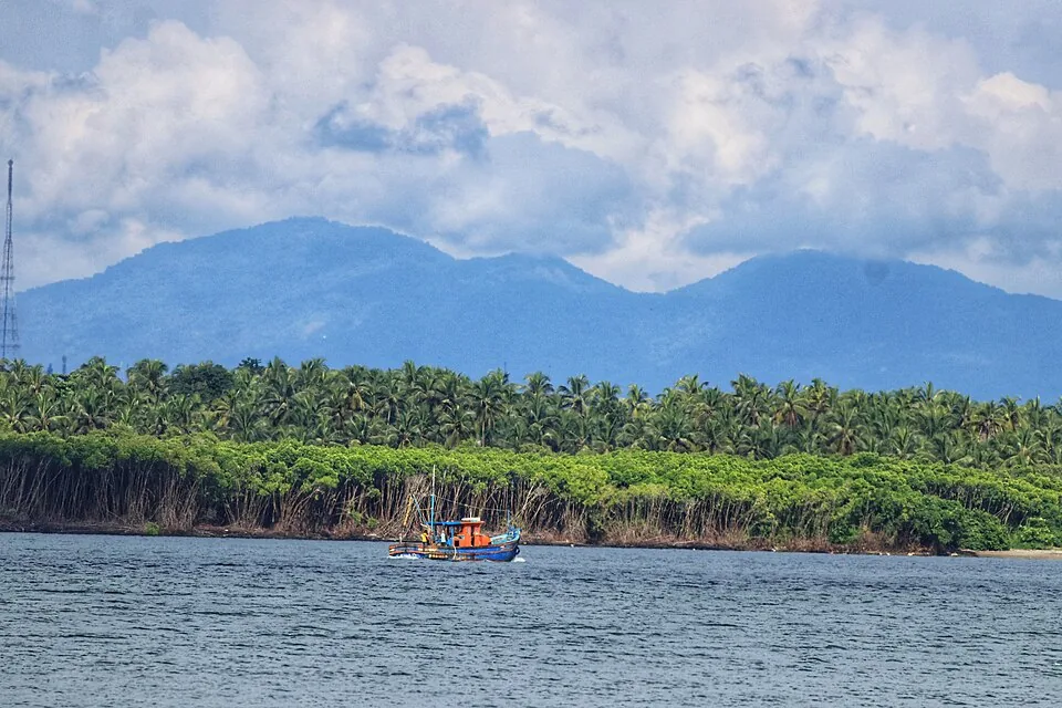
But the reason most travellers linger is the view. From the ramparts you look straight down onto Mappila Bay, a natural fishing harbour where brightly painted wooden boats cluster and nets are hauled in against a backdrop of open ocean. The Arabian Sea stretches unbroken to the west, and at dusk the whole fort turns copper-gold as the sun drops into the water — one of the finest sunset perches on Kerala’s north coast.

For all its weight of history, St Angelo remains an easy, atmospheric place to wander. It sits barely 3 km from Kannur town centre, next door to the Arakkal Museum and a short hop from Payyambalam Beach, so it slots neatly into a half-day exploration of Kannur’s seafront. Sea breeze, red walls, old guns and a working harbour below — it is a monument that still feels connected to the living coast around it.

Read the full history of St. Angelo Fort 481 more words

History

The fort was raised by the Portuguese in 1505, the year they established their first foothold on the Malabar Coast. On the orders of Dom Francisco de Almeida, the first Portuguese Viceroy of India, the foundation stone was laid on 24 October 1505 by the factor Gonçalo Gil Barbosa, and a timber fort was completed within days, by about 30 October, garrisoned by around 150 men under its first captain, Lourenço de Brito. From 1507 the Portuguese began rebuilding it in stone, turning it into their principal stronghold and a protected trading base for the pepper and spice trade of northern Kerala.

The fort was contested almost from the start. In 1507 the combined forces of the Zamorin of Calicut and the Kolathiri raja are recorded as attacking the Portuguese here without success, and through the sixteenth century St Angelo remained a hard point in the running maritime struggles along the Malabar Coast, in an era dominated by the naval resistance of the Kunjali Marakkars and local rulers against Portuguese sea power.

European control changed hands in the seventeenth century. On 15 February 1663 the Dutch captured the fort from the Portuguese. It was the Dutch who gave St Angelo much of its present form, strengthening and reshaping the defences and adding the three prominent bastions still named Hollandia, Zeelandia and Frieslandia. In 1772 the Dutch sold the fort to the Ali Raja of Arakkal — the head of the Arakkal royal house, the only Muslim ruling dynasty of Kerala — whose seat lay close by on the same stretch of coast.

The fort’s final change of masters came with the rise of British power in Malabar. In 1790 the British seized St Angelo, and they went on to make it their chief military station in the Malabar region, a role it is recorded as holding right up to Indian independence in 1947. British-era barracks and administrative buildings added yet another layer to the already much-rebuilt fortress.

Today St Angelo Fort is a nationally protected monument in the care of the Archaeological Survey of India (ASI), which maintains the ramparts, bastions, chapel and grounds. Its blend of Portuguese origins, Dutch bastions and British service buildings, set on a dramatic sea headland, makes it one of the most important and evocative colonial-era forts on India’s west coast.

Why visit

Huge, atmospheric laterite sea-fort — one of the most important colonial forts on Kerala’s coast.

A rare monument that flew Portuguese, Dutch, Arakkal and British flags in turn, with masonry from each era.

Sweeping ramparts and Dutch bastions with panoramic views over Mappila Bay and the Arabian Sea.

Old iron cannons, a dry moat, a restored chapel and a seventeenth-century Dutch cemetery to explore.

One of North Kerala’s best sunset spots, with a working fishing harbour spread out below.

Right beside the Arakkal Museum and minutes from Payyambalam Beach — an easy half-day in Kannur.
What to expect

Highlights

  • Sea-facing fort with Portuguese, Dutch, Arakkal and British layers of Malabar history.
  • Good pairing with Payyambalam Beach, Arakkal Museum, Baby Beach and Theyyam-season routes.
  • What you arrange on the ground here: heritage guides, city hotels, restaurants and auto/taxi services.
Getting there

How to visit

  • Base in Kannur city; the fort is a short local ride from the railway station and beach areas.
  • Visit in the morning or late afternoon for better light and less heat on the exposed ramparts.
  • Pair it with a beach sunset or museum stop rather than rushing across multiple distant Kannur sights.

Distance by road

  • Kozhikode92 km
  • Mangaluru143 km
  • Mysuru179 km
  • Coimbatore267 km
  • Kochi270 km

Road km to Kannur; ghat roads and traffic vary — allow extra.

Timing

Best time

October to March is best for Kannur sightseeing, with Theyyam season adding strong cultural value across the district.

Weather in St. Angelo FortSeasonal guide

Live forecast loads in your browser.

Today at St. Angelo Fort
Sunrise6:18 am
Sunset6:27 pm
Golden hour best light5:27 pm–6:27 pm
Blue hour after sunset6:27 pm–6:52 pm
Sun sets toward compass bearingW · 272°
Moon tonight🌓 First quarter · 53%
South-west monsoon. June to September is the south-west monsoon in Kerala. Expect heavy showers, mostly in bursts rather than all day — carry rain cover, allow extra time for getting around, and note that ferries and open-air sites are the first things affected.

Sun and moon are calculated for this location and shown in IST. Photography windows are the hour around sunrise and sunset; the sunset bearing is degrees clockwise from true north. Moon phase is accurate to about half a day.

Visitor notes

  • A knowledgeable local guide adds value because much of the fort's importance is historical context.
  • Carry water and sun protection; shade is limited in parts.
  • Check museum/nearby attraction closure days before building a city loop.
Safety

Good to know

  • Stay away from rampart edges and closed sections.
  • Use marked parking and avoid obstructing narrow access roads.
  • Respect protected-monument rules and posted photography restrictions.
Stay · eat · do · rent · see · shop

Stays, food & things to do near St. Angelo Fort

Verified hotels, homestays, restaurants, experiences, sights, shops and rentals around St. Angelo Fort — commission-free, with direct contact. Filter by what you need.

22 places to stay near St. Angelo Fort

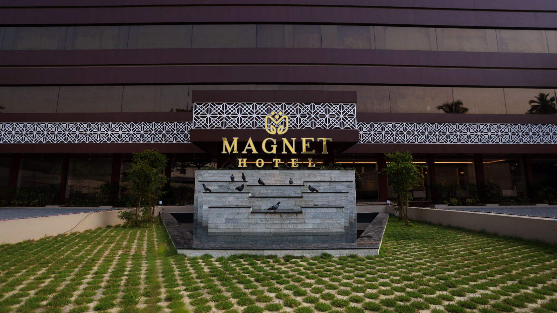
Magnet Hotel Kannur — 4-Star hotel in Kannur city
Verified
4-Star hotel · Kannur city
Magnet Hotel Kannur
8.1 km · 12 min drive 4-star ~₹120–150 by auto

Four-star facility hotel at Chirakkal, Puthiyatheru, on the northern edge of Kannur city. It offers luxury air-conditioned rooms, multi-cuisine dining and banquet and event spaces as one of the city’s newer upmarket hotels.

Directions Commission-freeView details
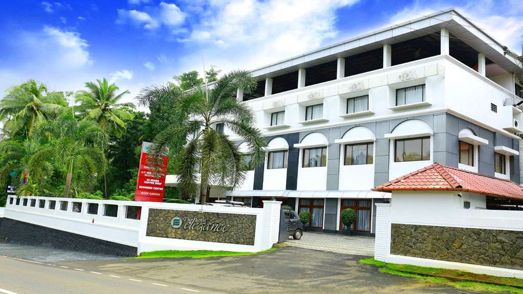
The Hotel Elegance Kannur — 4-Star hotel in Kannur city
Verified
4-Star hotel · Kannur city
The Hotel Elegance Kannur
45.8 km · 49 min drive 4-star ~₹930–1080 by taxi

Kerala Tourism-classified 4-star hotel on the banks of the Tejaswini river at Karuvanchal, Alakode, in the eastern highlands of Kannur district. It offers luxury air-conditioned rooms and suites, a coffee shop, business centre and roof garden as an upmarket riverside base.

Directions Commission-freeView details
Hotel Sky Palace Kannur — Affordable business hotel in Kannur city
Verified
Affordable business hotel · Kannur city
Hotel Sky Palace Kannur
2.4 km · 29 min walk ~₹60–80 by auto

Affordable business hotel at Metro Tower, Thavakkara Road, in central Kannur, positioned by Kerala Tourism as meeting travellers’ needs at surprisingly affordable rates. It provides value air-conditioned rooms, a restaurant and city-centre access close to the railway station and bus stand.

Directions Commission-freeView details
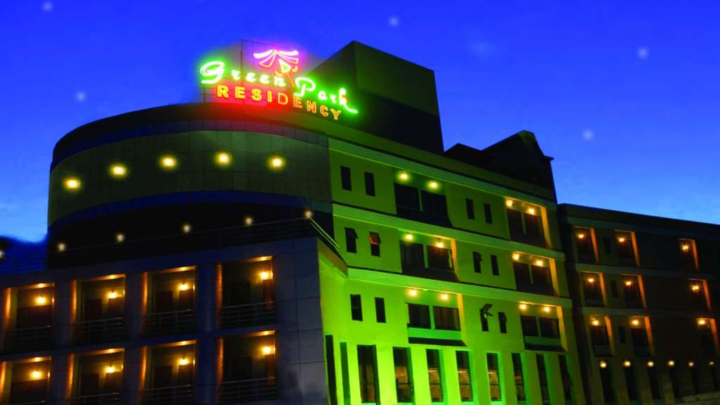
Green Park Residency Kannur — Budget 2-star hotel in Kannur city
Verified
Budget 2-star hotel · Kannur city
Green Park Residency Kannur
2.2 km · 27 min walk 2-star ~₹40–50 by auto

Kerala Tourism-classified 2-star deluxe hotel opposite the Railway Muthappan Temple at Thavakkara in central Kannur, within walking distance of Kannur Railway Station. It offers affordable air-conditioned rooms, a restaurant and banquet facilities as one of the city’s most economical KT-classified hotels.

Directions Commission-freeView details
Malabar Residency Kannur — 3-Star business hotel in Kannur city
Verified
3-Star business hotel · Kannur city
Malabar Residency Kannur
2.0 km · 25 min walk 3-star ~₹40–50 by auto

Kerala Tourism-classified three-star business hotel at Thavakkara in the heart of Kannur city, about a three-minute walk from Kannur Railway Station. It offers 42 air-conditioned rooms and suites, the multi-cuisine Barka Restaurant and a banquet hall, and is billed as the first three-star hotel in Kannur.
Directions Commission-freeView details
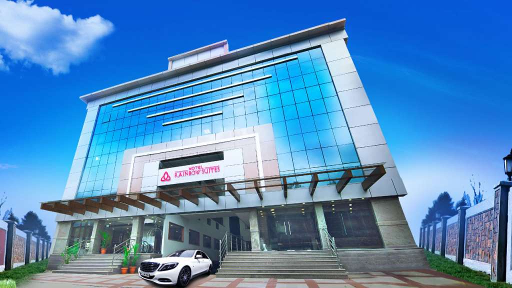
Hotel Rainbow Suites Kannur — Hotel in Kannur city
Verified
Hotel · Kannur city
Hotel Rainbow Suites Kannur
2.0 km · 24 min walk ~₹30–50 by auto

Kerala Tourism-listed hotel opposite Kannur railway station. Kannur railway station, Business hotel, City stay.

Directions Commission-freeView details
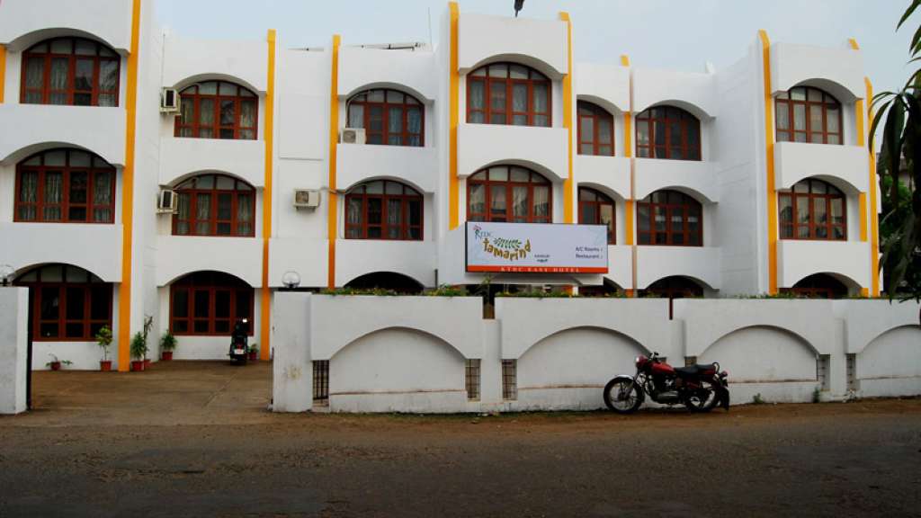
Tamarind KTDC Easy Hotel Kannur — Hotel in Kannur city
Verified
Hotel · Kannur city
Tamarind KTDC Easy Hotel Kannur
3.2 km · 6 min drive ~₹50–70 by auto

KTDC city stay near Police Club and Kannur railway-side logistics. Budget hotel (KTDC Easy Hotel) · KTDC, Kannur city hotel, Railway side stay.

Directions Commission-freeView details
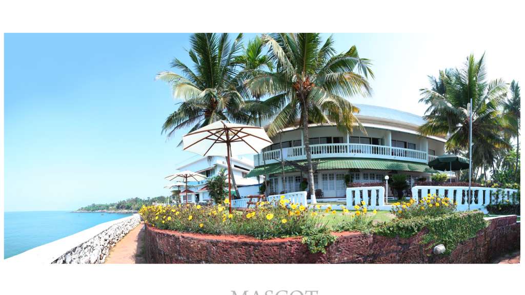
Mascot Beach Resort Kannur — Beach resort in Kannur city
Verified
Beach resort · Kannur city
Mascot Beach Resort Kannur
1.7 km · 20 min walk ~₹40–60 by auto

Kerala Tourism-listed cliff-facing beach resort near Kannur city. Mascot Beach Resort, Kannur resort, Sea view.

Directions Commission-freeView details
Hotel Blue Nile Kannur — Hotel in Kannur city
Verified
Hotel · Kannur city
Hotel Blue Nile Kannur
3.1 km · 5 min drive ~₹50–70 by auto

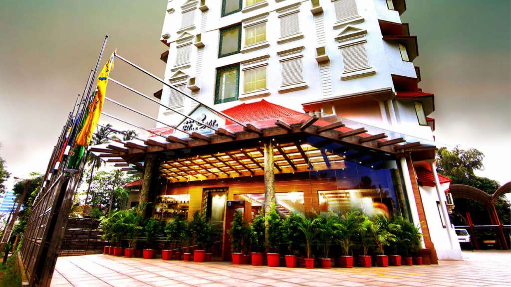
Kerala Tourism-listed four-star hotel on S.N. Park Road, Kannur. Kannur hotel, S N Park Road, City stay.
Directions Commission-freeView details
Central Avenue Kannur — Hotel in Kannur city
Verified
Hotel · Kannur city
Central Avenue Kannur
2.1 km · 25 min walk ~₹50–60 by auto

Kerala Tourism-listed four-star hotel near Thavakkara, Kannur. Kannur hotel, Thavakkara, City base.

Directions Commission-freeView details
M
Mascot Beach Resort
Place to stay
Top pick
Hotel · Kannur city
Mascot Beach Resort
1.7 km · 20 min walk ~₹40–60 by auto

Cliff-top resort overlooking the Arabian Sea near Baby Beach. Over 30 rooms with a pool, Malabar restaurant and an in-house Ayurveda centre.

Directions Commission-freeView details
M
Malabar Residency
Place to stay
Top pick
Hotel · Kannur city
Malabar Residency
2.0 km · 25 min walk ~₹40–50 by auto

Kannur's first three-star hotel, set in the central Thavakkara district. Its Barka restaurant serves multi-cuisine fare beside a large banquet hall.

Directions Commission-freeView details
C
Costa Malabari
Place to stay
Top pick
Hotel · Kannur city
Costa Malabari
7.4 km · 10 min drive ~₹110–140 by auto

Heritage homestay in a restored hand-loom factory a short walk from Thottada Beach. Home-cooked Keralan meals and guided Theyyam-festival visits.

Directions Commission-freeView details
H
Hotel Blue Nile
Place to stay
Hotel · Kannur city
Hotel Blue Nile
3.1 km · 5 min drive ~₹50–70 by auto

Four-star hotel on S.N Park Road, half a kilometre from Payyambalam Beach. A fifth-floor rooftop pool sits above three in-house dining venues.

Directions Commission-freeView details
R
Royal Omars
Place to stay
Hotel · Kannur city
Royal Omars
1.9 km · 23 min walk ~₹40–60 by auto

Three-star hotel in central Kannur run by the Omars Group's quarter-century hospitality arm. Its Paris restaurant offers 24-hour Indian and continental dining.

Directions Commission-freeView details
T
Thottada Beach House
Place to stay
Hotel · Kannur city
Thottada Beach House
11.5 km · 16 min drive ~₹180–210 by auto

Beachfront homestay of independent Kerala-style houses on Thottada Beach. Guests get private access to the quiet five-kilometre Ezhara coastline.

Directions Commission-freeView details
T
The Malabar Beach Resort
Place to stay
Hotel · Kannur city
The Malabar Beach Resort
8.6 km · 12 min drive ~₹130–160 by auto

Private beachside resort on Thottada Beach in North Malabar. Offers an Ayurvedic spa plus a dedicated centre for yoga and meditation.

Directions Commission-freeView details
K
KTDC Loom Land
Place to stay
Hotel · Kannur city
KTDC Loom Land
3.2 km · 6 min drive ~₹50–70 by auto

State-run KTDC budget hotel in the heart of Kannur town near the Police Club. Twenty-two rooms with dining and conference facilities beside transport hubs.

Directions Commission-freeView details
E
Ezhara Beach House
Place to stay
Hotel · Kannur city
Ezhara Beach House
12.1 km · 17 min drive ~₹180–220 by auto

Simple beachfront homestay facing the Arabian Sea on Kizhunna Ezhara Beach. Rooms open to sea views beside a working fishing village south of Kannur town.

Directions Commission-freeView details
A
Asokam Beach Resort
Place to stay
Hotel · Kannur city
Asokam Beach Resort
5.7 km · 9 min drive ~₹90–110 by auto

Ayurvedic beach resort on Payyambalam Beach Road at Palliyamoola. Panchakarma packages use medicines from GMP-certified parent Asoka Pharmaceuticals.

Directions Commission-freeView details
H
Haven inn
Place to stay
Homestay · Kannur city
Haven inn
2.2 km · 26 min walk ~₹40–60 by auto

Homestay in Kannur city.

Directions Commission-freeView details
B
Broad Bean Kannur
Place to stay
Verified
Hotel · Kannur city
Broad Bean Kannur
1.9 km · 23 min walk ~₹40–60 by auto

Kerala Tourism-listed four-star business hotel in Kannur city. Broad Bean, Kannur hotel, City base.

Directions Commission-freeView details

Book with the place itself. India’s cyber-crime coordination centre warned in April 2025 that convincing copies of hotel and pilgrimage booking sites are being pushed through sponsored search and social ads, taking payment for rooms the property never hears about. Every listing here links to the business’s own contact details and its own Google or Bing profile — we take no commission and sit in nobody’s payment path. If a booking page reached you through an ad, check the address bar against the property’s own site before you pay. Fraud can be reported on cybercrime.gov.in or on 1930.

Ranked guides

Top experiences around Kannur city

8 more places around Kannur city. Open a guide to plan the visit and onward journey.

museumArakkal Museum

1.2 km · 14 min walk

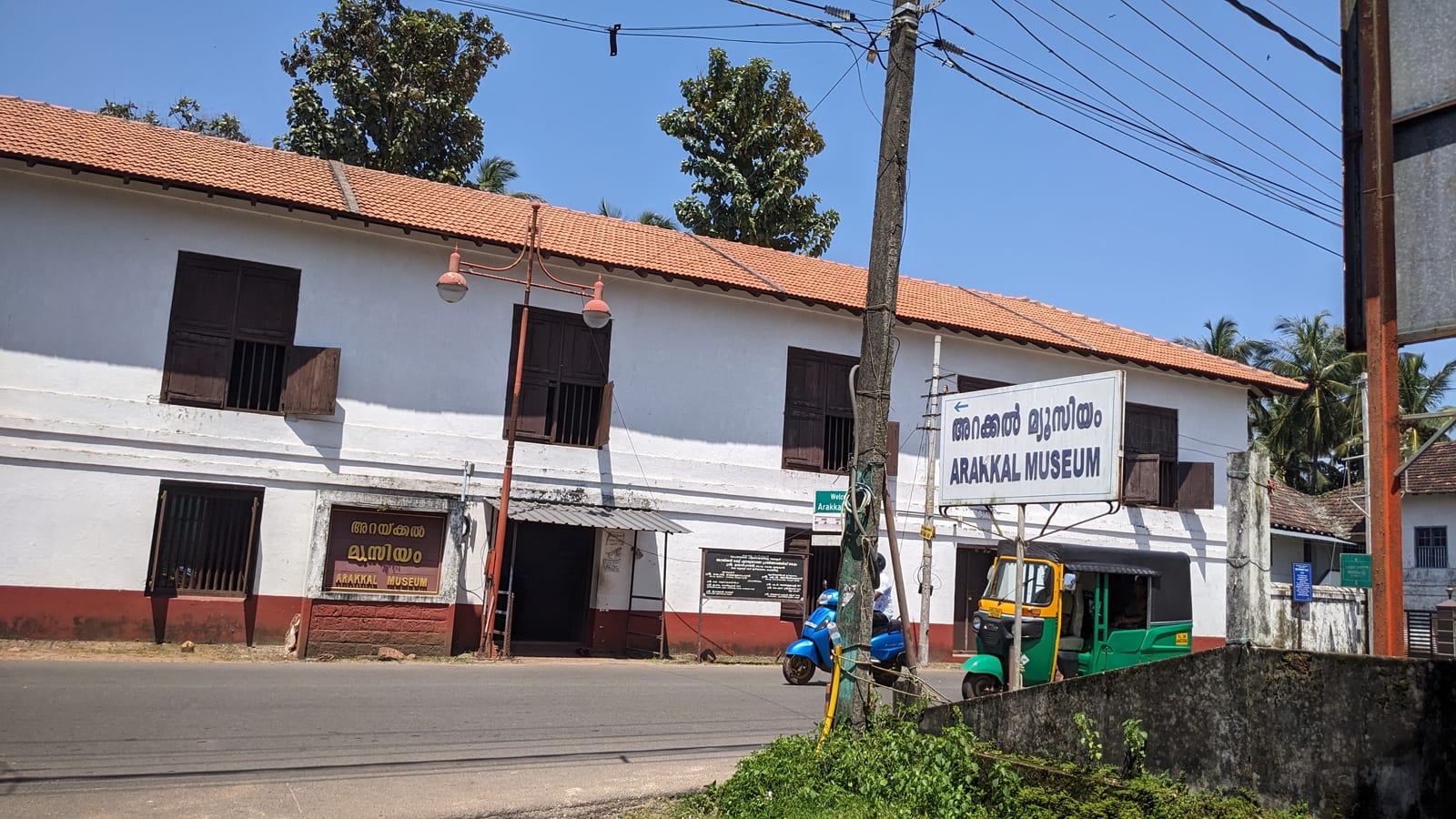
The Arakkal Kettu (palace museum) of the Arakkal Ali Rajas — Kerala’s only Muslim royal house, matrilineal so ruled at times by a Beevi (queen).

beachPayyambalam Beach

3.9 km · 6 min drive

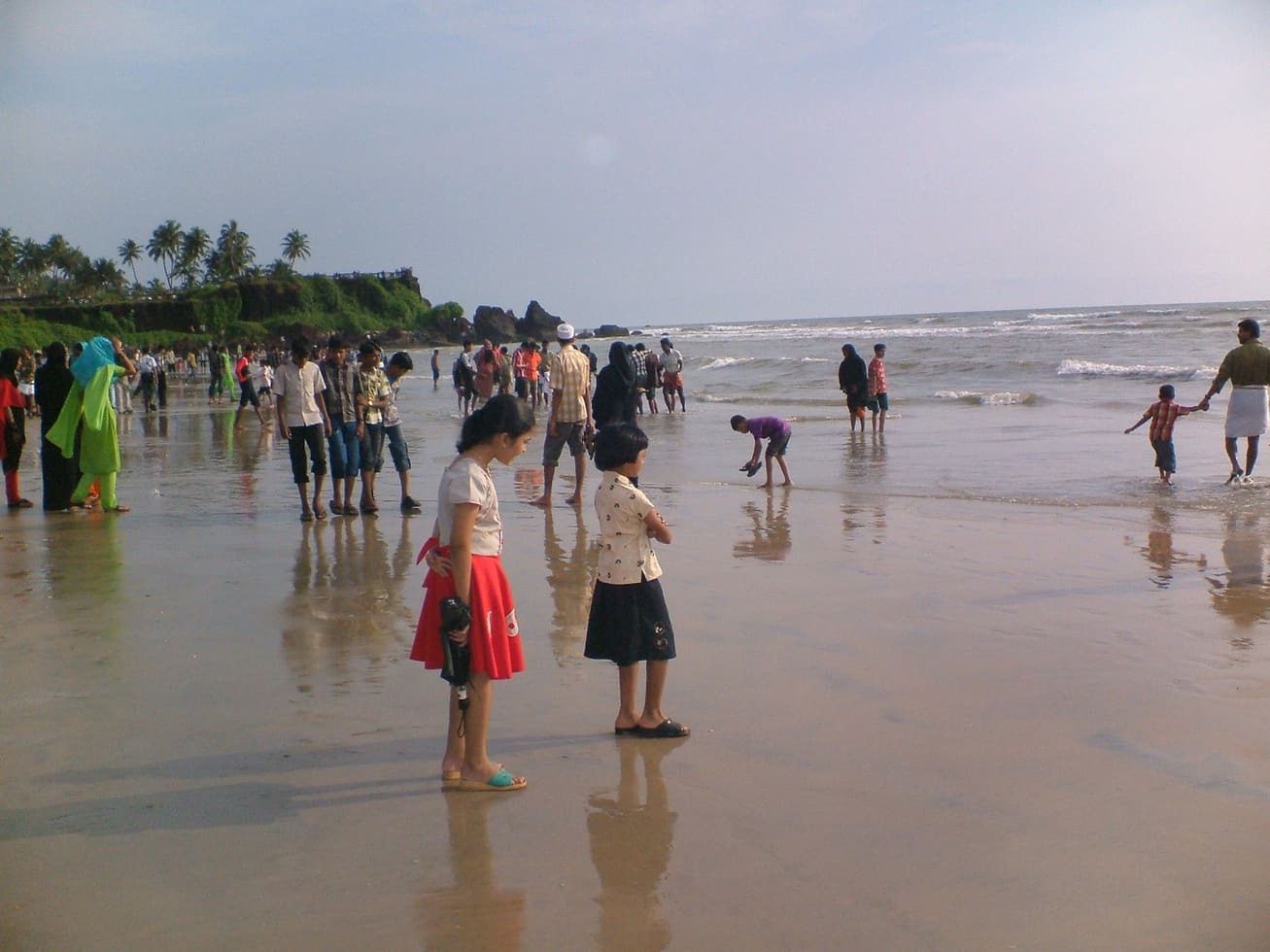
Kannur city’s main beach, with a landscaped garden, the mother-and-child sculpture and long sunset walkways.

templeRajarajeswara Temple, Taliparamba

An ancient Shiva temple at Taliparamba, one of the 108 Shiva temples and the Dwadasha Shivalayams of old Kerala; men remove their shirt to enter and photography is restricted.

templeKalarivathukkal Temple

8.1 km · ~13 min by cab

A Bhagavathy temple near Valapattanam regarded as the mother shrine of Kalaripayattu — Kerala’s martial art — where Theyyam is performed; the goddess is guardian of the kalari.

templeKottiyoor Temple

A remote forest Shiva shrine on the Bavali river, site of the ancient 28-day Kottiyoor Vaisakha Mahotsavam pilgrimage; the Akkare shrine has no permanent roof and is open only during the festival.

viewpointEzhimala

A dramatic 286 m headland near Payyannur, now home to the Indian Naval Academy — the hill itself is off-limits, but the beach and views below are open; rich in legend and rare herbs.

viewpointPalakkayam Thattu

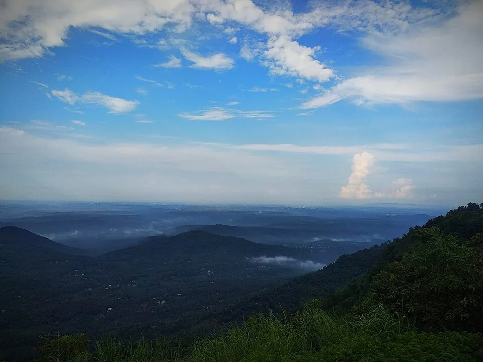
A misty grassland hill viewpoint in the Western Ghats near Kolari, ~3,000 ft, known for cloud-touched meadows, a small waterfall and adventure activities.

heritageTheyyam performances

20.4 km · 27 min drive

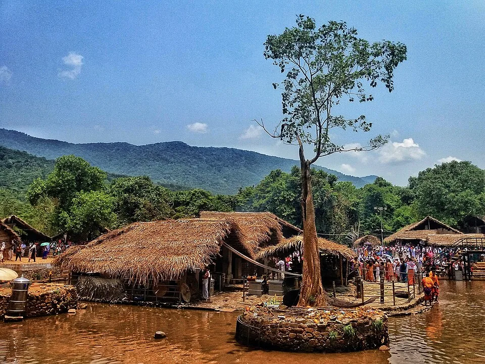
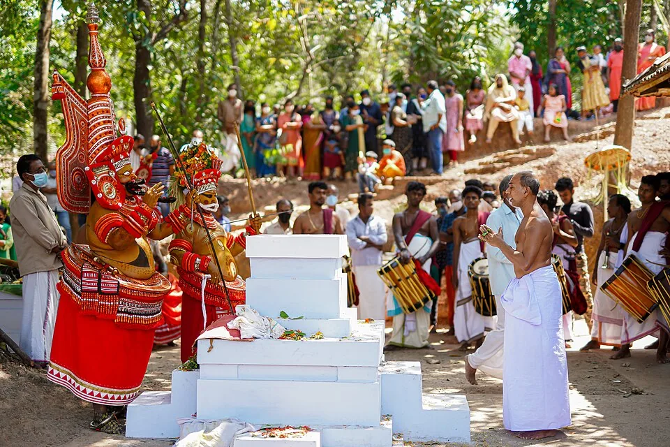
A man of the Vannan or Malayan community is painted, dressed and crowned until the shrine treats him as the deity, and the people who come kneel to someone most of them would not have eaten beside within living memory. The season is set by the Malayalam calendar — the tenth of Thulam, about mid-October, to the middle of Edavam at the end of May — and outside it the kavus are quiet. The exception is Parassinikkadavu, north of the city, where Muthappan is performed most mornings and evenings for most of the year, though it too stops for six weeks each autumn. These are rituals, not ticketed shows.

Roampedia is commission-free — own or know a stay, eatery, guide or shop near St. Angelo Fort? List it and it appears here once verified.

Add a nearby business
Before you go

St. Angelo Fort — at a glance

TimingsGenerally open daily, roughly 8 am to 6 pm.
Best timeOctober to March, when the coastal weather is cool and pleasant; late afternoon into sunset is the most rewarding time for the sea and harbour views.

Entry: Nominal ASI entry ticket — around ₹25 for Indian visitors and a higher rate (about ₹300) for foreign nationals; digital/QR payment is often required.

Dress code: No formal dress code, but light, breathable clothing, a hat and sun protection help — the ramparts are open and exposed to sun and sea breeze; wear comfortable footwear for uneven stone.

Photography: Photography is generally allowed and the red ramparts, cannons and Mappila Bay make excellent subjects; drones and any commercial/tripod shoots may need prior ASI permission (confirm locally).

Getting here

How to reach St. Angelo Fort

  • ✈︎ By air Kannur International Airport (CNN) is the nearest airport, roughly 25–30 km away; taxis and cabs reach the fort in about 45 minutes to an hour.
  • 🚆︎ By train Kannur railway station, a major stop on the coastal line, is only about 3 km from the fort — a 10–15 minute auto or taxi ride.
  • 🚗︎ By road The fort is easily reached by road within Kannur town; well signposted and accessible by private car, cab or auto-rickshaw.
  • 🚌︎ By bus Kannur’s town and KSRTC bus services connect the centre with the Ayikkara/fort area; from the nearest stop it is a short auto ride or walk to the entrance.
Getting back

If you are travelling by bus or ferry, check the return service with the operator before setting out. Leave time to reach the stop or jetty after your visit.

Ask at the bus stand for the time of the last service back, not the next one. If you miss it, an auto or app cab is the fallback — agree the fare before you get in.

Do

Things to do

  • Walk the massive triangular laterite ramparts and climb onto the Dutch bastions (Hollandia, Zeelandia, Frieslandia) for sea views.
  • Inspect the old iron cannons and spot the dry moat and drawbridge line of the landward defences.
  • Look down over Mappila Bay’s natural fishing harbour and watch the boats and nets at work.
  • Visit the restored chapel, the Dutch-era cemetery gravestones and the remains of the early lighthouse.
  • Time your visit for sunset over the Arabian Sea — one of North Kerala’s best fort viewpoints.
  • Combine with the Arakkal Museum right next door to learn the story of Kerala’s only Muslim royal house.
  • Add nearby Payyambalam Beach for a walk and more sunset coast, just a few kilometres away.
Getting around St. Angelo Fort

If you need step-free access, contact the site before travelling. Ask about a level entrance, steps along the route, the nearest drop-off point, seating and accessible toilets.

Practical things near St. Angelo Fort
What the cash actually costs
  • Withdrawing from a bank that is not your own is free for a set number of times a month, then costs up to ₹23 plus GST — about ₹27 a withdrawal. This is not one of the RBI’s six metro centres, so the allowance here is the higher one: at least five free other-bank withdrawals a month, and at least five at your own bank.
  • That free allowance belongs to Indian bank accounts. On a card issued abroad your own bank’s international withdrawal and exchange charges apply instead. If the machine offers to bill you in your home currency, choose rupees — the conversion rate on that offer is set by the machine, not by your bank.
  • Choose a well-lit ATM, preferably at a bank branch. Shield your PIN, avoid help from strangers and use your bank’s support number if a withdrawal fails or the machine retains your card.

Charge cap and free-transaction limits: Reserve Bank of India, in force since 1 May 2025.

These services are listed within about 1.2 km of St. Angelo Fort. Walking distances follow mapped routes; access and opening hours can change. Other services may be closer but are not included here.

Nearby

What’s near St. Angelo Fort

museumArakkal Museum

The Arakkal Kettu (palace museum) of the Arakkal Ali Rajas — Kerala’s only Muslim royal house, matrilineal so ruled at times by a Beevi (queen).

1.2 km · 14 min walk
beachBaby Beach

A small rocky beach in the Kannur cantonment, an extension of Payyambalam and within a few minutes of St Angelo’s Fort and the Kannur lighthouse. Not a swimming beach — the draw is the rocks, the quiet and the lighthouse beam after dark.

1.4 km · 17 min walk · straight line
beachAdikadalayi Beach

Adikadalayi Beach, also called Kadalayi Beach in Kerala’s coastal tourism study, is a Kannur shore with sandy pockets, exposed red coastal rock and palms above the water. It belongs to the Adikadalayi locality, not the separately named Thottada, Kizhunna or Ezhara beaches farther along the coast. Use the mapped public steps from Tippu Sulthan Beach Road as the arrival reference. Nearby cliff-side homestays have their own entrances and facilities, and should not be used as assumed public access.

2.9 km · ~7 min by auto · straight line
beachPayyambalam Beach

Kannur city’s main beach, with a landscaped garden, the mother-and-child sculpture and long sunset walkways.

3.9 km · 6 min drive
beachThottada Beach

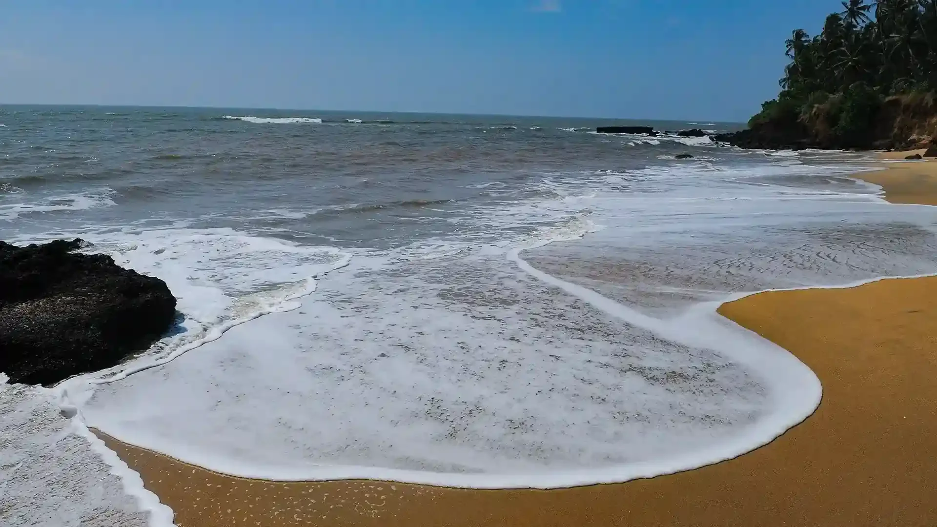
A quiet, unspoilt cove-and-stream beach south of Kannur city, known for its homestays and calm, uncrowded sands.

4.2 km · ~11 min by auto · straight line
beachKizhunna Beach

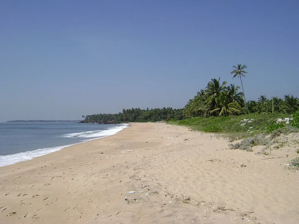
Kizhunna’s sandy shore lies between Thottada and Ezhara, with palm-backed village edges and the Cherakallu rock formations breaking up the coastline.

5.1 km · ~13 min by auto · straight line
templeKalarivathukkal Temple

A Bhagavathy temple near Valapattanam regarded as the mother shrine of Kalaripayattu — Kerala’s martial art — where Theyyam is performed; the goddess is guardian of the kalari.

8.1 km · ~13 min by cab · straight line
beachMuzhappilangad Drive-in Beach

A ~4 km hard-sand beach, the longest drive-in beach in India — you can drive along the sand at low tide; Dharmadam Island lies just offshore.

10.0 km · ~17 min by cab · straight line
islandDharmadam Island

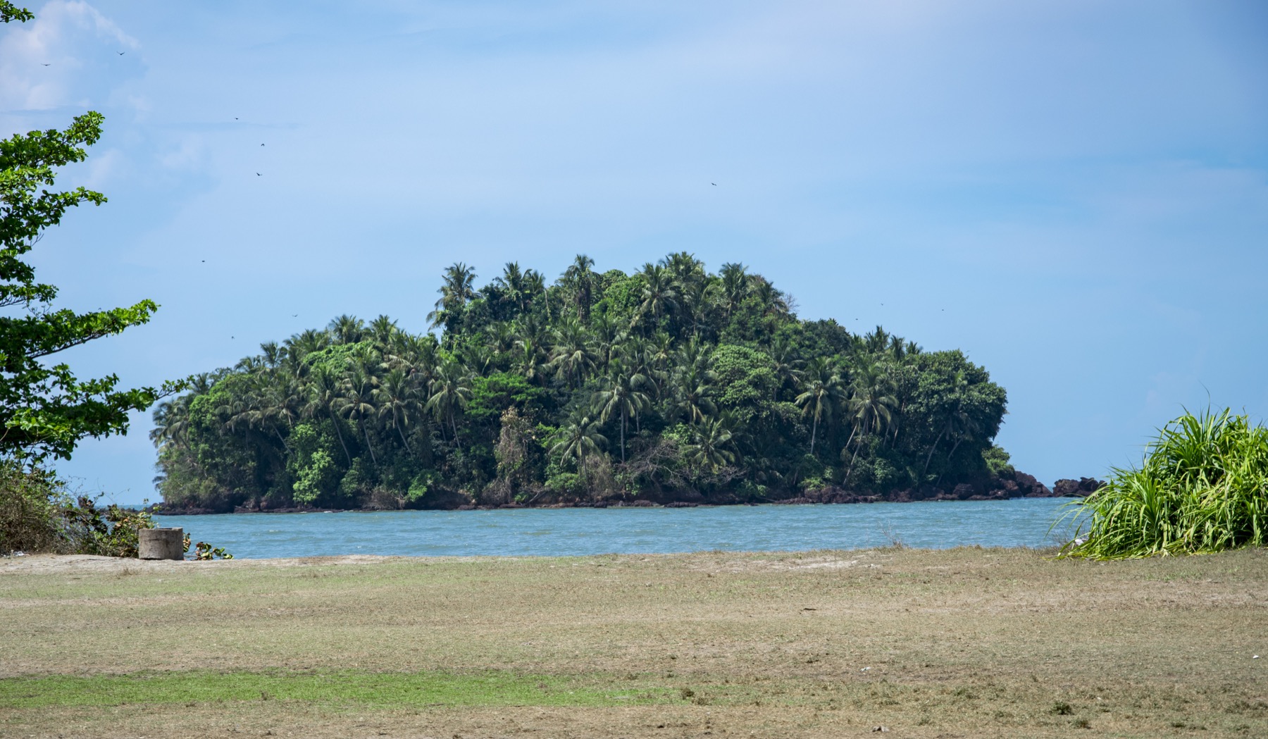
A small green private island off Muzhappilangad, reachable on foot across the sand at low tide (viewing only; landing is restricted).

12.7 km · ~21 min by cab · straight line
templeParassinikadavu Muthappan Temple

On the Valapattanam river, the temple of Muthappan — where the Muthappan Theyyam is performed morning and evening on nearly every day of the year, and where entry is open to all castes and religions; a snake park is nearby. The exception is the six weeks from the first of Thulam to the fifteenth of Vrischikam, when it stops, and the ritual year begins again with Puthari Thiruvappana around the first of December.

14.7 km · ~24 min by cab · straight line
heritageGundert Bungalow

At Illikkunnu near Thalassery, the hillside home of the German missionary-scholar Hermann Gundert, who compiled the first Malayalam–English dictionary and grammar here in the mid-1800s.

15.3 km · ~25 min by cab · straight line
heritageTheyyam performances

The ritual season of north Malabar, in which a man of the Vannan or Malayan community is dressed, painted and crowned until the shrine treats him as the deity itself. It runs from the tenth of Thulam, about mid-October, to the middle of Edavam at the end of May, at kavus and household shrines rather than on any stage, and the peak is January to April. Outside the season the kavus are quiet — the exception is Parassinikkadavu, north of the city, which performs Muthappan on a fixed daily schedule and is the anchor this page is pinned to.

20.4 km · 27 min drive

All 4 places to visit in Kannur city →

Walking and driving times are real routed distances, except the few marked “straight line”, which are direct-line estimates and will read short. Fare figures are estimates from Kerala’s notified auto/taxi tariff and exclude waiting and night charges. Routing: © openrouteservice.org by HeiGIT | Map data © OpenStreetMap contributors

Nearby toilets, pharmacies, ATMs, seating and vets are community-mapped and may be incomplete or out of date. Map data © OpenStreetMap contributors | Walking times © openrouteservice.org by HeiGIT

On the map

Where St. Angelo Fort is

Good to know

St. Angelo Fort — frequently asked

Who built St Angelo Fort and when?

The Portuguese built it in 1505 on the orders of Dom Francisco de Almeida, the first Portuguese Viceroy of India. The foundation stone was laid on 24 October 1505 and a timber fort was finished within days; it was rebuilt in stone from 1507.

Why is it also called Kannur Fort?

It stands on the northern edge of Kannur town, so locally it is simply Kannur Kotta or Kannur Fort. ‘St Angelo’ (also written St. Angelo’s Fort) is the older European name; both refer to the same laterite sea-fort.

How did the fort change hands over the centuries?

The Portuguese held it from 1505; the Dutch captured it on 15 February 1663 and added its three bastions; in 1772 the Dutch sold it to the Ali Raja of the Arakkal royal family; and in 1790 the British took over, making it their chief military station in Malabar until 1947.

Is there an entry fee, and what are the timings?

St Angelo is an ASI-protected monument. It is generally open daily from around 8 am to 6 pm with a small entry ticket (roughly ₹25 for Indian visitors and more for foreign nationals). Timings and fees can change, so confirm locally before your visit.

What is there to see inside?

The triangular laterite ramparts and Dutch bastions, old iron cannons, a dry moat, a restored chapel, the remains of an early lighthouse, and a Dutch-era cemetery — plus superb views over Mappila Bay fishing harbour and the Arabian Sea.

What else is nearby?

The Arakkal Museum sits right next to the fort (about 1 km), and Payyambalam Beach is roughly 3 km away, so the three combine well into a single Kannur outing.

When is the best time to visit St. Angelo Fort?

October to March is best for Kannur sightseeing, with Theyyam season adding strong cultural value across the district.

What are the entry fee and timings at St. Angelo Fort?

Entry: Nominal ASI entry ticket — around ₹25 for Indian visitors and a higher rate (about ₹300) for foreign nationals; digital/QR payment is often required. Timings: Generally open daily, roughly 8 am to 6 pm.

How do I reach St. Angelo Fort?

Base in Kannur city; the fort is a short local ride from the railway station and beach areas. Visit in the morning or late afternoon for better light and less heat on the exposed ramparts. Pair it with a beach sunset or museum stop rather than rushing across multiple distant Kannur sights.

How much time do I need for St. Angelo Fort?

1 to 2 hours for the fort; half day with nearby city stops.

What else is near St. Angelo Fort?

Nearby you can pair Arakkal Museum (1.2 km), Baby Beach (1.4 km), Adikadalayi Beach (2.9 km), Payyambalam Beach (3.9 km).

What should I know before visiting St. Angelo Fort?

Stay away from rampart edges and closed sections. Use marked parking and avoid obstructing narrow access roads. Respect protected-monument rules and posted photography restrictions.

Image credits

Photographs: MANOJTV at en.wikipedia (CC BY-SA 3.0), Edukeralam (CC BY-SA 4.0), Navaneeth Krishnan S (CC BY-SA 4.0). Wikimedia Commons.