What to expect
Highlights
- Viewpoint stop at Chadayamangalam hill views
- Photography and landscape views
- Good add-on to nearby town or hill routes
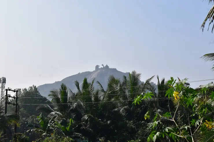
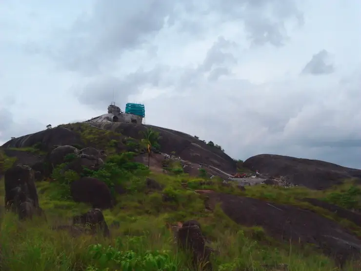
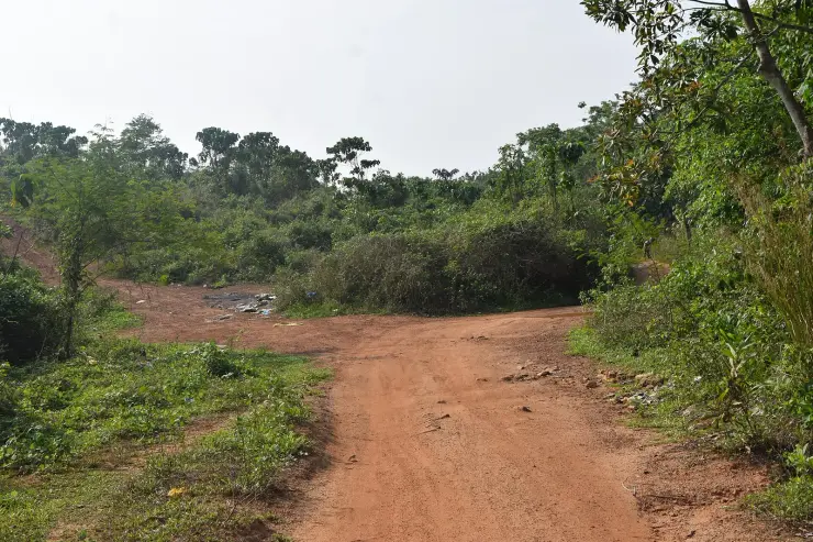
The rock outcrops and open high ground around Chadayamangalam, looking over the country between Kollam and the ghats — the landscape the Jatayu sculpture sits in, seen from ground level and without a ticket. The bare domes here are crystalline basement rock, not the laterite that mantles the ground between them.
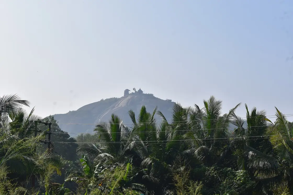
Everybody stops at Chadayamangalam for the giant sculpture on the rock. Almost nobody looks at the rock. The country around it — red laterite ground with bare crystalline domes standing out of it, long views towards the ghats, and a landscape that explains why a story about a falling bird got attached to this place — costs nothing and is the better half of the stop.
Chadayamangalam sits on the MC Road between Kollam and Thiruvananthapuram, in the belt of low hills and bare rock domes that runs inland from the coast before the ground starts climbing seriously towards the Western Ghats. The country here is distinctive: rounded rock outcrops standing above scrub and rubber, red laterite soil, and a lot of sky.
The high ground gives you long views in both directions — east towards the rising line of the ghats, west across the lower country towards the coastal plain. On a clear morning after rain the visibility is genuinely good; in the hot months it hazes over and the views shorten considerably.
What makes this worth a stop rather than a glance is the relationship between the landscape and the story. Jatayu — the vulture of the Ramayana who tried to stop Ravana carrying off Sita, and fell here mortally wounded — gives Chadayamangalam its name and its famous sculpture. Standing on the open rock, looking at these isolated outcrops rising out of otherwise unremarkable country, you can see exactly why this particular place attracted that particular story. Landscape produces legend, and here the production is legible.
One honest qualification on the views, because we have promised them twice above and the photographs argue with us a little. The best surviving photograph taken from the summit shows rolling low green country receding into haze in every direction — a wide, soft, genuinely lovely horizon, but not a wall of mountains. The Western Ghats proper begin well to the east of here, and on most days what you are looking at is the inland midland belt rather than a ghat skyline. On a clear morning after rain the far ridges do come up; on an ordinary hazy afternoon they do not. Come for the space and the light rather than for a mountain view, and you will not be disappointed.
There is no infrastructure. No path, no railing, no sign, no ticket. You park where you can on the road and walk up onto open ground. That is the appeal for some people and a complete non-event for others, and it is worth knowing which you are before you make the detour.
The obvious pairing is with the Jatayu Earth's Center itself, which is the ticketed park with the sculpture and the cable car. Doing the free ground first and the park second gives you the landscape and then the interpretation, in that order, which is the right way round.
Two things everyone prints about this place are wrong, and they are wrong in the same way: nobody ever checked them.
The first is the height. English Wikipedia and OpenStreetMap put Jatayupara at 350 metres (1,150 ft) above mean sea level. Malayalam Wikipedia says 1,200 feet, while the Kerala travel press and the sculptor on the operator’s site say 1,000 feet. The published figures do not agree.
We measured it. Querying four independent global elevation models on 15 August 2026 at the summit cell gives 184 m (NASA SRTM-30m), 184 m (Mapzen/Terrain), 170 m (SRTM-90m) and 159 m (ASTER-30m), against a town floor at Chadayamangalam of 52 to 59 m. So the summit is roughly 180 metres above sea level, and the rock stands about 125 metres above the country around it. The most-cited published figure is nearly double. Two of the world’s independently produced elevation models — one radar, one optical — agree with each other within 25 metres and disagree with Wikipedia by 166. A 30-metre model can shave a metre or two off a narrow pinnacle; it cannot lose 166 metres from a hill five hundred metres across.
Note the shape of that error, because it is not the usual one. This is not a feet figure misprinted as metres, which is what happened when Kerala Tourism published Kakkayam at “2500 m”. Here a wrong metric number was converted correctly into feet, so it looks internally consistent and passes inspection. That is precisely why it has propagated for years. The tell is that two languages of Wikipedia give different heights for the same rock while agreeing on its position to within 150 metres — the signature of a number that was asserted rather than measured.
The second is the name, and here the correction is more interesting than a debunk. Everyone writes that Chadayamangalam means the place where Jatayu fell — Kerala Tourism, every travel site, the park’s own marketing, and this page until now. The historical reading runs the other way. Historians trace the settlement to the eighth or ninth century and to the Ay–Pandya conflict rather than to the epic: Chadayan is a ruler’s name, borne by the Pandya king Jatila Parantaka Nedunjadaiyan (Varagunavarman I, who reigned about 765 to 815 CE and whose conquest of the Ay kingdom is recorded in inscriptions) and by Ay rulers of the same name. Add the suffix -mangalam, which denotes a granted or settled village and appears across dozens of Kerala place-names, and Chadayamangalam is a perfectly ordinary medieval toponym: a named ruler plus a settlement suffix. Nothing in that formation is Ramayanic.
The corroboration sits four kilometres away and we already publish it. The Kottukal rock-cut cave temple is dated by the Kerala Department of Archaeology to the eighth or ninth century and belongs to the Pandyan and Ay rock-cut idiom — the same rulers, the same window. There is also a third reading in circulation deriving Chadayan from Shiva, whose matted locks are jata, which is plausible in a town whose principal village temple is a Mahadeva temple. And jata is also the root of Jatayu’s own name, which is exactly why the two etymologies collapse into each other in retelling.
So the honest correction is not that the legend is false. The legend is a real and living local tradition, and it is what the place means to the people who live here. It is that the direction of derivation has most likely been reversed: a settlement named for a ruler, or for Shiva, acquired a Ramayanic reading of its own name over the centuries — and in 2018 that reading was cast in concrete on top of the rock at a cost of around a hundred crore rupees. The rock got its story from the name at least as much as the name got its story from the rock.
Chadayamangalam lies on the MC Road between Kollam and Thiruvananthapuram, in the belt of laterite ground and bare rock outcrops that runs inland from the coastal plain. Administratively it is a grama panchayat and a block panchayat of the same name, in Kottarakkara taluk of Kollam district, with its own assembly constituency; the block office carries the PIN 691534.
The rock itself is older than anything human by an order of magnitude that is hard to hold in the head. Jatayupara is an inselberg — a resistant dome of crystalline basement rock left standing while the softer weathered material around it eroded away. It belongs to the Kerala Khondalite Belt of the Precambrian Southern Granulite Terrain, the charnockite and khondalite basement that produces the whole family of bare rounded outcrops along this inland belt: Jatayupara itself, the domes around Anchal and Kadakkal, and the boulder that the Kottukal cave temple was cut into four kilometres away. The red laterite that gives the district its colour is the weathering crust developed over that basement on the gentler ground — which is why the bare domes are not made of it. They are what it has been stripped off.
The place is traditionally identified with the fall of Jatayu, the vulture of the Ramayana who attempted to prevent Ravana carrying Sita away and was mortally wounded in the attempt — a tradition from which the settlement's name is generally derived.
The rock outcrop associated with the story, Jatayu Para, is the dominant landform of the immediate area.
In the twenty-first century the site was developed as the Jatayu Earth's Center, a ticketed park incorporating a monumental sculpture of the fallen bird together with a cable car and adventure facilities — the development that gave Chadayamangalam its current national profile.
The open high ground and outcrops around the park remain unenclosed and freely accessible — a distinction worth keeping clear, because the ticketed park occupies the summit and the sculpture, while the landform, the approach and the country it stands in do not belong to anybody’s gate. Our own map got this wrong until August 2026: this page was pinned on the sculpture itself, which put a page about free ground inside the paid park’s fence. There is no surveyed public viewpoint anywhere on the hill, so the pin is now an explicit locality centroid on open ground to the north, and the views this page is about are the ones you find from the roads and the fields rather than from a marked lookout.
It is free, and it is the landscape that produced the legend the ticketed park interprets.
You get the rock as a landform — a Precambrian crystalline dome standing 125 m out of coconut country — rather than as a plinth for a sculpture, which is the more remarkable of the two things on this hill.
Long views east towards the rising ghats and west across the lower country, best on a clear morning after rain.
Standing at the foot of a bare crystalline dome makes the Jatayu tradition make sense in a way the sculpture alone does not.
It takes an hour on a drive you were making anyway, between Kollam and Thiruvananthapuram on the MC Road.
And it is empty, because everyone else is inside the park paying for the cable car.
Road km to Kollam; ghat roads and traffic vary — allow extra.
Clear post-monsoon and winter days are best; mist can block views in hill areas.
Live forecast loads in your browser.
Check the official alert before you travel. Kerala’s beaches, waterfalls and trekking routes close at short notice during heavy rain, and district alert levels change day to day. We do not publish an alert level of our own — read it from the state authority: Kerala State Disaster Management Authority, or the district control room on 1077.
Sun and moon are calculated for this location and shown in IST. Photography windows are the hour around sunrise and sunset; the sunset bearing is degrees clockwise from true north. Moon phase is accurate to about half a day.
Verified hotels, homestays, restaurants, experiences, sights, shops and rentals around Chadayamangalam hill views — commission-free, with direct contact. Filter by what you need.
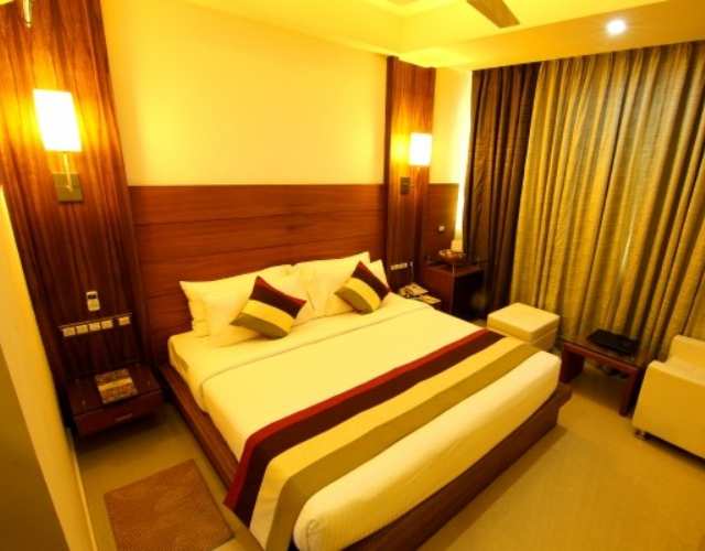
Hotel beside the Chadayamangalam/Jatayu route on State Highway 1 with restaurant and road-trip access.
Book with the place itself. India’s cyber-crime coordination centre warned in April 2025 that convincing copies of hotel and pilgrimage booking sites are being pushed through sponsored search and social ads, taking payment for rooms the property never hears about. Every listing here links to the business’s own contact details and its own Google or Bing profile — we take no commission and sit in nobody’s payment path. If a booking page reached you through an ad, check the address bar against the property’s own site before you pay. Fraud can be reported on cybercrime.gov.in or on 1930.
Find food, accommodation and activities across Chadayamangalam. Browse the guides for places to eat, stay and explore along your route.
3 more places around Chadayamangalam. Open a guide to plan the visit and onward journey.
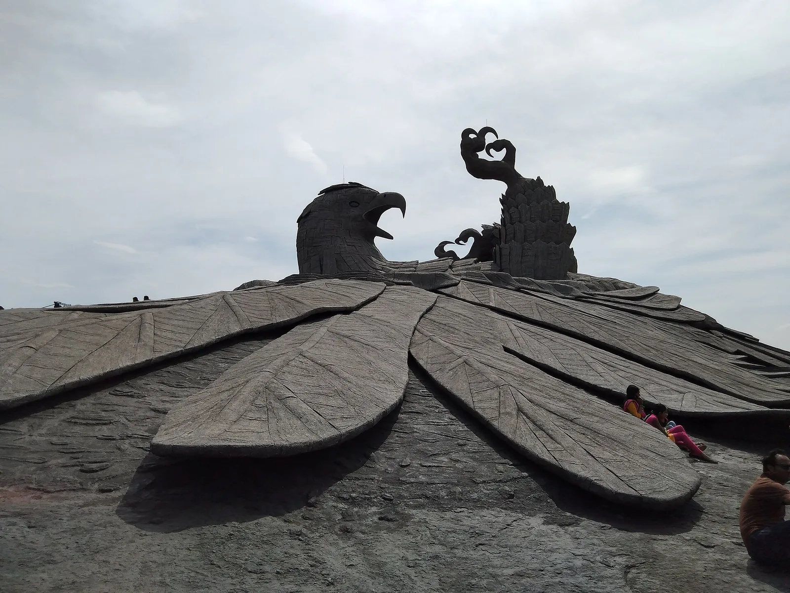
1.0 km · 12 min walk
Hilltop sculpture park and viewpoint at Chadayamangalam, home to the world’s largest bird sculpture, reached by cable car.
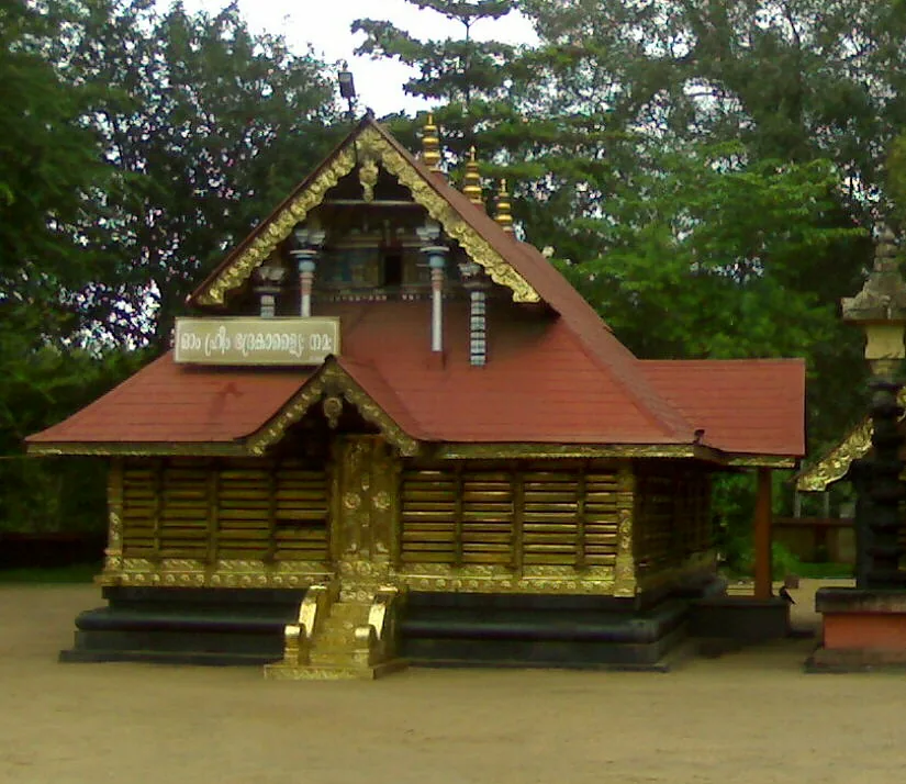
1.9 km · 23 min walk
A short drive linking the named temples around Chadayamangalam: the Kottukkal rock-cut cave, the four-temple complex around one pond at Kadakkal, and the sacred groves, serpent shrine and kalari shrine of the surrounding belt.
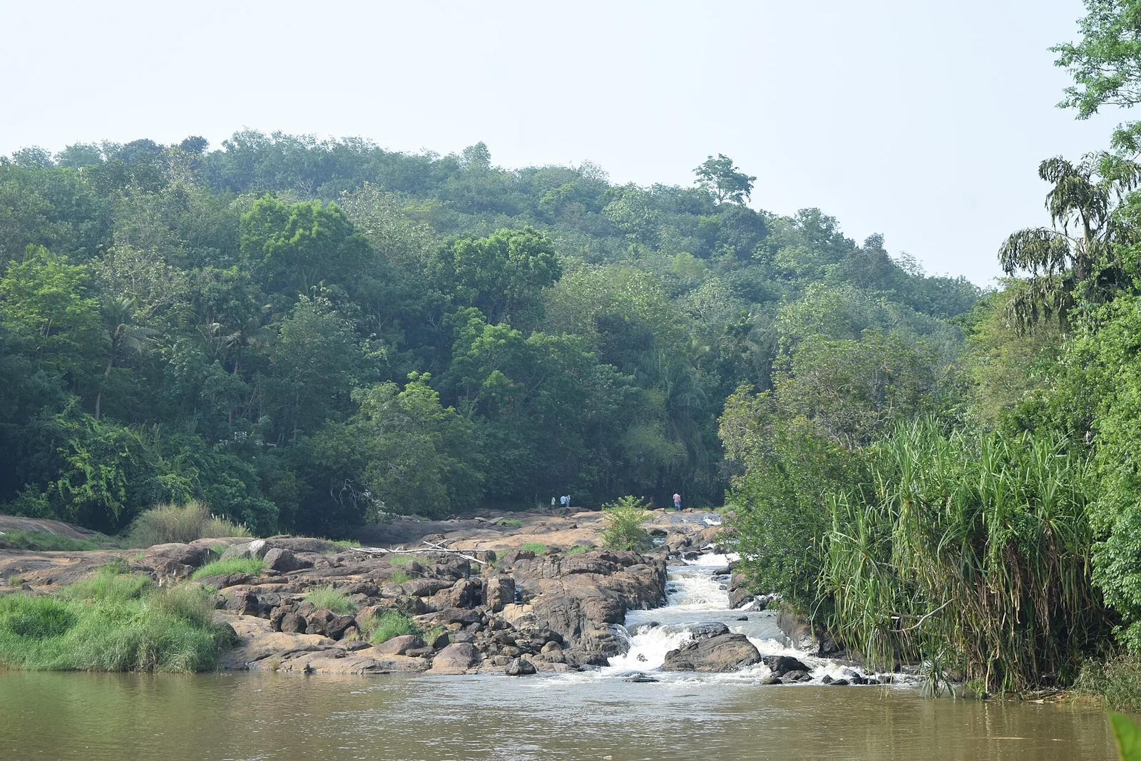
4.9 km · ~12 min by auto
A wide rock apron on the Ithikkara near Kalladathanni, where the river slides and braids rather than plunges — DTPC Kollam’s own description is “a small waterfall that does not particularly fall”. Free, unstaffed and unsigned, about 200 m on foot through a rubber estate. ⚠ No lifeguard and no railings; the local name Vattakayam means the round deep pool.
Roampedia is commission-free — own or know a stay, eatery, guide or shop near Chadayamangalam hill views? List it and it appears here once verified.
Add a nearby businessEntry: Free. The open high ground and rock outcrops around Chadayamangalam carry no charge — this is the landscape around the ticketed Jatayu park, not the park itself.
If you are travelling by bus or ferry, check the return service with the operator before setting out. Leave time to reach the stop or jetty after your visit.
Ask at the bus stand for the time of the last service back, not the next one. If you miss it, an auto or app cab is the fallback — agree the fare before you get in.
If you need step-free access, contact the site before travelling. Ask about a level entrance, steps along the route, the nearest drop-off point, seating and accessible toilets.
Charge cap and free-transaction limits: Reserve Bank of India, in force since 1 May 2025.
These services are listed within about 1.2 km of Chadayamangalam hill views. Walking distances follow mapped routes; access and opening hours can change. Other services may be closer but are not included here.
Emergency numbers are verified against official government and state tourism sources. 112 works anywhere in India.
Hilltop sculpture park and viewpoint at Chadayamangalam, home to the world’s largest bird sculpture, reached by cable car.
1.0 km · 12 min walkA short drive linking the named temples around Chadayamangalam: the Kottukkal rock-cut cave, the four-temple complex around one pond at Kadakkal, and the sacred groves, serpent shrine and kalari shrine of the surrounding belt.
1.9 km · 23 min walk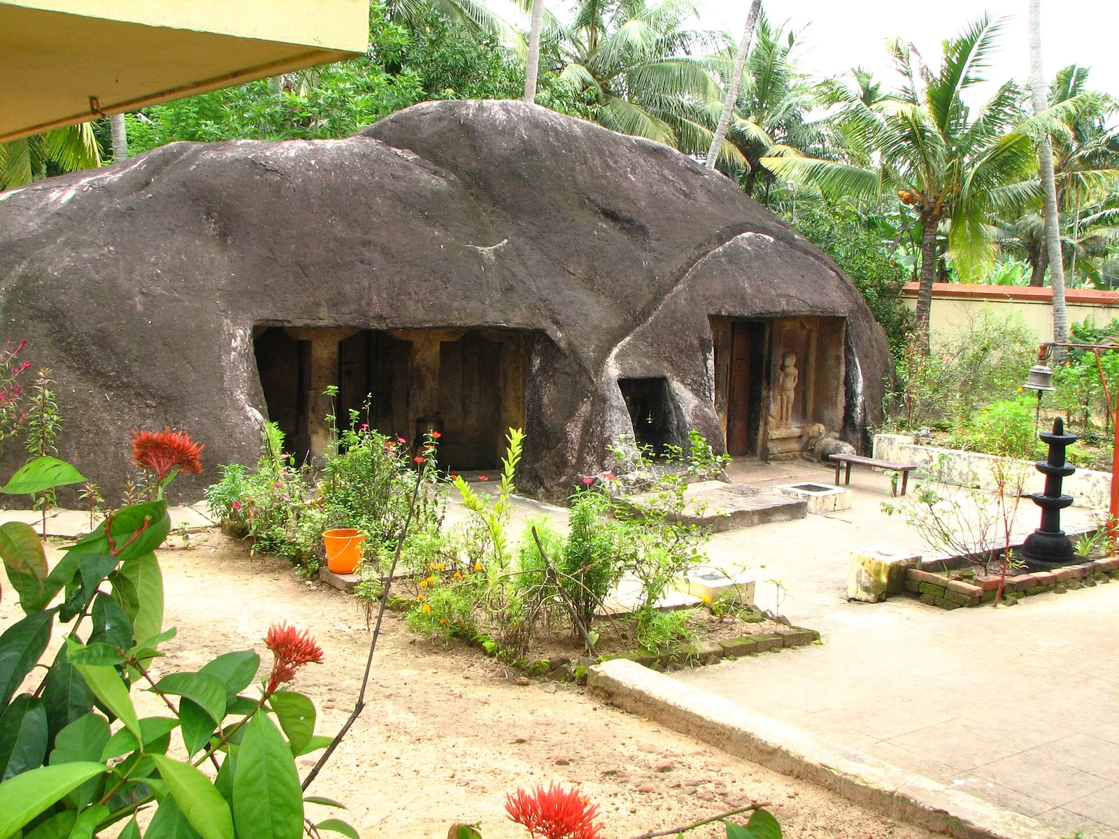
A monolithic rock-cut cave temple near Anchal/Kadakkal in south Kollam, carved with a Shiva shrine.
4.7 km · ~12 min by auto · straight lineA wide rock apron on the Ithikkara near Kalladathanni, where the river slides and braids rather than plunges — DTPC Kollam’s own description is “a small waterfall that does not particularly fall”. Free, unstaffed and unsigned, about 200 m on foot through a rubber estate. ⚠ No lifeguard and no railings; the local name Vattakayam means the round deep pool.
4.9 km · ~12 min by auto · straight line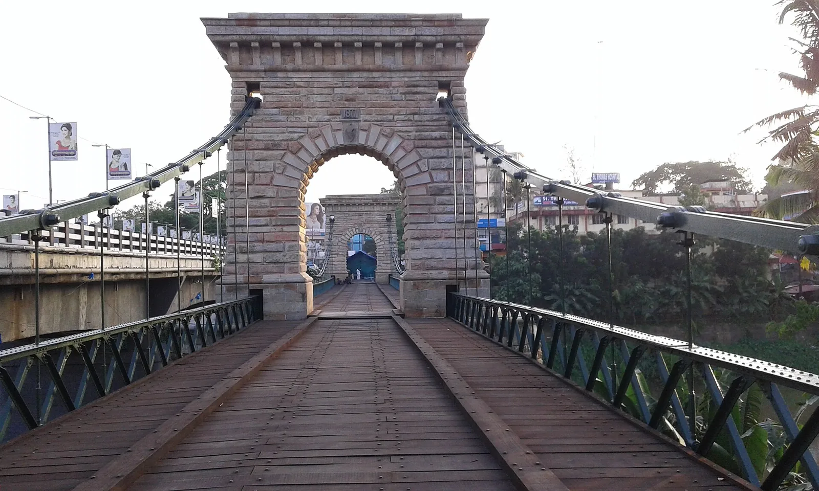
A rare 1877 Travancore-government suspension bridge over the Kallada river at Punalur, in east Kollam on the way to the ghats.
17.8 km · ~30 min by cab · straight lineA community-linked forest and wetland visitor area near Madathara, used for guided birding and nature walks rather than an unrestricted independent forest excursion.
18.1 km · ~30 min by cab · straight line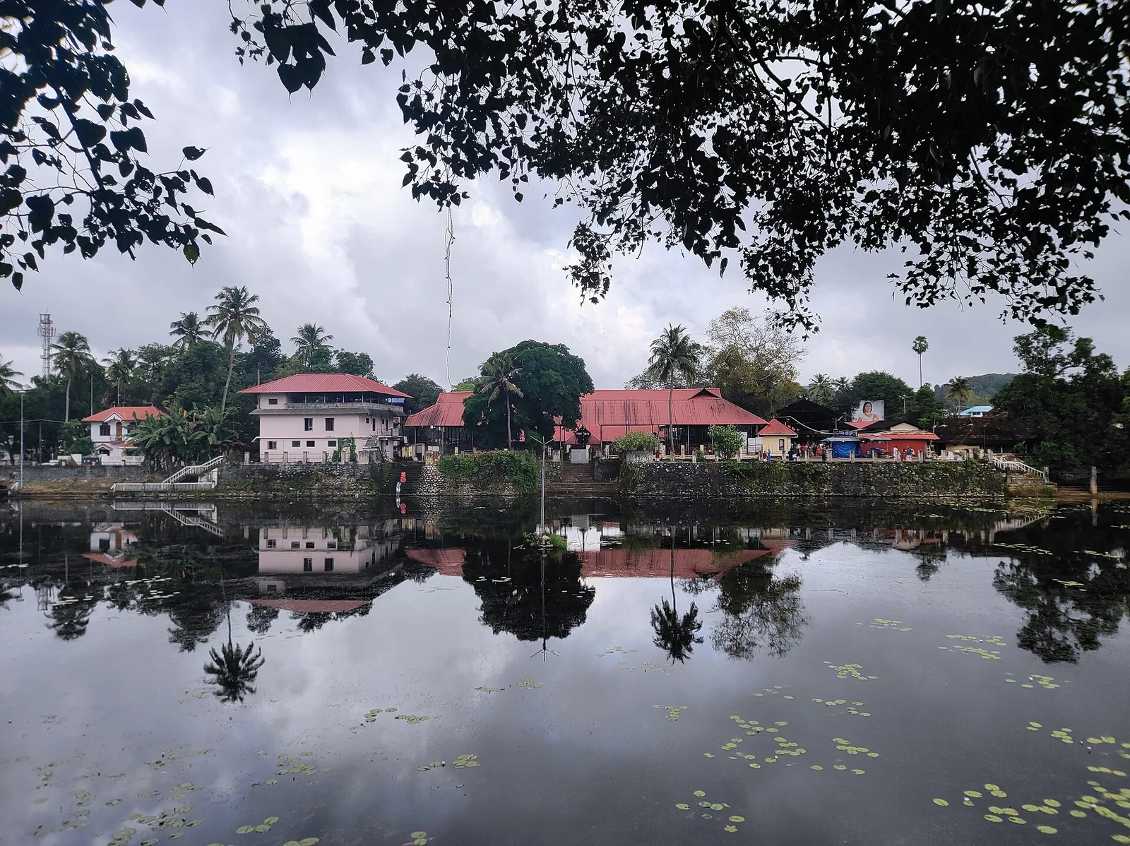
A large temple beside its own tank at Kottarakkara, where the central deity is Shiva but the sub-shrine to his son gives the place its name and its fame; the offering is unniyappam. The Kottarakkara Thampuran credited with Ramanattam, the immediate ancestor of Kathakali, is memorialised in the same town.
18.2 km · ~30 min by cab · straight line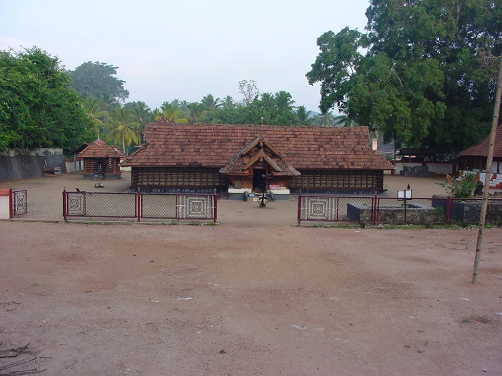
The Sastha temple on the Kollam–Shencottai road where the god is Bala Sastha, the child, and the river alongside is full of protected fish the devotees call Thirumakkal — the sacred children of the lord. Feeding them puffed rice, meenoottu, is the temple’s characteristic offering and fishing is prohibited outright; one of the two species present, Hypselobarbus thomassi, is critically endangered and endemic to the Western Ghats. Named in every published version of the Pancha Sastha. Three 15th-century sculptures from here are in the Napier Museum, Thiruvananthapuram.
21.3 km · ~35 min by cab · straight line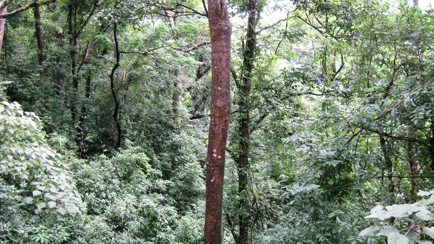
Twenty Forest Department programmes in the Shendurney Wildlife Sanctuary — walks of one to six hours, a dawn birding trail, boat and vehicle safaris and four camps — booked at the wildlife office at Thenmala. Rates are per group and include 18% GST.
23.5 km · ~39 min by cab · straight line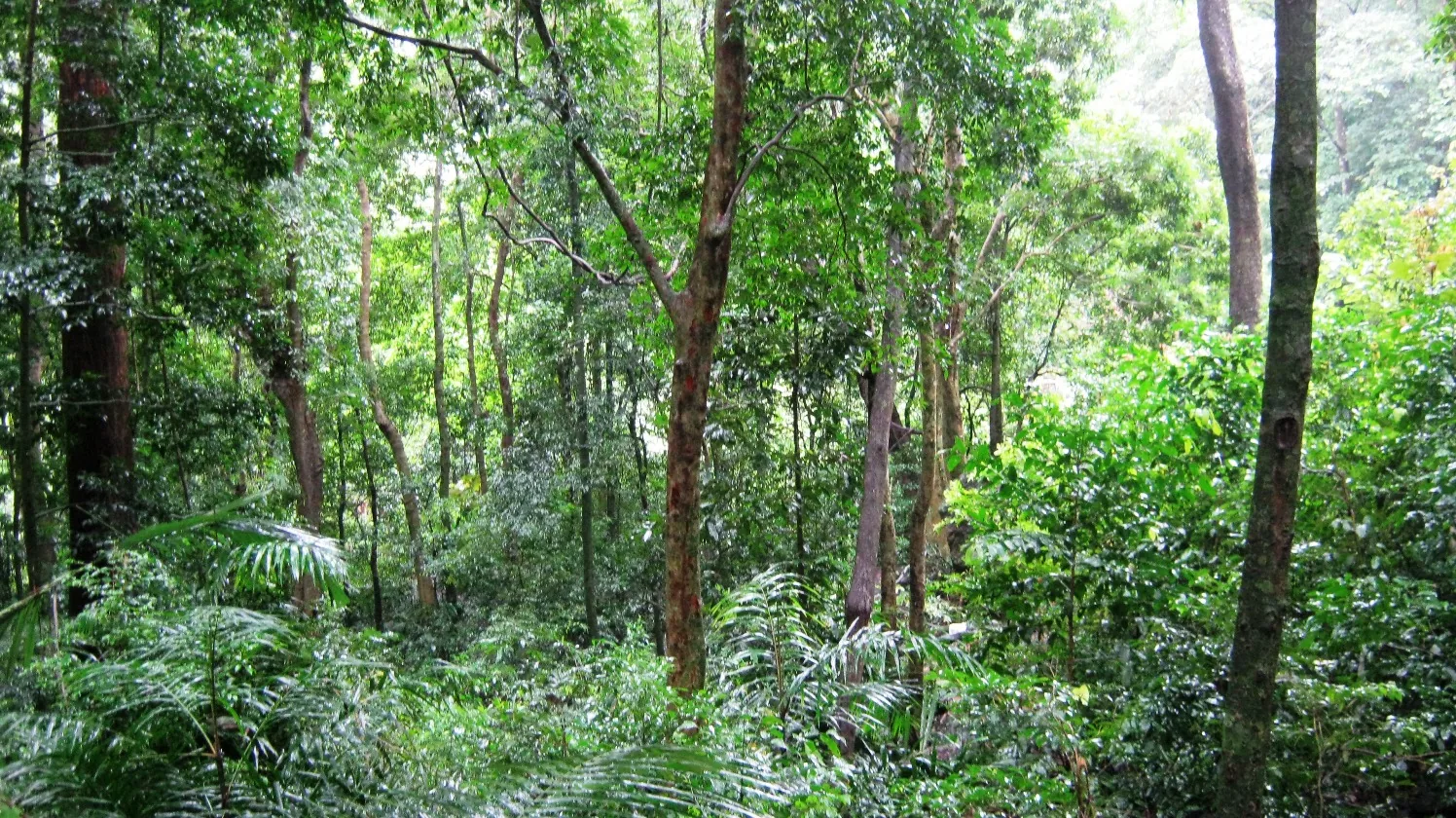
A protected evergreen forest in the Agasthyamalai Biosphere Reserve east of Thenmala, named for the Chenkurinji tree and centred on the Parappar reservoir.
23.5 km · ~39 min by cab · straight line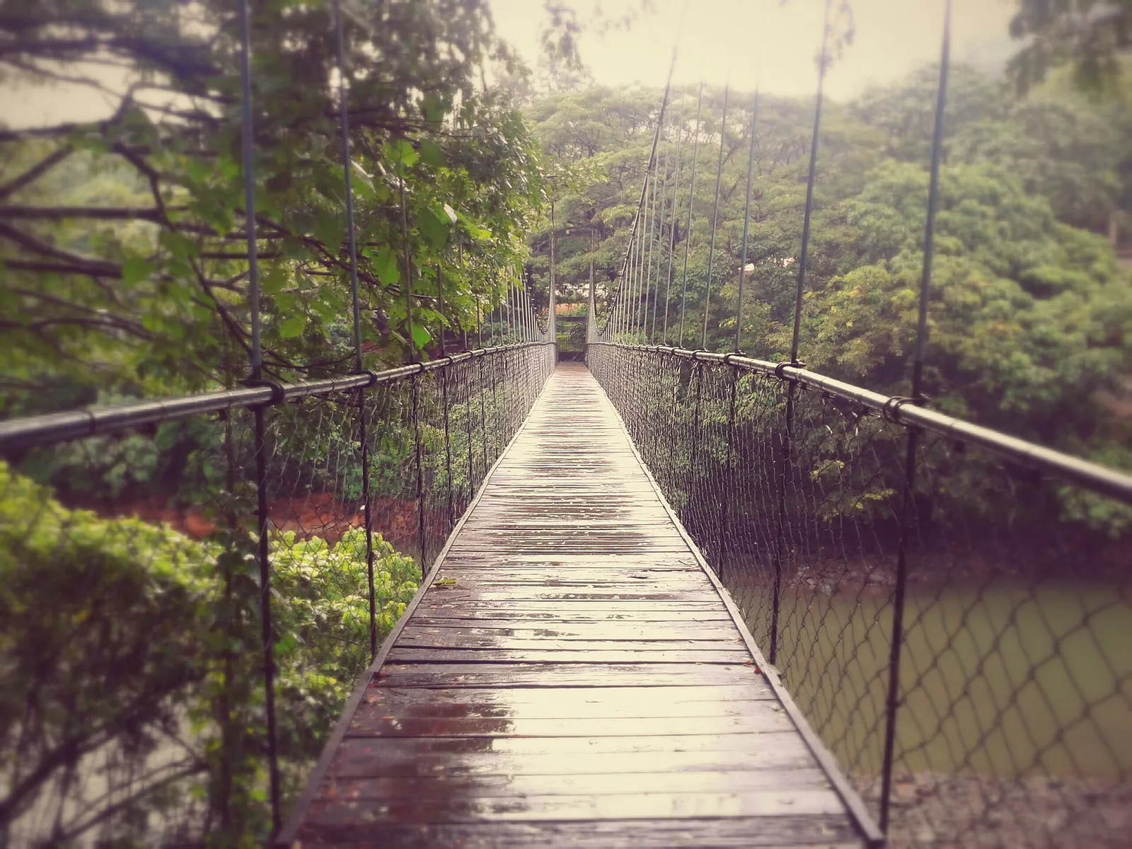
Eco-tourism area with forest walks, dam views and adventure activities.
23.7 km · ~39 min by cab · straight line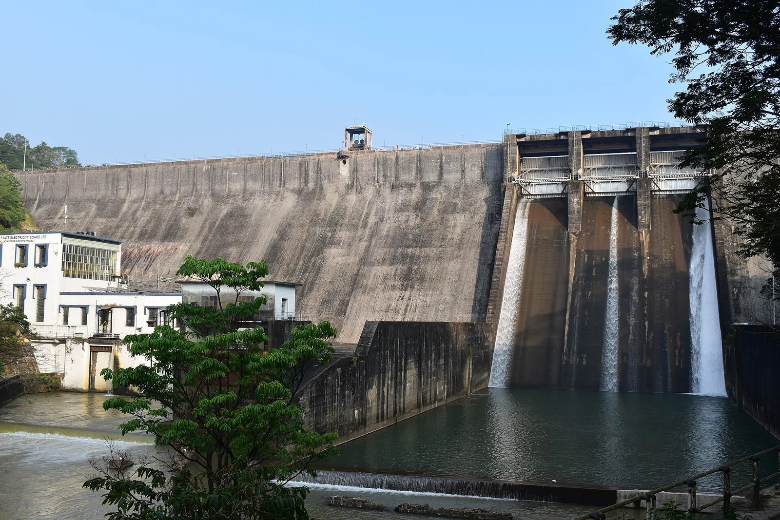
The Parappar dam across the Kallada river at Thenmala, built for irrigation — the reservoir behind it is the water the eco-tourism area is built around, and the catchment upstream is Shendurney sanctuary.
24.1 km · ~40 min by cab · straight lineWalking and driving times are real routed distances, except the few marked “straight line”, which are direct-line estimates and will read short. Fare figures are estimates from Kerala’s notified auto/taxi tariff and exclude waiting and night charges. Routing: © openrouteservice.org by HeiGIT | Map data © OpenStreetMap contributors
Nearby toilets, pharmacies, ATMs, seating and vets are community-mapped and may be incomplete or out of date. Map data © OpenStreetMap contributors | Walking times © openrouteservice.org by HeiGIT
No. The Earth's Center is the ticketed park with the monumental sculpture, cable car and adventure facilities. This is the free open ground and rock outcrops around it. Doing the free landscape first and the park afterwards gives you the setting and then the interpretation, which is the better order.
In the Ramayana, an old vulture who attacked Ravana in flight as he carried Sita away south, and was mortally wounded when Ravana cut off his wings. He survived long enough to tell Rama which way Sita had been taken. He is one of the few figures in the epic who fails entirely and is honoured absolutely for having tried.
No, and this is a growing misconception. The rock is old and the tradition is old; the monumental sculpture was completed in the 2010s as part of a tourism development. Chadayamangalam's current national profile is twenty-first century.
No, and the numbers say so plainly. The summit is about 180 m above sea level — roughly 125 m above the country around it — against published figures of 350 m and 1,000 to 1,200 feet that we could not reproduce against any elevation model. This is low country with bare rock outcrops standing out of it, not an elevation with its own climate. Anyone arriving expecting something like Ponmudi will be disappointed — the interest is the landform and the views, not the altitude.
Neither. There is no path, railing, sign or ticket — you park on the road and walk onto open ground. Wear shoes with grip, keep back from edges, carry water, and note there is no shade at all.
Early morning or late afternoon; the middle of the day on bare rock is punishing. November to February gives the clearest air, and visibility shortens considerably in the hot months.
An hour is enough, or two if you walk properly up onto the rock. It fits neatly into a drive between Kollam and Thiruvananthapuram on the MC Road without needing to be planned as a destination in its own right.
Both, in different places, and the distinction is the best thing to know before you come. Laterite is the deep red, iron-rich weathering crust that mantles the gentler ground across this belt, and it gives the soil and the cuttings their colour. But the bare rounded domes are not laterite. They are crystalline basement — charnockite and khondalite of the Kerala Khondalite Belt, part of the Precambrian Southern Granulite Terrain — and the laterite is what has been stripped off them. An outcrop like Jatayupara is called an inselberg: a resistant mass of old hard rock left standing as the softer weathered material around it erodes away. That is what shapes everything you see, the way vegetation thins on the high ground. The distinctive look of this country is laterite doing what laterite does.
Yes, and it makes the best version of a day here. The open rock, the village shrines on the back lanes and the ticketed Jatayu park are three quite different things within a short distance, and together they fill a day at a place most people give twenty minutes to.
Not on the open ground — there are no facilities at all. Chadayamangalam town on the MC Road has the usual roadside options, and the Jatayu park has its own provision. Bring water regardless; there is no shade on the rock.
Clear post-monsoon and winter days are best; mist can block views in hill areas.
Entry: Free. The open high ground and rock outcrops around Chadayamangalam carry no charge — this is the landscape around the ticketed Jatayu park, not the park itself.
Base yourself in Chadayamangalam or a nearby town in Kollam, then confirm the last-mile route locally before leaving. Go early for clearer light and easier parking; sunset viewpoints can crowd quickly. If the visit depends on forest, temple, boat, ferry, weather or seasonal access, check the official/local rule on the day before travel.
45 minutes to 2 hours.
Nearby you can pair Jatayu Earth’s Center (1.0 km), Local temple trails (1.9 km), Kottukal Cave Temple (4.7 km), Vattathil Waterfalls (4.9 km).
Stay behind barriers and away from cliff edges. Avoid viewpoints during lightning or heavy rain.
Written about Chadayamangalam hill views itself — its history, its legends and the arguments about them.
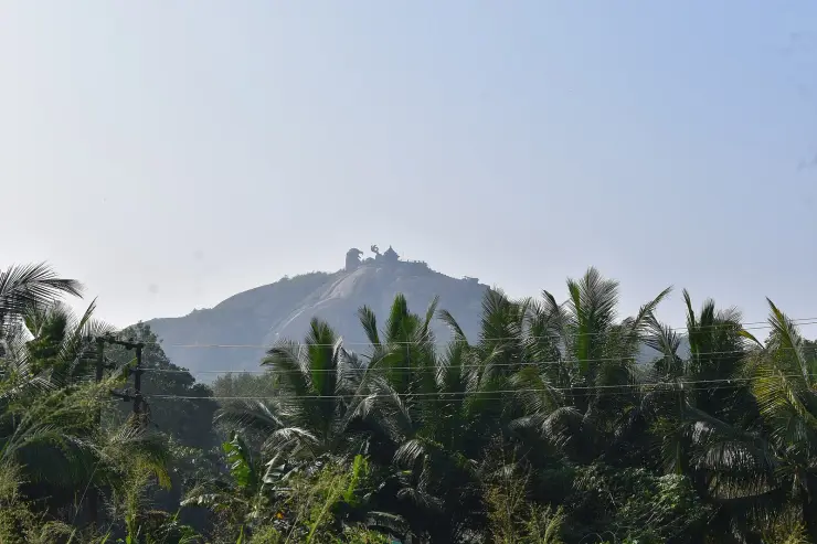
These guides explore Chadayamangalam and the surrounding area. Choose a visit that fits your interests, allowing separately for travel between stops.
Route-level itineraries and practical guides for the rest of Kerala.
Photographs: Vis M (CC BY-SA 4.0), Kiran L Reddy (CC BY-SA 4.0), Akhilan (CC BY-SA 2.5 IN), KalkiRaj (CC BY-SA 4.0), PRITAMDUTTA20 (CC BY-SA 4.0), Chadayamangalam1 (CC BY-SA 4.0), cidfromkerala (CC0), Kumar.kisalaya (CC BY-SA 3.0). Wikimedia Commons.