What to expect
Highlights
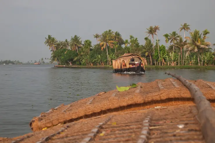
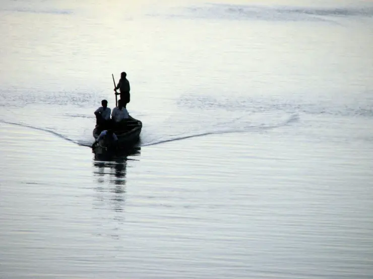
- Boat or canoe routes around Alumkadavu
- Village life, canals and lake/river scenery
- Good fit for homestays and local food stops
The boatyard village on Kayamkulam Kayal where the first Kerala houseboat was designed in 1991 — hulls of anjili wood drawn together with coir on an open bank, three kilometres west of Karunagappally. ⚠ Kerala Tourism places it on Ashtamudi Lake and calls it the birthplace of India’s houseboats; it is on Kayamkulam, and Srinagar’s date from the 1880s. These are private working yards, not a ticketed site — ask before you walk in.
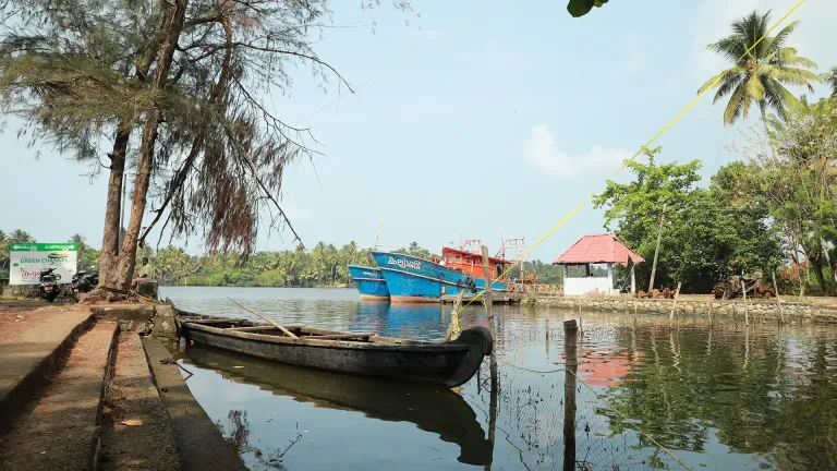
Alumkadavu is a boatyard village on the water about three kilometres west of Karunagappally, and it is the one stop on the Kerala backwaters where the attraction is a workshop rather than a view. Hulls sit half-finished on the bank under palm-thatch shelters, ribs open to the sky, while the boats that left here years ago spend the rest of their lives being photographed somewhere else. Kerala Tourism calls this the birthplace of the houseboat and places it on Ashtamudi Lake. The first is an overstatement of something real; the second is simply the wrong lake. The water at the end of the village is Kayamkulam Kayal, a quarter of a kilometre away. Ashtamudi's nearest mapped edge is ten and a half kilometres south.
There is no gate here, no ticket and no viewing platform, because Alumkadavu is not a site. It is a working stretch of bank where boats are made, and what you have come to look at belongs to somebody who is trying to finish it. The yards run along the water on the western edge of the village, roofed with palm thatch and open at the sides, and at any given time there will be one or two hulls up on blocks in various states of undress — a bare skeleton of ribs, a hull planked but unroofed, a finished boat with its woven cane walls in and its thatch on, waiting to be floated. The scale is the first surprise. A full houseboat runs to something like ninety-five to a hundred and seven feet long and thirteen to nineteen feet across the middle, and seen out of the water, propped on timber, it is very much larger than it looks drifting past a paddy field.
The second surprise is how little machinery there is. Kerala's boat carpentry is a hand trade and it stays one. The wood is anjili, the wild jack (Artocarpus hirsutus), chosen for the specific virtue of not minding water, with jackwood used alongside it; the planks are shaped and edge-joined and drawn tight with cord spun from coconut husk, with coir fibre packed into the seam as caulking; and the classic sealant is a black resin cooked from cashew, brushed over the joined hull. The roof frame is bamboo, thatched with palm leaf and, on the older pattern, woven into that barrel-vaulted arch that makes a kettuvallam recognisable from a kilometre away. A boat is the work of a small crew over a period of months rather than weeks.
It is worth being honest about how much of that survives on a boat launched this year, because the brochure sentence — planks tied with coir and not a single nail — is repeated everywhere including on our own pages about Alappuzha and Kumarakom, and it describes a heritage method rather than a 2026 delivery. Kerala Tourism's own account of houseboat making lists tar and tar sheets applied to the outer surface for waterproofing, aluminium sheets "of late" for added protection, and a powerful engine running on kerosene or petrol. None of that is a scandal; boats have always absorbed whatever works. But a visitor who arrives expecting a purely pre-industrial workshop and finds a man with a tar bucket has been misled by the marketing, not by the village.
Which brings us to what Alumkadavu genuinely did, as opposed to what is printed about it. In the late 1980s a Thiruvananthapuram tour operator named Babu Varghese went looking for a way to put visitors onto the backwaters overnight, and found his answer in a boat type that was going out of business: the cargo kettuvallam, the tied barge that had carried rice and coir along these canals before lorries took the work. He needed someone who could still build one. He found Mannasseril Padmanabhan, a boat carpenter at Alumkadavu, and the two of them worked out between them how to put sleeping quarters, a bathroom and a kitchen into a hull designed to carry sacks. The first Kerala houseboat launched in 1991. Varghese died in 2011; by 2017 there were more than three thousand tour boats on the Kerala backwaters, and effectively all of them are descendants of that conversation.
That is a serious claim and it does not need inflating. "The first houseboats in India were crafted here", which is what Kerala Tourism's destination page says, is not true and is not close: the houseboats of Dal Lake in Srinagar go back to the 1880s, invented as a workaround when the Maharaja of Kashmir would not let foreigners build houses on his land. Alumkadavu did not invent the houseboat and did not need to. It invented the Kerala one, which is a different and more interesting thing, because the Kerala one was a reanimation rather than an invention — a dying cargo craft given a second economy.
The other thing to get right before you come is the water. Alumkadavu stands on the canal-and-lagoon chain that carries National Waterway 3, the West Coast Canal, and the lagoon at the end of the village is Kayamkulam Kayal. We measured it: the nearest mapped edge of Kayamkulam Lake is two hundred and fifty metres from the village pin, and the nearest mapped edge of Ashtamudi is ten and a half kilometres away to the south. Kerala Tourism says Ashtamudi, the tourism article says Ashtamudi, and every listing for the DTPC-licensed resort on the bank here says its lakefront faces Ashtamudi. It does not. The confusion is understandable — Ashtamudi is the famous name in this district and the two are joined by the same waterway — but if you are trying to work out where you actually are, it matters.
The most rewarding way to arrive is not by road. The District Tourism Promotion Council runs an eight-hour public boat between Kollam and Alappuzha, leaving around half past ten in the morning and getting in by early evening, threading Ashtamudi, Kayamkulam and Vembanad in a single day — and Alumkadavu is where it stops for lunch. That is a genuinely good piece of scheduling: the slowest scheduled journey in Kerala pauses, roughly halfway, at the village where the boats it is imitating were designed.
There is no origin legend here, and rather than borrow one we are going to say so plainly and then tell you what this place has instead, which is better. Kerala boatbuilding attracts romance easily. Beypore has its Arab dhow trade and its Khalasi rope-haulers, and our own page on it enjoys that story at length. Aranmula has a snake boat with a temple attached to it. It would take one sentence to write that the carpenters of Alumkadavu keep a rite for the first plank, or that a boat is named before it is finished, and no source we could find says either. So we do not. What Alumkadavu has instead of a legend is a set of place names, and on this stretch of water the names are unusually easy to read.
Start with the second half of the village's own name. A kadavu is a landing — the place on a bank where a boat can be brought in and a person can get out, a ferry crossing, a set of steps down to the water. It is one of the load-bearing words of the Kerala backwater landscape, and it is everywhere here. Three kilometres up the same water there is a hamlet called Kattilkkadavu, PIN 690542, with a sub-post office named after it; the district is stitched together with kadavus in the way an English county is stitched together with fords and bridges. In a country where the roads came late and the water came first, the landings were the addresses.
The first half is less certain and we will mark it as such. The obvious reading of ആലുംകടവ് is aal — the banyan, the great ficus that shades so many Kerala crossroads and gives Oachira's aalthara its name eight kilometres north of here — followed by the linking -um, giving something like the landing with the banyan tree. It is the reading a Malayalam speaker will offer you and it fits the pattern of a hundred other names in the district. We could not find it stated in any source, so we record it as the plain reading of the name and not as a fact.
Read the rest of the addresses around the pin and the same thing happens. Reverse-geocode the coordinate and the layers come back as Padanayarkulangara, Cheriyazheekal and Puthiyakavu before you reach Karunagappally: kulangara, by the pond; azheekal, the stones of the inlet where the backwater breaks through to the sea; kavu, the sacred grove, the oldest kind of religious site in Kerala and older than any temple standing near it. Four adjacent place names, and every one of them describes water, stone or a grove. Nothing in that list is named for a person, a saint or a king.
That is the actual folklore of a boatbuilding coast, and it is not the sort that comes with a story. It is a landscape that has been named by the people who had to navigate it, in words for the things a person moving by water needs to know: where the pond is, where the inlet stones are, where the grove stands, and above all where you can bring a boat in. Alumkadavu is a village whose name is a set of directions. A place that spent centuries making the vehicles is, appropriately enough, named after the parking.
One legend we will explicitly not repeat is the one that keeps drifting onto pages like this: that the kettuvallam is an ancient royal barge, that kings slept on them, that they are somehow Kerala's answer to the Nile boat. The word is plainer than that. Kettu is to tie; vallam is a boat; a kettuvallam is a tied boat, named for how it is made and not for who rode in it. It carried rice and coir and building material, it was crewed by men with poles, and its entire modern career as a floating hotel is thirty-five years old and began about four hundred metres from where you will be standing.
The cargo kettuvallam is the older story and the one that explains the village. Before roads reached the interior of this coast, freight in central and southern Kerala moved on water, and the barge that moved it was a long tied hull with an arched palm-thatch roof over the load — rice out of Kuttanad, coir out of the Kollam belt, lime, timber and building stone. Alumkadavu built them. The village sits on the canal chain that the Travancore state extended through the nineteenth century as the Thiruvananthapuram–Shoranur canal, the artery that now forms the spine of National Waterway 3; the Kollam–Kottapuram run of that waterway is 168 km, and the 205 km usually printed is the total notified in 1993 including the Champakara and Udyogamandal feeder canals. A boatyard on that line had customers in both directions.
Then it stopped. Road freight killed water freight in Kerala across the second half of the twentieth century, as it did nearly everywhere, and by the 1980s the cargo kettuvallam was an obsolete vehicle and the men who could build one were ageing out of a trade with no orders in it. That is the situation Babu Varghese walked into in the late 1980s, and it is why the 1991 conversion is more than a tourism anecdote: it took a boat type that had lost its economy and gave it another one. The craft knowledge at Alumkadavu survived because somebody found a new reason to need it. Kerala's backwater tourism industry, which is now a substantial slice of the state's visitor economy, rests on that piece of luck.
The growth was fast and it has not been uncomplicated. From one boat in 1991 the fleet passed three thousand by 2017, concentrated overwhelmingly on Vembanad around Alappuzha and Kumarakom rather than here, and the pressure that a fleet that size puts on a lagoon — sewage, fuel, engine noise, moorings — has been an argument in Kerala for most of that time. Alumkadavu's position in all this is slightly odd and worth understanding: it is upstream of the industry in the literal sense of building for it, but the crowding, the classification schemes and the pollution debates all happen sixty kilometres north.
The village's other trade is coir, and it is the same story in a different material. Karunagappally sits in the belt that made Kollam a coir town, and coir and boats are not two industries here but one — the cord that ties a hull together and the fibre packed into its seams come off the same husks as the mats and the matting. Our page on the Munroe Island canals takes the coir economy on its own terms; here it is enough to say that the rope in the boat and the rope in the export shed were spun by the same hands.
It is a workshop, not a view. Almost everything on the Kerala backwater circuit asks you to sit on a boat and look at scenery; this asks you to stand on a bank and watch one being built, which is a different and rarer kind of half-hour.
It is the one place on the circuit with a documented origin. The first Kerala houseboat was designed here in collaboration with a local carpenter, Mannasseril Padmanabhan, and launched in 1991 — a claim you can trace to a named person and a date, unlike most of what is said about the backwaters.
It is the lunch stop on the best boat journey in the state. DTPC Kollam's eight-hour Kollam–Alappuzha public boat, roughly 10:30 to early evening across three lakes, pauses here — so the village can be a destination or a very good excuse to take the long way to Alappuzha.
The scale of a hull out of the water is genuinely startling. Ninety-five to a hundred and seven feet of boat, propped on timber with its ribs showing, is not what you picture when you picture a houseboat.
It pairs with Oachira, 8.7 km north — the temple with no idol and no sanctum. A morning of the two is an unusually good half-day: a shrine that refuses to be a building and a village that builds the buildings that float.
And it is quiet. This is a working village on a lagoon that the tourist fleet does not crowd; the pressure that comes with three thousand boats is on Vembanad, sixty kilometres north, not here.
Road km to Kollam; ghat roads and traffic vary — allow extra.
October to March is best for comfortable boat trips; monsoon is greener but weather can disrupt plans.
Live forecast loads in your browser.
Sun and moon are calculated for this location and shown in IST. Photography windows are the hour around sunrise and sunset; the sunset bearing is degrees clockwise from true north. Moon phase is accurate to about half a day.
Verified hotels, homestays, restaurants, experiences, sights, shops and rentals around Alumkadavu — commission-free, with direct contact. Filter by what you need.
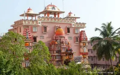
The Mata Amritanandamayi Math at Amritapuri, which takes visitor bookings for simple ashram rooms.
Nalla Bhoomi at High School Junction in Karunagappally focuses on Kerala coastal and Kuttanad cooking. Its menu includes banana-leaf kizhi biriyani, duck mappas and karimeen pollichathu. This is an NH66-side meal stop north of Kollam; check dish availability before making a special journey.
Highway hotel off the NH near Karunagappally town centre, with A/C and non-A/C rooms and the Galaxy restaurant.
Karunagappally town’s principal Shiva shrine, on the Pallikkal river. It is administered by the Travancore Devaswom Board.
The samadhi ashram of Chattampi Swamikal at Panmana, open 8.30am to 6pm daily. Panmana Asramam, Panmana P.O., Kollam, Kerala.
Teaching Ayurveda hospital of the Amrita School of Ayurveda at Vallikavu, with public OP booking.
Karunagappally’s state bus depot on the national highway, run by an Assistant Transport Officer and the practical hub for buses along this coast.
Station KPY at Edakkulangara, the nearest railway station to Amritapuri.
Karunagappally hotel with deluxe, executive and step-free rooms, plus a bar and restaurant.
Malabar Gold & Diamonds showroom opposite the Government Boys High School, Karunagappally.
Ten-storey shopping mall at Lalaji Junction, Karunagappally, with a cinema and 25-plus stores.
The municipal office for Karunagappally town, handling certificates, licences and permits. Karunagappally Municipality, Karunagappally P.O., Kollam, Kerala 690518.
Book with the place itself. India’s cyber-crime coordination centre warned in April 2025 that convincing copies of hotel and pilgrimage booking sites are being pushed through sponsored search and social ads, taking payment for rooms the property never hears about. Every listing here links to the business’s own contact details and its own Google or Bing profile — we take no commission and sit in nobody’s payment path. If a booking page reached you through an ad, check the address bar against the property’s own site before you pay. Fraud can be reported on cybercrime.gov.in or on 1930.
Find food, accommodation and activities across Karunagappally. Browse the guides for places to eat, stay and explore along your route.
4 more places around Karunagappally. Open a guide to plan the visit and onward journey.
A coastal temple destination in the Cheriazheekal–Alumkadavu belt, visited as a living place of worship rather than a generic beach-side landmark.
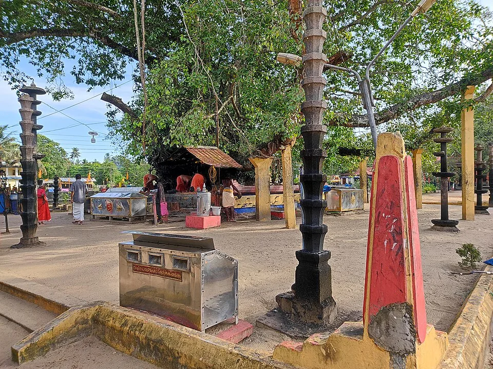
8.7 km · ~14 min by cab
An unusual temple with no idol or building over the deity, set in an open grove; famous for the Oachira Kali festival.
9.3 km · ~15 min by cab
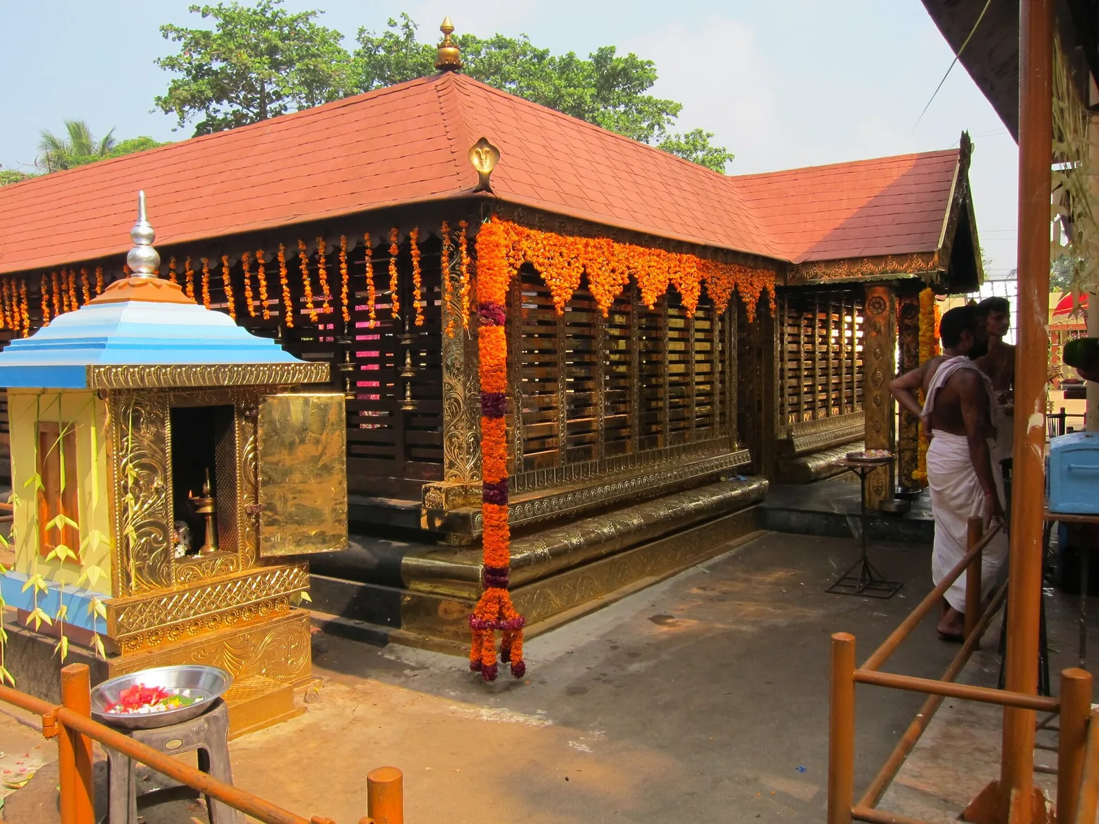
A Devi temple at Chavara north of Kollam, known across Kerala for Chamayavilakku — the two nights in Meenam when men and boys dress in saris and carry lamps in procession to the goddess, re-enacting the cowherd boys of its founding legend.
17.4 km · ~29 min by cab
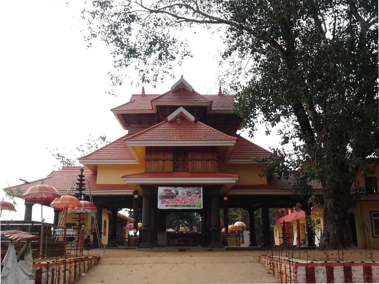
A temple with no idol and no sanctum — an open pillared mandapam over a raised platform, worshipped by sankalpam. The presiding figure is Mala Appooppan, the grandfather of the hill, conceived in the form of Duryodhana; the priest is the Oorali rather than a Brahmin, and toddy is the traditional offering.
Roampedia is commission-free — own or know a stay, eatery, guide or shop near Alumkadavu? List it and it appears here once verified.
Add a nearby businessEntry: None, and there is nothing to buy a ticket for. Alumkadavu is a working village, and the boatyards are private property along the bank — there is no gate, no counter and no staff. People do stop and watch and builders are generally relaxed about it, but you are a guest on someone's worksite. Ask before you walk in, ask before you photograph anyone, and stay clear of anything being moved. For a guaranteed and welcome look, arrange it through DTPC Kollam or the resort on the bank.
If you are travelling by bus or ferry, check the return service with the operator before setting out. Leave time to reach the stop or jetty after your visit.
Ask at the bus stand for the time of the last service back, not the next one. If you miss it, an auto or app cab is the fallback — agree the fare before you get in.
If you need step-free access, contact the site before travelling. Ask about a level entrance, steps along the route, the nearest drop-off point, seating and accessible toilets.
Charge cap and free-transaction limits: Reserve Bank of India, in force since 1 May 2025.
These services are listed within about 1.2 km of Alumkadavu. Walking distances follow mapped routes; access and opening hours can change. Other services may be closer but are not included here.
Emergency numbers are verified against official government and state tourism sources. 112 works anywhere in India.
An unusual temple with no idol or building over the deity, set in an open grove; famous for the Oachira Kali festival.
8.7 km · ~14 min by cab · straight lineA Devi temple at Chavara north of Kollam, known across Kerala for Chamayavilakku — the two nights in Meenam when men and boys dress in saris and carry lamps in procession to the goddess, re-enacting the cowherd boys of its founding legend.
9.3 km · ~15 min by cab · straight line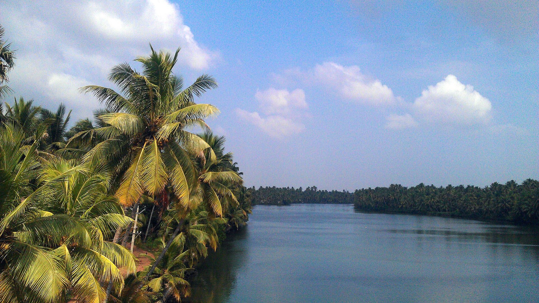
The river that rises in the Western Ghats behind Thenmala, is impounded at the Parappar dam, and reaches the sea through Ashtamudi past Munroe Island — the thread that connects the east of this district to the west.
13.6 km · ~23 min by cab · straight line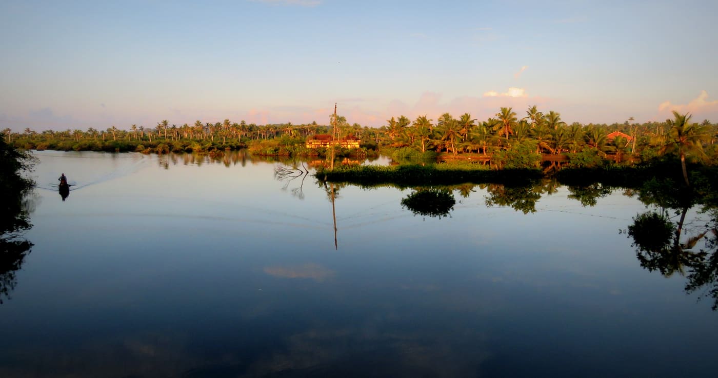
Canal village island known for canoe trips, coir work and slow backwater life.
13.7 km · ~23 min by cab · straight line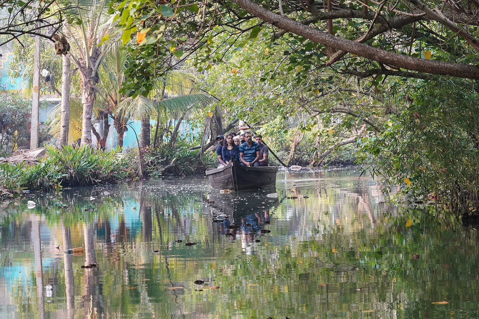
The narrow inland canal network threading Munroe Island, navigable only by small country canoe — the reason the island is visited at all, and a different waterway entirely from the open Ashtamudi lake.
13.7 km · ~23 min by cab · straight line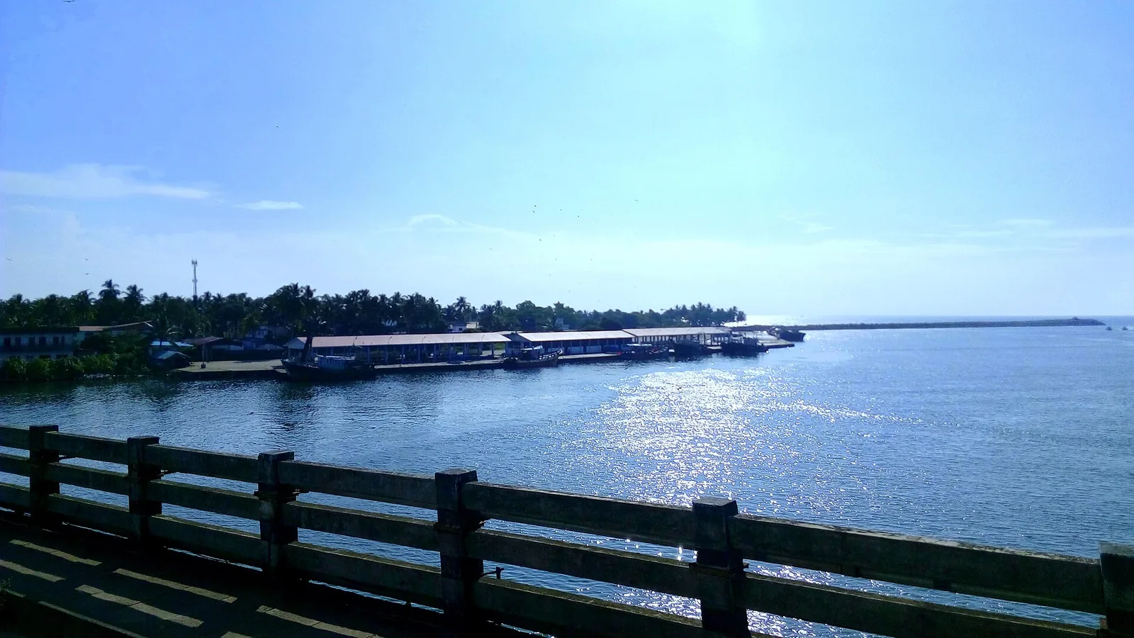
By most accounts Kerala’s largest fishing harbour, at the mouth of Ashtamudi Lake about 9 km from Kollam town, and where Indian fishing was mechanised; two bridges cross the confluence and the early-morning auction is the sight to catch.
13.9 km · ~23 min by cab · straight line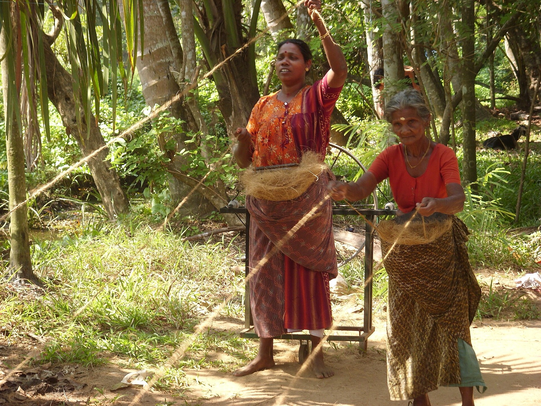
The coir-working settlements of Munroe Island, where coconut husk is retted in the backwater and spun into yarn — a working craft economy on the canal banks rather than a demonstration laid on for visitors.
14.0 km · ~23 min by cab · straight line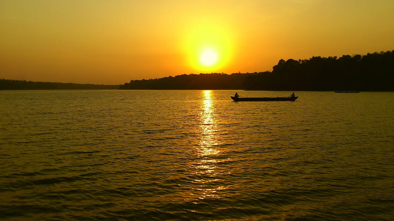
Kerala’s largest freshwater lake, a Ramsar wetland ringed by hills and a Sastha temple, north of Kollam.
14.6 km · ~24 min by cab · straight line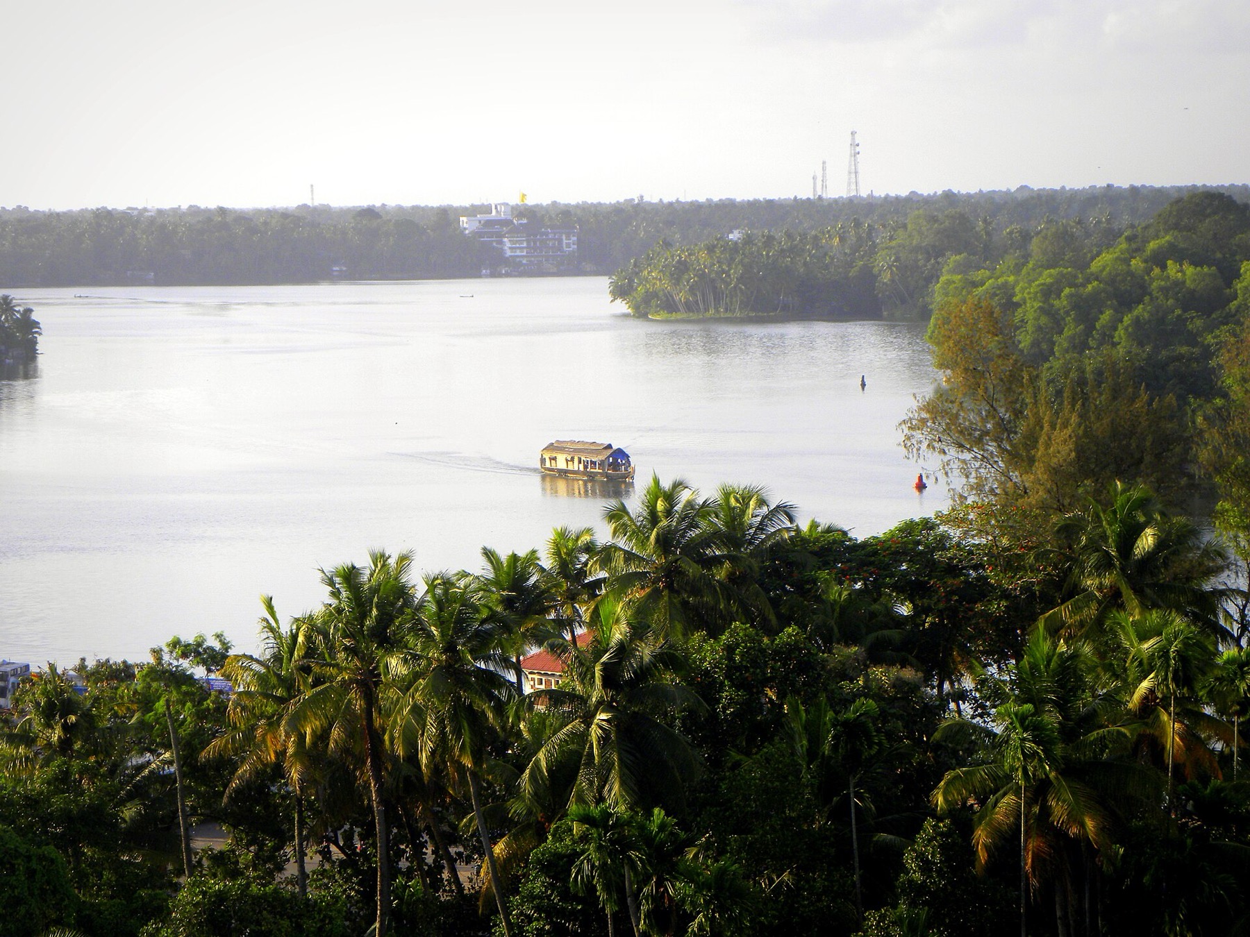
The open-water outlooks on the Munroe Island and Perumon side of Ashtamudi, where the lake widens out — the wide views the canal trips themselves do not give you.
16.5 km · ~27 min by cab · straight lineA temple with no idol and no sanctum — an open pillared mandapam over a raised platform, worshipped by sankalpam. The presiding figure is Mala Appooppan, the grandfather of the hill, conceived in the form of Duryodhana; the priest is the Oorali rather than a Brahmin, and toddy is the traditional offering.
17.4 km · ~29 min by cab · straight line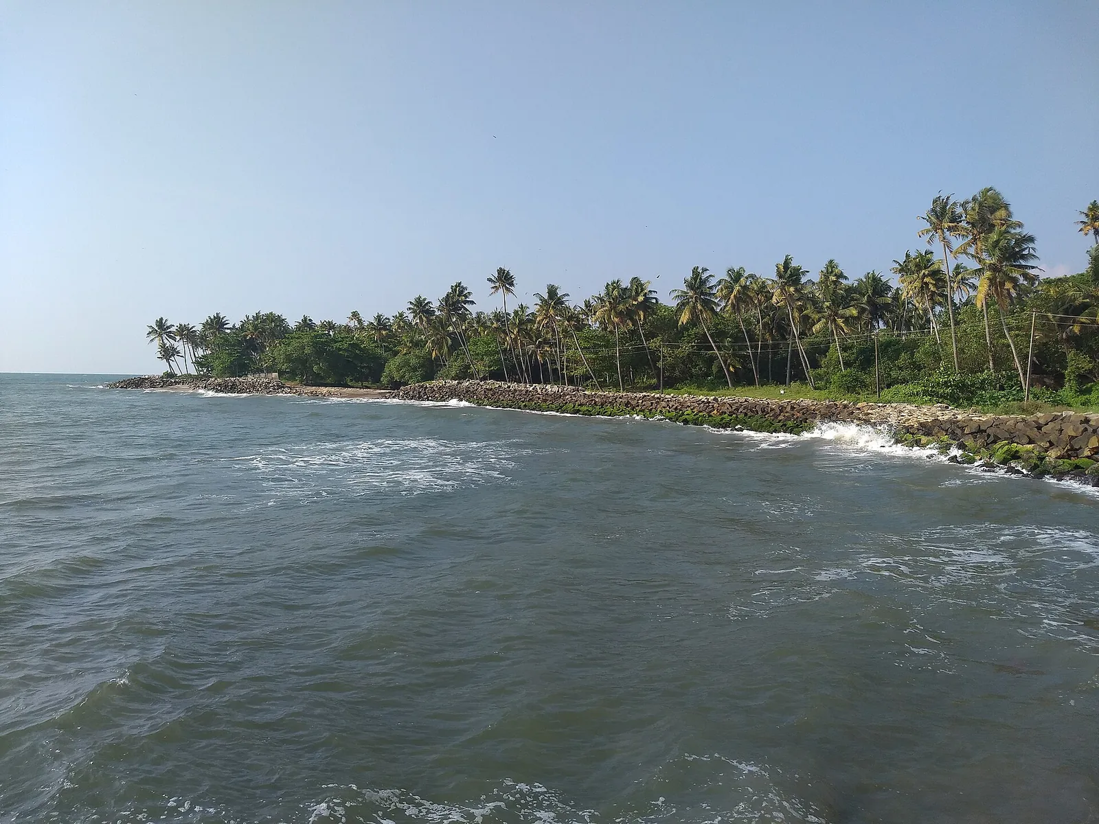
A quiet, curved bay beach west of Kollam town, calmer than the city beach and good for a relaxed evening.
18.9 km · ~31 min by cab · straight line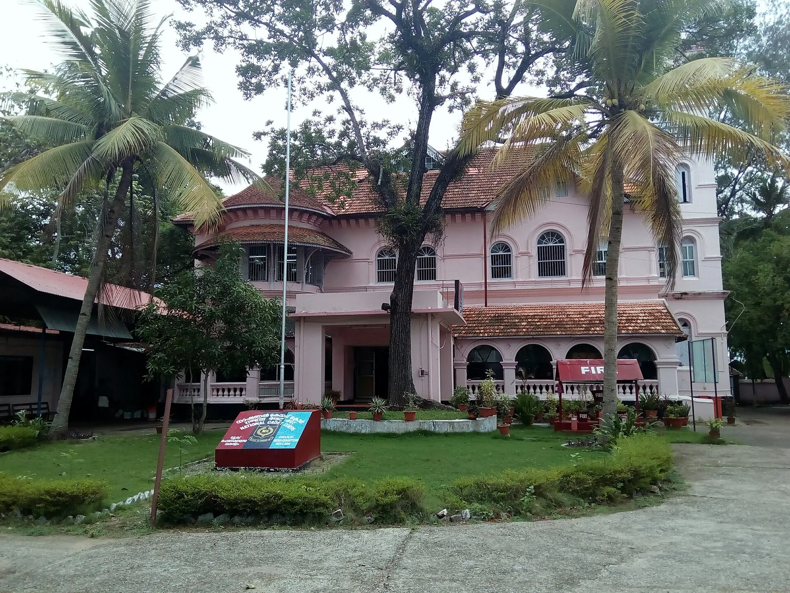
A Travancore royal residence on the Ashtamudi shore in Kollam, built to be arrived at by boat and now a working NCC establishment — viewed from outside or from the water.
19.1 km · ~32 min by cab · straight lineNearby toilets, pharmacies, ATMs, seating and vets are community-mapped and may be incomplete or out of date. Map data © OpenStreetMap contributors | Walking times © openrouteservice.org by HeiGIT
The Kerala one was; the houseboat was not. Kerala Tourism's own page says "the first houseboats in India were crafted" here, and that is not right — the houseboats of Dal Lake in Srinagar date from the 1880s, built by British residents when the Maharaja of Kashmir would not let them buy land. What Alumkadavu did is narrower and better evidenced: the conversion of the cargo kettuvallam into a cruising houseboat, launched in 1991, worked out by the tour operator Babu Varghese with a boat carpenter of this village, Mannasseril Padmanabhan. That is the claim worth making and it is the one we make.
No. This is the most repeated error about the place and it is measurable. The water at Alumkadavu is Kayamkulam Kayal: the nearest mapped edge of Kayamkulam Lake is about 250 m from the village, while the nearest mapped edge of Ashtamudi Lake is about 10.6 km away to the south. Kerala Tourism's destination page, its article page and the listings for the resort on the bank here all say Ashtamudi. They are describing the right district and the wrong lake — the two are connected by the same waterway, which is probably how the mistake started.
There is no entrance and no fee, because there is no attraction in the ticketed sense — these are private working yards on a village bank, and you are a guest. In practice people do stop and watch, and builders are generally relaxed about it. Ask before you walk in, ask before you photograph anyone, keep out of the way of anything being moved, and do not climb on a hull. If you want a guaranteed look, arrange it through DTPC Kollam or through the resort on the bank rather than turning up cold.
Alumkadavu is about 3 km west of Karunagappally town, off the Karunagappally–Alumkadav road; the turn is roughly 3 km from High School Junction on NH66. Karunagappally railway station is about 5 km away and Thiruvananthapuram International Airport about 95 km, both figures from Kerala Tourism. By water it is on National Waterway 3, and DTPC Kollam's Kollam–Alappuzha boat calls here for lunch. The pin reverse-geocodes to Karunagappally taluk, Kollam district, PIN 690573.
Partly, and the brochure line oversells it. The hull is still anjili — wild jack, chosen because it tolerates water — worked by hand, with planks drawn together using coir cord and coir packed into the seams, a cashew-based resin over the joined timber, and a bamboo frame thatched with palm leaf. But Kerala Tourism's own description of how houseboats are made today also lists tar and tar sheets on the outer surface, aluminium sheets "of late", and an engine running on kerosene or petrol. "Not a single nail" describes the inherited method, not the boat that will be launched next month.
Months rather than weeks, with a small crew — one local account puts it at seven or eight craftsmen working over several months. There is very little machinery involved: this is a hand trade and the timeline reflects it. A finished boat runs roughly 95 to 107 feet long and 13 to 19 feet across the middle.
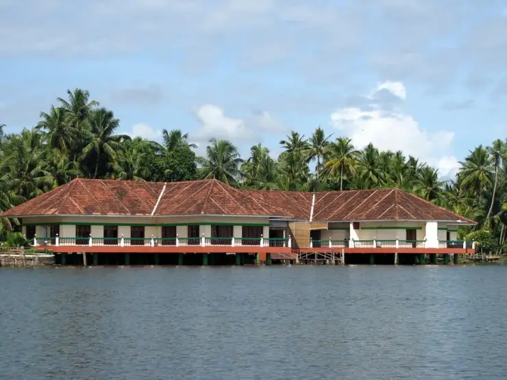
Green Channel Backwater Resort sits on the bank at Alumkadavu and is licensed by DTPC Kollam — a small property, on the order of eight rooms, half of them air-conditioned, with a restaurant. Beyond that, Karunagappally town 3 km away is the practical base for food and supplies. This is a village, not a resort strip; do not count on finding a café at the yards.
Oachira Parabrahma Temple is 8.7 km north — the shrine with no sanctum, no idol and no named deity, worshipped on open ground under banyan trees, and the best pairing with this village that the district offers. Sasthamcotta Lake, Kerala's largest freshwater lake, is about 14 km east. Amritapuri, the ashram whose towers dominate the coastal skyline near here, is a few kilometres west on the seaward side.
October to March is best for comfortable boat trips; monsoon is greener but weather can disrupt plans.
Entry: None, and there is nothing to buy a ticket for. Alumkadavu is a working village, and the boatyards are private property along the bank — there is no gate, no counter and no staff. People do stop and watch and builders are generally relaxed about it, but you are a guest on someone's worksite. Ask before you walk in, ask before you photograph anyone, and stay clear of anything being moved. For a guaranteed and welcome look, arrange it through DTPC Kollam or the resort on the bank. Timings: 🛑 NONE PUBLISHED, AND WE WILL NOT INVENT ANY. There is no operator and no opening time. Practically, boatbuilding is daytime work: mid-morning to late afternoon on a weekday is when there will be something to see. Sunday is quieter.
Base yourself in Karunagappally or a nearby town in Kollam, then confirm the last-mile route locally before leaving. Plan boat timings first, then arrange road transfer around the departure point. If the visit depends on forest, temple, boat, ferry, weather or seasonal access, check the official/local rule on the day before travel.
2 hours to a full day; overnight if using a houseboat area.
Nearby you can pair Oachira Parabrahma Temple (8.7 km), Kottankulangara Devi Temple (9.3 km), Kallada river (13.6 km), Munroe Island (13.7 km).
Use operators with life jackets and clear weather judgement. Avoid overloaded boats.
Written about Alumkadavu itself — its history, its legends and the arguments about them.

These guides explore Karunagappally and the surrounding area. Choose a visit that fits your interests, allowing separately for travel between stops.


Route-level itineraries and practical guides for the rest of Kerala.
Photographs: Kerala Tourism, Government of Kerala (Official tourism image — hosted by Kerala Tourism). Wikimedia Commons.