What to expect
Highlights
- Heritage experience at Port of Kollam
- Architecture, local stories and old trade/cultural routes
- Good fit for guided walks and nearby cafes/shops
The working wharf and breakwater at Thangassery, conventionally founded in AD 825 — the event the Malayalam calendar counts from. A short cargo quay and a long public breakwater walk, above a seabed that has produced Tang and Song coins and Lower Palaeolithic tools.
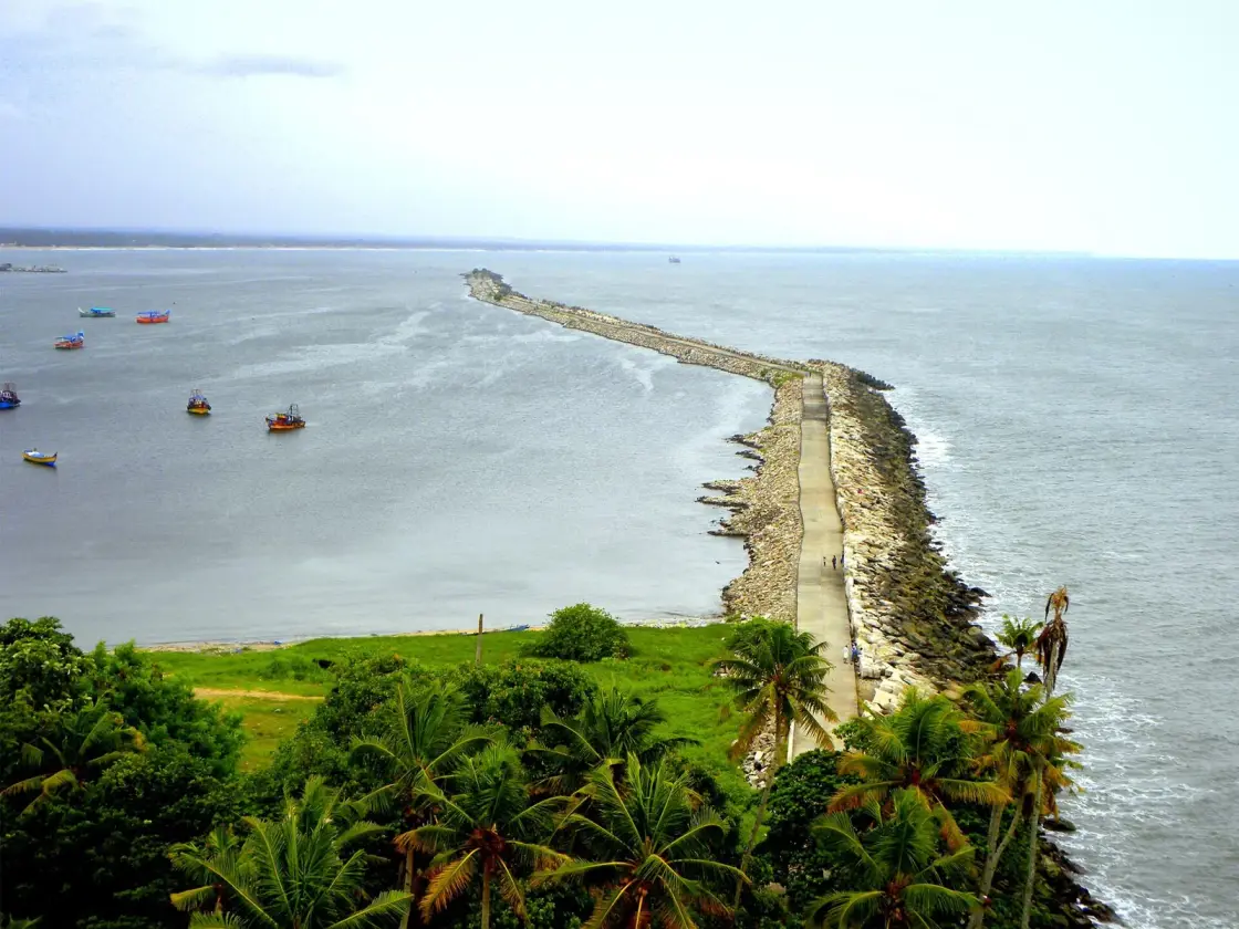
A small working wharf at Thangassery, about 4 km from the middle of Kollam, with a rubble breakwater running out into the Arabian Sea and a beach of fishing boats immediately beside it. It handles sand, cashew and tiles. It is also, on the conventional date, the oldest continuously named port on this coast: the harbour founded in AD 825 whose founding the Malayalam calendar still counts from, and the only place in Kerala where you can stand on a public breakwater above water that has produced Tang and Song coins.
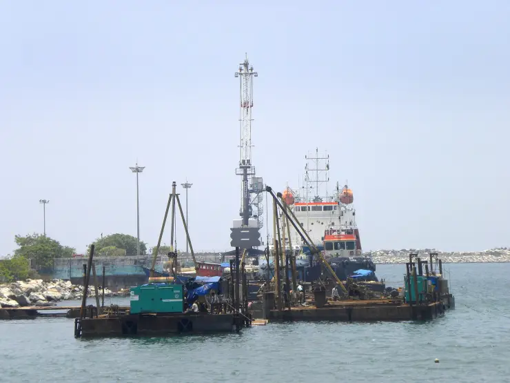
Start with what is actually there, because the gap between the history and the site is the most interesting thing about it. Kollam Port today is a wharf of about 177 metres, twelve metres wide, with a working draught of six and a half metres — enough for vessels up to roughly 15,000 deadweight tonnes and not enough for much else. There are two cranes. The declared cargo is sand, cashew and tiles. A seaboard breakwater of some 2,100 metres and a leeward arm of about 500 metres make the sheltered water, and the long concrete-capped walk out along the seaboard arm is, in practice, what visitors come for. Photographs of the port taken from the Thangassery lighthouse show the whole arrangement in one frame: the dogleg of rubble, fishing boats moored inside it, open sea outside, and a quay so short that a single coaster fills it.
That is not a diminished version of something. It is what a nine-hundred-year-old roadstead looks like after the ships got bigger. Medieval Kollam did not need a deep-water berth because medieval ships anchored in the roads and were worked by lighters; the shelter, the lagoon behind it and the freshwater river system inland were the whole asset. Modern shipping inverted every one of those advantages, and the port has spent the past two decades trying to dredge its way back — a scheme to take the draught to ten metres, so that ships of 170 metres and over need not carry on to Kochi, has been costed at about ₹5.7 crore and has been under way, in one form or another, long enough that no completion date should be printed here.
The modern revival has a paper trail of first days, and they are recent enough to be worth listing plainly. A coastal shipping project was launched on 9 November 2013. The first container vessel, the MV Suryamukhi, came alongside on 18 January 2014. The first foreign ship followed on 4 April 2014. An electronic data interchange facility was commissioned on 6 January 2016 under the code INKUK1, and a roll-on/roll-off service opened when the 160-metre MV Maria arrived on 17 March 2016. On 17 June 2024 the port was designated an immigration checkpoint. Read as a list, it is the record of a place repeatedly declaring itself open for business — which is a different thing from a place that is busy.
Now the history, and the reason a two-berth minor port earns a page at all. The conventional founding date is AD 825, and Kollam is the rare Indian port whose founding is not merely recorded but counted from: the Malayalam era, Kollavarsham, begins with it and is still in daily use in Kerala for temple calendars, agricultural dates and festival reckoning. Who founded it is where the sources part company, and we would rather show you the seam than paper over it — the detail is set out in the corrections below.
What is not in doubt is that within a single generation this harbour was important enough to generate one of South India's most extraordinary documents. The Tarisappalli copper plates of 849 CE record a grant by the Venad ruler under Sthanu Ravi to a merchant remembered as Maruvan Sapir Iso, who built a church at a place the plates call Kurakkeni Kollam. The plates are witnessed in Kufic Arabic, in cursive Pahlavi and in Judeo-Persian Hebrew. Persians, Arabs and Jews were not visiting this harbour in the ninth century; they were resident in it, signing legal instruments in their own hands. That document, and the wider medieval-trade story it anchors, is told at length on our Ashtamudi Lake page, because the lake behind the port is what made the port possible.
The Chinese connection is older and better attested than most visitors expect. The Chinese geographer Jia Dan compiled itineraries between about 785 and 805 CE that describe trade with Kulam on the Malabar coast — before the conventional founding date of the port itself. Tang-dynasty records give the settlement the name Mahlai and refer to its king by a word that is recognisably Venad. Ibn Battuta, three centuries later, named Kollam as one of the five Indian ports he saw across twenty-four years of travelling. Two merchant guilds, the Anchuvannam and the Manigramam, are recorded here, one foreign and one local, which is about as clear a statement as the record ever makes that this was a two-way arrangement rather than a place things were taken from.
And then, in 2014, dredging off the coast started bringing the evidence up in the slurry. Chinese potsherds and coins were noticed in the spoil in January of that year, and the Department of Archaeology at the University of Kerala ran explorations at Thangassery across the 2013–14 and 2014–15 seasons. The published assemblage is worth knowing precisely, because it is routinely rounded into a headline. Forty-four Chinese copper-alloy coins were recovered and studied; forty-three of them could be dated. Thirty-six are Northern Song, five are Tang and two are Southern Song. Ten were issued under the emperor Shen Zong, nine under Ren Zong, five under Tai Zong. They run from twenty-three to thirty-five millimetres across and from about one to eight grams. Twenty-one distinct obverse legends were identified — and exactly one coin in the whole set carries any mark on its reverse.
The earliest are Tang, which means the coin evidence and Jia Dan's itineraries point at the same century. The latest legible reign-legend in the published set is Chong Ning Zhong Bao, struck between 1102 and 1106. So the datable material brackets roughly four hundred years of contact — and it does so from a single stretch of seabed off a fishing harbour.
The archaeologists add a caution that almost nobody repeats, and it is the most interesting sentence in the whole paper. There is no scholarly agreement that these coins ever circulated as money in Kollam. Chinese cash was valued by form and size rather than by metal content, and the authors suggest that in a port where Chinese merchants were major stakeholders the coins may have carried no local monetary value at all, with trade settled by other means. The coins may be evidence of who was here rather than evidence of how anything was paid for. That is a smaller claim than the headlines make, and a more honest one.
The seabed has produced something older still. In August 2009 a team led by P. Rajendran recovered Lower Palaeolithic tools from the Thangassery seabed — stone implements from a shoreline that was dry land when sea levels were lower. They are frequently folded into the 2014 coin story as though everything came up in one bucket. They did not, they are five years earlier, and they belong to a different order of time entirely.
What you can do with all of this, standing at the port, is limited and honest. Walk the breakwater, which is a genuine public walk with people on it at every hour of the evening. Look south to the Thangassery lighthouse and north along the beach to the fishing fleet. Watch whatever is alongside — a coaster, a dredger, a pile-driving barge. And know that the water you are looking across is the same anchorage that a Tang itinerary, a ninth-century copper plate in three scripts, a fourteenth-century Moroccan traveller and forty-four Song coins all independently describe.
The first correction is the one most likely to be copied onto your itinerary from somewhere else. English Wikipedia's article on Kollam Port says the harbour was founded as an alternative to reopening an inland seaport called Kore-ke-ni, and equates that name with Nelcynda, with Tyndis and with Thondi — the ports of the Periplus and of Tamil literature. We do not print that, and we have already published the reason on our Ashtamudi Lake page: no Phoenician or Roman source names Kollam, and no scholar we could trace places Nelcynda, Bacare or Tyndis here. What we can now add is where the error comes from, which is more interesting than the error. The Tarisappalli copper plates of 849 CE call this place Kurakkeni Kollam. That is a real ninth-century name for a real place, and it is the name in the primary document. Somewhere between the copper plate and the encyclopaedia it became Kore-ke-ni and was then matched to a Greco-Roman port a thousand kilometres of coastline and eight centuries away. The name is genuine. The identification is not.
The second is the founding, and here the honest answer is that the sources disagree and we are not going to pick. One line of sources, including the English Wikipedia article on the port, says Kollam was founded in AD 825 by Mar Abo with the sanction of Udayamarthandavarma. Another, at least as widely repeated, says it was founded by two Church of the East bishops, Mar Sabor and Mar Proth, with the permission of Ayyanadikal Thiruvadikal, the Venad king. These are less contradictory than they look — our own page on the Kadamattom church already records that Mar Abo is better known to history as Mar Sabor, and that he did not arrive alone — but the royal name genuinely differs between tellings, and neither version rests on a document anyone can show you. Treat AD 825 as the conventional date rather than a recorded one, and treat the founder as a tradition rather than a fact.
The third correction is about numbers, and it matters because both figures in circulation are true and they describe different things. You will read that thousands of Chinese coins were recovered at Kollam in 2014. That is what the dredging is reported to have brought up, and the peer-reviewed paper repeats the figure. But the assemblage that was actually collected, measured, photographed and published is forty-four coins, of which forty-three were datable. Both numbers belong in any honest account. Quoting the thousands alone makes it sound like a hoard was excavated; quoting the forty-four alone hides the scale of what came out of the spoil. Nobody, as far as we can establish, has published a catalogue of the thousands.
The fourth is chronological. The Stone Age tools and the Chinese coins are not one discovery. The Lower Palaeolithic implements were recovered from the Thangassery seabed in August 2009 by a team led by P. Rajendran; the coins and potsherds were noticed in dredging slurry in January 2014. Sources that describe a single January 2014 find of "Chinese coins and Stone Age weapons" have merged two events five years apart, and in doing so make the palaeolithic material sound like an afterthought to a medieval trade story when it is a separate finding about a drowned shoreline.
The fifth is a ranking, and the reason we do not print one is that our sources contradict each other in the same breath. English Wikipedia's infobox calls Kollam the third largest port in Kerala by cargo. A Commons photograph of the same port, uploaded by the same photographer whose images illustrate that article, is captioned "the second largest port in Kerala". We could find no official list from the Kerala Maritime Board that settles it, and with Vizhinjam now in the picture any ranking would date quickly. The port's size is better conveyed by the wharf being 177 metres long than by an ordinal.
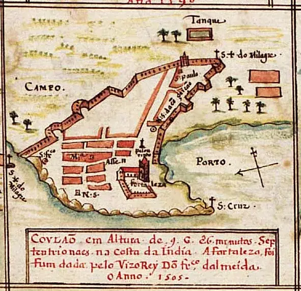
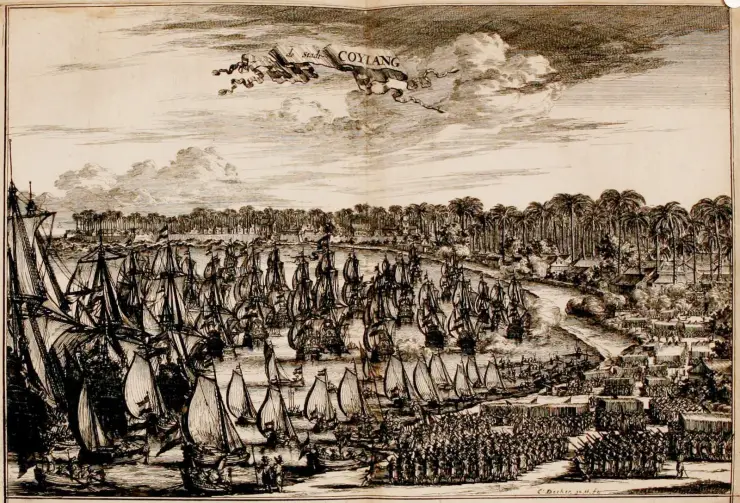
The sixth is about the pictures, and it is the sort of thing that quietly becomes fact. Three superb early views of this harbour circulate under filenames that read as dates: a "1505" image, a "1670" one, a "1708" one. Only the last is straightforwardly what its name suggests. The "1505" file is not an engraving at all but a hand-coloured Portuguese manuscript town-plan which Commons dates to about 1600; what belongs to 1505 is the event its own caption records, the founding of the fortress under the Viceroy Dom Francisco de Almeida. It is a document of around 1600 remembering 1505, and it is a much better object for being that. The "1670" engraving is by Coenraet Decker and shows the Dutch assault on Kollam of December 1661, published in Wouter Schouten's account in 1676. A trade scene it is not.
The seventh is small and practical. The port is not the beach and the two are next to each other. Some listings send visitors to "Kollam Port" meaning the breakwater walk at Thangassery, and some mean the operational wharf, which is a working cargo facility and not a place to wander into. The walk is the visit. And one file that circulates as "Kollam Port Wharf" is, when you open it, a photograph of the breakwater with people strolling on it — the wharf is elsewhere in the frame, or not in it at all.
The conventional founding date is AD 825, and it is the date the Malayalam calendar counts from. Kollavarsham — the Kollam era — begins here, and is still used across Kerala for temple calendars, harvest reckoning and festival dates. One widely repeated version has the era beginning when the town was rebuilt after a great fire; another ties it to the establishment of the Persian Christian merchant settlement recorded in the copper plates. The era is real and in daily use; the origin story attached to it is tradition.
The Tarisappalli copper plates of 849 CE, issued in the reign of Sthanu Ravi, grant land and privileges to a merchant recorded as Maruvan Sapir Iso, who founded a church at Kurakkeni Kollam. The plates are signed by witnesses in Kufic Arabic, cursive Pahlavi and Judeo-Persian Hebrew — three scripts, three communities, one legal instrument. It is the single strongest piece of evidence that ninth-century Kollam was a resident cosmopolitan port rather than a seasonal market, and it is discussed at greater length on our Ashtamudi Lake page.
Kollam was the seat of Venad from the ninth century, and the port and the kingdom grew together. Two merchant guilds are recorded here, the Anchuvannam and the Manigramam, conventionally read as a foreign and a local corporation. Chinese sources name the settlement Mahlai; the geographer Jia Dan's itineraries, compiled between roughly 785 and 805 CE, already describe trade with Kulam on this coast. Ibn Battuta, in the fourteenth century, counted Kollam among the five Indian ports he had seen.
The European sequence is legible in the pictures more than in anything standing. A Portuguese manuscript plan of about 1600 shows a walled town with a grid of streets, a fortaleza on the shore, the churches of São Paulo and Santa Cruz, and the lagoon marked simply PORTO — and its caption records that the fortress was granted or founded under the Viceroy Dom Francisco de Almeida in 1505. In December 1661 the Dutch attacked; Coenraet Decker's engraving of the assault, published in Wouter Schouten's Oost-Indische voyagie in 1676, shows a fleet at anchor and troops drawn up in ranks along the shore. Johan Nieuhof's view was published at Amsterdam in 1682, and an English edition of the Coylang plate appeared under Churchill in the 1740s. The British followed the Dutch, and the seat of British authority moved a little up the shore to the Residency at Asramam.
The modern port is a Kerala Maritime Board facility on about 44 acres, with roughly 10.6 acres of that as land. It carries the UN/LOCODE IN KUK. It was renovated in 2007, and its recent history is a sequence of firsts: coastal shipping from November 2013, a first container ship in January 2014, a first foreign vessel that April, electronic data interchange from January 2016, a roll-on/roll-off service the following March, and designation as an immigration checkpoint in June 2024. Published cargo and revenue figures for the port vary widely between sources and years, and we have not found an official series we would put in print.
The archaeology arrived last and changed the register of the whole story. Lower Palaeolithic tools came off the Thangassery seabed in August 2009. Chinese potsherds and coins appeared in dredging slurry in January 2014, and University of Kerala explorations across the 2013–14 and 2014–15 seasons produced a studied assemblage of 44 Chinese coins spanning the Tang, Northern Song and Southern Song dynasties, alongside West Asian and Chinese ceramics. For a port whose medieval importance had rested almost entirely on texts, that is the first material proof from the seabed itself.
The breakwater walk — a long concrete-capped rubble arm running out into the Arabian Sea, open, public, and busy every evening, with the fishing fleet moored inside it.
The oldest founding date on this coast that a calendar still counts from: AD 825, and the Malayalam era that begins with it is in daily use in Kerala today.
Seabed archaeology you can stand above — 44 published Chinese coins spanning Tang to Song, and Lower Palaeolithic tools, both recovered from the water off Thangassery.
A working minor port at close range: a 177-metre wharf, two cranes, a coaster or a dredger alongside, and a fishing beach immediately next to it.
Ten minutes from the Thangassery lighthouse, which gives the aerial view of the whole breakwater-and-anchorage arrangement in a single frame.
The one place in Kollam where the medieval trade story — Jia Dan, the Tarisappalli plates, Ibn Battuta — attaches to an actual patch of water rather than to a museum label.
Road km to Kollam; ghat roads and traffic vary — allow extra.
November to February and early mornings are best for walking; avoid midday heat where possible.
Live forecast loads in your browser.
Sun and moon are calculated for this location and shown in IST. Photography windows are the hour around sunrise and sunset; the sunset bearing is degrees clockwise from true north. Moon phase is accurate to about half a day.
Verified hotels, homestays, restaurants, experiences, sights, shops and rentals around Port of Kollam — commission-free, with direct contact. Filter by what you need.
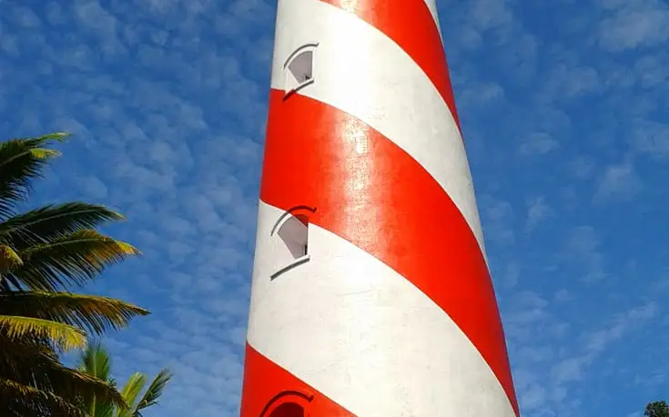
The working lighthouse above Thangassery, climbable for the coast view — the one vertical in a flat port town. Timings are the department’s, not ours; confirm before the walk out.
A family homestay reached by a short boat ride on Munroe Island in the Ashtamudi backwaters. Offers two AC rooms with home-cooked breakfasts.
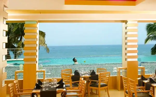
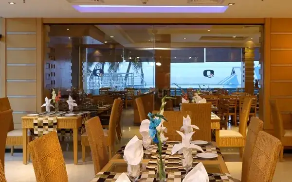
Seafood restaurant at the five-star Quilon Beach Hotel. It plates the day's catch beside panoramic Arabian Sea views.
Poolside multi-cuisine restaurant at The Quilon Beach Hotel. Open-air dining right on Kollam beach. Beach Road, Kollam - 691006, Kerala.
The 24-hour coffee shop at The Quilon Beach Hotel. All-day light meals and beverages beside the sea.
Multi-cuisine restaurant in the Bishop Jerome complex, Chinnakada. Blends Kerala spice with Chinese woks and North Indian tandoor.
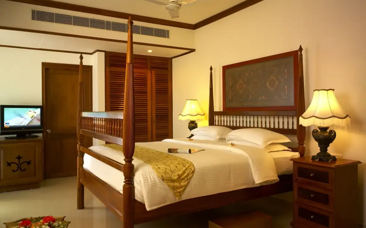
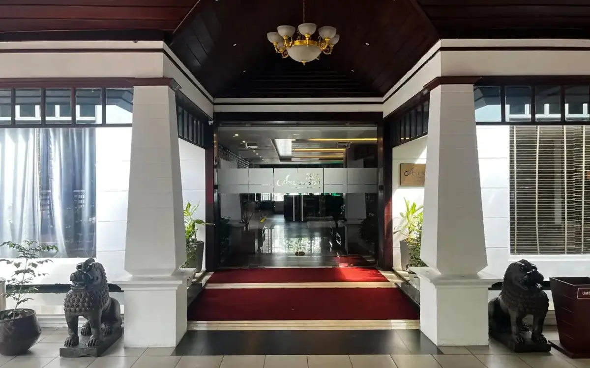
Boutique hotel with 28 rooms and original artwork in the heart of Kollam, overlooking the city's Clock Tower.
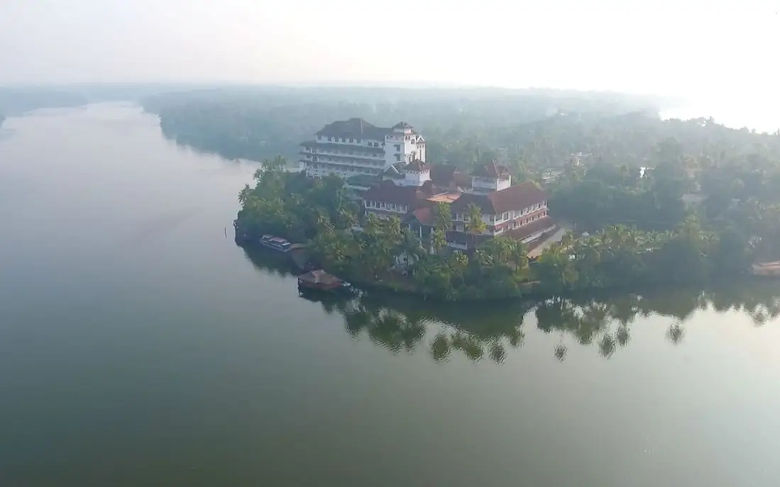
A lakefront resort where all 20 rooms and suites face Ashtamudi Lake. Runs its own houseboat cruises and shoreside Ayurveda treatments.
A backwater resort where Ashtamudi Lake meets the Kallada River. Named after Colonel John Munroe, it offers canoe tours and houseboat cruises.
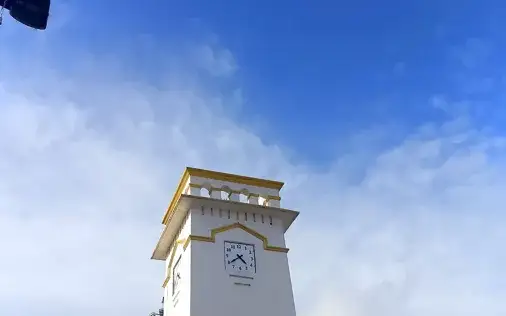
The clock tower at Chinnakada junction — the point the town measures everything else from, and the natural start of any walk through Kollam.
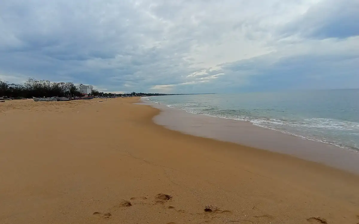
The town’s own beach — an open Arabian Sea shore with no verified lifeguard cover, best used as an early-evening walk when the fishing fleet works. Not a resort beach, and not Varkala.
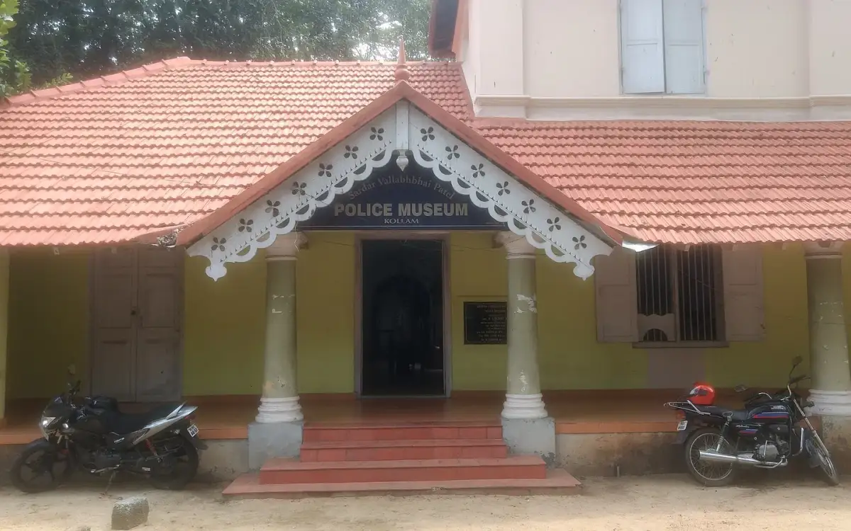
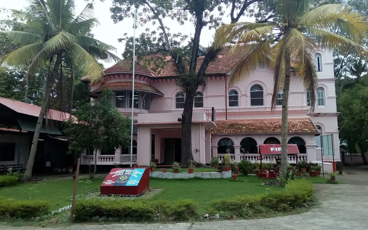
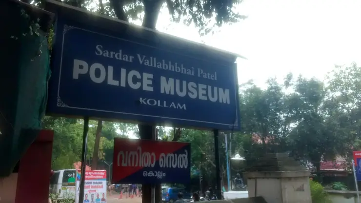
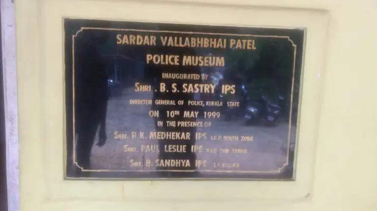
The police museum 600 m from the centre — one of the town’s few ticketed indoor sights, and paired naturally with the Asramam green. Timings unverified; check before a special trip.
The palace across the water from Asramam, part of Kollam’s small colonial-era quarter on the lake side. Viewed from outside unless current access says otherwise.
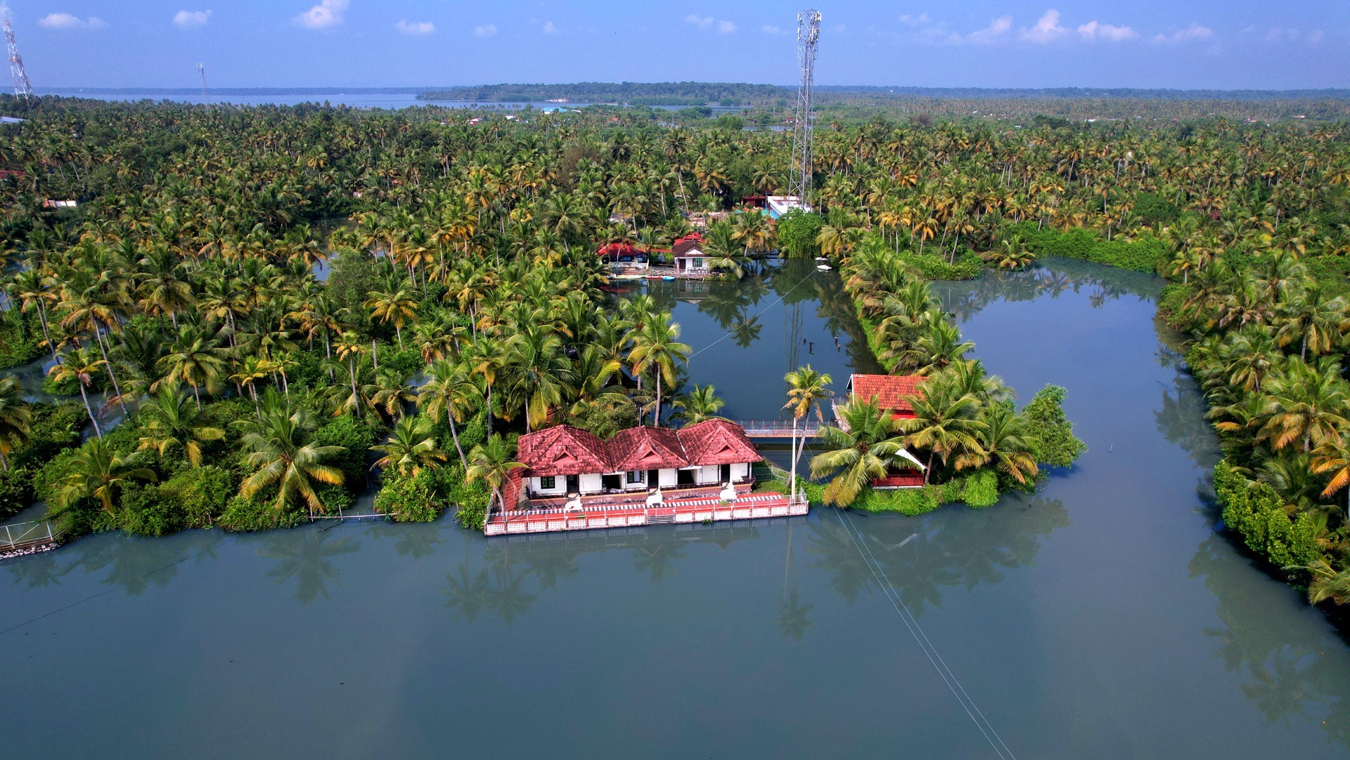
The eight-armed lake that is the reason Kollam exists — a Ramsar wetland, quieter and cheaper than Alappuzha’s water, with the canoe country at Munroe Island up the same system.
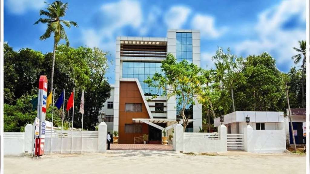
Modern budget hotel at Aadichanalloor on the Kollam–Thiruvananthapuram highway side of Kollam district, south of the town. It offers clean, value air-conditioned rooms with a restaurant and parking, a low-cost highway base for travellers passing through greater Kollam.
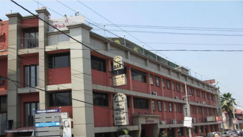
Long-running budget hotel at Parameswar Nagar in central Kollam, rated two-star class by travel directories. It offers value air-conditioned rooms with the Kedar multi-cuisine restaurant and Golden Tavern bar, a practical low-cost town-centre base for transit and business travellers.
Government-run KTDC Easy budget hotel in the Guest House compound at Ashramom, beside Ashtamudi Lake on the quiet edge of Kollam town. It offers simple, low-cost air-conditioned and non-air-conditioned rooms with a restaurant, run under the Kerala Tourism Development Corporation budget brand.
Long-running three-star-class hotel near the KSRTC bus station on Jetty Road in central Kollam, a short walk from the Ashtamudi backwater boat jetty. It offers 44 air-conditioned rooms, a multi-cuisine restaurant, bar, travel desk and boating assistance, a practical mid-range base for backwater and transit travellers.
Kerala Tourism-classified three-star hotel at Kottiyam on the Kollam–Thiruvananthapuram highway, in the southern part of Kollam district. It offers air-conditioned rooms, a multi-cuisine restaurant, bar, banquet hall and travel desk, a comfortable mid-range highway base a short drive south of Kollam town.
Kerala Tourism-classified three-star hotel on NH-47 directly opposite Kollam Railway Station, in the heart of Kollam town. It offers air-conditioned rooms, a multi-cuisine restaurant, bar, banquet and conference halls and 24-hour room service, a convenient mid-range base for rail and business travellers.
Kerala Tourism-classified Ayurveda centre on the banks of Ashtamudi Lake at Ashtamudi, on the backwater edge of Kollam. It runs residential Ayurveda and Panchakarma programmes in rustic laterite cottages beside the water, focused on treatment stays rather than casual spa visits.
Kerala Tourism Green Leaf-classified Ayurveda and spa centre at The Leela Ashtamudi (Raviz), Thevally, overlooking Ashtamudi Lake in Kollam. Its therapy rooms offer classical Kerala Ayurveda treatments and rejuvenation packages with backwater views, run to the Green Leaf standard rather than as a generic hotel spa.
Kerala Tourism Ayur Diamond-classified Ayurveda resort at Thangassery near the Kollam lighthouse, on the seafront edge of Kollam town. It offers doctor-supervised classical Ayurveda and Panchakarma treatments alongside resort rooms, run by the D-Fort group as a dedicated wellness retreat.
Fragrant Nature at Paravur is a lake-side resort outside central Kollam. Allow separate road journeys for Thangassery, city dining and onward rail travel.
Book with the place itself. India’s cyber-crime coordination centre warned in April 2025 that convincing copies of hotel and pilgrimage booking sites are being pushed through sponsored search and social ads, taking payment for rooms the property never hears about. Every listing here links to the business’s own contact details and its own Google or Bing profile — we take no commission and sit in nobody’s payment path. If a booking page reached you through an ad, check the address bar against the property’s own site before you pay. Fraud can be reported on cybercrime.gov.in or on 1930.
Find food, accommodation and activities across Kollam town. Browse the guides for places to eat, stay and explore along your route.
13 more places around Kollam town. Open a guide to plan the visit and onward journey.
1.7 km · 22 min walk
Large palm-fringed backwater system and houseboat base around Kollam.
1.9 km · 24 min walk
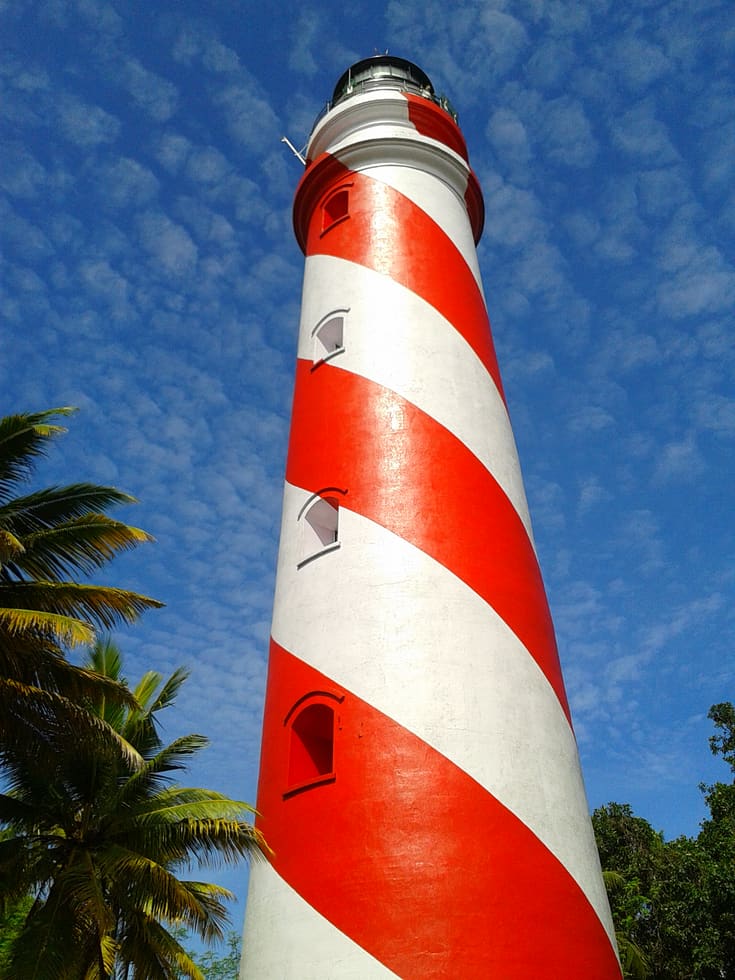
Thangassery Lighthouse raises Kollam’s sea view above a historic coastal neighbourhood. The red-and-white tower is a working navigation landmark with a separate visitor session.
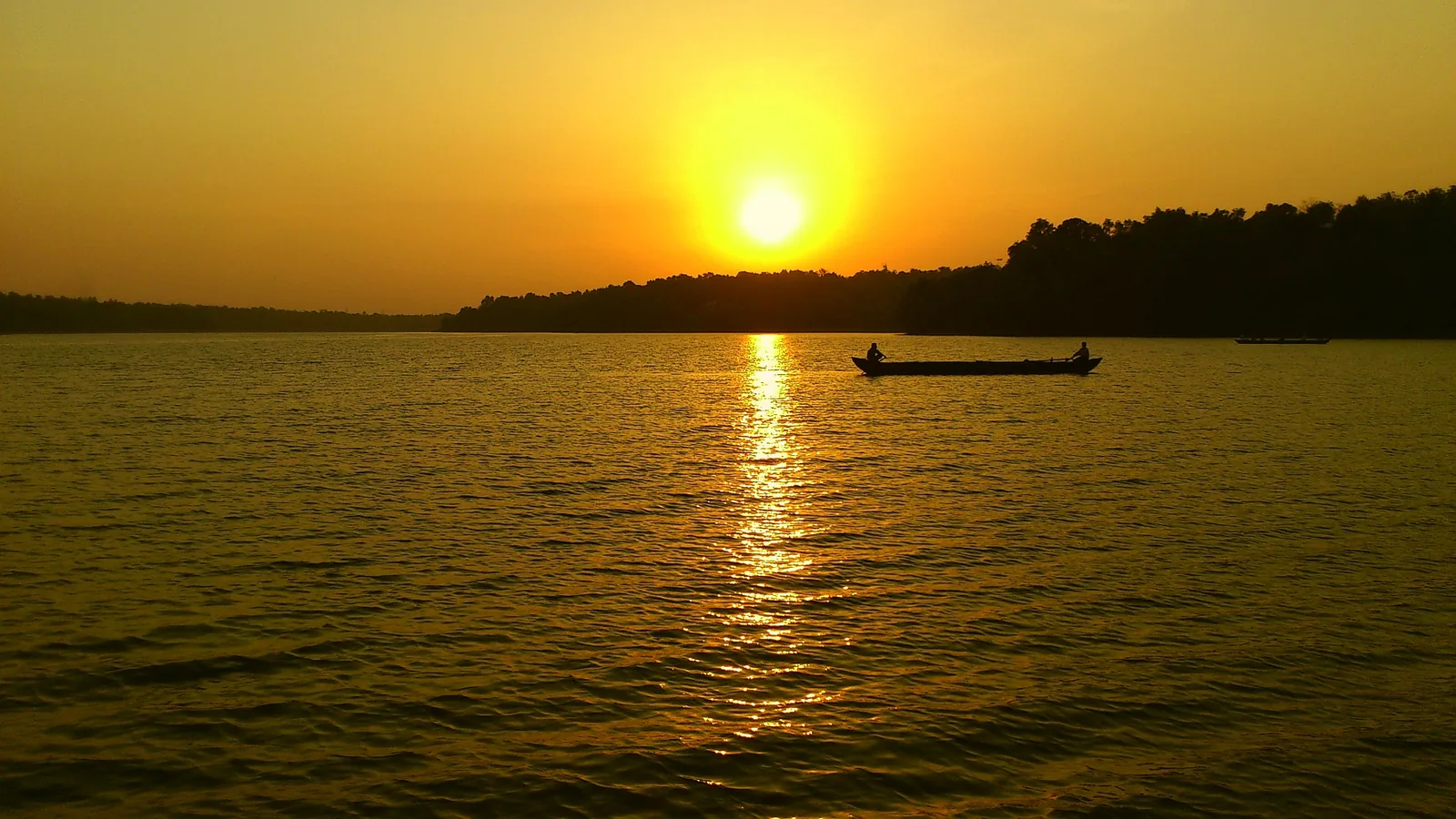
Kerala’s largest freshwater lake, a Ramsar wetland ringed by hills and a Sastha temple, north of Kollam.
1.0 km · 12 min walk
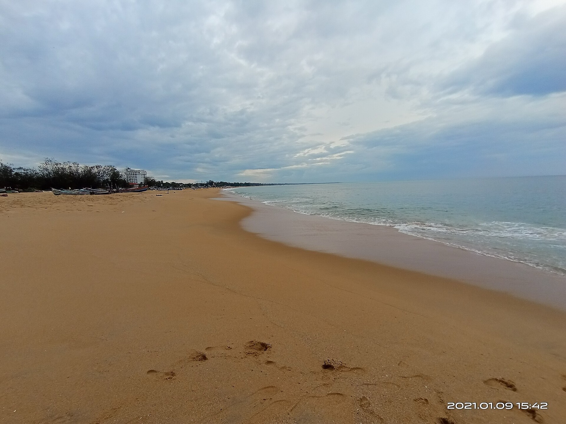
The city’s Mahatma Gandhi beach and park on the Arabian Sea, a popular evening spot near Kollam town.
3.8 km · ~9 min by auto
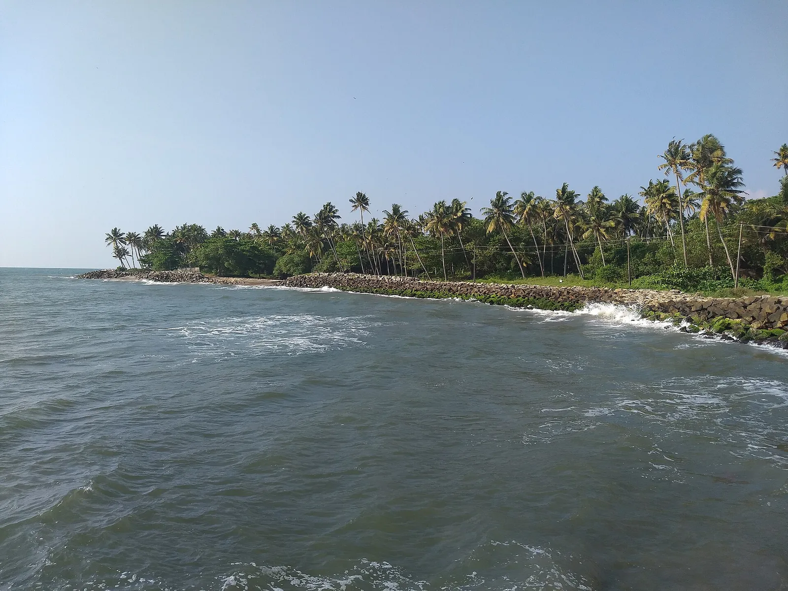
A quiet, curved bay beach west of Kollam town, calmer than the city beach and good for a relaxed evening.
2.8 km · ~7 min by auto
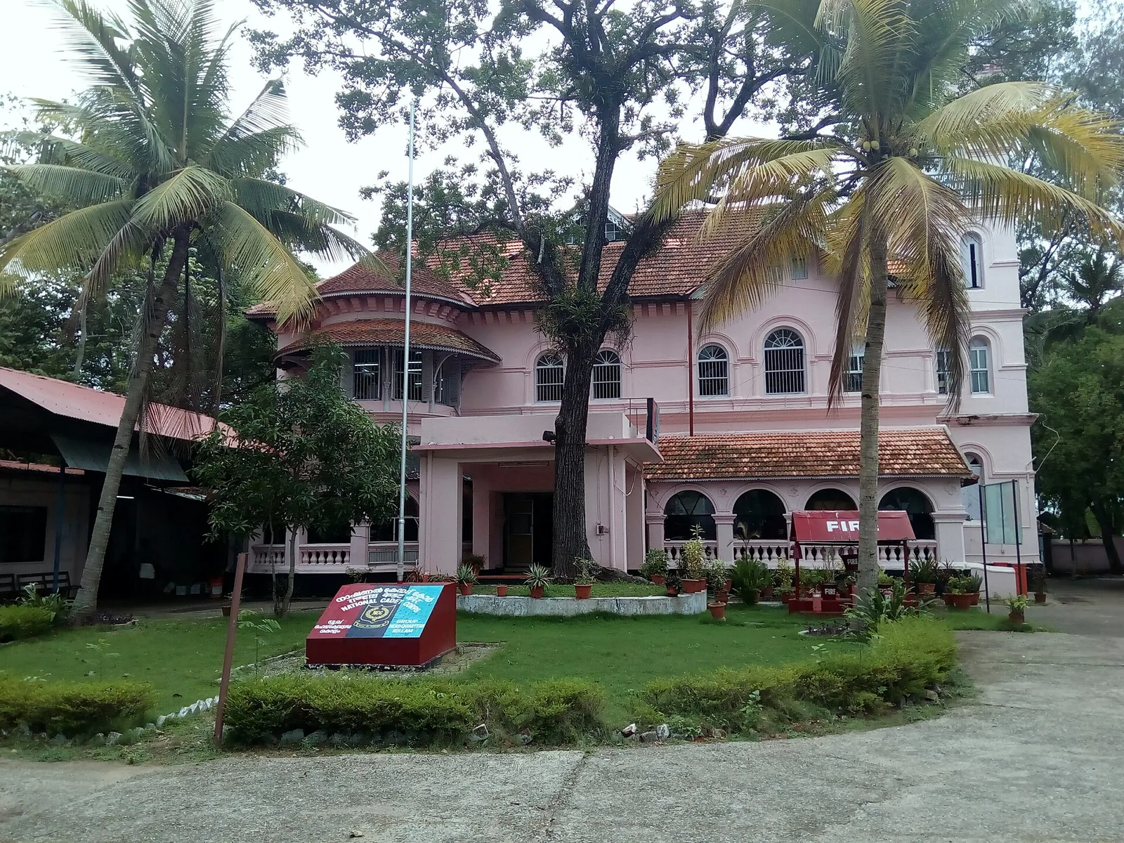
A Travancore royal residence on the Ashtamudi shore in Kollam, built to be arrived at by boat and now a working NCC establishment — viewed from outside or from the water.
2.1 km · 26 min walk
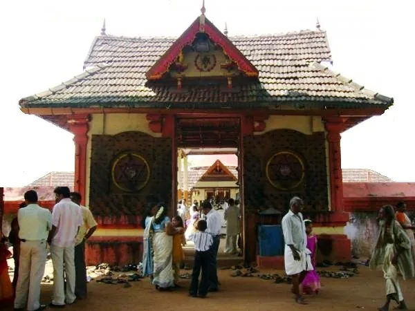
Anandavalleeswaram is an active Shiva temple in Kollam, with an Anandavally shrine and a ten-day annual festival in March or April. Ritual processions and cultural performances bring another dimension to the temple visit. Follow its worship session, admission and photography rules.
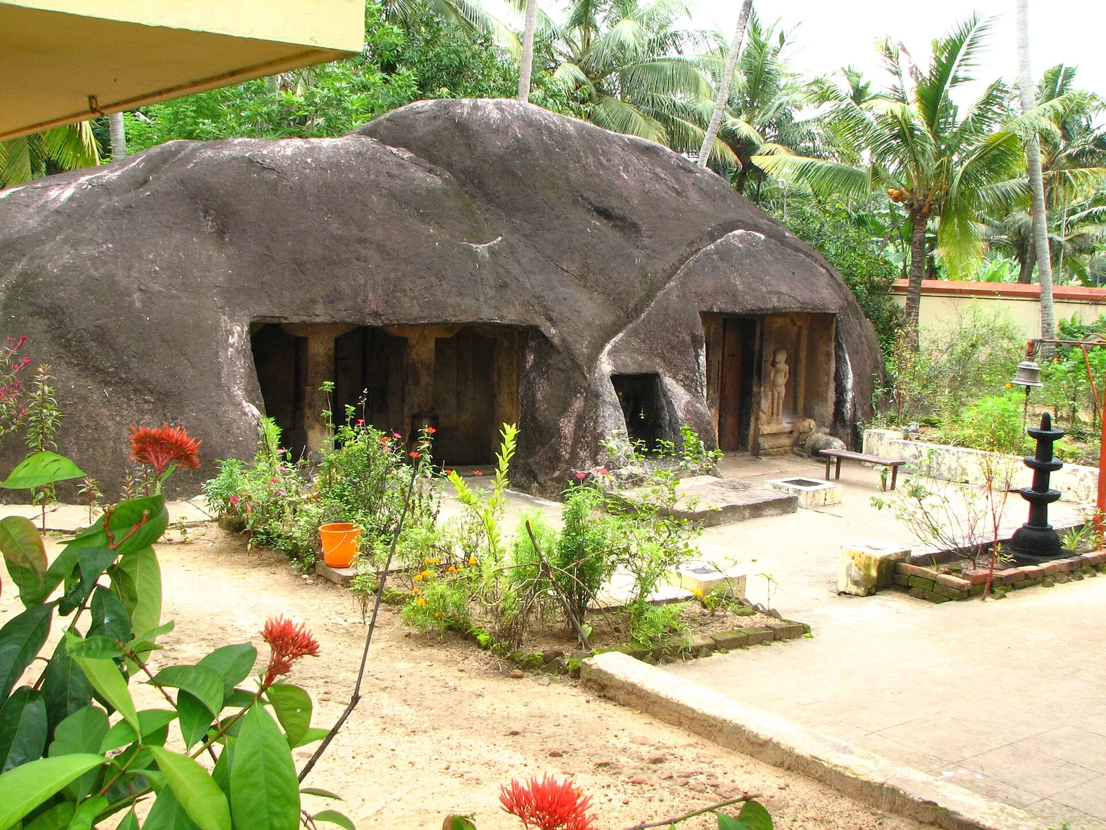
A monolithic rock-cut cave temple near Anchal/Kadakkal in south Kollam, carved with a Shiva shrine.
8.3 km · ~14 min by cab
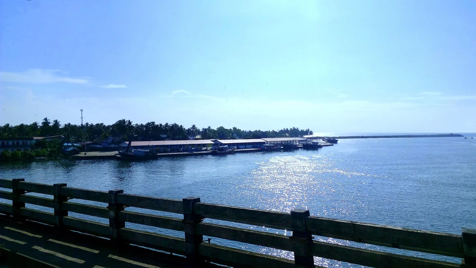
By most accounts Kerala’s largest fishing harbour, at the mouth of Ashtamudi Lake about 9 km from Kollam town, and where Indian fishing was mechanised; two bridges cross the confluence and the early-morning auction is the sight to catch.
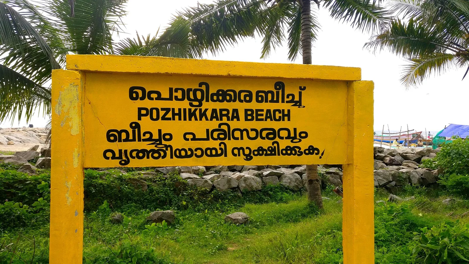
10.3 km · ~17 min by cab
The estuary and beach at Paravur south-east of Kollam, where the Paravur backwaters meet the sea across a sandbar — a quiet spot known for its regulator bridge, the TS Canal and calm backwater-and-sea scenery.
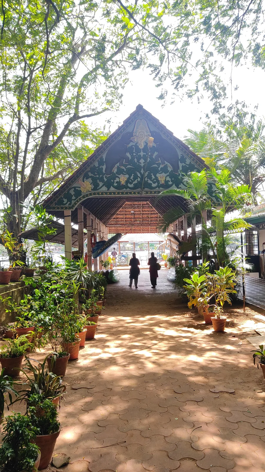
2.1 km · 27 min walk
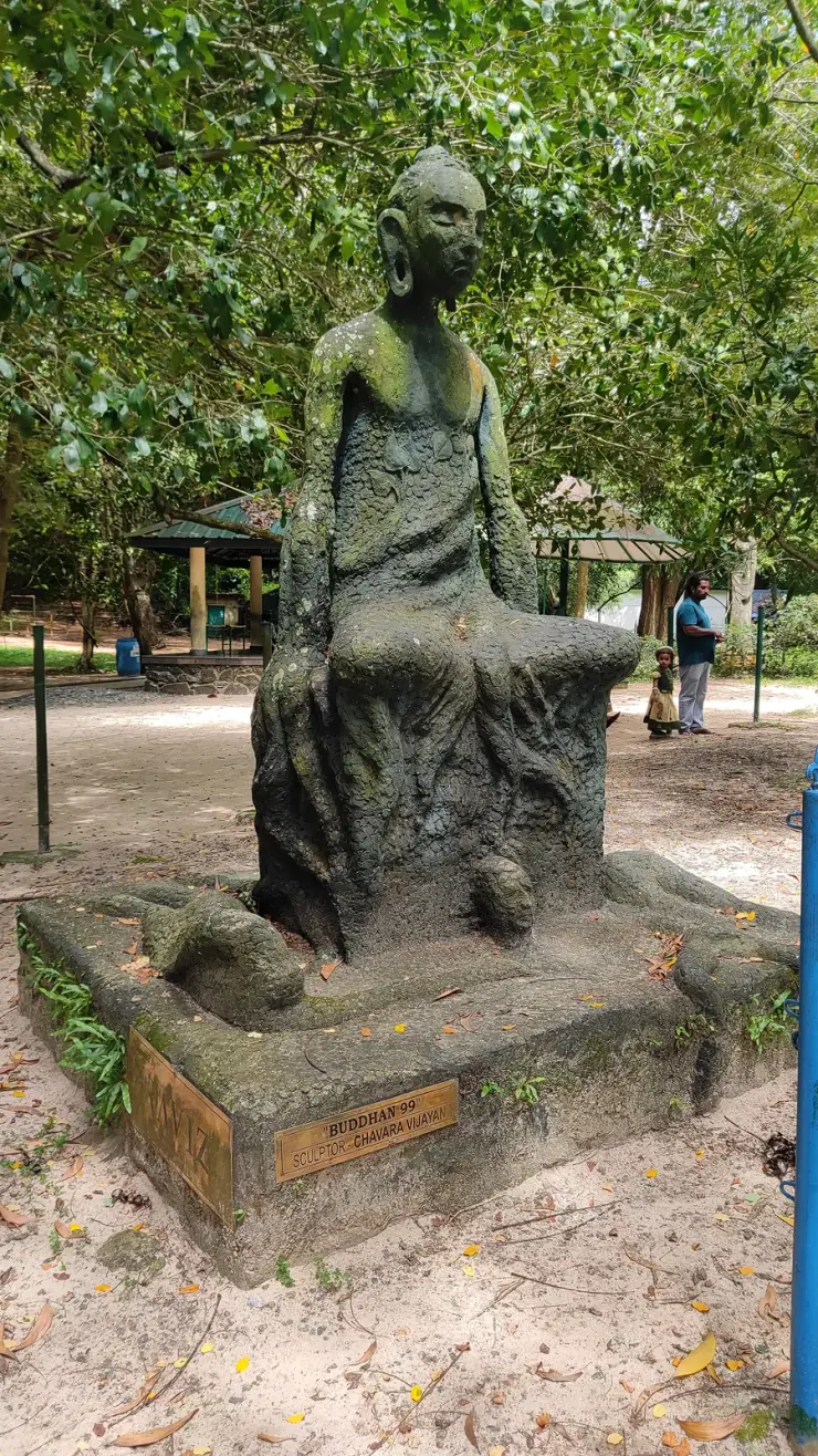
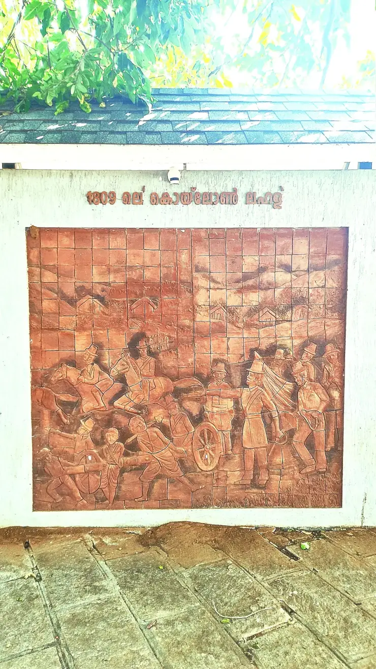
Forty-eight acres of municipal park on the Ashtamudi shore in the middle of Kollam, run by the DTPC — boating and kayaking off a painted jetty, ziplines and rope courses, a heritage walkway of terracotta reliefs, contemporary sculpture left behind by a 2012 festival, and a mangrove wetland with a state biodiversity heritage tag.
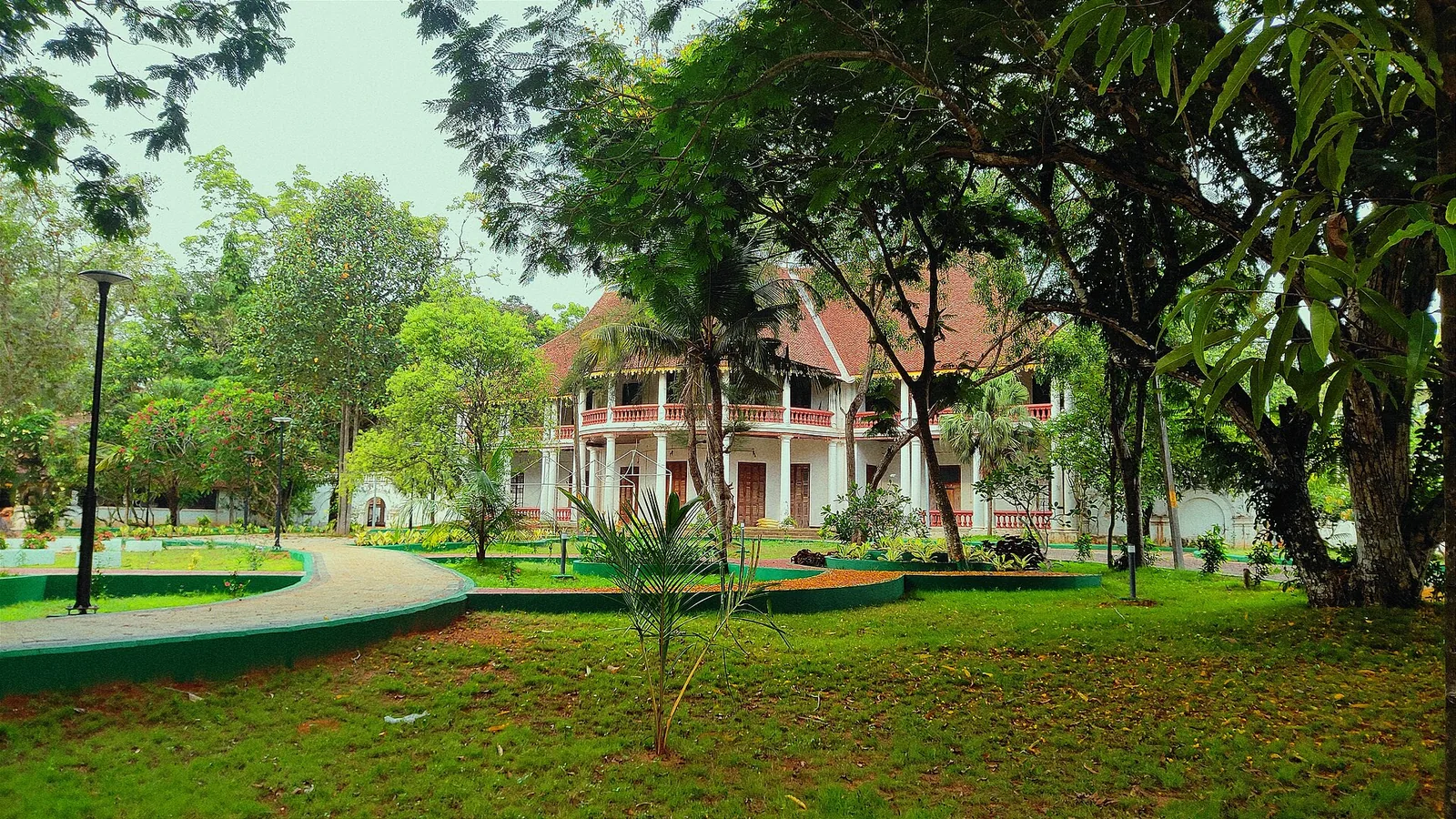
2.3 km · 28 min walk
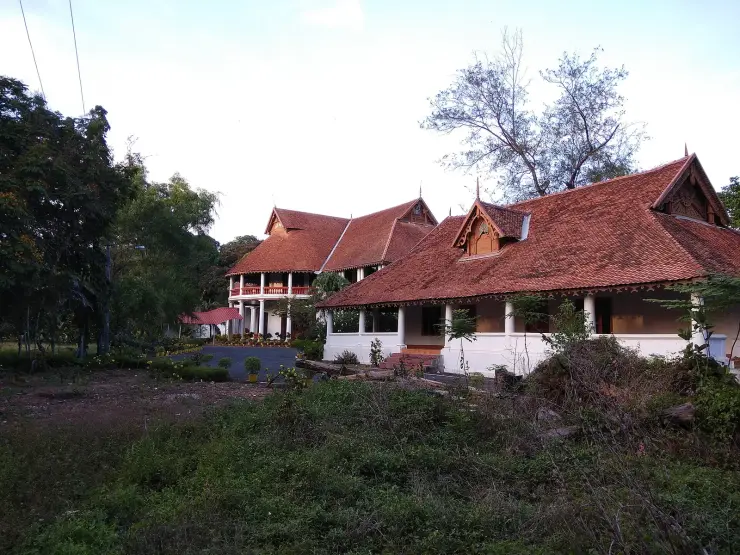
The former British Residency at Asramam survives as a government guest house beside Kollam’s backwater landscape. Its architecture is the attraction, with access governed by its working use.
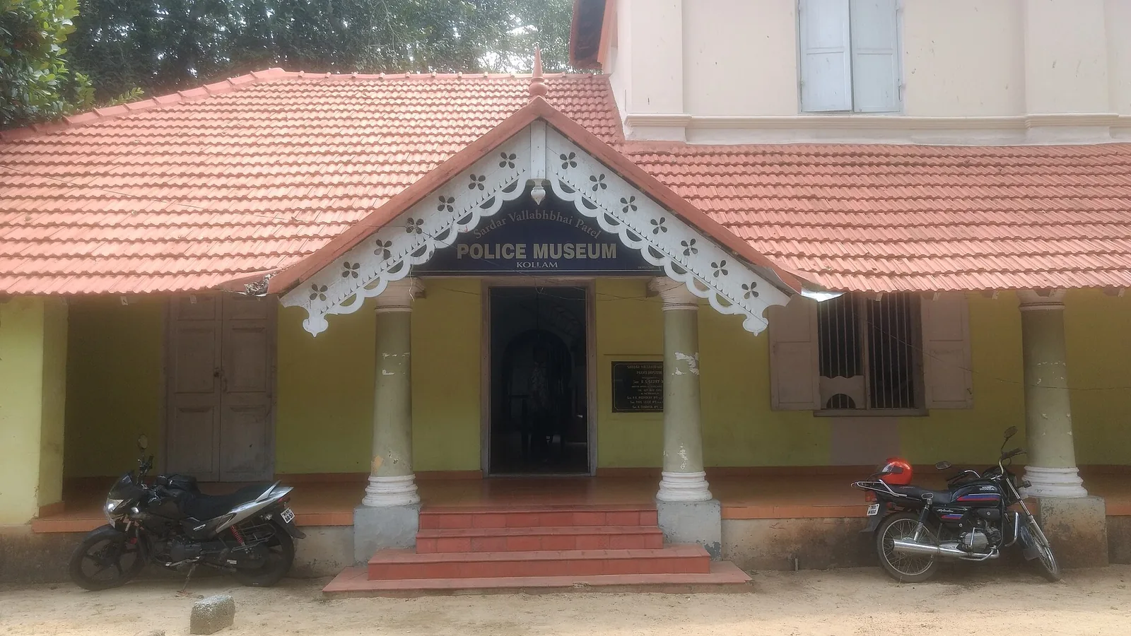
1.4 km · 17 min walk
Kollam’s Sardar Vallabhbhai Patel Police Museum introduces the history of policing through arms, equipment and investigation displays. It offers an indoor history stop during a city outing. Check the museum’s session before choosing your day, and leave time to read the displays.
Roampedia is commission-free — own or know a stay, eatery, guide or shop near Port of Kollam? List it and it appears here once verified.
Add a nearby businessEntry: None. There is no admission counter for the breakwater or the shore, and no booking channel exists.
Dress code: None. Shoes with grip — the walkway is concrete-capped but the rubble either side is uneven and wet.
Photography: No restriction on the breakwater or the shore. ⚠ Do not photograph inside the operational port area without permission; it is a working cargo facility and, since June 2024, a designated immigration checkpoint.
If you are travelling by bus or ferry, check the return service with the operator before setting out. Leave time to reach the stop or jetty after your visit.
Ask at the bus stand for the time of the last service back, not the next one. If you miss it, an auto or app cab is the fallback — agree the fare before you get in.
If you need step-free access, contact the site before travelling. Ask about a level entrance, steps along the route, the nearest drop-off point, seating and accessible toilets.
Charge cap and free-transaction limits: Reserve Bank of India, in force since 1 May 2025.
These services are listed within about 1.2 km of Port of Kollam. Walking distances follow mapped routes; access and opening hours can change. Other services may be closer but are not included here.
Emergency numbers are verified against official government and state tourism sources. 112 works anywhere in India.
The city’s Mahatma Gandhi beach and park on the Arabian Sea, a popular evening spot near Kollam town.
1.0 km · 12 min walk · straight lineKollam’s Sardar Vallabhbhai Patel Police Museum introduces the history of policing through arms, equipment and investigation displays. It offers an indoor history stop during a city outing. Check the museum’s session before choosing your day, and leave time to read the displays.
1.4 km · 17 min walk · straight lineLarge palm-fringed backwater system and houseboat base around Kollam.
1.7 km · 22 min walk · straight lineThangassery Lighthouse raises Kollam’s sea view above a historic coastal neighbourhood. The red-and-white tower is a working navigation landmark with a separate visitor session.
1.9 km · 24 min walk · straight lineAnandavalleeswaram is an active Shiva temple in Kollam, with an Anandavally shrine and a ten-day annual festival in March or April. Ritual processions and cultural performances bring another dimension to the temple visit. Follow its worship session, admission and photography rules.
2.1 km · 26 min walk · straight lineForty-eight acres of municipal park on the Ashtamudi shore in the middle of Kollam, run by the DTPC — boating and kayaking off a painted jetty, ziplines and rope courses, a heritage walkway of terracotta reliefs, contemporary sculpture left behind by a 2012 festival, and a mangrove wetland with a state biodiversity heritage tag.
2.1 km · 27 min walk · straight lineThe former British Residency at Asramam survives as a government guest house beside Kollam’s backwater landscape. Its architecture is the attraction, with access governed by its working use.
2.3 km · 28 min walk · straight lineA Travancore royal residence on the Ashtamudi shore in Kollam, built to be arrived at by boat and now a working NCC establishment — viewed from outside or from the water.
2.8 km · ~7 min by auto · straight lineA quiet, curved bay beach west of Kollam town, calmer than the city beach and good for a relaxed evening.
3.8 km · ~9 min by auto · straight lineBy most accounts Kerala’s largest fishing harbour, at the mouth of Ashtamudi Lake about 9 km from Kollam town, and where Indian fishing was mechanised; two bridges cross the confluence and the early-morning auction is the sight to catch.
8.3 km · ~14 min by cab · straight line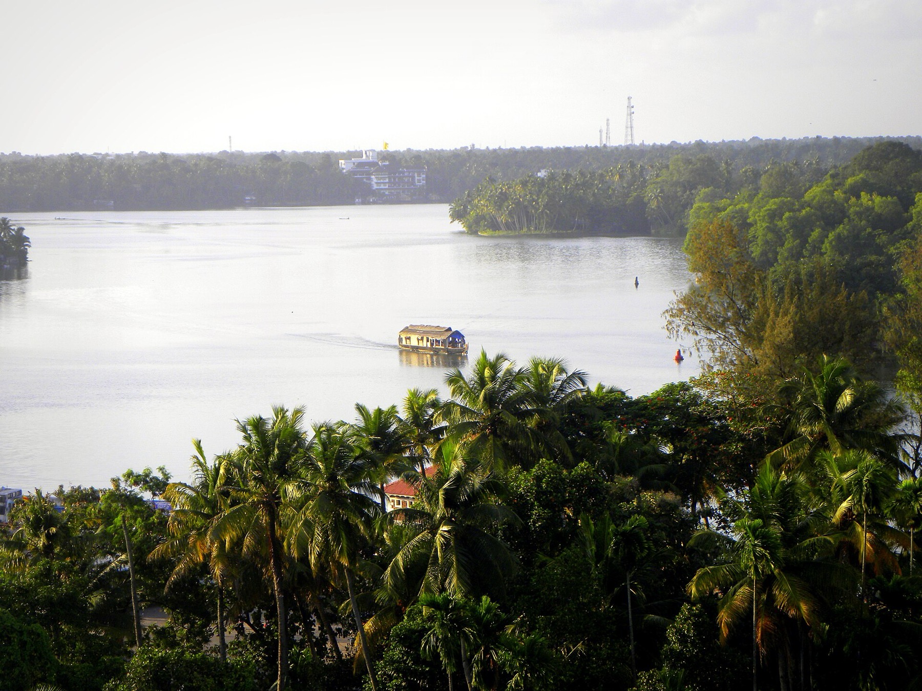
The open-water outlooks on the Munroe Island and Perumon side of Ashtamudi, where the lake widens out — the wide views the canal trips themselves do not give you.
9.3 km · ~16 min by cab · straight lineThe estuary and beach at Paravur south-east of Kollam, where the Paravur backwaters meet the sea across a sandbar — a quiet spot known for its regulator bridge, the TS Canal and calm backwater-and-sea scenery.
10.3 km · ~17 min by cab · straight lineNearby toilets, pharmacies, ATMs, seating and vets are community-mapped and may be incomplete or out of date. Map data © OpenStreetMap contributors | Walking times © openrouteservice.org by HeiGIT
The breakwater is the visit, and it is a genuine public walk — a concrete-capped path running out along the rubble arm, used heavily in the evenings. The operational wharf is a working cargo facility and not somewhere to wander into. Treat the two as separate places that happen to be adjacent.
The conventional founding date is AD 825, and the Malayalam calendar counts from it. But treat that as a traditional date rather than a documented one: no founding charter survives, and the sources disagree about who founded it and under which king. The earliest hard evidence is a little later — the Tarisappalli copper plates of 849 CE — and the earliest coin evidence from the seabed is Tang, which is earlier still.
The sources genuinely disagree. One tradition names Mar Abo with the sanction of Udayamarthandavarma; another names two Church of the East bishops, Mar Sabor and Mar Proth, with the permission of Ayyanadikal Thiruvadikal of Venad. Mar Abo and Mar Sabor are generally taken to be the same person. The royal name differs between tellings and neither version rests on a document that can be produced.
Thousands is the figure reported for what dredging brought up off the coast in 2014, and it is repeated in the peer-reviewed literature. The assemblage that was actually collected, measured and published is 44 coins, 43 of them datable — 36 Northern Song, 5 Tang, 2 Southern Song. We print both numbers because they describe different things, and we are not aware of any published catalogue of the larger figure.
Probably not, and the archaeologists who published them say so. There is no scholarly agreement on the point, and they note that Chinese cash was valued by form and size rather than metal content — so in a port where Chinese merchants were principals, the coins may have had no local monetary value and trade may have been settled by other means. The coins are better read as evidence of who was present than of how anything was paid for.
They are a separate discovery, five years earlier. Lower Palaeolithic implements were recovered from the Thangassery seabed in August 2009 by a team led by P. Rajendran. Sources that describe one January 2014 find of "Chinese coins and Stone Age weapons" have merged two unrelated events.
We do not print a rank. English Wikipedia's infobox says third; a Commons caption on a photograph of the same port says second; we found no official Kerala Maritime Board list that settles it, and any ranking would date quickly now that Vizhinjam is operating. The wharf is about 177 metres long with a 6.5-metre draught, which tells you more than an ordinal would.
The Thangassery lighthouse is close and gives the best overall view of the breakwater and anchorage. Kollam Beach and Thirumullavaram Beach are both a short drive, and Ashtamudi Lake — which is the reason this harbour existed at all — begins immediately behind the town.
November to February and early mornings are best for walking; avoid midday heat where possible.
Entry: None. There is no admission counter for the breakwater or the shore, and no booking channel exists. Timings: The breakwater is open shore and has no gate, no counter and no published hours; it is used most heavily in the late afternoon and evening. The operational wharf is a working cargo facility of the Kerala Maritime Board and is not open to visitors.
Base yourself in Kollam town or a nearby town in Kollam, then confirm the last-mile route locally before leaving. Walkable heritage areas are best done slowly; combine nearby streets, museums, markets and food stops. If the visit depends on forest, temple, boat, ferry, weather or seasonal access, check the official/local rule on the day before travel.
1 to 3 hours.
Nearby you can pair Kollam Beach (1.0 km), Sardar Vallabhbhai Patel Police Museum (1.4 km), Ashtamudi Lake (1.7 km), Thangassery Lighthouse (1.9 km).
Watch traffic on narrow heritage streets. Keep valuables close in crowded markets.
Written about Port of Kollam itself — its history, its legends and the arguments about them.
These guides explore Kollam town and the surrounding area. Choose a visit that fits your interests, allowing separately for travel between stops.
Route-level itineraries and practical guides for the rest of Kerala.
Photographs: Arunvrparavur (CC BY-SA 3.0), Akhilan (CC BY-SA 4.0). Wikimedia Commons.