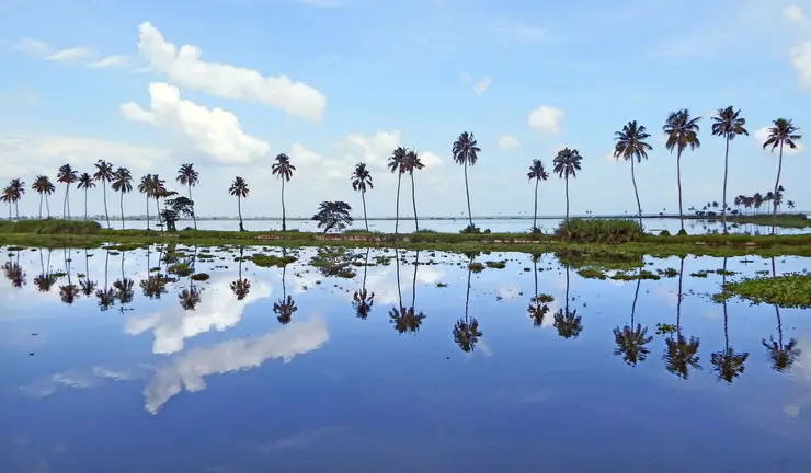
What to expect
Highlights
- Viewpoint stop at Ilaveezhapoonchira
- Photography and landscape views
- Good add-on to nearby town or hill routes
A high grassland basin ringed by hills in eastern Kottayam, famous for sunrise, sunset and monsoon-green meadows.
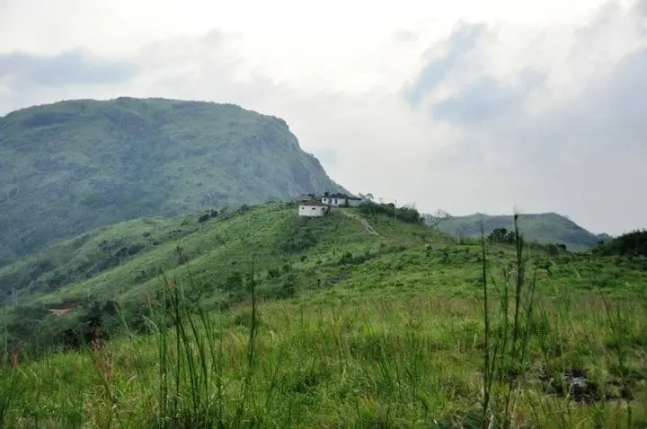
Ilaveezhapoonchira is a wide, rolling grassland ringed by three hills on the Kottayam–Idukki border, famous for its sweeping high-range views, monsoon-green meadows and one of the most photographed sunrises and sunsets in central Kerala.
High on the boundary of Kottayam and Idukki districts, near Melukavu and Kanjar, Ilaveezhapoonchira is one of those places that reveals itself slowly. The last stretch of road climbs through rubber and cardamom country, then the trees fall away and the land opens into bare, rolling grassland. Three green hills — Mankunnu, Kodayathoormala and Thonippara — stand around a shallow valley, and on a clear morning the whole plateau seems to float above the mist gathered in the lowlands below.
The high point sits at roughly 962 metres, about 3,200 feet above sea level, and the reward for reaching it is a genuinely enormous view. From the ridgelines, visitors are said to be able to pick out parts of as many as six neighbouring districts — Idukki, Kottayam, Ernakulam, Alappuzha, Pathanamthitta and Thrissur — with the sheet of the Malankara reservoir catching the light far below. On hazy days the horizon shrinks, but the drama of standing on an open grass ridge with valleys falling away on every side does not.
The name itself is the first thing most visitors ask about. Ilaveezhapoonchira is usually explained as ‘the poonchira where leaves do not fall’ — ila meaning leaf, veezha meaning to fall, and poonchira meaning a meadow-pond or floral basin. The plain reason offered locally is simple and true to the landscape: the hilltops are grassland with almost no large trees, and the constant wind sweeps the slopes clean, so there are no leaves to shed into the hollow. The more romantic explanation belongs to legend, and it is one of the reasons the place has stayed in local imagination for so long.
The other great draw is the poonchira itself. For much of the year the central basin is a green hollow, but during the south-west monsoon, roughly June to August, water gathers off the surrounding hills and pools into a shallow seasonal lake — the ‘pond’ the name promises. This is the season the meadows are at their most vivid, wrapped in cloud that can roll in even at midday, and it is also when the ground is at its most slippery and the weather at its least predictable.
Because there is so little between you and the sky here, Ilaveezhapoonchira has become a favourite with campers and photographers who come up for the sunrise and stay for the sunset. Many string it together with Vagamon and the small Kunjila Dam near Kanjar to make a highland loop through the Erattupetta highlands. Facilities on the hill are minimal — this is open meadow and cliff edge, not a built-up viewpoint — so the visit is as much about the walk, the wind and the changing light as it is about any single spot to stand.
For the approach, use Melukavu as a local orientation point: Kerala Tourism’s route directory places Ilaveezhapoonchira near Melukavu Centre. The summit pin and the place where you can leave a car are different planning questions. Ask about the final road section, the walking distance from the agreed drop-off and the return transport before committing to a sunrise departure.
The open grassland gives very little shelter when cloud or rain moves across the ridge. Plan the turnaround by daylight and visibility, rather than by how many distant districts you hope to identify. A clouded-in visit can still reveal the shape of the nearby hills, but it cannot promise the reservoir panorama shown in a clear-weather photograph. Confirm any overnight arrangement separately; a scenic meadow is not, by itself, an authorised campsite.
The best-known story attached to Ilaveezhapoonchira comes from the Mahabharata and is told as legend rather than history. It holds that the Pandava brothers passed time here during their long exile in the forest, and that Draupadi (also called Panchali) would come down to bathe in the pond in the valley.
In the popular version of the tale, celestial beings tried to spy on her, and Lord Indra, king of the devas, is said to have raised the surrounding hills and heaped them with flowers to screen the pond from prying eyes — leaving the isolated, flower-fringed basin that gives the place its poetic reputation. Another strand of the legend credits Bhima with building the pond for Panchali, and speaks of an old Krishna temple on the hill said to have been founded by Panchali herself.
These are devotional and folkloric traditions, not documented events, and locals tell them as part of the area’s lore. Whichever version you hear, it captures the same idea the plain explanation does — a green, treeless bowl in the hills where leaves never gather.
Ilaveezhapoonchira has little in the way of formal recorded history; its story is largely one of landscape and local memory rather than dynasties or monuments. For generations it was known chiefly to people of the surrounding Melukavu, Kanjar and Teekoy highlands as high grazing land and grassland on the Kottayam–Idukki frontier, wrapped up with the Pandava and temple legends that still cling to it.
What changed its fortunes was tourism. As central Kerala’s hill destinations grew in popularity, Ilaveezhapoonchira came to be promoted as a trekking and viewpoint destination, appearing on Kerala Tourism and Kottayam district listings as a scenic highland stop for both domestic and foreign visitors. Its combination of easy grandeur — big views for relatively little effort — and its unusual name helped it spread by word of mouth and photograph.
Development has stayed light. The site is reached by a ghat road that ends short of the ridges, and visitors typically walk the final stretch to the high points. There are no large resorts or ticketed complexes on the meadow itself, and services such as food, water and lodging are concentrated in the villages below rather than on the hill.
Because it sits close to the Kottayam–Idukki boundary, Ilaveezhapoonchira is often bracketed with the wider Vagamon–Erattupetta highland belt in tourism circuits, and the nearby Kunjila Dam is sometimes added to a day out from Pala or Erattupetta. Visitors should treat any single ‘official’ claim about heights, timings or facilities cautiously and confirm current arrangements locally, as details on the ground can change season to season.
The panoramic views are the headline: open grass ridges with valleys falling away on all sides, and — on clear days — a horizon said to take in parts of up to six districts and the distant Malankara reservoir.
Sunrise and sunset here are locally legendary, with the meadows and mist catching colour in a way that has made the spot a magnet for photographers.
In the monsoon the central basin fills into a shallow seasonal lake and the hills turn intensely green, delivering the ‘poonchira’ the name promises.
The three grass hills — Mankunnu, Kodayathoormala and Thonippara — give a satisfying trek and walk-up without demanding serious mountaineering, ideal for casual trekkers and nature lovers.
It is a popular, relatively wild camping spot, prized precisely because there is so little development between you and the open sky.
Its position lets you fold it into a wider highland circuit with Vagamon and the small Kunjila Dam near Kanjar, making a rewarding loop through the Pala–Erattupetta highlands.
Road km to Kottayam; ghat roads and traffic vary — allow extra.
Clear post-monsoon and winter days are best; mist can block views in hill areas.
Live forecast loads in your browser.
Check the official alert before you travel. Kerala’s beaches, waterfalls and trekking routes close at short notice during heavy rain, and district alert levels change day to day. We do not publish an alert level of our own — read it from the state authority: Kerala State Disaster Management Authority, or the district control room on 1077.
Sun and moon are calculated for this location and shown in IST. Photography windows are the hour around sunrise and sunset; the sunset bearing is degrees clockwise from true north. Moon phase is accurate to about half a day.
Verified hotels, homestays, restaurants, experiences, sights, shops and rentals around Ilaveezhapoonchira — commission-free, with direct contact. Filter by what you need.
Official Sub Regional Transport Office in Pala municipality. Government service · Pala, Transport, Government office.
Book with the place itself. India’s cyber-crime coordination centre warned in April 2025 that convincing copies of hotel and pilgrimage booking sites are being pushed through sponsored search and social ads, taking payment for rooms the property never hears about. Every listing here links to the business’s own contact details and its own Google or Bing profile — we take no commission and sit in nobody’s payment path. If a booking page reached you through an ad, check the address bar against the property’s own site before you pay. Fraud can be reported on cybercrime.gov.in or on 1930.
Find food, accommodation and activities across Pala and Erattupetta highlands. Browse the guides for places to eat, stay and explore along your route.
10 more places around Pala and Erattupetta highlands. Open a guide to plan the visit and onward journey.
A quiet upland picnic and viewpoint area in eastern Kottayam, best treated as a low-facility daylight stop with the final road checked locally.
A seasonal cascade in the Erumeli side of Kottayam whose pools and rock shelves can change quickly after rain; it is not a guaranteed swimming site.
A local hill landscape near Thalanad in the Meenachil highlands, offering valley views without the managed facilities of a ticketed viewpoint.
A hilltop rock shelter and viewpoint associated with local royal-travel traditions; the uneven ascent and unguarded stone terrain require a dry daylight visit.
A lesser-known Kottayam highland walk where the legitimate trailhead, land access and weather-safe return should be confirmed with local guidance.
7.6 km · ~19 min by auto
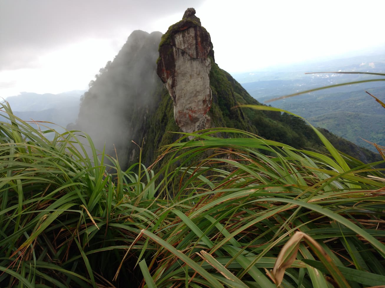
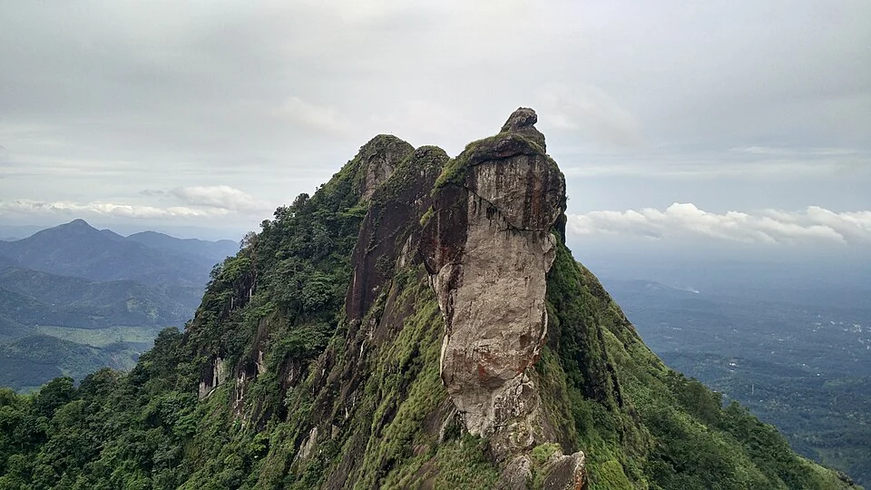
Rocky highland viewpoint popular as a day trip from Kottayam and Pala.
7.4 km · ~18 min by auto
The permitted walking approach to Illikkal Kallu’s viewpoint above Erattupetta; the rock pinnacles are scenery, not a summit-climbing route.
2.0 km · 26 min walk
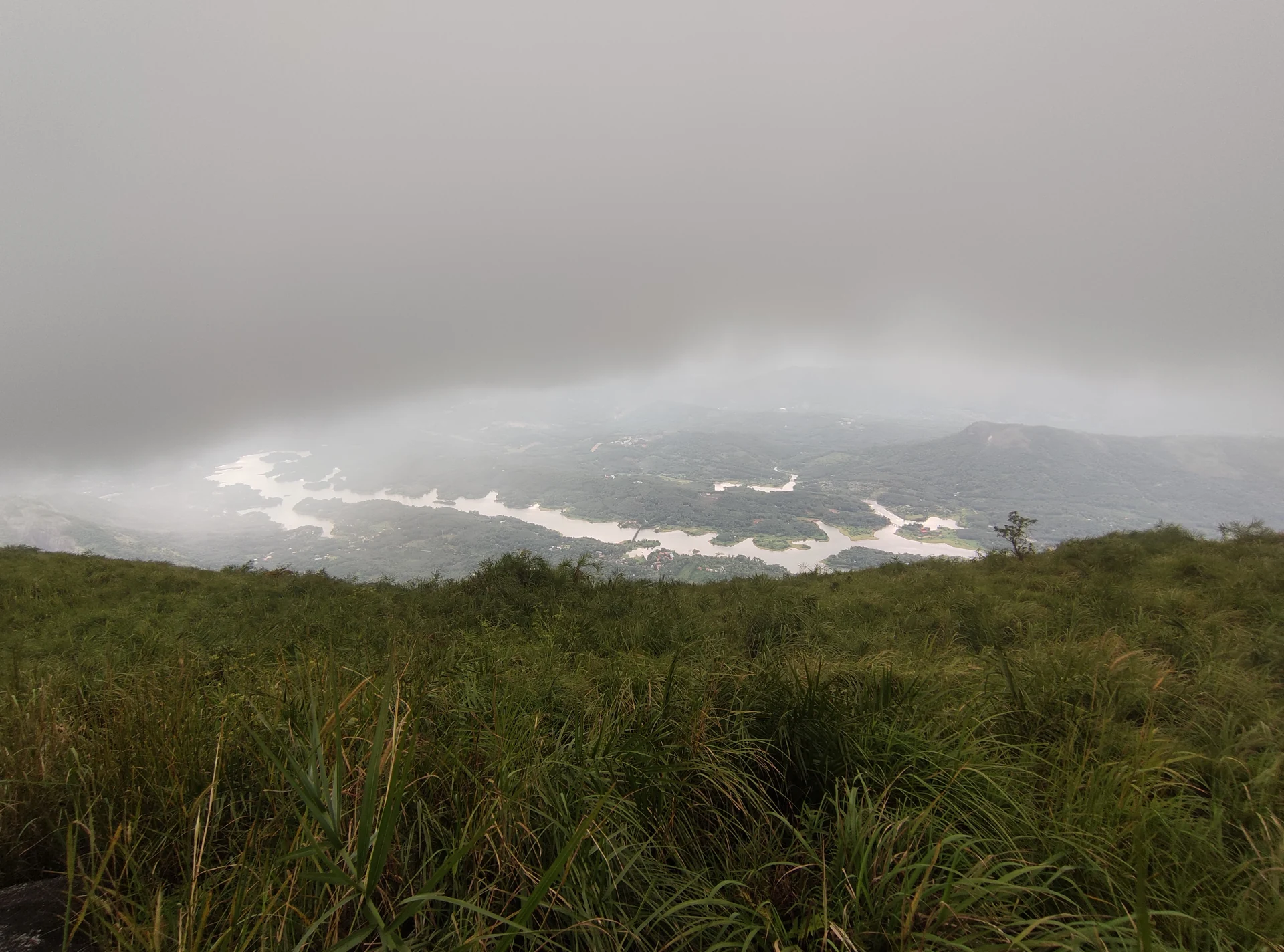
Walking in the open Ilaveezhapoonchira hill landscape near Melukavu, with a visitor roadhead distinct from the exposed upper ridges and the jeep-assisted approach.
13.1 km · ~22 min by cab
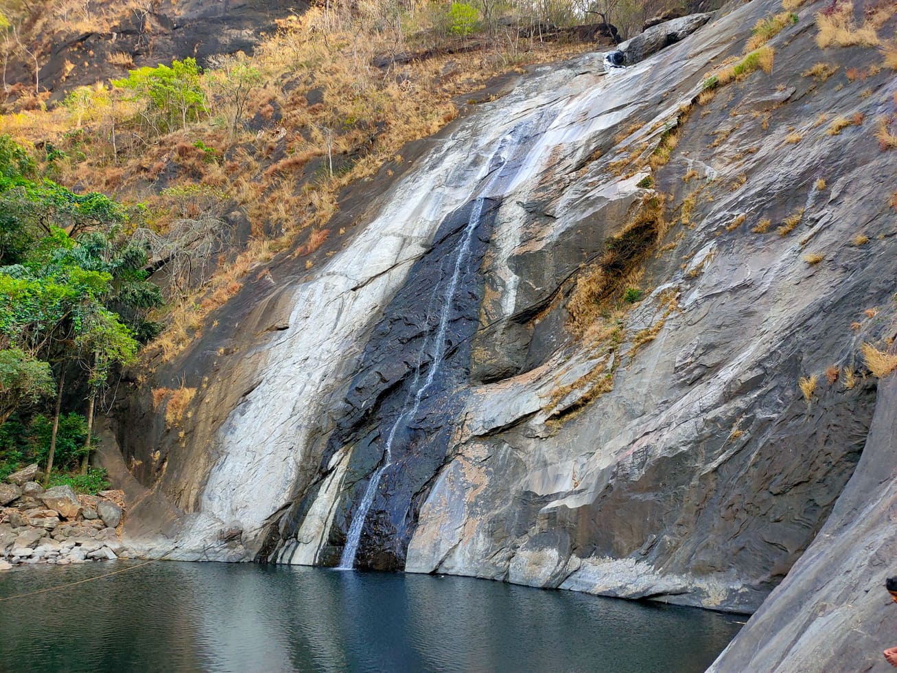
Waterfall reached from the Teekoy/Erattupetta side of the district.
14.1 km · ~24 min by cab
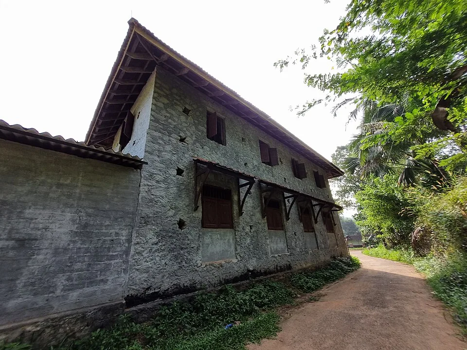
The palace of the Poonjar royal family in Meenachil, holding old sculptures, palanquins, weapons and royal artefacts.
Roampedia is commission-free — own or know a stay, eatery, guide or shop near Ilaveezhapoonchira? List it and it appears here once verified.
Add a nearby businessEntry: No formal entry fee is generally charged for the open meadow; any local parking, guide or access charges should be confirmed on the spot.
Dress code: No formal dress code; wear sturdy shoes with good grip, and carry a windproof or rain layer as it is exposed and the weather turns fast.
Festivals: No major dedicated festival on the hill; local temple observances in the surrounding villages follow the Kerala calendar (confirm locally).
Photography: Freely allowed and one of the main reasons to come — spectacular for sunrise, sunset, mist and wide landscape shots; carry protection for gear in monsoon damp and wind.
If you are travelling by bus or ferry, check the return service with the operator before setting out. Leave time to reach the stop or jetty after your visit.
Ask at the bus stand for the time of the last service back, not the next one. If you miss it, an auto or app cab is the fallback — agree the fare before you get in.
Checked 4 August 2026 against source 1. Conditions change and surfaces vary with weather — if step-free access is essential, confirm with the site before you travel.
These services are listed within about 1.2 km of Ilaveezhapoonchira. Walking distances follow mapped routes; access and opening hours can change. Other services may be closer but are not included here.
Emergency numbers are verified against official government and state tourism sources. 112 works anywhere in India.
Walking in the open Ilaveezhapoonchira hill landscape near Melukavu, with a visitor roadhead distinct from the exposed upper ridges and the jeep-assisted approach.
2.0 km · 26 min walk · straight lineThe permitted walking approach to Illikkal Kallu’s viewpoint above Erattupetta; the rock pinnacles are scenery, not a summit-climbing route.
7.4 km · ~18 min by auto · straight lineRocky highland viewpoint popular as a day trip from Kottayam and Pala.
7.6 km · ~19 min by auto · straight line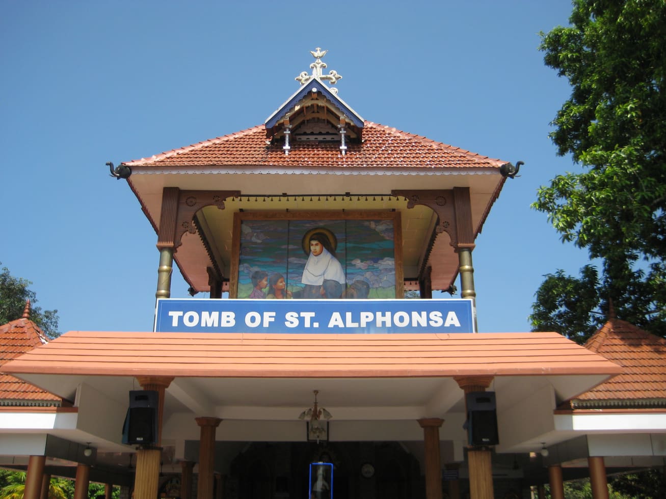
Christian pilgrimage town associated with St. Alphonsa.
11.5 km · ~19 min by cab · straight line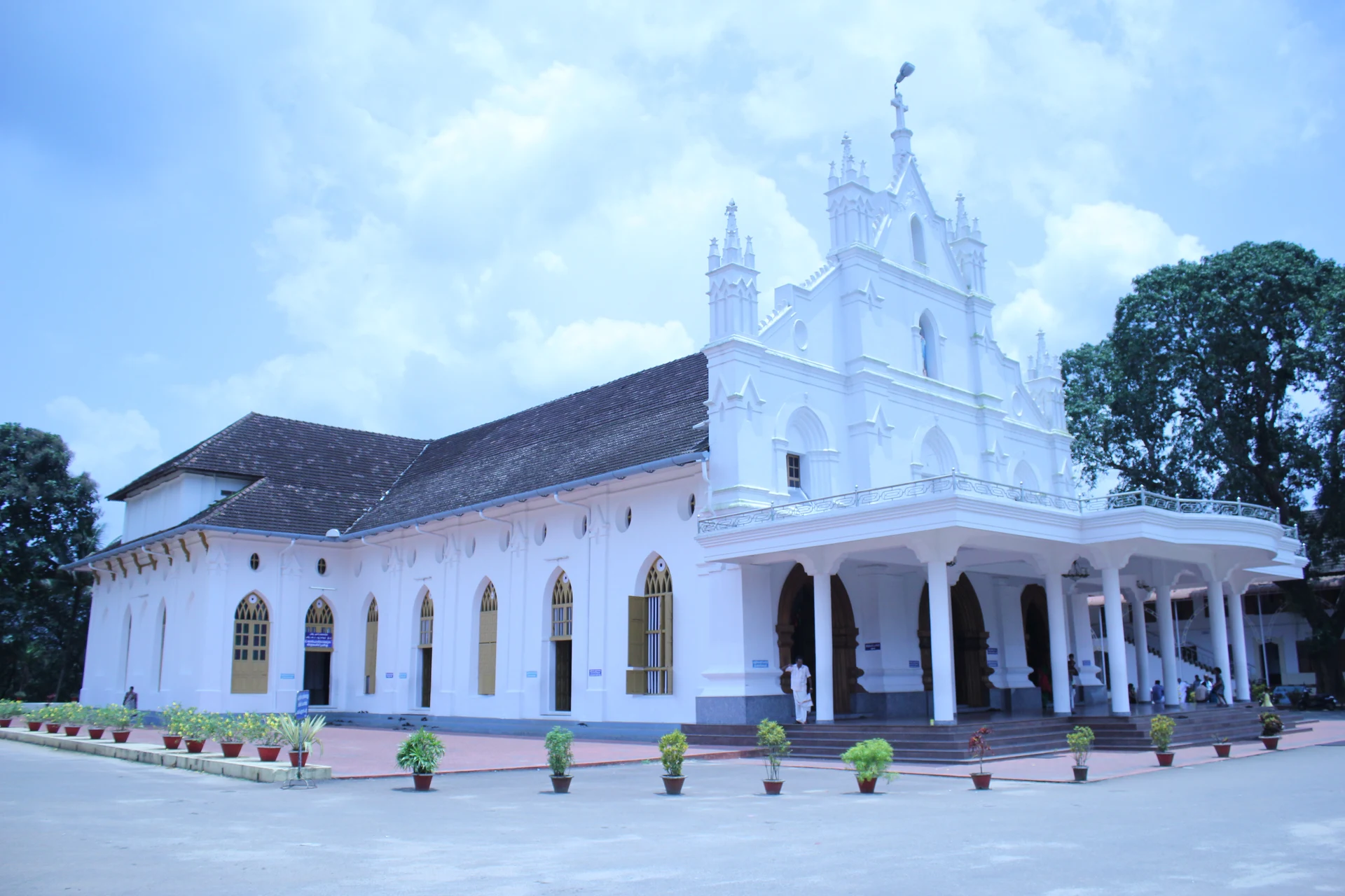
St Mary’s Forane Church, also called Anakkallu Palli, is Bharananganam’s Syro-Malabar parish in the Diocese of Palai. Its white church stands separately from St Alphonsa’s tomb shrine to the north.
11.5 km · ~19 min by cab · straight lineWaterfall reached from the Teekoy/Erattupetta side of the district.
13.1 km · ~22 min by cab · straight lineThe palace of the Poonjar royal family in Meenachil, holding old sculptures, palanquins, weapons and royal artefacts.
14.1 km · ~24 min by cab · straight line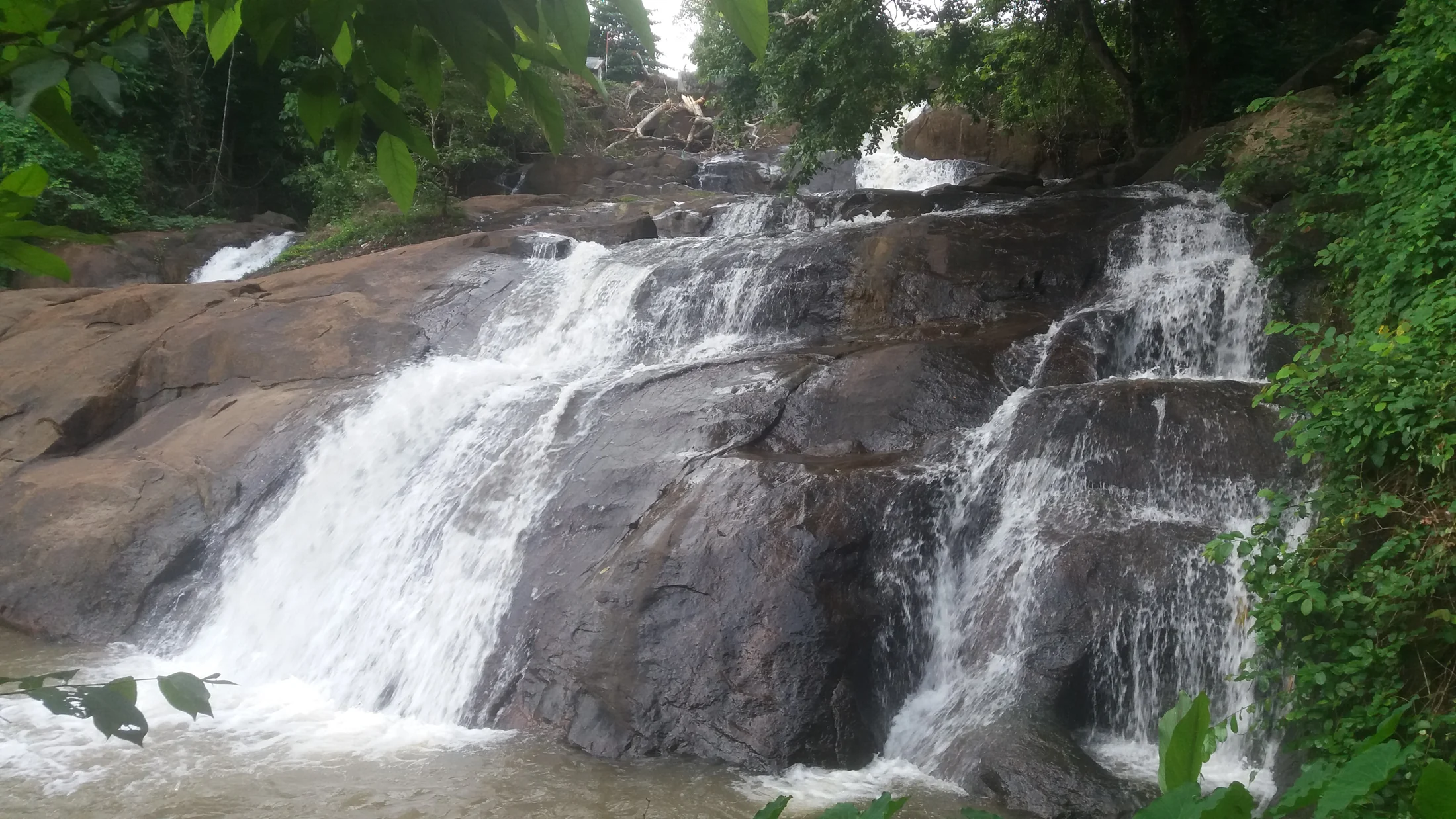
A five-step waterfall in the rubber-growing countryside near Pallickathode, east of Kottayam; this is the Kottayam Aruvikkuzhi, not the similarly named Pathanamthitta falls.
24.1 km · ~40 min by cab · straight line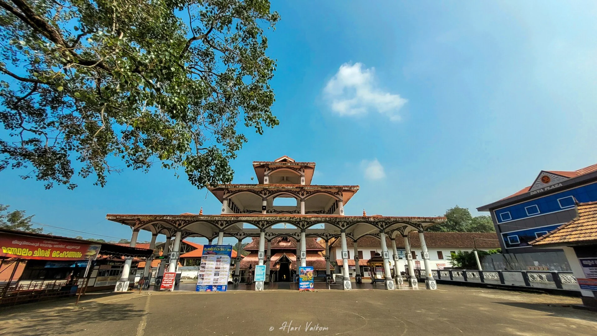
A famous Shiva temple with a golden flagstaff and celebrated 16th-century murals, including the Nadanta-dancing Shiva.
26.4 km · ~44 min by cab · straight line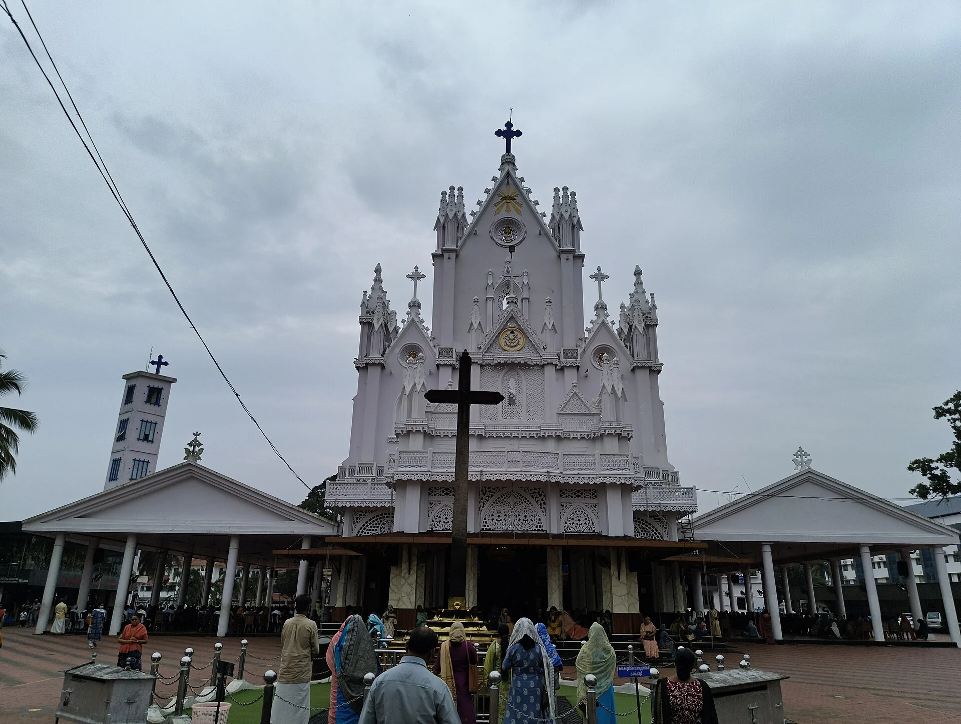
St Mary’s Jacobite Syrian Cathedral at Manarcad, about 8 km from Kottayam town — famed for the eight-day Ettu Nombu lent (1–8 September) and the Manarcad Rasa procession on the sixth day, one of the largest ceremonial processions in Asia.
29.7 km · ~49 min by cab · straight lineA small cave feature on the Vennimala heritage hill, to be combined with a careful reading of the hill and temple landscape rather than promoted as a large show cave.
30.9 km · ~52 min by cab · straight lineAn inhabited wetland and paddy island near Kaduthuruthy, suited to slow village observation and birding with private homes and working fields left undisturbed.
34.3 km · ~57 min by cab · straight lineNearby toilets, pharmacies, ATMs, seating and vets are community-mapped and may be incomplete or out of date. Map data © OpenStreetMap contributors | Walking times © openrouteservice.org by HeiGIT
It is usually explained as ‘the poonchira (meadow-basin) where leaves do not fall’ — ila (leaf), veezha (to fall) and poonchira (a floral meadow or seasonal pond). The everyday reason given locally is that the hills are grassland with almost no large trees and the constant wind sweeps the slopes clean, so no leaves collect in the hollow. A Mahabharata legend offers a more romantic explanation.
As legend (not history), it is said the Pandava brothers stayed here during their forest exile and that Draupadi bathed in the pond in the valley. In the popular tale, Lord Indra raised the surrounding hills and covered them with flowers to screen her from view, and an old Krishna temple on the hill is linked in folklore to Panchali. These are devotional traditions, told locally as legend.
The monsoon, roughly June to August, brings the greenest meadows and fills the seasonal lake, though with mist, rain and slippery ground. The cooler months afterwards often give the clearest long-distance views. Early morning for sunrise and late afternoon for sunset are the most rewarding times of day.
Ilaveezhapoonchira is an open highland meadow rather than a gated attraction, so there is generally no formal ticketing and it is best treated as a daylight-hours destination. Any parking, guide or local charges and current access rules should be confirmed on the spot, as arrangements can change.
It is a well-known camping and sunrise spot, but it is a wild, open location with very few facilities on the hill itself — bring your own supplies and be prepared to be self-sufficient. Food, water and lodging are mostly in the villages below, with only small lodges around Kanjar. Check the latest camping permissions and any organised options locally before planning to stay overnight.
Access is by a winding ghat road that climbs to near the base of the hills, after which visitors usually walk the final stretch to the ridges and viewpoints. Cars can reach the upper area in normal conditions, but the road is narrow and the last part rough; drive with care, especially in the monsoon when it can be wet and slippery.
Clear post-monsoon and winter days are best; mist can block views in hill areas.
Entry: No formal entry fee is generally charged for the open meadow; any local parking, guide or access charges should be confirmed on the spot. Timings: Open highland meadow best visited in daylight; sunrise and sunset are the prime times.
Base yourself in Pala and Erattupetta highlands or a nearby town in Kottayam, then confirm the last-mile route locally before leaving. Go early for clearer light and easier parking; sunset viewpoints can crowd quickly. If the visit depends on forest, temple, boat, ferry, weather or seasonal access, check the official/local rule on the day before travel.
45 minutes to 2 hours.
Nearby you can pair Ilaveezhapoonchira trek (2.0 km), Illikkal Kallu trek (7.4 km), Illikkal Kallu (7.6 km), Bharananganam (11.5 km).
Stay behind barriers and away from cliff edges. Avoid viewpoints during lightning or heavy rain.
Written about Ilaveezhapoonchira itself — its history, its legends and the arguments about them.


These guides explore Pala and Erattupetta highlands and the surrounding area. Choose a visit that fits your interests, allowing separately for travel between stops.


Route-level itineraries and practical guides for the rest of Kerala.
Photographs: Wikimedia Commons contributor (CC BY-SA 3.0), Kerala Tourism, Government of Kerala (Official tourism image — externally hosted), Kottayam District Administration, Government of Kerala (Official tourism image — externally hosted). Wikimedia Commons.