What to expect
Highlights
- Trek route around Pakshipathalam
- Western Ghats landscapes and viewpoints
- Guided operator and permit planning
Brahmagiri Hills trek and cave landscape near Thirunelli, known for birdlife and permit-dependent forest access.
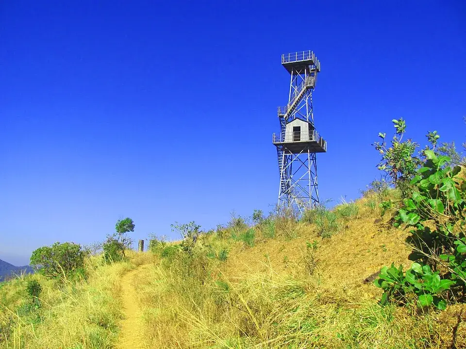
High on the roof of the Brahmagiri hills, where great blocks of rock pile into deep dark caves, lies Pakshipathalam — the ‘underworld of birds’, a hidden roost you can only reach on foot.
Pakshipathalam is not a place you drive to — it is a place you earn. At roughly 1,740 metres on the northern crest of the Brahmagiri hills, about 7 km northeast of Thirunelli, it sits at the very top edge of Wayanad where Kerala spills over into Karnataka. The name says everything: ‘pakshi’ is bird and ‘pathalam’ is the netherworld or underworld of Malayalam legend. Put together it means the underworld of the birds — a fitting name for a cluster of deep rock caves, tucked among tumbled boulders, where thousands of birds shelter in the cool dark.
The heart of the place is its geology. At the summit, colossal blocks of rock have heaped and locked together over ages, leaving crevices and hollows that plunge down into genuine caves — narrow, damp and pitch-black inside. These are the ‘pathalam’, the underworld chambers, and they are what make Pakshipathalam unlike any other viewpoint in Wayanad. You do not simply look at a scene; you scramble down between boulders into the cavities where the birds themselves live.
It is, above all, a birdwatcher’s pilgrimage. The caves and the surrounding shola-and-grassland belt shelter a large population of Western Ghats birds, and a rustic watchtower on the ridge lets you scan the canopy and the sky for rare species. Birders come hoping for the Asian fairy-bluebird, the Indian paradise flycatcher, the gold-fronted chloropsis (leafbird) and the emerald dove among many others. The best-known cave, Munikal, is famous as a night and dawn roost — and, by report, a haunt of the edible-nest swiftlet, the bird that builds its nest almost entirely from its own hardened saliva.
Getting there is a proper trek, not a stroll. The route runs from behind Thirunelli Temple and climbs for roughly 3 to 4 hours across a changing landscape — first moist deciduous woodland, then rolling hillocks and open grassland, then slippery rock trails, and finally the boulder maze and the caves themselves. Depending on the path and the day, walkers cover somewhere in the region of 7 to 8 km of trail (some accounts cite a longer approach of around 17 km in total). It crosses the infant Papanasini stream, which rises in these hills, and passes named landmarks like Garudan Kunnu — a rock projection said to resemble an eagle — and Bhoothathan Kunnu.
Because this is protected ground deep inside elephant and tiger country, you cannot wander in alone. Entry needs prior permission from the Forest Department and, in practice, an accompanying guide; camping on the peak is not allowed, so every visitor must turn back and be off the mountain before dark. That regulation is part of what keeps Pakshipathalam wild — no resorts, no crowds, no road to the top, just the trees, the wind on the grassland and the birds calling from the rocks.
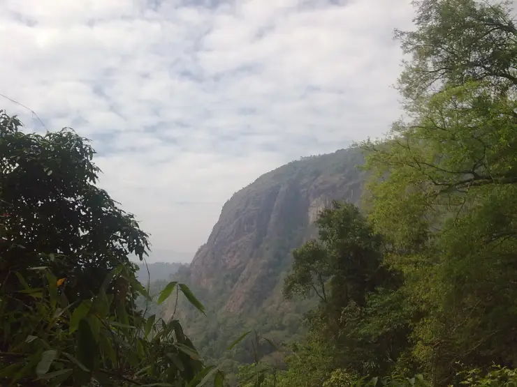
The reward is a sense of arriving somewhere genuinely remote. From the ridge the Brahmagiri range rolls away in blue folds toward Coorg, the grasslands hiss in the breeze, and far below the caves the whole of northern Wayanad seems to fall away. For anyone who wants their Wayanad wilder, quieter and harder-won than the tourist waterfalls, Pakshipathalam is the trek that delivers it.
The caves carry an old tradition that gives the ‘pathalam’ name its deeper meaning. By local lore these deep rock hollows — and the Munikal or ‘sage’s rock’ cave in particular — were used in ancient times by munis, rishis and ascetics as places of meditation and penance, drawn to the silence and isolation of the high boulders. The story sits naturally beside neighbouring Thirunelli, one of Kerala’s most sacred pilgrimage temples, and the belief that saints of olden times retreated into these underworld caves is retold to this day, though it is offered as tradition and legend rather than documented history.
Pakshipathalam lies on the northern spur of the Brahmagiri hills, the range that forms the Kerala–Karnataka watershed above Wayanad; the Karnataka face of the same massif, reached from Irupu Falls in Coorg, is where the Brahmagiri name is more commonly used. On the Kerala side the site is administered as reserve land near Thirunelli and Tholpetty in North Wayanad, and it is frequently described as a bird sanctuary and eco-tourism trek rather than a built attraction.
The altitude is consistently reported at about 1,740 metres above sea level, placing it among the higher accessible points in Wayanad. At that elevation the habitat shifts from the deciduous woodland of the lower slopes to montane grassland and shola pockets, with the summit boulder-field and its caves forming the distinctive top.
Its ornithological reputation is the reason it is protected and permit-controlled. The deep rock caves and the surrounding cover support a large and varied bird population, and the endangered edible-nest swiftlet is among the species associated with the Munikal cave roost — a genuinely unusual feature, since that bird’s saliva-built nests are the same type prized elsewhere in Asia. A simple watchtower has been provided on the ridge to aid observation without disturbing the roosts.
Access has long been regulated by the Forest Department. Visitors need prior permission (arranged via the department’s offices around Thirunelli/Tholpetty/Appapara, with vehicles and guides available through the District Tourism Promotion Council), and the trek is guided because it runs through prime wildlife habitat. Camping on the peak is prohibited and the area is typically closed through the dry pre-monsoon months, roughly February to April or May, when the risk of forest fire is high.
The wider landscape is part of the tribal and forest heartland of North Wayanad, close to the Tirunelli–Kutta forest belt and the Brahmagiri Wildlife Sanctuary across the state line, an ecologically sensitive corridor for elephants, tigers and Western Ghats endemics — which is exactly why the caves have stayed a foot-only, guide-only wilderness rather than a developed viewpoint.
Genuine deep rock caves — you climb down among giant boulders into the birds’ ‘underworld’, not just a viewpoint.
A serious Western Ghats birding destination: fairy-bluebird, paradise flycatcher, leafbird, emerald dove and the rare edible-nest swiftlet.
A real guided forest trek through deciduous jungle, grassland and rock — earned, not driven to.
A ridge-top watchtower with sweeping views across the Brahmagiri hills toward Coorg.
Remote, permit-controlled and uncrowded — one of the wildest, quietest corners of Wayanad.
Pairs perfectly with the sacred Thirunelli temple and the Papanasini stream at the foot of the trail.
Road km to Wayanad; ghat roads and traffic vary — allow extra.
Post-monsoon to late winter is usually best; avoid heavy-rain days and closed forest periods.
Live forecast loads in your browser.
Check the official alert before you travel. Kerala’s beaches, waterfalls and trekking routes close at short notice during heavy rain, and district alert levels change day to day. We do not publish an alert level of our own — read it from the state authority: Kerala State Disaster Management Authority, or the district control room on 1077.
Sun and moon are calculated for this location and shown in IST. Photography windows are the hour around sunrise and sunset; the sunset bearing is degrees clockwise from true north. Moon phase is accurate to about half a day.
These are official or public-sector eco offerings that match this place, town or forest destination. Confirm availability, permits, tariffs and reporting times with the official operator before travel.
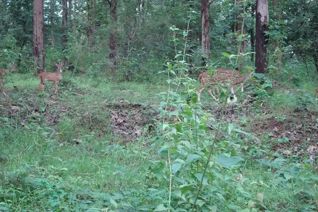
Northern Wayanad wildlife safari zone around Tholpetty, usually planned from Mananthavady or Thirunelli.
Official source →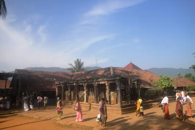
Temple, forest and Brahmagiri-edge landscape in north Wayanad, listed among Kerala Tourism ecotourism destinations.
Official source →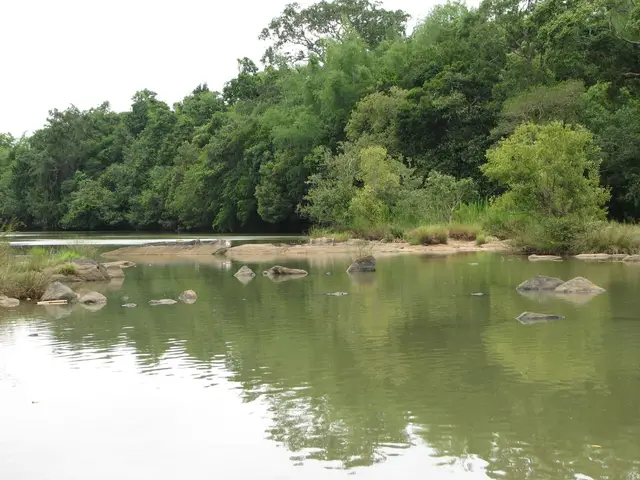
River-island eco-tourism area with seasonal and carrying-capacity restrictions; confirm opening status before travel.
Official source →Verified hotels, homestays, restaurants, experiences, sights, shops and rentals around Pakshipathalam — commission-free, with direct contact. Filter by what you need.
Plantation resort restaurant in Mananthavady. Parisons Plantation Experiences by ABAD, Wayanad, near Mananthavady, Kerala · Plantation resort restaurant, ABAD Parisons Plantation Restaurant.
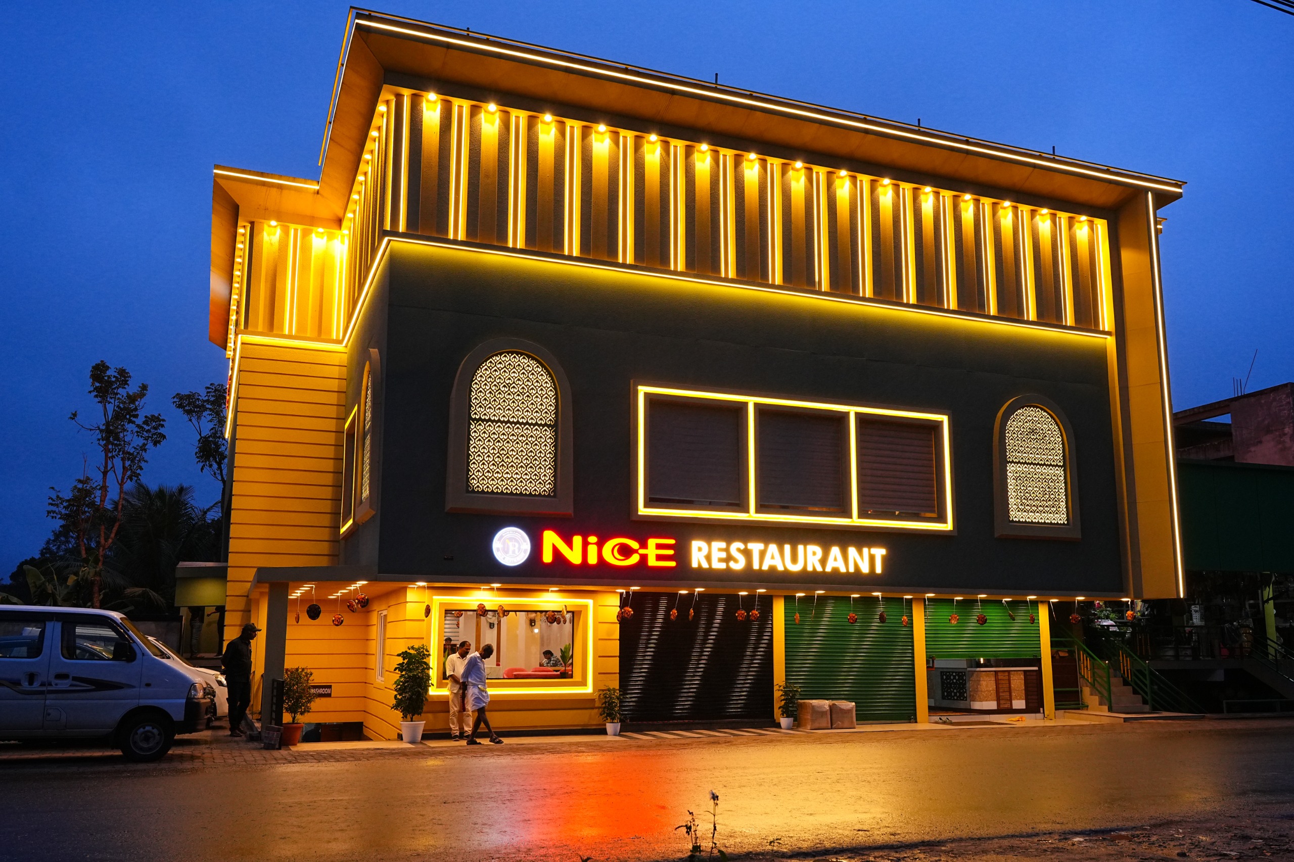
Nice Restaurant is a Mananthavady-side restaurant at Kuzhinilam, useful as a sourced food stop for north Wayanad, Tholpetty and Kuruva routes. Mananthavady food, Restaurant, Kuzhinilam.
A family-run Kerala restaurant at Kuzhinilam in Mananthavady town, open 25 years. Pepper roasts, mappas and biryani lead a menu of traditional Kerala fare.
Book with the place itself. India’s cyber-crime coordination centre warned in April 2025 that convincing copies of hotel and pilgrimage booking sites are being pushed through sponsored search and social ads, taking payment for rooms the property never hears about. Every listing here links to the business’s own contact details and its own Google or Bing profile — we take no commission and sit in nobody’s payment path. If a booking page reached you through an ad, check the address bar against the property’s own site before you pay. Fraud can be reported on cybercrime.gov.in or on 1930.
Find food, accommodation and activities across Mananthavady. Browse the guides for places to eat, stay and explore along your route.
9 more places around Mananthavady. Open a guide to plan the visit and onward journey.
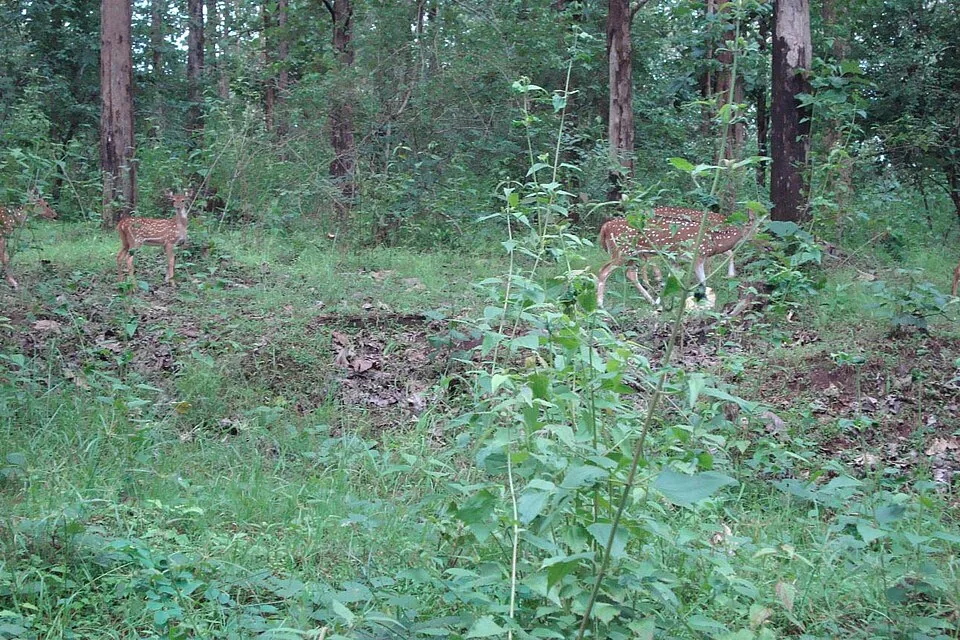
11.2 km · ~19 min by cab
Tholpetty Wildlife Sanctuary is the Mananthavady-side wildlife gateway of Wayanad Wildlife Sanctuary. Plan it through current official safari timing, forest contact checks and responsible road buffers before adding nearby stays, food or drivers.
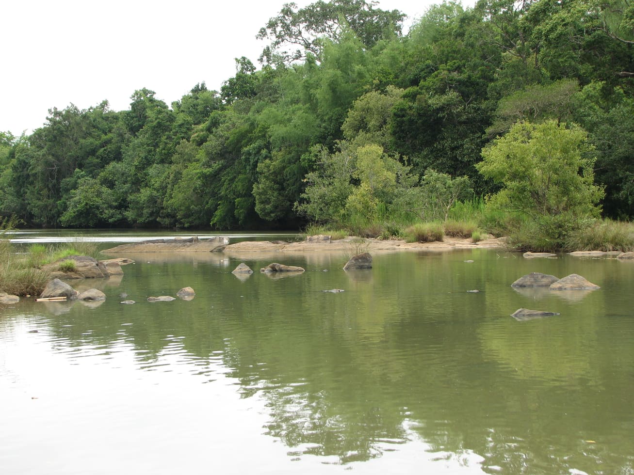
18.3 km · ~31 min by cab
Protected river-island eco-tourism area on the Mananthavady/Pulpally side, with seasonal and capacity-based access restrictions.
11.7 km · ~19 min by cab
The Mananthavady Tribal Plantation Co-operative tea estate at Pancharakolly, combining a plantation walk, factory, museum, tasting and Vishwas Point.
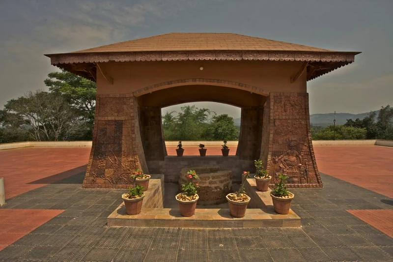
17.8 km · ~30 min by cab
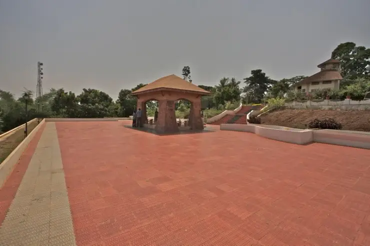
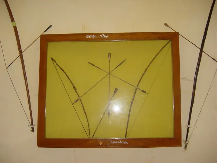
Pazhassi Raja’s memorial and the Kerala Archaeology Department museum at Mananthavady’s Hospital Hill, with four galleries connecting the resistance leader, Wayanad’s communities and the district’s material history.
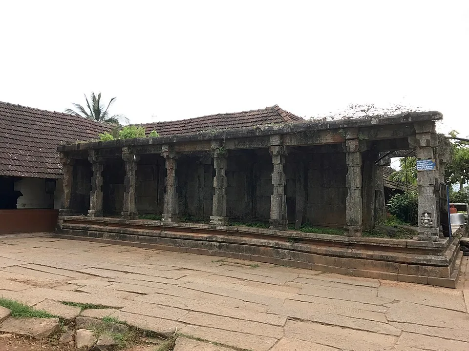
6.6 km · ~17 min by auto
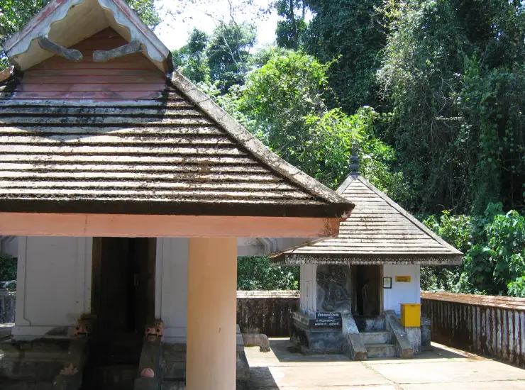
Thirunelli Temple is a north-Wayanad forest-edge temple near the Brahmagiri landscape, usually planned from Mananthavady or Thirunelli. Check temple timing, road conditions and respectful visitor rules before pairing it with Tholpetty or Kuruva routes.
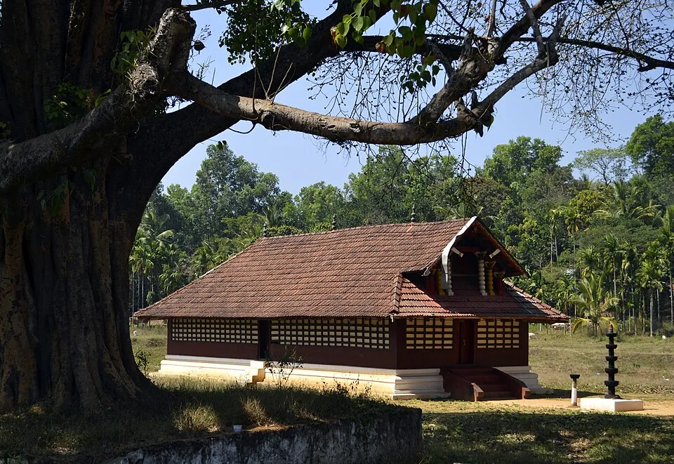
19.7 km · ~33 min by cab
Important Mananthavady-side Bhagavathy temple known for festival and local cultural context.
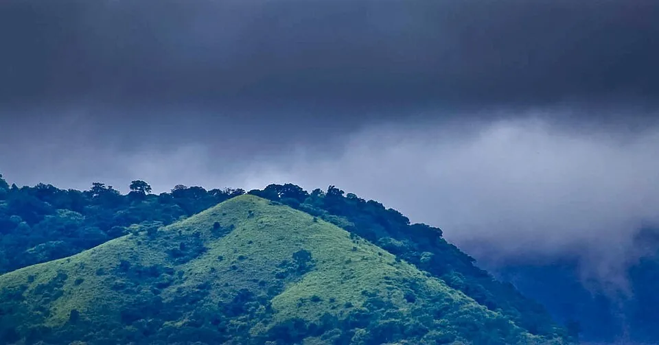
Highland forest-and-peak landscape near Thirunelli, with access dependent on rules and conditions.
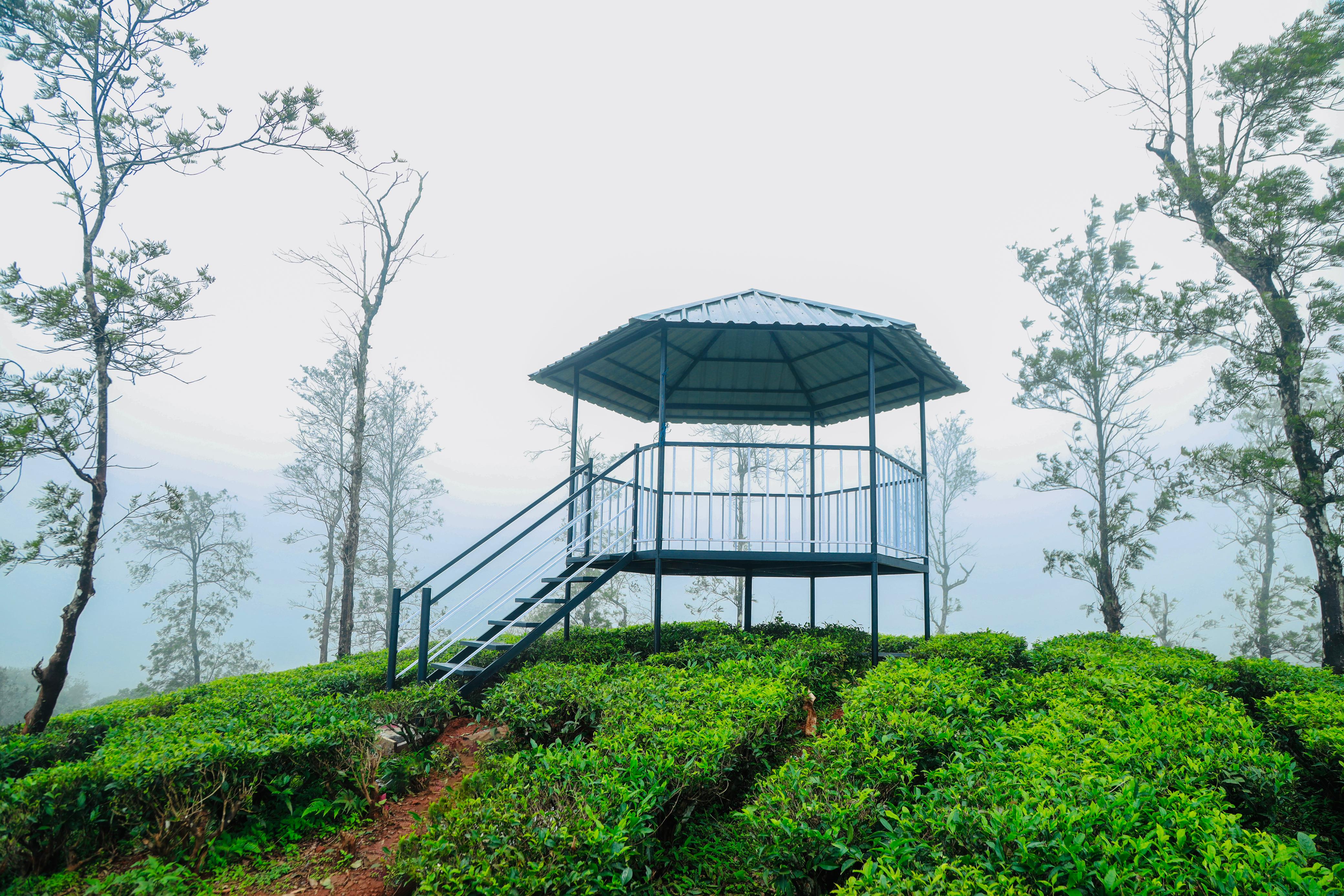
12.7 km · ~21 min by cab
KFDC’s Camellia Eco Cottages stay inside its working Kambamala tea estate, with guided plantation and forest-edge activities arranged as part of the programme.
13.3 km · ~22 min by cab
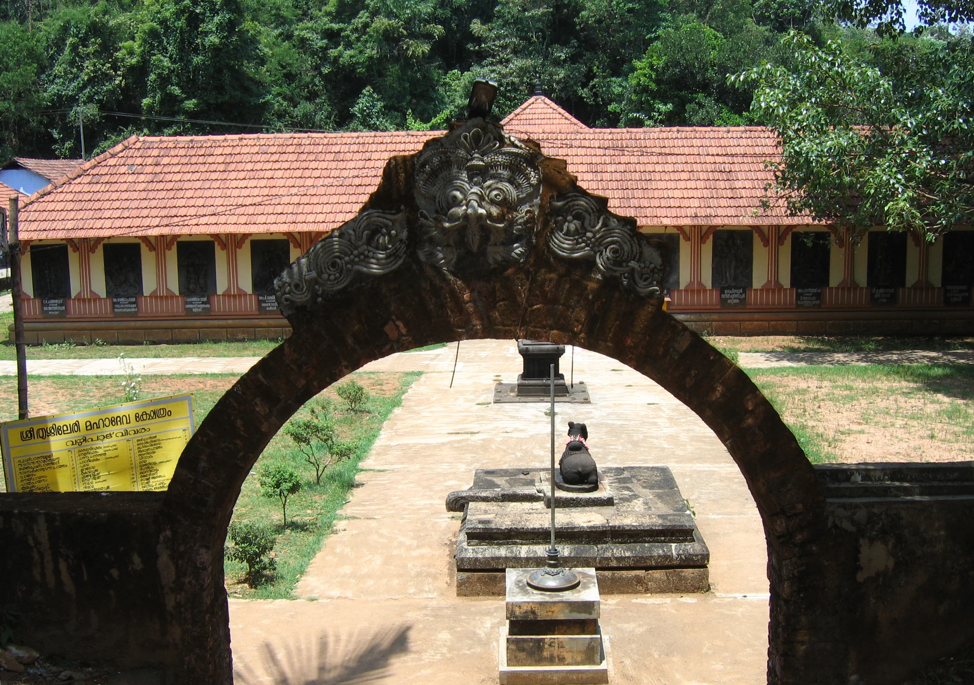
The Shiva temple at Thrissilery near Mananthavady, with a west-facing worship tradition, relief-lined outer walls, Jala Durga water shrine and a ritual relationship with Thirunelli.
Roampedia is commission-free — own or know a stay, eatery, guide or shop near Pakshipathalam? List it and it appears here once verified.
Add a nearby businessFees change without notice. Check the current rate at the counter.
Entry: A Forest Department permit plus guide/vehicle charges apply; entry is commonly cited around ₹50 for Indian visitors and ₹200 for foreign nationals, with additional guide fees.
Dress code: Sturdy trekking shoes with grip, breathable layers for the cool ridge, a hat and sun protection, and leech socks or protection in damp months; carry your own food and water.
Photography: Bring powerful binoculars and a telephoto or zoom lens for birding; the boulder caves are dark, so a torch or headlamp helps, and morning light on the ridge and watchtower is best for landscapes.
If you are travelling by bus or ferry, check the return service with the operator before setting out. Leave time to reach the stop or jetty after your visit.
Ask at the bus stand for the time of the last service back, not the next one. If you miss it, an auto or app cab is the fallback — agree the fare before you get in.
If you need step-free access, contact the site before travelling. Ask about a level entrance, steps along the route, the nearest drop-off point, seating and accessible toilets.
Emergency numbers are verified against official government and state tourism sources. 112 works anywhere in India.
Ancient temple near the Brahmagiri forest edge, paired with Mananthavady and north-Wayanad routes.
6.6 km · ~17 min by auto · straight lineNorthern Wayanad wildlife zone usually planned from Mananthavady or Thirunelli with current safari timing confirmed.
11.2 km · ~19 min by cab · straight lineThe Mananthavady Tribal Plantation Co-operative tea estate at Pancharakolly, combining a plantation walk, factory, museum, tasting and Vishwas Point.
11.7 km · ~19 min by cab · straight lineKFDC’s Camellia Eco Cottages stay inside its working Kambamala tea estate, with guided plantation and forest-edge activities arranged as part of the programme.
12.7 km · ~21 min by cab · straight lineThe Shiva temple at Thrissilery near Mananthavady, with a west-facing worship tradition, relief-lined outer walls, Jala Durga water shrine and a ritual relationship with Thirunelli.
13.3 km · ~22 min by cab · straight linePazhassi Raja’s memorial and the Kerala Archaeology Department museum at Mananthavady’s Hospital Hill, with four galleries connecting the resistance leader, Wayanad’s communities and the district’s material history.
17.8 km · ~30 min by cab · straight lineProtected river-island eco-tourism area on the Mananthavady/Pulpally side, with seasonal and capacity-based access restrictions.
18.3 km · ~31 min by cab · straight lineImportant Mananthavady-side Bhagavathy temple known for festival and local cultural context.
19.7 km · ~33 min by cab · straight line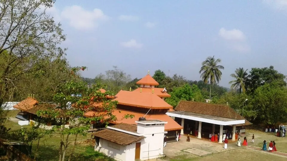
Pulpally-side temple with Ramayana-linked local tradition, usually planned as a north/east-Wayanad extension.
29.4 km · ~49 min by cab · straight line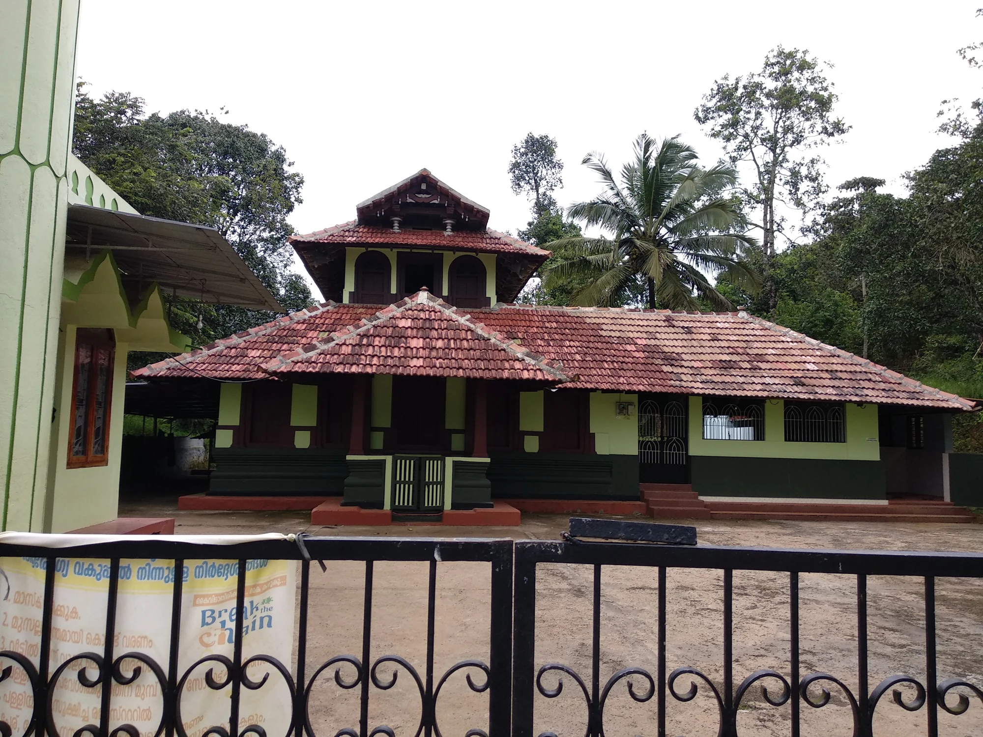
The Varambetta mosque and maqaam complex near Padinjarathara in Wayanad, with a tiled timber shrine, a neighbouring domed prayer building and a documented annual Nercha gathering.
29.5 km · ~49 min by cab · straight line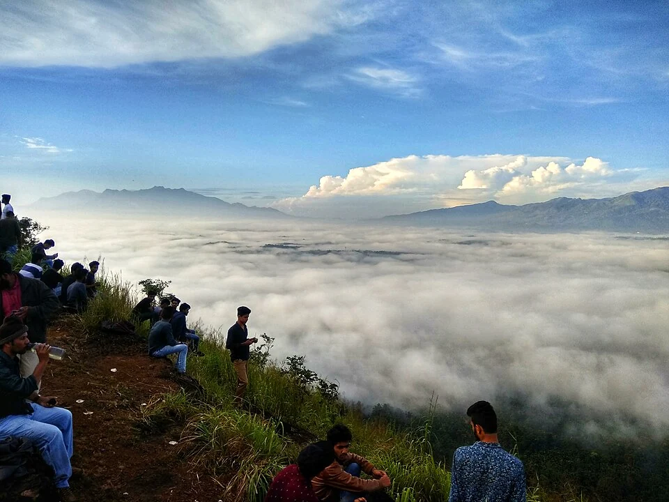
A walked hill viewpoint in the Kottathara area of Wayanad, known for dawn cloud below the ridge and wide daylight views over fields and wooded hills.
29.9 km · ~50 min by cab · straight line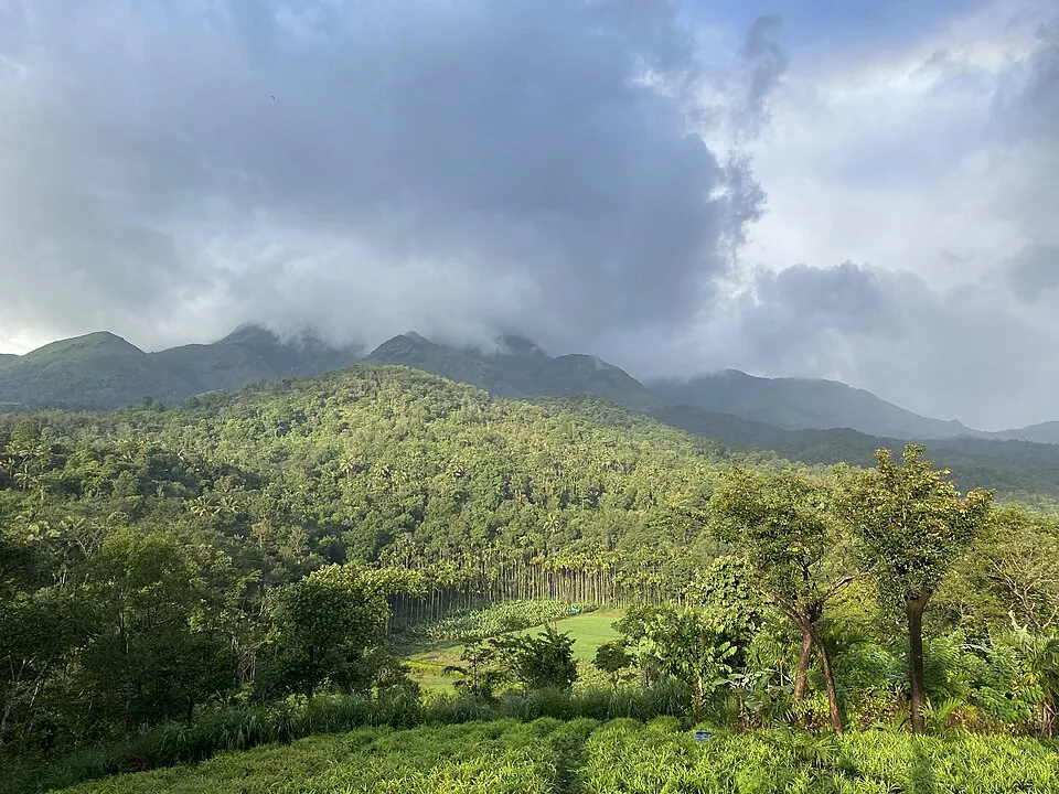
Highland trek and viewpoint landscape above the Banasura reservoir side; access and permissions should be checked locally.
30.0 km · ~50 min by cab · straight lineIt combines ‘pakshi’ (bird) and ‘pathalam’ (the underworld or netherworld), giving the ‘underworld of birds’ — a nod to the deep rock caves among the boulders where large numbers of birds shelter.
Yes. Prior permission from the Forest Department is required and the trek is done with an accompanying guide, as it runs through protected wildlife forest. Vehicles, guides and equipment can typically be arranged through the local Forest Department offices near Thirunelli/Tholpetty or the District Tourism Promotion Council.
It is a moderately hard forest trek of roughly 7–8 km one way from behind Thirunelli Temple, taking about 3–4 hours up, across forest, grassland, slippery rock and the boulder caves. You must trek back the same day.
No. Overnight camping on the peak is not permitted; every visitor must trek back and be off the mountain before dark.
Munikal (‘sage’s rock’) is the best-known cave, a night and early-morning roost for birds and, by report, a haunt of the endangered edible-nest swiftlet — a bird that builds its nest almost entirely from hardened saliva.
Roughly November to early February is generally considered best; the site is usually closed in the dry pre-monsoon months (around February to April/May) for fire risk, and the rock trails turn slippery in the monsoon.
Post-monsoon to late winter is usually best; avoid heavy-rain days and closed forest periods.
Entry: A Forest Department permit plus guide/vehicle charges apply; entry is commonly cited around ₹50 for Indian visitors and ₹200 for foreign nationals, with additional guide fees. Timings: Daytime only, on a guided trek — you must start early and return before the forest darkens; there is no overnight access.
Base yourself in Mananthavady or a nearby town in Wayanad, then confirm the last-mile route locally before leaving. Confirm permits, guide requirement and reporting point before travel; many Kerala treks are controlled by forest authorities. If the visit depends on forest, temple, boat, ferry, weather or seasonal access, check the official/local rule on the day before travel.
Half day to full day unless officially listed as multi-day.
Nearby you can pair Thirunelli Temple (6.6 km), Tholpetty Wildlife Sanctuary (11.2 km), Priyadarshini Tea Environs (11.7 km), Kambamala Ecotourism (12.7 km).
Use approved guides where required. Do not enter closed forest routes or trek in heavy rain.
We have not published a story about Pakshipathalam itself yet. These cover Mananthavady and the wider district, with separate journeys between stops.
These guides explore Mananthavady and the surrounding area. Choose a visit that fits your interests, allowing separately for travel between stops.
Route-level itineraries and practical guides for the rest of Kerala.
Photographs: Aneesh Jose (CC BY-SA 3.0), Vinayaraj (CC BY-SA 3.0), Jaseem Hamza (CC BY 3.0), RajeshUnuppally (CC0), Mrriyad (CC BY-SA 3.0). Wikimedia Commons.