History
The modern shape of Kuttanad was drawn up in 1953-54, when the Travancore government produced a detailed development plan for the region. It had three main components, and the fate of each is the history of Kuttanad since: a spillway at Thottappally to let floodwater out to the sea, a bund at Thanneermukkom to keep salt water out of the paddy, and a road-cum-canal between Alappuzha and Changanassery to carry both traffic and drainage.
🔴 The dates are worth getting right, because the travel web does not. Taking them from the Kerala State Planning Board's 2019 report rather than from aggregators: the Thottappally spillway was completed in 1958; the first phase of the Thanneermukkom bund in 1965 and the second in 1975, with the third never finished; and the AC Road was completed by the 1990s. ⚠ Competing figures exist and we record rather than hide them — Thottappally is given as 1955 in some accounts against the Planning Board's 1958, and Thanneermukkom is sometimes described as constructed in 1974 and functional from 1976, which does not fit the phased account. Where they conflict we prefer the Planning Board.
Two precursors deserve a line. In 1937 Travancore appointed two Italian engineers, who proposed a floodway near Aryad; the Thottappally channel that was eventually built was proposed later by a PWD executive engineer, I. C. Chacko. The idea of draining Kuttanad by cutting a hole to the sea is therefore about ninety years old, and the version that got built was the local engineer's rather than the imported consultants'.
The AC Road is the component that reveals the most, because of what was left out of it. It was designed as a road and a canal — the canal to drain floodwater from Upper Kuttanad into Vembanad. What was built by the 1990s was the road. The Planning Board's criticism is unusually direct for a government document: the AC Road, it says, was not supposed to be a road alone, and as built it cuts across multiple natural waterways and obstructs the drainage it was meant to supplement. The canal remains incomplete to this day.
The bund at Thanneermukkom did what it was built to do and presented a bill nobody had costed. The official accounting, again from the Planning Board, includes a 33 per cent decline in the lake's bird population, blocked fish migration, the spread of water hyacinth, and rising rodent and mosquito populations. Without tidal flushing, the lake stopped clearing itself: Alappuzha town's sewage alone contributes some 64,237 kg of biochemical oxygen demand per day to a water body that no longer has a mechanism for carrying it away. ⚠ The unfinished-construction story of the barrage itself belongs to our Thanneermukkom page, and the reclamation history of the individual polders to R Block; this page deliberately does not retell either.
There has also been repair, and it is worth recording because good news from Kuttanad is rare. After the 2008 package, channels were cut between the C and D blocks and between the Rani and Chithira polders. The result was measurable: 764 hectares came back into cultivation in 2014, for the first time since 1992, and the Rani-Chithira polders produced 1,402.49 metric tonnes of puncha paddy in 2016-17.
Then came August 2018. The Planning Board's assessment is that the flood was a once-in-a-hundred-years event, or a one per cent probability — which is a specific and sobering way of putting it, given that Kuttanad floods on two, five, ten, twenty-five, fifty and hundred-year intervals as a matter of course. Most of the engine tharas, the pump houses on which the entire dewatering system depends, were destroyed. The Board recommended a package of ₹2,447.66 crore; the precedent it cited was ₹2,139.8 crore in 2008.
The report ends on a question rather than a prescription, and it is the right one for a reader to leave with: whether the answer to a hydraulic problem is more hydraulics. Every fix in Kuttanad's modern history — spillway, bund, road, channel, pump — has solved the problem it was designed for and created another that had to be engineered around. The Board's own recommendations include cutting padasekharams down from around 600 acres to about 250, so that basins can be dewatered faster, and replacing the old pumps with low-head, high-discharge vertical axial-flow propeller sets. Which is to say: more hydraulics.
Why visit
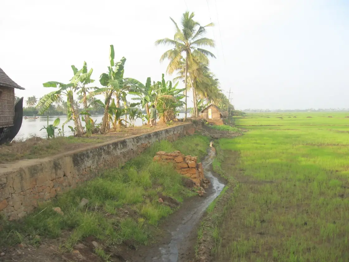
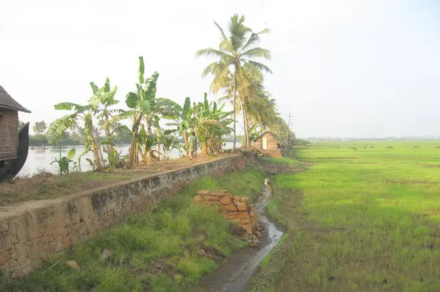
To see the one thing that photographs cannot quite convince you of until you are standing on the bund: a canal at the level of your chest and a rice field below your feet, with a wall between them.
For the season, which is derivable and worth planning around. The puncha crop is in the ground from November and harvested by February, the polders are bare in October and under water from June to August. December to February is the green Kuttanad.
To take the AC Road, the 24 km between Alappuzha and Changanassery — the one drive that crosses the polders, and a road that was supposed to be a canal as well.
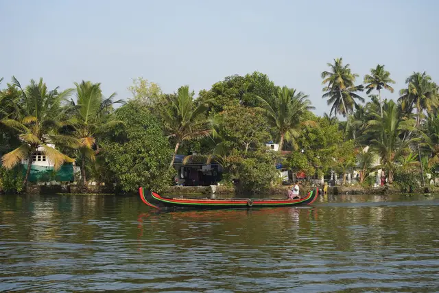
To use the State Water Transport ferries out of Alappuzha to Kainakari, Nedumudi, Champakulam, Kavalam, Pulinkunnu and Mankombu — ordinary public transport through the polders, at a fraction of a houseboat charter and with the people who live here aboard.
For the engine thara: a small building on a bund housing the pumps that make the whole system possible, one per padasekharam, and a vernacular building type most people walk past without noticing. Most were destroyed in 2018.
To understand a landscape that FAO protects as a system rather than a scene — three soil zones, one crop calendar and a pump, recognised in 2013 as a Globally Important Agricultural Heritage System.