What to expect
Highlights
- Reservoir and dam views at Thanneermukkom Bund
- Engineering landmark or garden/viewpoint stop
- Pair with nearby hill, forest or town routes
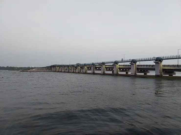
Salt-water barrier and bridge across Vembanad Lake that keeps the sea out of Kuttanad’s paddy in the cropping season — a long causeway with lake views.
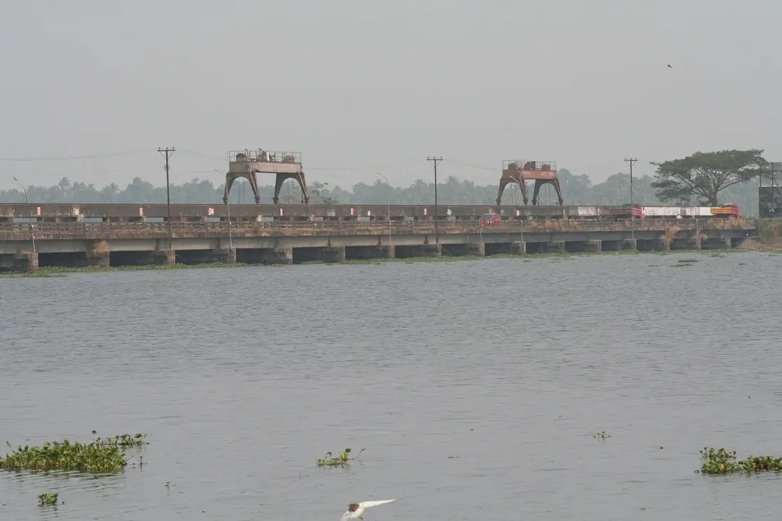
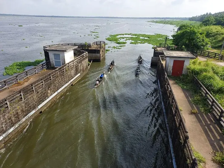
A barrage nearly a kilometre and a half long lies across Vembanad, carrying a road from Thanneermukkom on the Alappuzha shore to Vechoor on the Kottayam side. It exists to keep the sea out of the paddy fields of Kuttanad, which lie below sea level. What almost nobody notices is the joke buried in the name of the village it starts from: Thanneermukkom means the water place, and one account says travellers stopped here because the drinking water was sweet.
Approach from the Cherthala side and the structure announces itself slowly. The road runs out across the lake on piers, streetlights marching away into the haze, and the far bank takes a long time to arrive. The Irrigation Department gives the proposed length as 1,402 metres between Thanneermukkom and Vechoor. When it is finished it will carry ninety shutters and four navigation locks. There is a viewpoint at the eastern end and a boat jetty a few hundred metres west of it, and on most days there are people fishing from the parapet.
The village on the western shore is older and more interesting than the wall attached to it. Malayalam sources give two explanations for the name Thanneermukkom, and they do not agree. One is straightforwardly geographic: the settlement sits on a promontory almost surrounded by water, at the mouth — mukham — of the backwater. The other is a tradition that Namboodiris travelling to the temples of this coast stopped here to draw drinking water, and that the place is named for water that was good to drink. Set that beside what the barrage is for, and beside the fact that the village profile today records serious drinking-water scarcity, and the name starts to look less like a label and more like a record of something lost.
Thanneermukkom is in Cherthala taluk, about nineteen square kilometres of clayey-sandy ground under coconut, with coir societies, shell processing and silica-sand extraction, and Vembanad along its north-eastern edge. It was not always Travancore. In 1528 a Portuguese garrison was established here with the support of the Karappuram raja, and the region remained semi-autonomous under a body of local chiefs while nominally under Cochin. In 1753 Karappuram and Alangad, tributary territories of Cochin, passed to Travancore under Marthanda Varma. For a place now known for a piece of irrigation infrastructure, it has been fought over more than most.
And two and a half miles up the road — 2.9 kilometres from the barrage, on a road named the Cherthala–Thanneermukkom road — stands one of the oldest Christian sites in India. The church at Kokkamangalam is counted among the Ezharappallikal, the seven and a half churches that tradition holds were founded by the apostle Thomas in the first century. The Rampan Pattu, an old Malayalam Christian song tradition, records that he preached here for about a year and that sixteen hundred people were baptised, around the year 52. We have written about a great many places in Kerala and this is the first time the seven and a half churches have appeared on this site at all, which says more about what gets written up in English than about Kokkamangalam.
So the honest way to see Thanneermukkom is as three things stacked on one another. A village with a name about fresh water and a first-century church at its edge. A wall built in the twentieth century to hold back salt. And a road across the top of that wall, which most people drive over without stopping, on their way between Alappuzha and Kumarakom.
If you want the single most surprising thing about the barrage, it is not the length or the shutters. It is that the wall has doors, and boats still go through them.
The barrage is a work of the 1960s and has no legend attached to it, and we are not going to give it one — the Vembanad and Pathiramanal pages carry the lake's own stories and borrowing them across would be the migrated-folklore error. But Thanneermukkom the village is a different matter, and it is not short of tradition.
Start with the name, because it is the local story most often told and it exists in two versions that pull in different directions. The first is topographic: this is a mukham, a mouth or face, of the kayal, a tongue of land almost encircled by water, and the name simply describes the shape of the ground. The second is the one people prefer. Namboodiri travellers making their way to the temples along this coast are said to have halted here for water, and the water was sweet — thanneer, drinking water — so the place became known for it. Neither can be proved. Both are old. And the second has acquired an accidental sting, because the village profile now records severe scarcity of drinking water in the same settlement whose name is supposed to commemorate its abundance.
The strongest tradition in the locality is Christian rather than Hindu, and it is very old. Kokkamangalam, less than three kilometres from the barrage, is one of the Ezharappallikal — the seven and a half churches that Saint Thomas Christians hold were founded by the apostle himself after he landed on this coast around 52 CE. What is remarkable about the Kokkamangalam tradition is that it survives partly as song: the Rampan Pattu, a form of Malayalam Christian folk verse, is the source for the account that Thomas preached here for roughly a year and that sixteen hundred people received baptism. A community that keeps its founding story in a song rather than a chronicle is preserving it in the most fragile and most human medium there is, and the fact that a number as specific as sixteen hundred has come down inside it is exactly the kind of detail that makes folk tradition worth listening to, whatever one concludes about its accuracy.
The village keeps a full complement of Hindu shrines alongside it — the Varanattu Bhagavati temple, the Kandankulangara and Ilanjamkulangara temples, and the Chali Narayanapuram temple — and further churches at Kannankara and Chali. This is ordinary Kerala coastal religious geography, dense and mixed, and it long predates anything to do with irrigation.
There is one more thing that functions here the way a legend functions elsewhere, and it is worth naming because visitors sense it without being told. For forty-three years this barrage had a hole in the middle. The two ends were finished in 1965 and 1975 and the central four hundred and twenty-eight metres could not be built, so the halves were joined by an earthen cofferdam — a bank of packed mud — and that is what traffic crossed. A whole generation of people drove over a temporary earthwork in the middle of the largest lake in India, and most of them had no idea. The bridge across the centre opened only on 31 July 2018. It is not a myth. But it is the thing about this place that most reliably astonishes people when they hear it, and it is the reason the structure feels older and stranger than a piece of 2018 engineering has any right to.
The purpose has never been in dispute. Kuttanad, to the south, is farmed below sea level, and in the dry months salt water pushes up the lake and into the paddy. A barrier across the narrowest practical crossing of Vembanad would shut that intrusion out and allow an additional rice crop. The line chosen runs between Thanneermukkom on the Alappuzha side and Vechoor on the Kottayam side.
It was built in halves and then left. The Vechoor side — thirty-one shutters and two navigation locks — was completed in 1965. The Thanneermukkom side, another thirty-one shutters and one lock, followed in 1975. The central stage of four hundred and twenty-eight metres, with twenty-eight shutters and a fourth lock, could not be accomplished at the time. In its place the two completed arms were joined by an earthen cofferdam, and that arrangement lasted until the present century.
What eventually moved it was an ecological argument rather than a transport one. In 2010 the M. S. Swaminathan Research Foundation submitted a report on Kuttanad's biodiversity to the State Government, and among its recommendations was the completion of the third stage. The money followed three years later: Government Order (Rt) No. 1141/2013/WRD, dated 22 October 2013, sanctioning Rs 255.335 crore. The work went to the Mary Matha–Tomar–Reid consortium of Muvattupuzha, the site was handed over on 1 July 2014, and the agreed completion date of 5 January 2017 — nine hundred and twenty days — was extended to the end of 2018.
The bridge opened to traffic on 31 July 2018. The Irrigation Department's own account then describes the project as around ninety-five per cent complete, with link islands, beautification and the removal of the old cofferdam still outstanding — which means that, on the department's own reckoning, a structure begun in the early 1960s was still not finished sixty years later.
Two figures in wide circulation should be treated with care. The first is the claim that this is the largest mud regulator in India, which appears on English Wikipedia without a source and has been copied widely; it is a reinforced-concrete barrage designed for ninety shutters and four locks, and no national comparison supports the superlative. The second is the frequently printed length and date of 1,252 metres and 1976, which does not match the Irrigation Department's own published account and which does not survive checking. Where the department and the encyclopedias disagree about the department's own structure, we follow the department.
Cross the longest lake in India on a road that stands on the water — nearly a kilometre and a half of barrage between Alappuzha and Kottayam districts, with a viewpoint at the eastern end and open water on both sides.
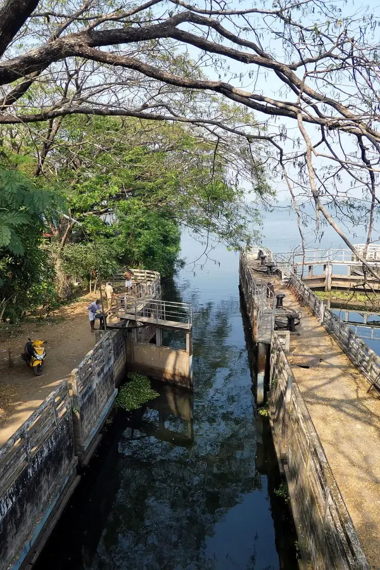
See the navigation locks, which are the genuinely unusual thing here. The barrage was built with doors: when the shutters are shut against the salt, boats still cross the wall by locking through, and the gate wheels are wound by hand.
Stand three kilometres from Kokkamangalam, one of the Ezharappallikal — the seven and a half churches that tradition holds Saint Thomas founded in the first century, its story preserved in the Rampan Pattu folk songs.
Understand a piece of infrastructure that shaped a whole region's ecology and agriculture, and that took from 1965 to 2018 to finish — with a mud cofferdam standing in for the middle of it for forty-three years.
It sits naturally on the Alappuzha-to-Kumarakom road, about 35 km from Alappuzha town, so it costs you a stop rather than a detour.
Come for sunset. The barrage runs roughly east-west across open water with nothing to block the view, which is why almost every photograph of it that people keep is taken at the end of the day.
Road km to Alappuzha; ghat roads and traffic vary — allow extra.
Post-monsoon and winter for scenery; monsoon access may change.
Live forecast loads in your browser.
Sun and moon are calculated for this location and shown in IST. Photography windows are the hour around sunrise and sunset; the sunset bearing is degrees clockwise from true north. Moon phase is accurate to about half a day.
Browse listed stays, food, activities, sights, shops and rentals around Thanneermukkom Bund. Check each listing’s locality and contact the business directly for current arrangements.
Chakara is a restaurant at CGH Earth Marari Beach in Mararikulam. The operator describes Indian, continental and coastal dishes with buffet service. Ask about the day’s menu and the meal session you want; published dish examples do not guarantee that a dish is served on every date.
Carnoustie is a resort at Chennaveli, Chethy, in the Mararikulam area. Its operator lists Punag, Semantha, Zukra and Mallika pool villas separately from Akund Deluxe. Choose an exact category before asking for a stay quote; the Akund page describes a lily pool, which does not establish a private swimming pool.
Kerala Tourism-listed Ayurveda centre in Mararikulam. Marari Beach, S.L. Puram, Mararikulam, Alappuzha 688523 · Marari, Kerala Tourism-listed Ayurveda centre.
Abad Turtle Beach Resort in Mararikulam advertises cottages, a pool, dining, Ayurveda and spa facilities. Ask about the exact cottage, meal inclusions and facilities operating for your dates.
CGH Earth’s Marari Beach resort is at S.L. Puram in Mararikulam, Alappuzha. Its operator lists Garden Villas, Garden Villas with Pool and Deluxe Garden Villas with Private Pool. Choose the named category; a Garden Villa reservation should not be treated as a private-pool booking.
Mararikulam homestay with separately named private and shared-pool villas. Ask for the exact villa, meal inclusions and bathroom layout.
Book with the place itself. India’s cyber-crime coordination centre warned in April 2025 that convincing copies of hotel and pilgrimage booking sites are being pushed through sponsored search and social ads, taking payment for rooms the property never hears about. Use the contact and source details on each profile to confirm the exact business and booking channel. A directory entry or map pin alone does not establish an operator’s identity or current availability. Roampedia takes no commission and does not collect booking payments. If a booking page reached you through an ad, check the address bar against the property’s own site before you pay. Fraud can be reported on cybercrime.gov.in or on 1930.
Find food, accommodation and activities across Mararikulam. Browse the guides for places to eat, stay and explore along your route.
3 more places around Mararikulam. Open a guide to plan the visit and onward journey.
13.9 km · straight line
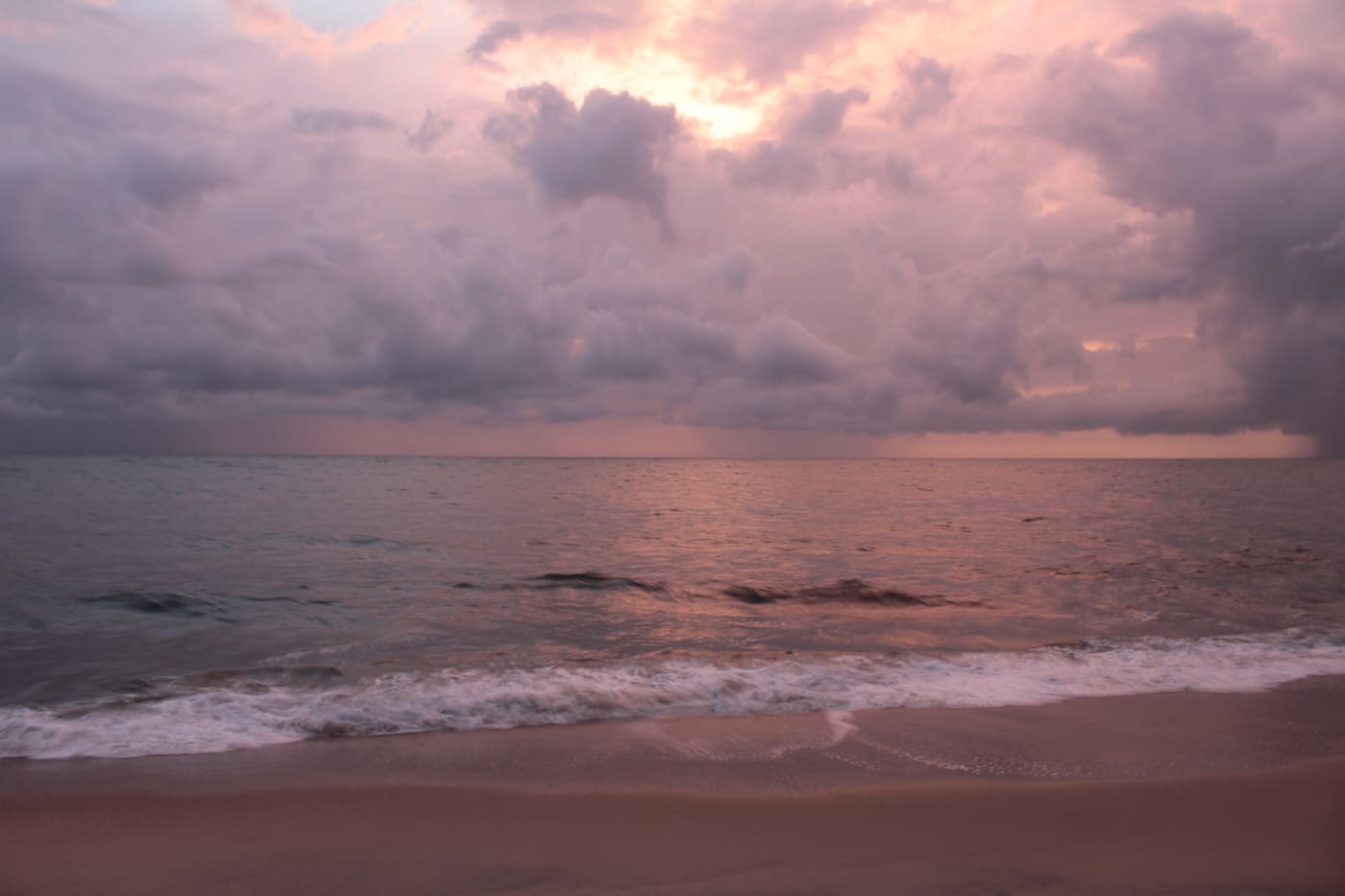
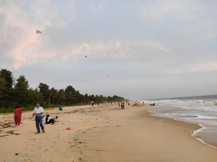
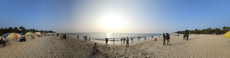
Quiet beach belt north of Alappuzha, popular for relaxed stays.
11.0 km · straight line
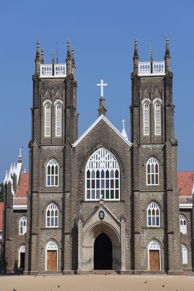
St Andrew’s Forane Basilica at Arthunkal, a major coastal pilgrimage church north of Alappuzha.
15.0 km · straight line
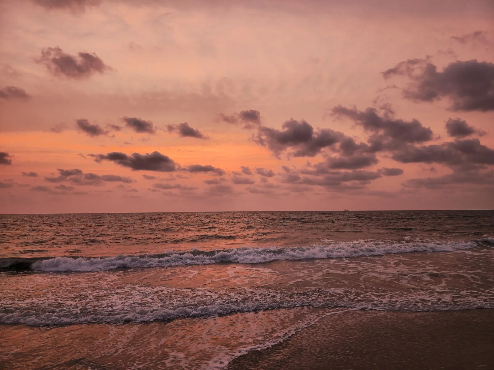
Estuary beach at the north Alappuzha coast near Cherthala where backwater meets sea.
Roampedia is commission-free — own or know a stay, eatery, guide or shop near Thanneermukkom Bund? Submit public business details for review.
Add a nearby businessEntry: Free. It is a public causeway and bridge, not a ticketed site.
Photography: No restrictions on the public road. The lock chambers are visible from the deck.
If you are travelling by bus or ferry, check the return service with the operator before setting out. Leave time to reach the stop or jetty after your visit.
Ask at the bus stand for the time of the last service back, not the next one. If you miss it, an auto or app cab is the fallback — agree the fare before you get in.
If you need step-free access, contact the site before travelling. Ask about a level entrance, steps along the route, the nearest drop-off point, seating and accessible toilets.
Charge cap and free-transaction limits: Reserve Bank of India, ATM FAQ updated 4 July 2025; checked 4 October 2026.
These services are listed within about 1.2 km of Thanneermukkom Bund. Walking distances follow mapped routes; access and opening hours can change. Other services may be closer but are not included here.
Published emergency and visitor-assistance contacts. For an immediate emergency, call 112. Shared Kerala contact sources checked 4 October 2026; publication does not establish a tested live response.
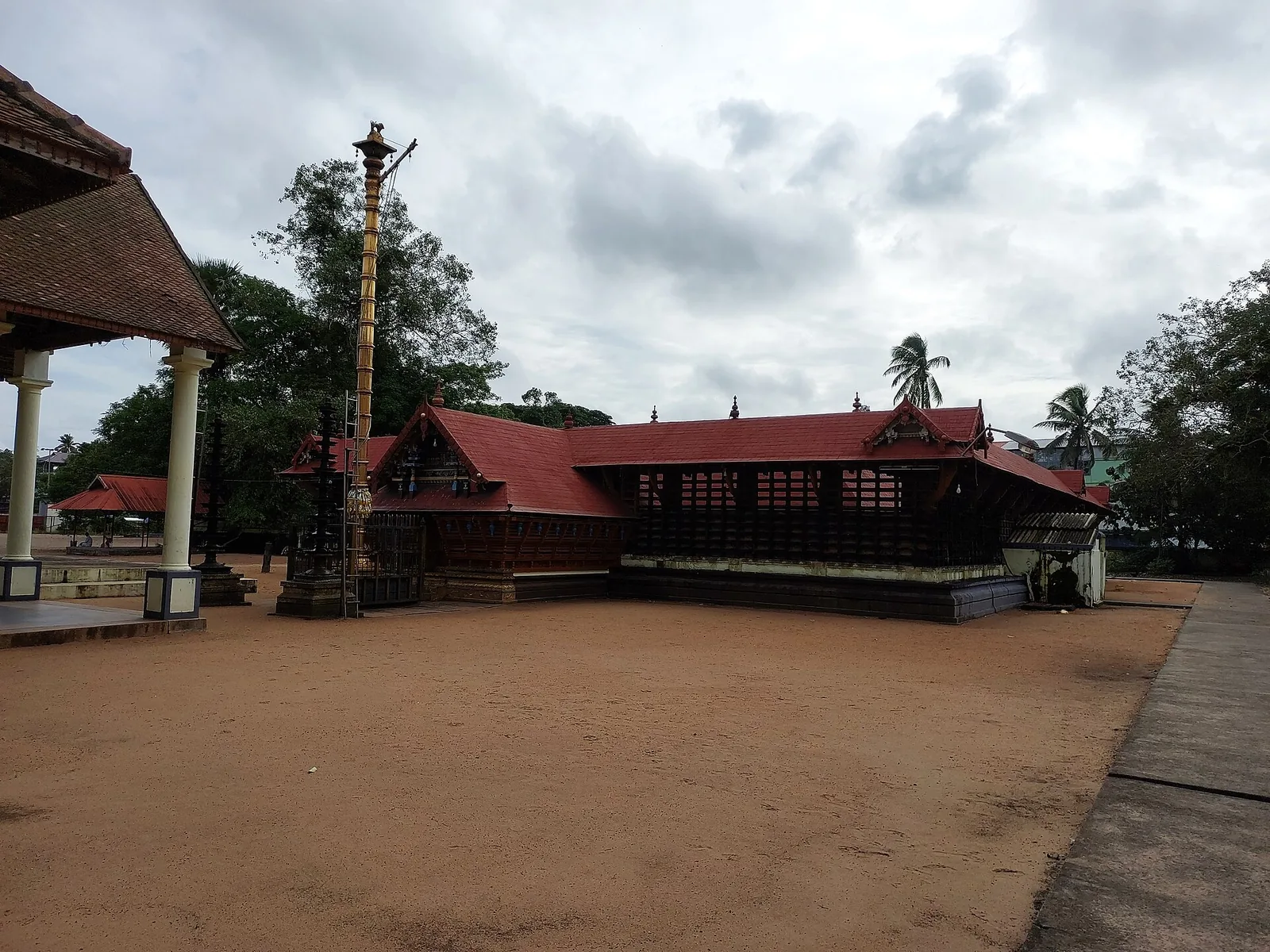
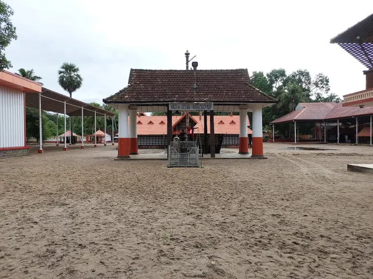
The Devi temple in the middle of Cherthala town, one of the 108 Durgalayas — where the goddess sits about four feet below ground level, hundreds of cockerels released as offerings live in the compound, and the town’s own name is said to come from the legend of her rescue from the mud.
6.5 km · straight lineSt Andrew’s Forane Basilica at Arthunkal, a major coastal pilgrimage church north of Alappuzha.
11.0 km · straight lineQuiet beach belt north of Alappuzha, popular for relaxed stays.
13.9 km · straight line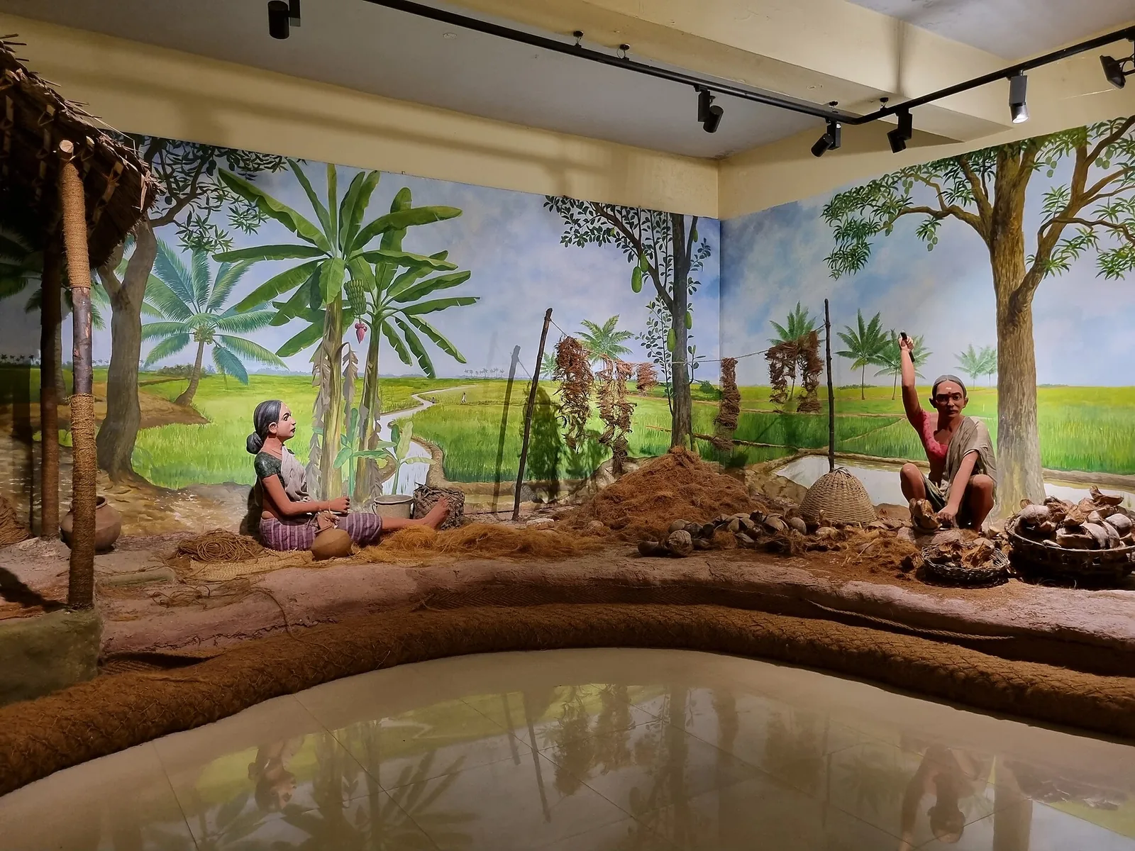
Museum on Kerala’s coir (coconut-fibre) heritage — the craft Alappuzha built its trade on.
14.6 km · straight lineEstuary beach at the north Alappuzha coast near Cherthala where backwater meets sea.
15.0 km · straight line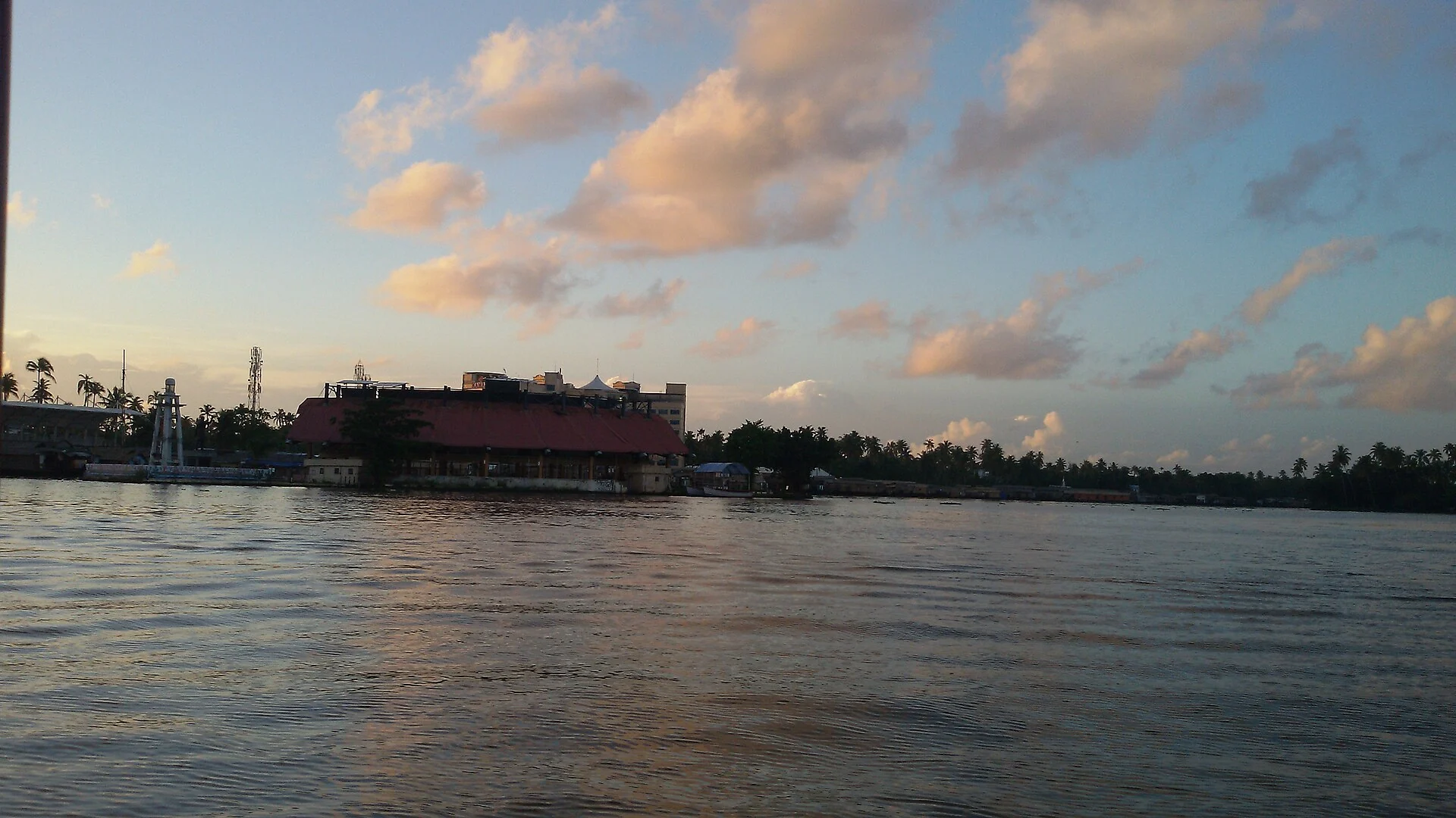
Finishing-point lake of the Nehru Trophy Boat Race and the main houseboat cruising water off Alappuzha.
19.8 km · straight line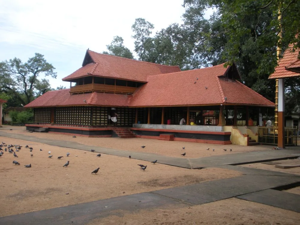
Central Alappuzha town temple (Mullakkal Rajarajeswari) famous for the annual Mullackal Chirappu festival.
20.6 km · straight line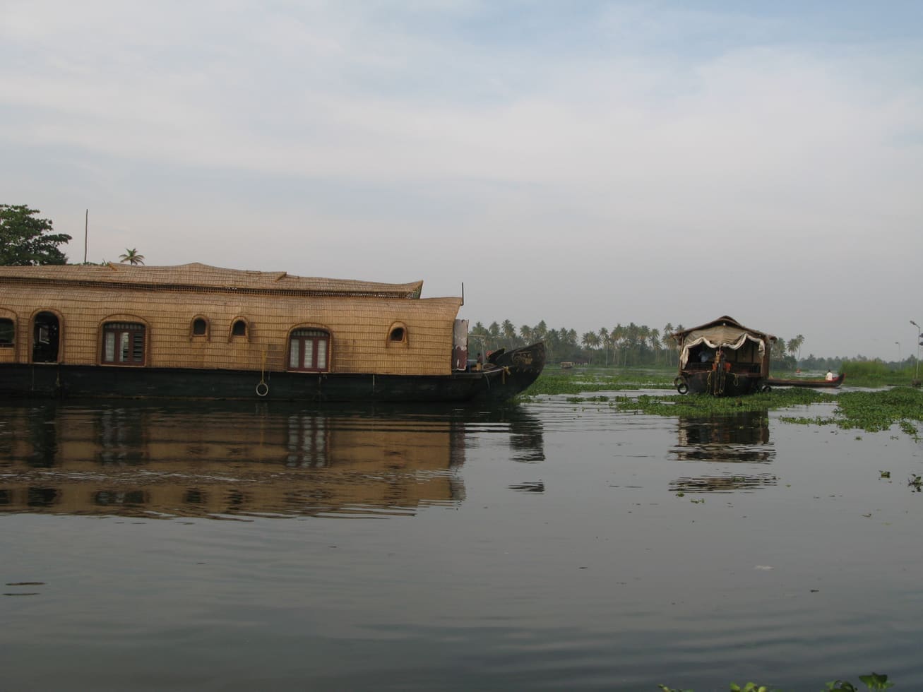
Backwater and houseboat hub with canals, beach, lighthouse and Finishing Point jetty.
20.7 km · straight line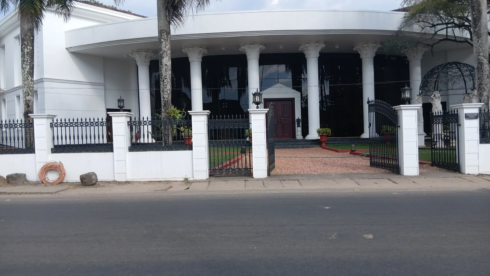
Private memorial museum in Thathampally with a large collection of paintings, ivory, crystal and antiques.
21.0 km · straight line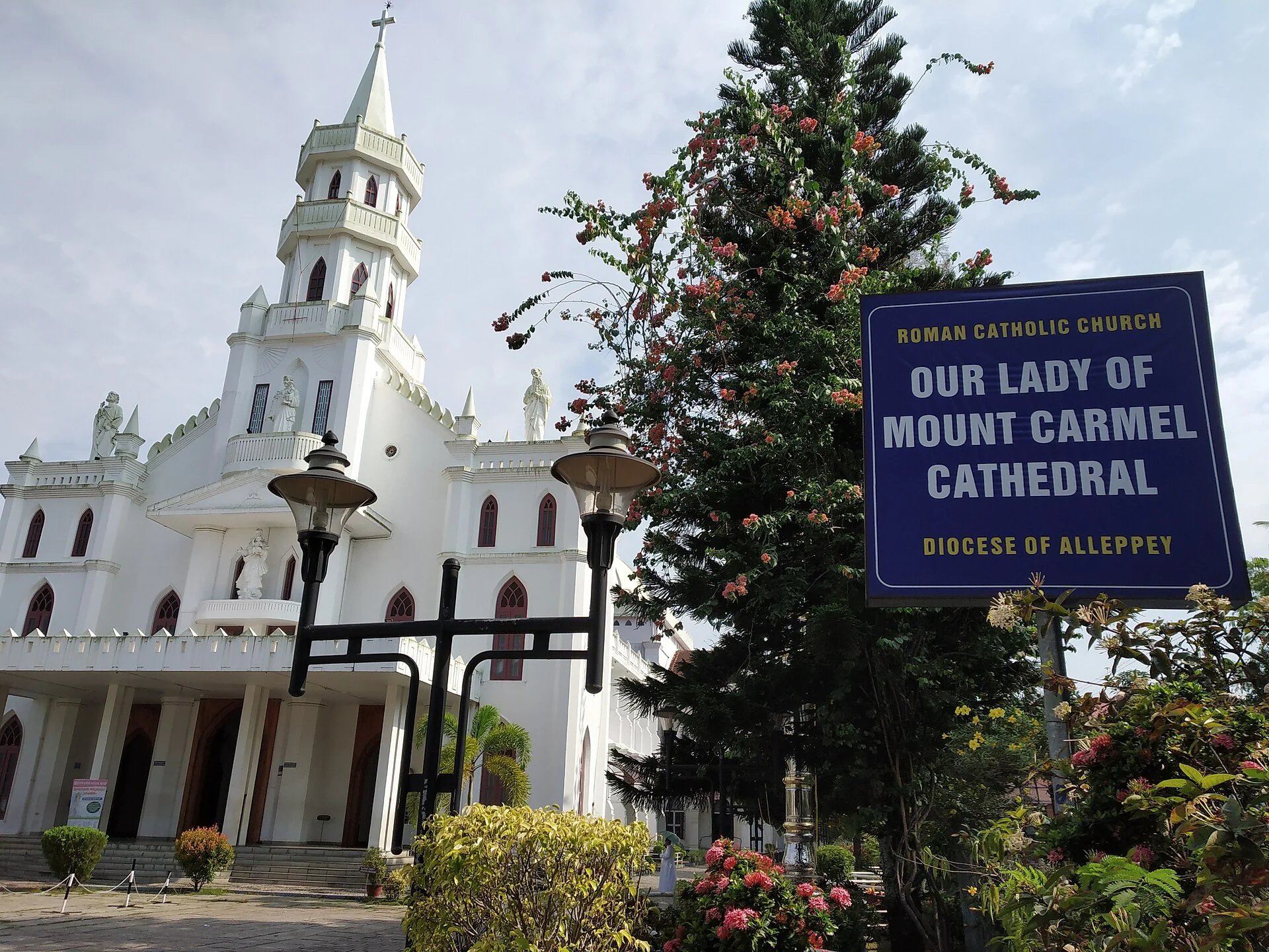
Landmark 19th-century cathedral of the Alappuzha diocese near the town centre.
21.2 km · straight line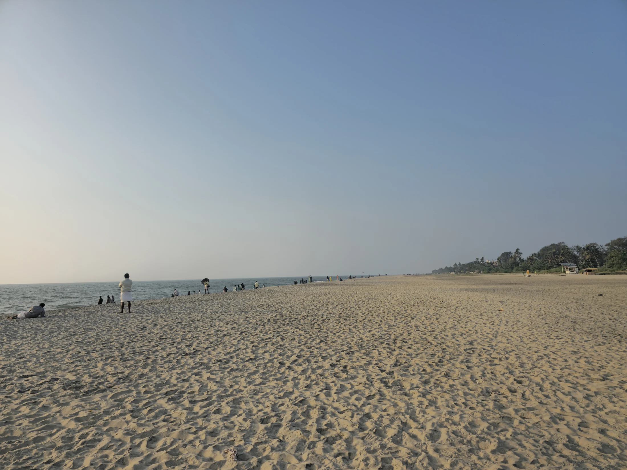
Pair Alappuzha’s broad town beach and old pier remains with the red-and-white lighthouse on C.C.S.B. Road, commissioned in 1862 and still maintained as a navigational light.
21.8 km · straight lineNearby toilets, pharmacies, ATMs, seating and vets are community-mapped and may be incomplete or out of date. Map data © OpenStreetMap contributors | Walking times © openrouteservice.org by HeiGIT
The Kerala Irrigation Department gives the proposed length as 1,402 metres, between Thanneermukkom in Alappuzha district and Vechoor in Kottayam district. It was built in stages: the Vechoor half with 31 shutters and 2 navigation locks in 1965, the Thanneermukkom half with 31 shutters and 1 lock in 1975, and the 428-metre central stage only much later, opening to traffic on 31 July 2018. You will often see 1,252 metres and 1976 quoted instead; that does not match the department's own account.
The central 428 metres could not be built at the time the two ends were completed, so the halves were joined by an earthen cofferdam — a bank of packed mud — and traffic crossed that instead. It stayed that way from 1975 until the central bridge opened in 2018. The completion was funded by Government Order (Rt) No. 1141/2013/WRD of 22 October 2013, sanctioning Rs 255.335 crore, after the M. S. Swaminathan Research Foundation recommended it in a 2010 report on Kuttanad's biodiversity.
Honestly, we cannot give you dates. The shutters are closed through the dry season to block salt water and opened in the monsoon to pass floodwater, and the closure is commonly described as lasting about six months, often quoted as mid-December to mid-June. But the Irrigation Department's own page states no months, and we have found no official source fixing the dates, so we are not going to print a calendar that might send you at the wrong time. Ask locally before planning around it.
Through navigation locks, of which there are four when the structure is complete — two on the Vechoor side, one on the Thanneermukkom side and one in the central stage. A boat enters the lock chamber, the gates close behind it, the water level is equalised and the far gates open. The gate wheels are wound by hand. It is the least-photographed and most interesting thing about the whole structure.
Malayalam sources give two explanations. One is geographic: the village sits on a promontory at the mukham, the mouth or face, of the backwater. The other is that Namboodiris travelling to temples along this coast stopped here for drinking water — thanneer — because the water was good. Neither can be verified, and there is an irony in the second, since the village profile today records severe drinking-water scarcity.
Yes, and it is much older than the bund. About 2.9 km away is the church at Kokkamangalam, one of the Ezharappallikal, the seven and a half churches that Saint Thomas Christians hold were founded by the apostle around 52 CE; the Rampan Pattu song tradition records 1,600 baptisms there. The village also has the Varanattu Bhagavati, Kandankulangara, Ilanjamkulangara and Chali Narayanapuram temples. Kumarakom is a short drive east across the bund.
Post-monsoon and winter for scenery; monsoon access may change.
Entry: Free. It is a public causeway and bridge, not a ticketed site. Timings: Open public road across the barrage; crossable at any hour, best by daylight for the lake views. ⚠ Whether the SHUTTERS are open or shut is seasonal and we cannot give you dates — see below.
Base yourself in Mararikulam or a nearby town in Alappuzha, then confirm the last-mile route locally before leaving. Check public access status before travel; dam areas often have security rules and seasonal entry limits. If the visit depends on forest, temple, boat, ferry, weather or seasonal access, check the official/local rule on the day before travel.
1 to 2 hours.
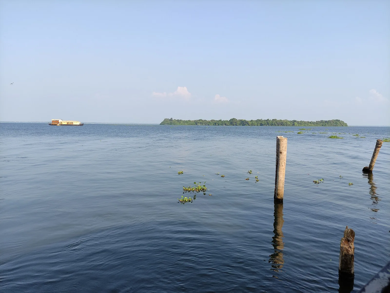
Nearby you can pair Pathiramanal Island (6.4 km, approximate straight-line separation), Cherthala Karthyayani Temple (6.5 km, approximate straight-line separation), Arthunkal Church (11.0 km, approximate straight-line separation), Marari Beach (13.9 km, approximate straight-line separation).
Do not cross barriers or restricted zones. Follow release-warning and security instructions.
Written about Thanneermukkom Bund itself — its history, its legends and the arguments about them.
These guides explore Mararikulam and the surrounding area. Choose a visit that fits your interests, allowing separately for travel between stops.


Route-level itineraries and practical guides for the rest of Kerala.
Photographs: Brendanpuck (CC BY-SA 3.0), Vis M (CC BY-SA 4.0), Kondephy (CC BY-SA 4.0). Wikimedia Commons.