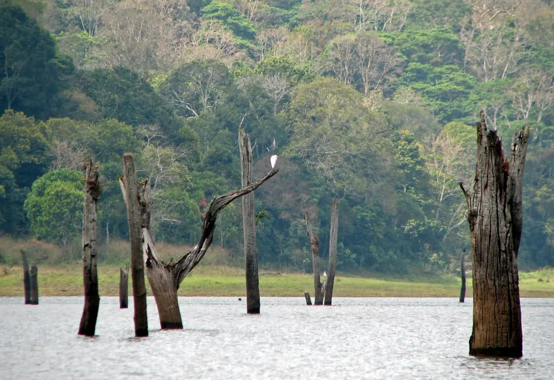
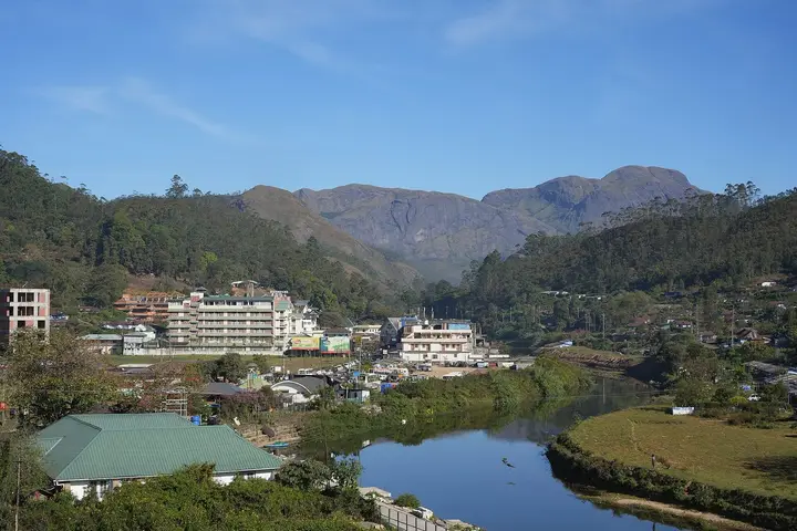
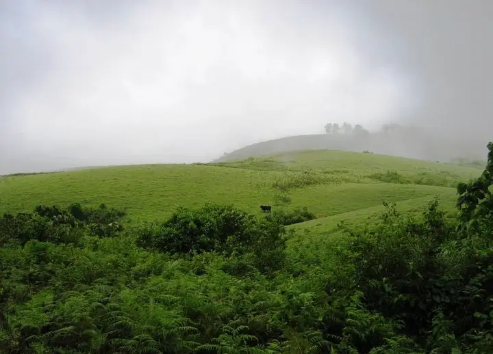
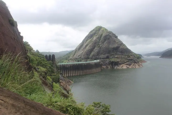
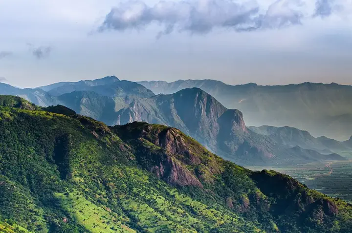
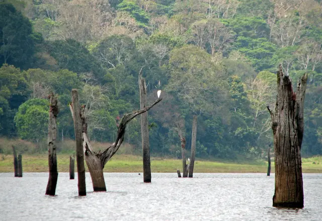
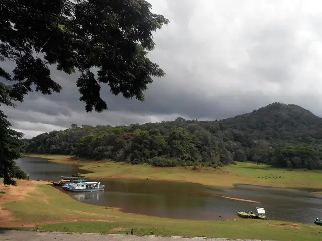
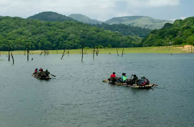
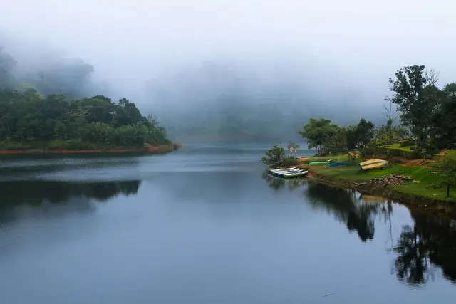
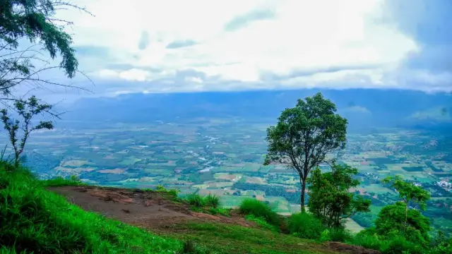
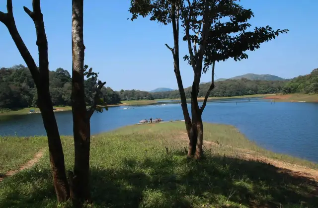
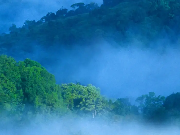
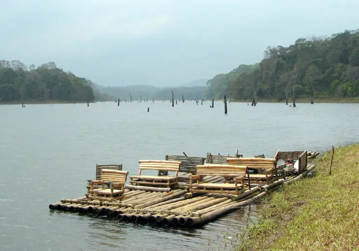
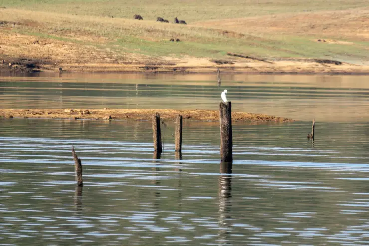
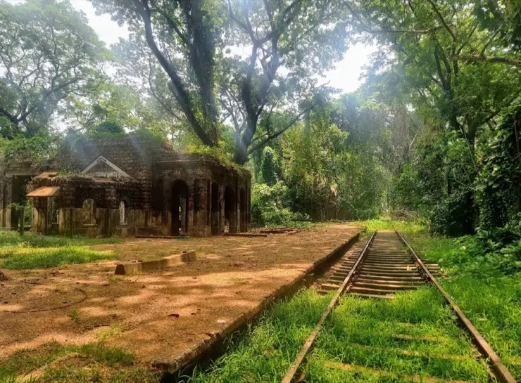
Kumily is the last Kerala town on National Highway 183 before the road tips over into Tamil Nadu, a working spice-market and bus town at about 880 metres in the Cardamom Hills, with Thekkady — the forest gate and the boat landing — three or four kilometres further in. Almost everything a visitor is told here is about the tiger reserve, and almost none of it explains the town. The lake at its heart is a reservoir. The reservoir was made by a dam that stands on Kerala soil and is operated by Tamil Nadu under a lease indenture signed on 29 October 1886, whose duration, validity and safe water level are still being argued in the Supreme Court. The other half of the economy is cardamom, auctioned a few kilometres up the road. And the state line runs through the middle of the story.
The document that made this landscape is the Periyar Lease Deed, executed on 29 October 1886 between the Maharaja of Travancore and the British Secretary of State for India, after roughly twenty-four years of negotiation. It was signed for Travancore by the Dewan, V. Ram Iyengar, and for Madras by the State Secretary, John Child Hannington; the Malayalam record names the witnesses as the Public Works Secretary K. K. Kuruvila, J. H. Prince and Hannington himself, and notes that the original — seven pages — was only rediscovered comparatively recently. It granted 8,000 acres for the reservoir and a further 100 acres for the dam itself, at a rent of ₹5 per acre, which is where the familiar figure of about ₹40,000 a year comes from, and it handed the Secretary of State the exclusive right to build and to use the works and rights over all the waters of the Mullaperiyar and its catchment.
Two things about that deed are still disputed and we print both readings. The term is almost universally given as 999 years — that is how the English Wikipedia article on the inter-state dam row describes it, how the Malayalam article on the deed describes it, and how it was argued about in public when the 2025 Malayalam film L2: Empuraan put a fictional version of the dam on screen. But the English Wikipedia article on the dam itself says, in its own lease section, that the indenture ran for 99 years. The two cannot both be right, and we have not seen the instrument, so we say what the sources say and leave the reader to note that even the basic term of the agreement is contested.
The deed was renewed on 29 May 1970, under Chief Minister C. Achutha Menon, after refusals in 1958, 1960 and 1969. The renewal was given retrospective effect from 1954. The rent went to ₹30 per acre, and a charge of ₹12 per kilowatt per year was fixed on the electricity generated at Lower Camp using Mullaperiyar water. It was done without the approval of the Legislative Assembly, and it carried a clause requiring renewal every thirty years. That renewal fell due in 2000. It has not happened. Tamil Nadu has nevertheless gone on paying at the 1970 rates without a break, which is a peculiar position for two governments to hold for a quarter of a century.
The mechanics of that payment are the most quietly astonishing thing anyone can tell you in Kumily. The money is not a grand transfer; it is a demand note. Each September the Superintending Office of the Irrigation Department at Perumbavoor issues the demand, a draft comes back to the Periyar Division at Theni, and the Irrigation Department credits it to Kerala under the revenue head. The Pathanamthitta division of the Electricity Department is the body responsible for certifying how much power the Tamil Nadu station at Lower Camp, below Kumily, actually generated. The total is roughly ₹2.5 lakh in land tax plus about ₹7.5 lakh as the electricity surcharge: something close to ₹10 lakh a year, for a scheme that has sent an average of about 60 TMC of water east every year for well over a century.
The safety argument runs on a separate track from the money. After the Machchhu dam failure in Gujarat in 1979 the Central Water Commission had the storage brought down from 152 feet, first to 142.2 and then to 136, with strengthening works required. In 2006 a three-judge bench of the Supreme Court allowed 142 feet again pending completion of those works; Kerala answered within months by amending its Irrigation and Water Conservation Act to declare the dam endangered and cap it at 136. In May 2014 a Constitution Bench struck that amendment down as unconstitutional, permitted 142 feet, and set up a permanent three-member Supervisory Committee chaired by a Central Water Commission officer with one member from each state, assisted by a five-member sub-committee. The reservoir touched 142 feet on 21 November 2014 for the first time in thirty-five years, and again on 15 August 2018.
The argument has not closed. A 2021 report by the UN University’s Institute for Water, Environment and Health listed Mullaperiyar among the world’s ageing dams needing attention, describing it as sitting in a seismically active area with major structural flaws. In December 2021 Tamil Nadu opened ten shutters after midnight without adequate warning — the fourth late-night opening in a month — and the Chief Minister of Kerala wrote to his counterpart asking for daytime releases with notice; there were protest marches in Idukki. In August 2024 the Supreme Court agreed to re-examine the validity of the lease deed itself. The 2014 judgment had also floated an alternative to both a new dam and the status quo: a second tunnel taken at about 50 feet, well below the existing intake at 106.5 feet, which would let Tamil Nadu draw water that is currently dead storage while allowing the reservoir to be drawn down fast in an emergency — in the court’s framing, as good as decommissioning without cutting off supply.
What is at stake on the other side of the pass is not abstract. In a 1998 affidavit Tamil Nadu put its draw at around 21 TMC feet a year, irrigating roughly 230,000 acres across Theni, Dindigul, Madurai, Sivagangai and Ramanathapuram — country that would otherwise depend on the Vaigai alone. Tamil Nadu argues the lowered level cost it decades of a third annual crop. Kerala answers with its own numbers: the gross area irrigated from the Periyar command was 171,307 acres in 1979–80 and had risen to 229,718 acres by 1994–95, after the level came down. Both sets of figures are on the record, and both states publish them.
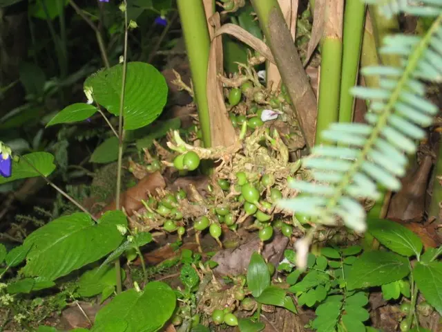
Kumily’s other economy is cardamom, and it is more organised than it looks. Guatemala grows more cardamom than anyone; India is second, and within India Kerala accounts for around 59 per cent of production, almost all of it from these hills. The trade is auctioned, not haggled: the Spices Board runs the small-cardamom e-auction, introduced in 2007 to replace open outcry and moved onto a cloud platform in 2021 so that centres can sell simultaneously. There are two centres. One is at Bodinayakanur in Theni district, over the border; the other is at Puttady, in the Vandanmedu belt about eleven kilometres north of Kumily — same PIN code, 685551. A single ordinary sale gives the scale: on 19 August 2026 the auctioneer Idukki Mahila Cardamom Producer Company Limited put up 228 lots, 48,947.9 kg arrived, 44,614.9 kg sold, the top lot at ₹4,047 a kilogram and the average at ₹3,143.31. That is one auctioneer, one morning.
The town is a border town in the practical sense, not the picturesque one. NH 183 — the old NH 220 — runs 265 kilometres from Kollam to Theni, 210 of them in Kerala and 55 in Tamil Nadu, and the whole of the Kottayam–Kumily road, the KK Road, is part of it; the highway crosses out of the state here and goes on through Kambam. NH 185 comes down from Adimali by way of Kattappana and simply ends at Kumily. The nearest railway station is Theni, 66 kilometres away in Tamil Nadu — decisively closer than Kottayam at 106. The airports are another matter: routing over the mapped road network in August 2026 gave 151 kilometres to the Madurai terminal and 148 to Cochin International, a near tie — so the folk claim that Tamil Nadu is closer holds for the train, and only barely, if at all, for the plane. The “about 120” that gets quoted for Madurai is roughly the straight line. Tamil is heard as much as Malayalam. Sabarimala pilgrims come through in season in numbers the reserve’s own managers have measured in the millions over a two-month window, and estate labour crosses the line daily.
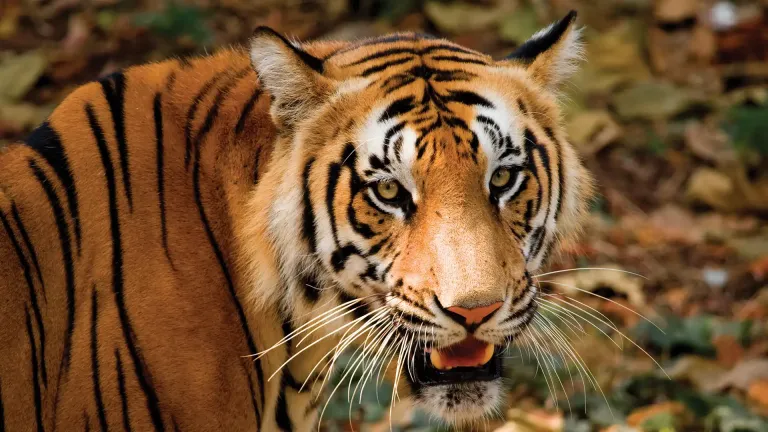
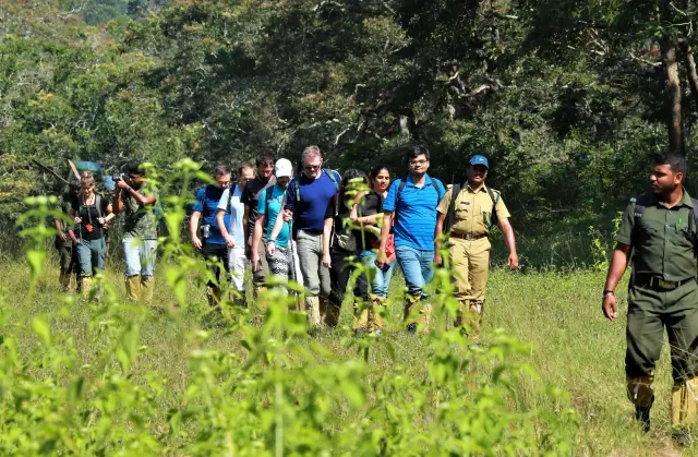
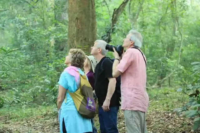
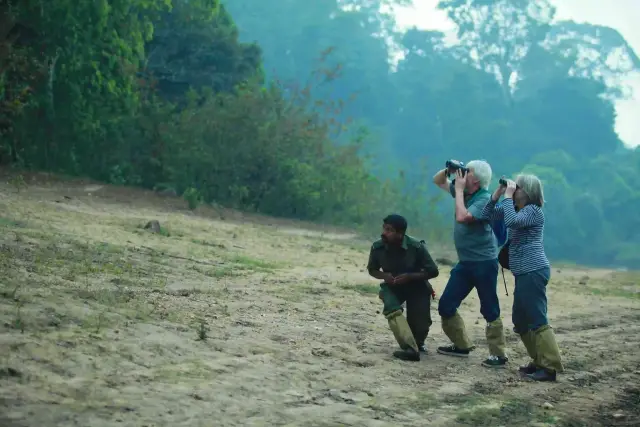
The last strand is the one worth travelling for. Under the India Eco-Development Project — approved on 5 September 1996, effective that December, closed on 30 June 2004, funded by an IDA credit of US$28 million and a Global Environment Facility grant of US$20 million within an appraised US$67 million package — seven Indian protected areas were meant to be managed with the people on their edges rather than against them. About 580 eco-development committees covering roughly 75,000 households were in place at completion. The Bank’s own independent evaluation picked Periyar and Ranthambhore for field visits precisely because they were the extremes, and it named Periyar the most successful of the seven. Its finding on the point is one flat sentence: converting poachers and other trespassers into eco-tourism guides has reduced poaching. In the same paragraph it records that unemployment in many villages around the reserve was still running at 60 per cent, which is the fact that makes the first one mean something. The Periyar Foundation was set up in 2004 to carry the arrangement past the project’s end, and it is funded from the gate: of ₹300 then charged to a foreign visitor, ₹200 went to the central government and ₹100 to the Foundation; of ₹25 charged to a resident, ₹15 and ₹10 respectively.
The settlement itself is young. These forests were cleared for plantations under Travancore in the early twentieth century, and migrants from central Kerala and from Tamil Nadu were resettled to grow cardamom, tea and rubber through wildlife attacks and malaria; the heaviest wave came with the post-war agricultural expansion of the 1940s and 1950s. Kumily was in Kottayam district until Idukki was carved out on 26 January 1974, and Kumily Grama Panchayat — which takes in both the Kumily and Thekkady revenue villages — was constituted under the Kerala Panchayat Raj Act of 1994. The 2011 census put the panchayat at 35,915 people and the revenue village at 30,276 in 7,404 households, with literacy at 90.5 per cent against a state figure of 94, and a sex ratio of 997 women to 1,000 men against a state 1,084 — both numbers reading exactly as a plantation-labour town should read.
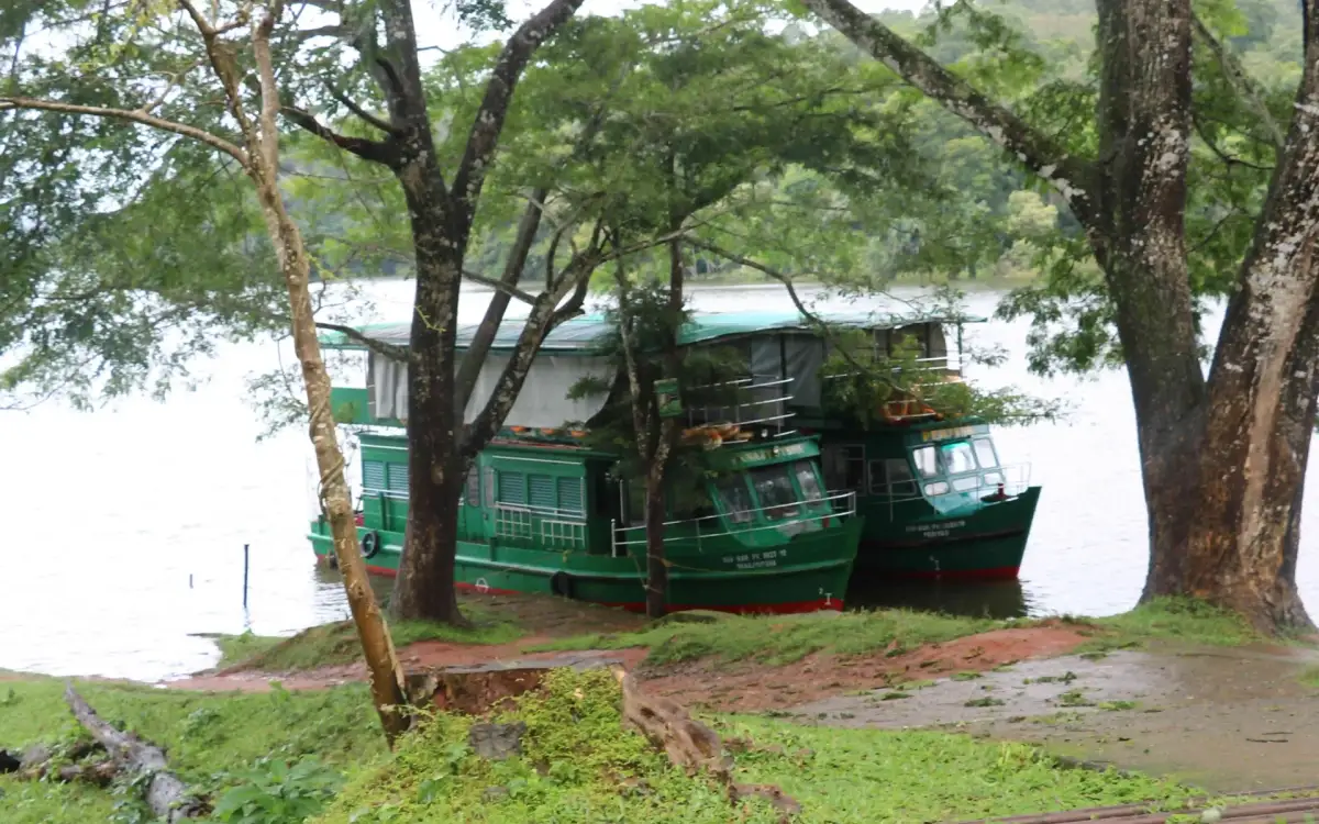
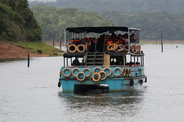
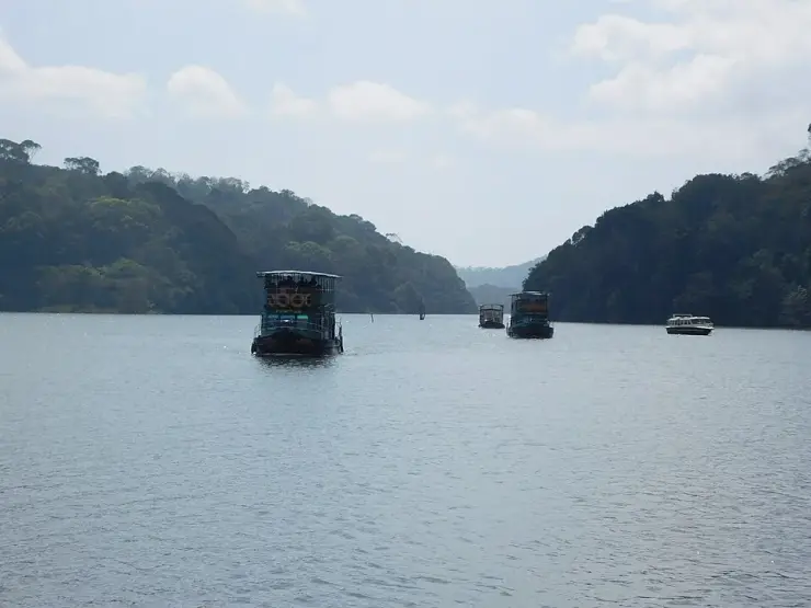
One more thing belongs on the record because it changed how everyone here works. On the afternoon of 30 September 2009 the KTDC boat Jalakanyaka, carrying about 76 people, capsized at Manakkavala roughly twelve kilometres out from the landing. The Malayalam account gives 46 dead, including eleven women and thirteen children; the figure is widely reported as 45, and we have not been able to reconcile the two. The immediate cause was given as passengers crowding to one side when elephants were sighted on the shore. The Crime Branch office at Kottayam began the inquiry and Justice E. Moideen Kunju conducted the commission that followed; Dr S. K. Pyarilal, formerly head of Ship Technology at Cochin University, gave evidence on defects in the vessel’s design and stability. Anyone who has been handed a life jacket at the boat landing and told, firmly, to sit still, is being handled by the consequences of that afternoon.
Legend & myth
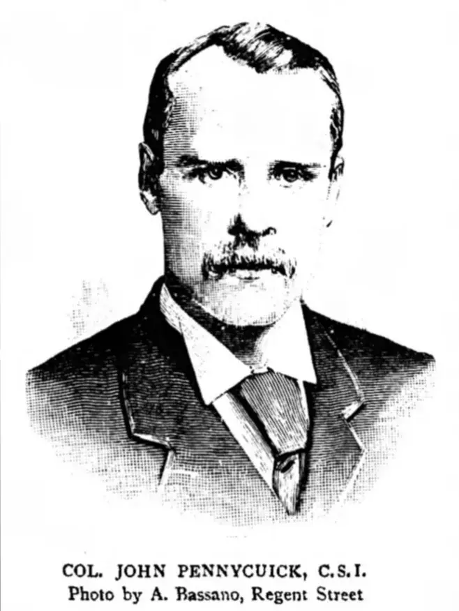
The strangest devotional fact in this landscape is not in a temple. It concerns a British Army engineer, and it is thoroughly documented. Colonel John Pennycuick (1841–1911), who drove the Mullaperiyar works through from May 1887 to their completion on 10 October 1895, is venerated as a god in the Tamil districts his diversion watered. Farming families in Theni and Madurai keep his portrait in the hall or the puja room alongside images of deities; they garland it, perform aarati to it and prostrate before it. At Palarpatti in Theni district pongal is cooked in front of his statue on his birthday, which falls on 15 January and so coincides with the Thai Pongal harvest festival itself; at Veerapandi, Balarpatti, Kutchanoor and Kuzhiyanur he is remembered at the same festival. Children in the command area are named after him. The Public Works Department keeps a life-size bronze of him at Madurai and has put busts on four of its premises — including one at the dam, and one at its own inspection bungalow at Thekkady, on this side of the line. A memorial went up at Lower Camp in January 2013 and a new bus terminus in Theni took his name that December.
The veneration has crossed back to England. Pennycuick is buried in the churchyard of St Peter’s at Frimley in Surrey; in 2018 the grave was renovated and a large granite plaque added, given jointly by Kerala and Tamil Nadu, and in September 2022 a bust donated from Tamil Nadu was unveiled at Camberley. Whatever anyone thinks of the lease, two states that cannot agree on the water have twice agreed on the man who moved it.
Attached to him is a story that needs handling carefully, because it is half true. It is told throughout the Vaigai country that when the British government withheld funds, Pennycuick went home and sold his wife’s jewellery to finish the dam. The documentary record is close but not identical: it says he went to England and sold his family property to raise the money. The jewellery is the version that is repeated; the property is the version that is written down. His own recorded sentence about the work is worth keeping either way — that he was going to be only once in this earthly world, and so needed to do some good deeds here, and that the deed should not be put off or ignored, since he was not going to be here again.
On the Kerala side the legend belongs to the signing rather than the building. It is told that the Maharaja of Travancore, foreseeing what the deed would cost his country and knowing he could not refuse it, said as he put his name to it: I sign this with my heart’s blood. The Malayalam Wikipedia article on the lease deed attributes those words to Visakham Thirunal Rama Varma. That cannot be right as a description of the signing, and the arithmetic is easy to check: Visakham Thirunal died on 4 August 1885, fifteen months before the deed was executed, and the Maharaja on the throne on 29 October 1886 was Moolam Thirunal Rama Varma — which is exactly who the same encyclopaedia names in its article on the tiger reserve. So either the sentence belongs to Moolam Thirunal, or it belongs to Visakham Thirunal at some earlier point in the twenty-four years of negotiation and has since slid forward onto the day of signature. We cannot tell you which. We can tell you that a legend has attached itself to the wrong king, and that the resistance behind it is real: Travancore held out for a generation.
The names of the two settlements are quieter and both are about what the place used to be. Thekkady comes from thekku, teak — the tree that was cut here. Kumily comes from kumil, the Tamil and Malayalam word for a bubble or a spring, for the natural water sources of the cardamom hills; the Kerala revenue department’s own village office gives that derivation. One town is named for a tree that was felled and one for water that still comes up out of the ground, which is a fair summary of what happened to this ridge.
There is a legend of real weight in these hills, and it is not ours to tell twice. High on the border ridge stands the ruined Mangala Devi Kannagi temple, sacred to Kannagi of the Silappadikaram, who burned Madurai and came into the mountains. Every account of Thekkady reaches for it, and we refuse it here on purpose: that story, the shrine, the single-day Chithra Pournami opening and the jurisdictional tangle over the temple all belong to our Mangala Devi page and to the tiger reserve page, and repeating them on the town hub would be padding dressed as folklore. Go and read them there.
What the town does have instead is a border deity of a different kind. The Mannan, one of the communities of these forests, hold Madhura Meenakshi — the goddess of the great temple at Madurai, on the plains the Periyar water was sent to irrigate — as their kuladevata, their tutelary deity. Their settlement headquarters is at Kozhimala in Kanchiyar panchayat rather than here, and their four ritual divisions carry names that are themselves a map: Thekkottu Kattu Rajyam, Nadukkuda Kattu Rajyam, Athal Orupuram, Chenkanattu Mala. The Paliyan are the other community most often named alongside them. A forest people on the Kerala flank whose goddess lives across the pass is the oldest version of the thing this whole page is about: that the watershed is a line on a map and not a line in anybody’s life.
Finally, an absence, and what was searched for it. We looked in Malayalam for a temple tradition, a festival, a bhagavathy shrine, a sarpakavu or an origin legend belonging to Kumily itself — searching ക്ഷേത്രം, ഐതിഹ്യം and ഉത്സവം against കുമളി, and reading the Malayalam articles on Kumily, Kumily Grama Panchayat and Thekkady, together with the panchayat-level material. Every search returned Mangaladevi, Madurai Meenakshi or Sabarimala; nothing returned Kumily. That is a defensible blank rather than a gap in our reading, and the reason is in the town’s own history: this is a twentieth-century plantation settlement cut out of reserve forest, with a population assembled from elsewhere within living memory. Its oldest sacred object is a dam.
More about Thekkady and Kumily
History
The chain begins with the deed of 29 October 1886 and the works that followed. Construction ran from May 1887 to October 1895 under Pennycuick, using a mortar of lime and surkhi — burnt brick powder — faced with rubble, on gravity principles. The dam stands 53.6 m (176 ft) from foundation, 365.7 m (1,200 ft) long, 3.6 m wide at the crest and 42.2 m at the base. It was inaugurated by Lord Wenlock, Governor of Madras. Pennycuick was made a Companion of the Order of the Star of India on 10 October 1895 — the day the dam was completed.
The reservoir made the reserve, and the sequence is on the Kerala Forest Department’s own record: the lakeside forests were protected from 1899, S. C. H. Robinson was appointed game warden in 1933, the Nellikkampatty Game Sanctuary followed in 1934 as the first wildlife sanctuary in what is now Kerala, and in 1950 the tract was reconstituted as the Periyar Wildlife Sanctuary. Periyar came under Project Tiger in 1978. The formal notification as a Tiger Reserve under the amended Wildlife (Protection) Act came much later, by G.O.(P) No. 75/07/F&WLD dated 31 December 2007; the Goodrickal range was added by G.O.(MS) 88/2010 dated 23 December 2010 and the 44 sq km buffer notified by G.O.(P) No. 18/2011 dated 22 March 2011, for a present total of 925 sq km around an 881 sq km core.
Kumily itself was made by clearance and migration. Forest was opened for plantations under Travancore in the early twentieth century and settlers from central Kerala and Tamil Nadu were brought in for cardamom, tea and rubber; the district administration’s own history records the wildlife attacks and malaria they worked through. The heavy migration came with post-war agricultural expansion in the 1940s and 1950s. Kumily joined Travancore-Cochin in 1949, sat in Kottayam district after the formation of Kerala on 1 November 1956, and passed to Idukki when that district was created on 26 January 1974.
The modern institutional history is short and unusually well documented. The India Eco-Development Project ran from 1996 to 2004 and made the eco-development committee the working unit of forest management here. The reserve was split administratively into Periyar East and Periyar West divisions in 2001. The Periyar Foundation was constituted in 2004 to carry the arrangement forward on gate revenue after the project money stopped. Kumily Grama Panchayat, covering the Kumily and Thekkady revenue villages, dates from the Kerala Panchayat Raj Act of 1994.
The dam litigation is its own chronology and it is not finished: the storage cut after 1979, the Supreme Court order of 2006, the Kerala amendment of the same year, the Justice A. S. Anand empowered committee constituted on 18 February 2010 with Justice K. T. Thomas representing Kerala, the Constitution Bench judgment of May 2014 and the Supervisory Committee it created, the 2021 UN University report and the shutter dispute of December 2021, and the Supreme Court’s decision in August 2024 to look again at the validity of the lease itself.
Why visit
It is one of the very few places in India where you can stand in a town and see the whole apparatus of an inter-state water dispute — the dam, the command area over the pass, the highway the argument travels on — within a few kilometres of each other.
The cardamom trade here is a real, functioning auction economy, not a demonstration for visitors: the Spices Board sells at Puttady, up the road, on most trading days.
Kumily is a genuine border town, with Tamil spoken as freely as Malayalam, Theni as its nearest railhead and Madurai as its nearest airport — the least insular hill town in Kerala.
The reserve on its doorstep is the site of India’s best-documented experiment in handing forest protection to the people who used to be prosecuted for entering it, and the World Bank’s own evaluation rated it the most successful of the seven protected areas in the programme.
At around 880 metres it is cool the year round, and it is the natural pivot between the Idukki high range to the north and the Pathanamthitta forests to the south-west.
It is the one place to understand why the Periyar, Kerala’s longest river, arrives in the lowlands already short of a share of its own water.