History
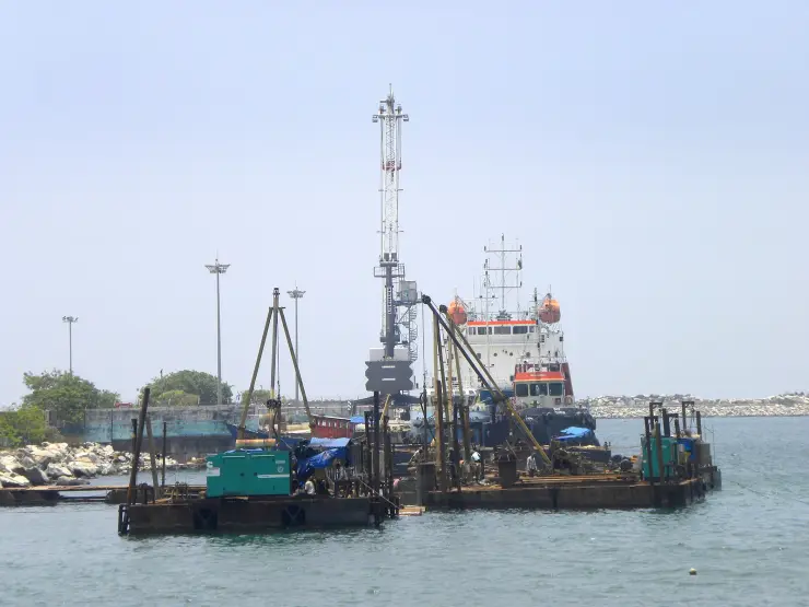
Kollam's harbour is the reason the lake has a history at all. The town's own calendar begins in 825 CE — the Kollam Era, still used in Kerala — and within a generation the port was important enough to leave one of South India's most remarkable documents. The Tarisappalli copper plates of 849 CE, a grant to the Syrian Christian merchant Maruvan Sapir Iso, are signed by witnesses in Arabic Kufic, cursive Pahlavi and Judeo-Persian Hebrew: proof that Persian, Arab and Jewish traders were living and doing business here twelve hundred years ago. Chinese ships came too. A Tang minister's sailing directions of about 801 place a kingdom identified with Kollam on the Guangzhou–Persian Gulf run, and a Persian merchant writing around 851 reports that Kollam was the one Indian port the great Chinese junks called at, charging them a thousand dinars where other ships paid ten. Pepper, sapanwood, coconut and areca nut went out; Chinese coins and celadon came in, and they are still coming up out of the ground at Thangassery and out of the dredged mud of the harbour. Marco Polo reached the town he called Coilum around 1292 and wrote down its pepper and its indigo; Ibn Battuta, fifty years later, called it one of the finest towns on the Malabar coast.
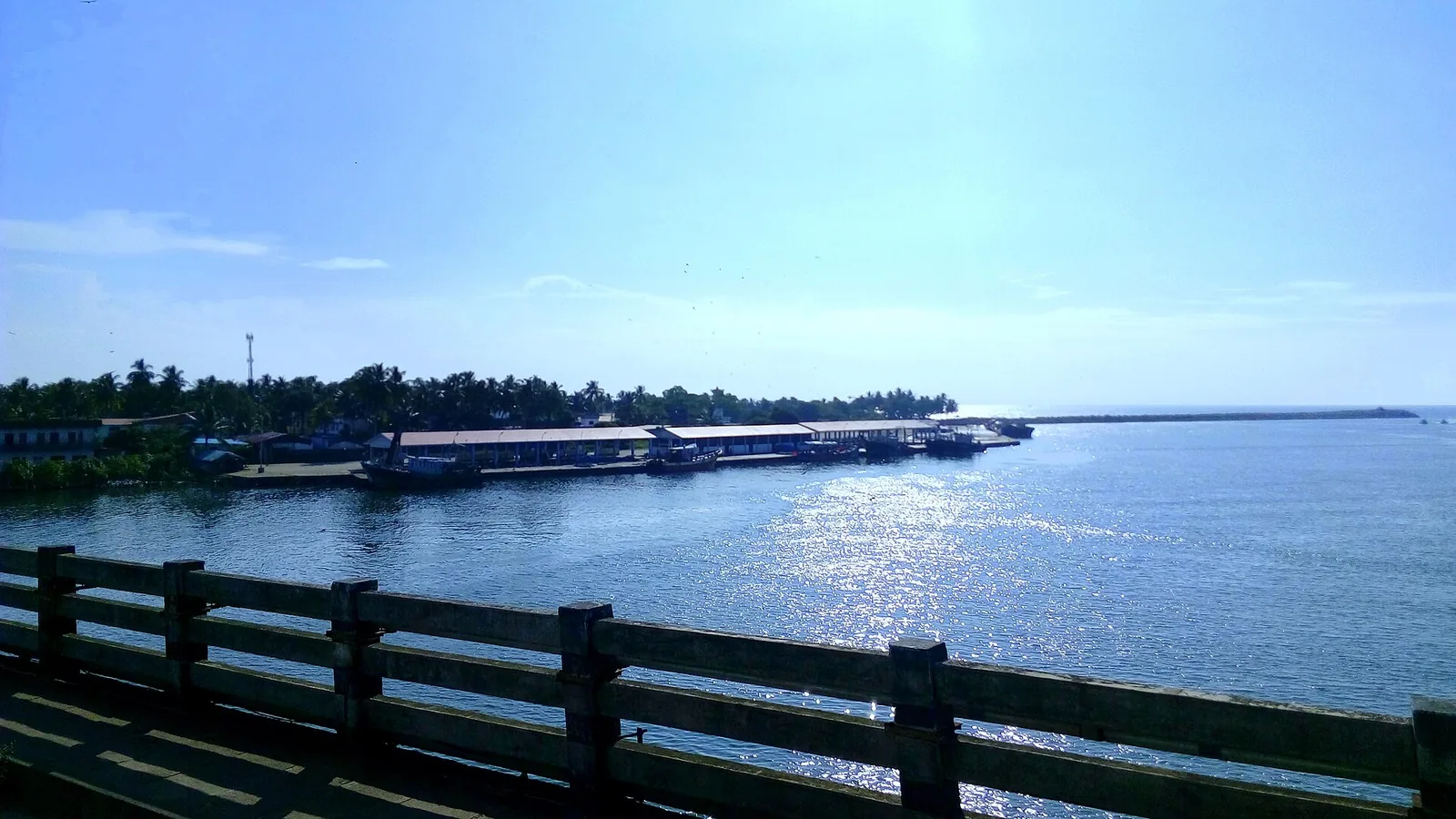
One correction to the story as it is usually told. Kollam is routinely said to have traded with the Phoenicians and the Romans in the early centuries of the Common Era. It did not, on any evidence we can find: Phoenicia as a maritime power was gone by the end of the fourth century BCE, no Phoenician or Roman source names Kollam, and none of the Periplus ports — Nelcynda, Bacare, Tyndis — is placed here by any scholar we could trace. The line descends from a single self-refuting sentence on the district administration's own website, which cites "Roman and Phoenecian accounts from the first century C.E." A thousand-year documented record needs no help from a fictional extra millennium. Nor does the lake itself carry the claim: the excavated medieval port site is at Thangassery, on the open sea coast, and the modern harbour is at Neendakara on the barmouth, so the sheltered water was the country behind the port rather than, so far as anyone has shown, the anchorage itself.
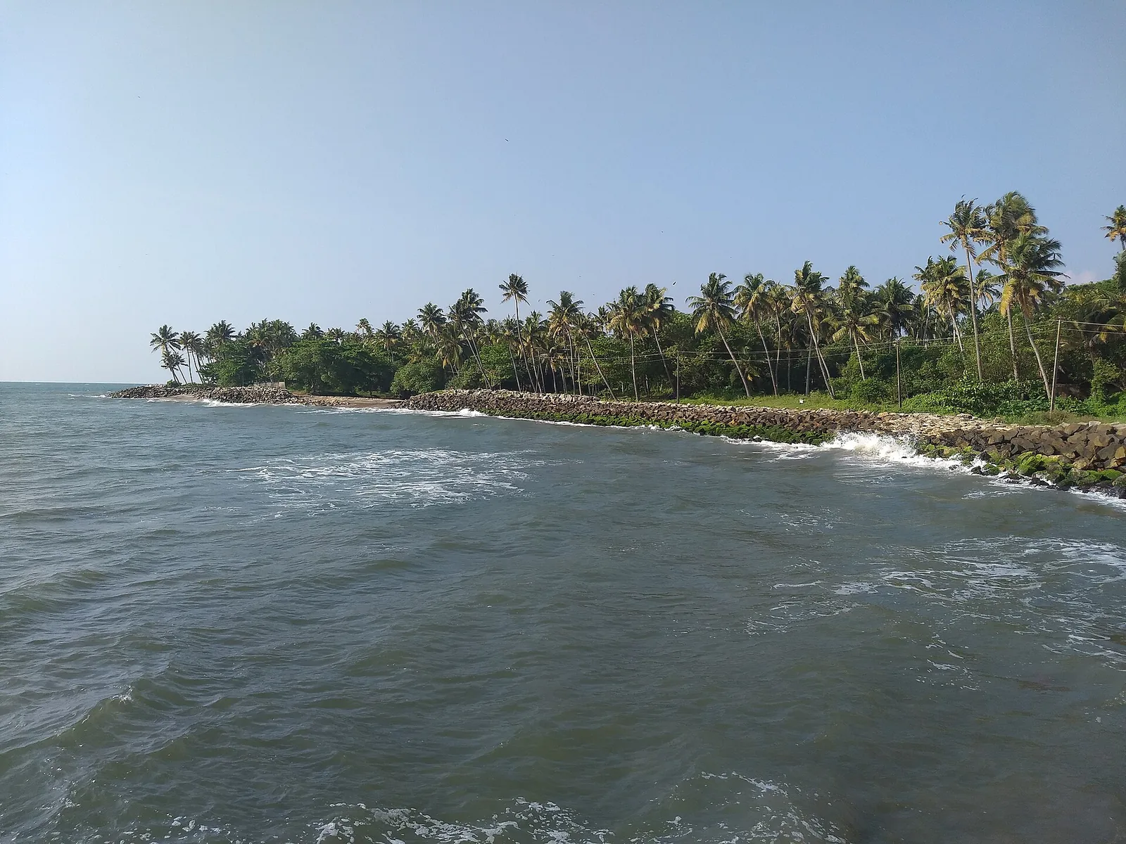
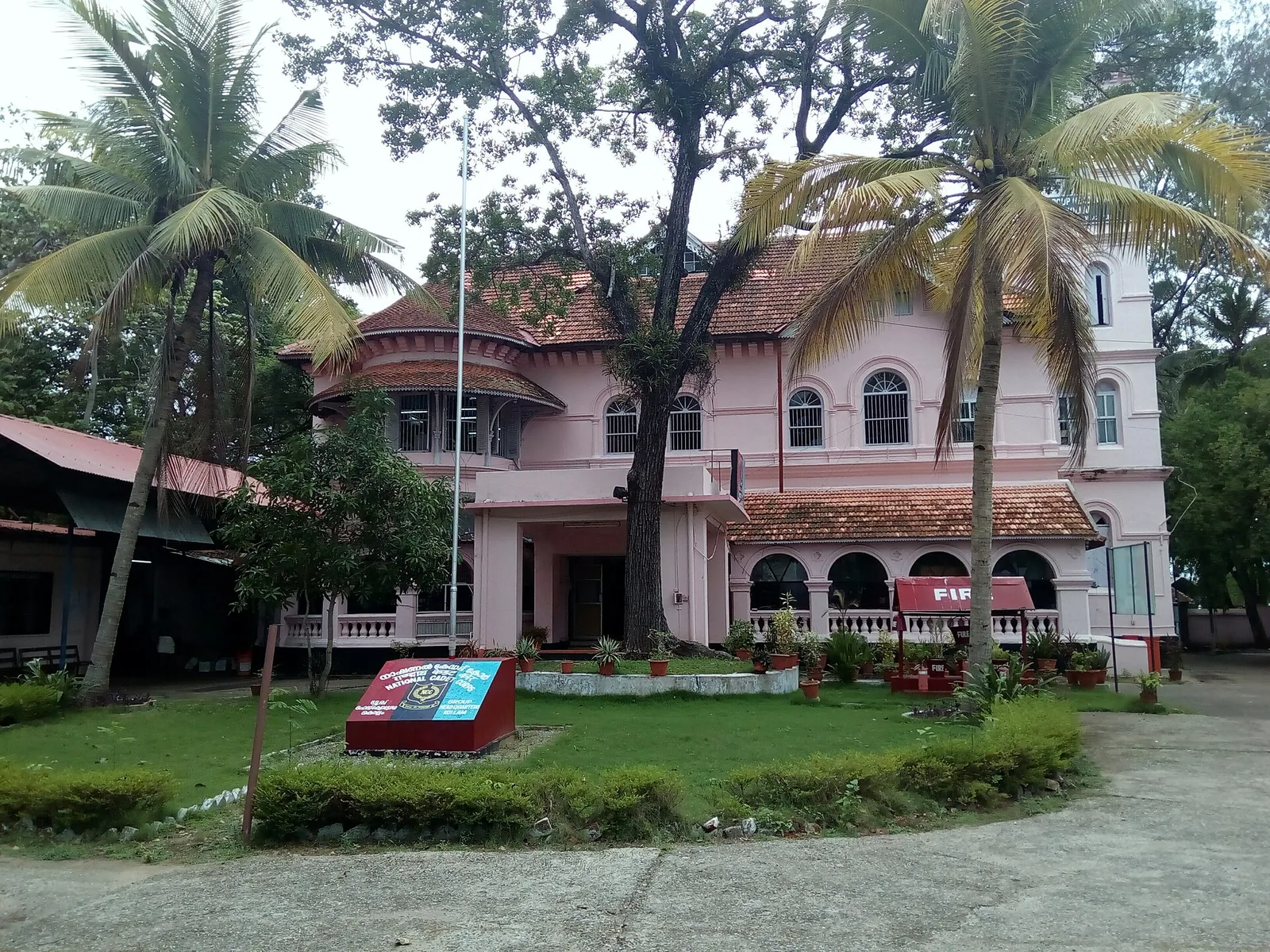
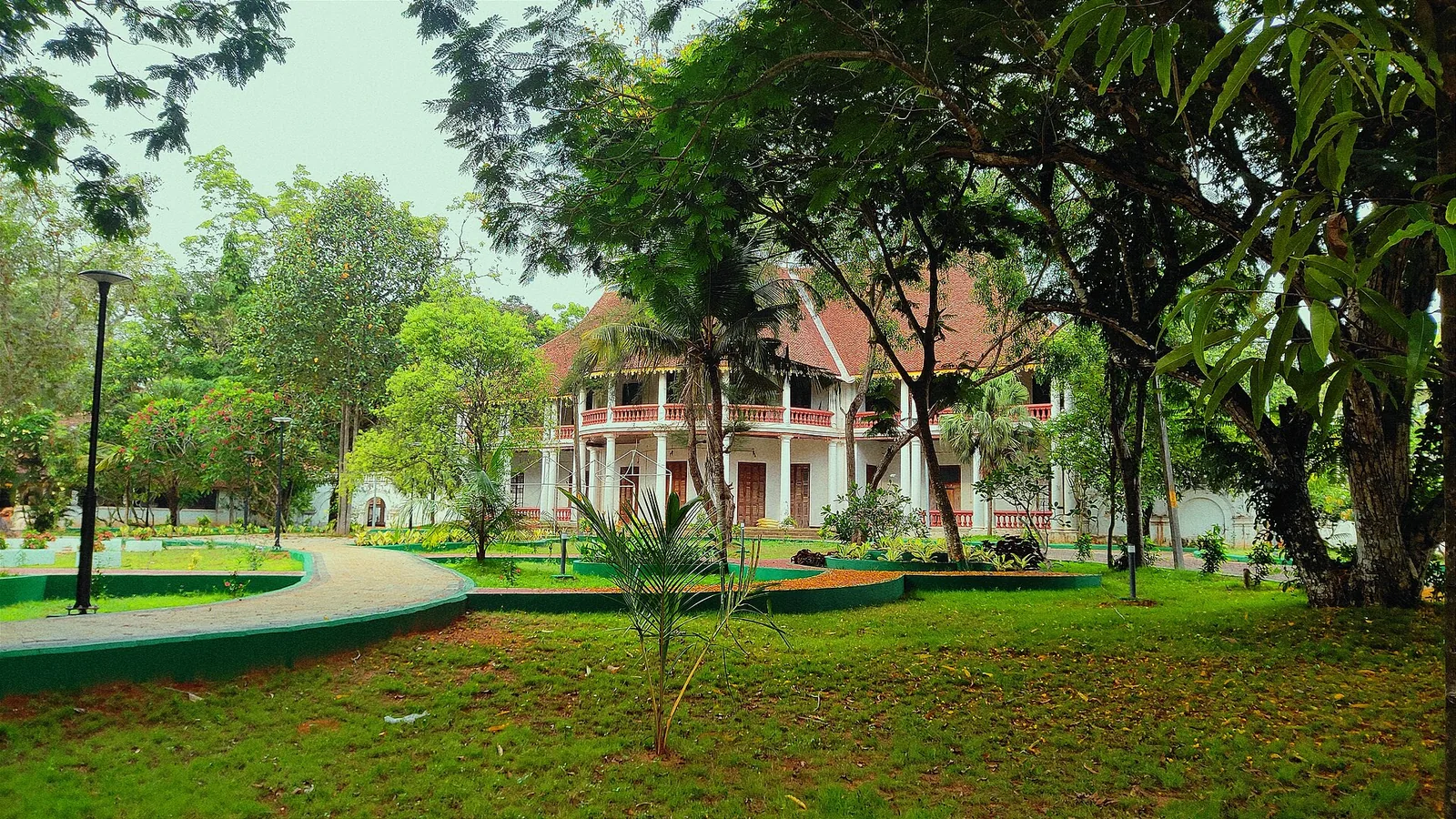
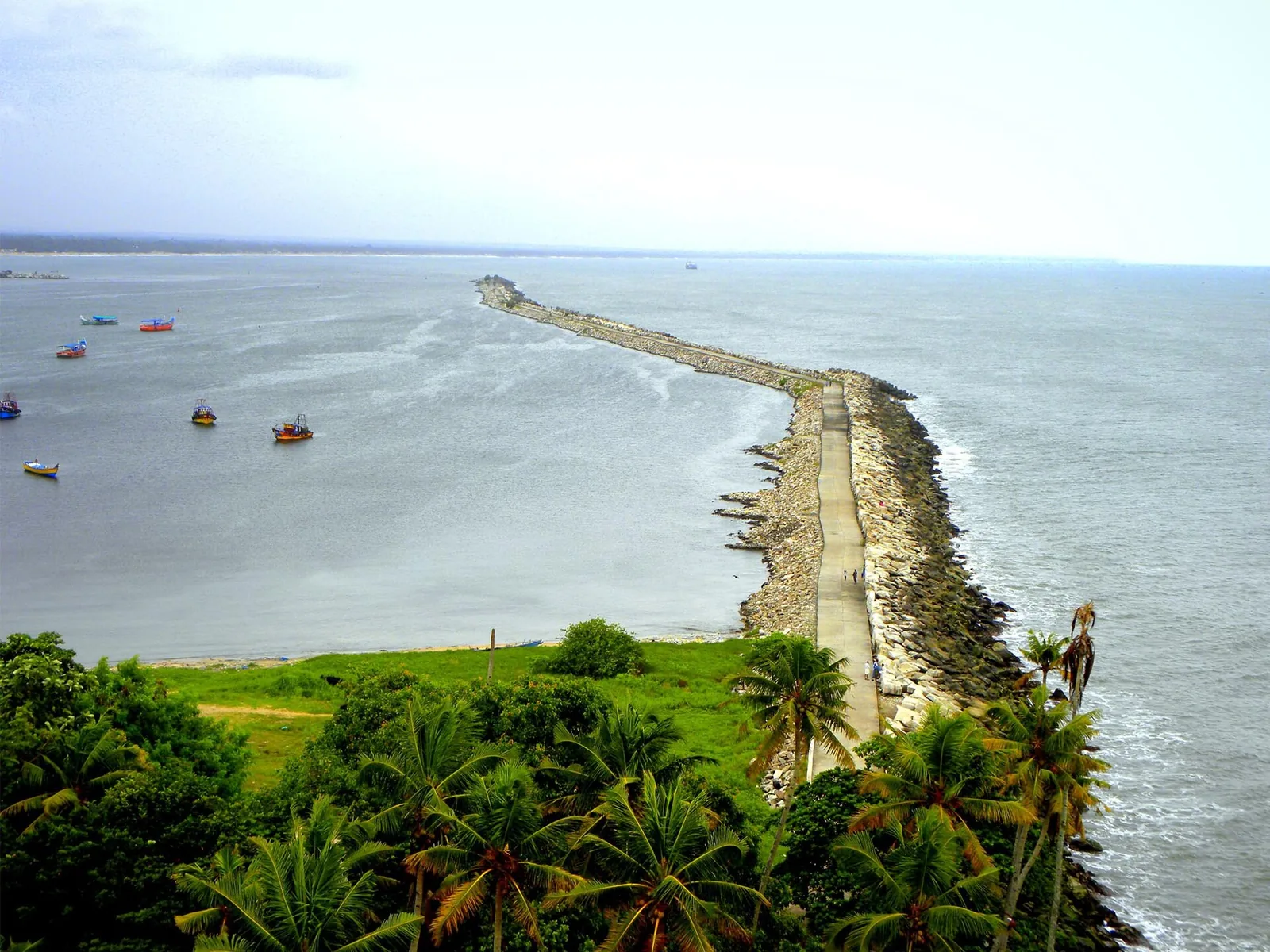
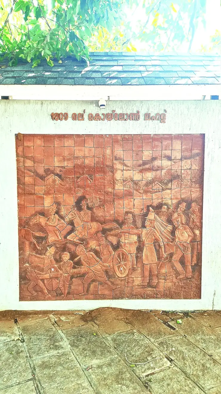
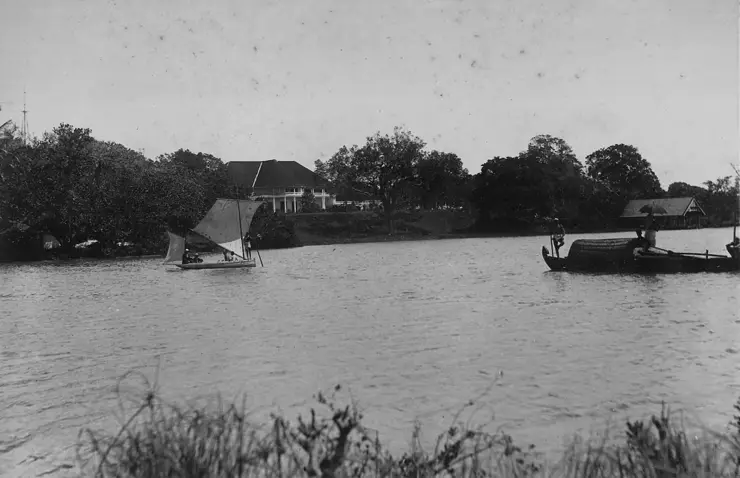
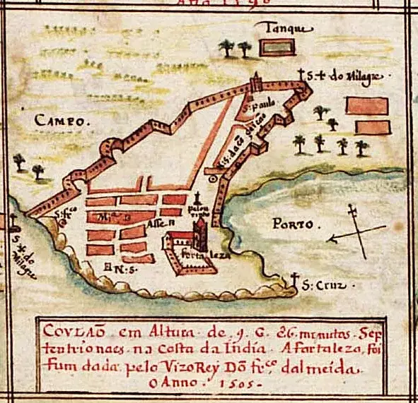
The Portuguese arrived in the early 16th century and built a fort at Thangasseri to control the pepper trade, followed in turn by the Dutch and the British — layers of history still legible along the Kollam waterfront.
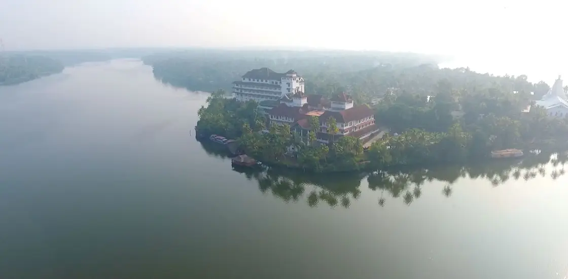
Ecologically, Ashtamudi is an estuarine wetland of about 61 square kilometres, second in Kerala only to Vembanad — and it is the deepest estuary in the state, reaching about 6.4 metres at the confluence zone, a figure most descriptions of it omit entirely. All eight arms converge on a single outlet at Neendakara before entering the sea, which is the fact that explains almost everything else about the place: eight arms, one door. It sits about ten metres above sea level. It was designated a Ramsar Wetland of International Importance on 19 August 2002, as site number 1204.
A caution about that Ramsar listing, because the numbers on it do not agree with each other. The Information Sheet gives the site area as 61,400 hectares — 614 square kilometres, which would make Ashtamudi larger than the whole coastal plain of Kollam district. Six pages later the same sheet says twice that the extent of the lake zone is 61.4 square kilometres, which is 6,140 hectares. A decimal point has moved one place at the top of the form while the body of the form kept the real number, and because Ramsar is the authority the tenfold figure has been copied into gazetteers, tourism boards and study guides ever since. The 61 square kilometres on this page is the one that matches the scientific literature and the sheet's own body text.
It is fed chiefly by the Kallada, which the sheet describes as originating in the Western Ghats, traversing virgin forest and falling into the Ashtamudi wetland after about 120 kilometres — and which is not really a single river at all. It is formed by the meeting of three hill streams, the Kulathupuzha, the Chenthurunipuzha (also called the Shendurney) and the Kalthuruthipuzha, which come together in the Parappar reservoir at Thenmala. The commonly printed catchment figure of about 1,700 square kilometres is repeated everywhere and we could not put a primary source under it, so treat it as indicative. The tidal mixing of fresh and salt water at Neendakara creates the brackish conditions on which the whole food web depends.
The lake supports remarkable biodiversity for its size: dozens of fish species, more than fifty species of birds, and fringing mangroves — three true ones, Avicennia officinalis, Bruguiera gymnorrhiza and Sonneratia caseolaris, with some forty-three marsh and mangrove associates — that act as nurseries for commercially important shrimp. The most reliable bird count comes not from the Ramsar sheet but from the Ashramam Biodiversity Heritage Site on the Kollam waterfront, over fifty hectares of guest-house grounds, mangroves and creek, where surveys record 15 mangrove species, 22 associates, 122 plants, 34 edible fish and 62 birds. Winter brings migratory waterfowl to the mudflats, and the mangrove pockets shelter herons, egrets, kingfishers and cormorants — making the quieter arms, and Munroe Island in particular, a rewarding stretch for casual birdwatching from a canoe.
It is worth knowing what the lake was actually listed for. The Ramsar criteria invoked in 2002 were numbers one, two, three and eight, with the eighth named as the most significant — and criterion eight is about fish. Ashtamudi was placed on the list of internationally important wetlands primarily as a nursery and migration route for fish, not for scenery and not for birds. The same sheet is unusually blunt about what was being done to protect it at the time. Under conservation measures taken, it says NIL. Under current scientific research and facilities, NIL. Under current conservation education, NIL. Three consecutive nils on the form that made it internationally important.
The threats the sheet named are still the threats. First on its list is pollution from oil spills from thousands of fishing boats. Then coconut husk retting — concentrated, not general, and predominant in the eastern arms nearest the Kallada inflow where the water is freshest. Then untreated sewage from Kollam city and direct disposal from hanging latrines. And then, named individually rather than lumped together as industry, the Punalur paper mills, Aluminium Industries Ltd and the ceramics works. The management plan of the day proposed a marine bio-reserve, a mangrove rehabilitation zone at the Kallada confluence, and a nature conservation park for small mammals and birds on an uninhabited island inside the reserve. The island park was never built.
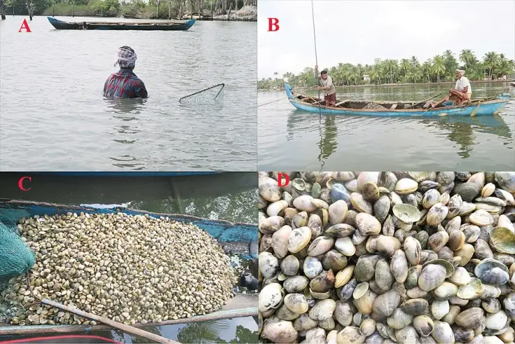
Ashtamudi's best-known modern distinction is its clam fishery. The short-neck clam beds here have been worked since 1981 and support around three thousand people who collect, clean and process the catch, once driven by export demand from Vietnam, Thailand and Japan. After overfishing crashed the harvest in the early 1990s, a closed season, a minimum export size and a ban on mechanical harvesting were introduced; the recovery was so successful that in November 2014 the fishery became the first Marine Stewardship Council-certified sustainable fishery in India — a landmark achieved jointly by CMFRI, WWF, the State Fisheries Department and the local fishing community. That certificate no longer exists, and the reason is set out in full below.
There is a stranger footnote to it. In November 2018, four years after the certificate was issued, a paper in the journal ZooKeys by Arathi A. R., P. Graham Oliver, R. Ravinesh and A. Biju Kumar established that the certificate — and every published report before it — had named the wrong animal. The clam was everywhere identified as Paphia malabarica. That name did not conform to current nomenclature and properly referred to Protapes gallus; and Protapes gallus, the authors showed, does not live in Ashtamudi Lake at all but in the shallow coastal waters offshore. The clam actually being fished here is Marcia recens. Working taxonomists then disagreed about the fix — a molecular study argued from a 28.9 per cent genetic distance that the older name should be retained — but nobody disputed the underlying point, which is that the clam on the certificate was not the clam in the bucket.
Why visit
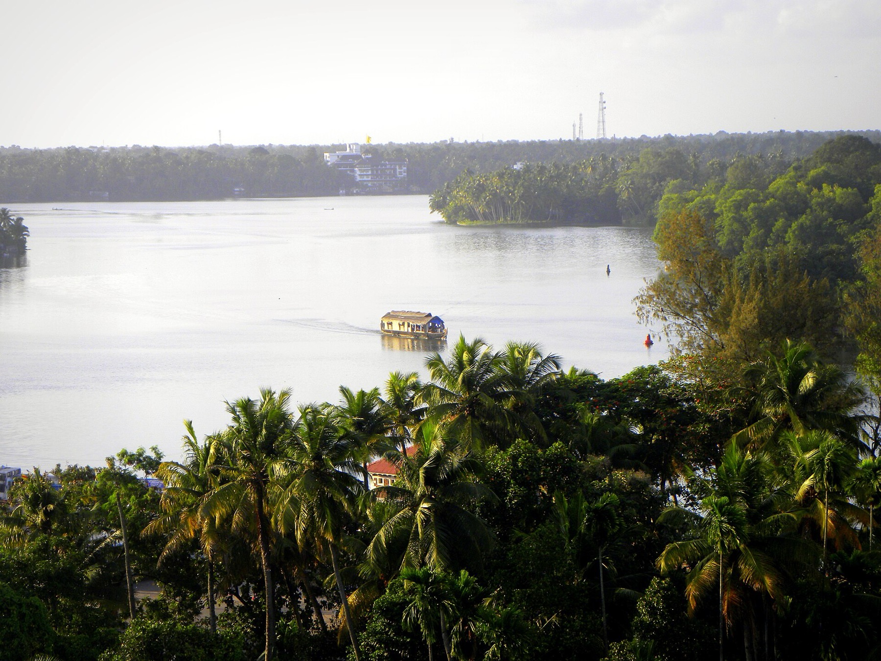
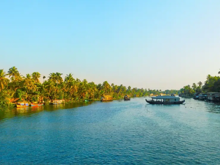
The gateway to Kerala's backwaters — Ashtamudi is where the great inland waterway begins, offering the same palm-fringed canals and kettuvallam cruising as Alappuzha but with noticeably fewer crowds and a more intimate, tucked-away feel.
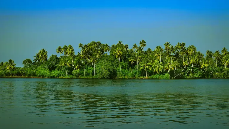
The eight-armed lake itself — a genuinely unusual, many-branched waterscape whose hidden channels, wide lagoons and mirror-still reaches reward slow exploration by houseboat or canoe.
Kerala's most famous long cruise — the eight-hour DTPC ferry from Kollam to Alappuzha, billed as the longest backwater cruise in the state, linking three great lakes through a chain of village canals.
Munroe Island — a serene cluster of islets explored by small country canoe through canals too narrow for houseboats, giving one of the most authentic glimpses of Kerala backwater village life anywhere in the state.
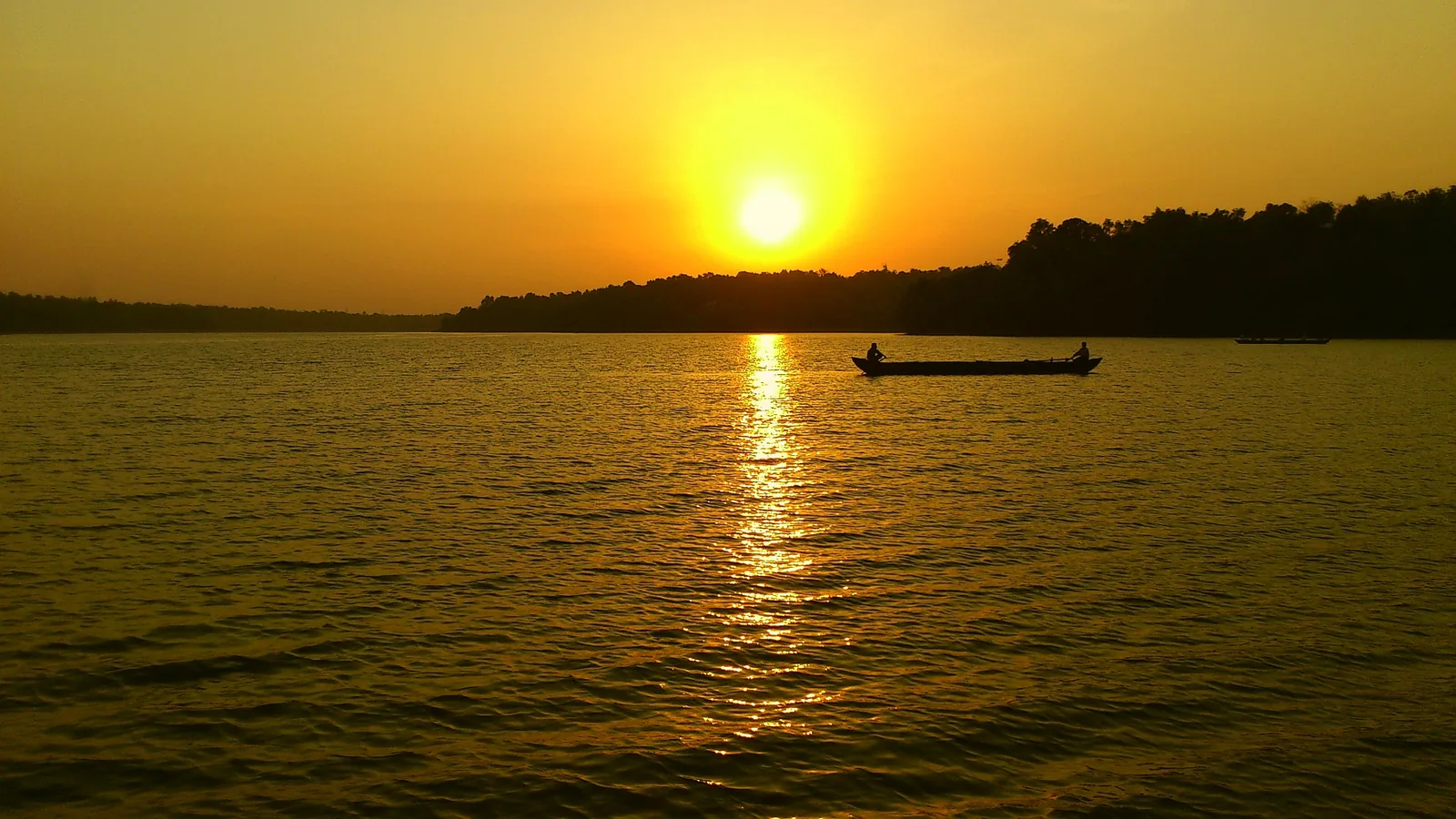
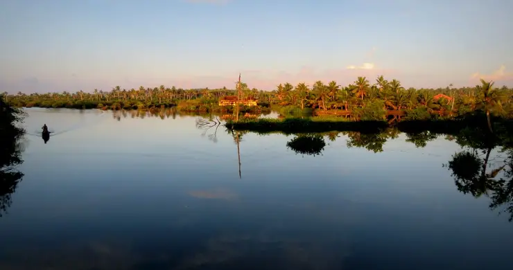
Sunsets and birdlife — Ashtamudi is renowned for luminous backwater sunsets, while its mangroves and mudflats draw kingfishers, egrets, herons and winter migratory birds for easy waterborne birdwatching.
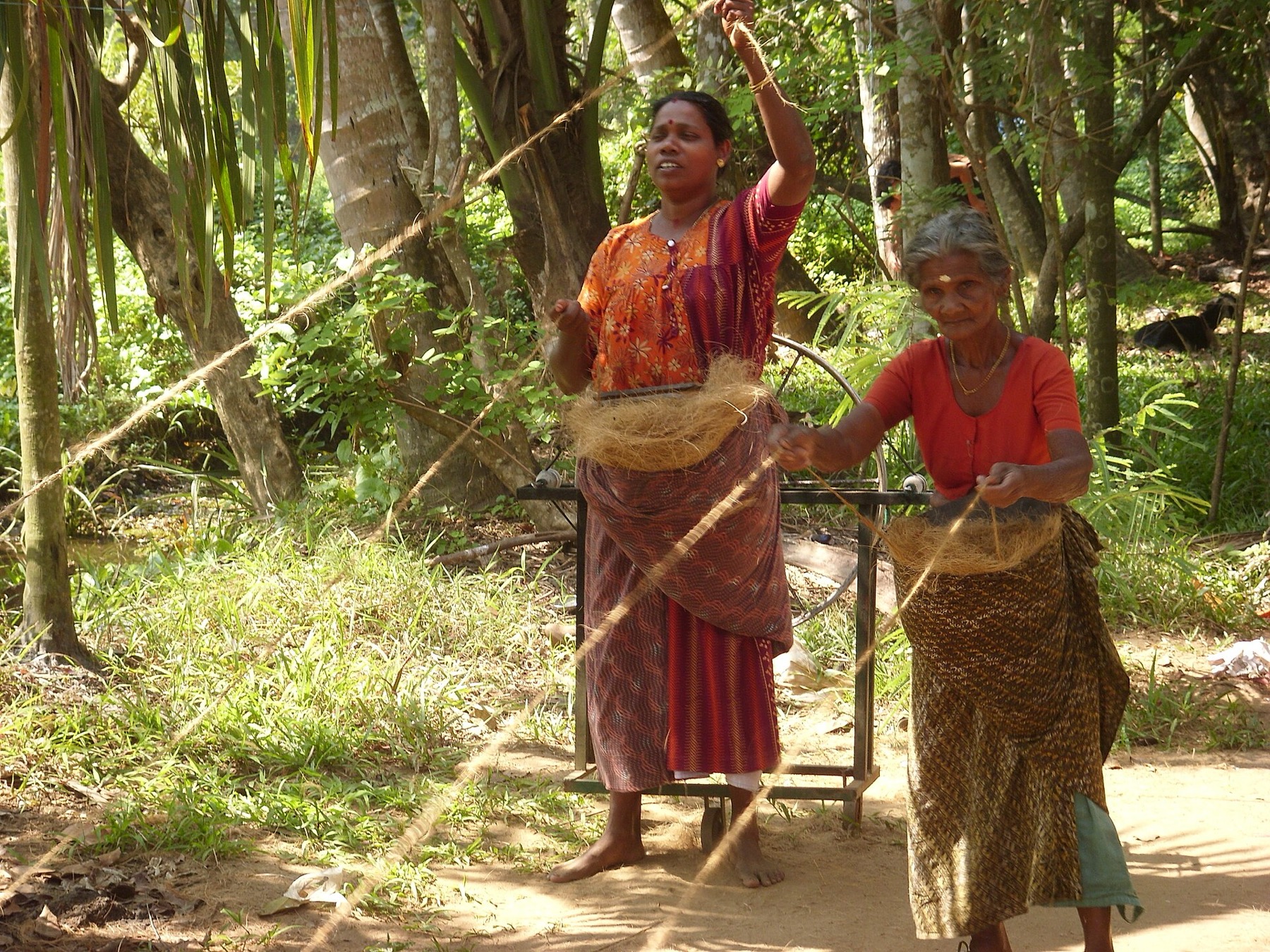
A living wetland with a story — a Ramsar site, the deepest estuary in Kerala, and the home of what was India's first MSC-certified clam fishery until the certificate was withdrawn in 2020, where you can watch traditional clam-raking and coir work as part of a genuinely working landscape, all beside the ancient port of Kollam. Worth knowing that the working landscape and the wetland are not always on the same side: coconut-husk retting is a documented pollutant of this estuary, and Kerala's own labour institute has recommended discouraging it.